Rat Creek - Level 2 (optional 3)
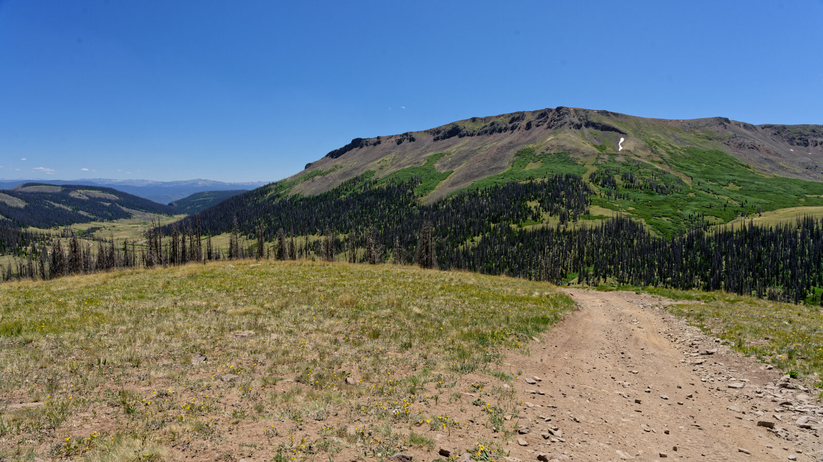
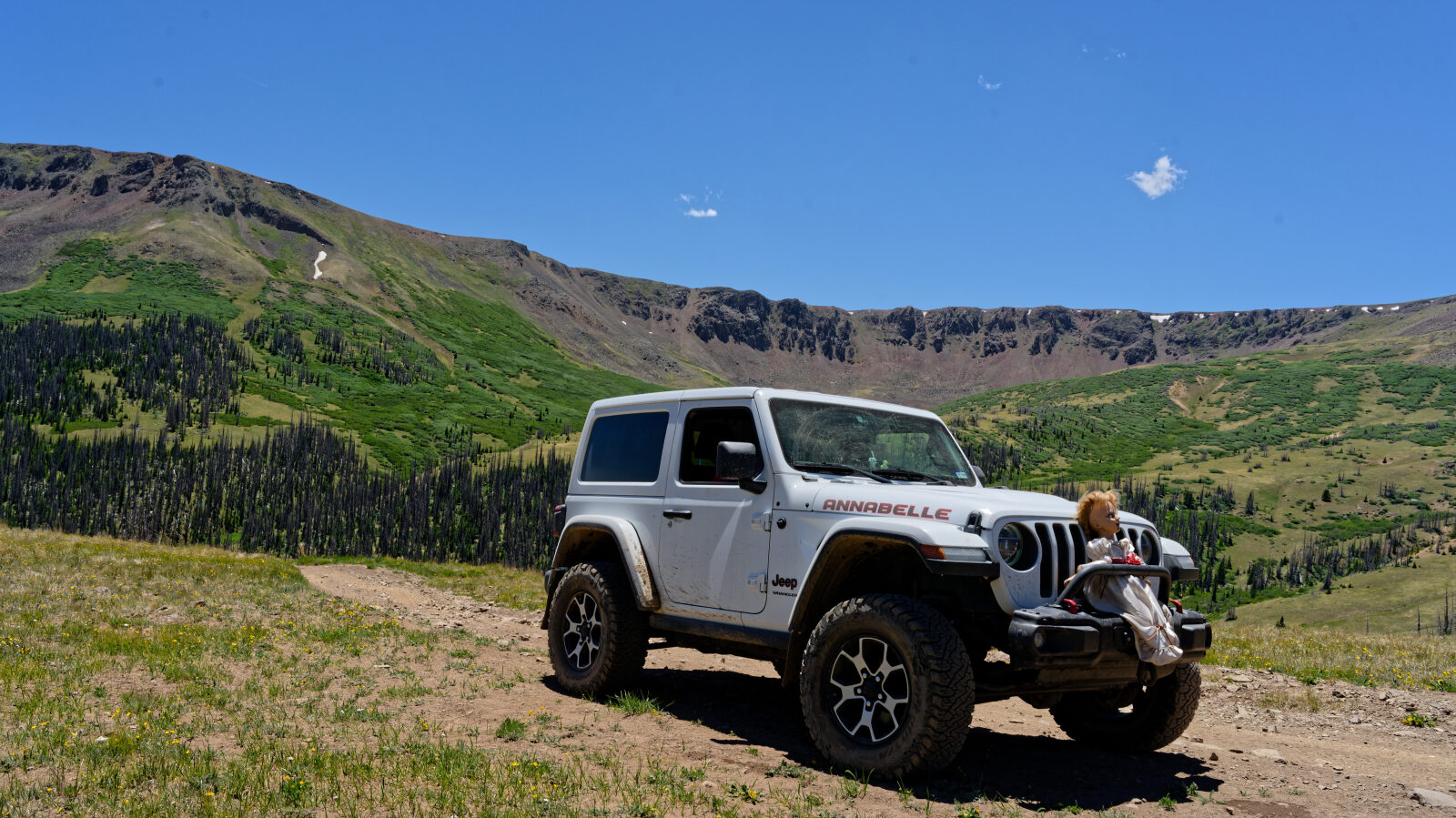
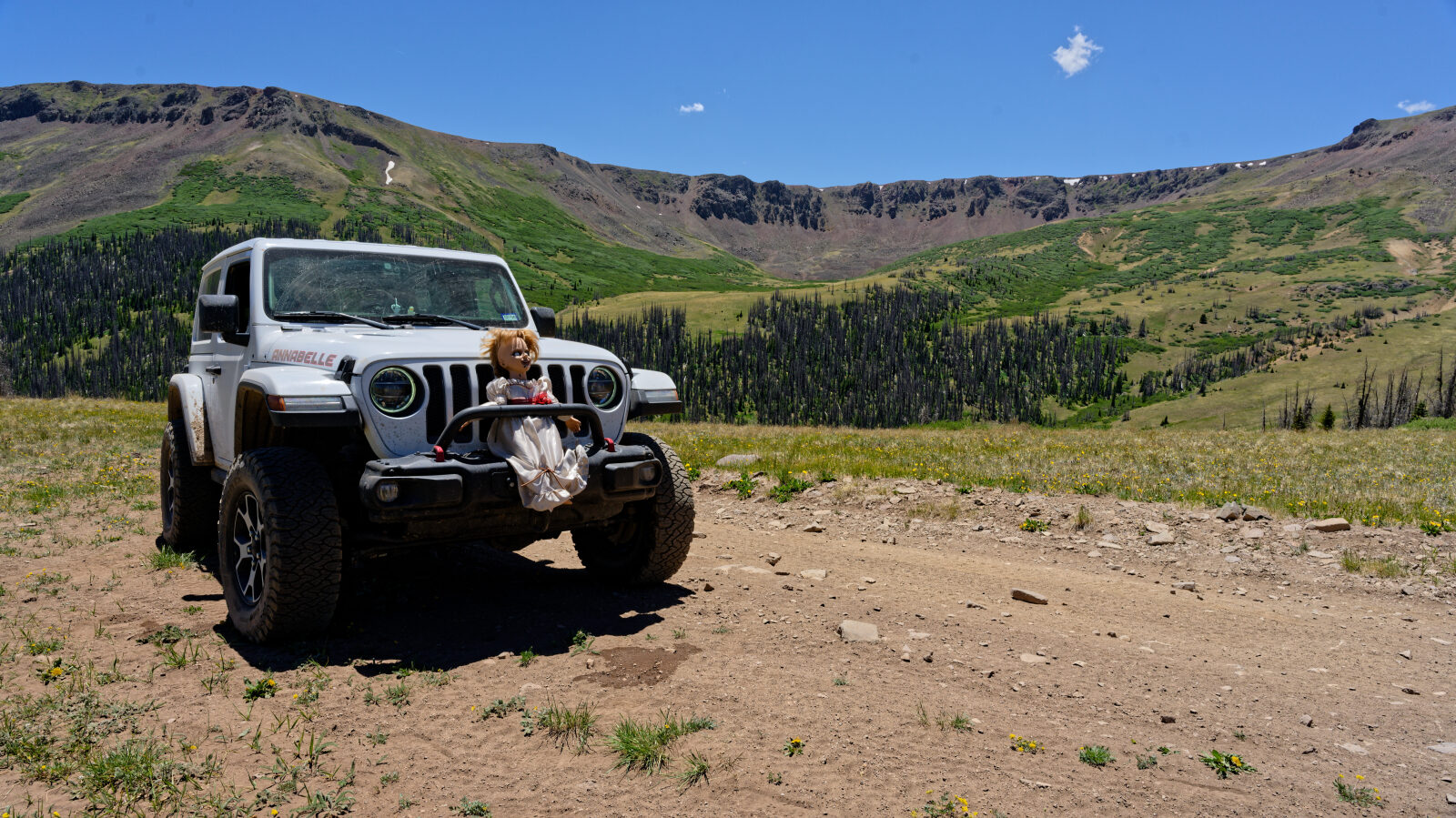
Rat Creek is a backcountry route in the Rio Grande National Forest near Creede, Colorado. It climbs from the valley area into high country above timberline, passing through conifer and aspen forest on the way.
The route suits drivers who want a half-day outing in the San Juan Mountains without technical driving. The trail is numbered 25 and is listed on Gaia.
Trail Summary
- LocationCreede, Colorado
- Distance13.4 miles
- DifficultyLevel 2, with an optional Level 3
- Elevation10,266 ft to 12,533 ft with a 2,267 ft change
- Travel Time2 hours 6 minutes
Difficulty
Typically suitable for high clearance 2WD
This is an Easy, Level 2 route. A high clearance 2WD vehicle on stock equipment is typically enough, though tire traction and ground clearance may be tested. Expect dirt and rocky surface with rocks, dips or ruts under 9 inches, and possibly shallow water crossings or small ledges under 12 inches. The road is usually one to two vehicles wide and is typically not maintained after rain or snow. The driver's log does not call out any specific obstacle. Drivers who want more challenge can take the optional harder line at Level 3 (Moderate). That line suits a high clearance 4x4 with off-road tires and has more rock, uneven surface, ledges, drops or climbs under 12 inches, and may need careful tire placement. The driver can take that line or stay on the easier one.
Terrain
The route runs through high-elevation San Juan Mountain country, with a creek drainage, forest and open high slopes. Surfaces are expected to be dirt and rock, and they can be muddy or loose after rain or snowmelt. The elevation range means conditions can change from the lower forest to the exposed upper sections.
Trail GPS File
Map
The interactive map needs JavaScript. Every waypoint is also listed below.
Waypoints