Bell Rock - Level 2 (optional 4)
Bell Rock is a backcountry route in Sevier County, central Utah. It starts on a Forest Service road and later crosses onto BLM land, where the road number changes. The route climbs and drops through broken country on rocky gravel, with a few short technical spots along the way.
Most of the drive is steady, with a few places to slow down and pick a line. Later sections get narrower. The route is a good half-day outing for a high clearance vehicle.
Trail Summary
- LocationSevier County, Utah
- Distance7.7 miles
- DifficultyLevel 2, with an optional Level 4
- Elevation5,769 ft to 7,798 ft with a 2,029 ft change
- Travel Time1 hour 11 minutes
Difficulty
Typically suitable for high clearance 2WD
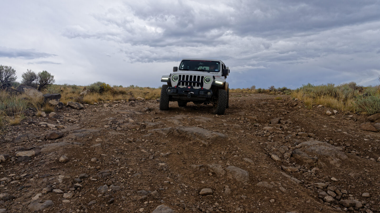
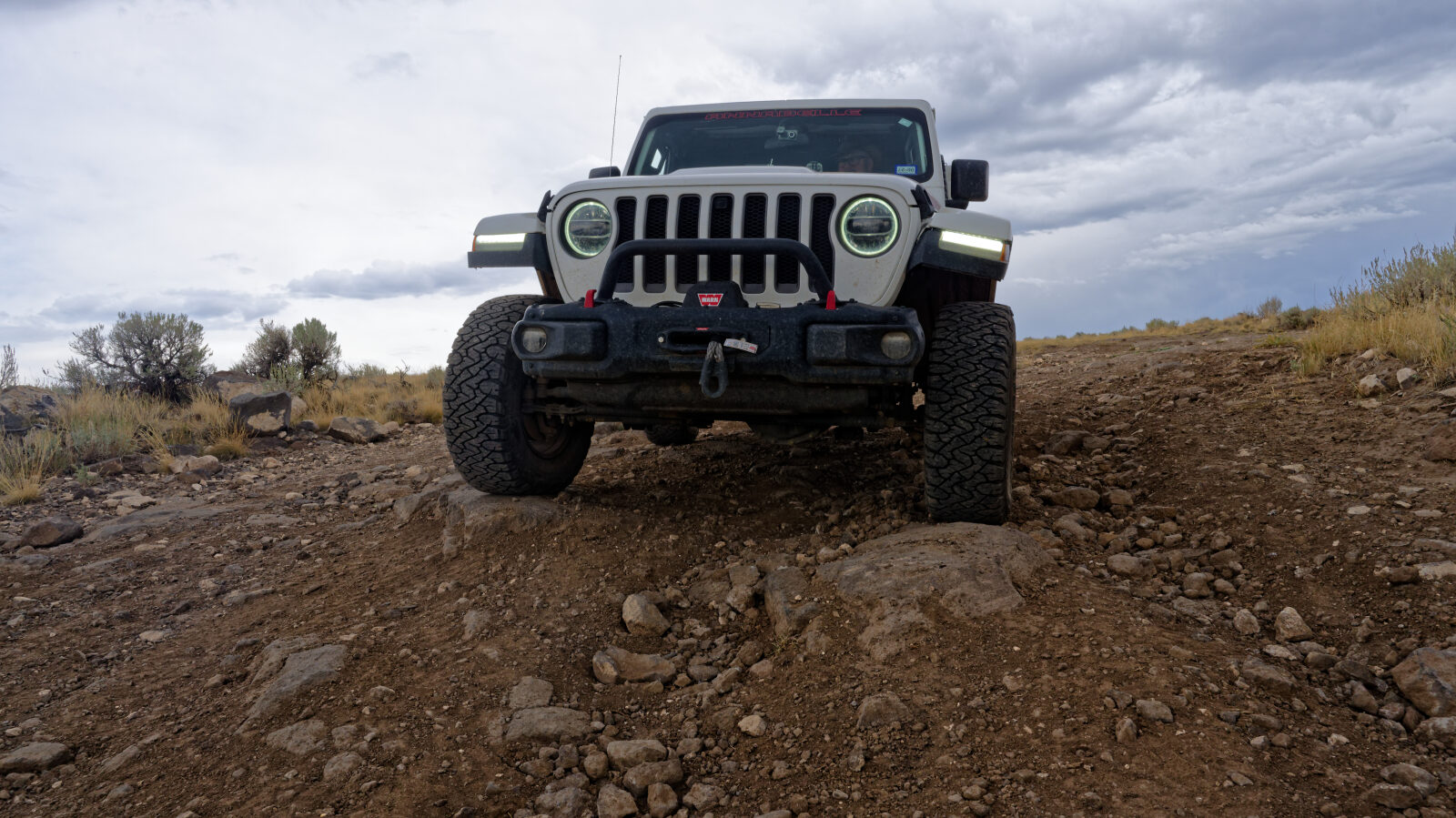
The trail is rated Level 2, Easy, which suits a high clearance 2WD vehicle with stock equipment. Expect dirt and rocky surface, small ledges, dips and ruts, and a road that is typically unmaintained after rain or snow. Ground clearance and tire traction are the main tests. The driver's log notes a few hard spots with rock ledges that are not very tall. One rock step is about 8 to 10 inches high, with another nearby at about 5 to 6 inches. There is also a narrow shelf section with no real room to pass, though it is a little wider than the driver's vehicle. A Level 4 line is optional. It is Moderate and calls for low-range gearing, careful tire placement and some risk of undercarriage damage. Drivers can take the harder line or stay on the easier one.
Terrain
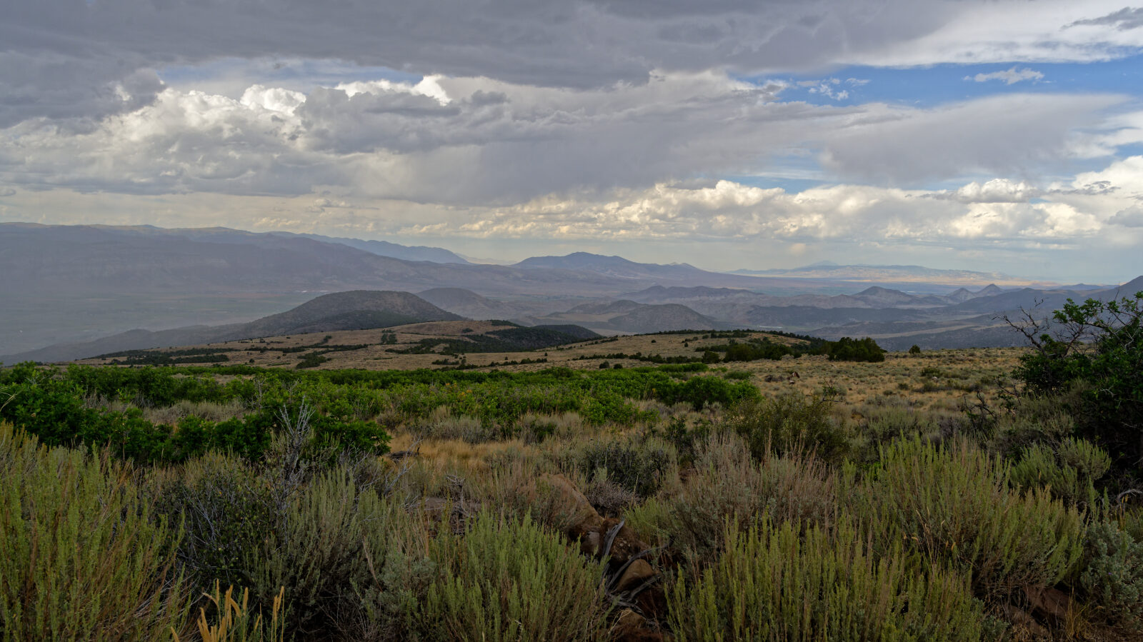
The surface is mostly rocky gravel over dirt, with short rock ledges at a few spots. One stretch runs along a narrow shelf road that is only slightly wider than a full-size vehicle. Toward the end the road narrows further and winds through many small switchbacks.
Highlights
The route begins on Road 42410, which changes to a different road number where it reaches BLM land. At the start it is also signed as PST 40. The driver describes the last half mile to a mile of small, tame switchbacks as fun to drive.
Map
The interactive map needs JavaScript. Every waypoint is also listed below.
Waypoints
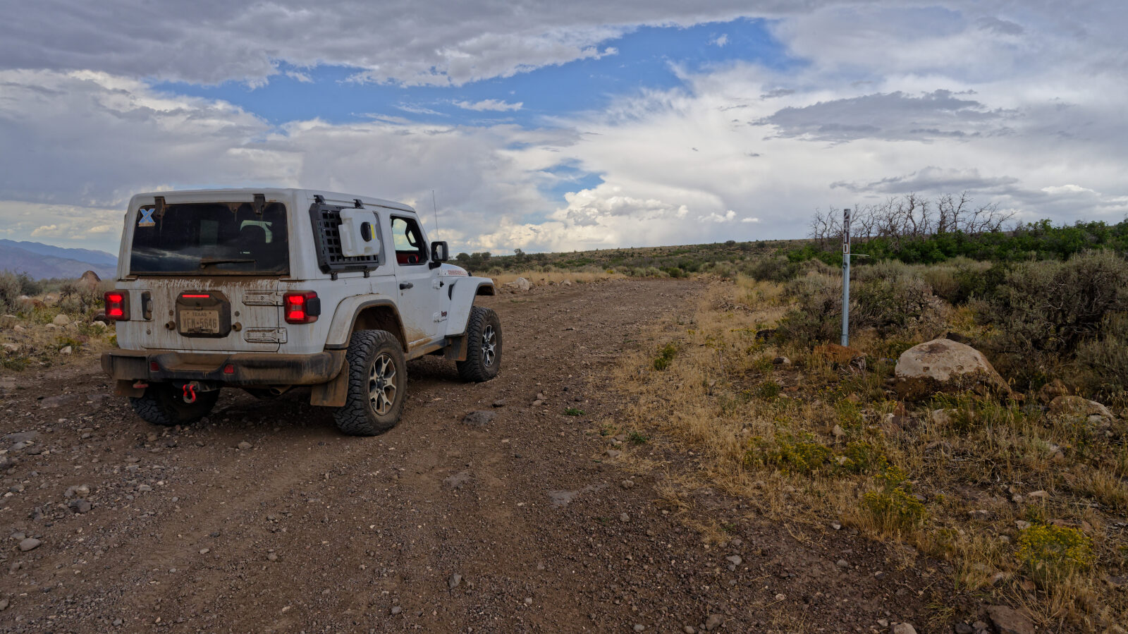
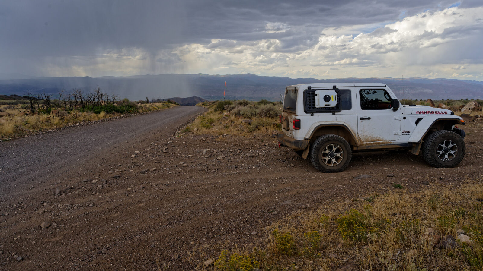
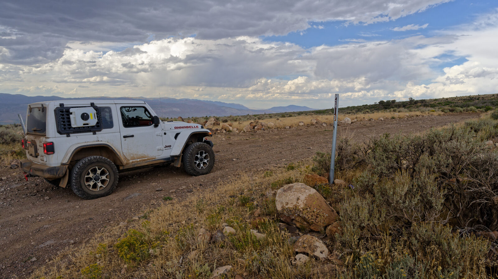
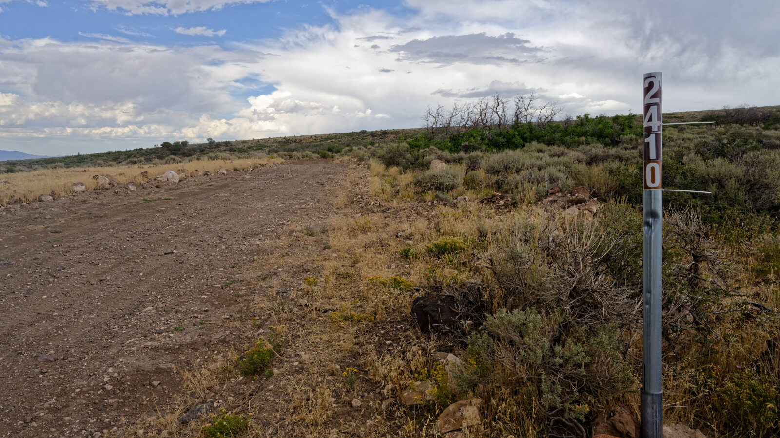
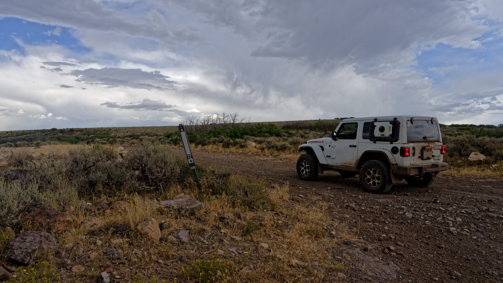
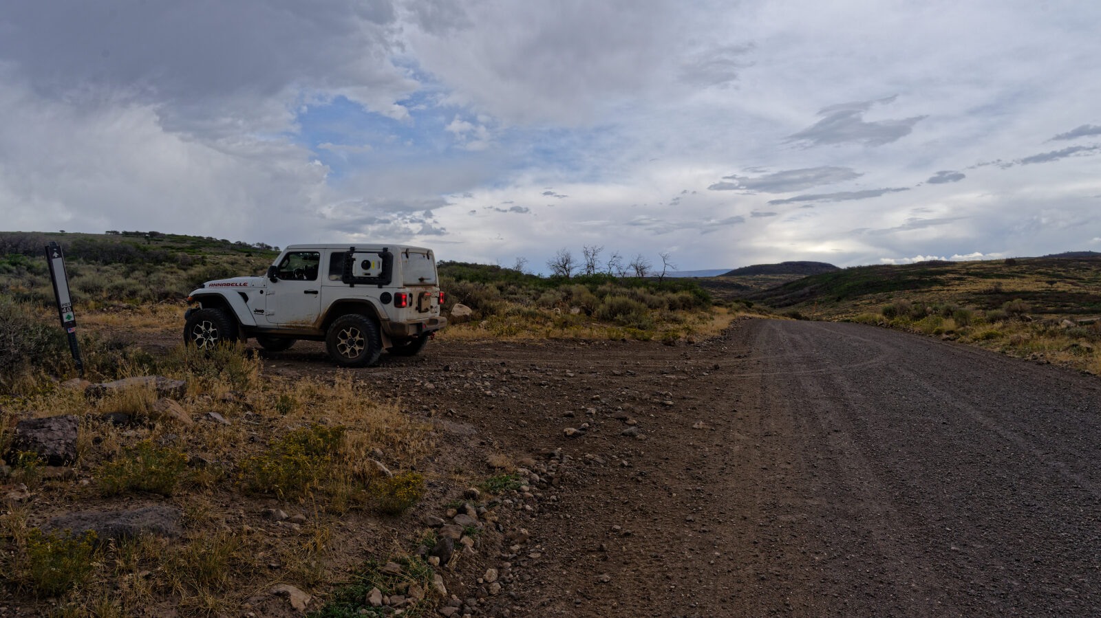
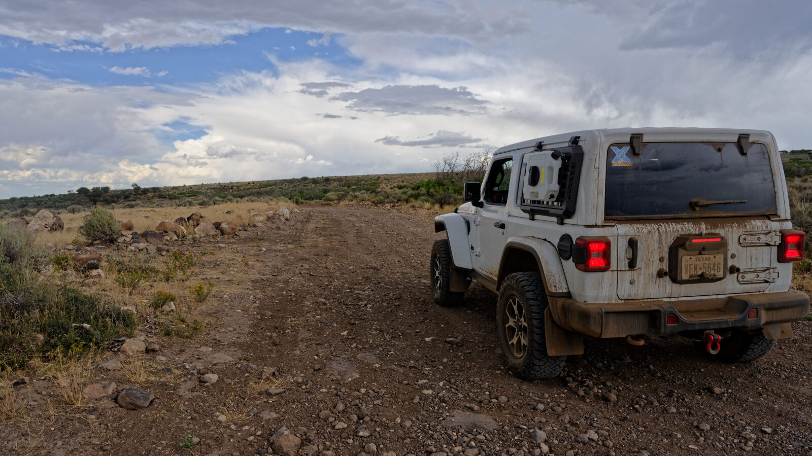
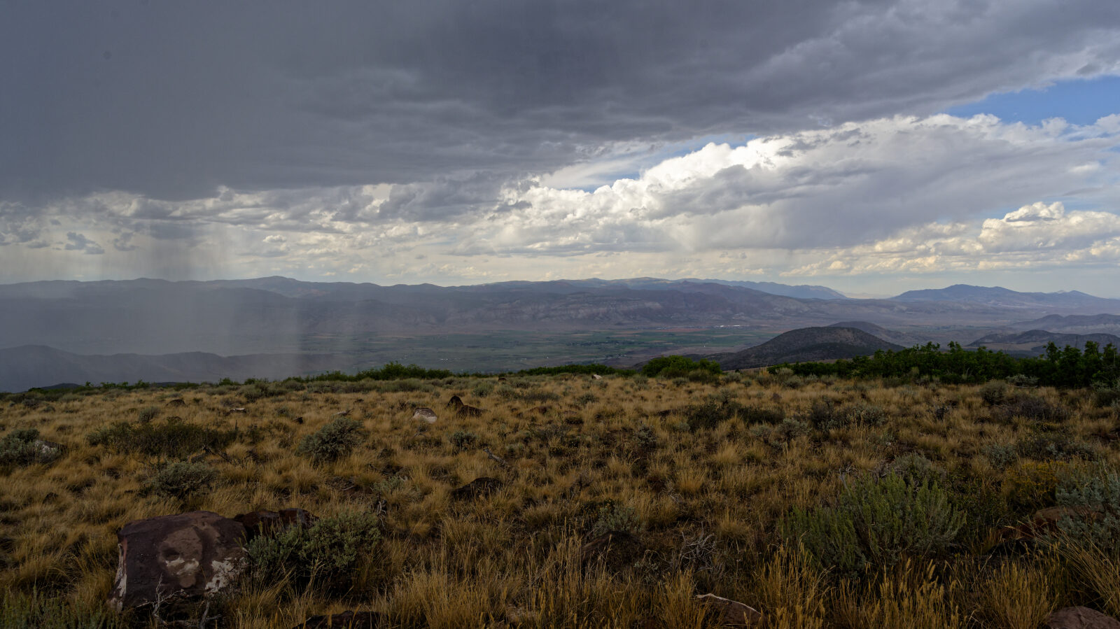
Waypoint 1 (38.71043, -111.94230)
This is Road 42410, which changes to a different road number once the route reaches BLM land. It is also PST 40.
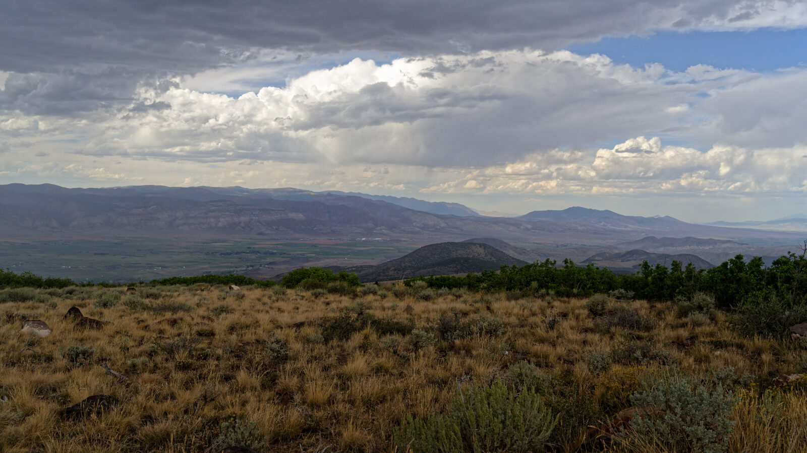
Waypoint 2 (38.71342, -111.93733)
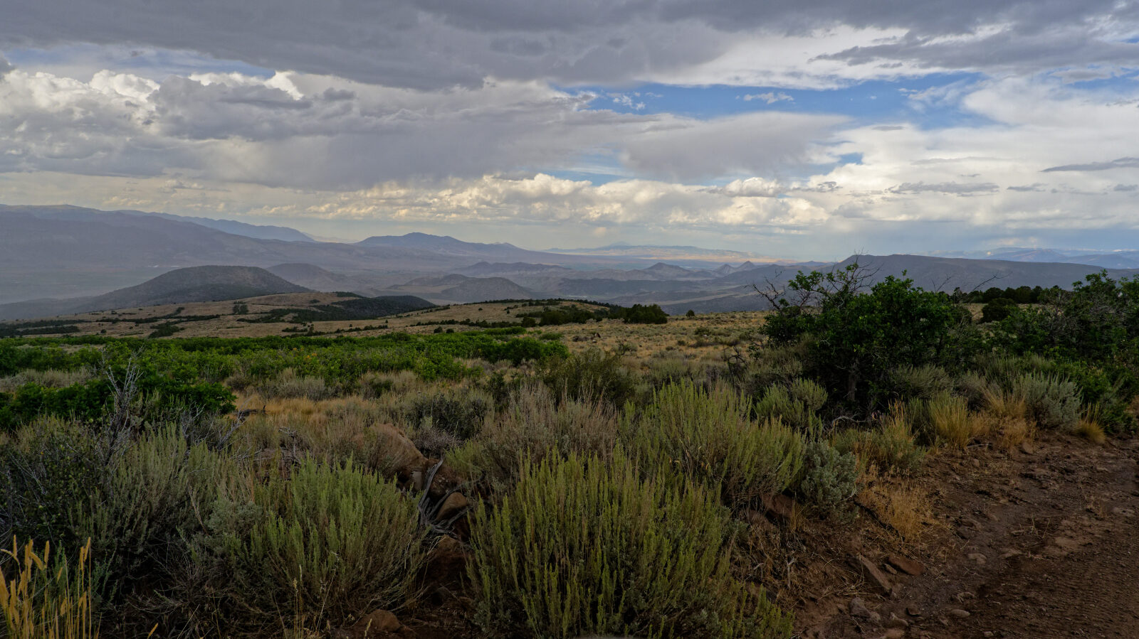
Waypoint 3 (38.72018, -111.93288)
A hard spot with rock ledges that are not very tall. The driver's note puts it at about a level two.
Waypoint 4 (38.72613, -111.93320)
The surface here is rocky gravel.
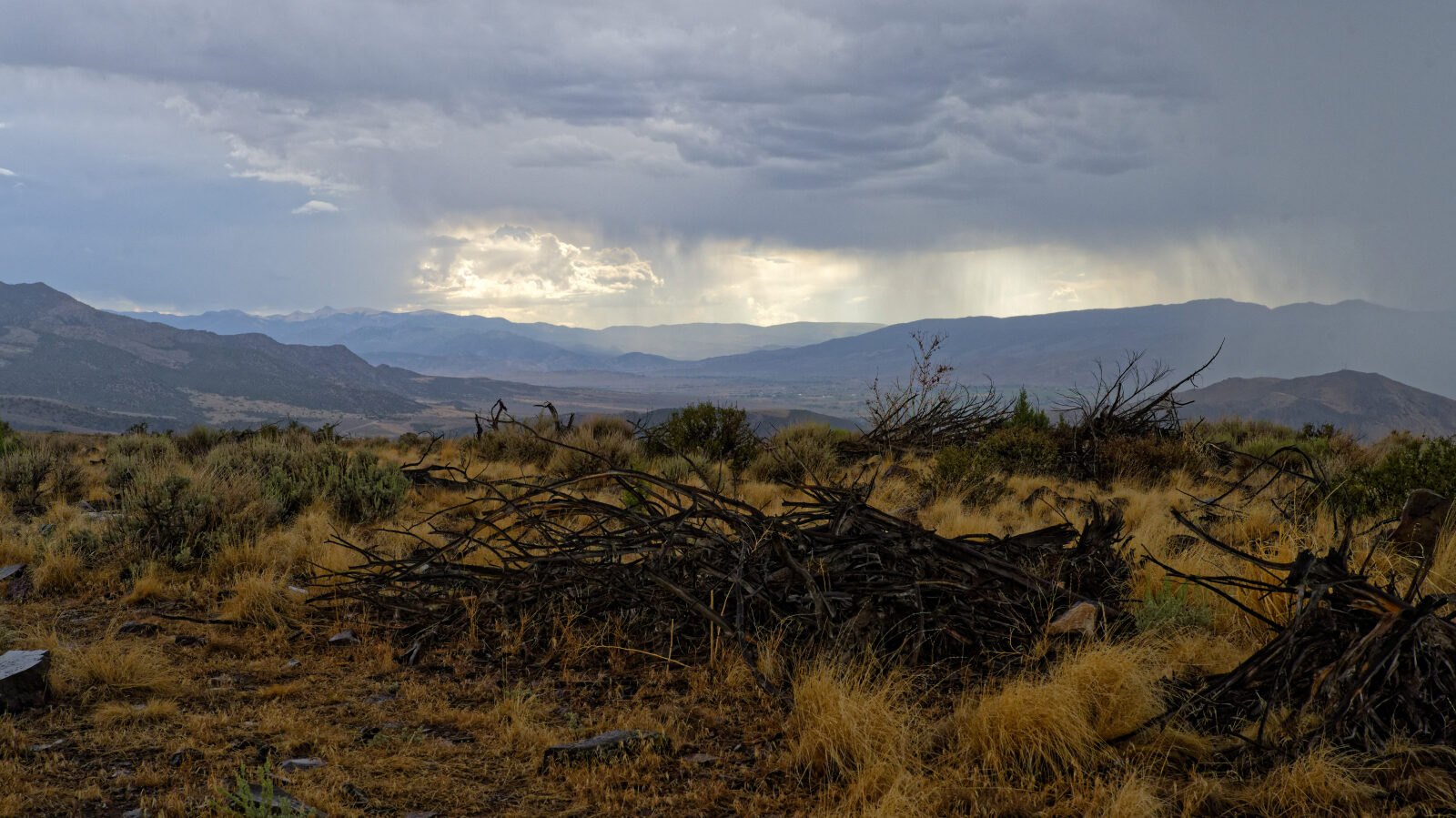
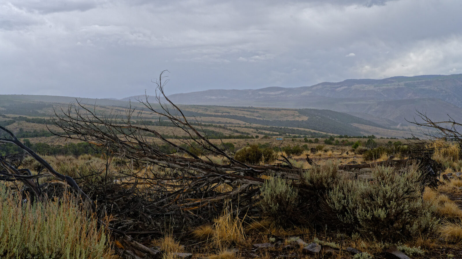
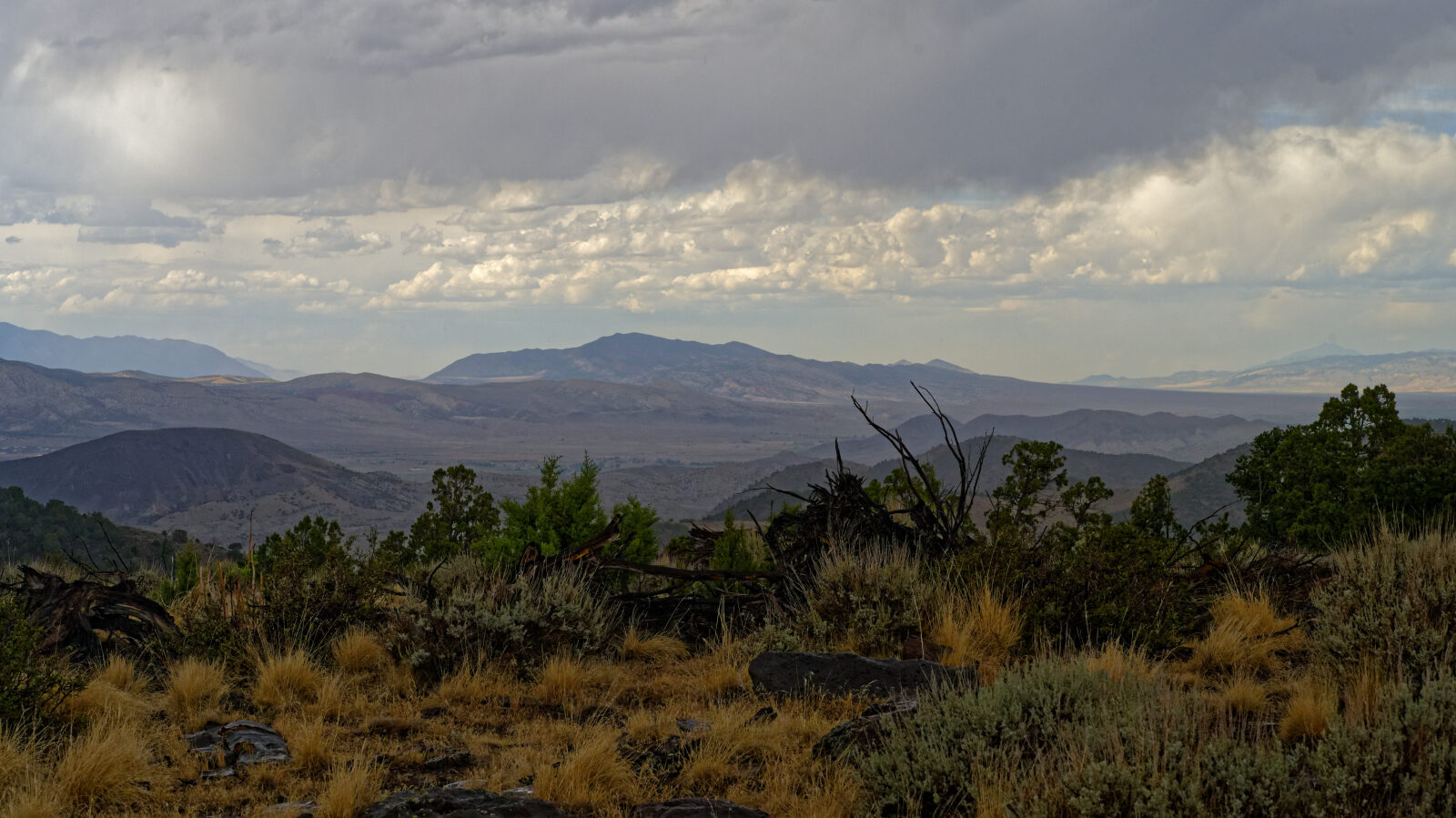
Waypoint 5 (38.74637, -111.94212)
Waypoint 6 (38.74877, -111.95227)
A narrow-ish shelf road with no real room to pass. It is a little wider than the vehicle.
Waypoint 7 (38.73931, -111.96189)
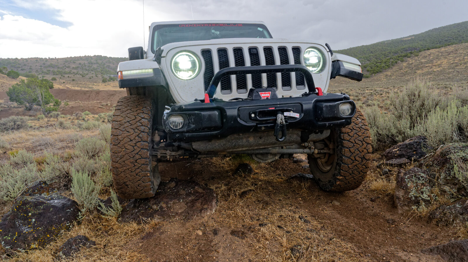
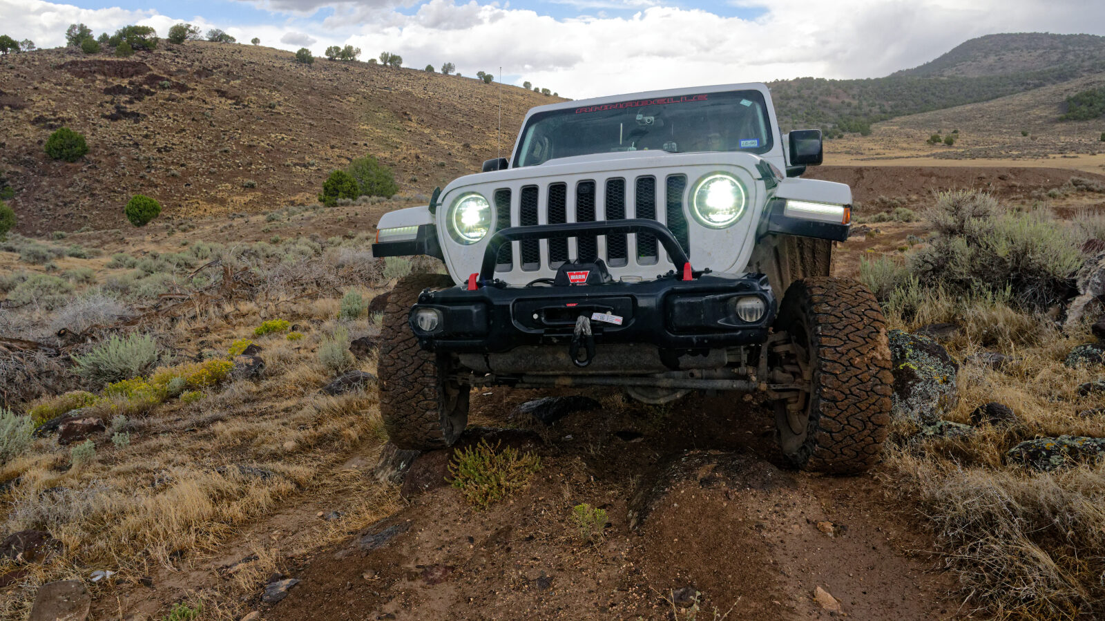
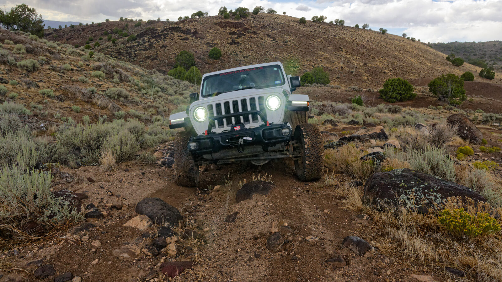
A hard spot with a rock step about 8 to 10 inches high. A second step nearby is about 5 to 6 inches.
Waypoint 8 (38.73162, -111.97051)
For the next half mile to a mile the road is narrower, with many small switchbacks that are not bad.