East Loop Red Hill South Trail Road - Level 4
East Loop Red Hill South Trail Road is a short backcountry route in Iron County, southwestern Utah, on the high desert side of the Markagunt Plateau region. It begins on open ground and runs northeast through a wash before reaching its end point.
The route is quick to drive and suits a short outing or a side trip while exploring the area. A return route is available, so it can be run as part of a loop.
Trail Summary
- LocationIron County, Utah
- Distance1.2 miles
- DifficultyLevel 4
- Elevation5,780 ft to 5,980 ft with a 200 ft change
- Travel Time22 minutes
Difficulty
Typically challenges the limits of a high clearance 4x4
This trail is rated Level 4, Moderate. It can challenge the limits of a high clearance 4x4. Low-range gearing is needed, and undercarriage damage is possible. Expect rocky or undulating surface, obstacles under 18 inches such as ledges, drops and short climbs, and places that need careful tire placement. The road is typically one vehicle wide with places to pass. The log notes a short wash section that is an easier spot within the trail, closer to Level 3, but the trail as a whole is kept at Level 4.
Terrain
The log describes a short wash section near the start. Washes in this area typically have loose gravel, sand and rock, and the surface can change after rain. Beyond the wash the route follows a narrow track over uneven ground.
Map
The interactive map needs JavaScript. Every waypoint is also listed below.
Waypoints
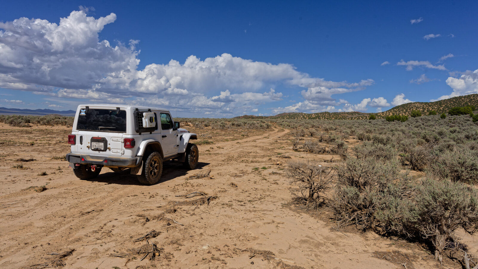
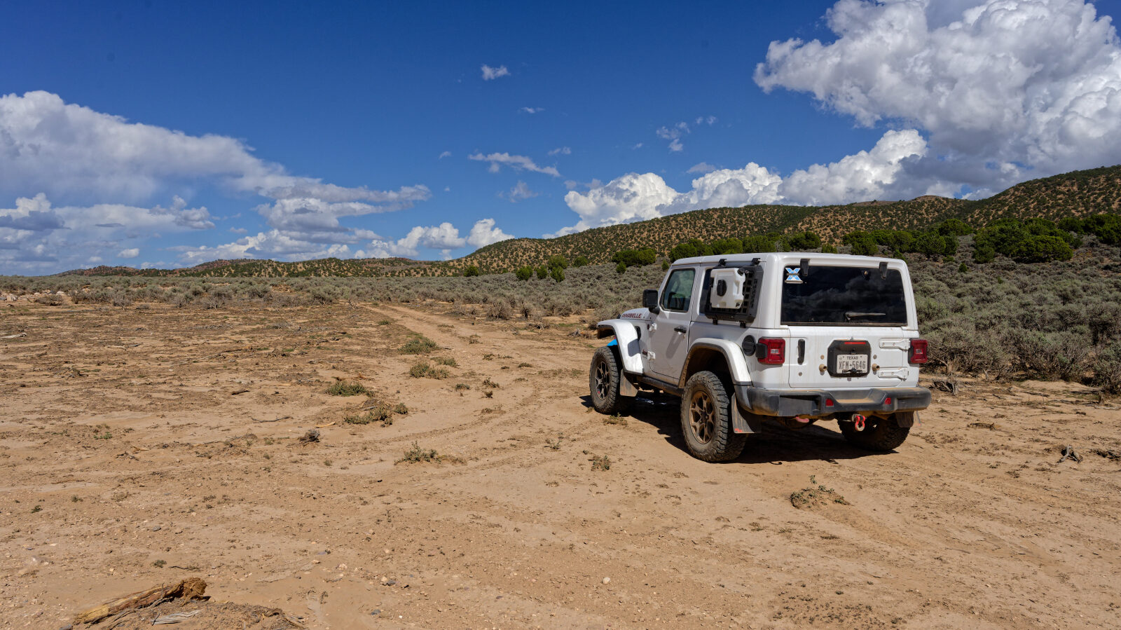
Waypoint 1 (37.86859, -112.98324)
Start of East Loop, Red Hills South Trail Road.
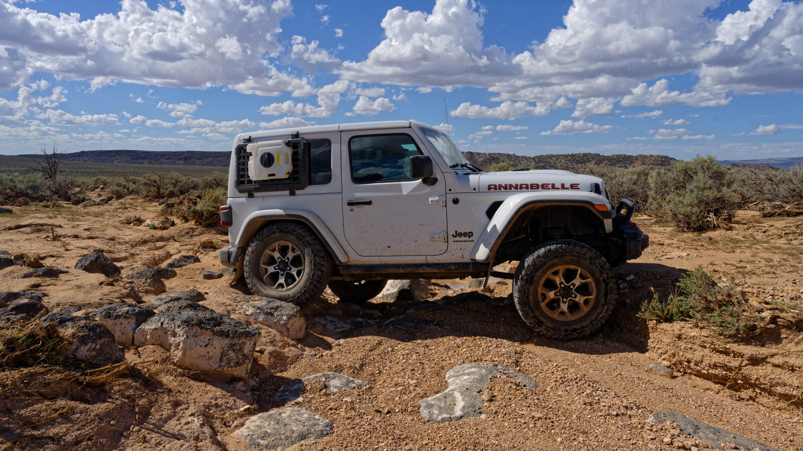
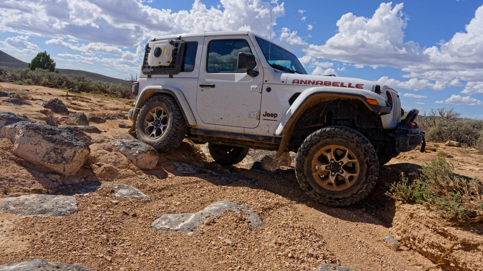
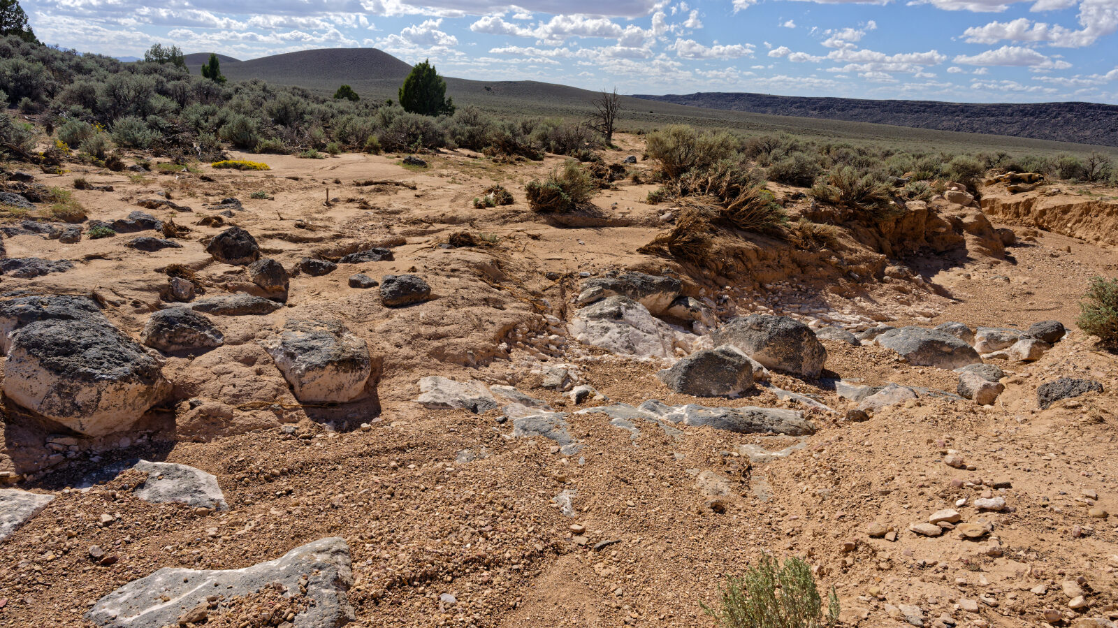
Waypoint 2 (37.86999, -112.98079)
A short wash section, rated Level 3. The trail overall is Level 4.
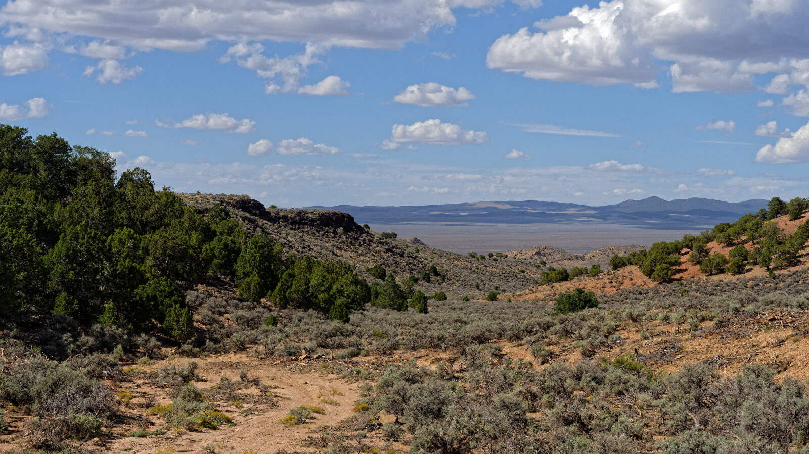
Waypoint 3 (37.87287, -112.97652)
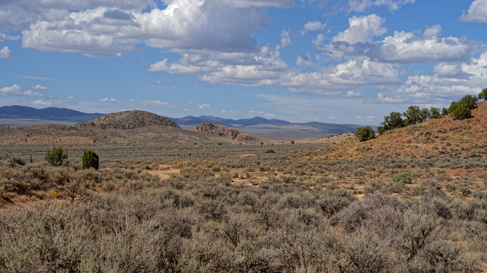
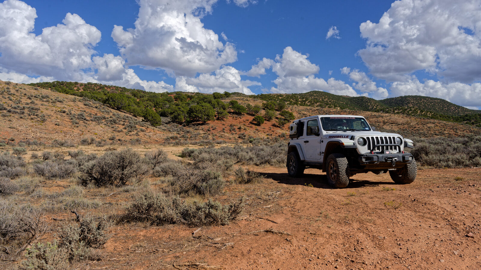
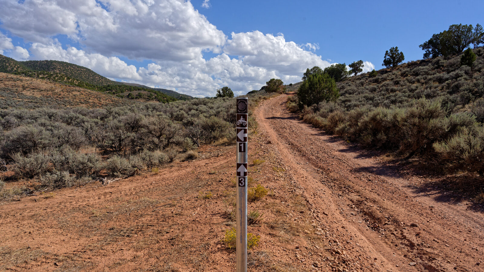
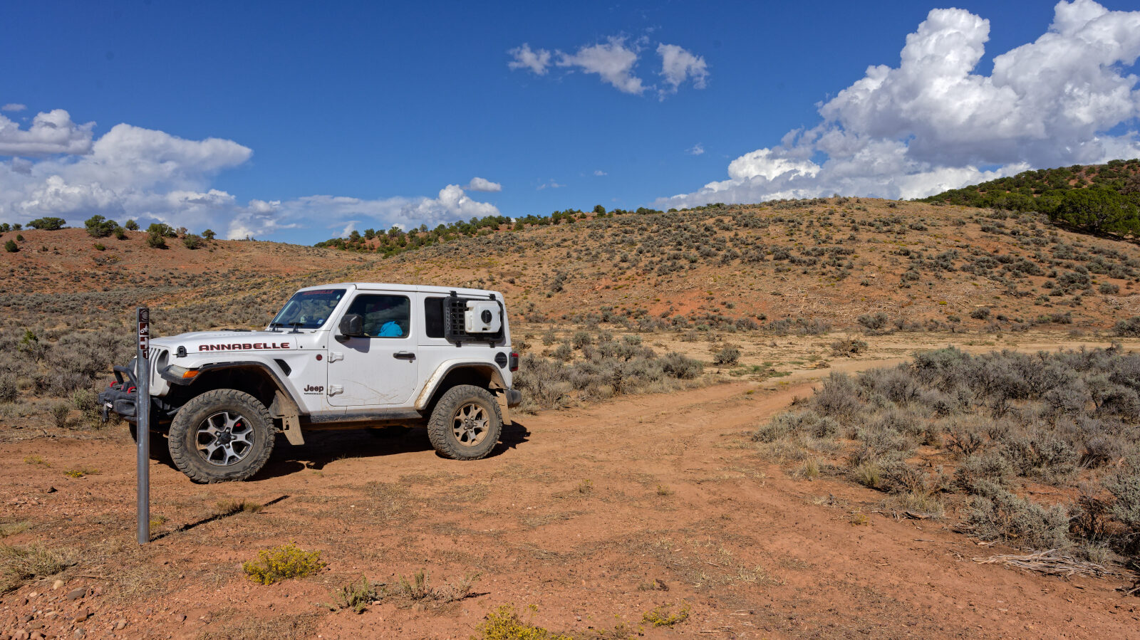
Waypoint 4 (37.88200, -112.98106)
End of the trail.