Lower Dry Hollow - Level 2
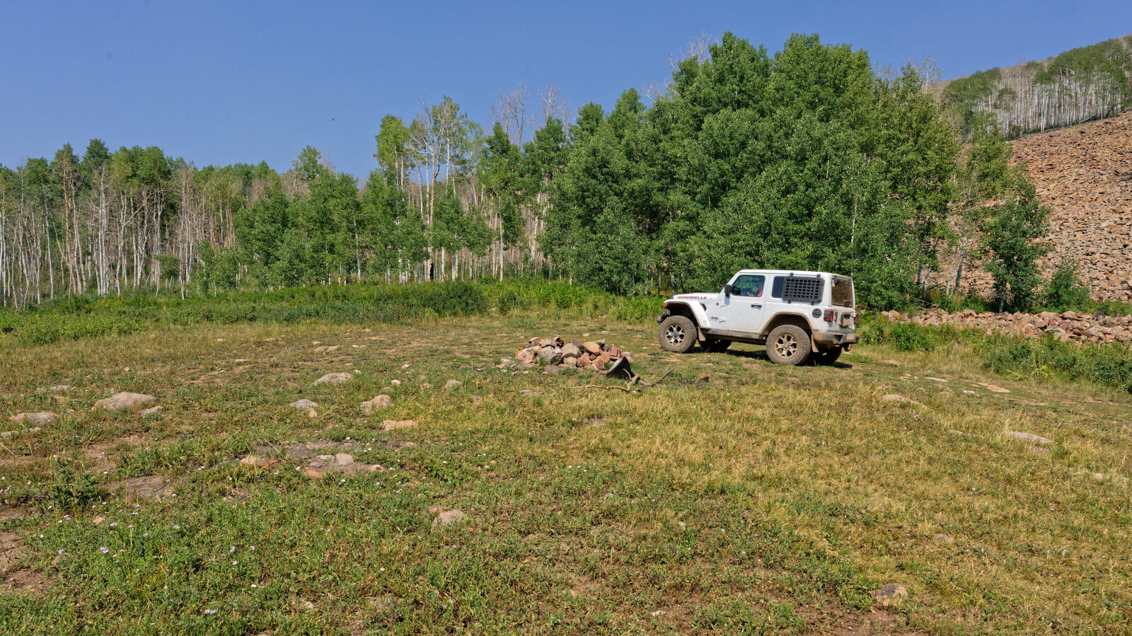
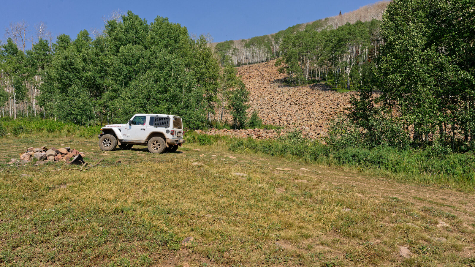
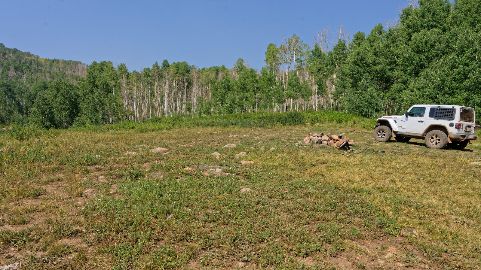
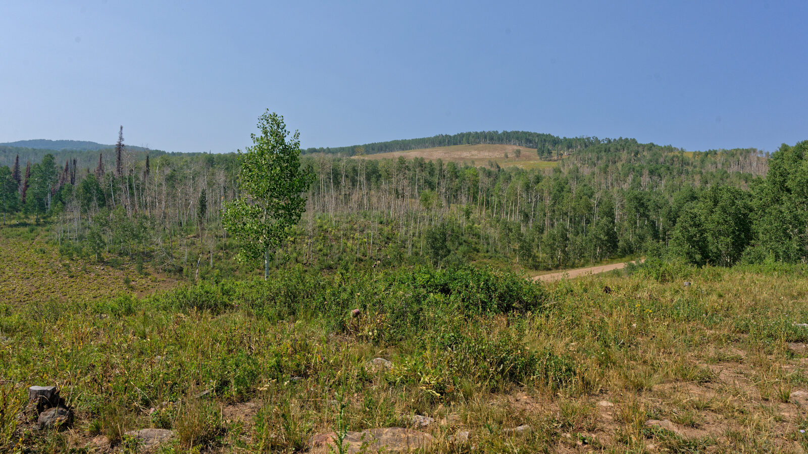
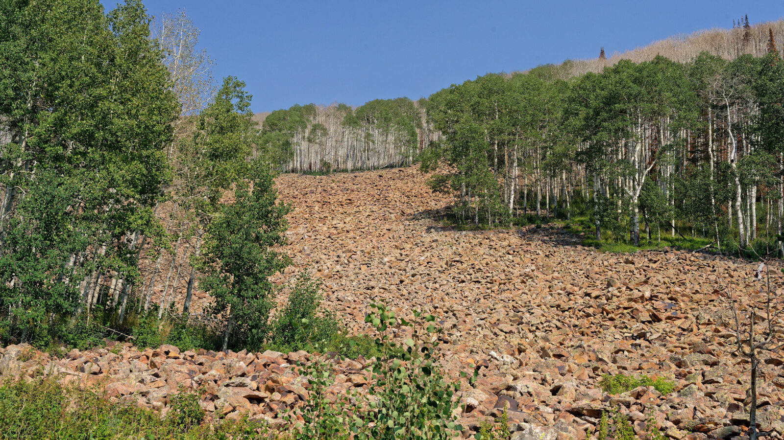
Lower Dry Hollow is a short spur in the high country of Wasatch County, Utah, within the Uinta-Wasatch-Cache National Forest. The terrain typical of the region's forested plateaus and drainages.
The route is brief and works as a quick side trip or a connector rather than a full outing. No driver log notes were provided, so details beyond the basics are limited.
Trail Summary
- LocationKamas, Utah
- Distance0.2 miles
- DifficultyLevel 2
- Elevation8,705 ft to 8,741 ft with a 36 ft change
- Travel Time5 minutes
Difficulty
Typically suitable for high clearance 2WD
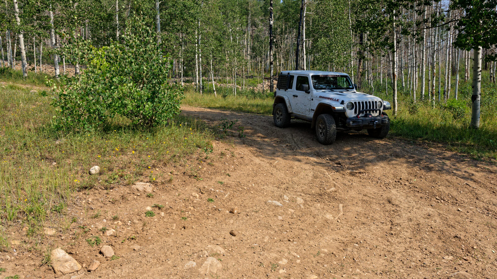
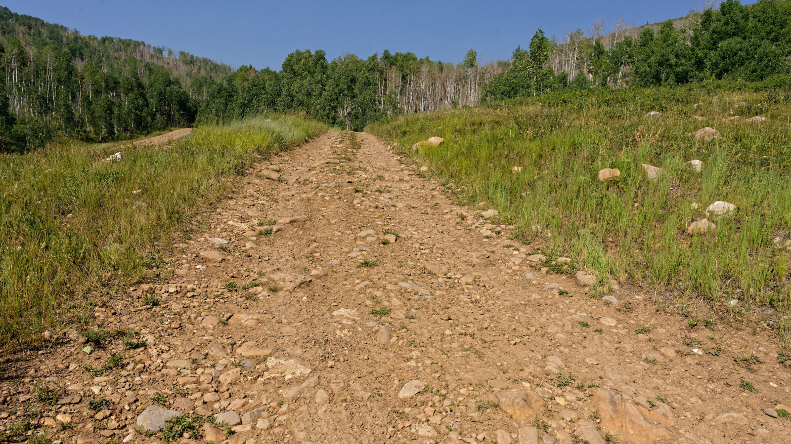
This trail is rated Easy (level 2), typically suitable for high clearance 2WD. Stock equipment is sufficient, though the surface may test tire traction and ground clearance. Expect dirt or rocky road with obstacles under about 9 inches, such as rocks, dips or ruts. Shallow water crossings and small ledges under 12 inches are possible. The road is typically one to two vehicles wide and usually unmaintained after rain or snow. The driver's log does not call out anything needing special attention.
Terrain
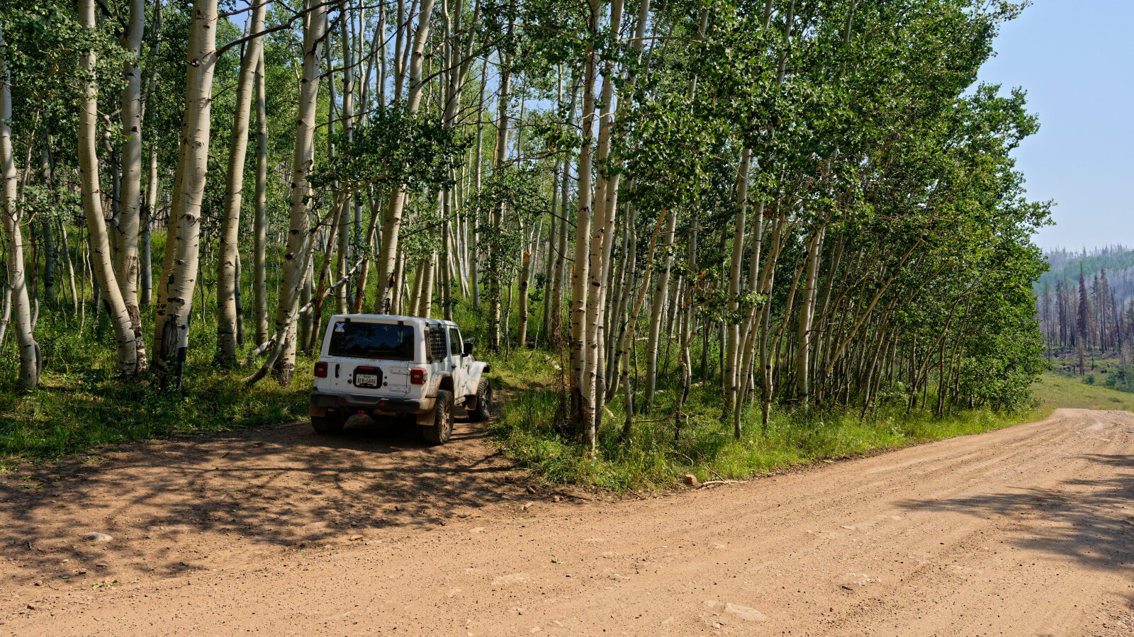
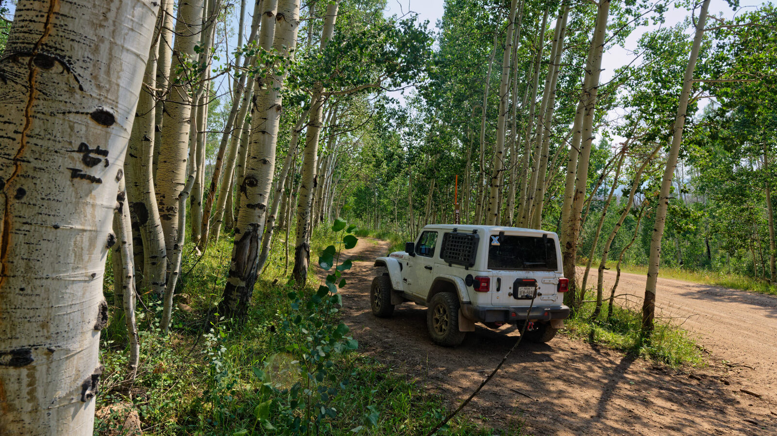
The surface is a mix of dirt and rock.
Map
The interactive map needs JavaScript. Every waypoint is also listed below.
Waypoints
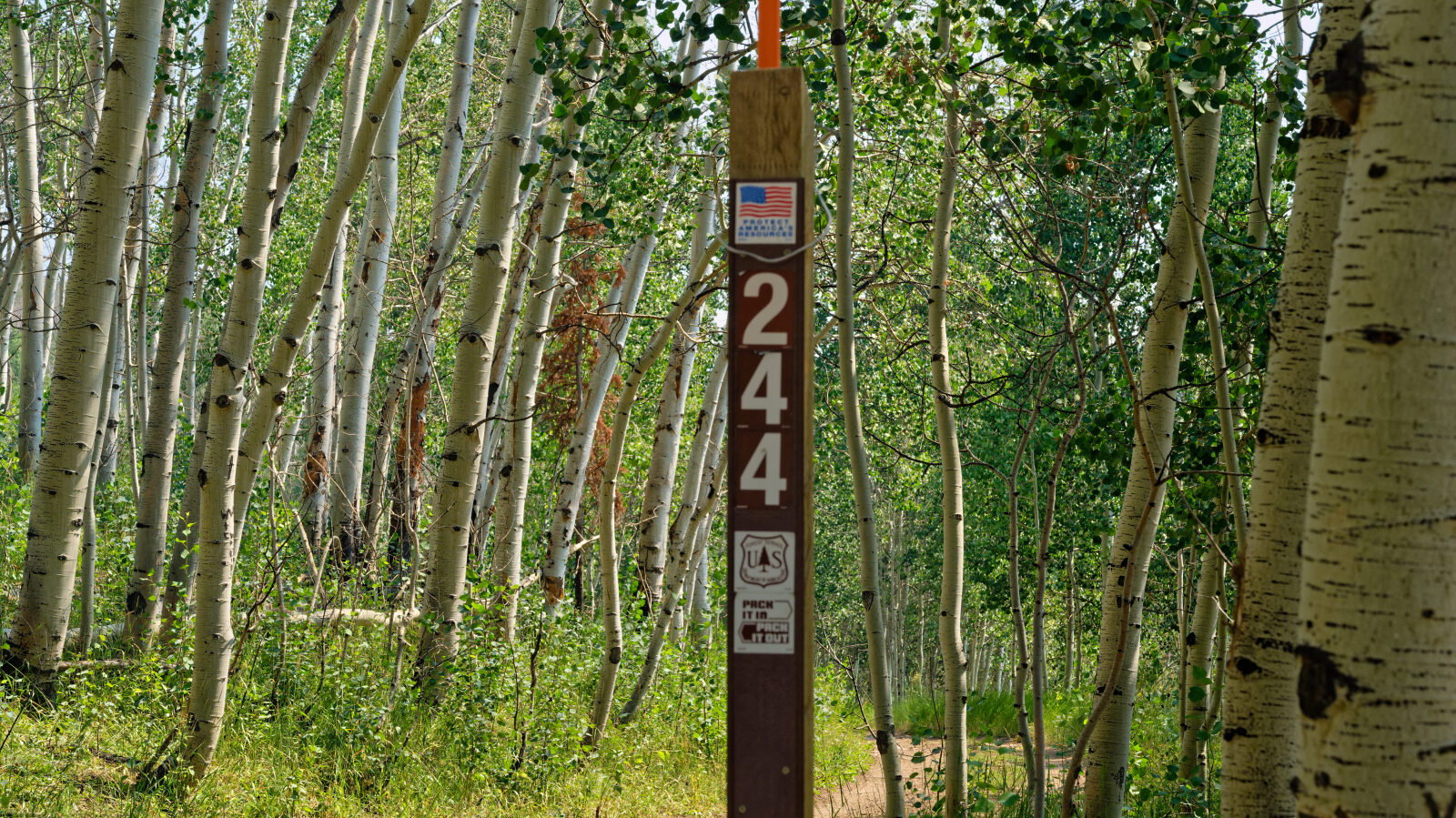
Waypoint 1 (40.52196, -111.03342)