Wild Horse Loop Tour - Level 1
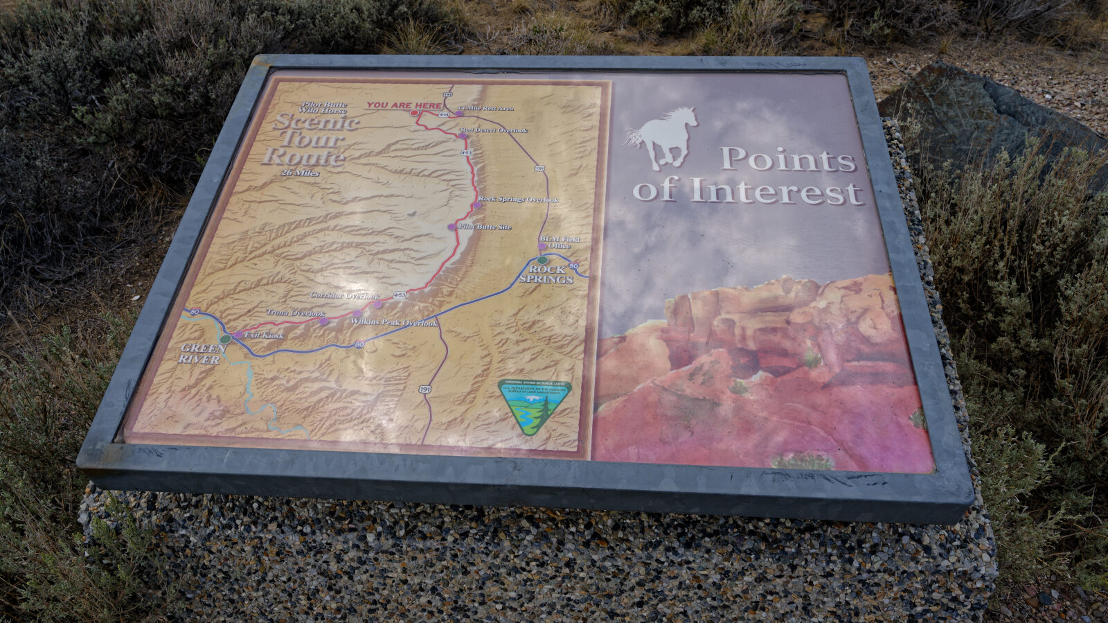
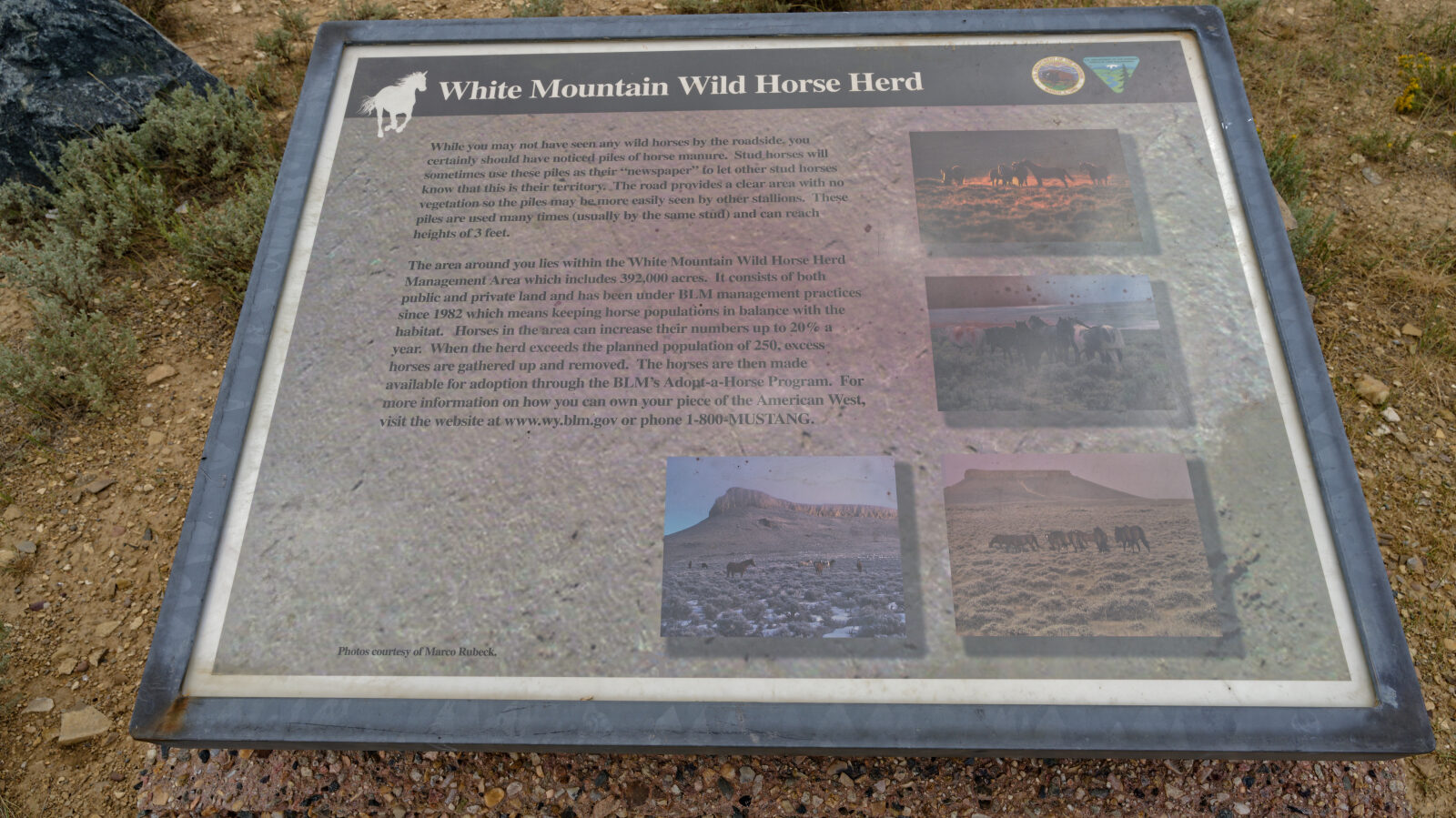
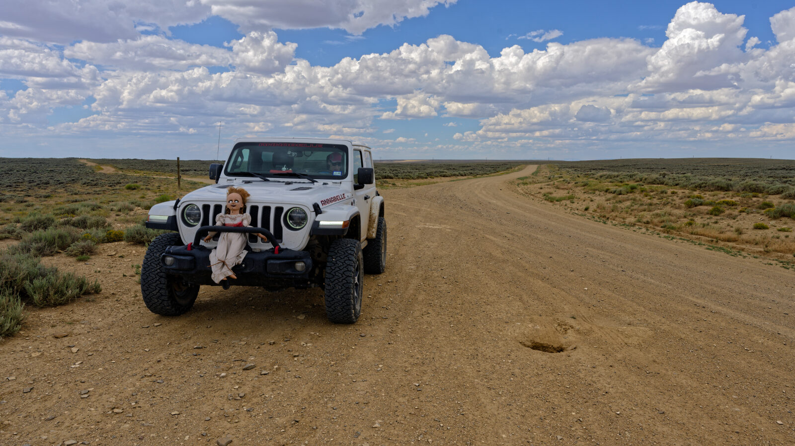
The Wild Horse Loop Tour is a self-guided drive across the top of White Mountain in southwest Wyoming. It runs between the Rock Springs and Green River areas on public land managed by the BLM Rock Springs Field Office. The route passes through the White Mountain wild horse range, where herds roam freely over open, mostly unfenced country.
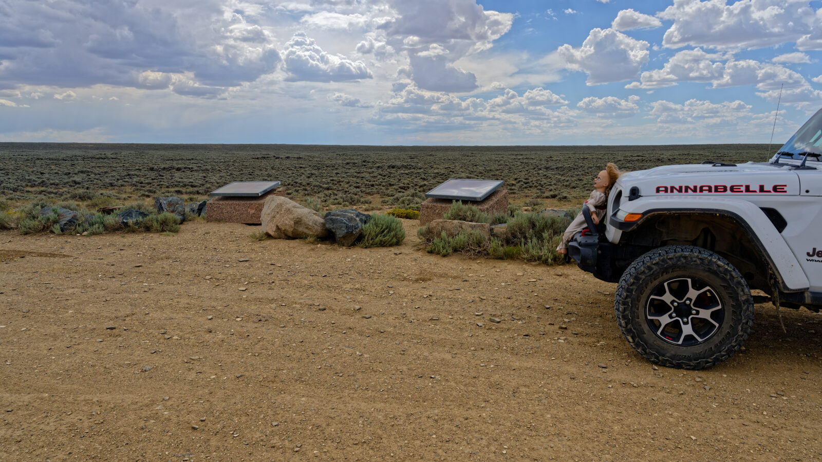
The road is a county gravel road with pullouts and interpretive overlooks along the way. It can be driven in either direction and is a good half-day outing for wildlife and scenery. Sightings are not guaranteed, and early morning and late afternoon are the usual best times to look for horses.
Trail Summary
- LocationSweetwater County, Wyoming
- Distance22.9 miles
- DifficultyLevel 1
- Elevation6,264 ft to 7,556 ft with a 1,292 ft change
- Travel Time57 minutes
Difficulty
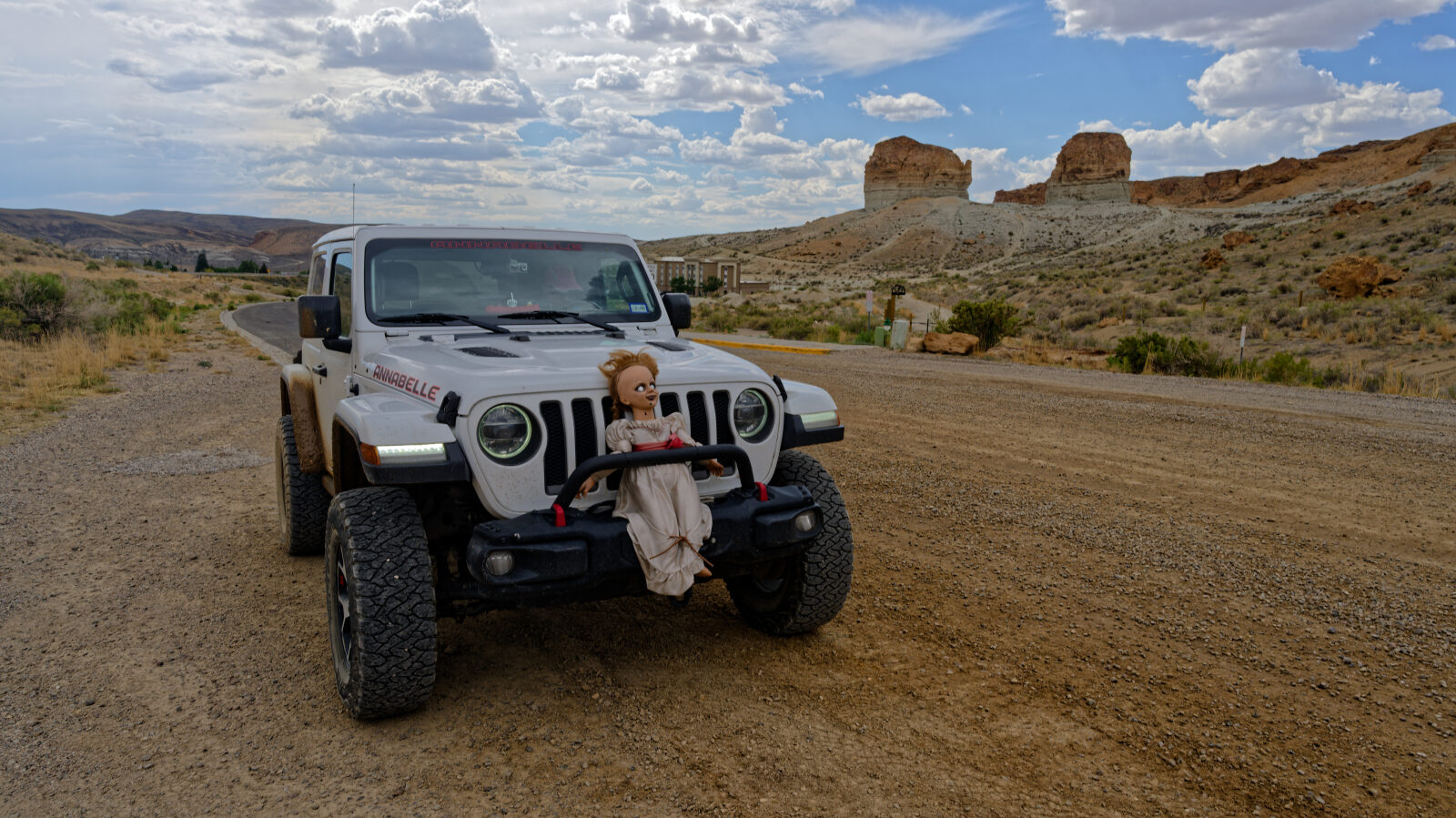
Suitable for high clearance 2WD
This is a Level 1 (Easy) route, suitable for high clearance 2WD vehicles. Stock equipment is enough and no special gear is needed. Expect dirt and gravel with the occasional rocky stretch. Any rocks, dips or ruts are smaller than 5 inches, grades are slight with good traction, and the road is generally wide enough for two vehicles. The log for this trail has no entries calling out an obstacle or a section needing special attention.
Terrain
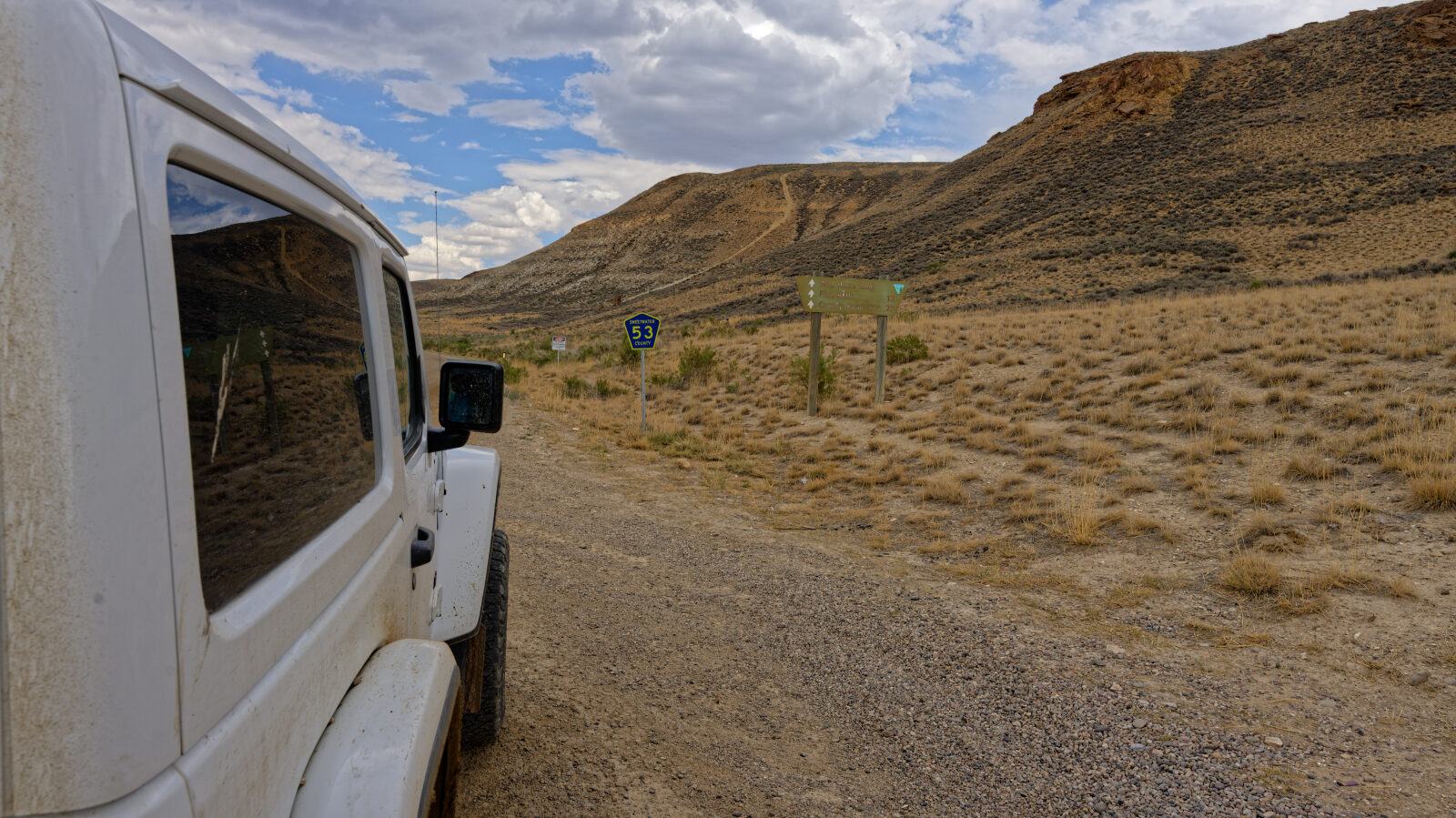
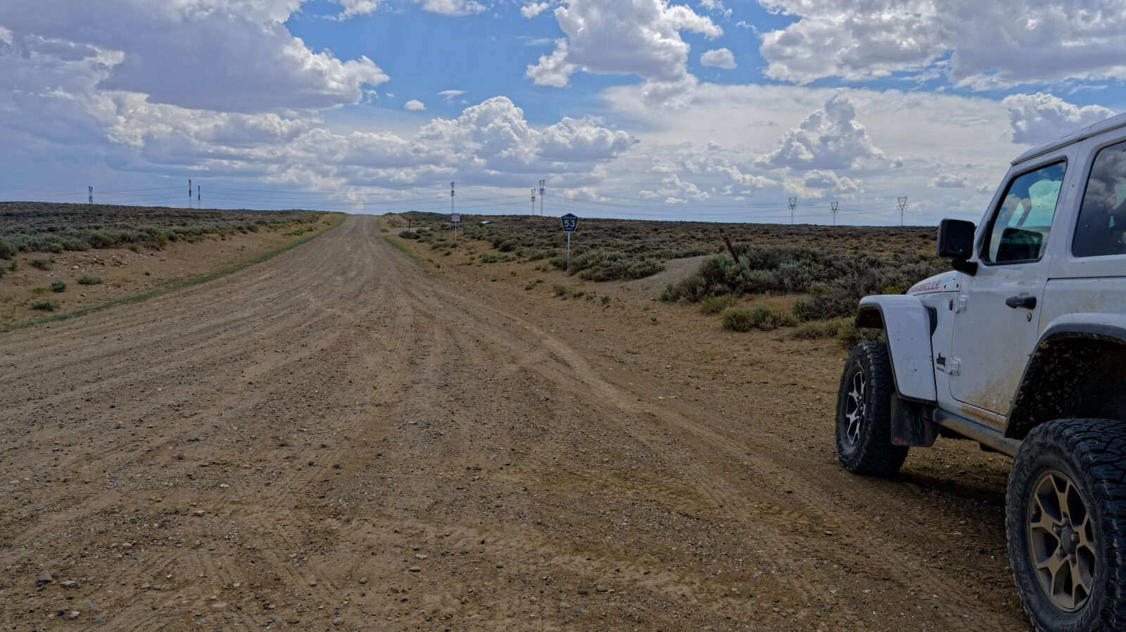
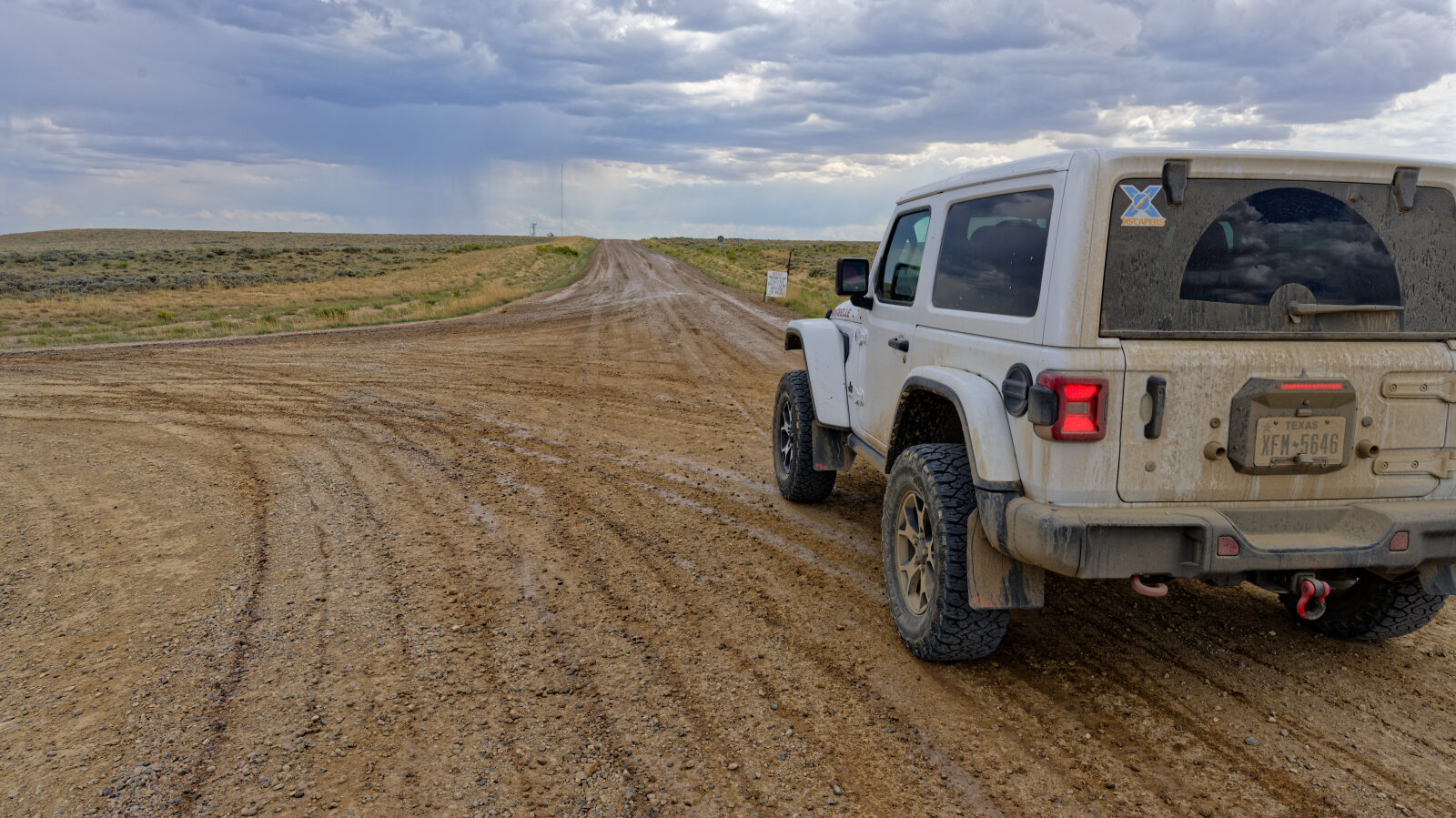
The route follows a graded gravel county road that climbs onto the White Mountain plateau and crosses open sagebrush country with broad views. Surface quality varies from smooth and even to washboarded and rocky, depending on the season and the last grading. The road crosses a checkerboard of BLM and private land, with few fences or structures. Side roads off the main route are rougher two-tracks, and some cross deep washouts. Grading is typically done only from about May to October, and the road can become slick or impassable when wet or snowy.
History
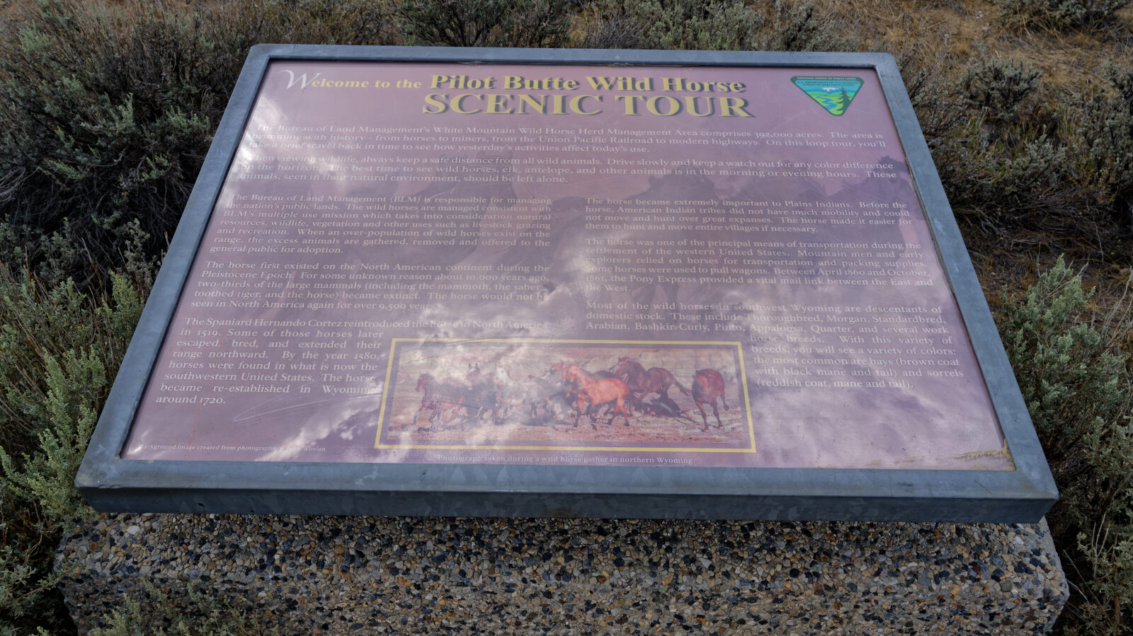
The loop was set up as a BLM wild horse viewing tour. The horses seen along it are generally described as descendants of horses reintroduced to the area by cattle ranchers in the 1800s. The Rock Springs district is the headquarters of the BLM wild horse program in Wyoming.
Highlights
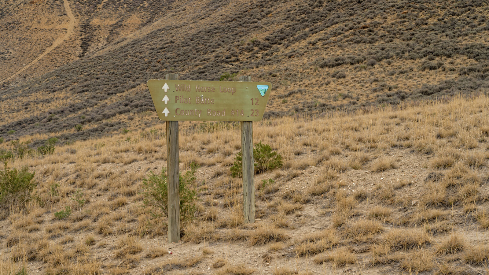
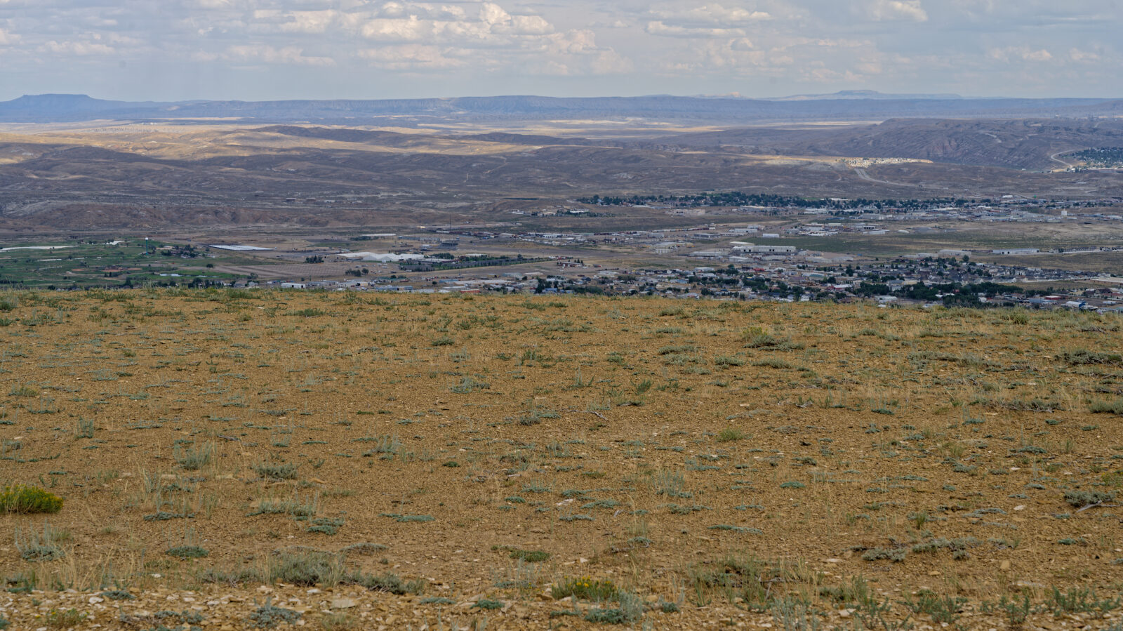
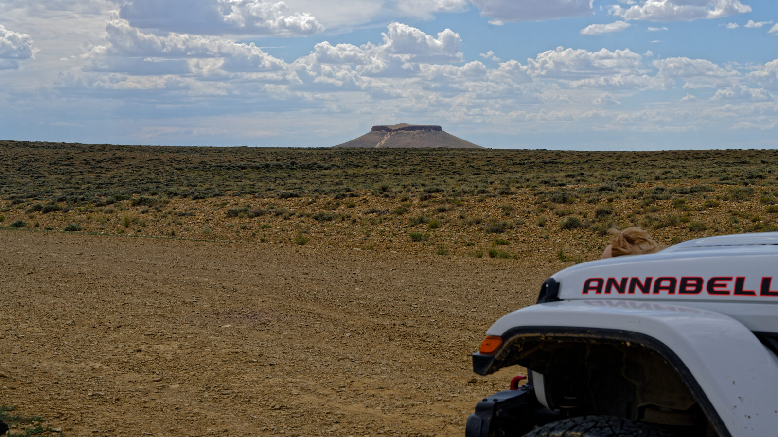
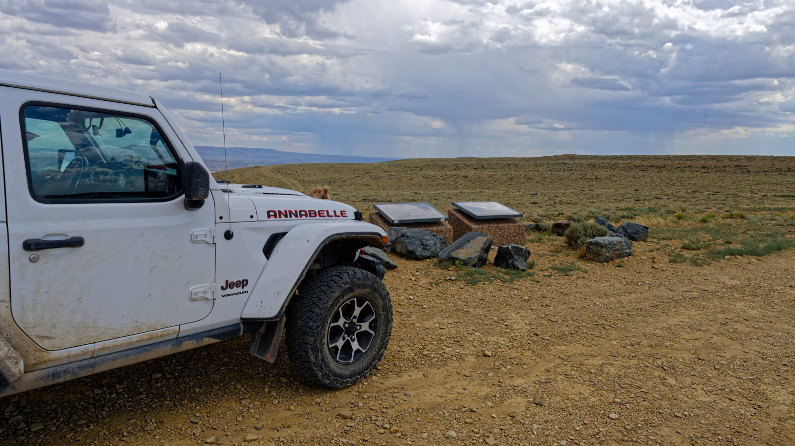
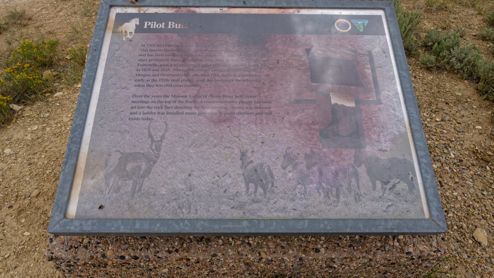
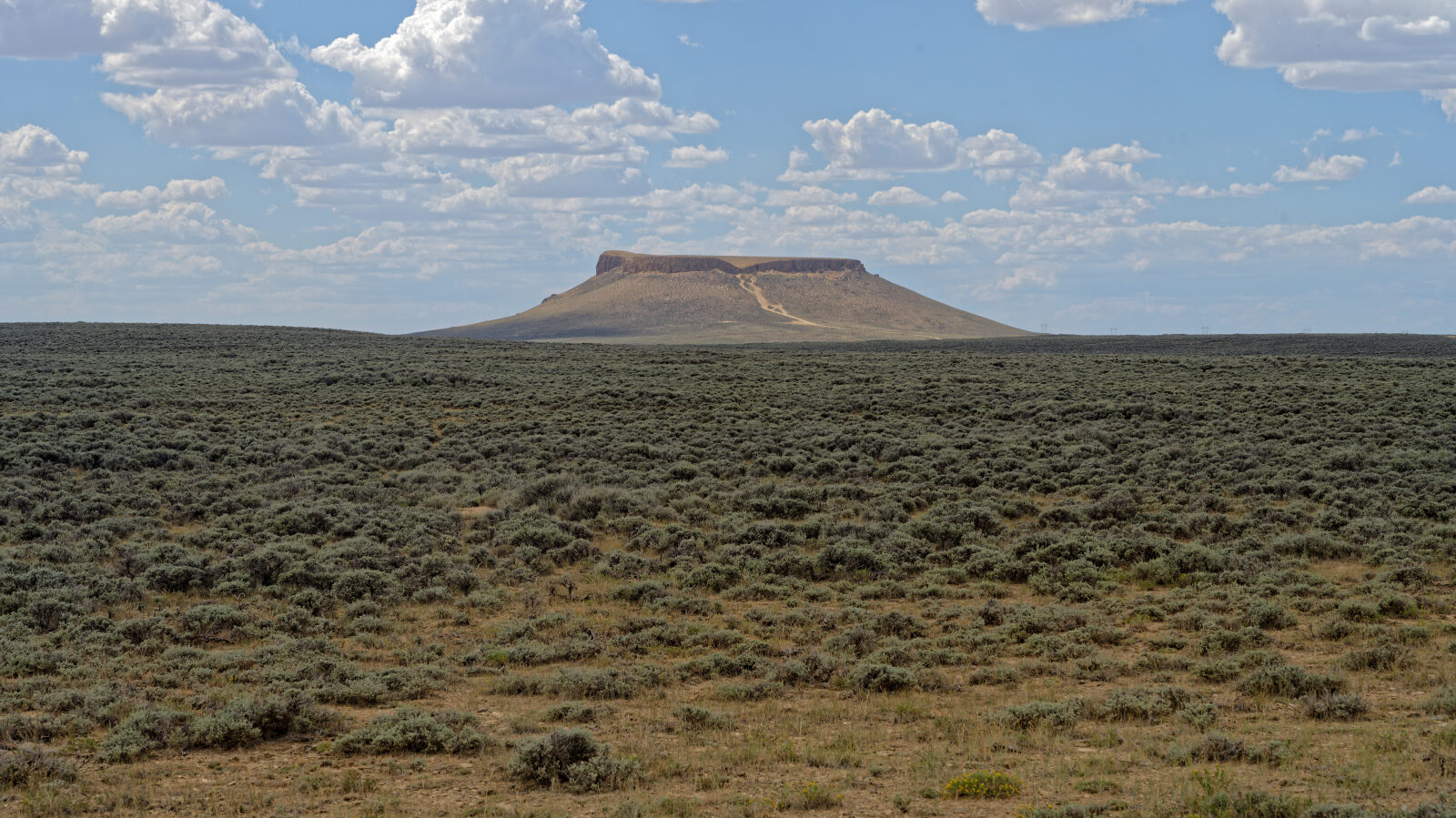
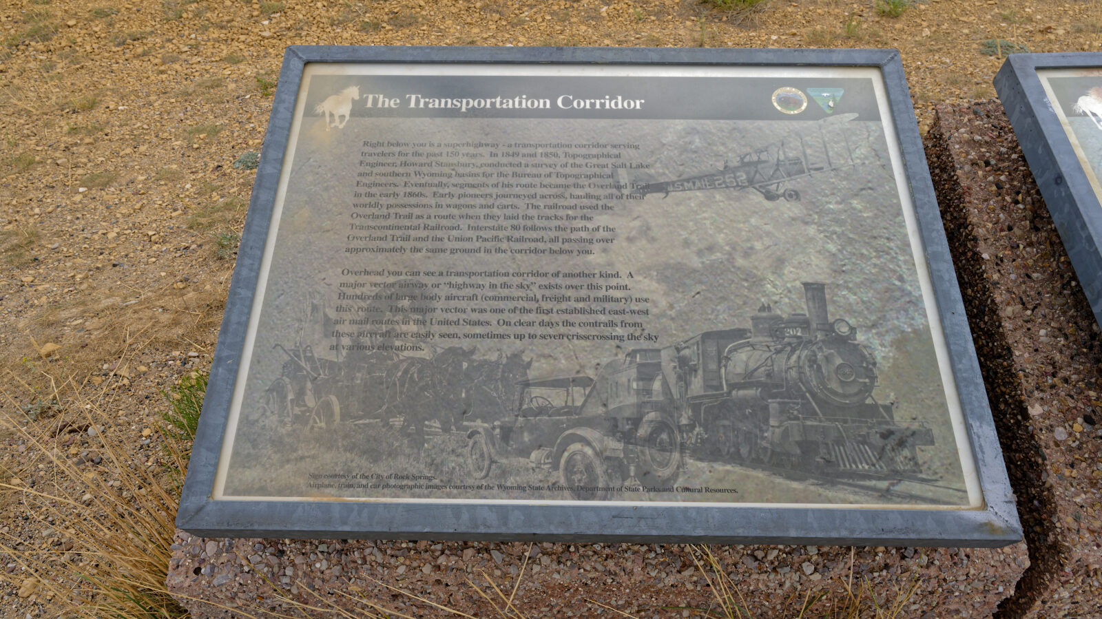
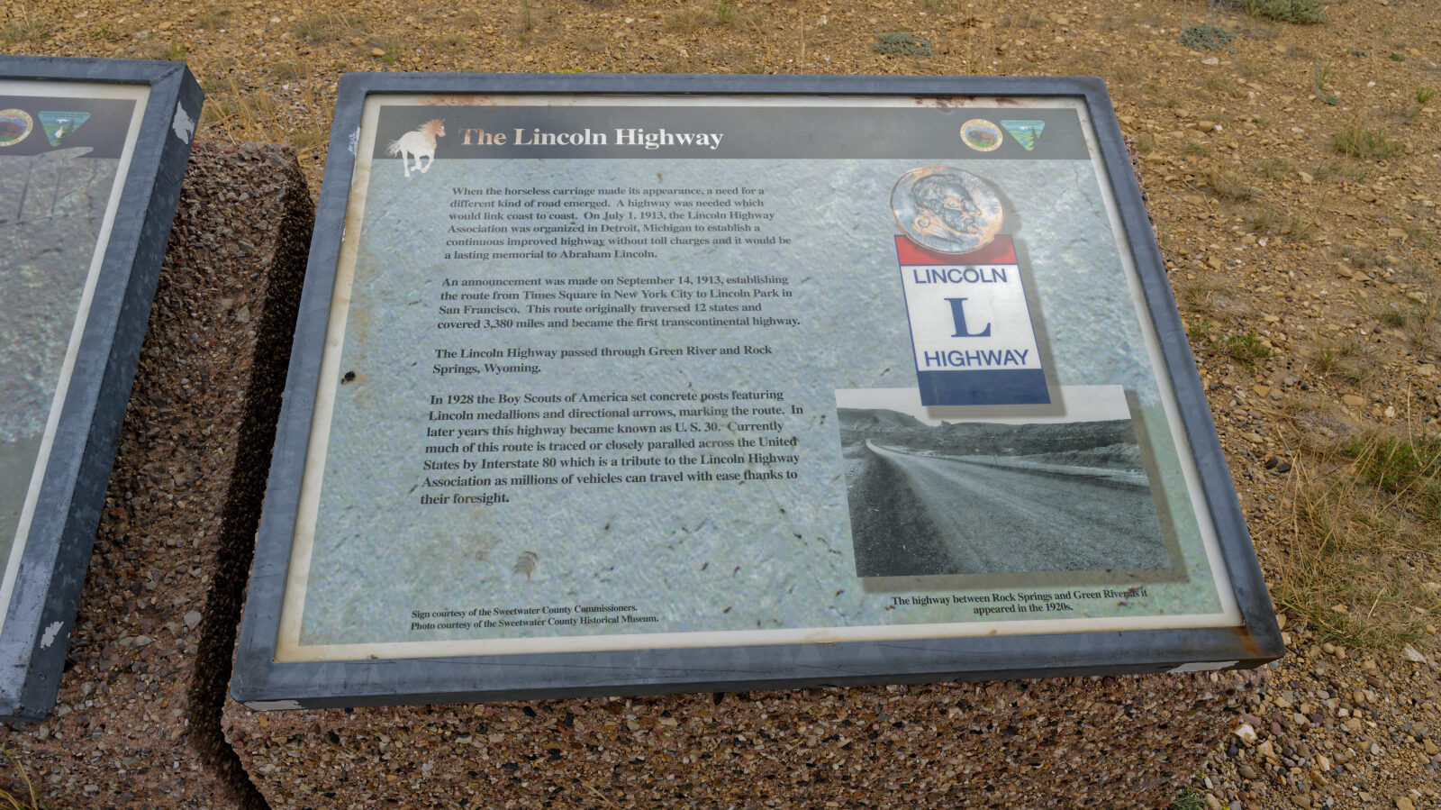
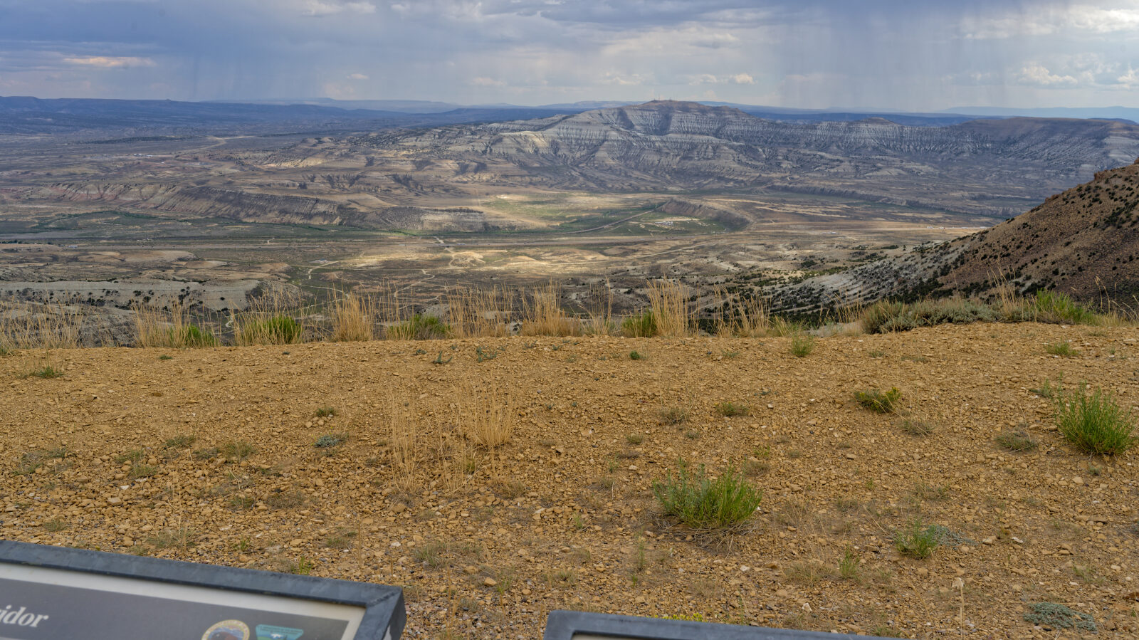
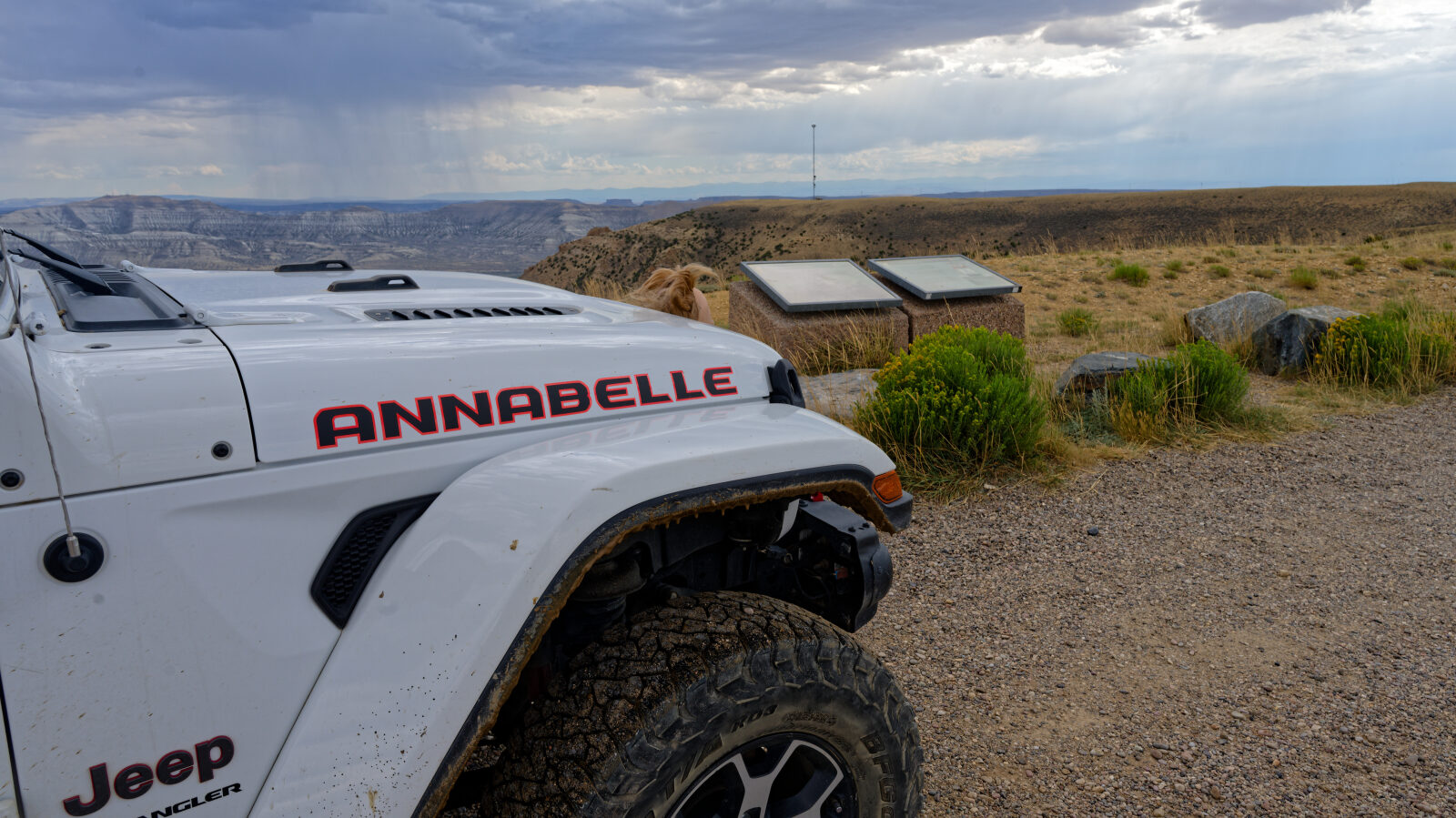
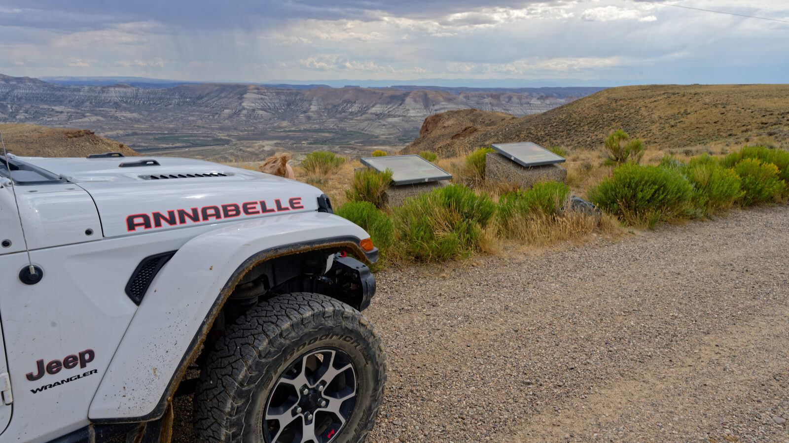
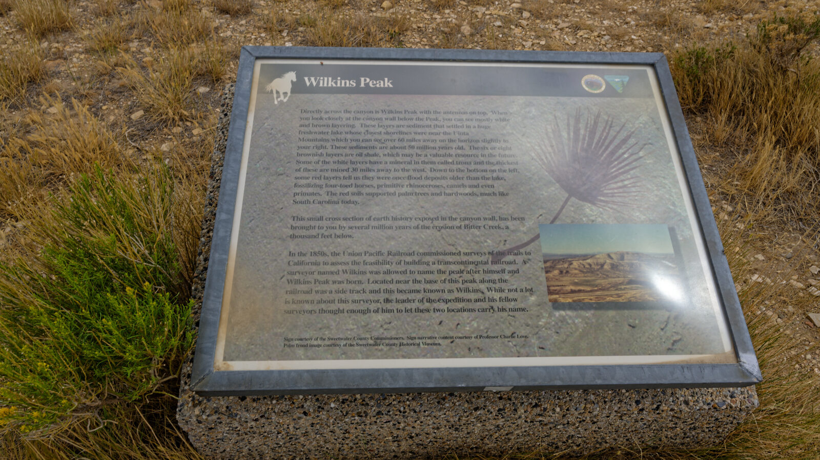
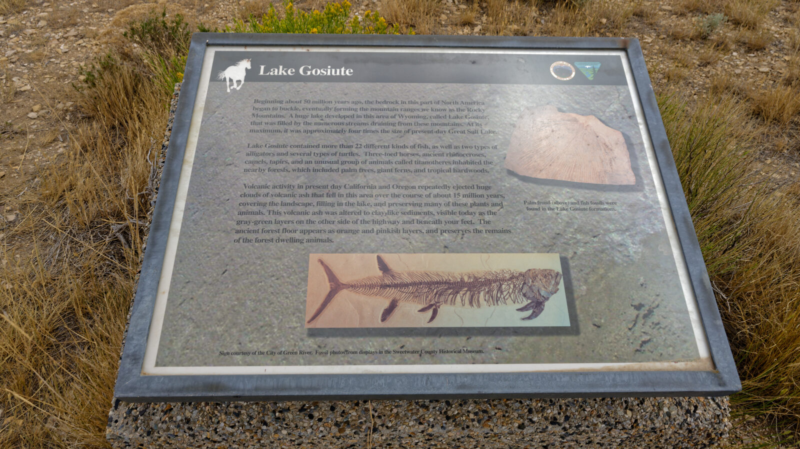
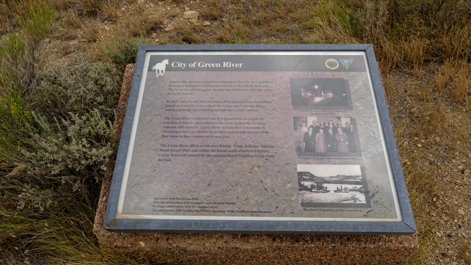
Besides horses, the area is known for pronghorn, which are often seen near the road. Desert elk, deer, coyotes, hawks, eagles and sage grouse also live here. Overlooks with information plaques name features such as Pilot Butte, Boar's Tusk, the Killpecker Sand Dunes, Steamboat Mountain, the Table Mountains, Aspen Mountain and Wilkins Peak. On clear days the Wyoming, Wind River and Uinta ranges are visible. The White Mountain Petroglyphs site is nearby, though the short trail to it is lightly signed. There are no services on the loop, so bring fuel, water and supplies. If the horses stay out of sight, the BLM wild horse holding facility in Rock Springs has a free year-round viewing kiosk.
Trail GPS File
Map
The interactive map needs JavaScript. Every waypoint is also listed below.
Waypoints
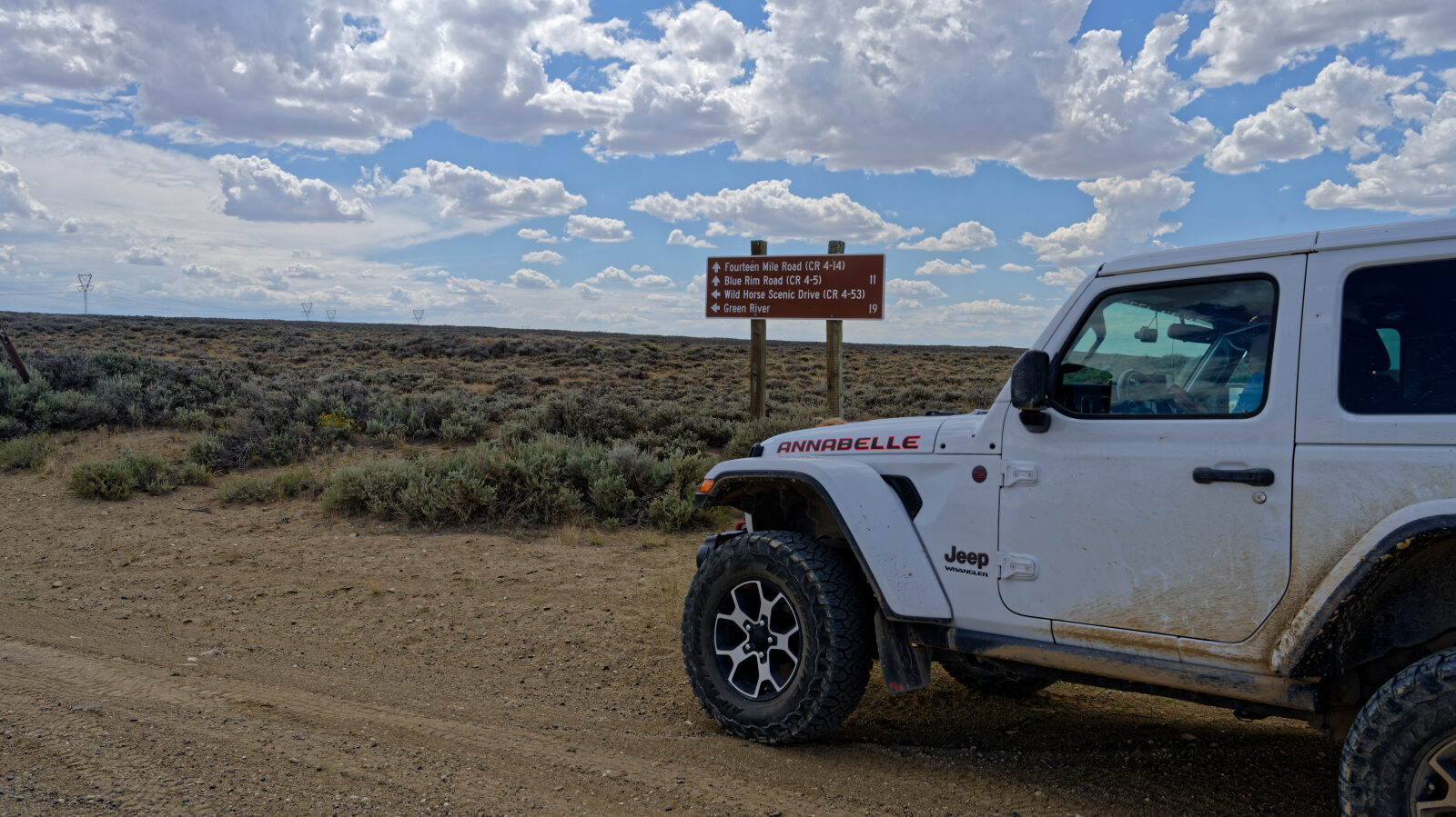
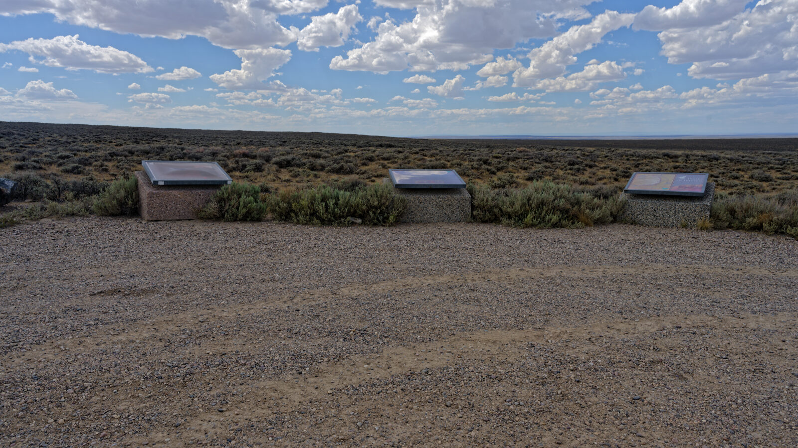
Waypoint 1 (41.74854, -109.36231)
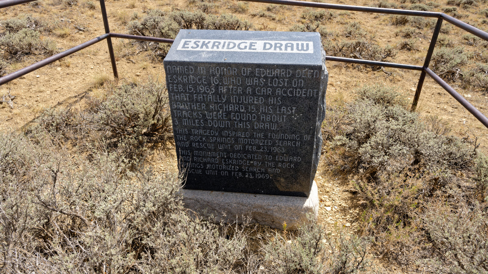
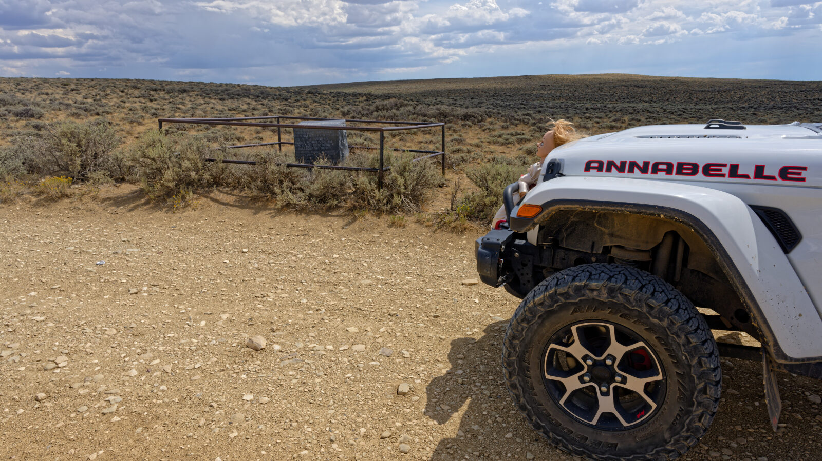
Waypoint 2 (41.73353, -109.36204)
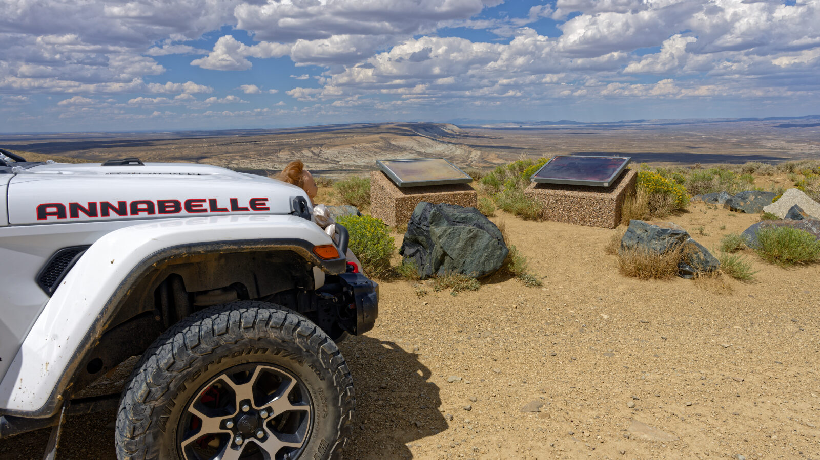
Waypoint 3 (41.72062, -109.31890)
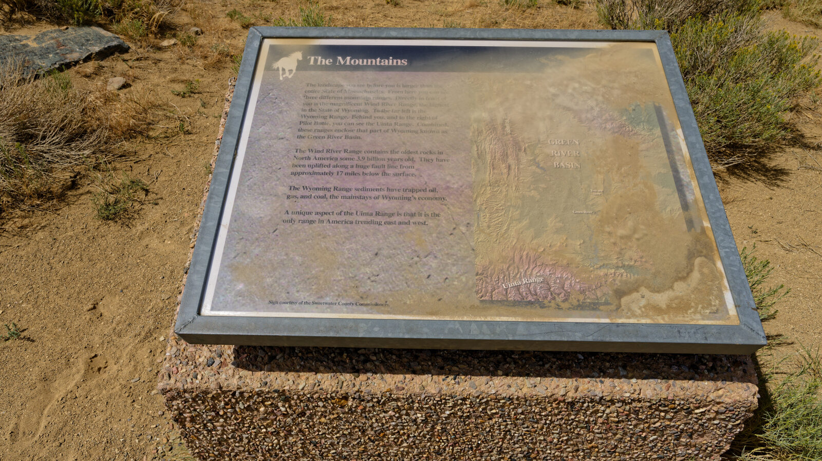
Waypoint 4 (41.72071, -109.31821)
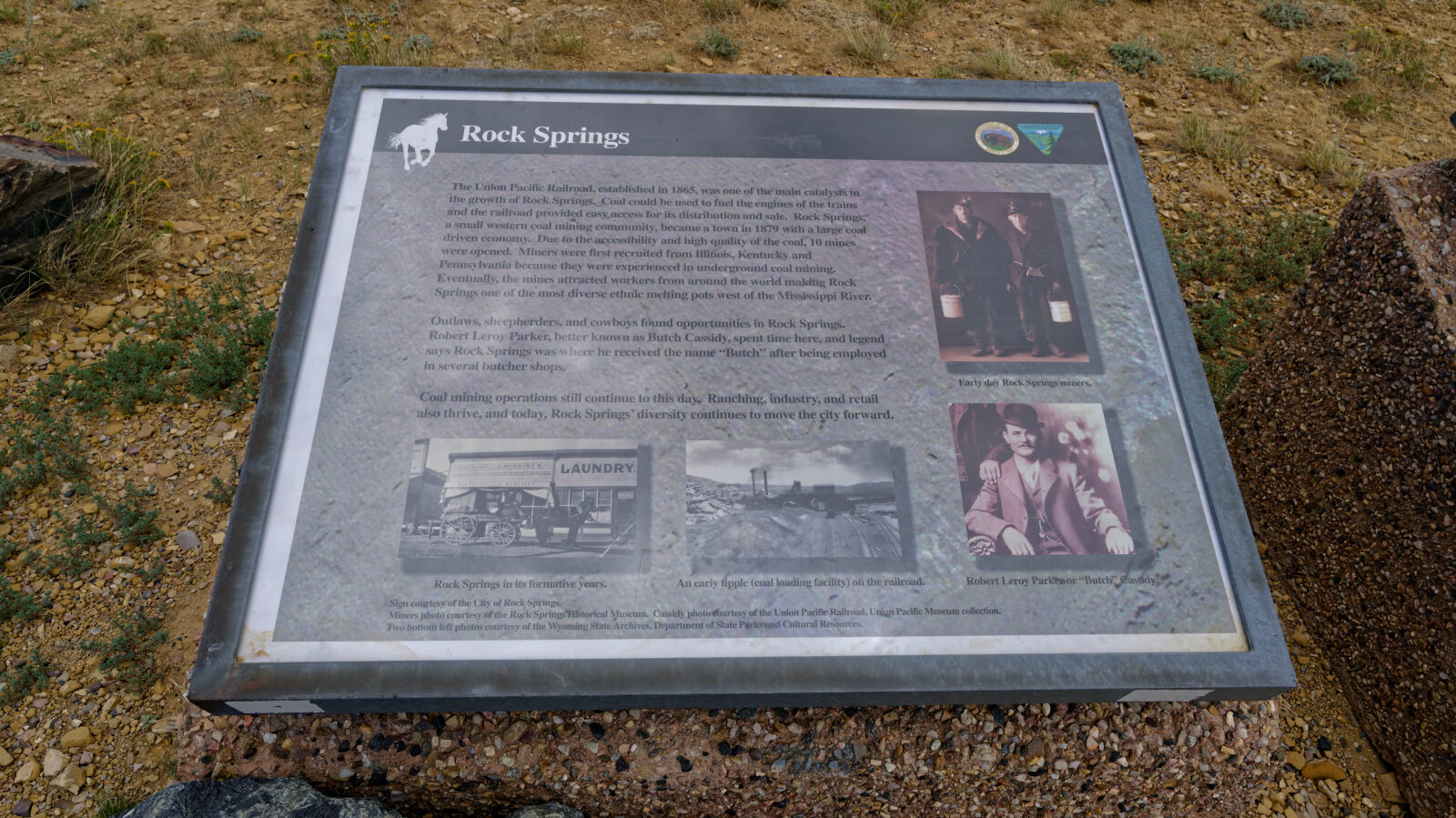
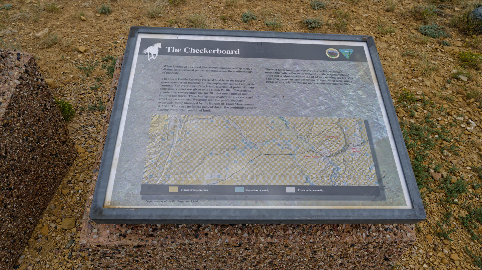
Waypoint 5 (41.65447, -109.29520)
Waypoint 6 (41.63224, -109.30804)
Waypoint 7 (41.59295, -109.31502)
Waypoint 8 (41.56791, -109.35737)
Waypoint 9 (41.56024, -109.37308)
Waypoint 10 (41.55331, -109.39642)