Boulder Mountain - Level 4
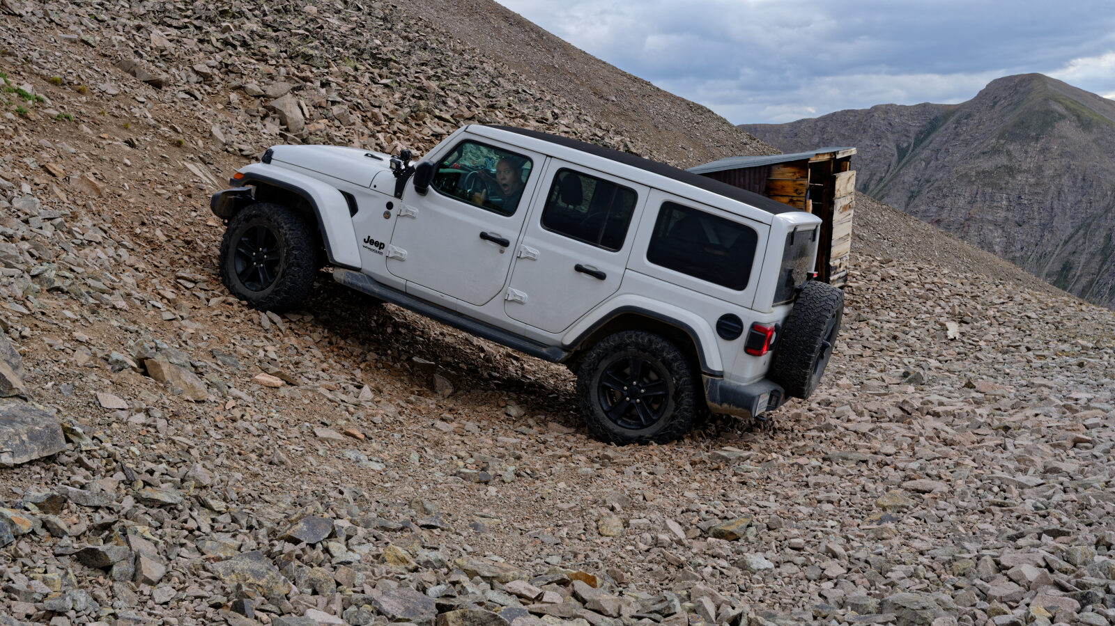
Boulder Mountain is a Forest Service road in the Sawatch Range of central Colorado, in the San Isabel National Forest near St. Elmo and the Mount Antero area. It starts in dense forest and works its way up the north side of the mountain on a narrow roadbed with a series of switchbacks.
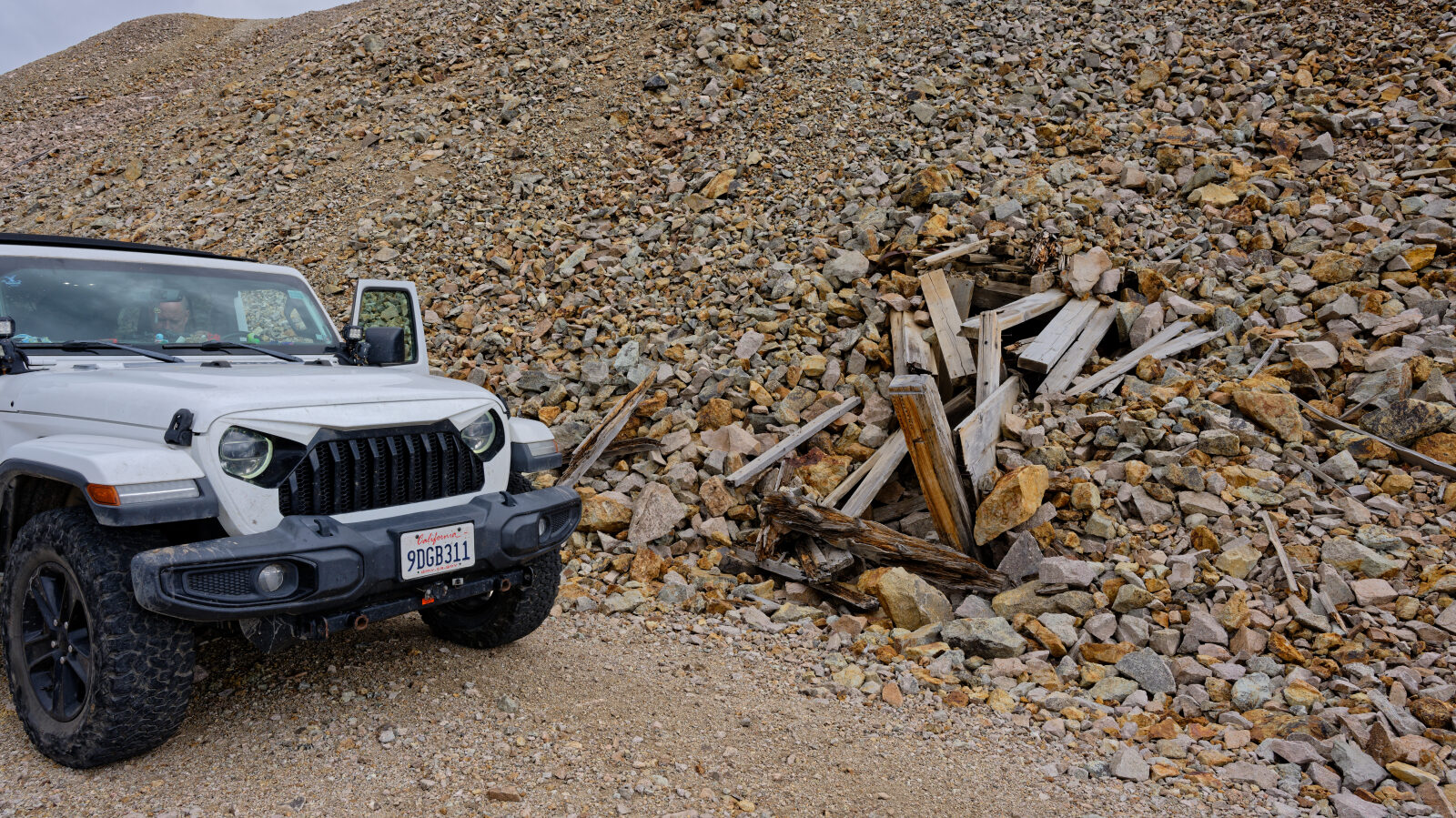
The route runs out and back, so the same road serves for the climb and the return. Above treeline the views open up, and the road ends at an old mine site high on the mountain.
Trail Summary
- LocationChaffee County, Colorado
- Distance6.0 miles
- DifficultyLevel 4
- Elevation9,383 ft to 12,757 ft with a 3,374 ft change
- Travel Time1 hour 43 minutes
Difficulty
Typically challenges the limits of a high clearance 4x4
This is a Moderate, Level 4 trail. It typically challenges the limits of a high clearance 4x4. Low-range gearing is needed, and undercarriage damage is a possibility. The surface is more rock or undulating dirt. Ledges, drops, climbs and washes under 18 inches call for careful tire placement. The road can be steep, loose and slightly off-camber. Expect an uneven, rutted trail with loose rocks, sand and erosion. Water crossings may be up to a foot deep. The road is generally one vehicle wide with places to pass. The driver's log did not call out any specific obstacle on this route.
Terrain
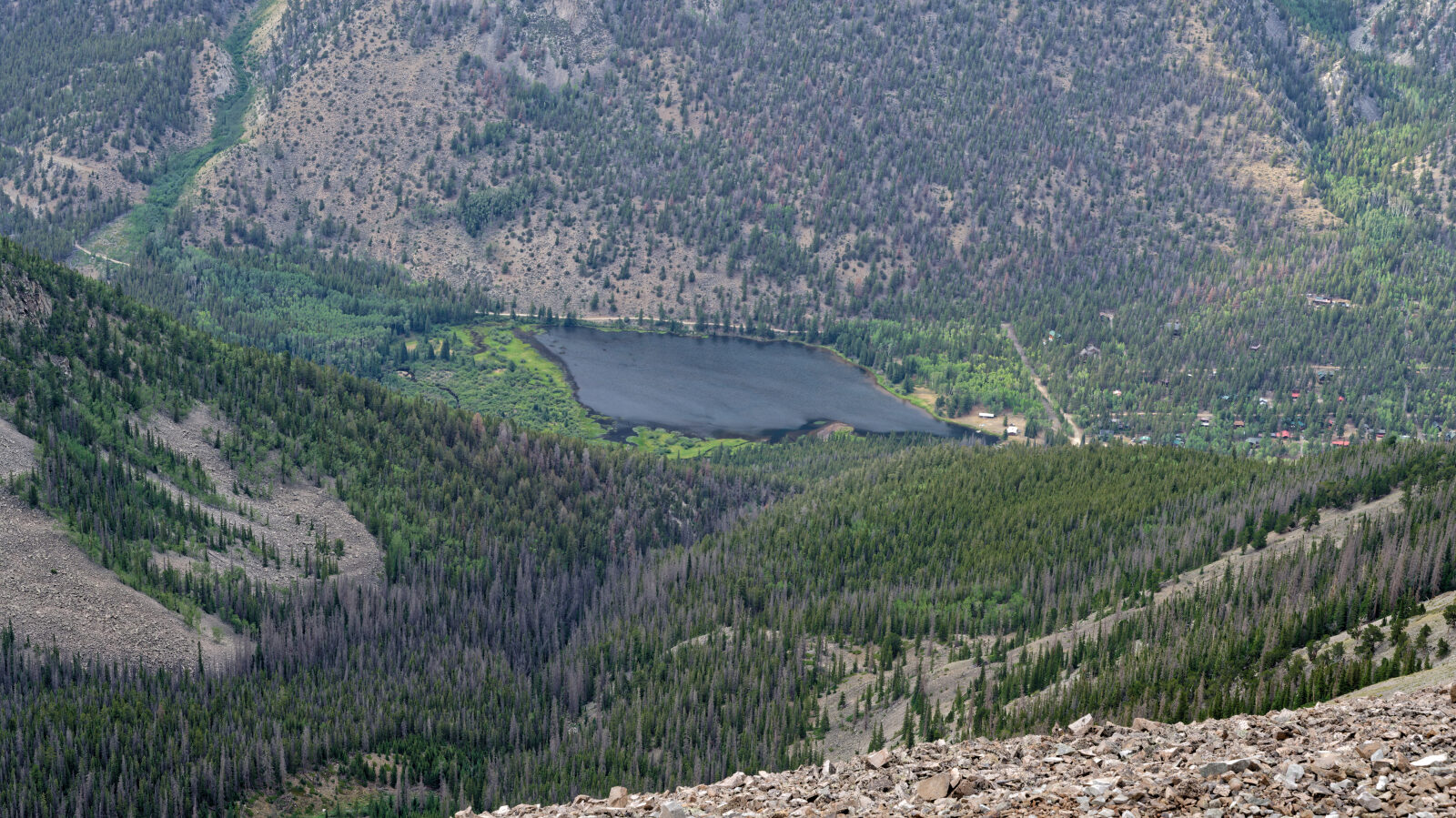
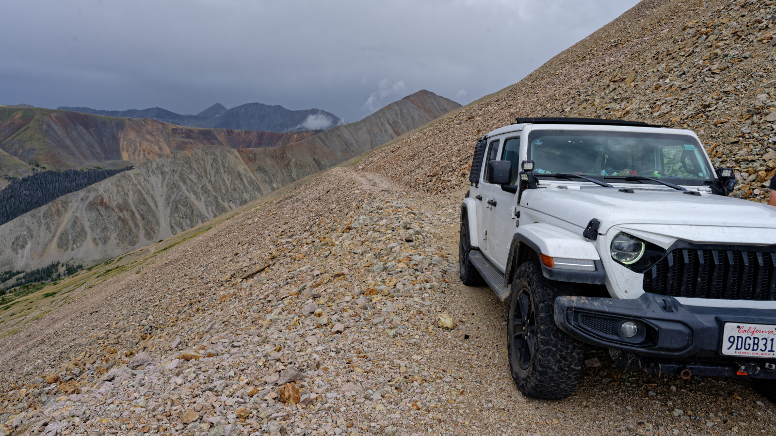
The lower road climbs through thick conifer forest on a narrow roadbed that switchbacks up the north side of the mountain. A wide avalanche chute crosses the road on the way up. Near and above treeline the road crosses talus slopes with unobstructed views, and it continues to the abandoned mine site near the top. Parts of the road are a narrow shelf with steep drop-offs. The road is typically open from mid June to the end of September, and snow can linger on the upper sections early in the season.
Highlights
The trail has no named obstacles, but the steep ground and narrow road keep the driver focused. Reviewers describe it as a good warm-up for the nearby Mount Antero road, and one reported seeing almost no other traffic on a July Saturday. The abandoned mine workings near the end make a good place to turn around and look over the surrounding peaks. Larger full-size vehicles may find the narrow sections tight.
Trail GPS File
Map
The interactive map needs JavaScript. Every waypoint is also listed below.
Waypoints
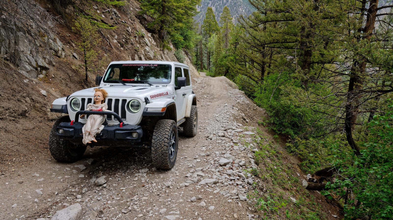
Waypoint 1 (38.70559, -106.28072)
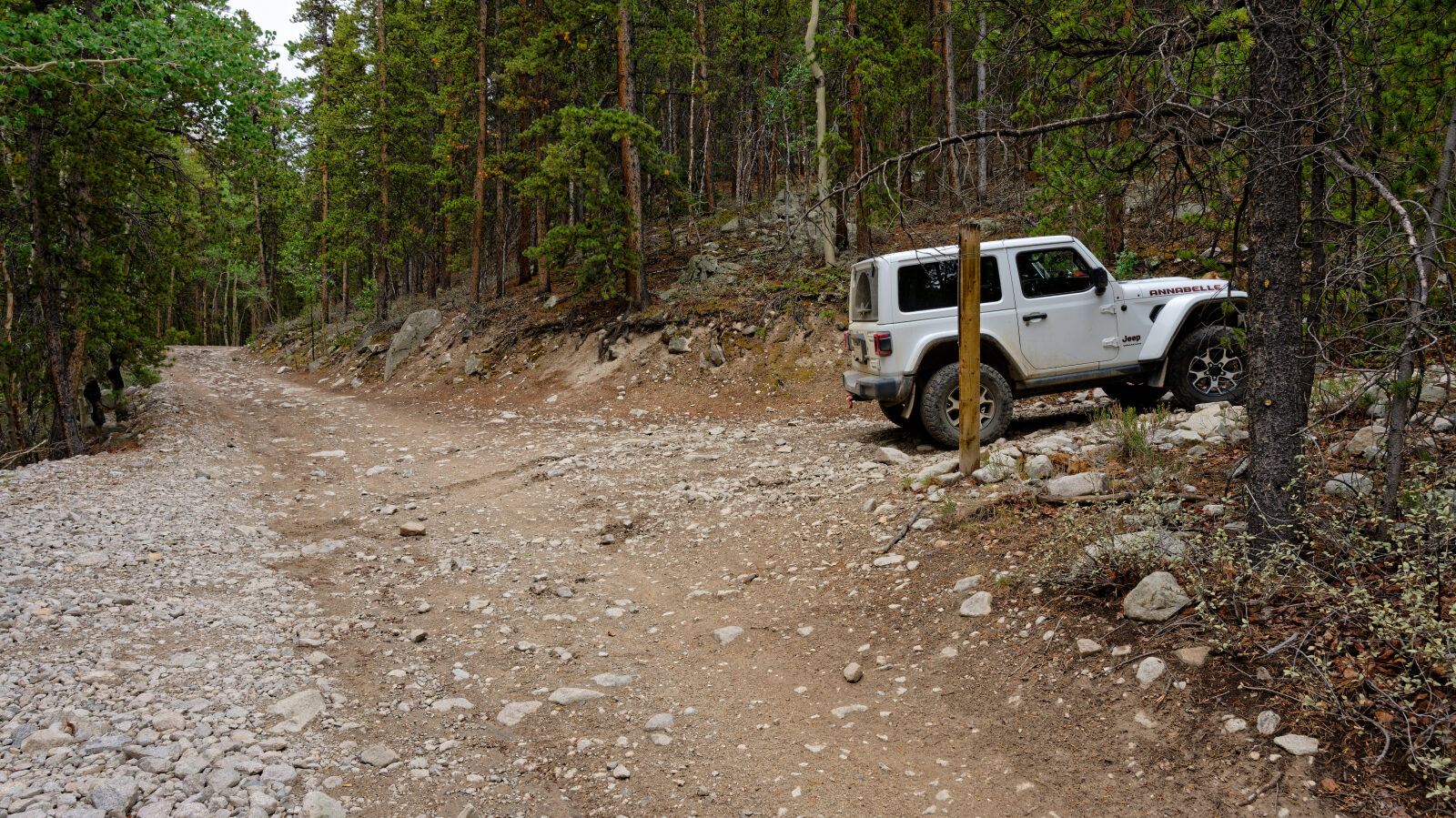
Waypoint 2 (38.70374, -106.27495)
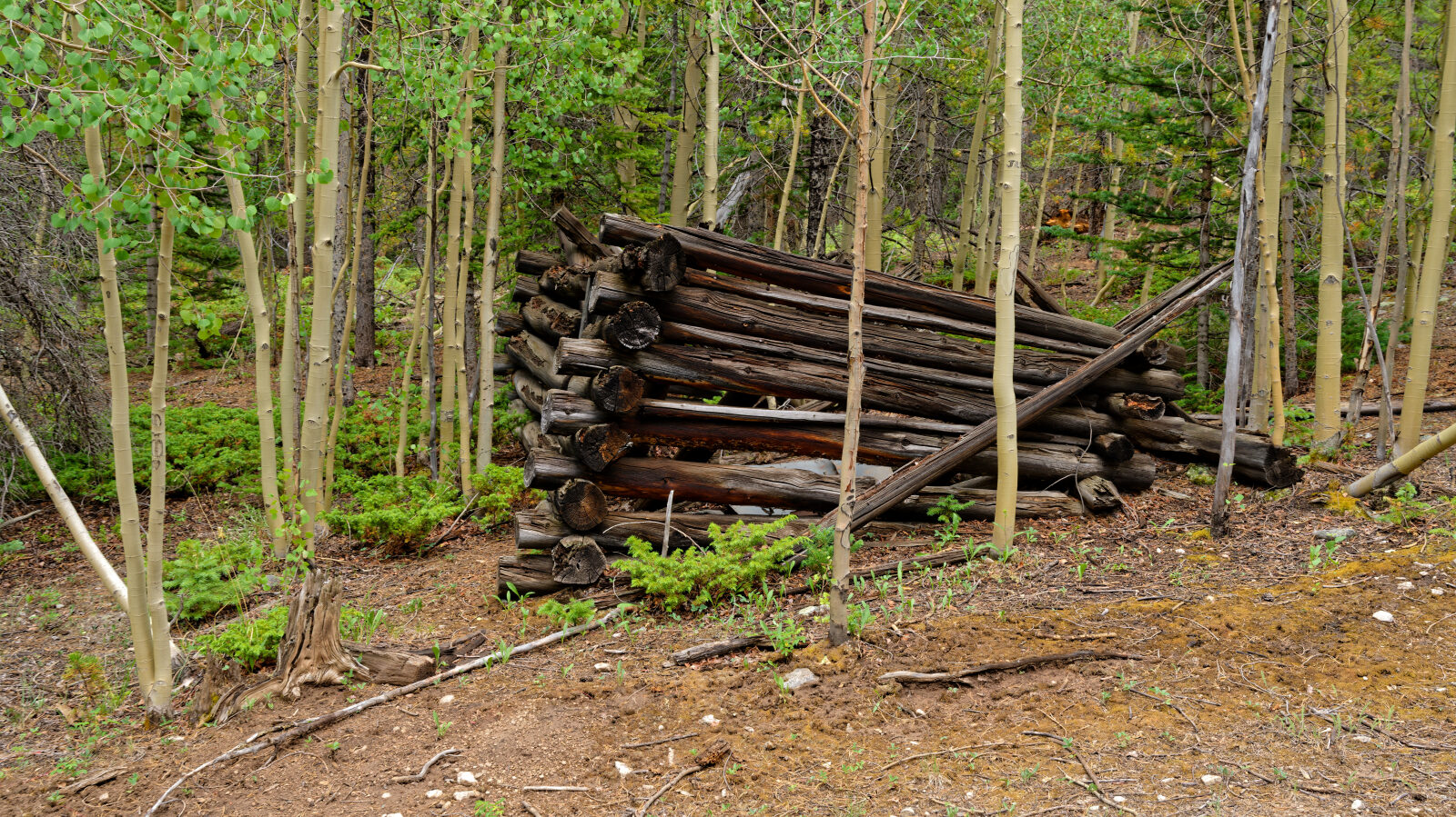
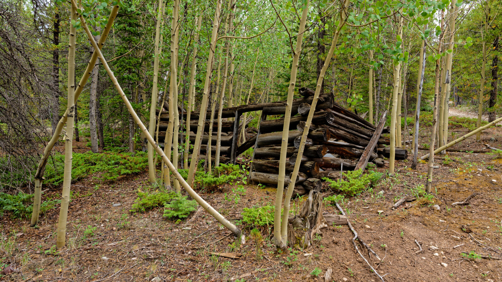
Waypoint 3 (38.69941, -106.27924)
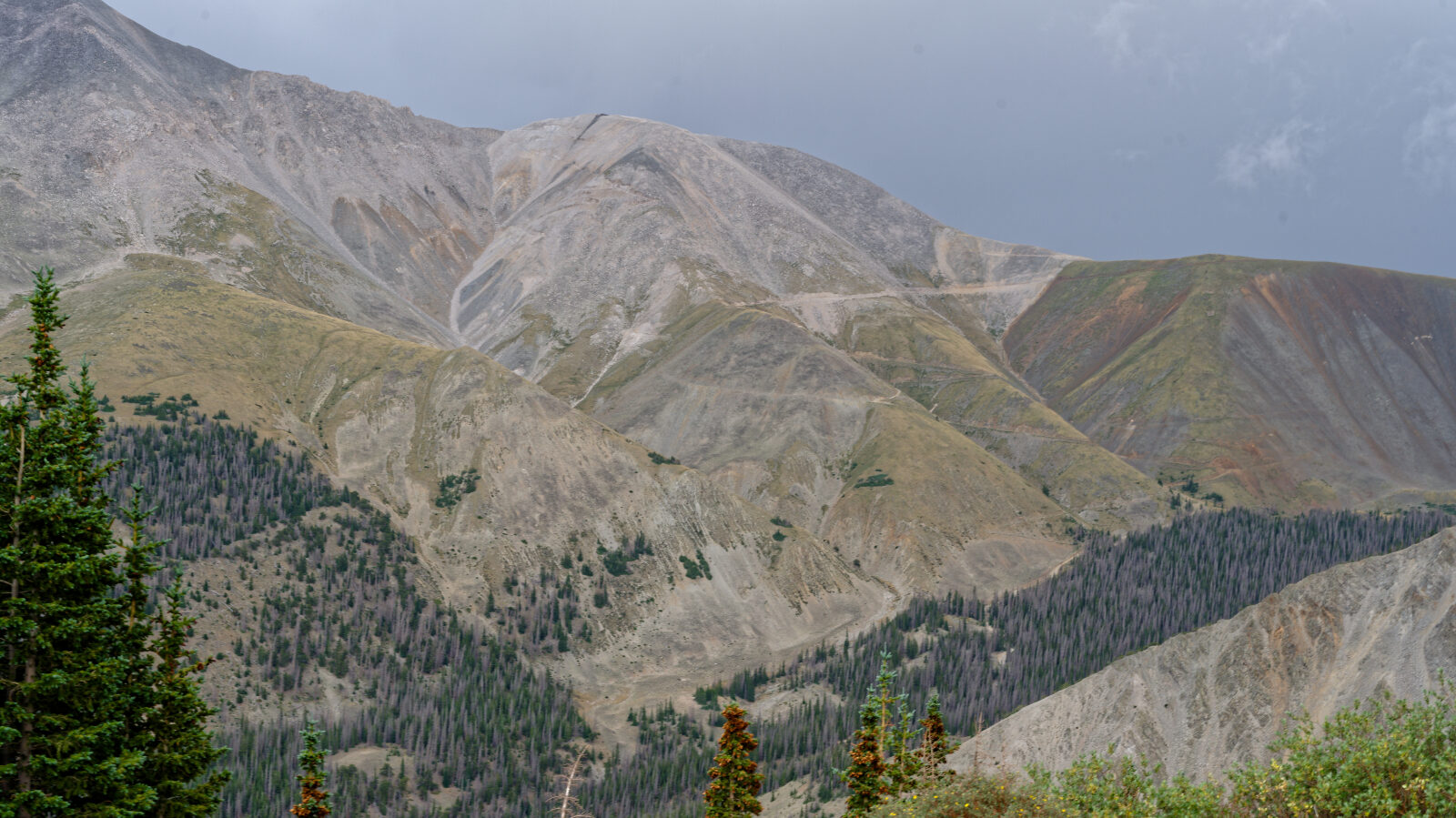
Waypoint 4 (38.68286, -106.28363)
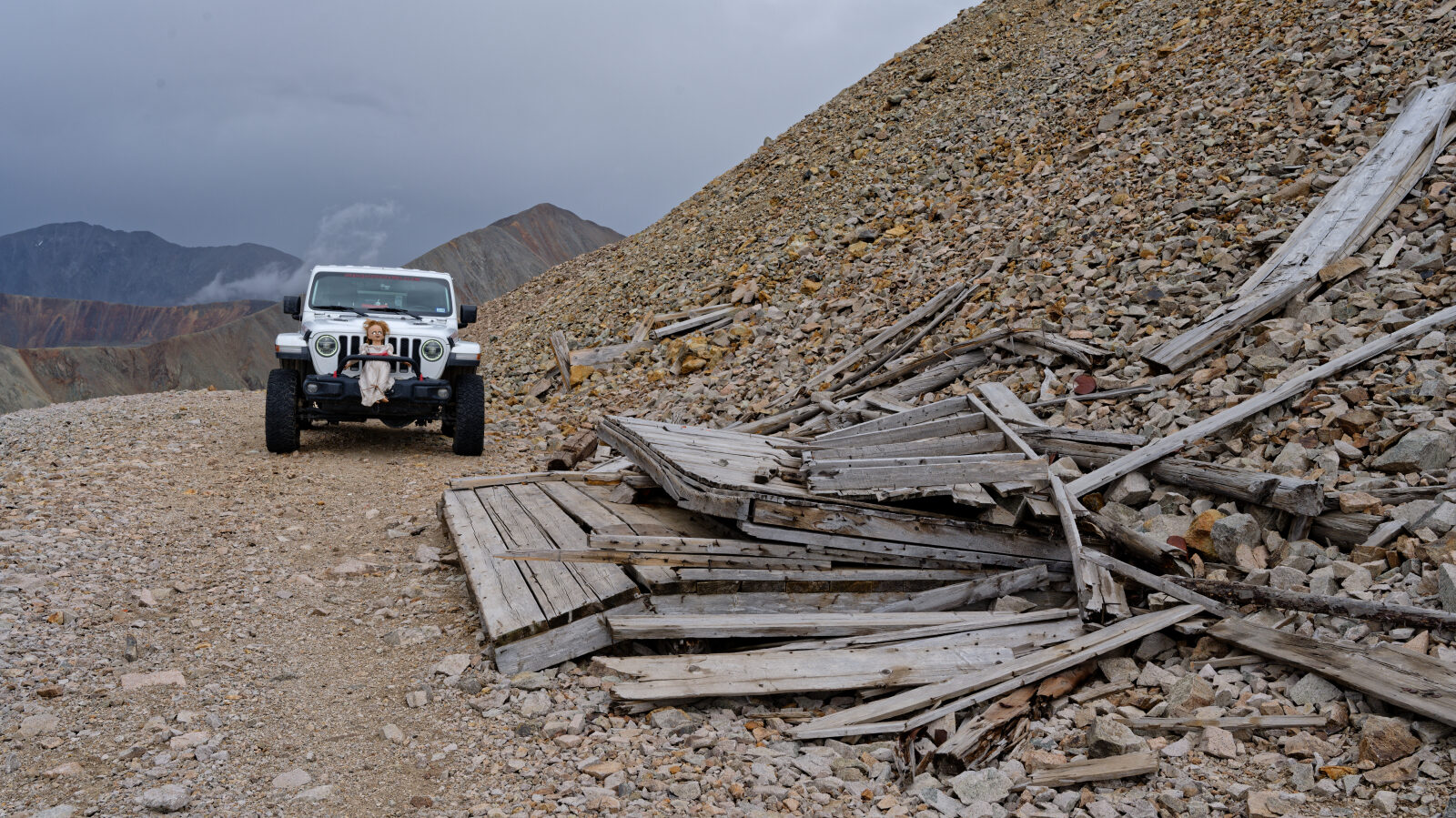
Waypoint 5 (38.68676, -106.28928)