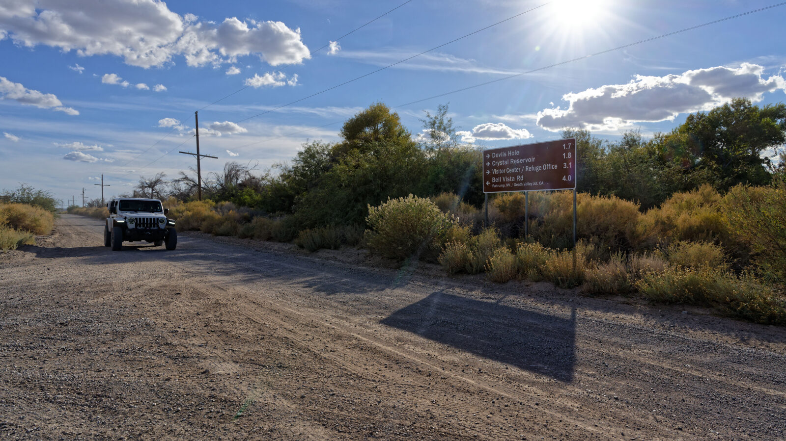
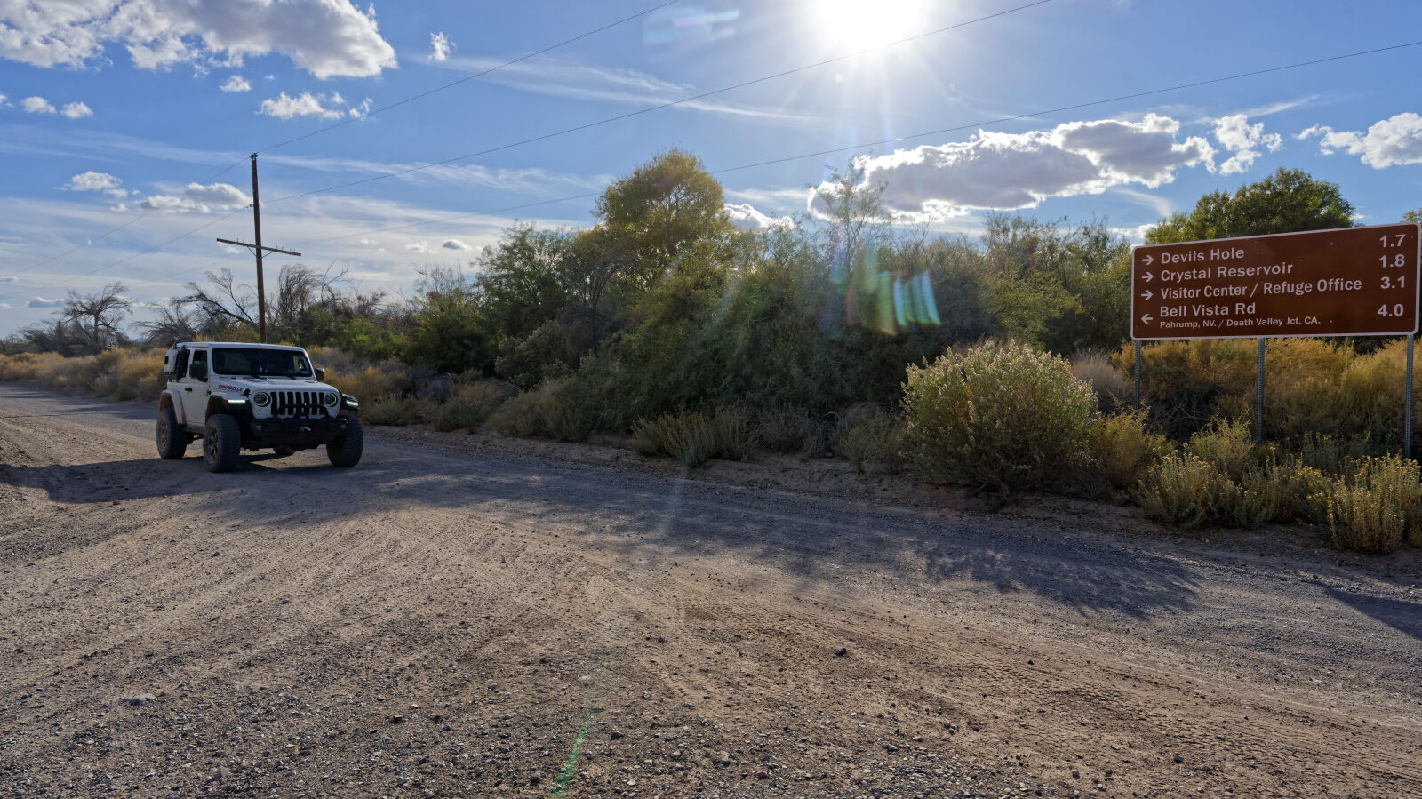
Ash Meadows Road - Level 1
Ash Meadows Road runs north through the desert basin of the Amargosa Valley in southern Nevada, near the California line. It starts on a graded dirt road and passes open flats, side roads to dispersed camping areas, and views across to the green edge of California. The road ends near the springs.
Map
The interactive map needs JavaScript. Every waypoint is also listed below.
Trail Summary
- LocationPahrump, Nevada
- Distance26.7 miles
- DifficultyLevel 1
- Elevation2,161 ft to 2,510 ft with a 349 ft change
- Travel Time1 hour 21 minutes
Difficulty
Suitable for high clearance 2WD
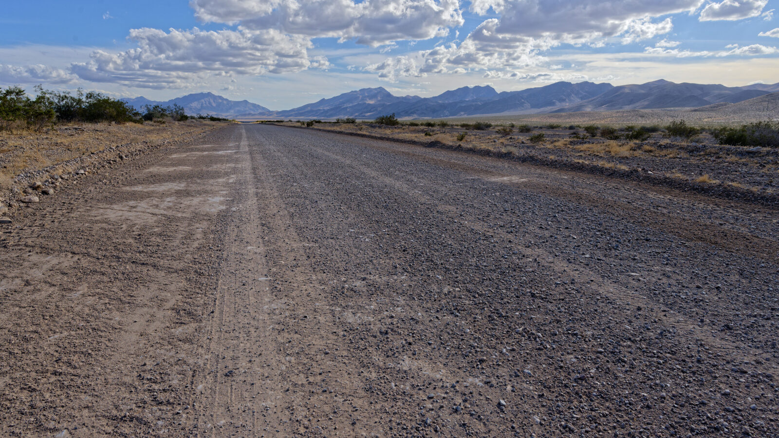
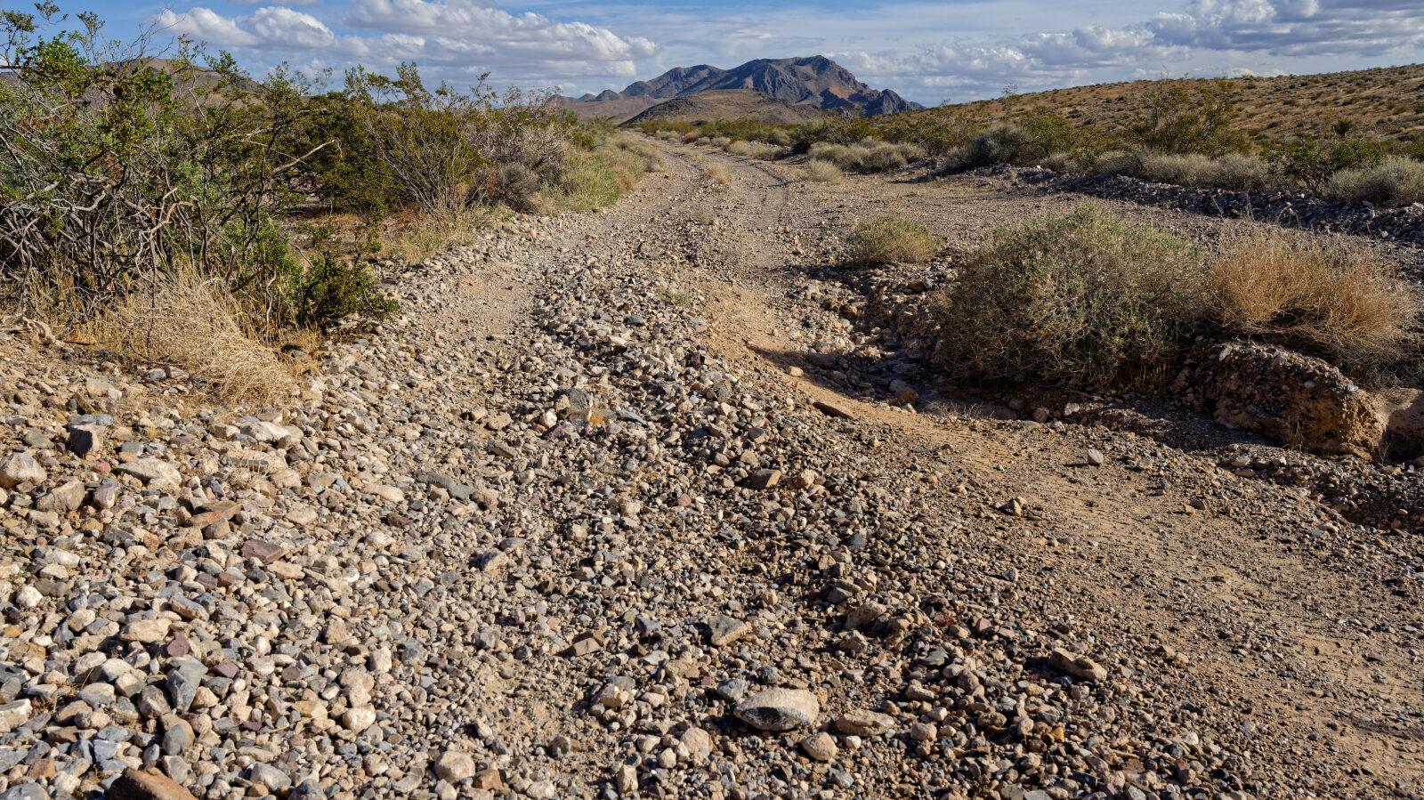
Level 1 is an easy road suitable for high clearance 2WD. Stock equipment is enough. Expect dirt or rocky surface with small dips, ruts or rocks under 5 inches, gentle grades and good traction. Roads are typically two vehicles wide. The driver notes one spot that is a little rougher but not hard. The driver also flags a tricky spot at waypoint 8 that not every rig can make. It is on a side spur, not the main road. It needs a steep approach angle, or you can get out and shovel to build up the spot. The main road stays easy.
Terrain
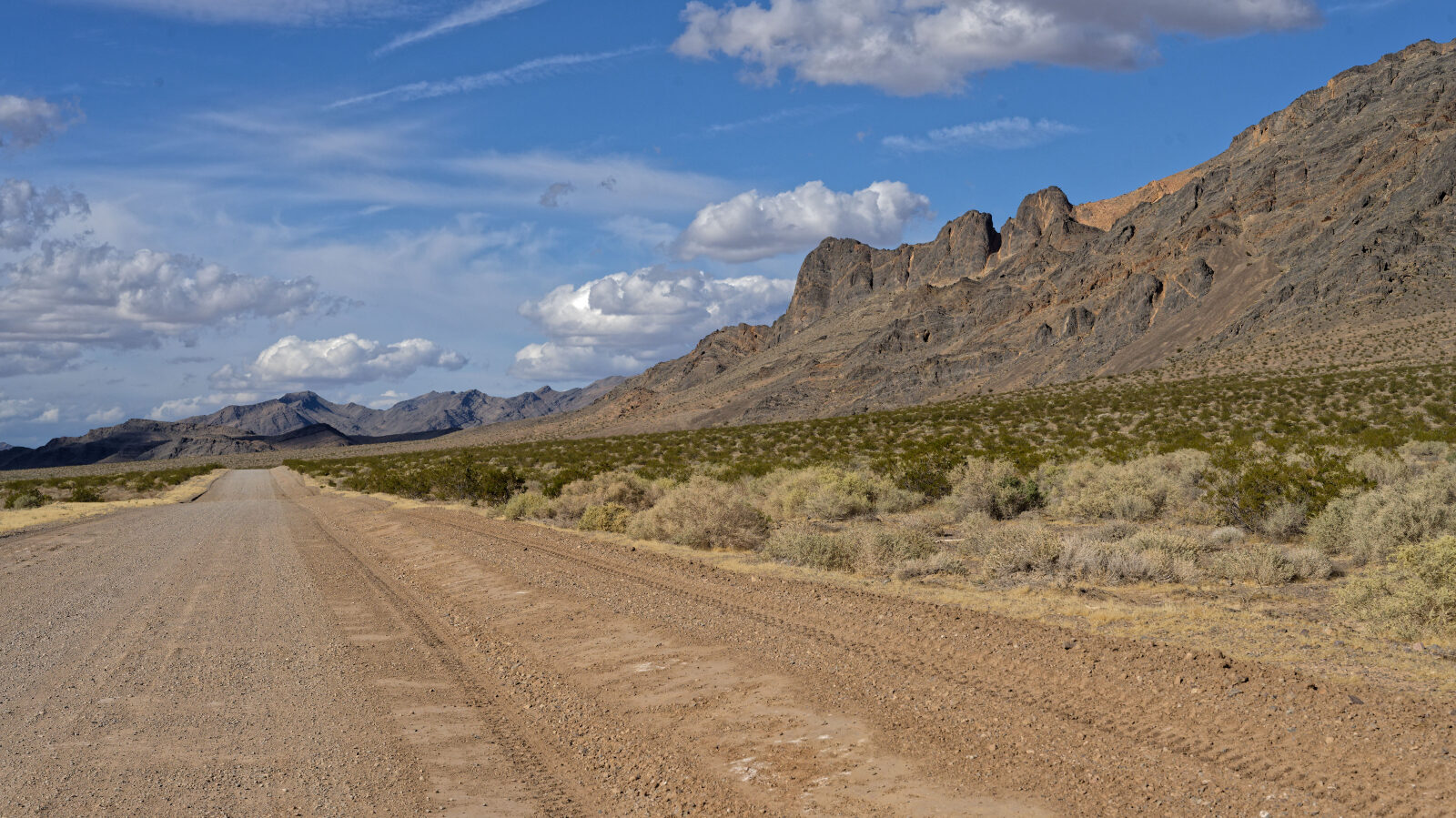
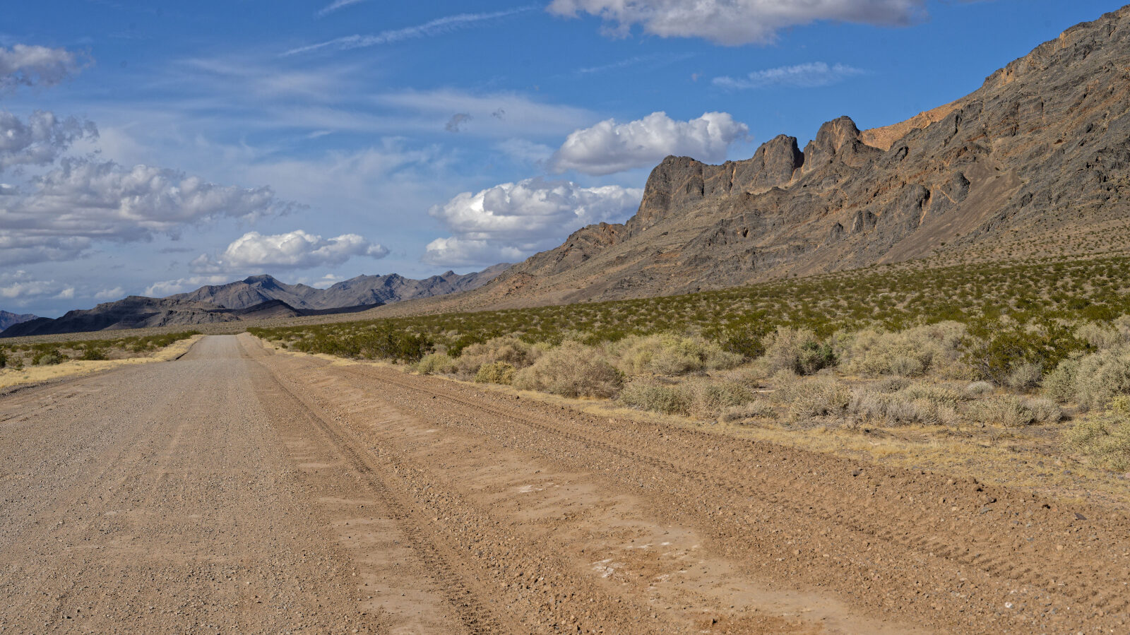
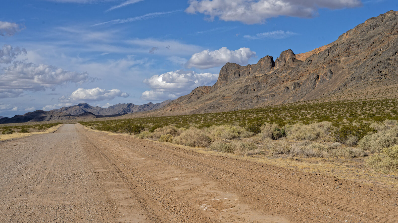
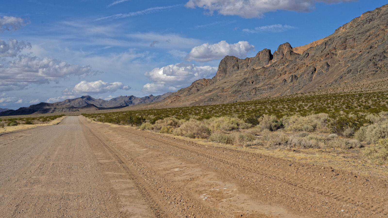
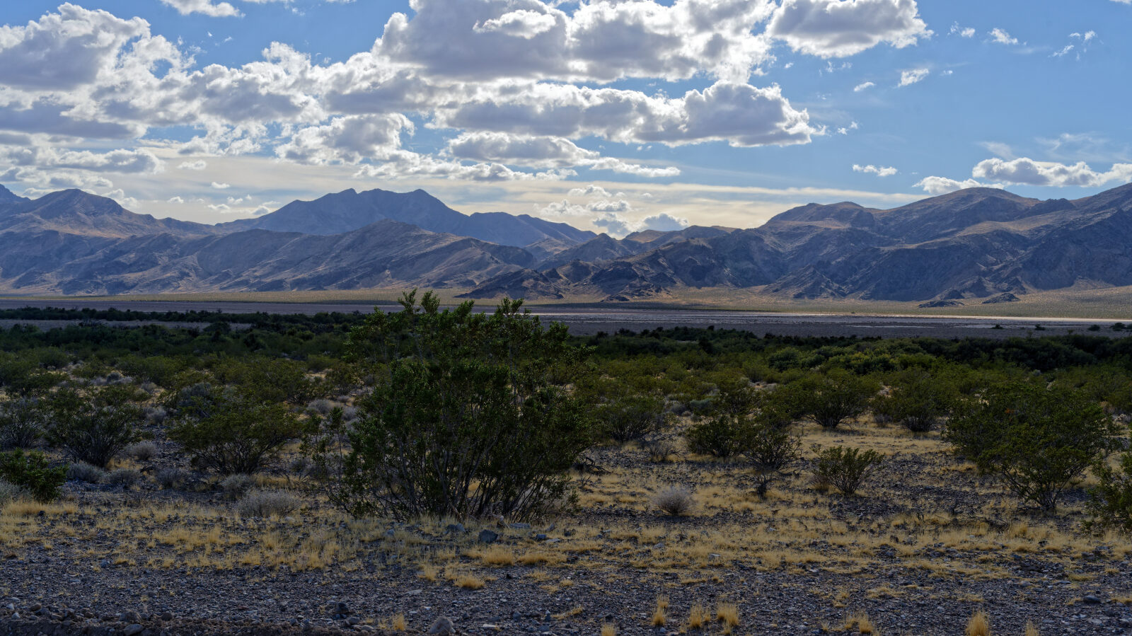
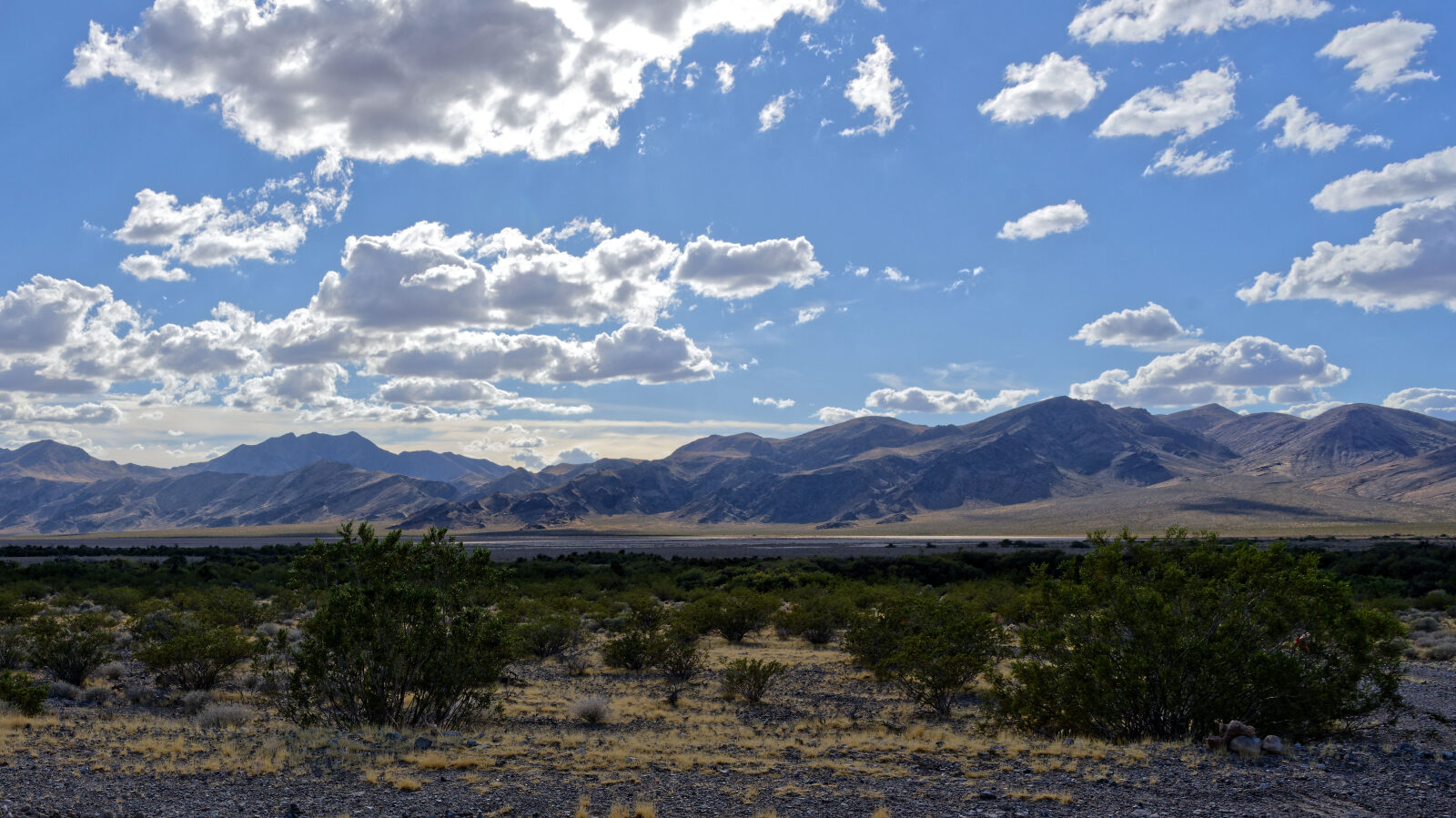
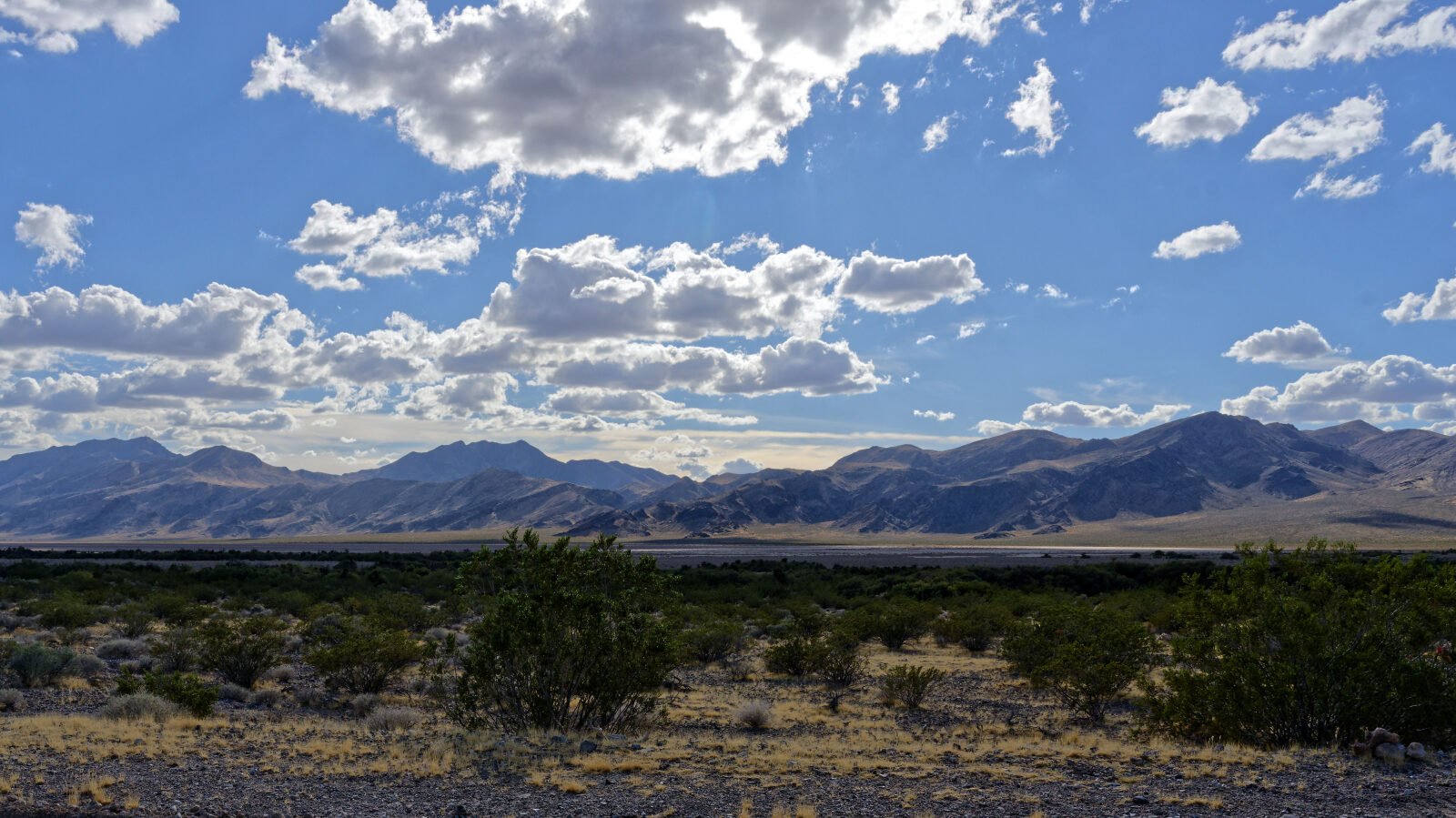
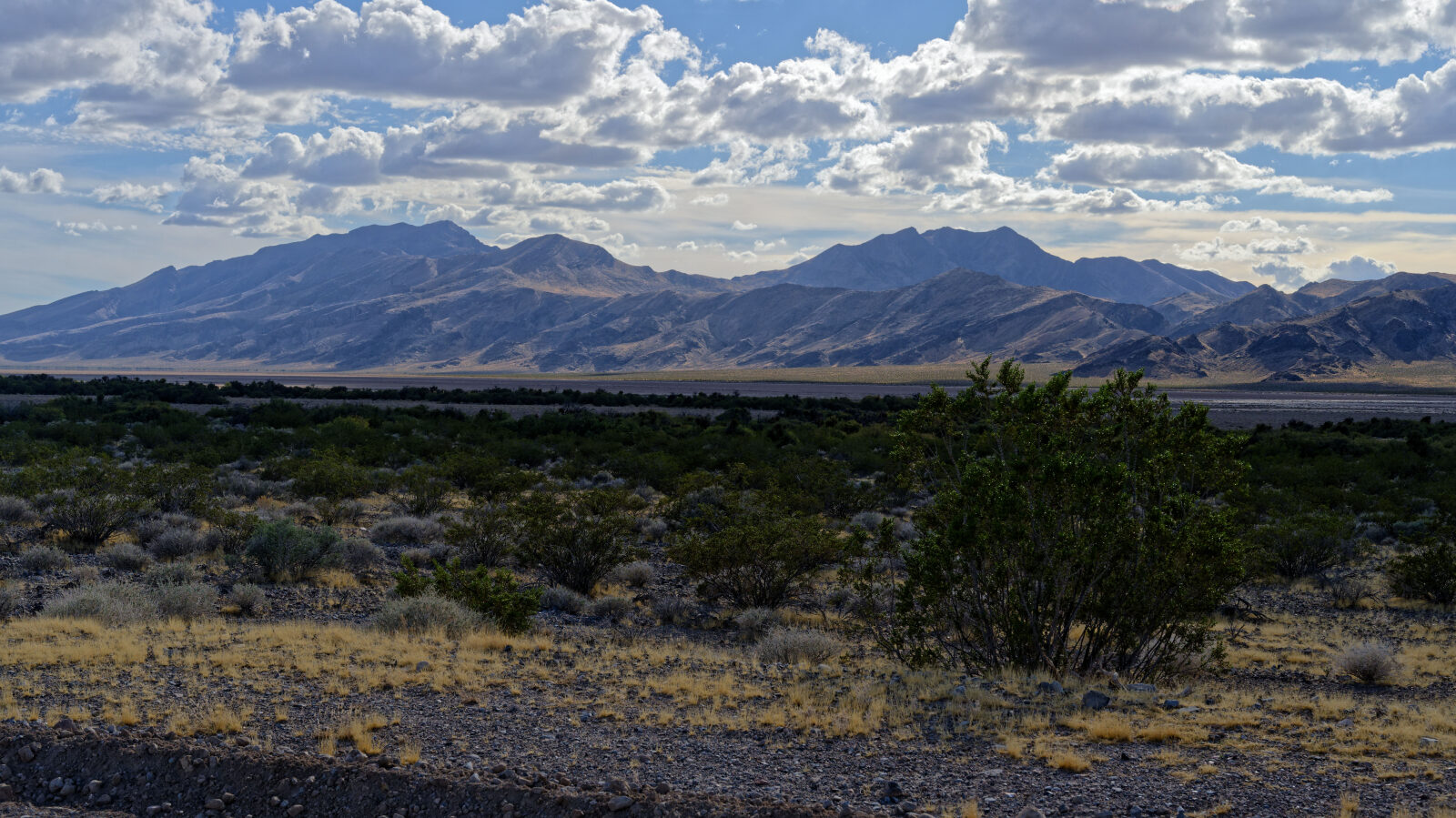
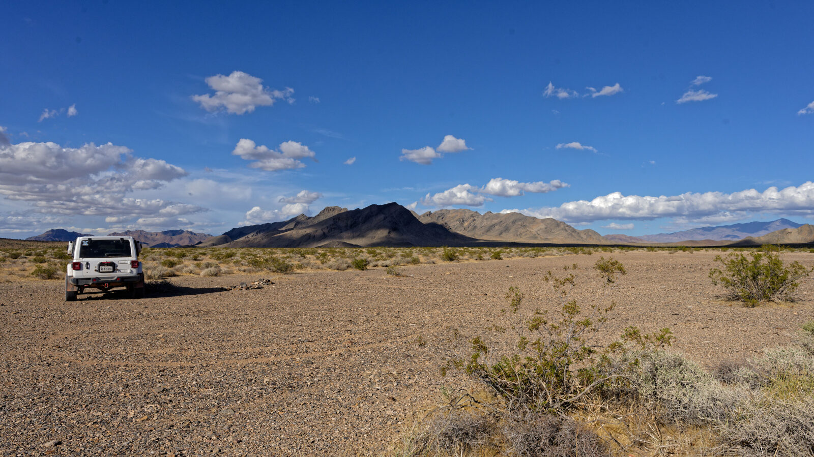
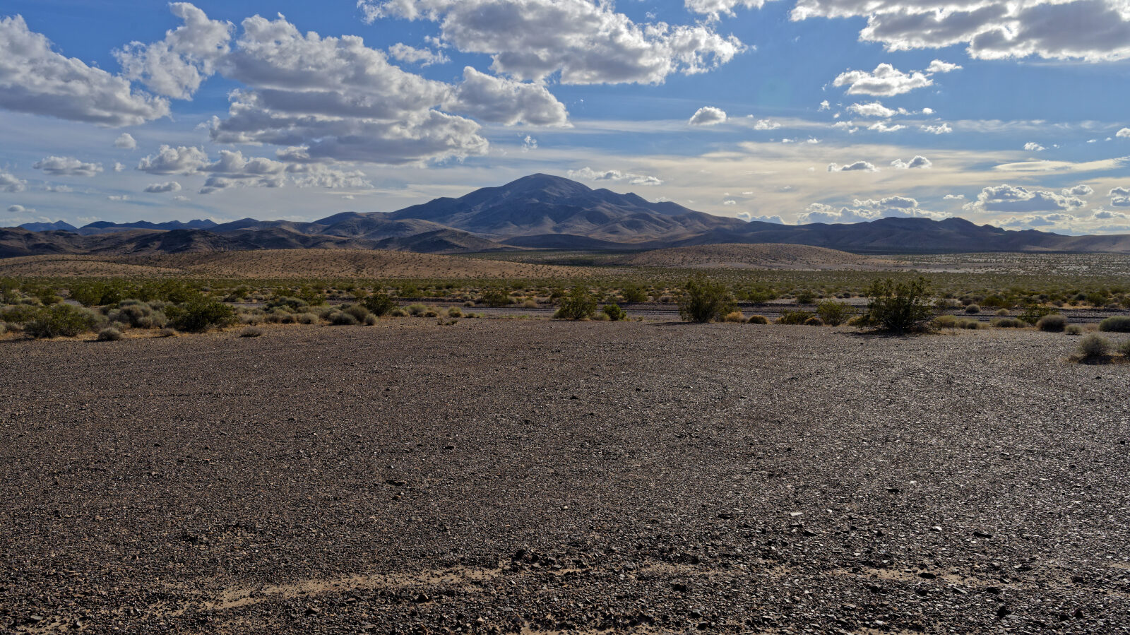
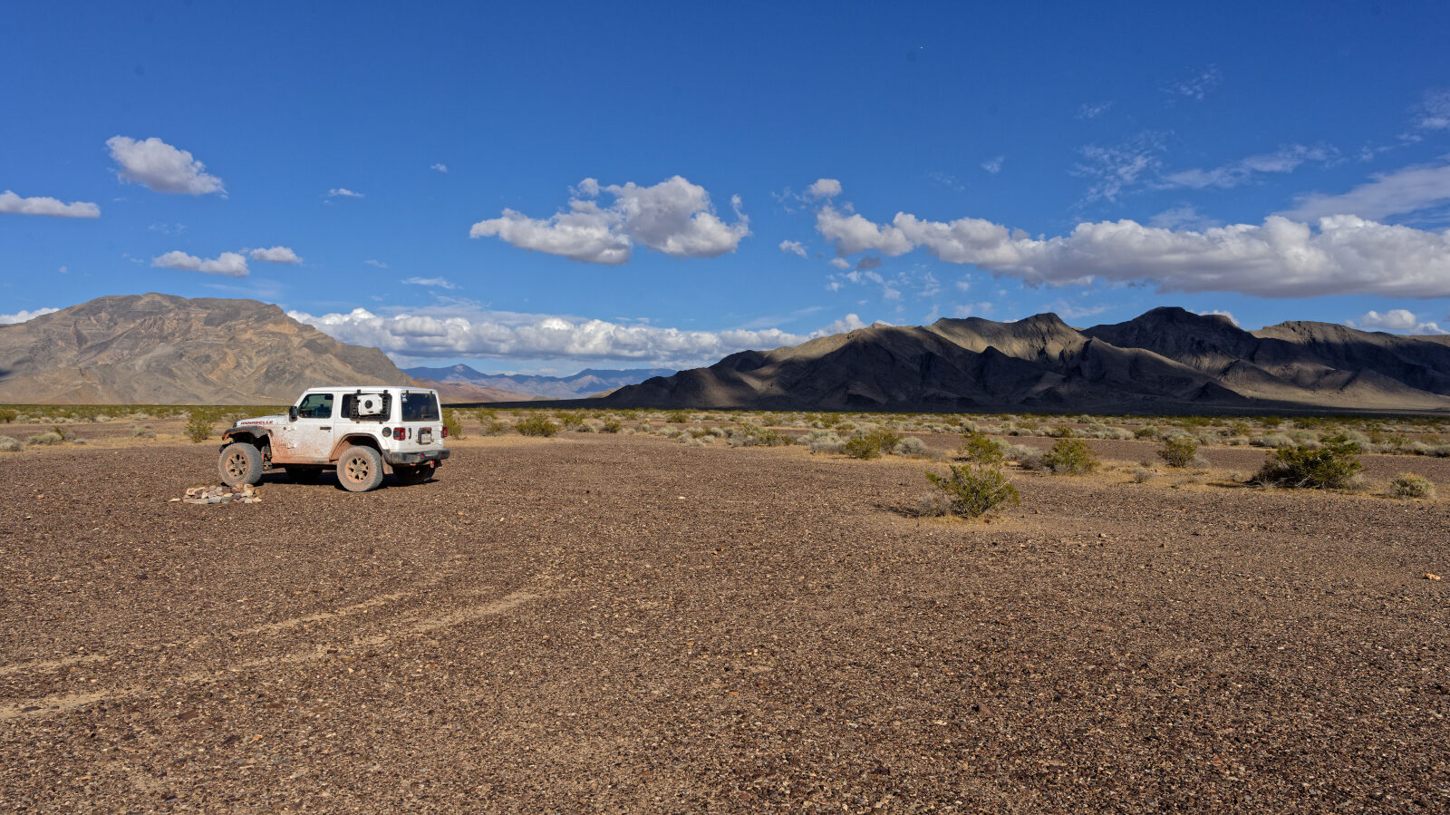
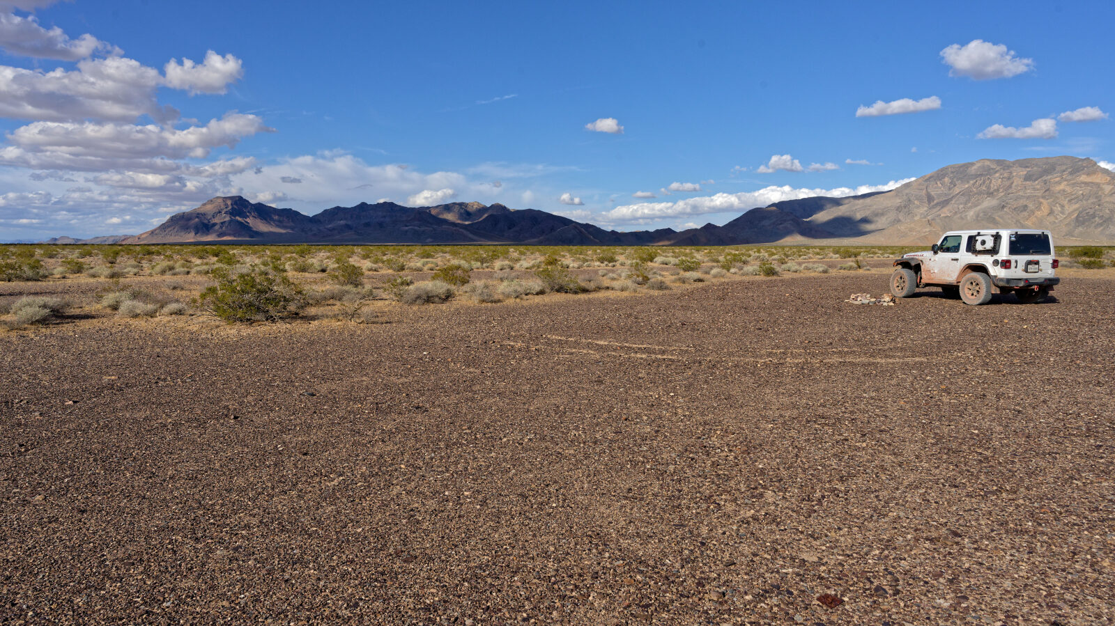
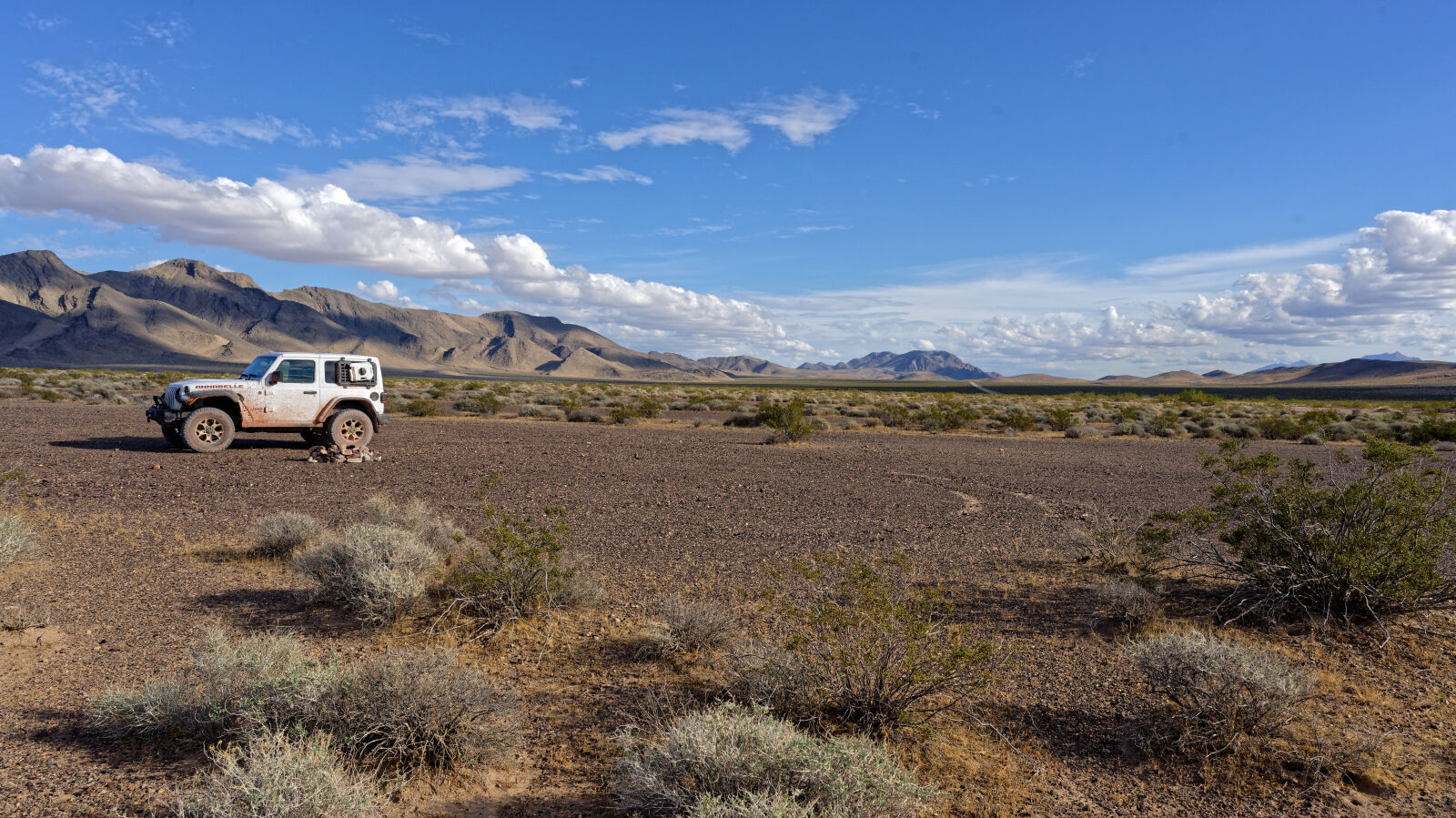
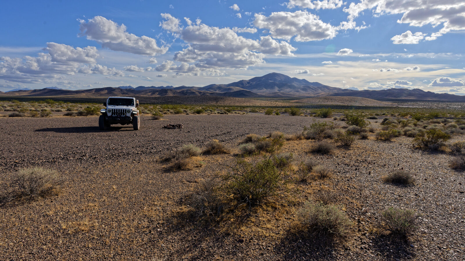
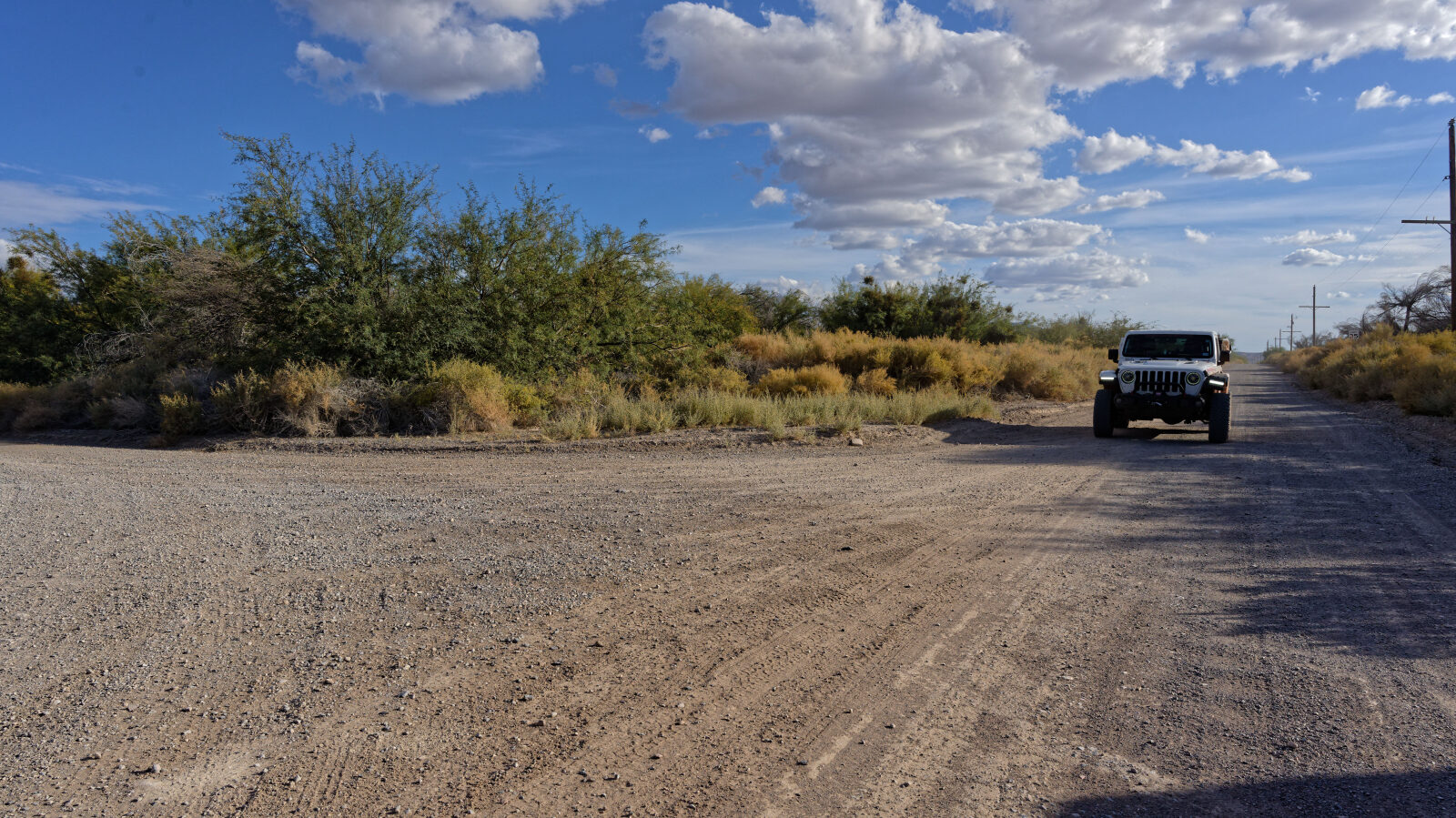
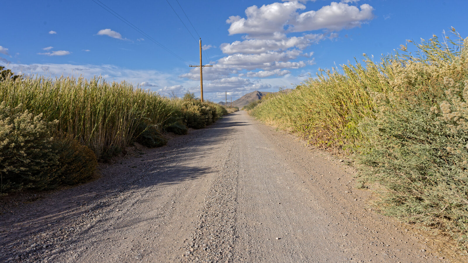
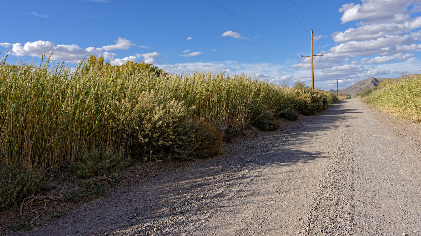
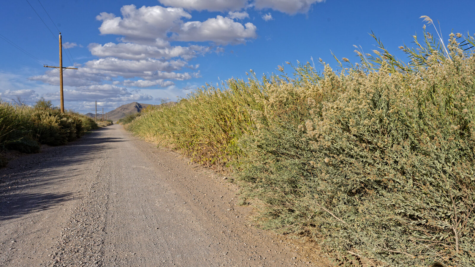
The road begins as a graded road and stays mostly dirt through open desert. Some stretches are a little rougher with loose rock. Near the north end the route crosses a rocky playa. The setting is flat and open with no shade, and mountains are visible in the distance. Several camp areas have a small hump at the entrance, and others are flat and open.
Highlights
Camping is the main draw. The log notes pullouts that hold from four or five rigs up to 15 to 20, all without shade, and some with good mountain views. One area has a good sunset. A sign near waypoint 5 covers no mesquite cutting. At a junction you can follow the paved main road to continue on Ash Meadows Road. The road crosses land managed by the US Fish and Wildlife Service (Ash Meadows refuge), Nye County and the BLM, so check the posted signs and rules for the area you are in.
Waypoints
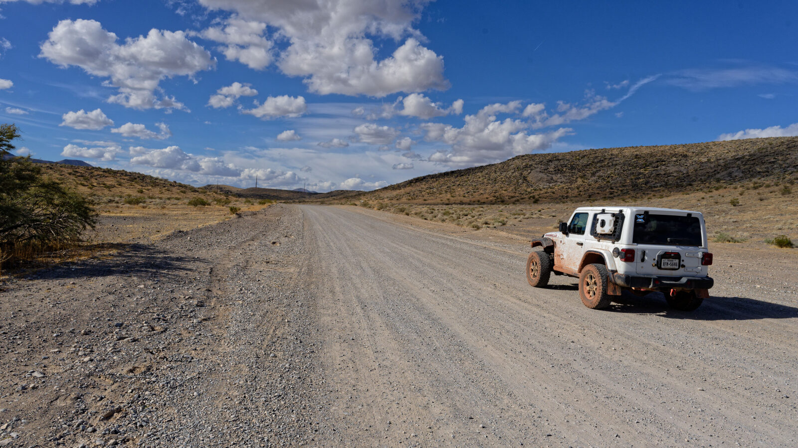
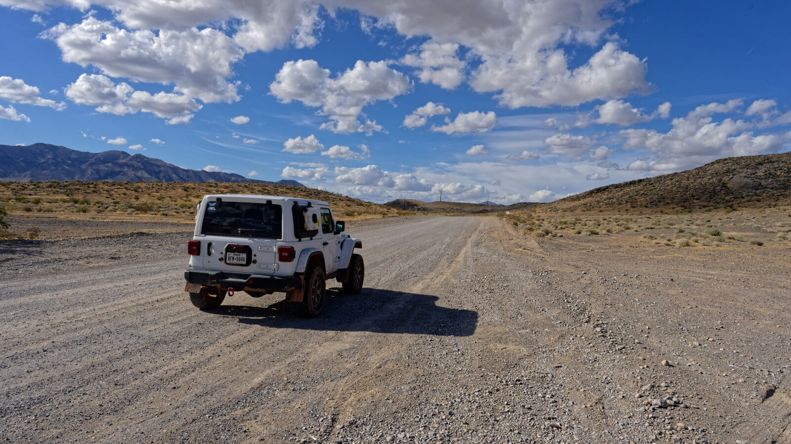
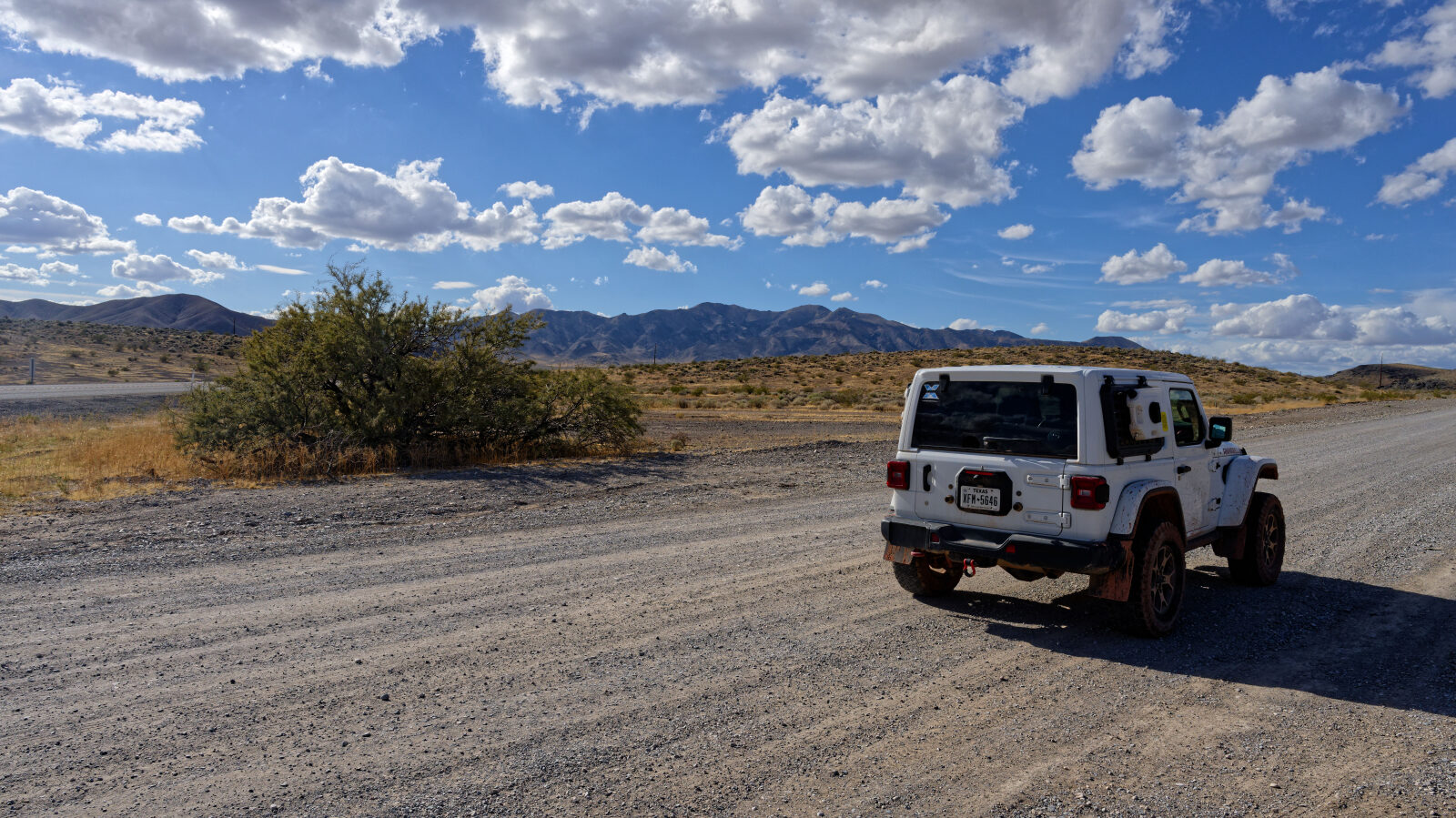
Waypoint 1 (36.16888, -116.10132)
Waypoint 2 (36.19407, -116.13425)
California is right over there, and you can see where the land turns green.
Waypoint 3 (36.21232, -116.14426)
There's no camping down this side road.
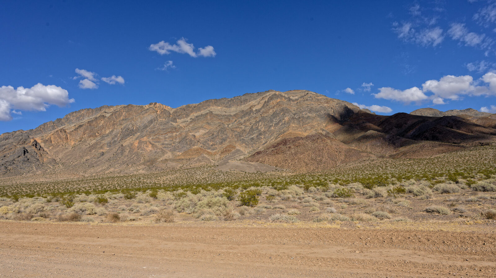
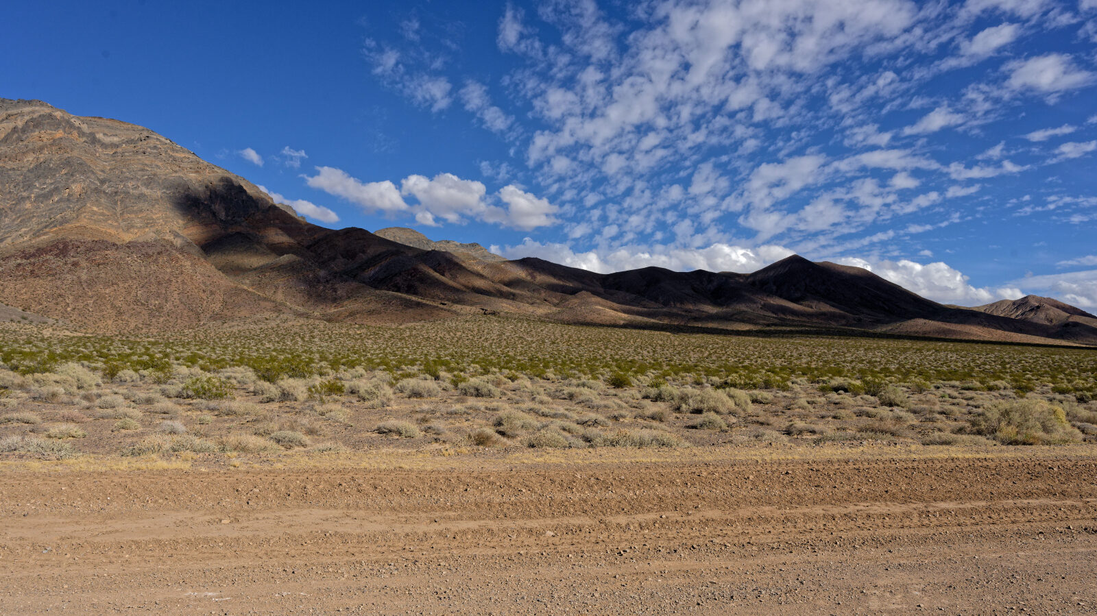
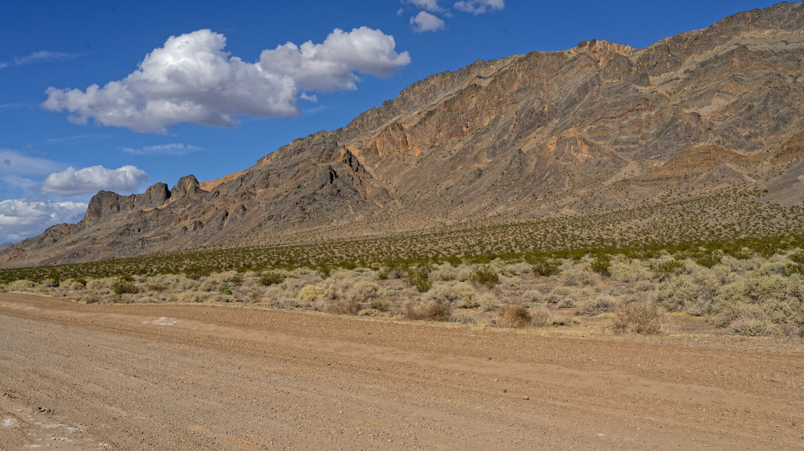
Waypoint 4 (36.24928, -116.16097)
Waypoint 5 (36.25769, -116.16462)
There's a sign here about no mesquite cutting
Waypoint 6 (36.26496, -116.17036)
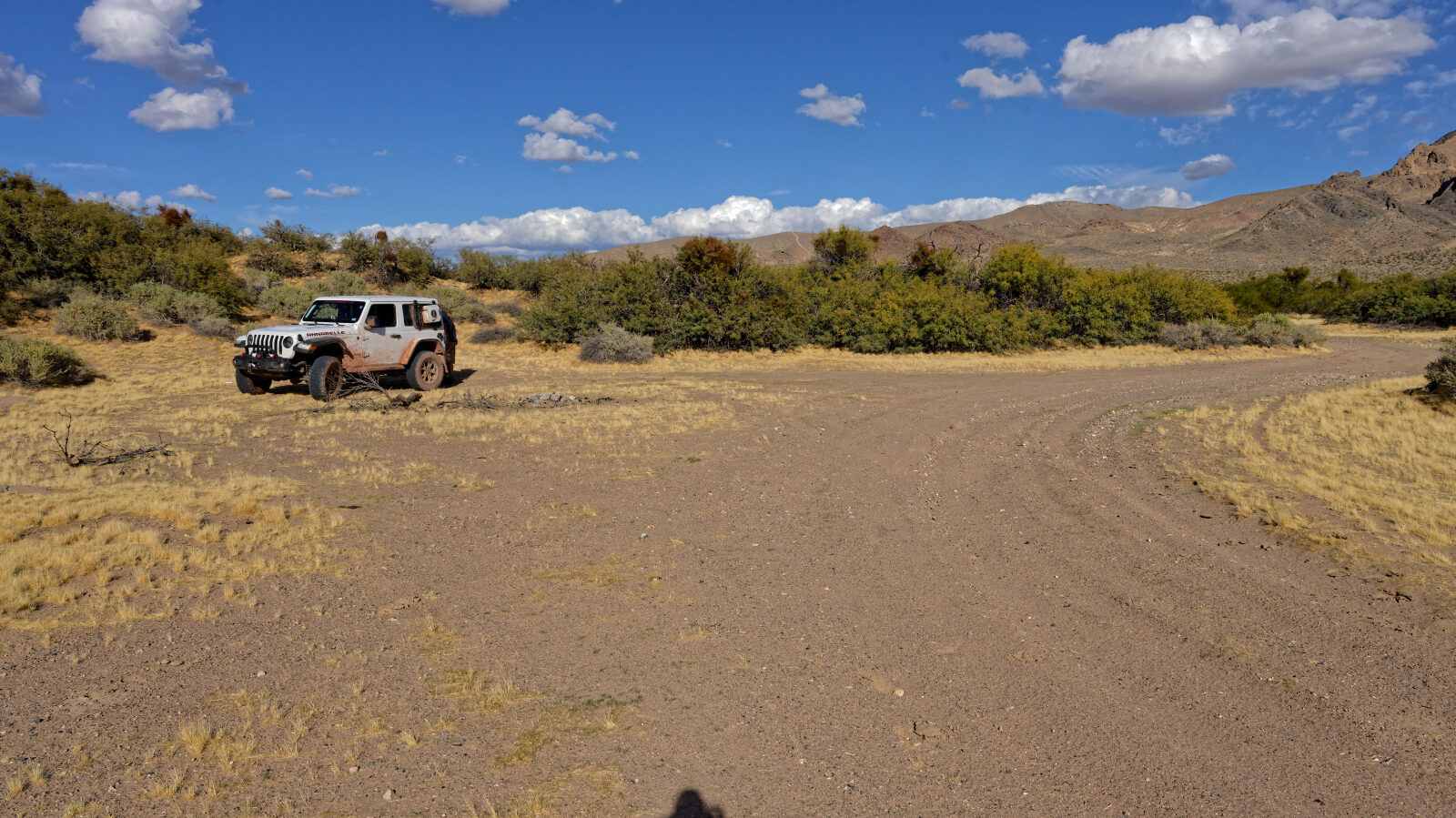
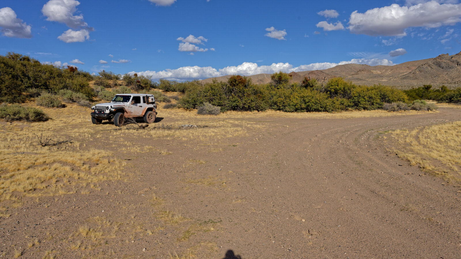
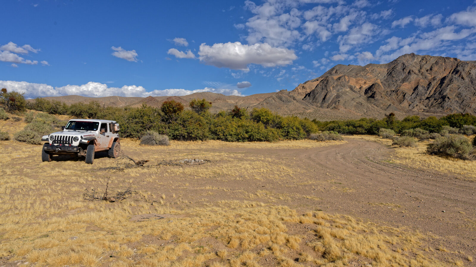
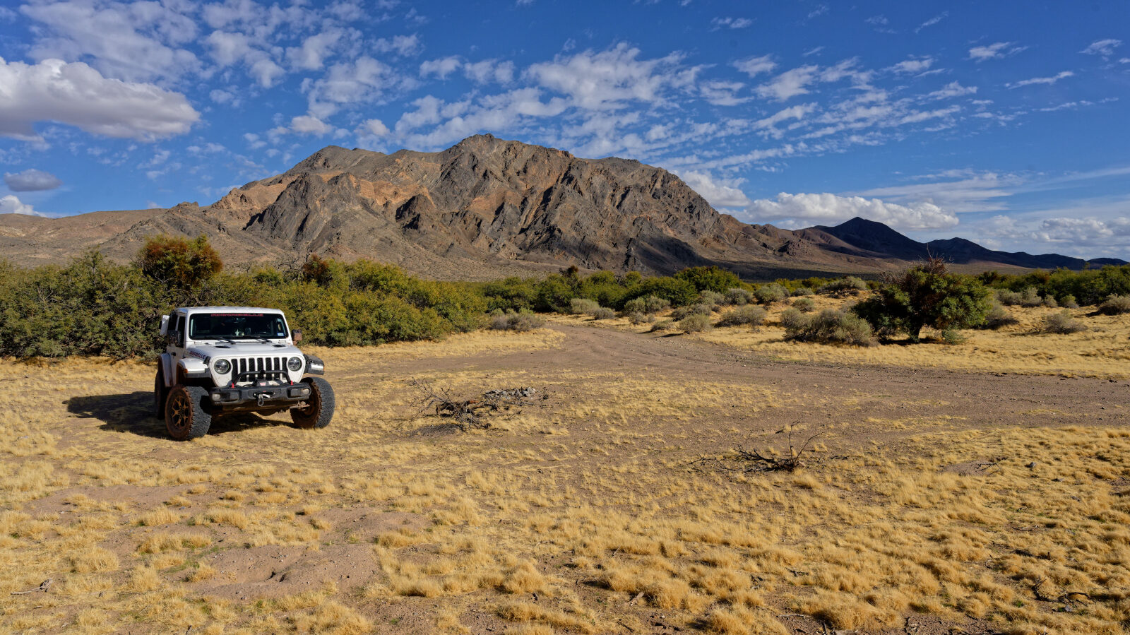
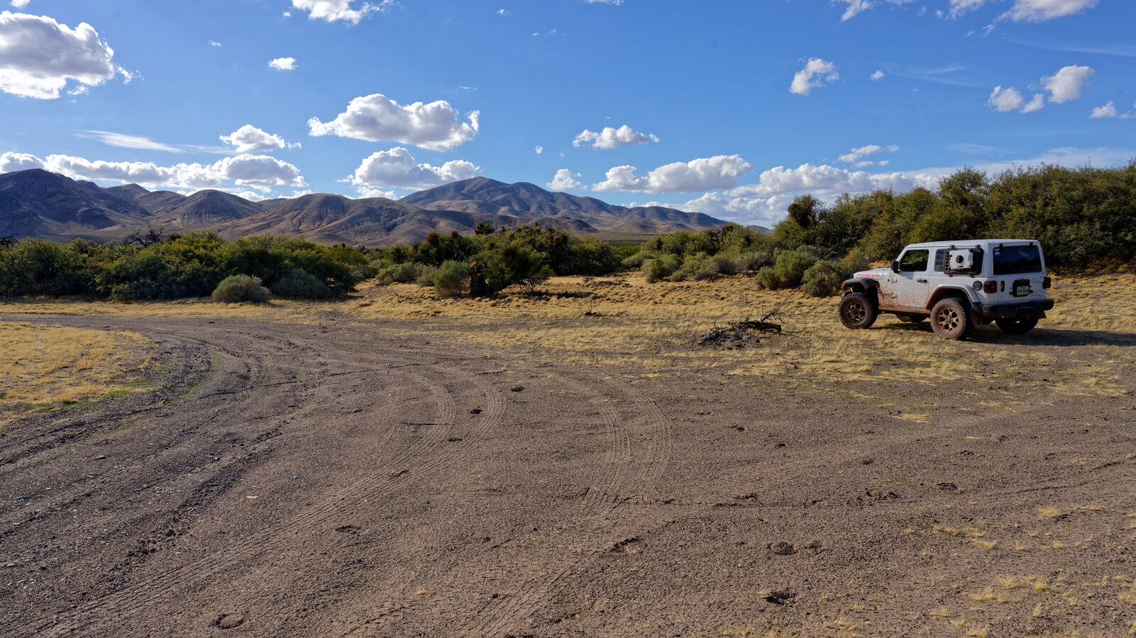
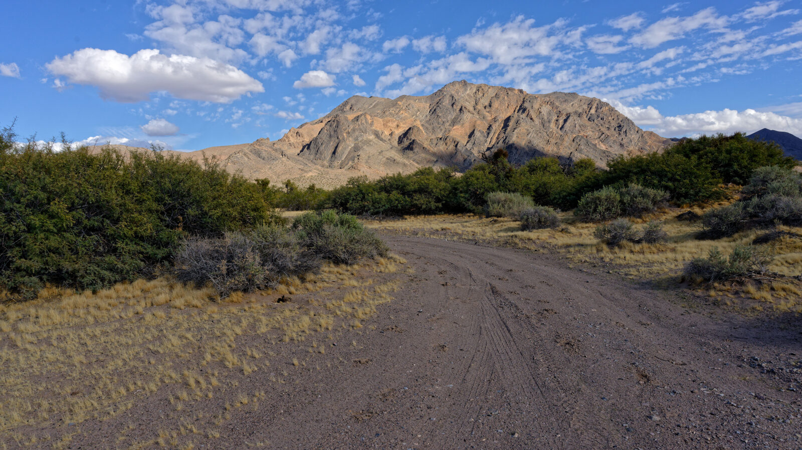
Waypoint 7 (36.26445, -116.17382)
Fun place to go, with a good sunset.
Waypoint 8 (36.26567, -116.17129)
To camp here with a bigger rig, it will be tricky and not every rig can make. You have to take it at a steep angle.
Waypoint 9 (36.29132, -116.18849)
Camp spot with room for over a dozen rigs of any size. There is a little hump getting in, no shade and little privacy with a crowd. Pretty flat.
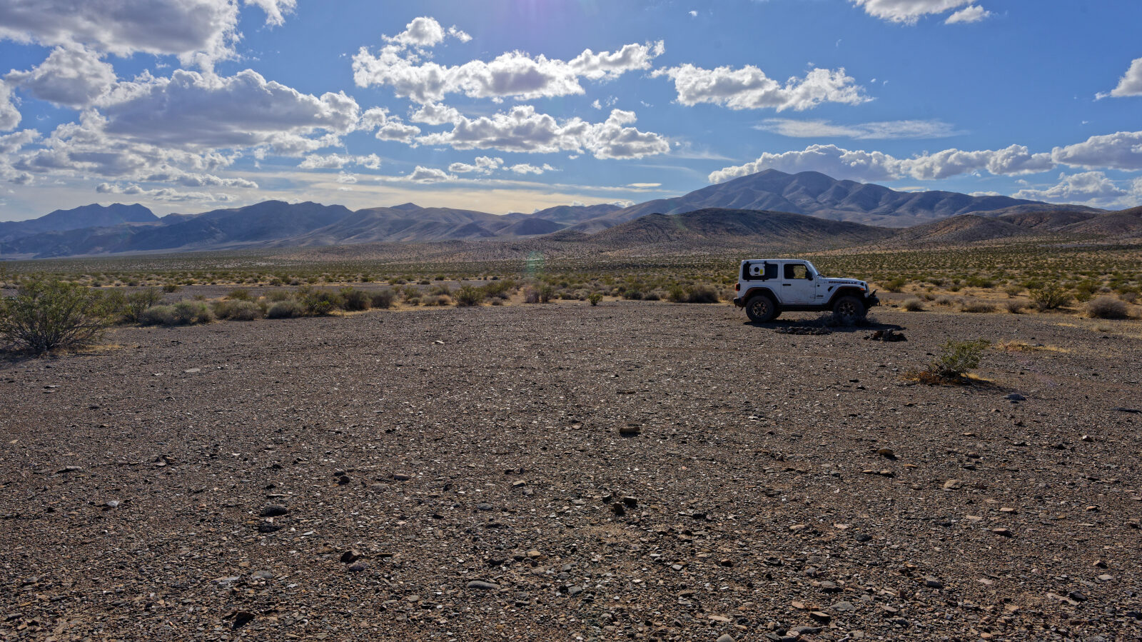
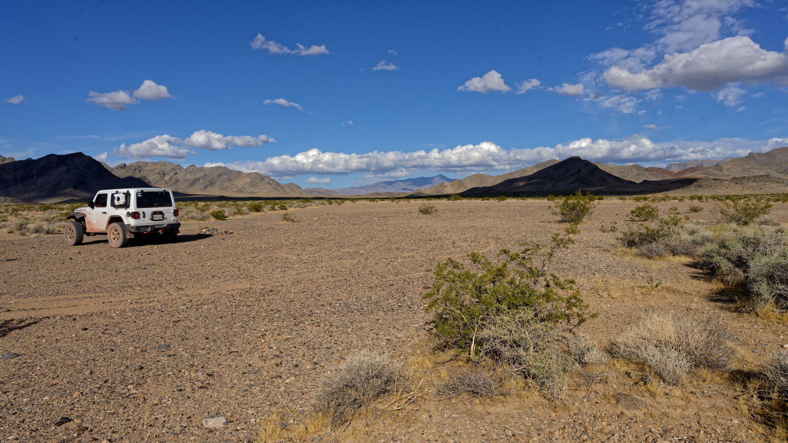
Waypoint 10 (36.29190, -116.18816)
Waypoint 11 (36.29550, -116.18755)
Level 1 spot.
Waypoint 12 (36.30117, -116.19181)
A little bit rougher here, but not hard.
Waypoint 13 (36.30221, -116.19319)
Waypoint 14 (36.31742, -116.20816)
Camp spot with room for four or five rigs. No shade.
Waypoint 15 (36.33445, -116.22324)
Rocky playa. Camp area fits 15 to 20 rigs, with no hump so any size rig can get in. Little privacy and close to the road, but there are spots farther away. Great mountain view.
Waypoint 16 (36.39263, -116.26797)
From here you can see where the springs.
Waypoint 17 (36.39817, -116.30202)