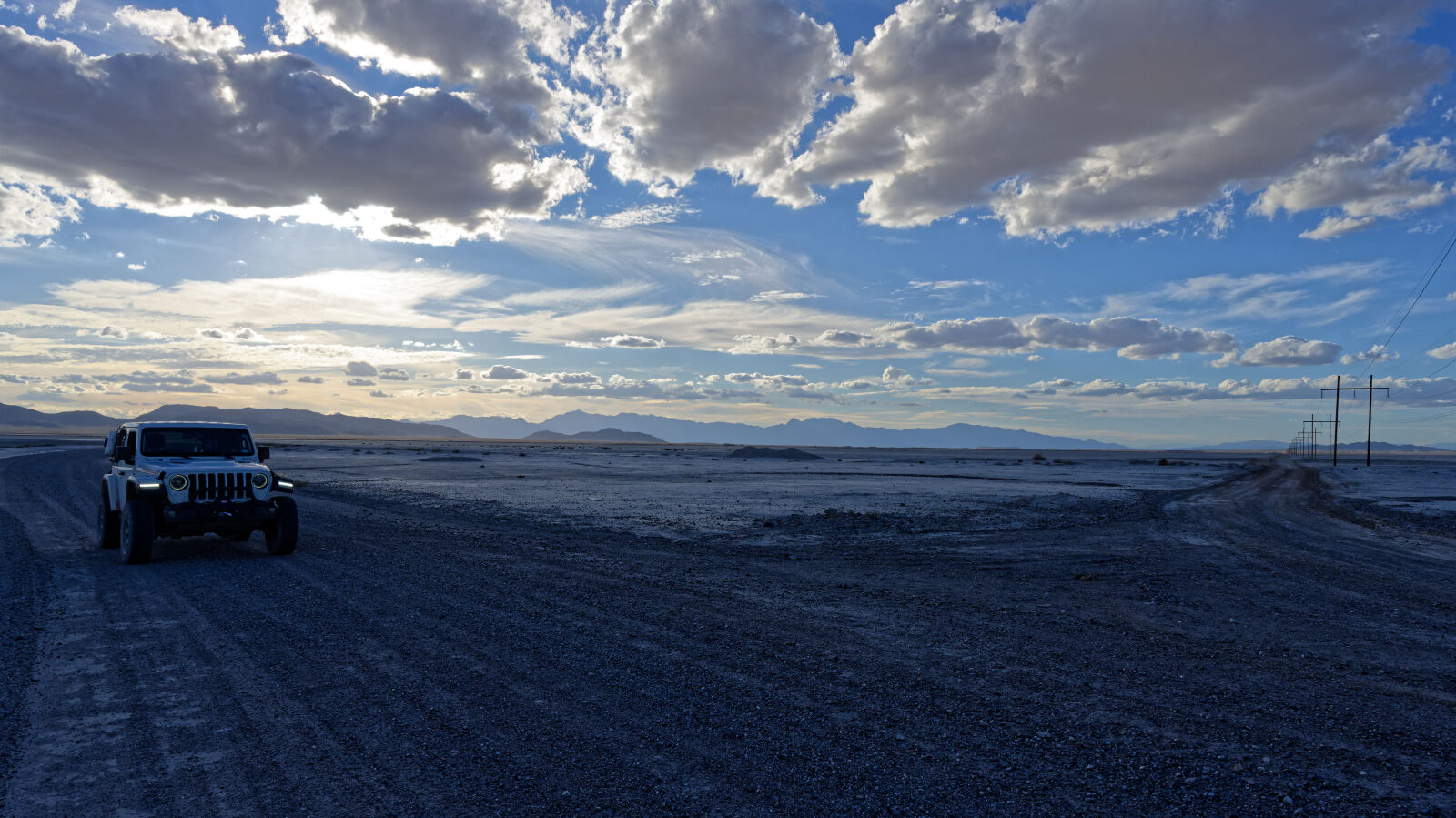
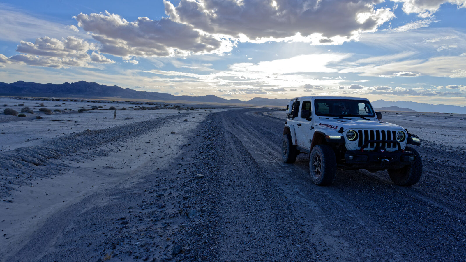
Devils Hole Road - Level 1
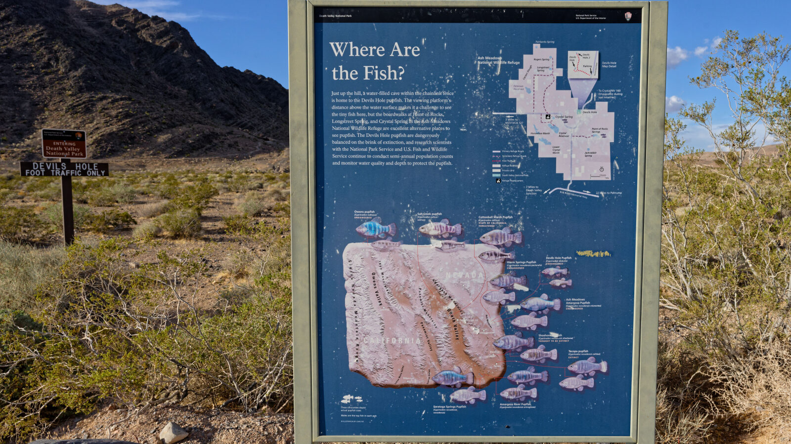
Devils Hole Road runs through Ash Meadows National Wildlife Refuge in the Amargosa Valley of southern Nevada, close to the California line. The refuge is a desert oasis fed by springs, and the road gives access to one of its best-known features, Devils Hole.
The route is a simple backcountry drive suited to a relaxed afternoon. It makes a good stop for photos and for learning about the refuge before heading on.
Map
The interactive map needs JavaScript. Every waypoint is also listed below.
Trail Summary
- LocationAmargosa Valley, Nevada
- Distance7.5 miles
- DifficultyLevel 1
- Elevation2,188 ft to 2,450 ft with a 262 ft change
- Travel Time31 minutes
Difficulty
Suitable for high clearance 2WD
Level 1 is an easy rating. Stock equipment is enough, and high clearance 2WD vehicles can drive it. Expect a dirt or rocky road with gentle grades and a width that generally fits two vehicles. Any rocks, dips or ruts are shallower than about 5 inches. The driver's log calls out no obstacles or sections that need special attention.
Terrain
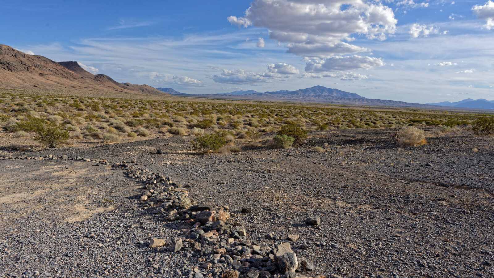
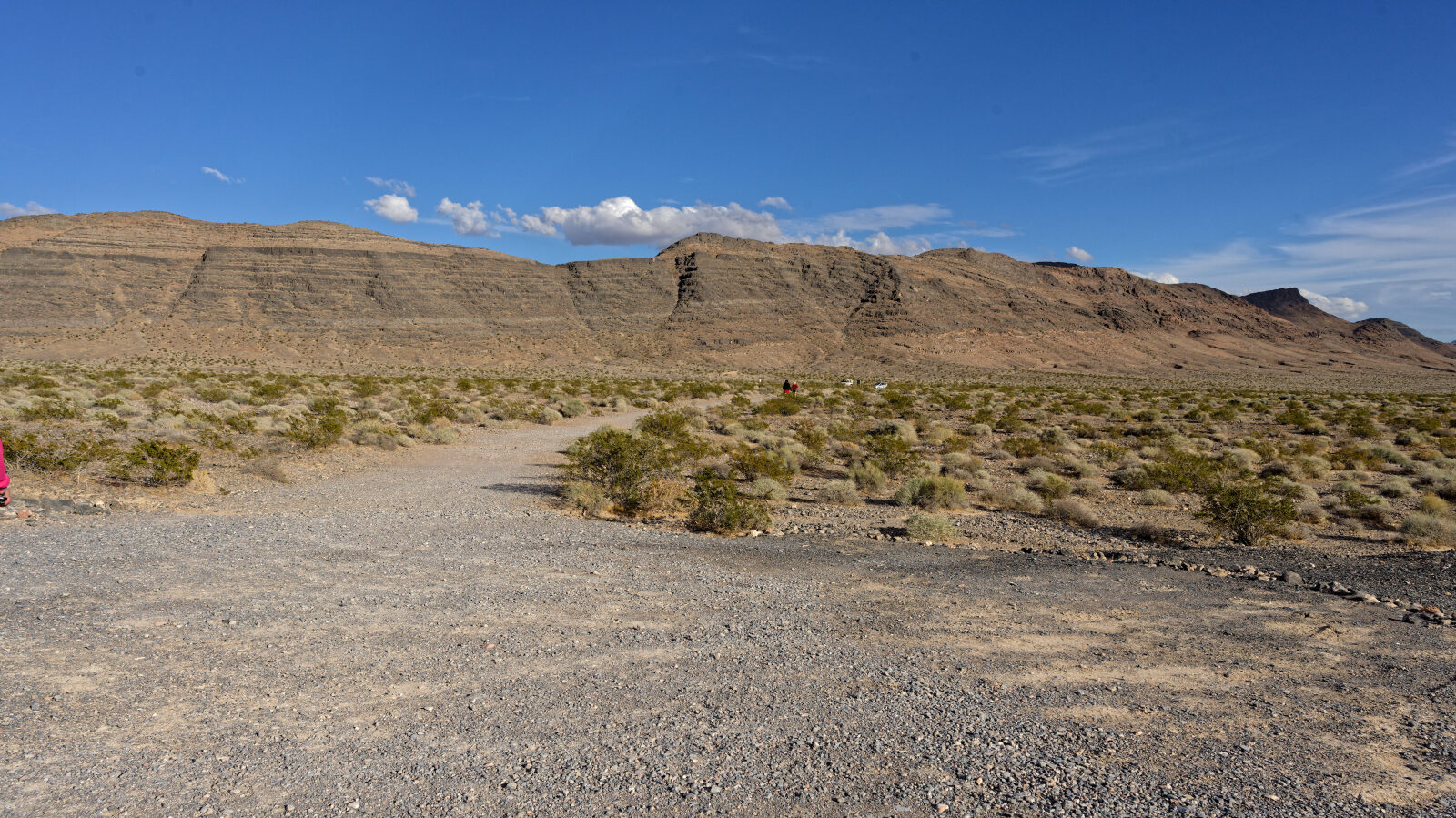
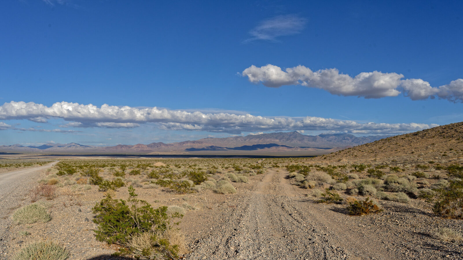
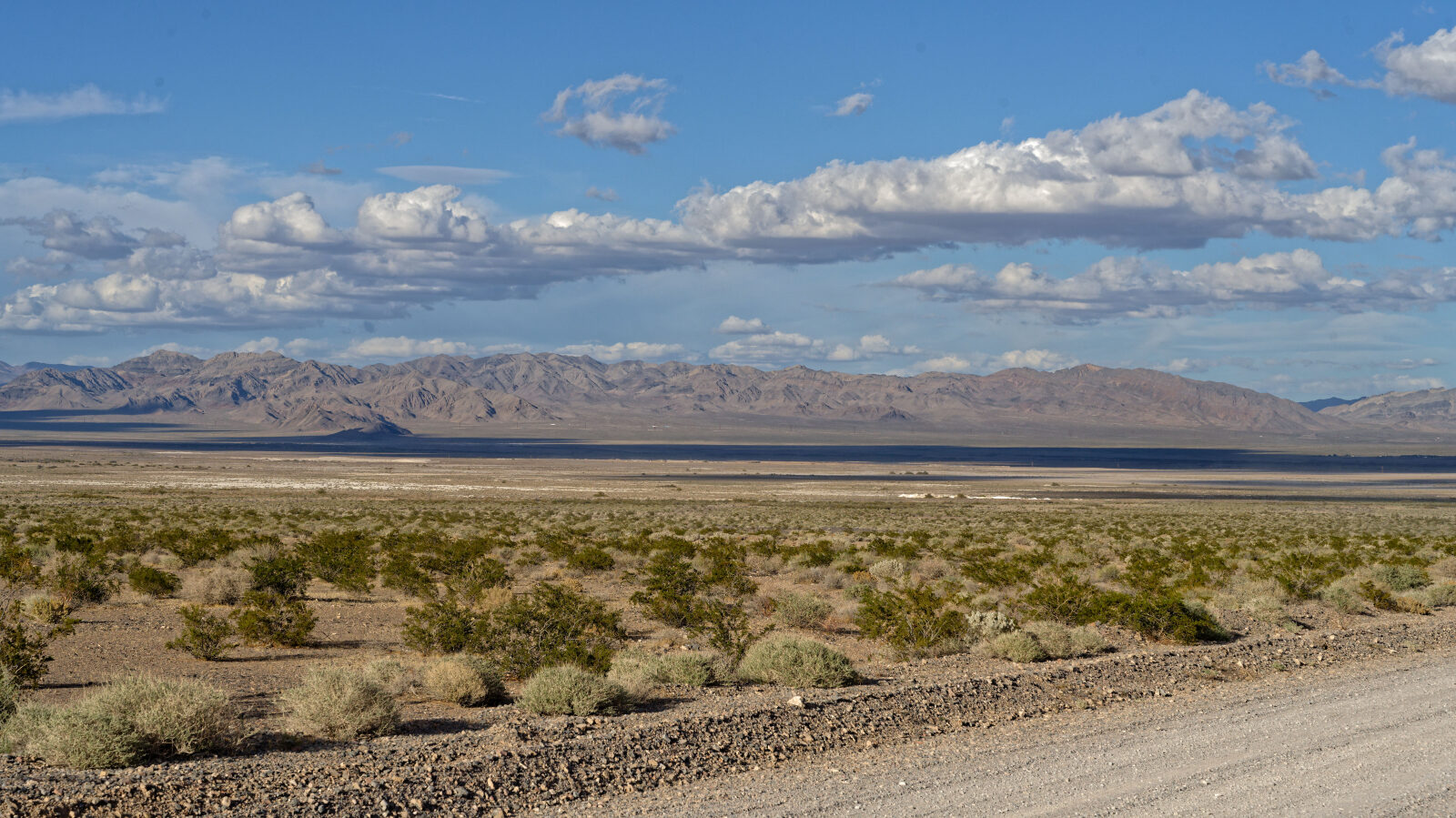
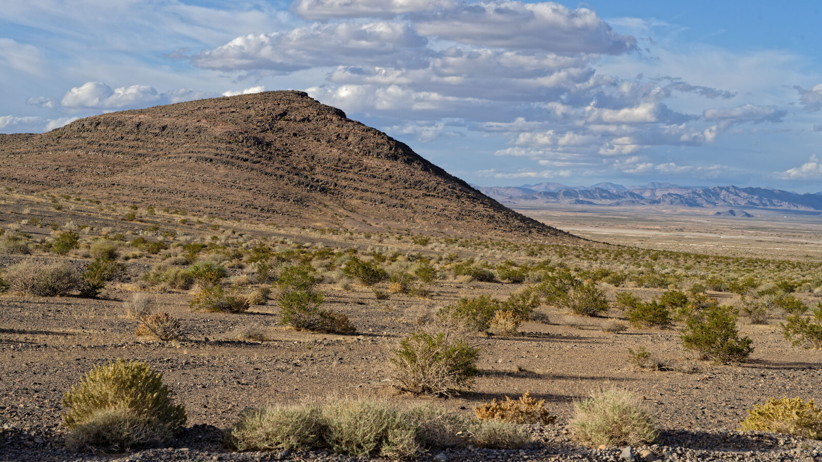
The road crosses open Mojave Desert basin floor in the Amargosa Valley, with a surface of dirt and some rock. The elevation change is small. The setting is flat desert scrub with spring-fed wetland areas and mountains in the distance.
Highlights
Devils Hole is a good stopping point and a short walk for photos. The small parcel around it belongs to Death Valley National Park, even though it sits inside the refuge. Overnight camping is prohibited on the refuge, as listed in the refuge's rules and policies, so plan to camp elsewhere.
Waypoints
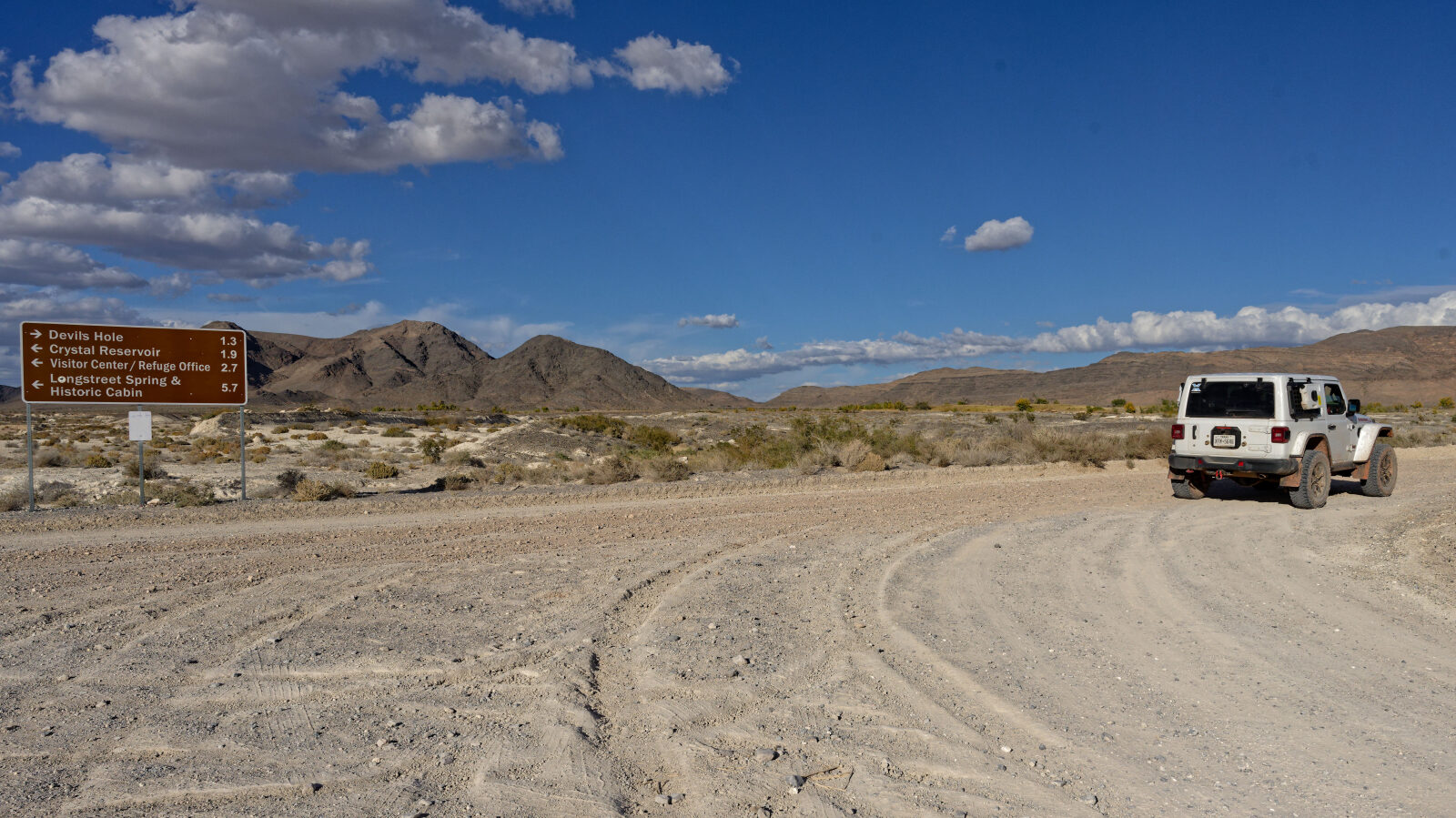
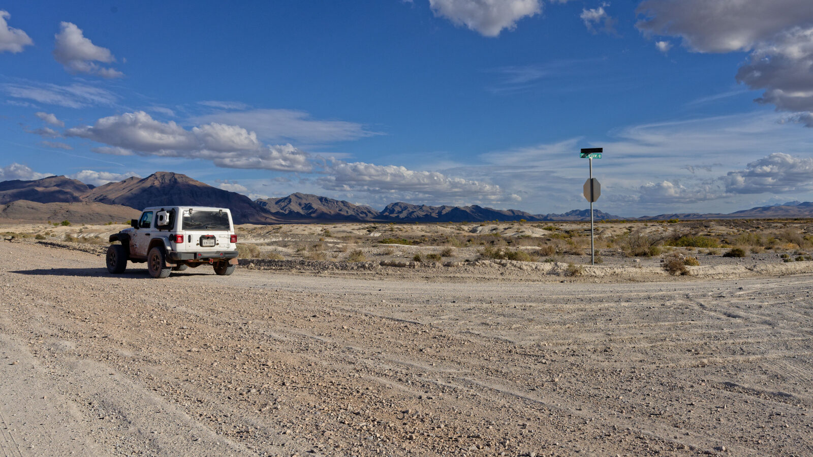
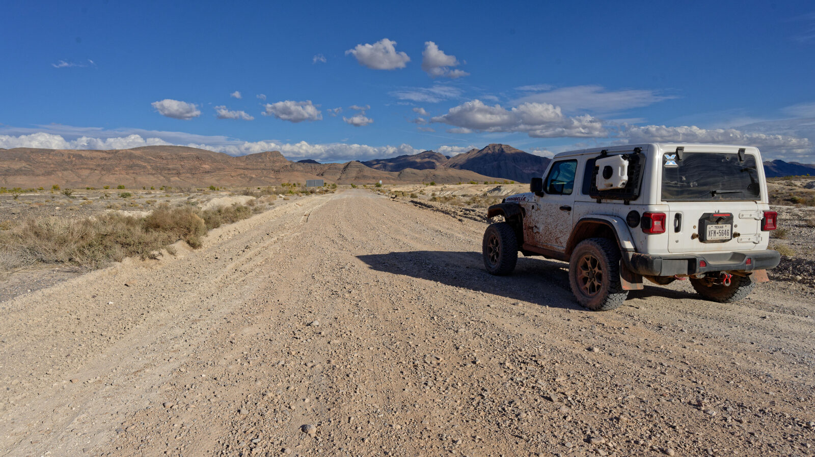
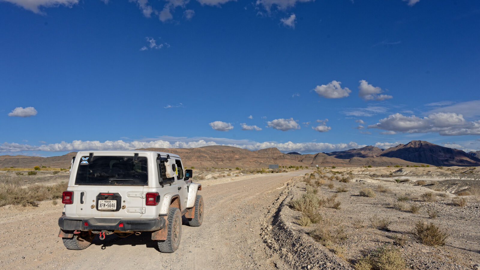
Waypoint 1 (36.40962, -116.30179)
Start of Devils Hole Road, inside Ash Meadows National Wildlife Refuge. Camping rules apply here, so check them before the trip.
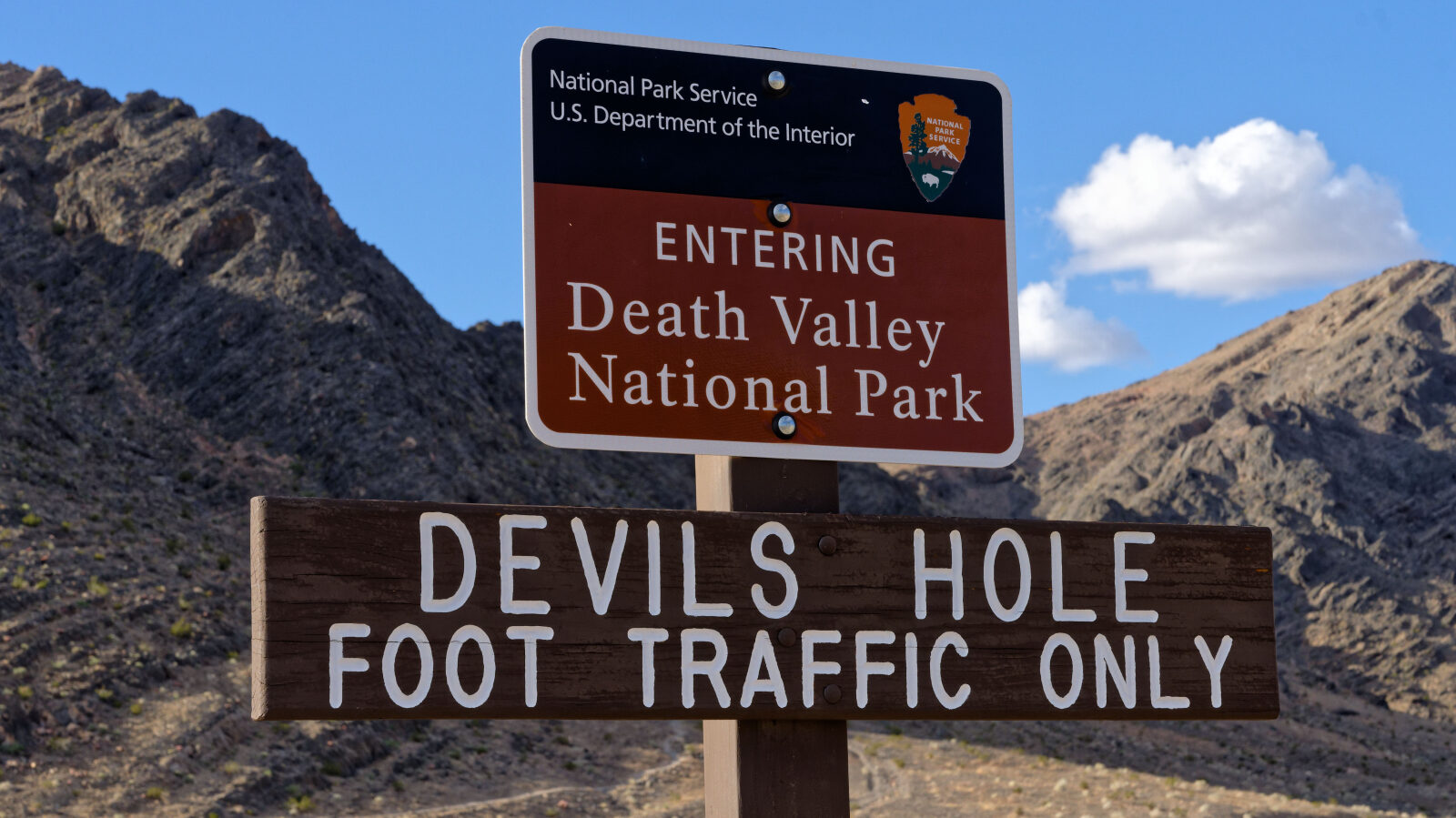
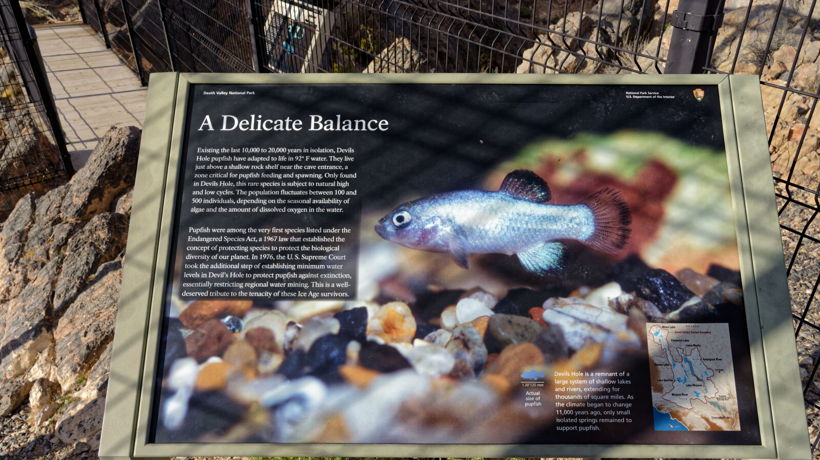
Waypoint 2 (36.42460, -116.28897)
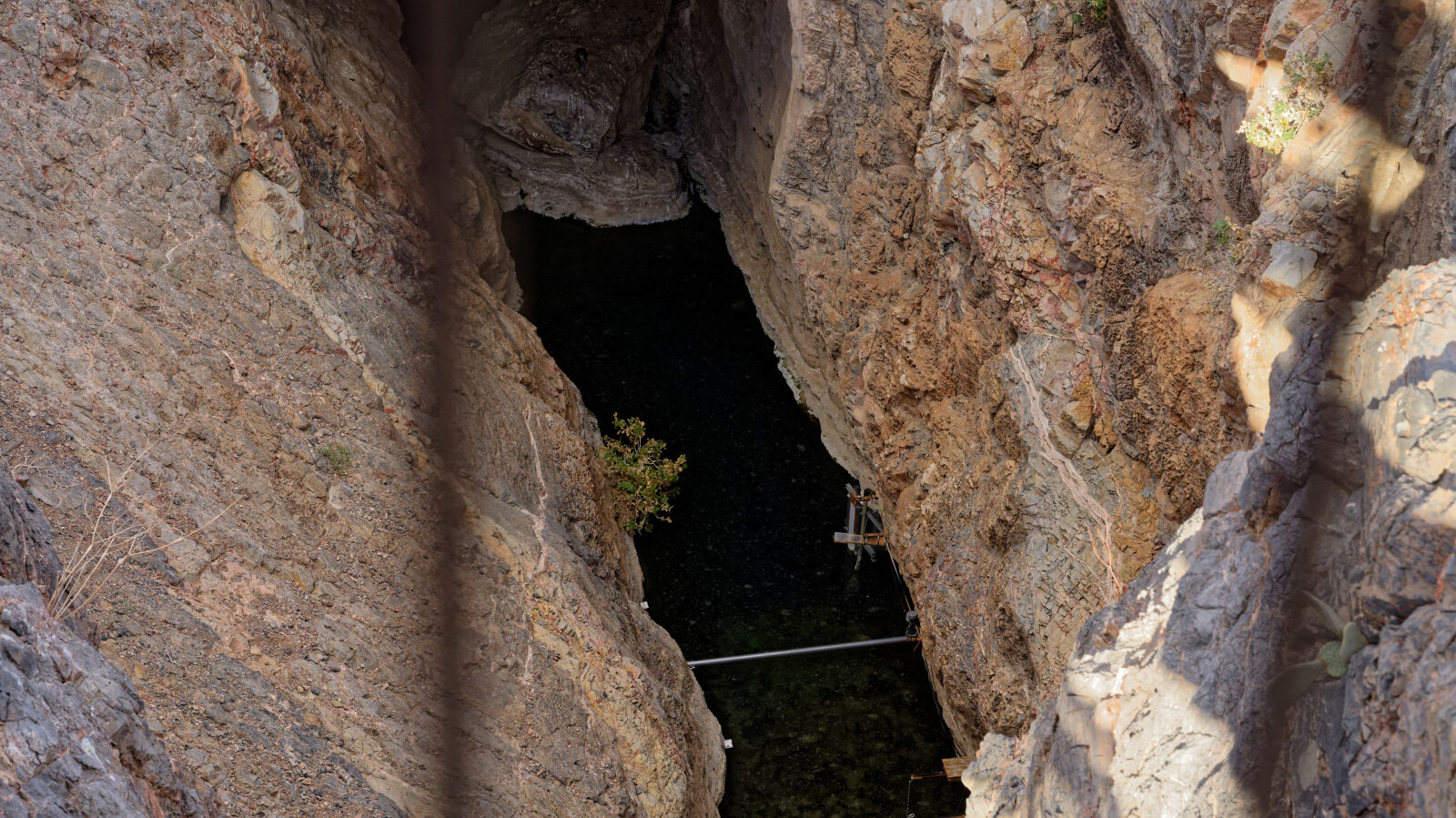
Devils Hole is a good stop for pictures. This small square is part of Death Valley National Park, though it sits inside the refuge.
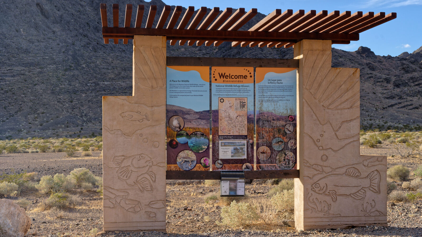
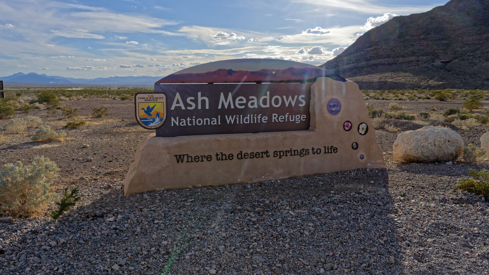
Waypoint 3 (36.42788, -116.28813)
No camping is allowed anywhere inside Ash Meadows National Wildlife Refuge, so camp somewhere else.
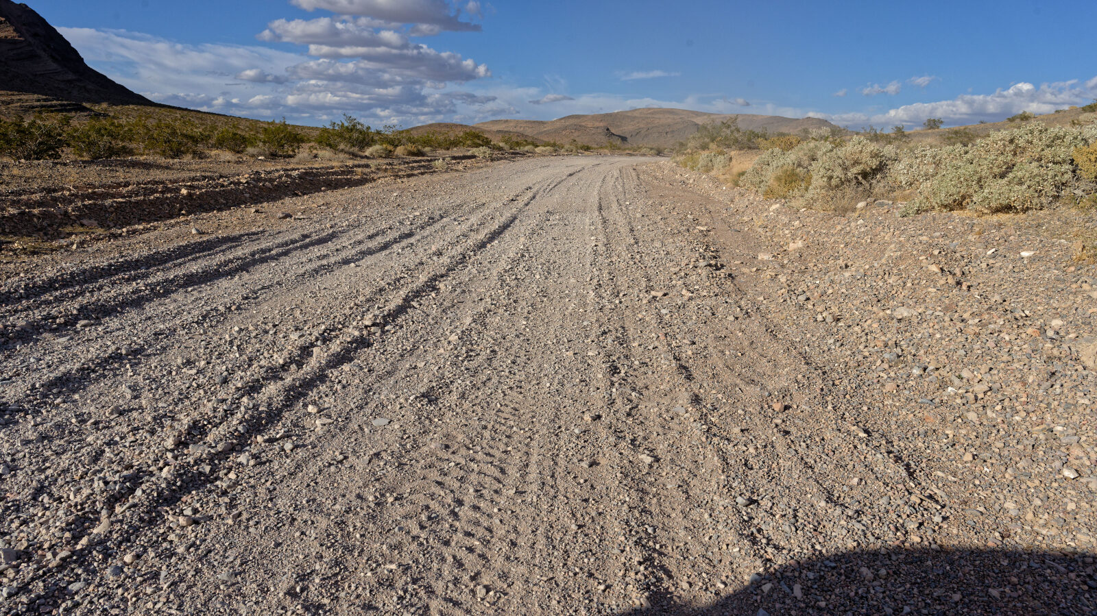
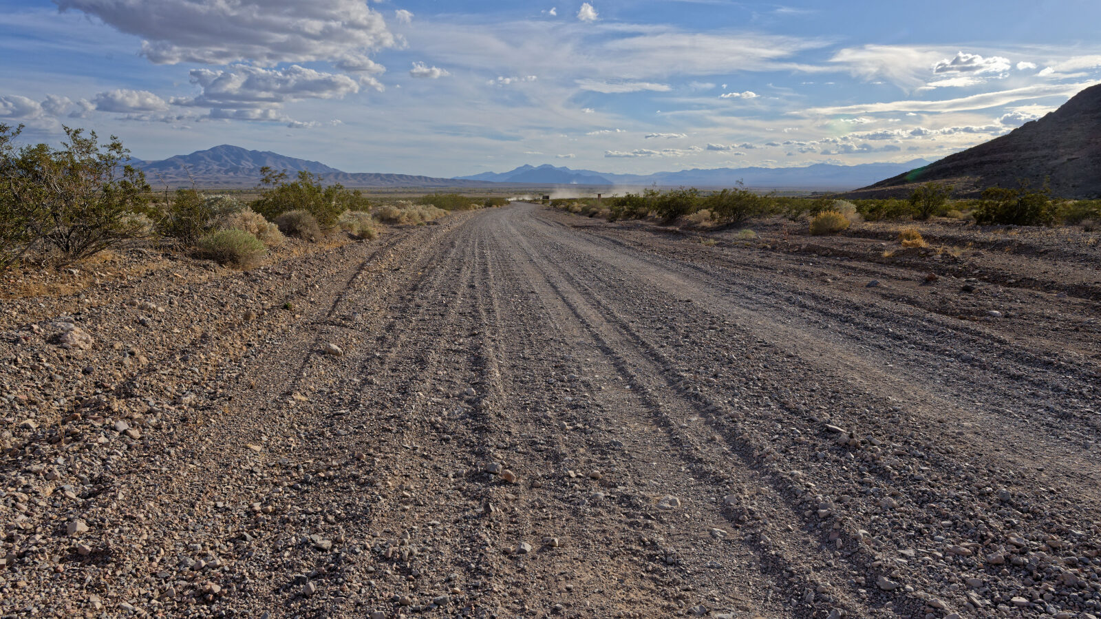
Waypoint 4 (36.42959, -116.28755)
Waypoint 5 (36.44680, -116.26900)