IMV Alt Road - Level 1
IMV Alt Road is a dirt road across the Amargosa Desert in Nevada, near Amargosa Valley. It runs west through open desert near the edge of Ash Meadows National Wildlife Refuge, with a stop at Fairbanks Springs along the way.
The road ends at a signed junction where another trail continues. It makes a straightforward alternate route for anyone exploring the refuge area.
Map
The interactive map needs JavaScript. Every waypoint is also listed below.
Trail Summary
- LocationAmargosa Valley, Nevada
- Distance13.3 miles
- DifficultyLevel 1
- Elevation2,099 ft to 2,283 ft with a 184 ft change
- Travel Time25 minutes
Difficulty
Suitable for high clearance 2WD
Level 1 is easy and suitable for high clearance 2WD. Stock equipment is sufficient. Expect dirt and some rocky sections with dips or ruts under 5 inches and gentle grades with good traction. The road is typically two vehicles wide. The driver's log does not call out any obstacles or sections needing special attention.
Terrain
The road surface is gravel, running through open desert in the Amargosa Desert.
Highlights
Fairbanks Springs is a short hike down from the road to a set of springs with trees and greenery, which stands out against the dry desert. The driver says it is worth the walk. Near the end, a sign reading IMV marks the junction with the next trail.
Waypoints
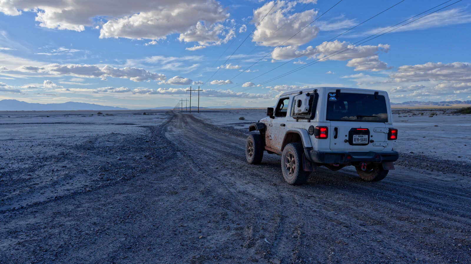
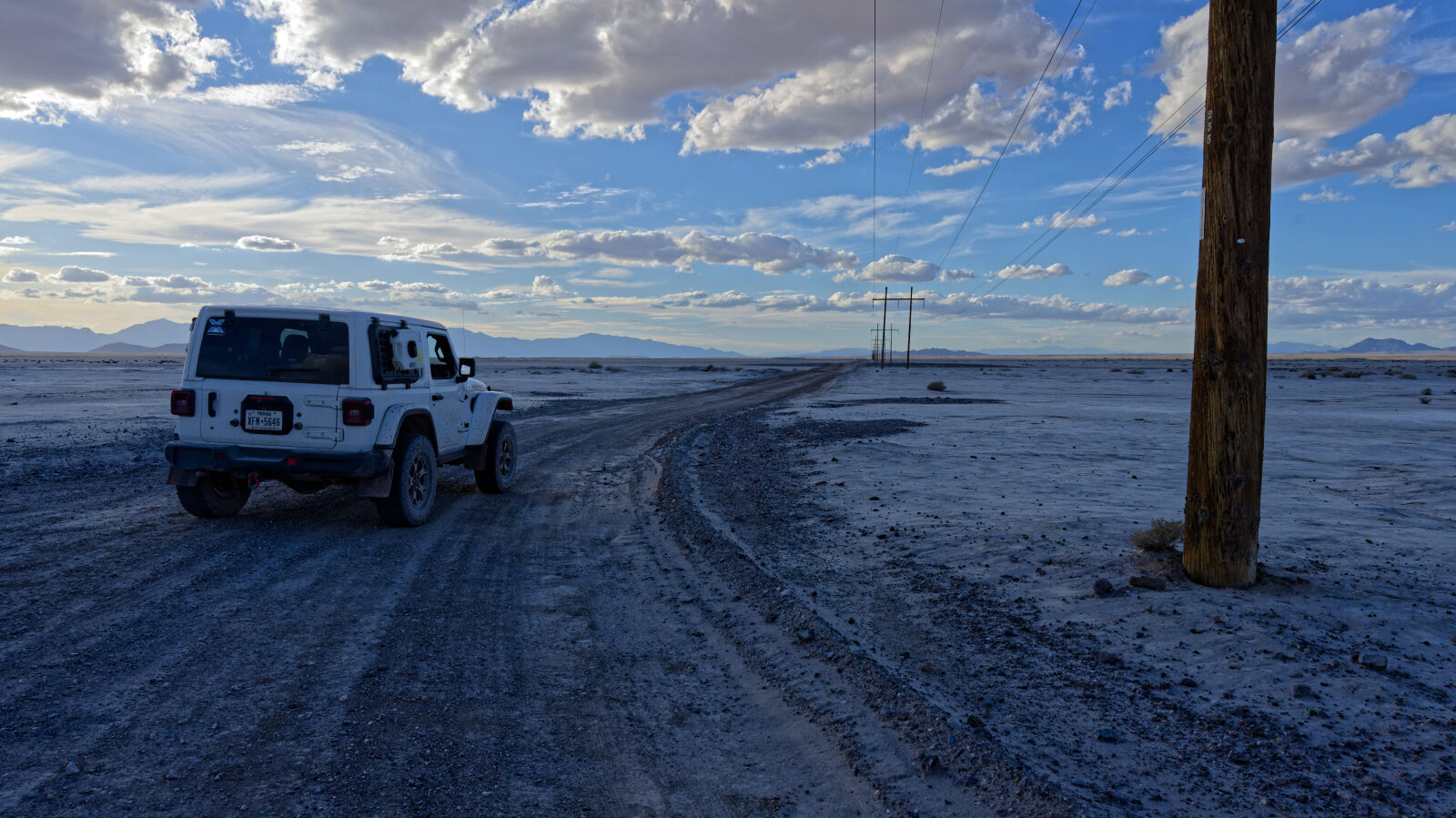
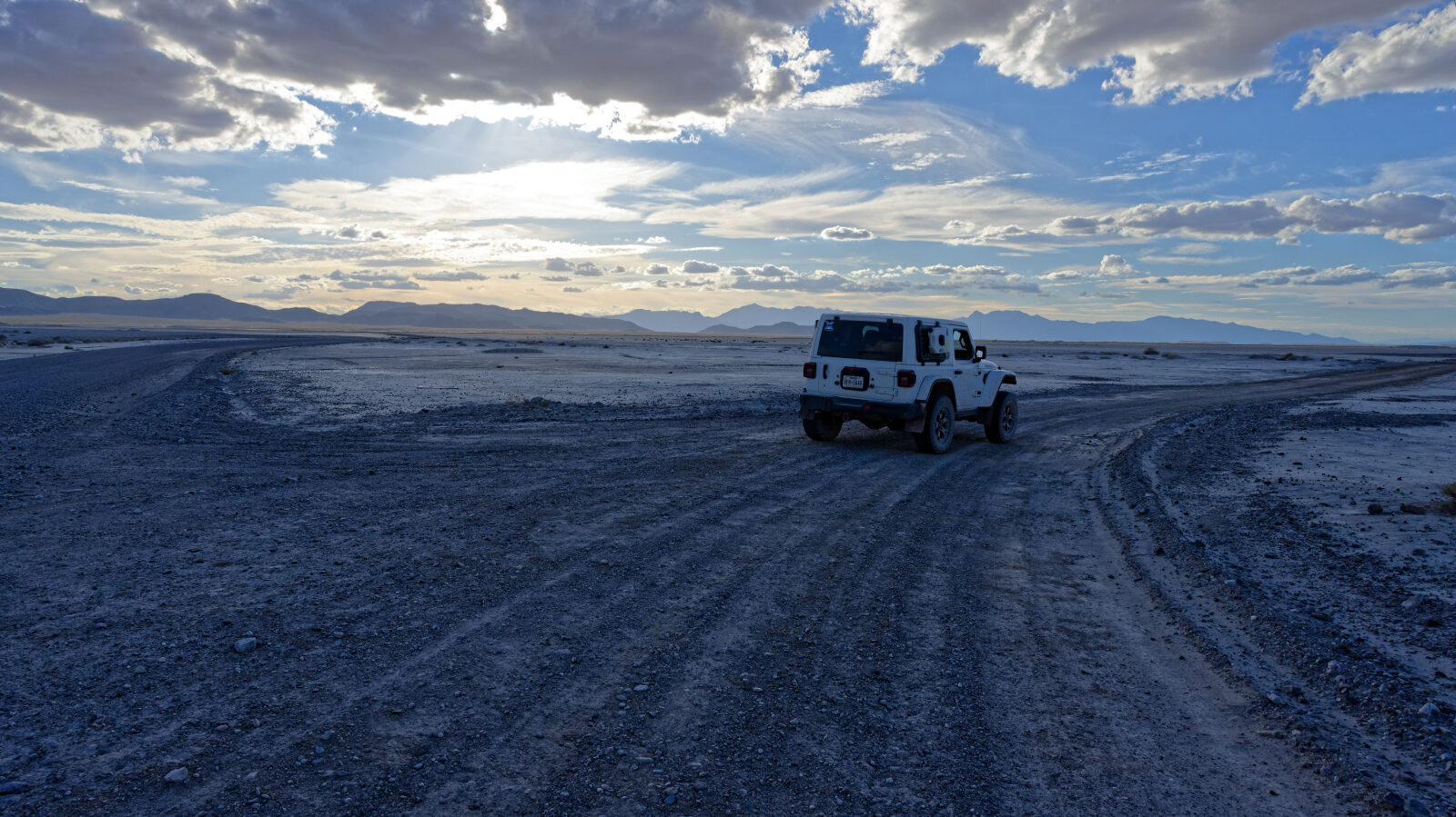
Waypoint 1 (36.48336, -116.21558)
Start of IMV Alt Road.
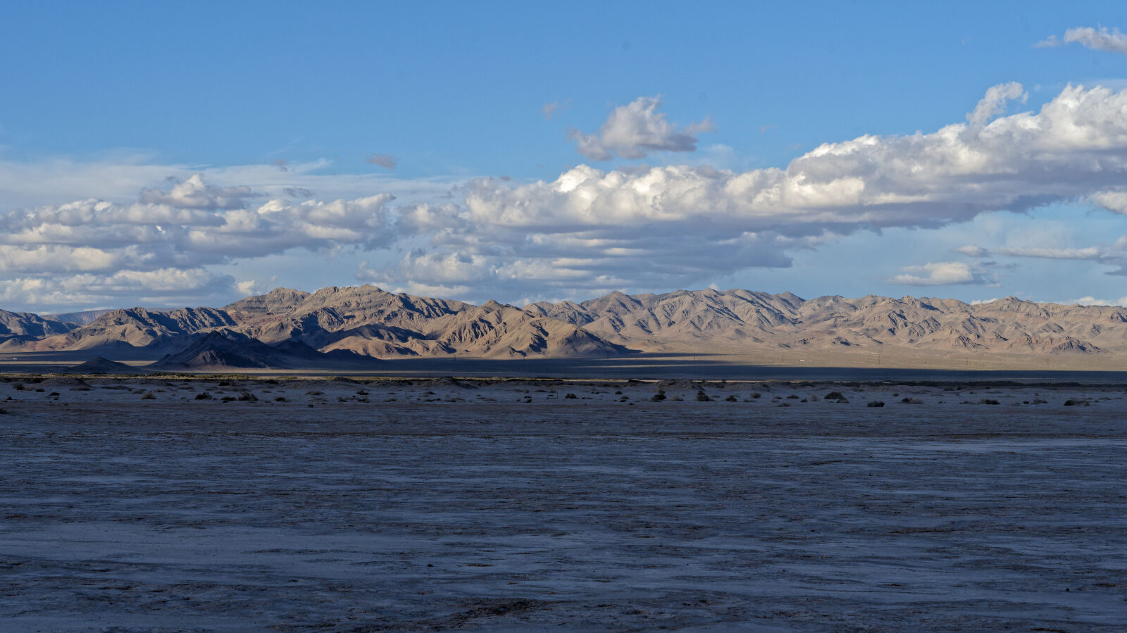
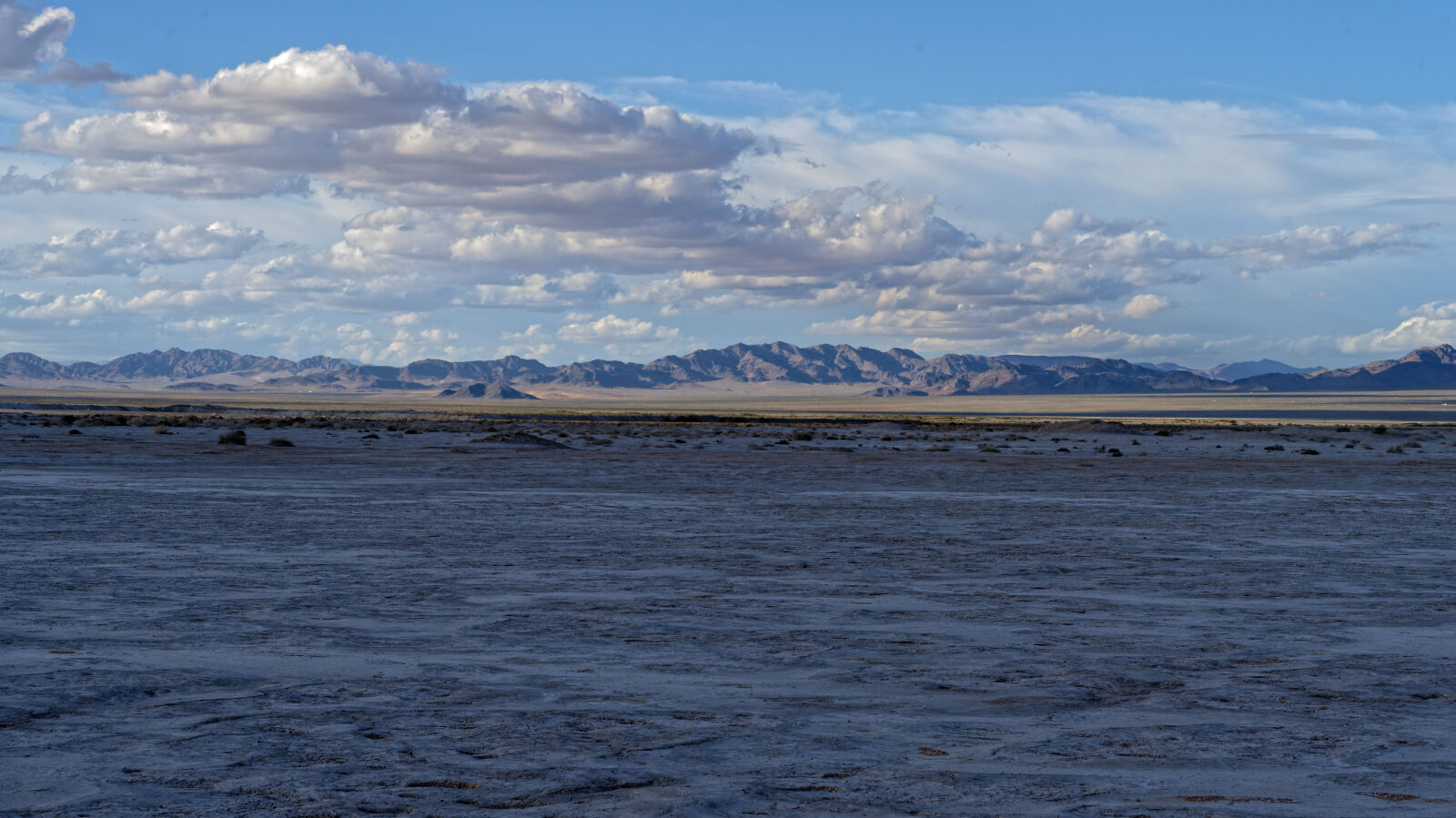
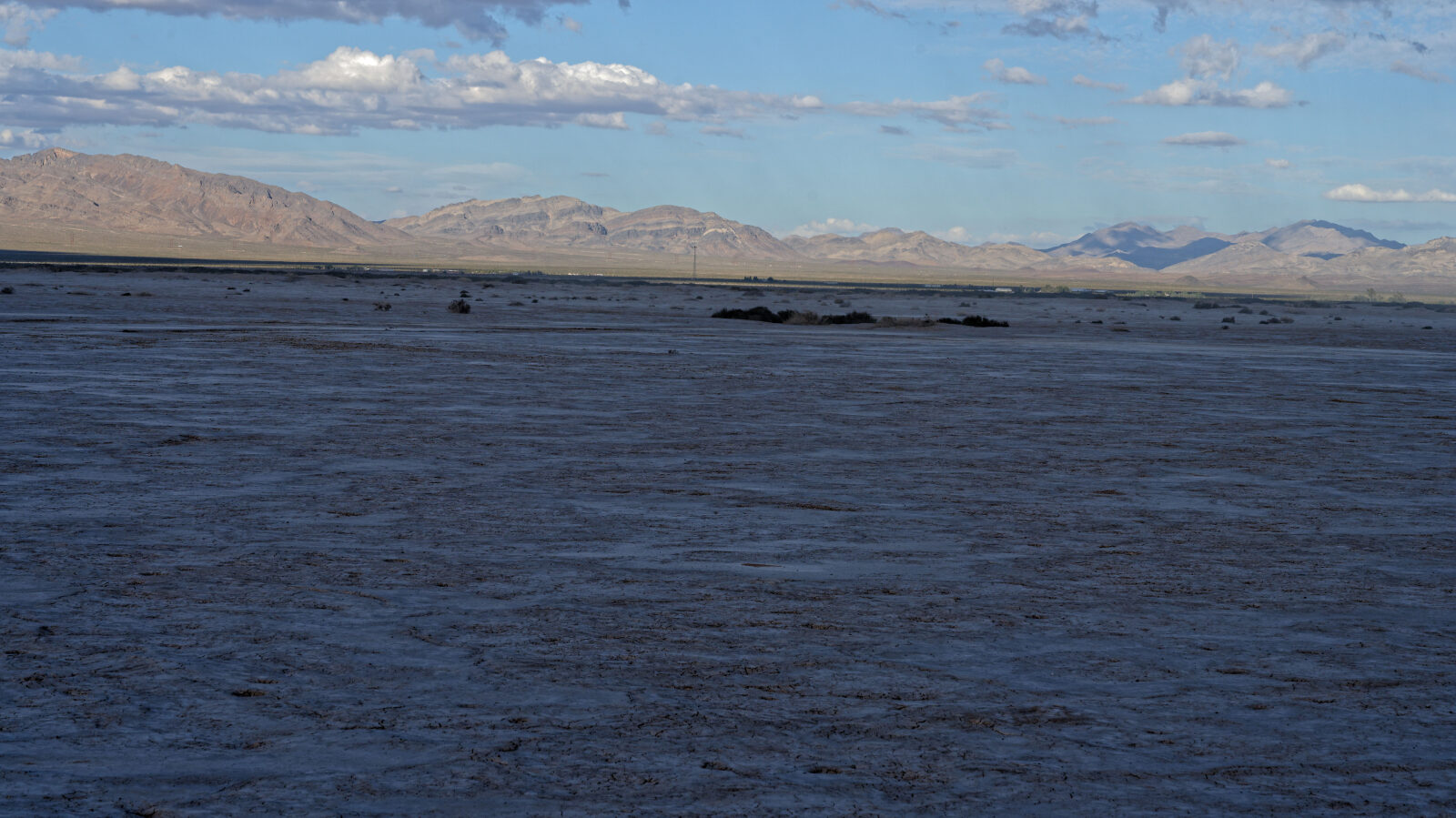
Waypoint 2 (36.48656, -116.22495)
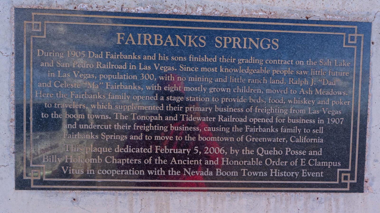
Waypoint 3 (36.49160, -116.33883)
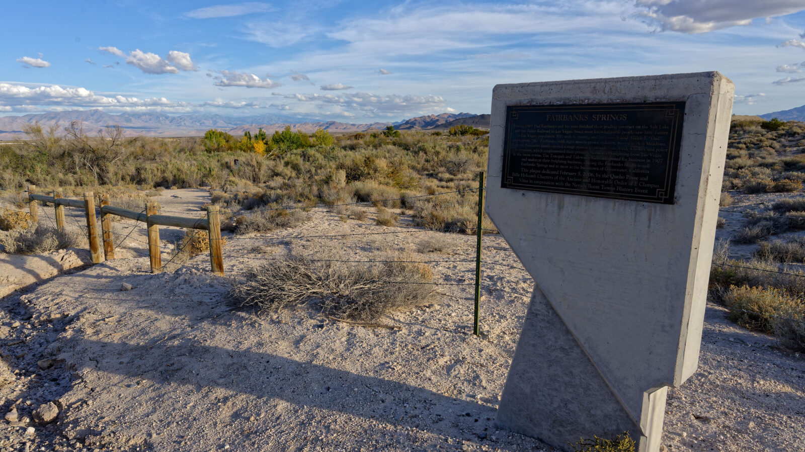
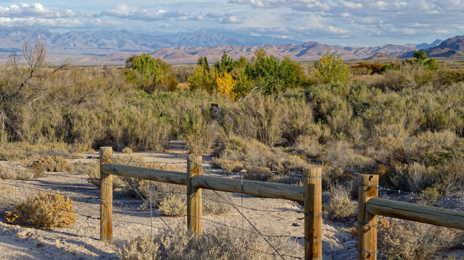
Waypoint 4 (36.49072, -116.34274)
Fairbanks Springs, part of Ash Meadows National Wildlife Refuge. A short hike leads down to the springs, with trees and greenery. This is also the corner of the refuge.
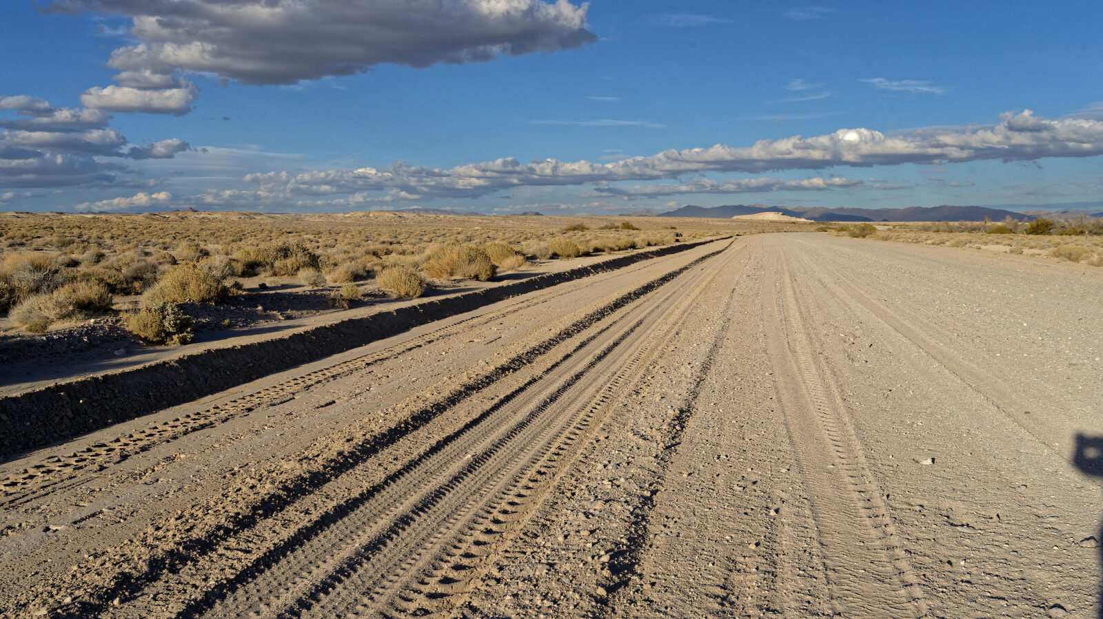
Waypoint 5 (36.48004, -116.35849)
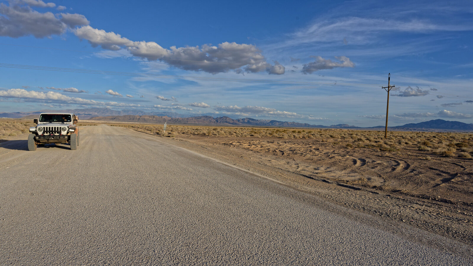
Waypoint 6 (36.44810, -116.41771)
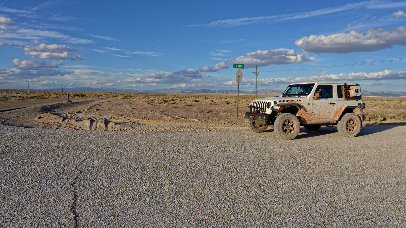
Waypoint 7 (36.44804, -116.42162)
A sign here reads IMV, and the next trail heads off this way. There is a mailbox but no sign.