North Tower Road - Level 3
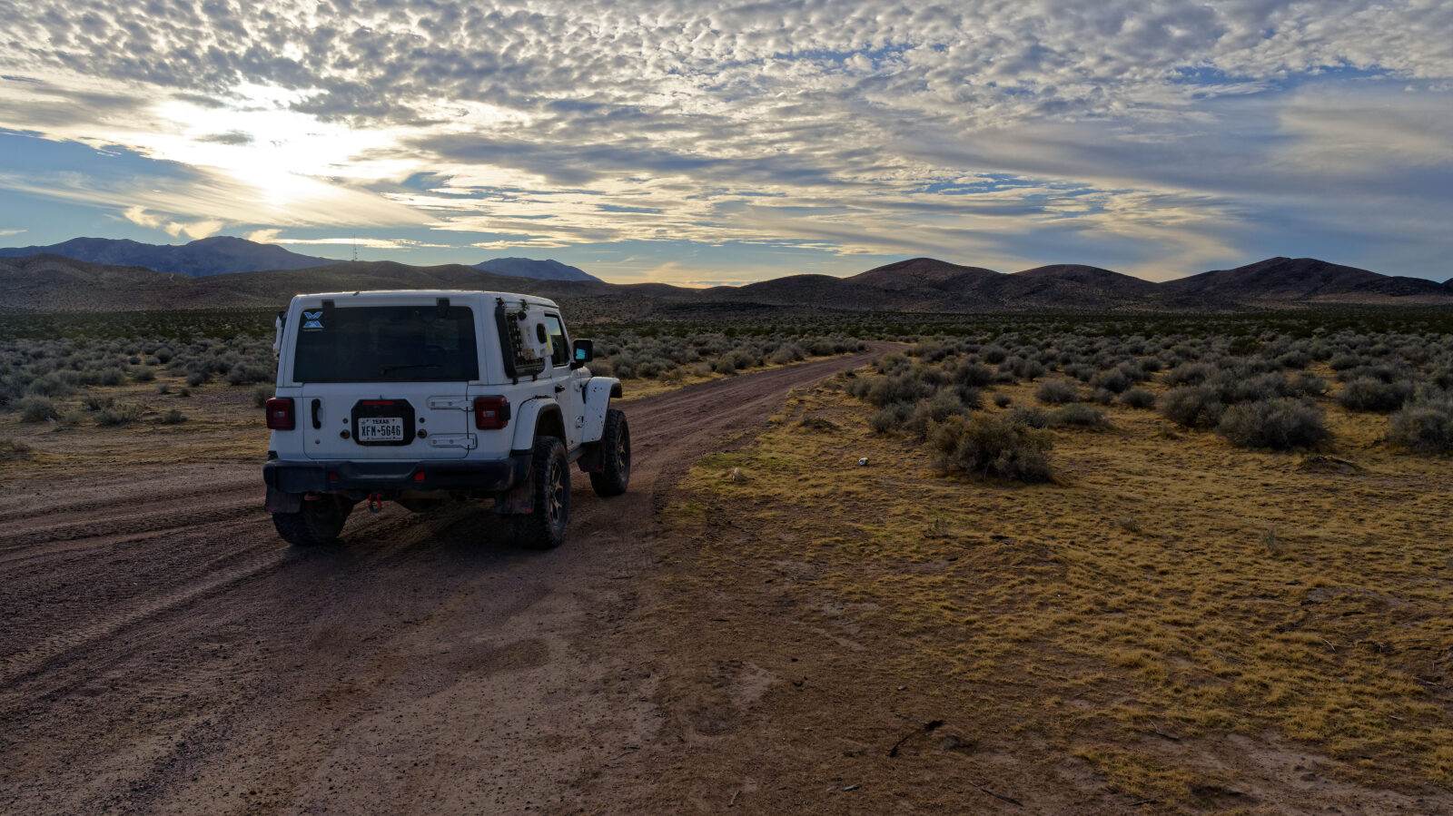
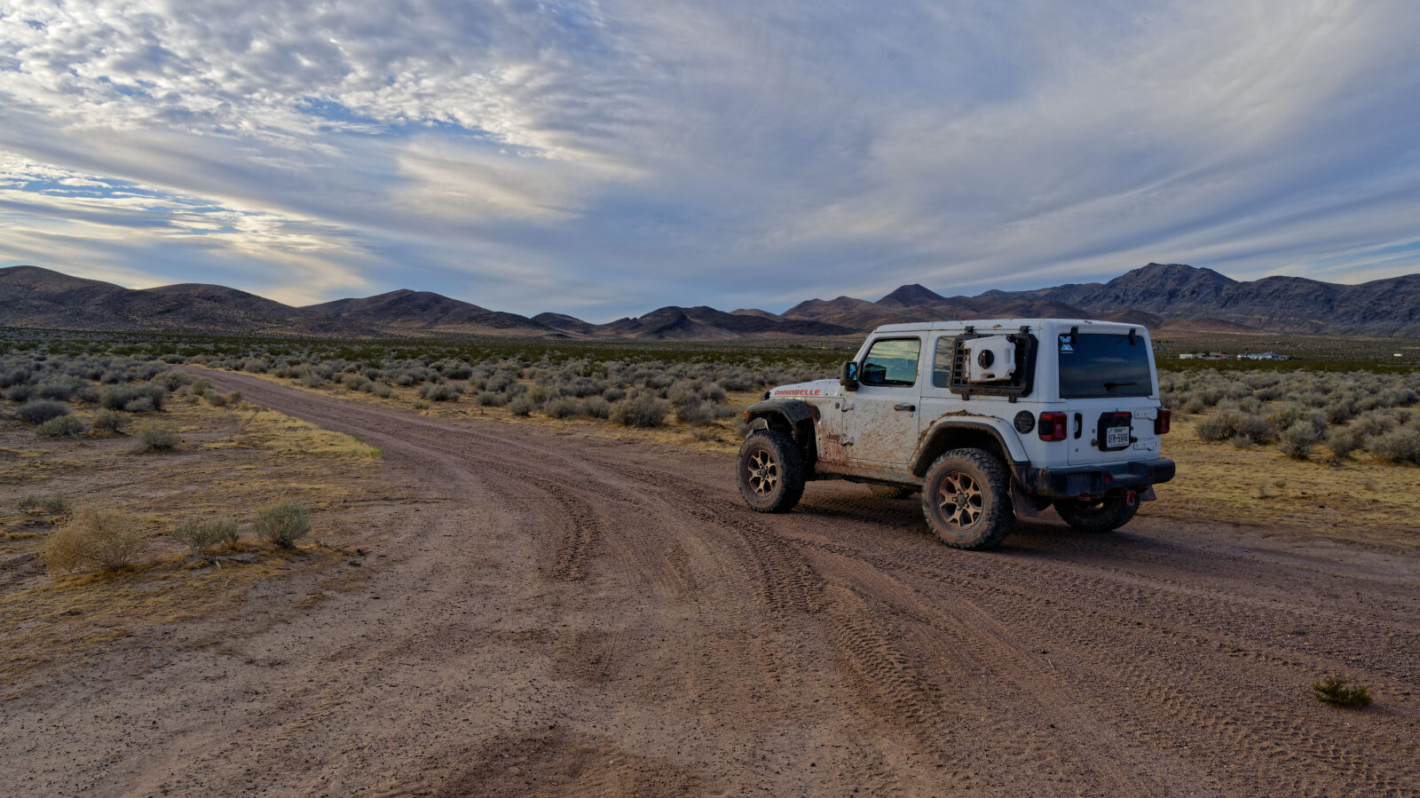
North Tower Road is a short route in the desert west of Pahrump, Nevada, on BLM land. It runs from a start near the north side of the area to a junction with Caroline Road, crossing a wash and several rocky climbs along the way.
The driver named the trail for its position on the north side of the area. The route stays in open desert and is a quick drive with a few spots that need attention.
Map
The interactive map needs JavaScript. Every waypoint is also listed below.
Trail Summary
- LocationPahrump, Nevada
- Distance2.1 miles
- DifficultyLevel 3
- Elevation2,403 ft to 2,722 ft with a 319 ft change
- Travel Time18 minutes
Difficulty
Best suited for a high clearance 4x4
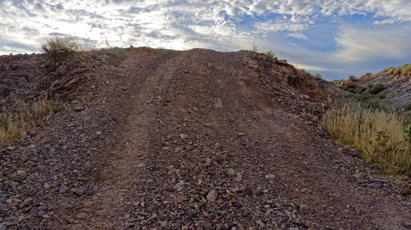
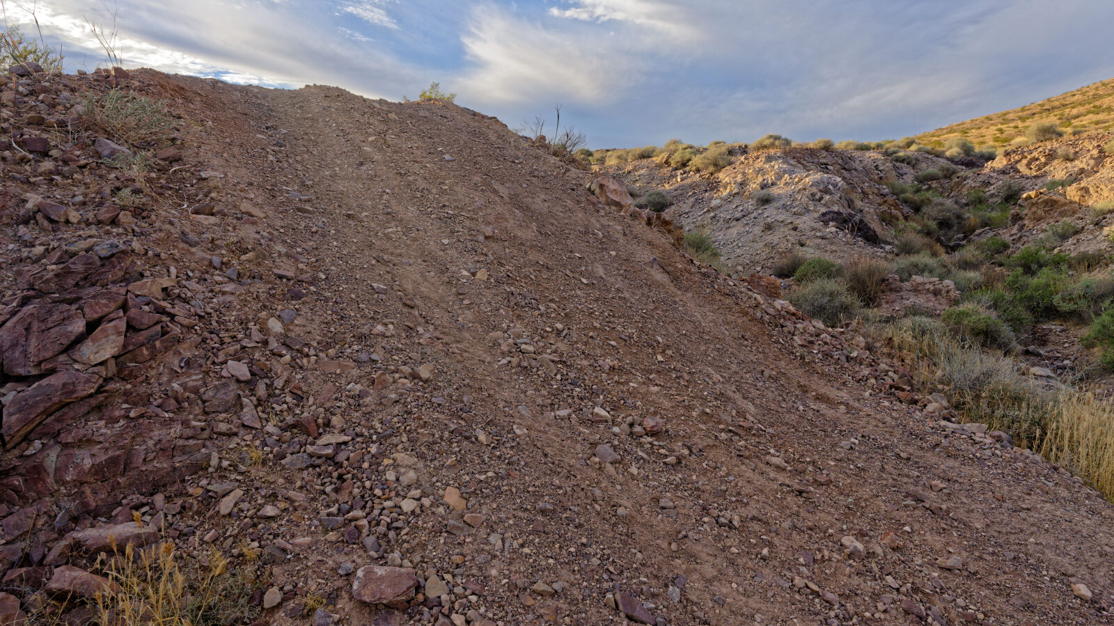
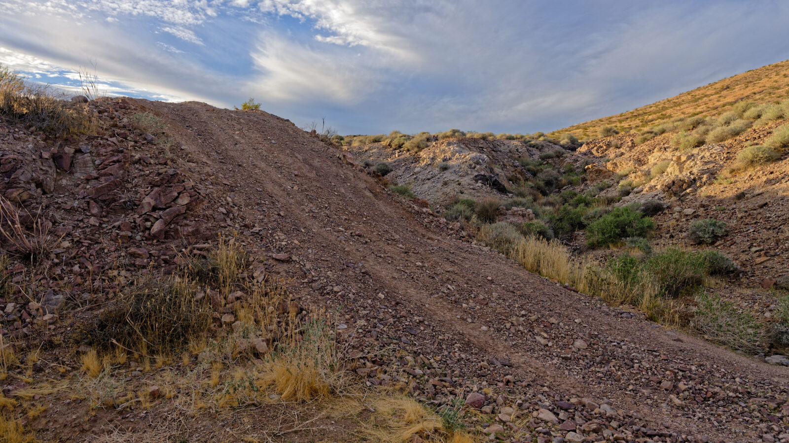
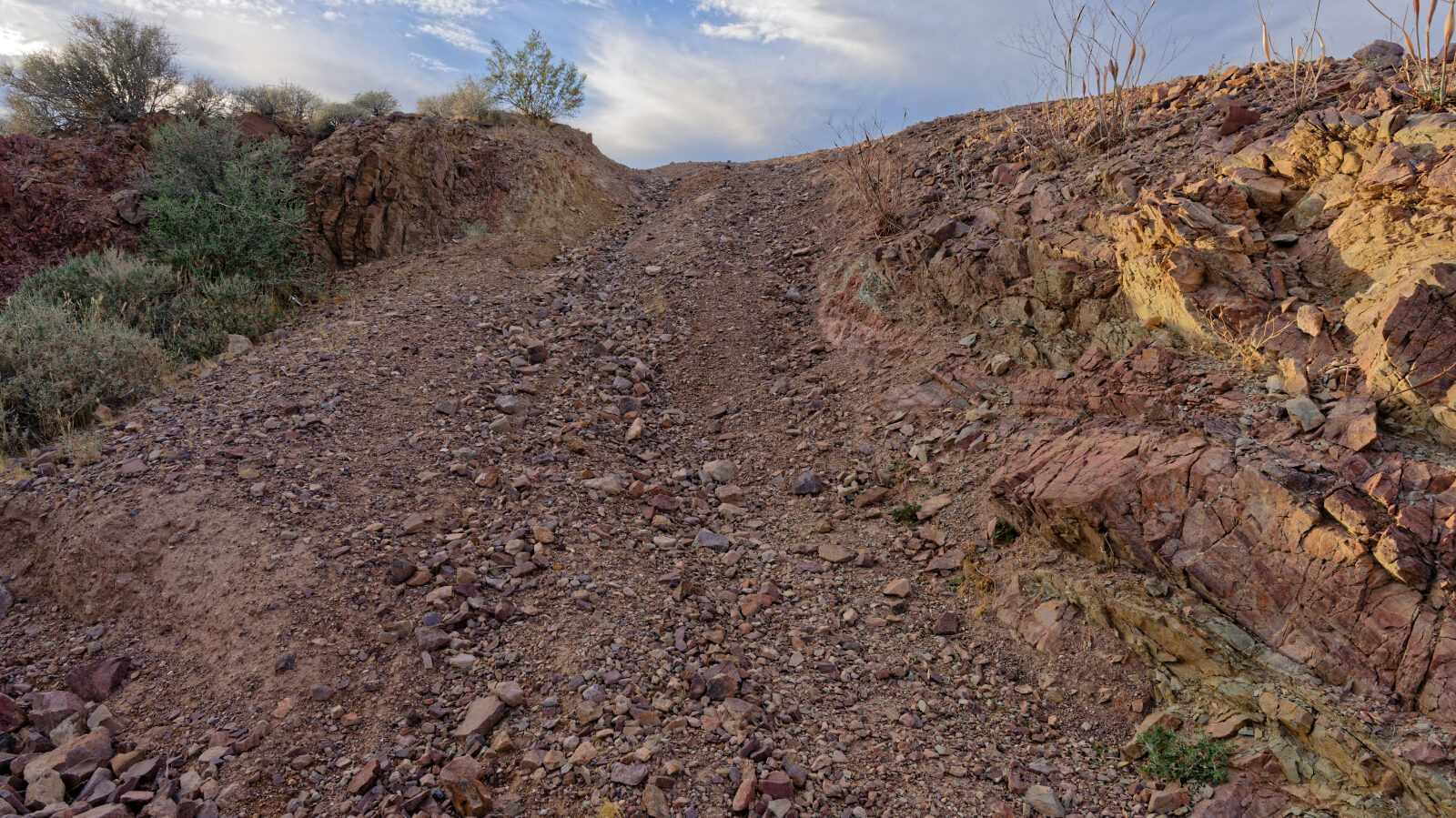
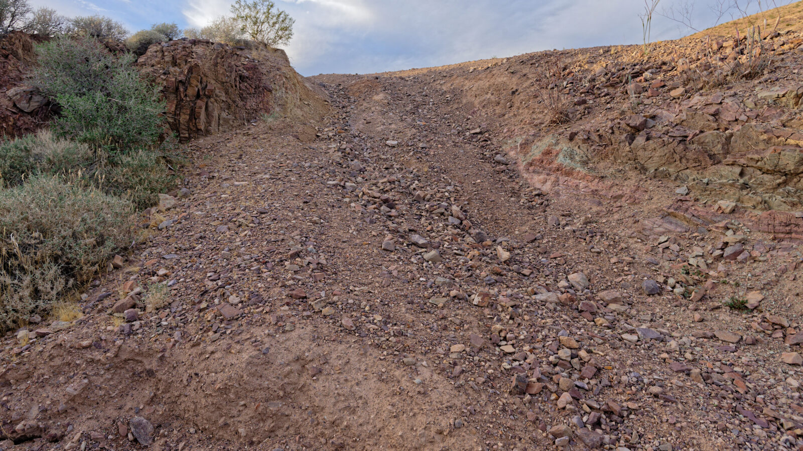
Level 3 is Moderate and best suited for a high clearance 4x4. Expect stock vehicles with good ground clearance, 4WD and off-road tires. Obstacles stay under about 12 inches, such as ledges, short steep grades and loose rock, and careful tire placement may be needed. The log describes the first stretch as easy but rocky and ungraded. At the wash, two ways up are offered. The south side is easier and the north side is steeper, and the driver took the steeper one and called it a hard spot, with another similar climb just beyond. Later climbs are steep enough that you can see only sky over the hood, with more climbing after. Near the end the ground is loose and takes some momentum.
Terrain
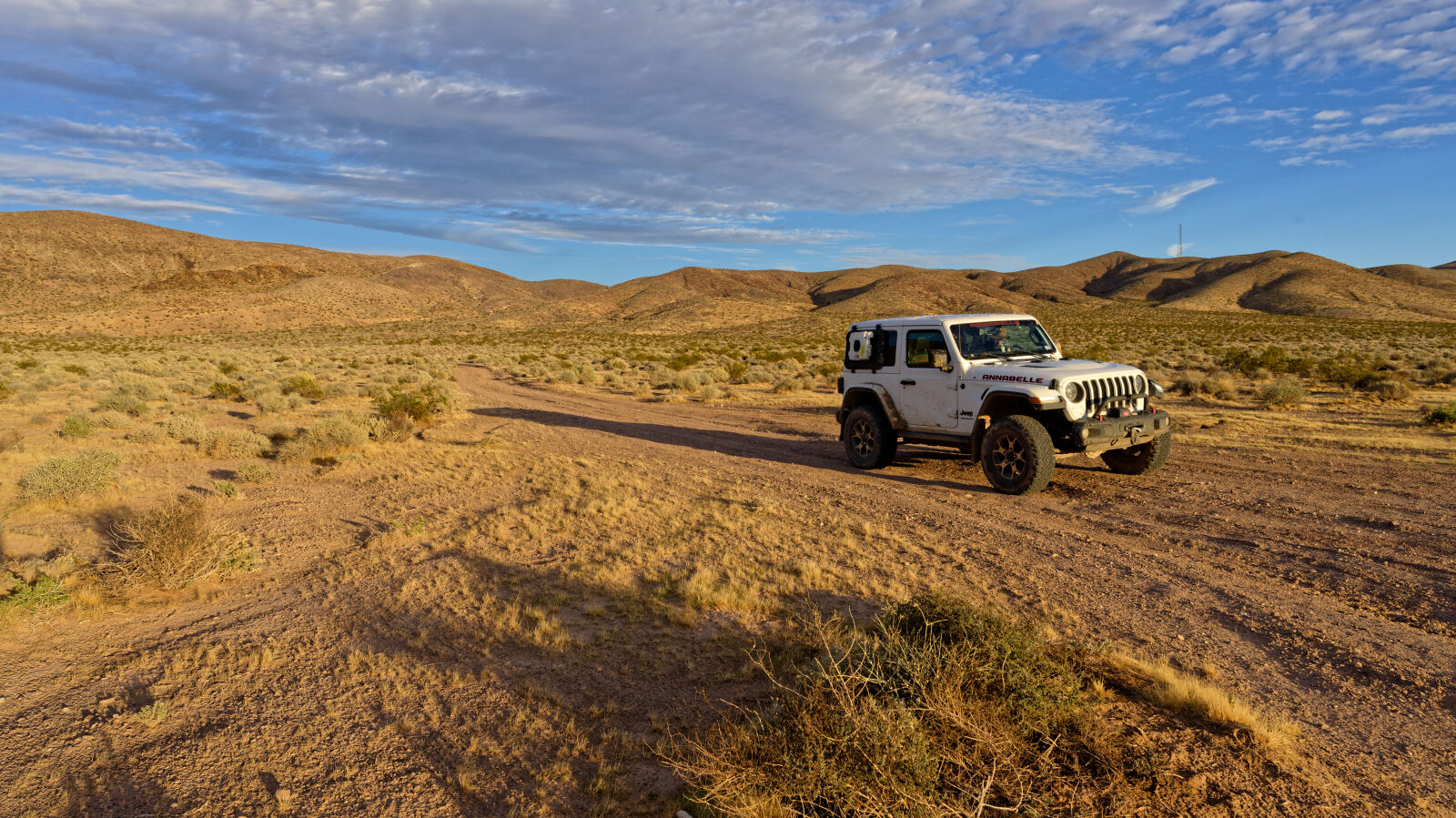
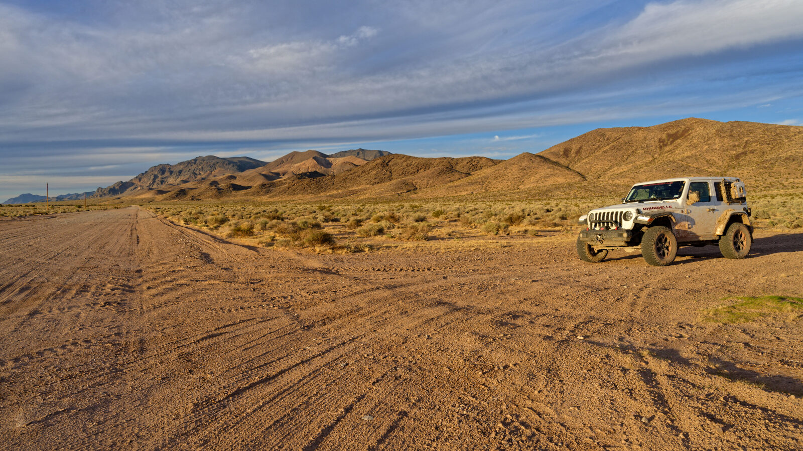
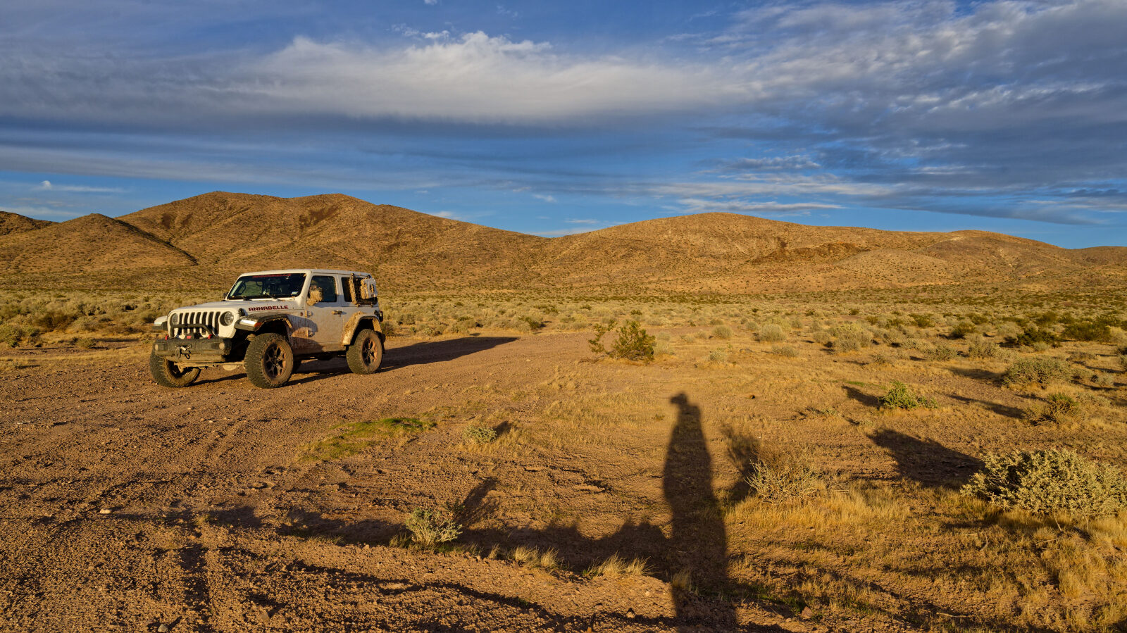
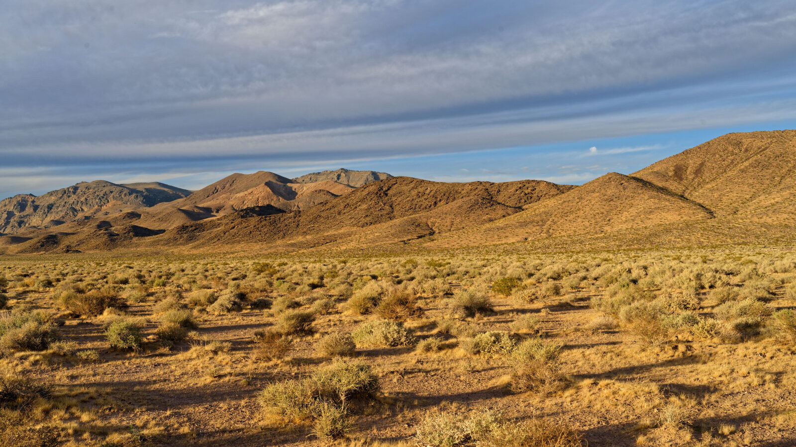
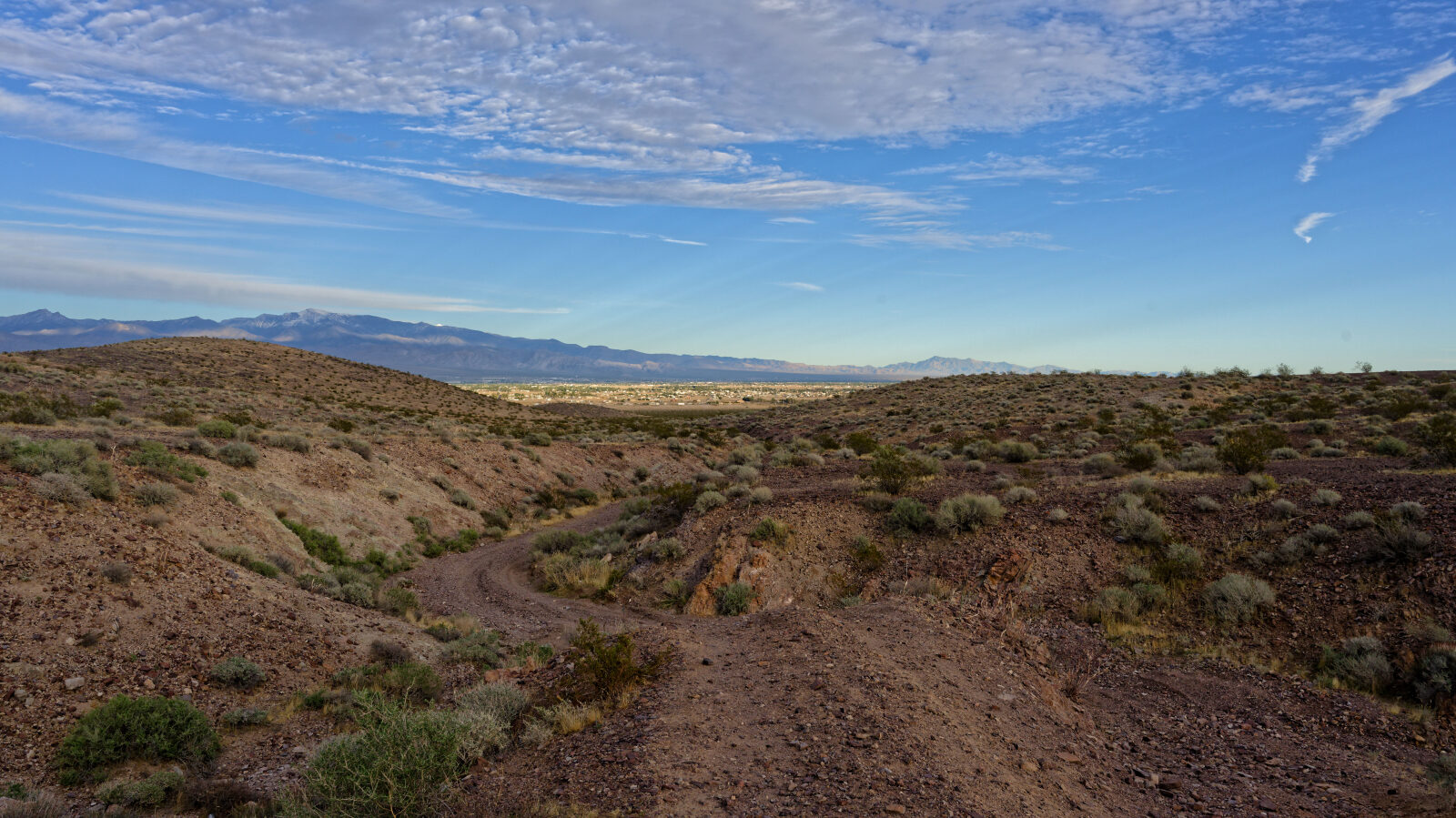
The trail begins on a rocky, ungraded desert track, then drops into a wash. Beyond the wash it climbs over steep, rocky pitches with loose ground in places. It stays in open Mojave Desert country west of Pahrump.
Waypoints
Waypoint 1 (36.21170, -116.10656)
Waypoint 2 (36.21102, -116.11110)
Easy section. It is not graded, but it is rocky.
Waypoint 3 (36.21019, -116.11962)
The trail enters the wash.
Waypoint 4 (36.21068, -116.12713)
Two ways up here. The south side is easier and the north side is steeper. The driver took the steeper one, which was a hard spot, and another climb follows.
Waypoint 5 (36.21118, -116.13080)
Steep climbs where all you can see is sky, followed by more climbing.
Waypoint 6 (36.21260, -116.13289)
Loose ground that takes some speed to climb.