Powerline Road - Level 3
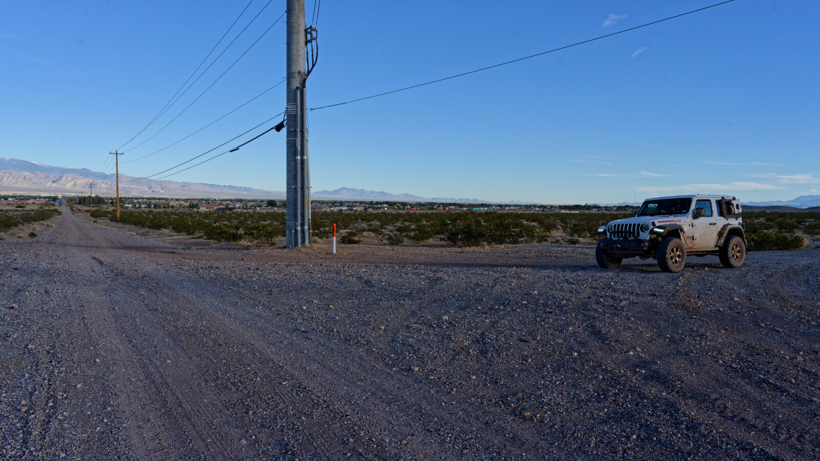
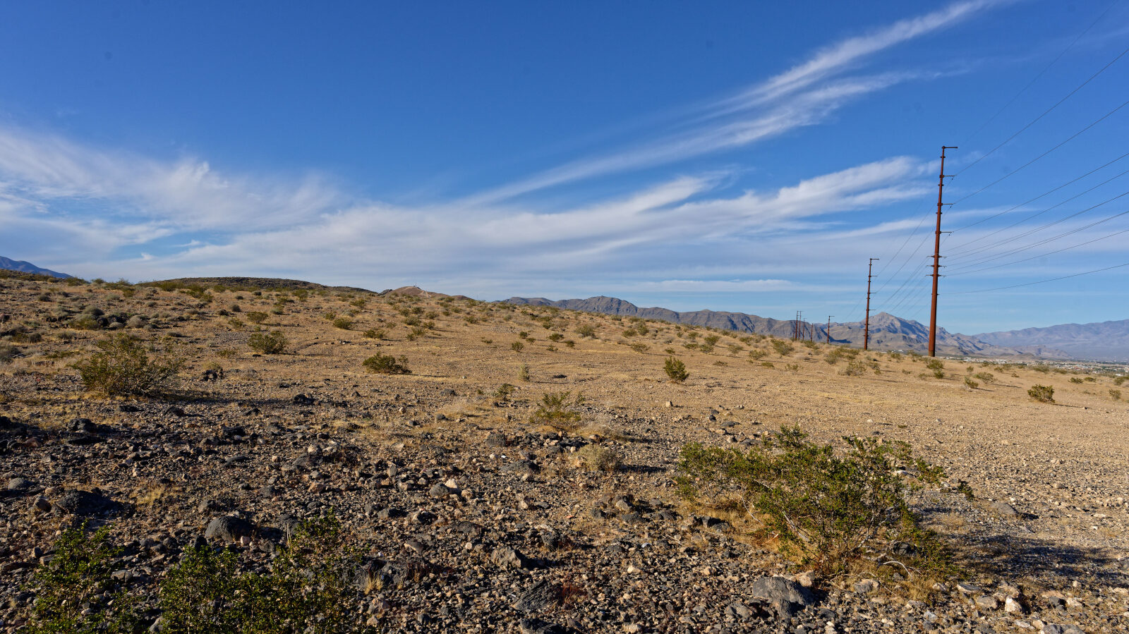
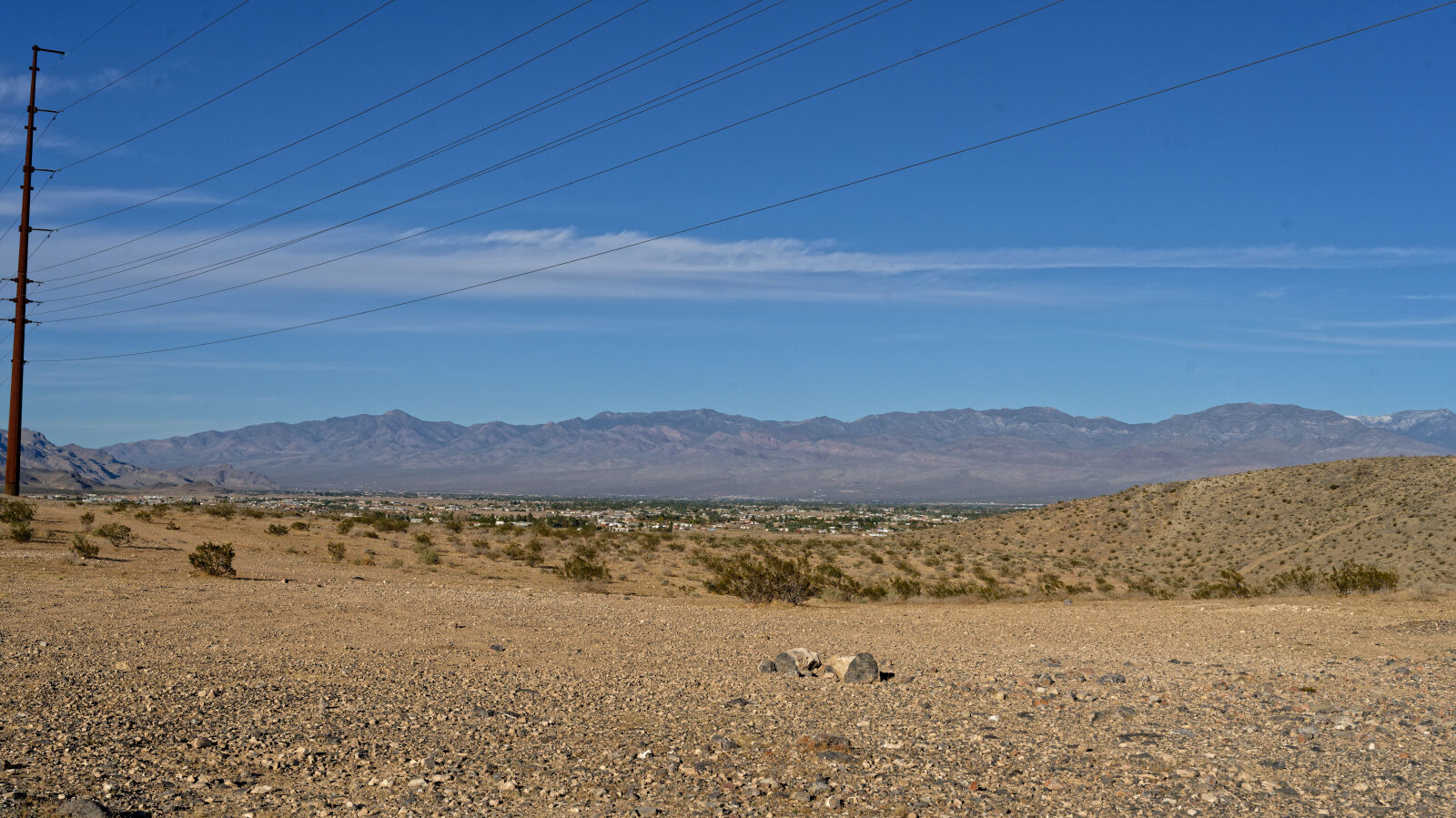
Powerline Road follows a utility line across the open desert west of Pahrump, running from the Ash Meadows side toward the edge of the Nopah Range Wilderness. The route is a working utility corridor, so the line itself stays in view for most of the drive and gives a clear landmark to follow.
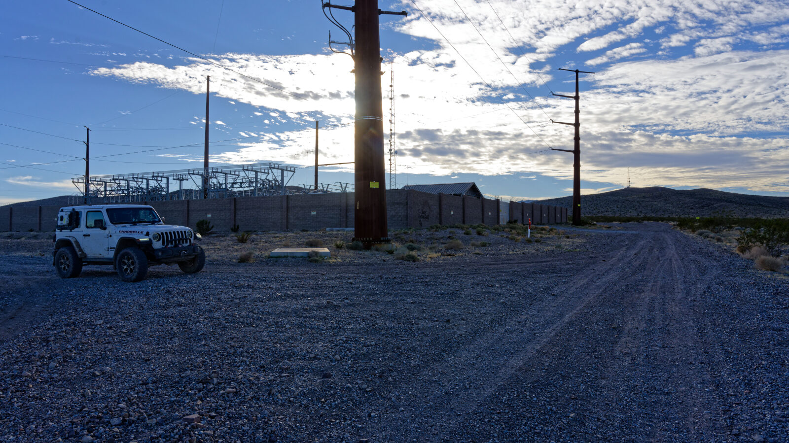
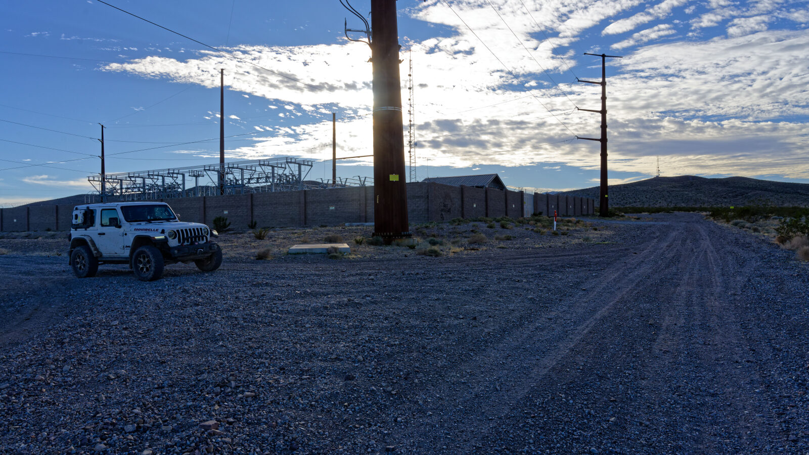
The first part is open BLM land with wide views and room to spread out. Further along, the road runs beside the wilderness boundary, crosses the paved road and the Ash Meadows road, and finishes in rougher ground and ends at a power transfer station.
Map
The interactive map needs JavaScript. Every waypoint is also listed below.
Trail Summary
- LocationPahrump, Nevada
- Distance10.9 miles
- DifficultyLevel 3
- Elevation2,401 ft to 2,550 ft with a 149 ft change
- Travel Time59 minutes
Difficulty
Best suited for a high clearance 4x4
Level 3 suits a stock high clearance 4x4 with good tires. Expect uneven or rutted surface, loose rock, sandy washes, and obstacles up to about 12 inches, such as ledges, drops and short steep grades. Water crossings should be under a foot deep, and the road is generally one vehicle wide with places to pass. The log notes the early miles are easier, with stretches that feel like Level 2, including near waypoints 4 and 8. The trail changes to Level 3 after the side road to the power line post. At that spot the tires are not even, so crawl it and do not try to climb the high part. Rocks, cracks and old footings follow, which the log rates as a little harder but no more than Level 3. Mud can sit in low spots where water does not drain.
Terrain
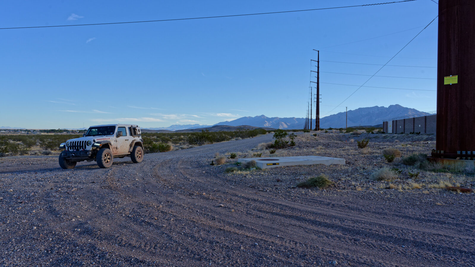
The road crosses open desert on BLM land, with brush and room to pull off. The early surface is mostly graded or packed dirt that can hold mud in spots where water cannot flow away. Near the end it turns to rocks, cracks and uneven ground. A steep climb leads up to a power pole, and the road goes around it.
Highlights
The wilderness boundary sign states that the area beyond is closed to motor vehicles, motorized equipment, bicycles and hang gliders, and it also spells out the penalties for violations, so stay on the road. The open land near the start has spots where people already camp, though getting in and out is rough.
Waypoints
Waypoint 1 (36.13185, -115.99766)
Start of Powerline Road.
Waypoint 2 (36.13125, -115.99897)
Muddy in spots where water cannot drain, but not everywhere.
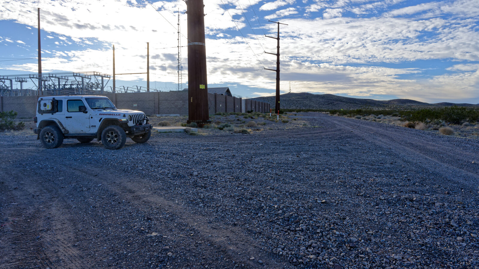
Waypoint 3 (36.20486, -116.11287)
End of Powerline Road. The road here continues toward Death Valley and a mine.
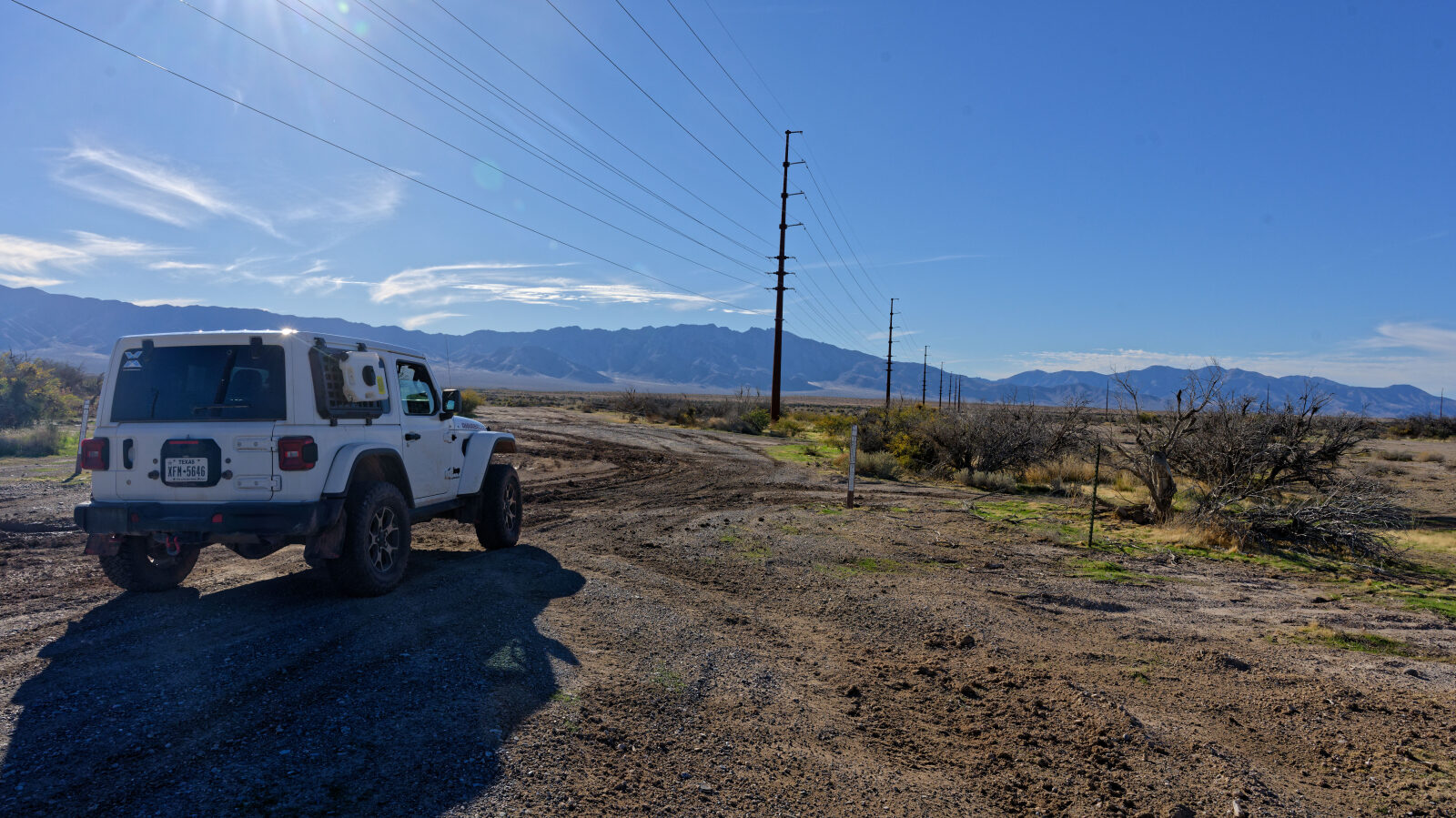
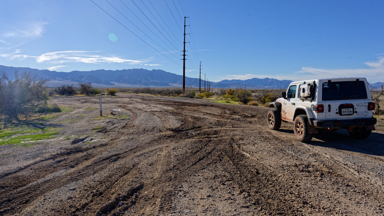
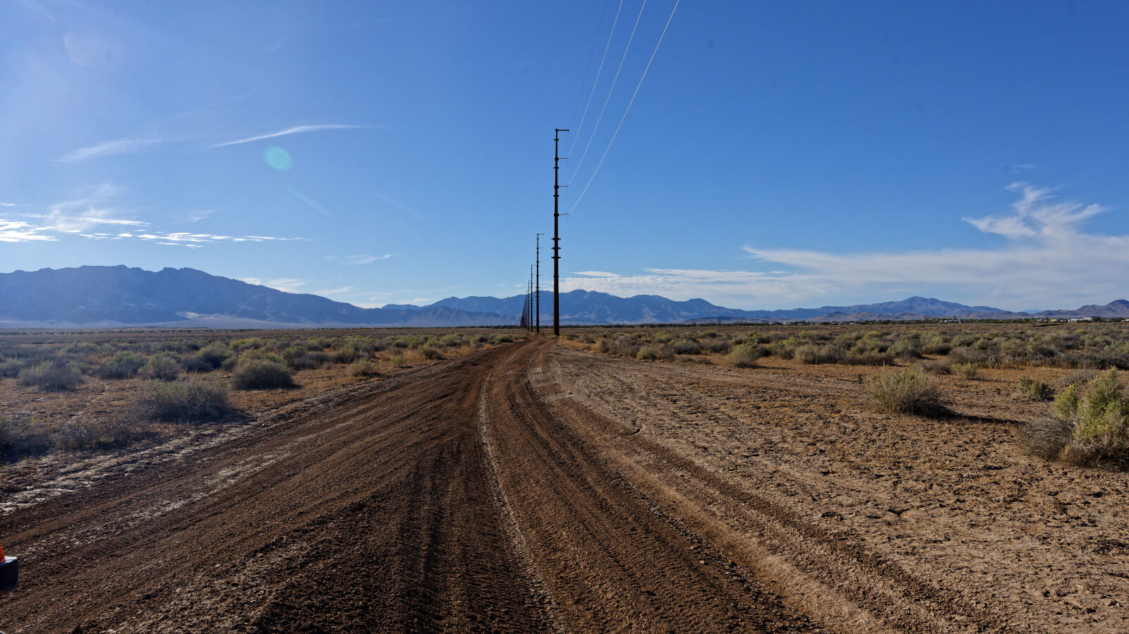
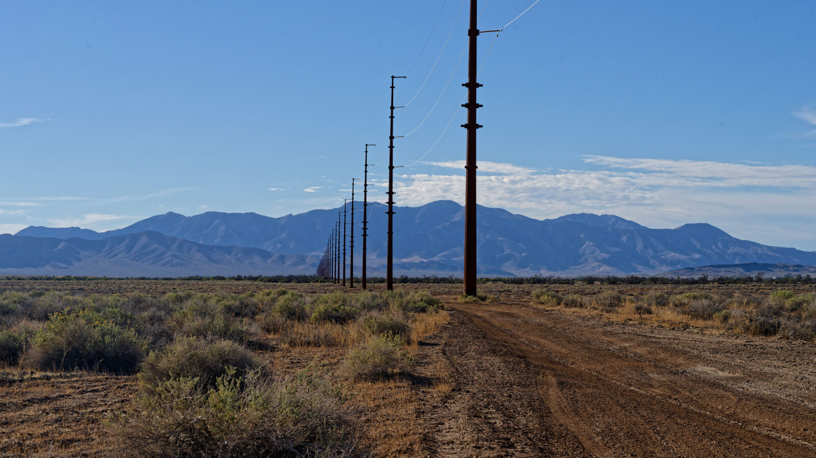
Waypoint 4 (36.15375, -116.00926)
Level 2 section.
Waypoint 5 (36.15388, -116.07225)
The Nopah Range Wilderness is on the left, with a sign. The wilderness is BLM land like the east side.
Waypoint 6 (36.15475, -116.09183)
The road enters different country and runs through wilderness.
Waypoint 7 (36.16084, -116.10007)
The boundary sign says the area behind it is closed to motor vehicles, motorized equipment, bicycles and hang gliders.
Waypoint 8 (36.16189, -116.10102)
Still Level 2.
Waypoint 9 (36.16746, -116.10821)
The trail crosses the main paved road and continues. The Ash Meadows road is crossed next.
Waypoint 10 (36.17286, -116.11314)
Most people go this way. The side road only goes up to the power line post.
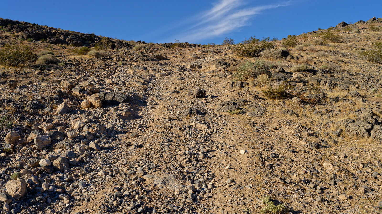
Waypoint 11 (36.17376, -116.11372)
The trail changes to Level 3 here and the tires are not even. Crawl it rather than climbing the high part.
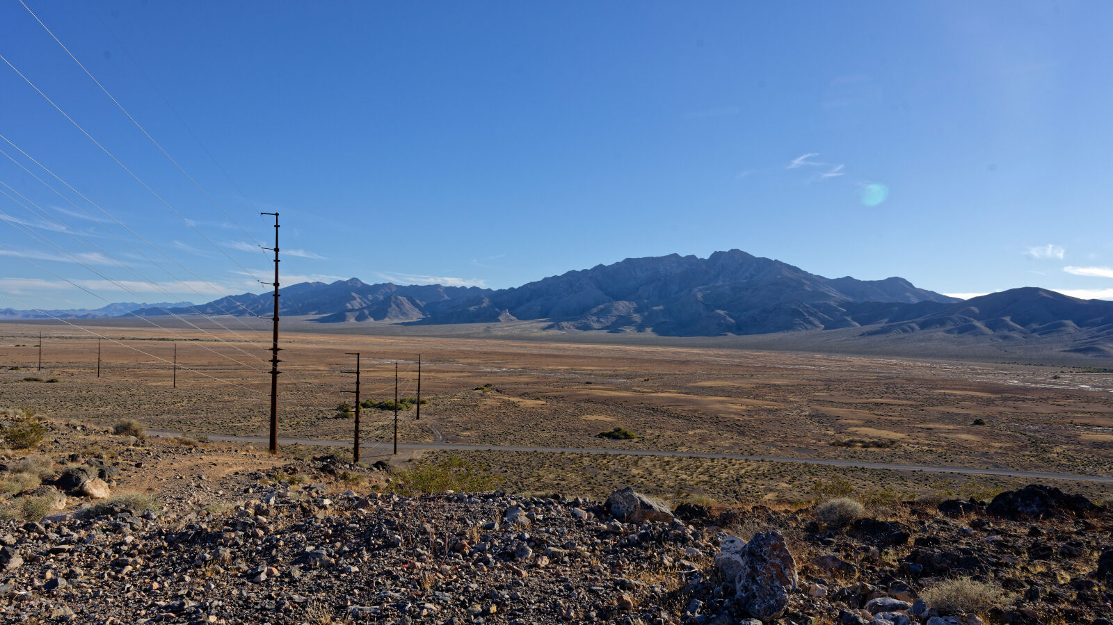
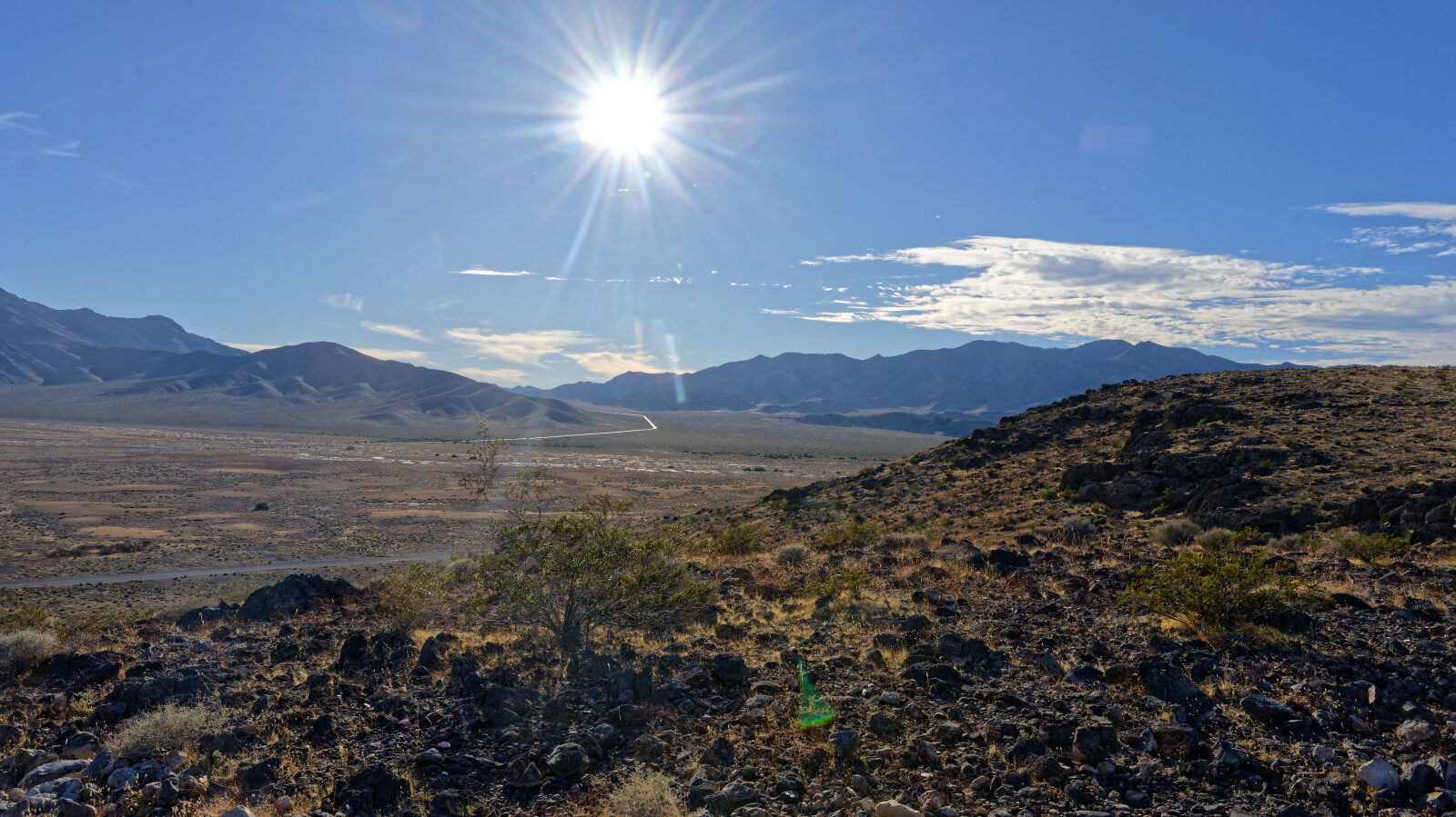
Waypoint 12 (36.17485, -116.11317)
Waypoint 13 (36.17676, -116.11289)
Rocks, cracks and old footings and foundations. A little harder, but no more than Level 3.
Waypoint 14 (36.18293, -116.11221)
More fun than the first part. A steep climb goes up to the pole, so it is clear why the road goes around.