Spring Meadows South Road - Level 1
Spring Meadows South Road is a short, separate stretch of road that runs south through the Ash Meadows area of Nye County in southern Nevada. It is not connected to the other Spring Meadows Road the crew drove earlier. The driver named it South Road to tell the two apart.
The road runs through open desert basin country and works as a quick, easy drive for anyone exploring the Ash Meadows area.
Map
The interactive map needs JavaScript. Every waypoint is also listed below.
Trail Summary
- LocationNye County, Nevada
- Distance3.4 miles
- DifficultyLevel 1
- Elevation2,099 ft to 2,152 ft with a 53 ft change
- Travel Time10 minutes
Difficulty
Suitable for high clearance 2WD
Level 1 is easy and suits high clearance 2WD. Stock equipment is enough. Expect dirt or rocky surface with only minor challenges, such as rocks, dips or ruts under 5 inches, and gentle grades with good traction. The road is typically two vehicles wide. The driver's log calls out no obstacles or sections needing special attention.
Terrain
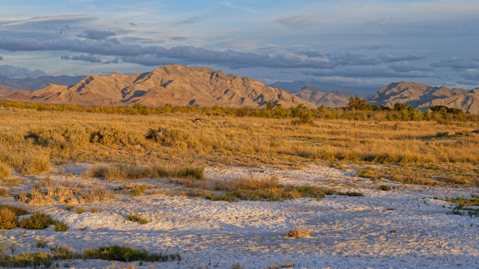
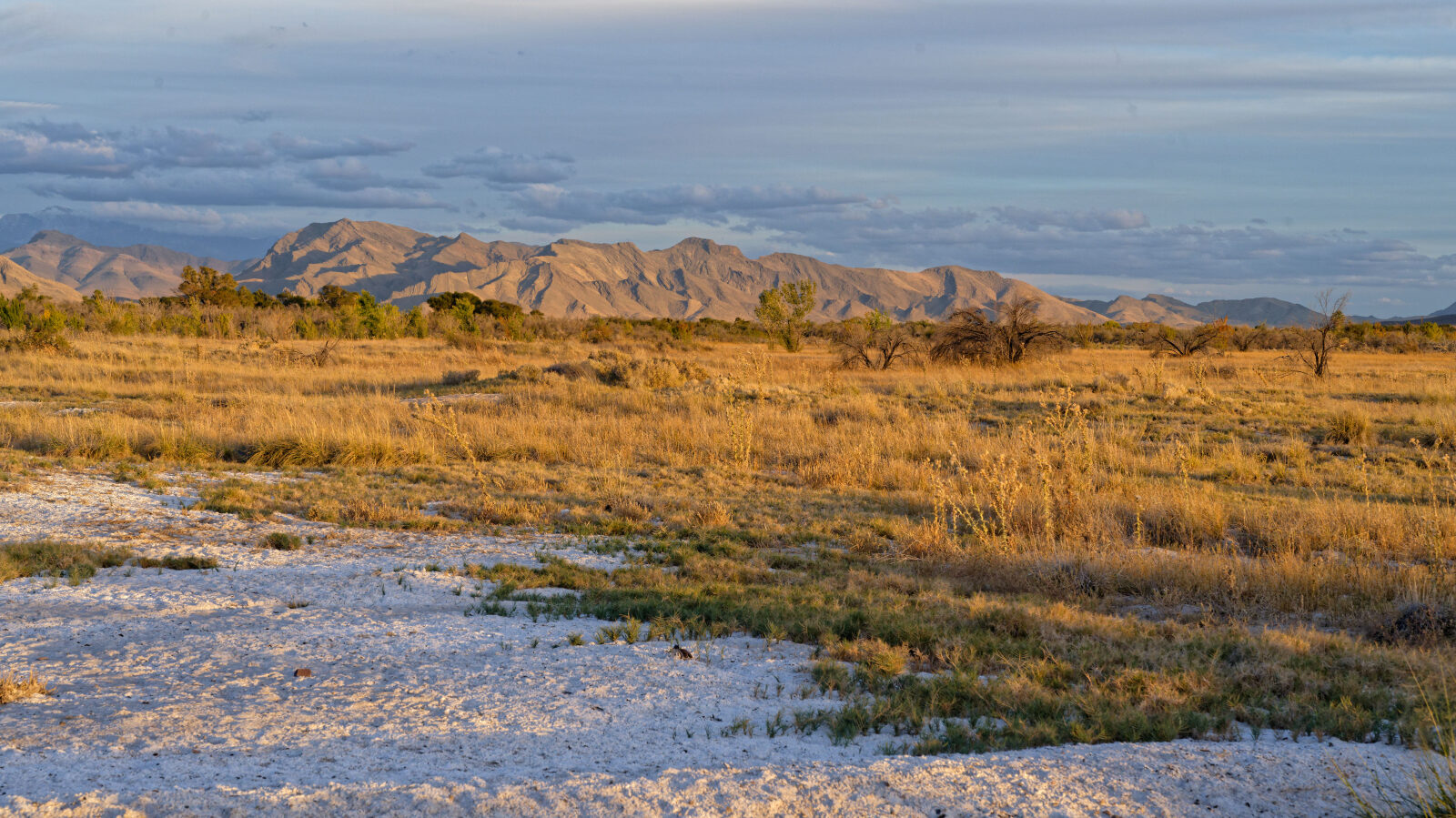
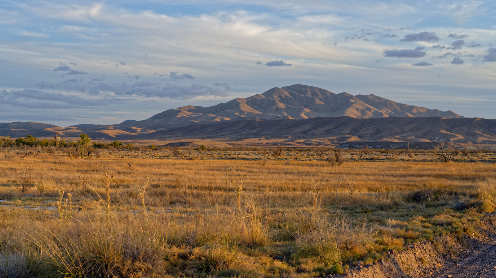
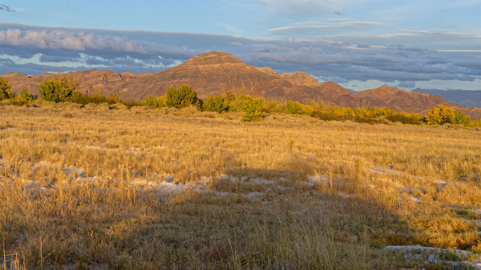
The road has a gravel surface through open desert basin country in the Ash Meadows area.
Highlights
The road passes through Ash Meadows Wildlife Refuge. The log marks the start and the end of the road, and each waypoint along the way has photos.
Waypoints
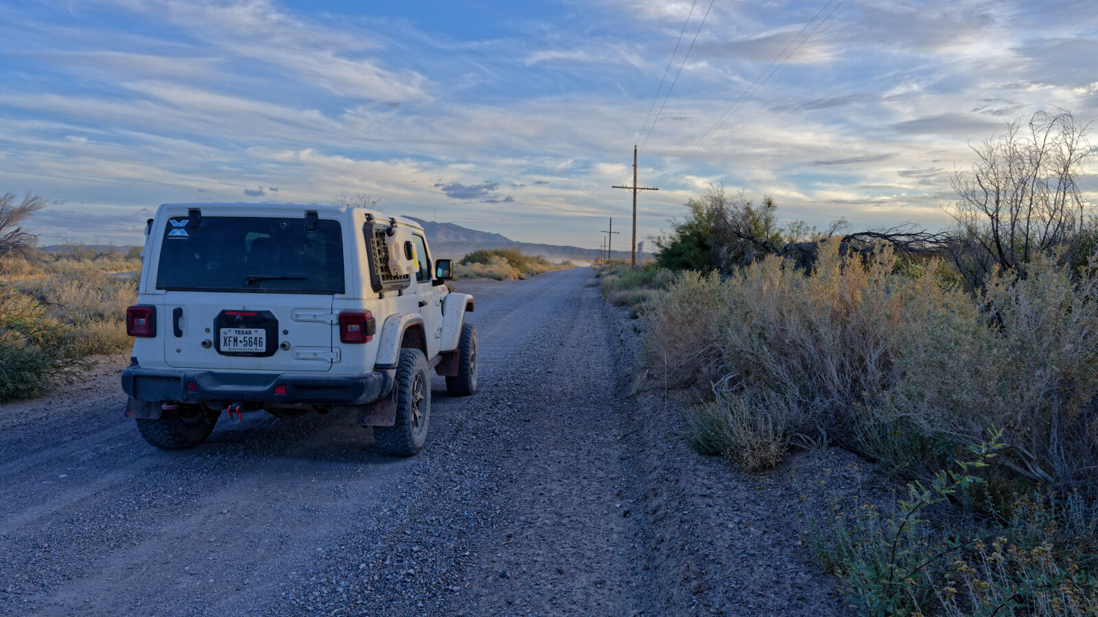
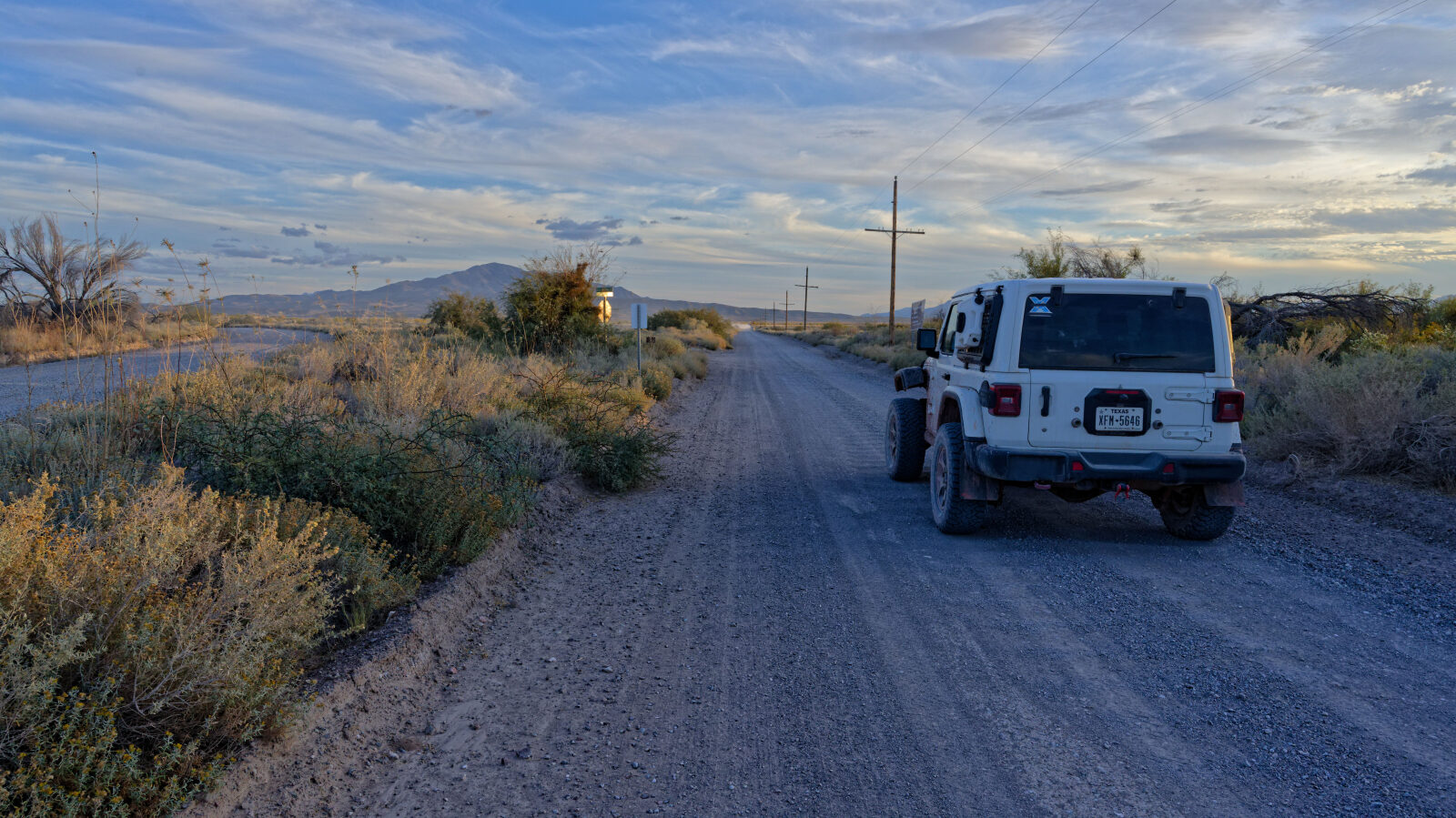
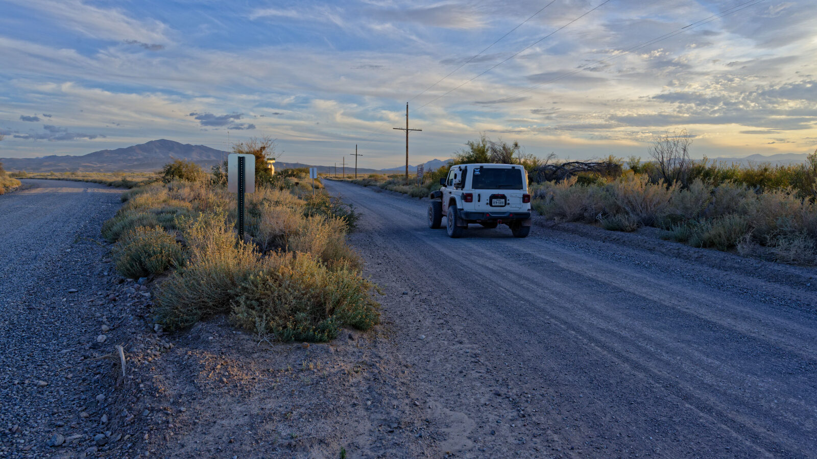
Waypoint 1 (36.39521, -116.30202)
Start of Spring Meadows South Road, a separate section from the other Spring Meadows Road. It runs through Ash Meadows before rejoining Spring Meadows Road.
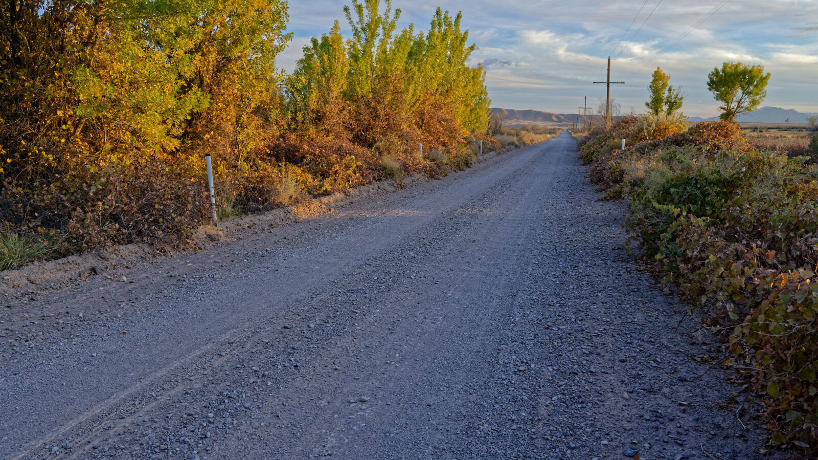
Waypoint 2 (36.37263, -116.30187)
Waypoint 3 (36.37103, -116.30187)
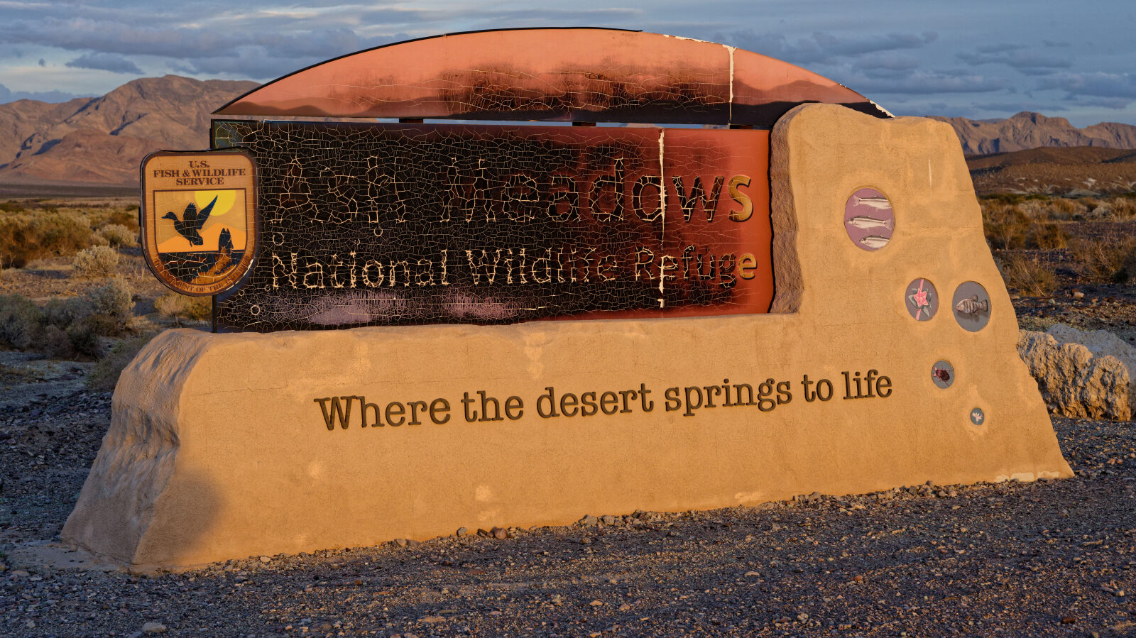
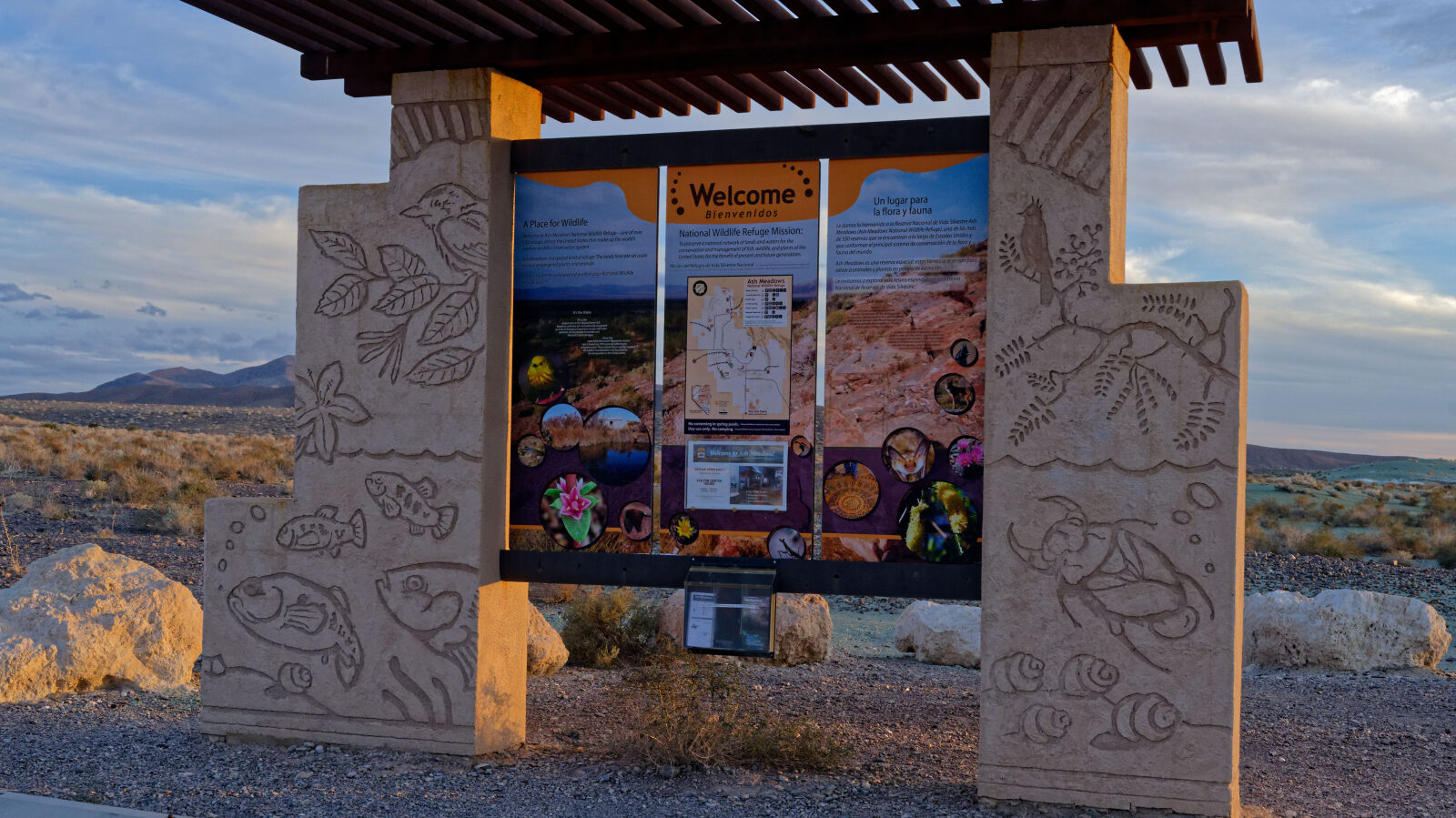
Waypoint 4 (36.36298, -116.30181)
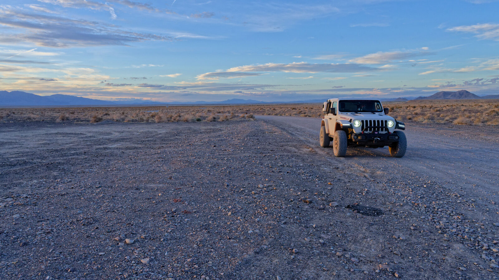
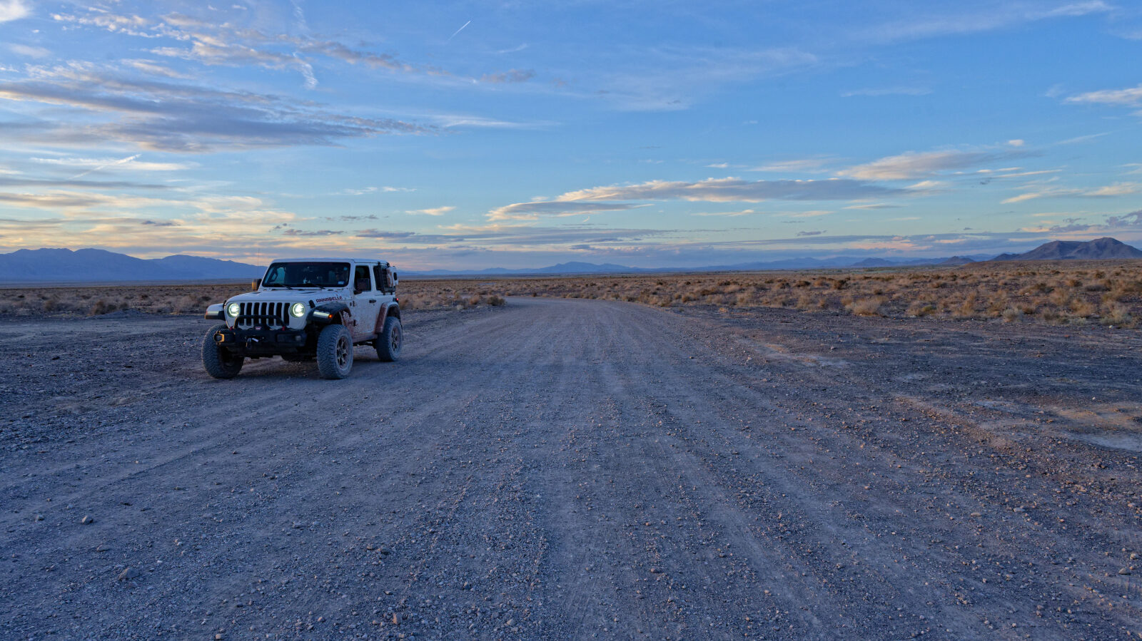
Waypoint 5 (36.35190, -116.30523)
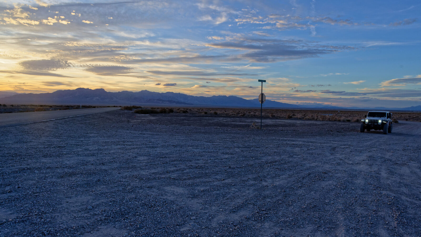
Waypoint 6 (36.34803, -116.30196)
End of Spring Meadows South Road.