Springs Meadow Road - Level 1
Springs Meadow Road is a short dirt road in the Amargosa Valley area of southern Nye County, Nevada. It starts on BLM land and then enters Ash Meadows National Wildlife Refuge, crossing open desert flats toward the spring-fed wetlands on the refuge's east side.
It makes a quiet, easy drive for visitors exploring the refuge, and it can be combined with other refuge roads.
Map
The interactive map needs JavaScript. Every waypoint is also listed below.
Trail Summary
- LocationAmargosa Valley, Nevada
- Distance4.5 miles
- DifficultyLevel 1
- Elevation2,058 ft to 2,172 ft with a 114 ft change
- Travel Time9 minutes
Difficulty
Suitable for high clearance 2WD
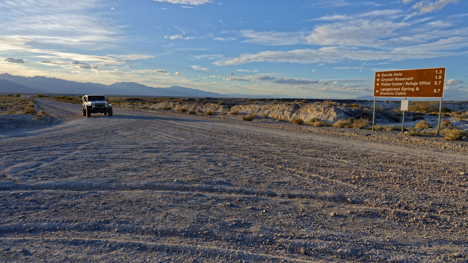
This is an Easy, Level 1 road. Stock equipment is enough, and high clearance 2WD vehicles can drive it. Expect dirt and rocky surface with only minor dips, ruts or rocks under 5 inches, gentle grades and good traction. The road is generally two vehicles wide. The log notes a sign at the Wildlife Refuge saying no camping and no parking, with the refuge closed at dusk. The road is open to the public year-round during daylight hours. Stay on designated roads.
Terrain
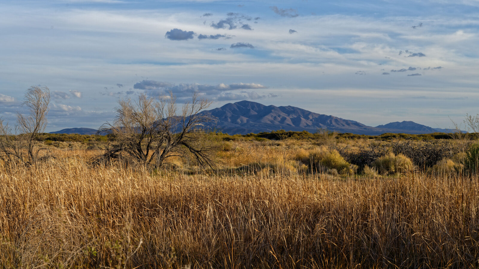
The road runs across low desert valley floor at the southern end of the Amargosa Desert, with only a little elevation change along the way. The surface is dirt and gravel. Mesquite, saltbush and other desert scrub line the route, and the road gets closer to the spring-fed marsh areas of the refuge toward the east end.
Highlights
Ash Meadows is known for its many springs and its endemic wildlife, including pupfish and several plants found nowhere else. Bring water and a camera, and plan to be out of the refuge by dusk.
Waypoints
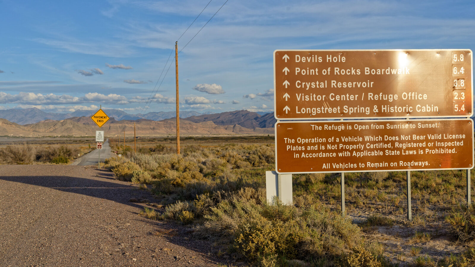
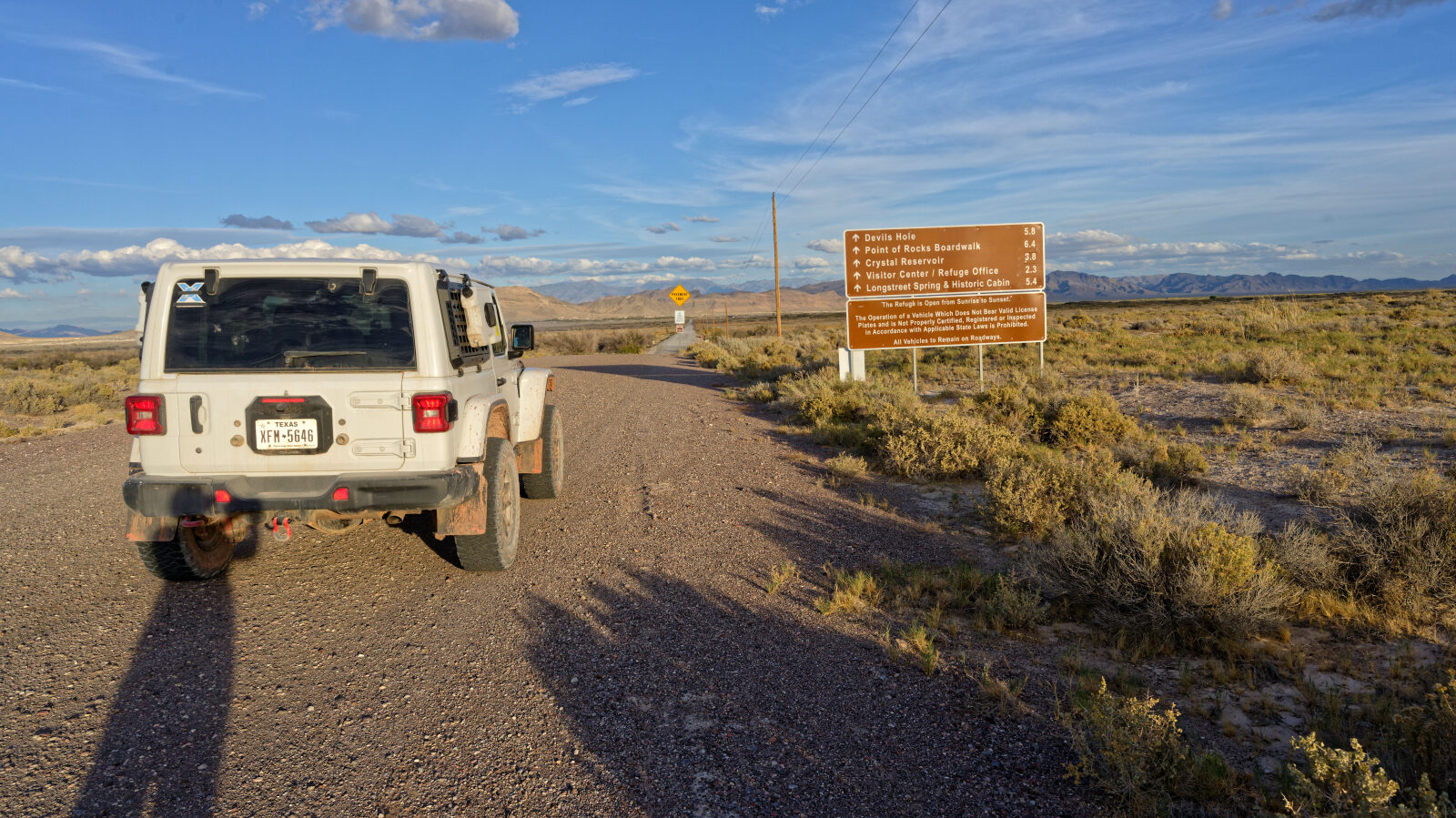
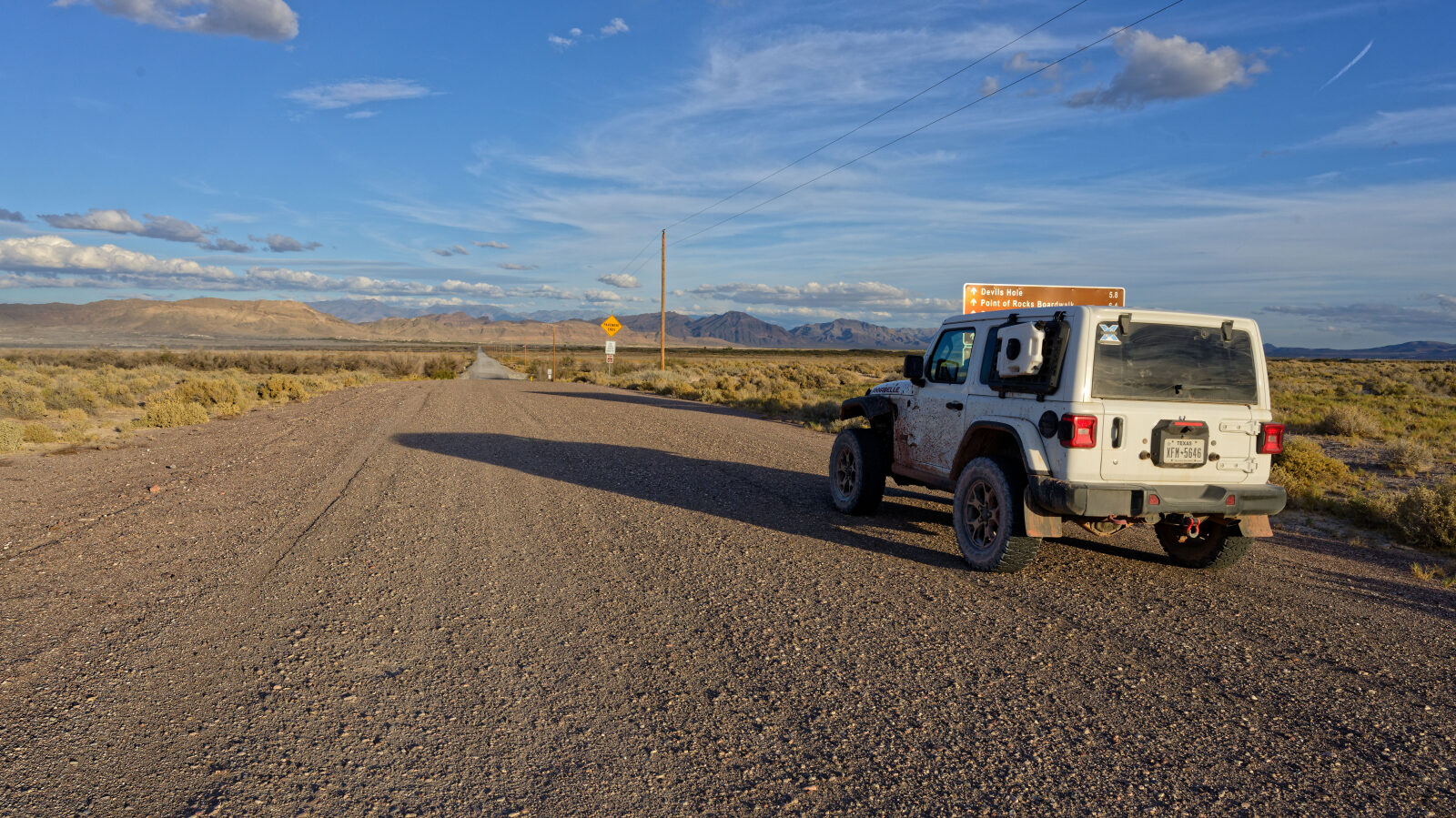
Waypoint 1 (36.42525, -116.37082)
Start of Springs Meadow Road. It begins on BLM land and then enters Ash Meadows Wildlife Refuge. A sign prohibits camping and parking, says the refuge closes at dusk, and asks visitors to stay on designated roads.
Waypoint 2 (36.42508, -116.35392)
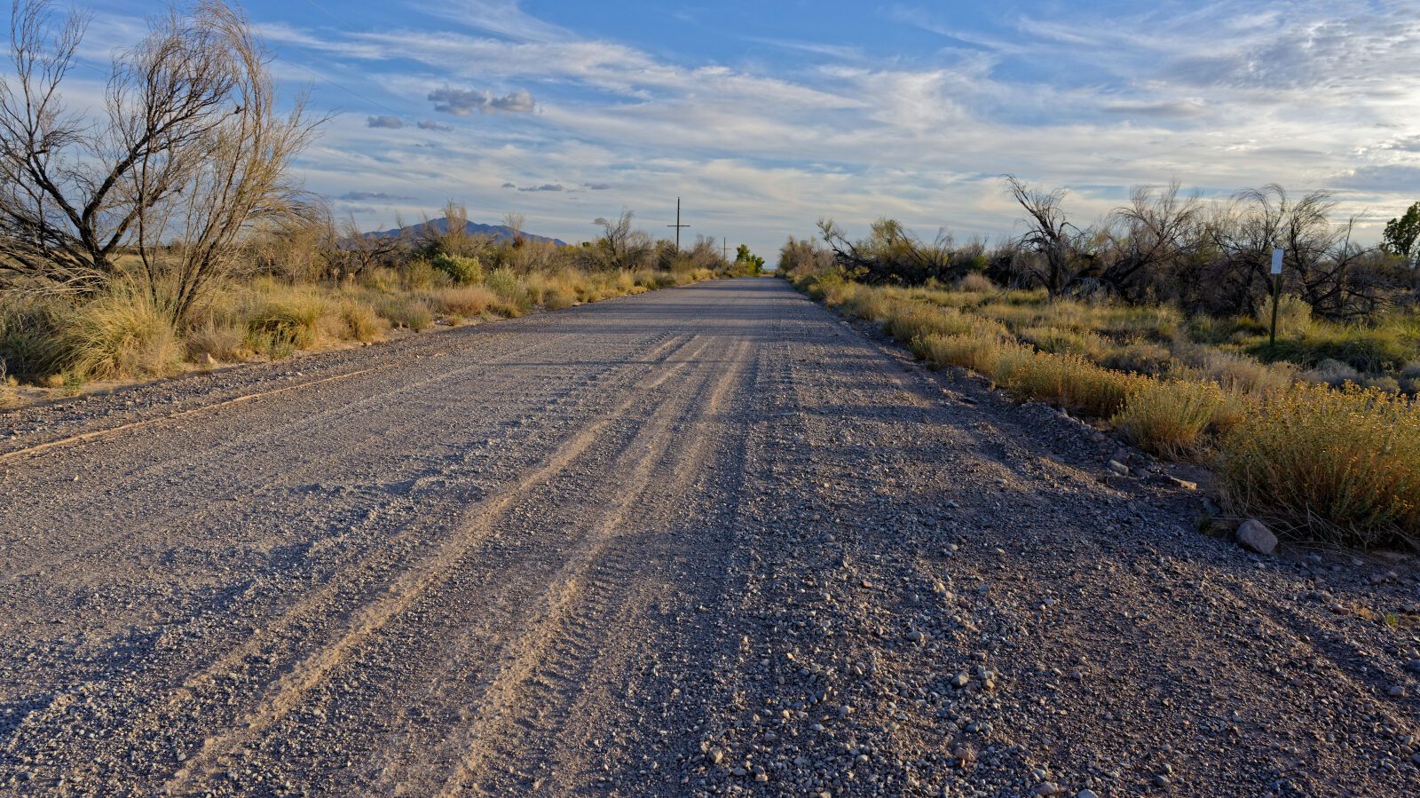
Waypoint 3 (36.42298, -116.32047)
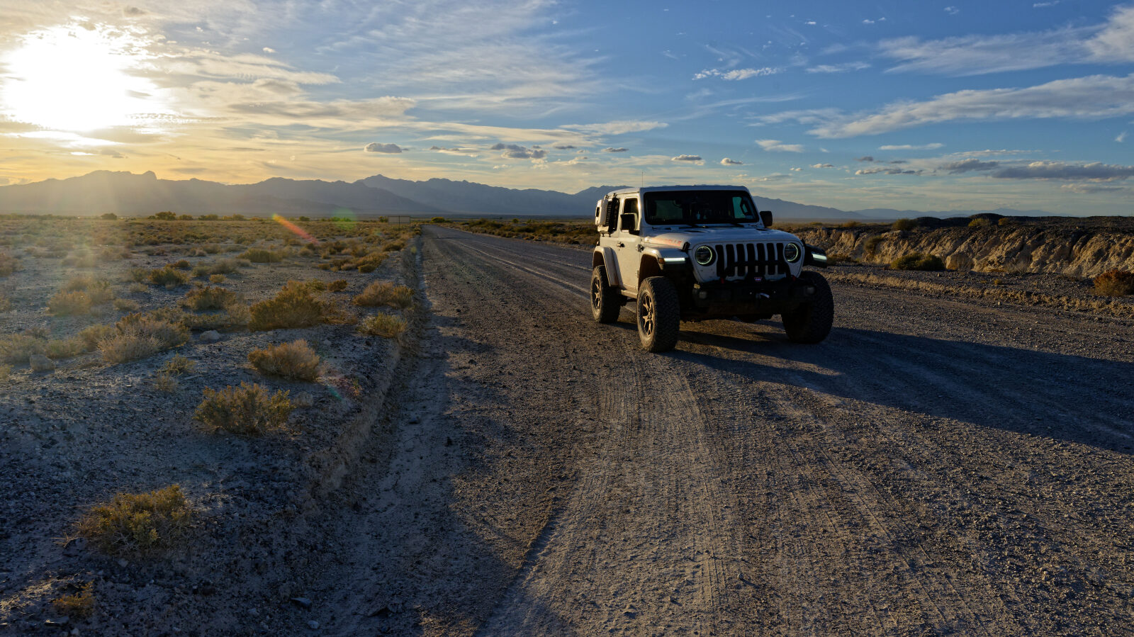
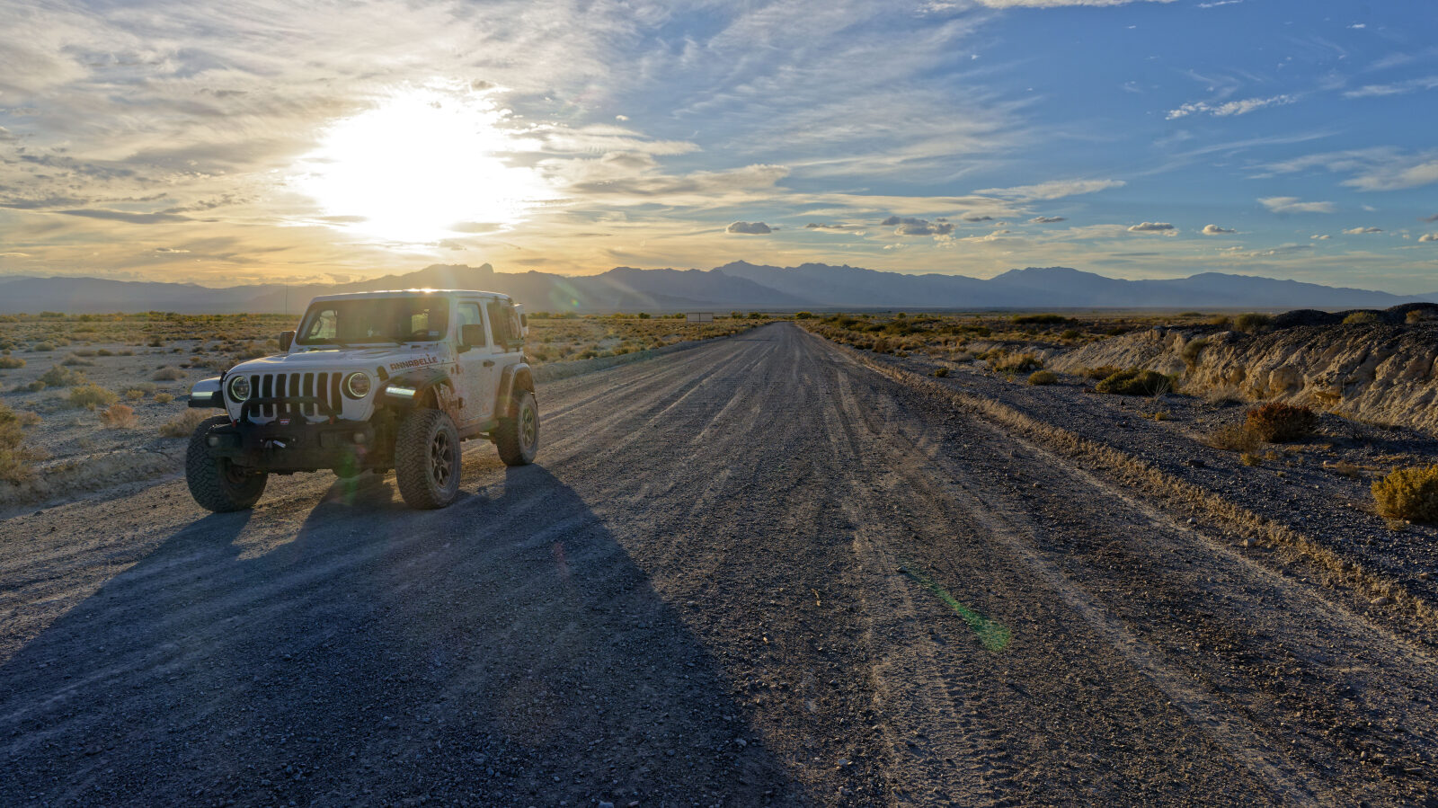
Waypoint 4 (36.41086, -116.30994)
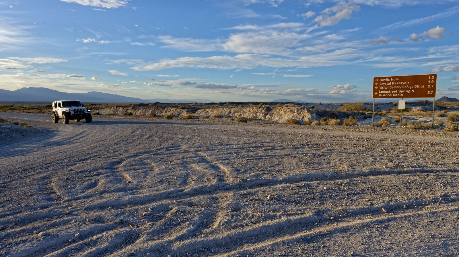
Waypoint 5 (36.40962, -116.30220)
End of Springs Meadow Road.