West Comm Tower Road - Level 3
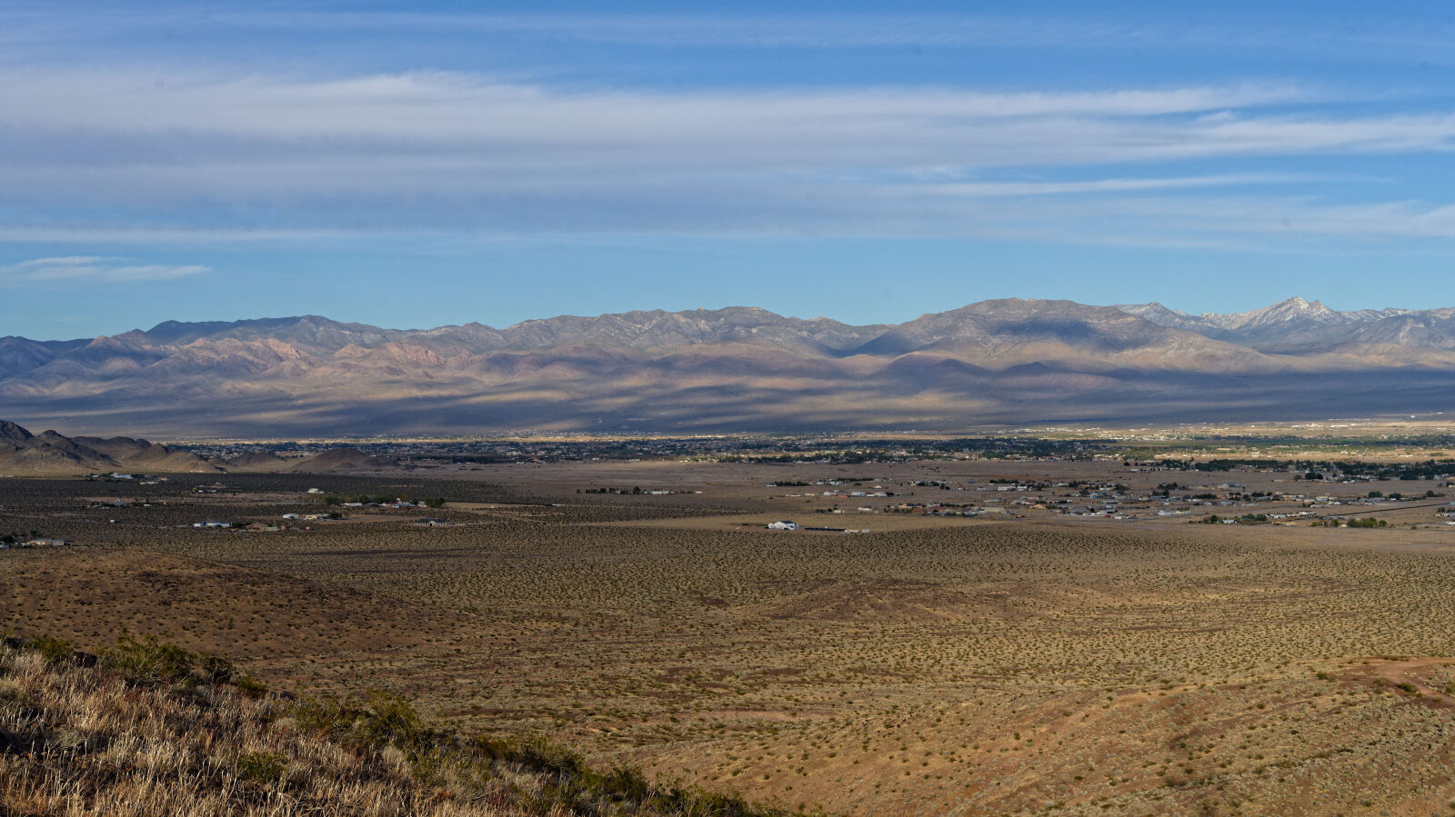
West Comm Tower Road is a short gravel service road in the desert west of Pahrump, Nevada. It leads up to communication towers on the ridge line and gives open views across the valley and surrounding ranges.
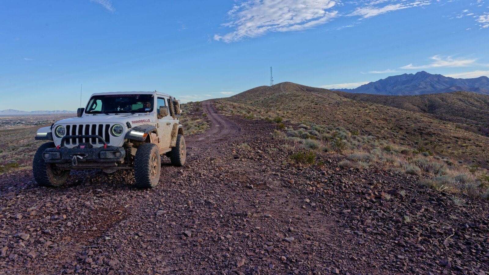
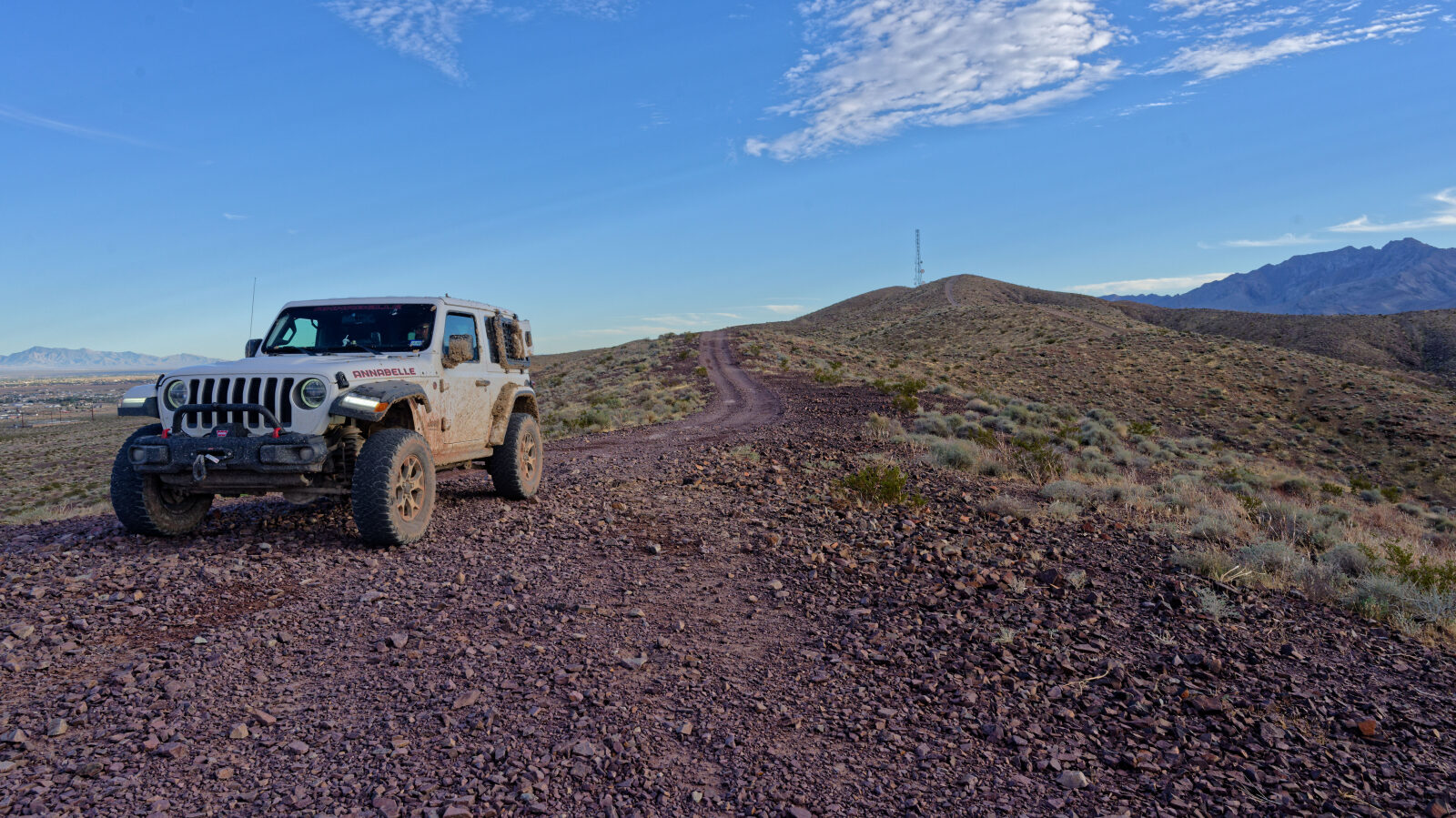
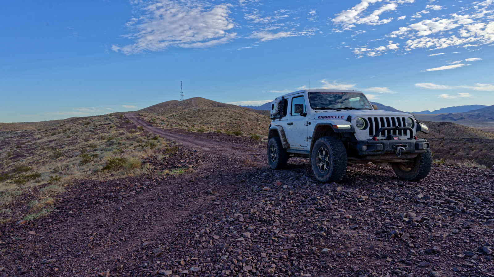
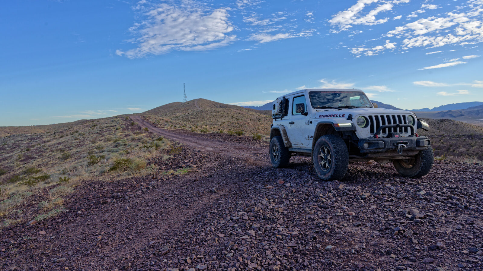
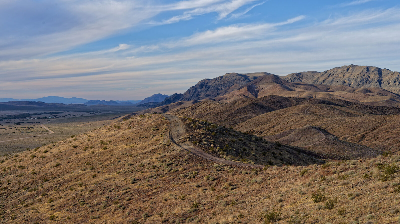
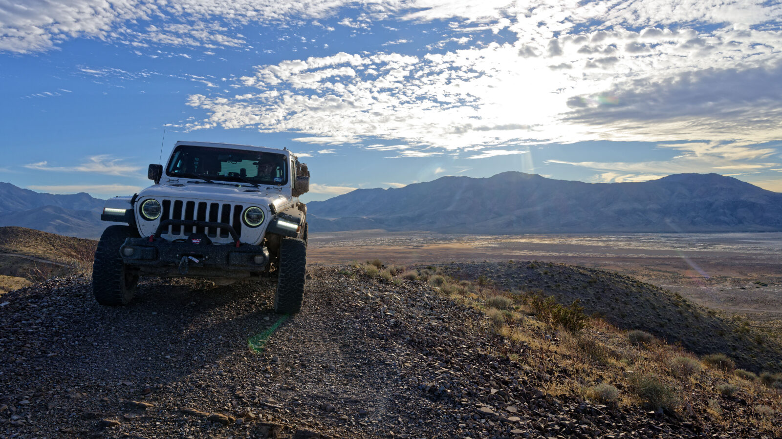
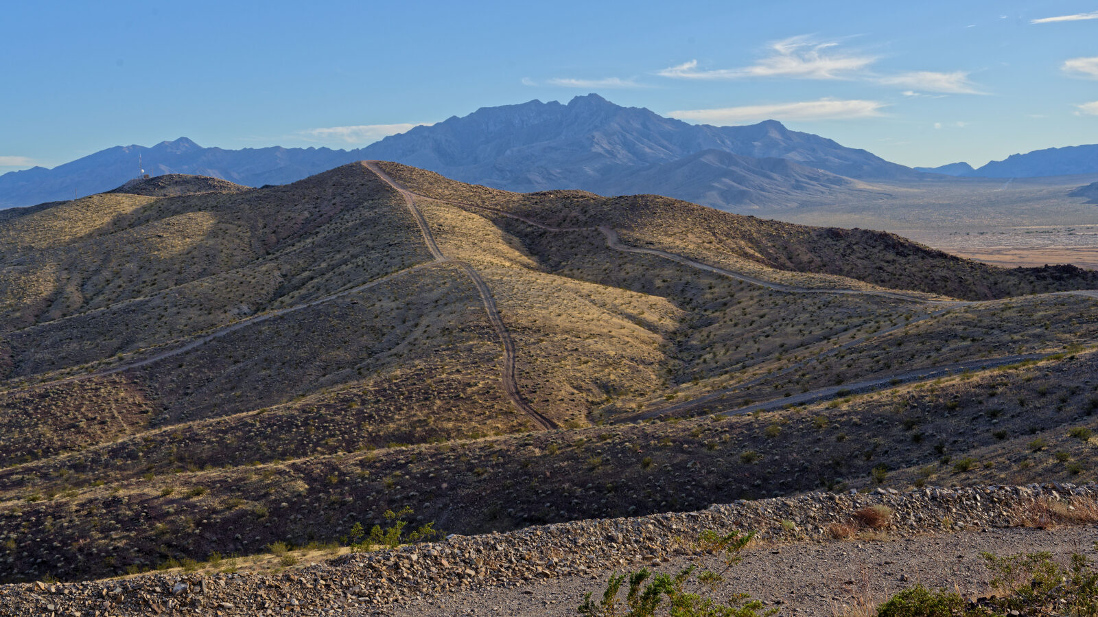
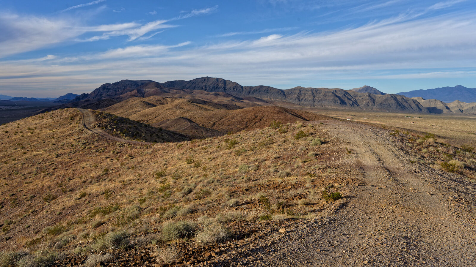
The road heads toward the mountain, then follows the ridge near the crest. The driver compared it to a Hogsback.
Map
The interactive map needs JavaScript. Every waypoint is also listed below.
Trail Summary
- LocationPahrump, Nevada
- Distance1.7 miles
- DifficultyLevel 3
- Elevation2,472 ft to 2,837 ft with a 365 ft change
- Travel Time16 minutes
Difficulty
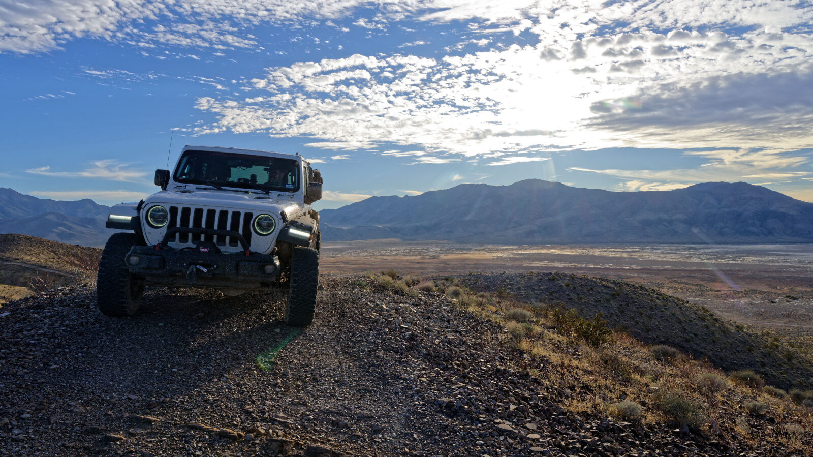
Best suited for a high clearance 4x4
This trail is rated Moderate (level 3), best suited to a high clearance 4x4. Expect an uneven surface with loose rocks, short steep grades and possible ledges or drops under 12 inches. Careful tire placement may be needed. The road is generally one vehicle wide with places to pass. The log notes loose gravel on one climb where you may have to spin your tires a little to get up.
Terrain
The road starts on a gravel surface. It climbs through desert terrain with loose gravel on the steeper pitches, then runs along a ridge toward the towers. There is a large ramp at one of the tower sites.
Highlights
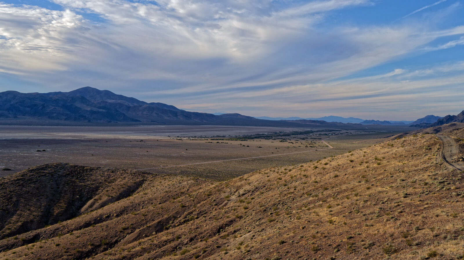
The ridge section gives wide views, and the road drops toward a second tower at the far end. A separate road also reaches that second tower and branches off West Comm Tower Road.
Waypoints
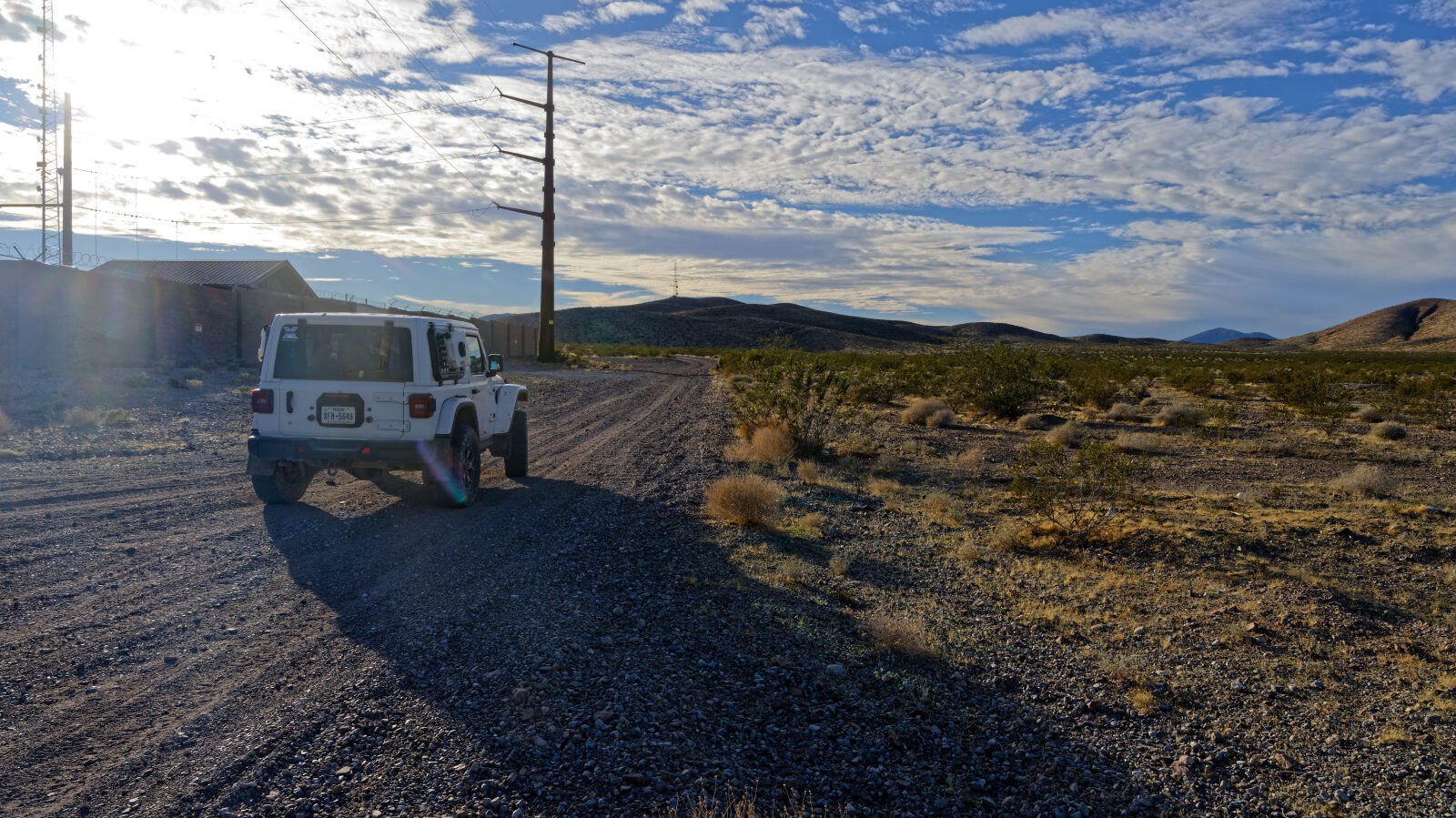
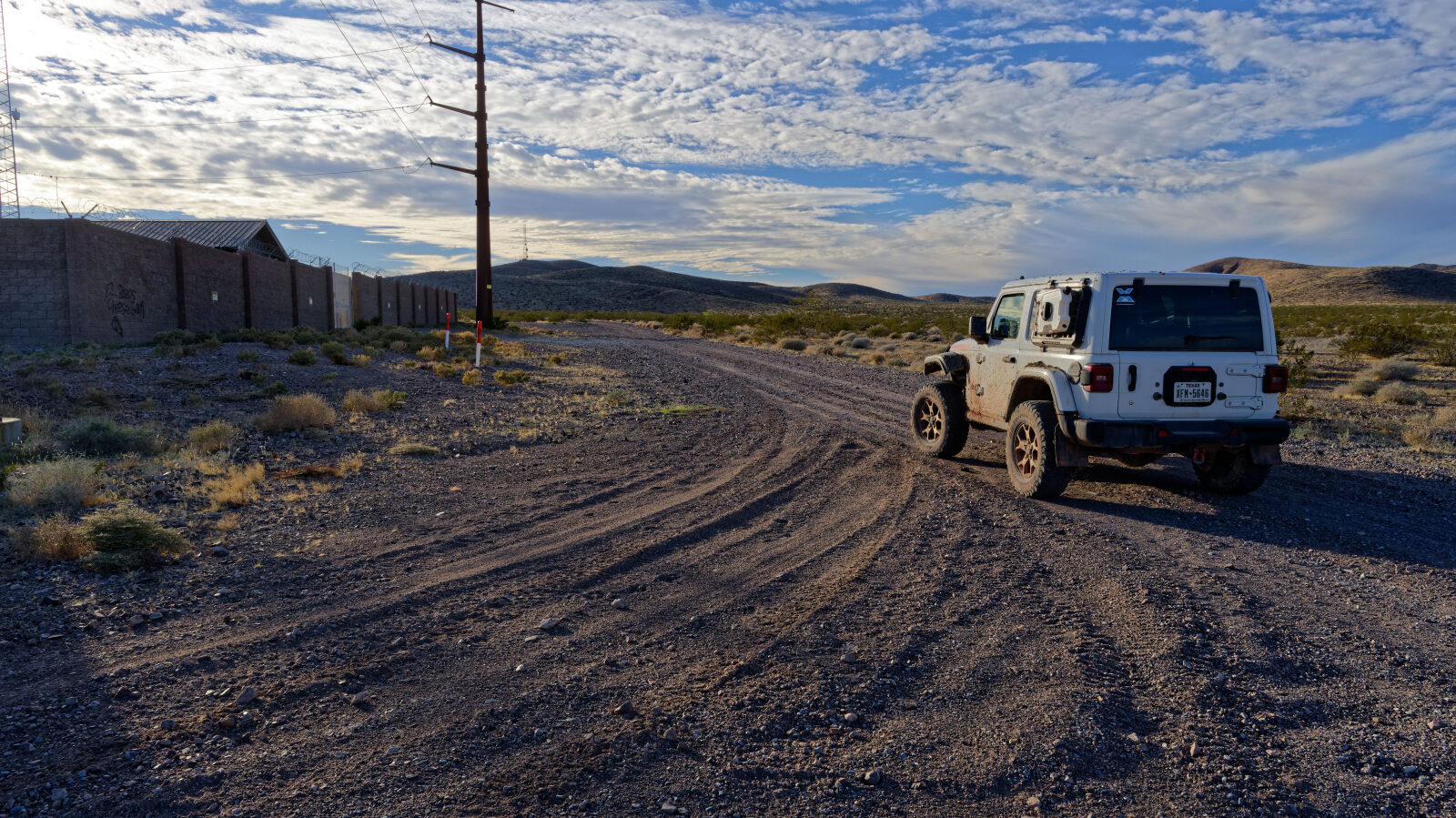
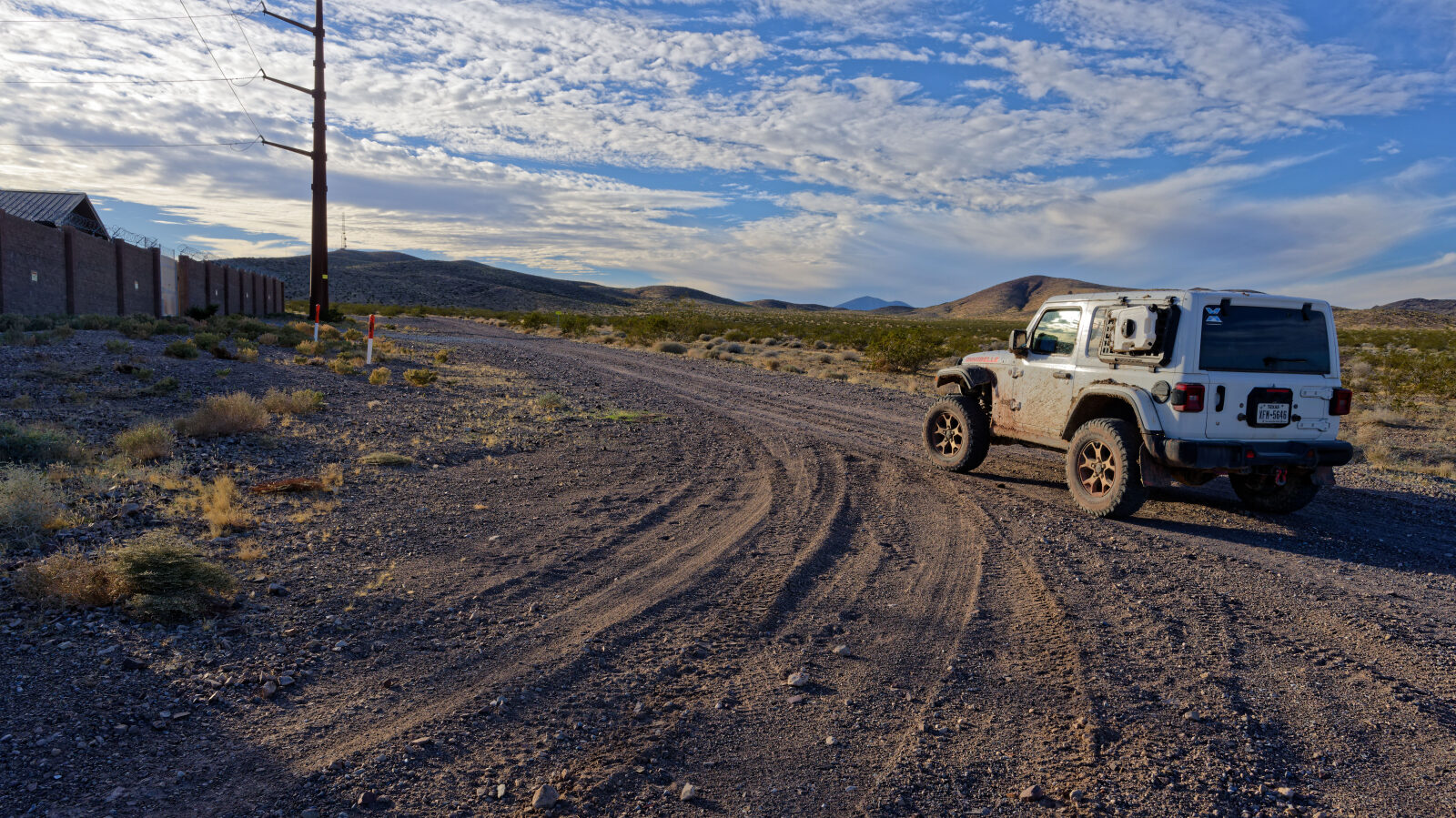
Waypoint 1 (36.20489, -116.11289)
This is the start of West Comm Site Road. It looked paved from a distance but is gravel.
Waypoint 2 (36.20298, -116.12547)
The climb off to the side would be a level 3, but the road does not go that way.
Waypoint 3 (36.20238, -116.12594)
Loose gravel here. You may have to spin your tires a little to get up.
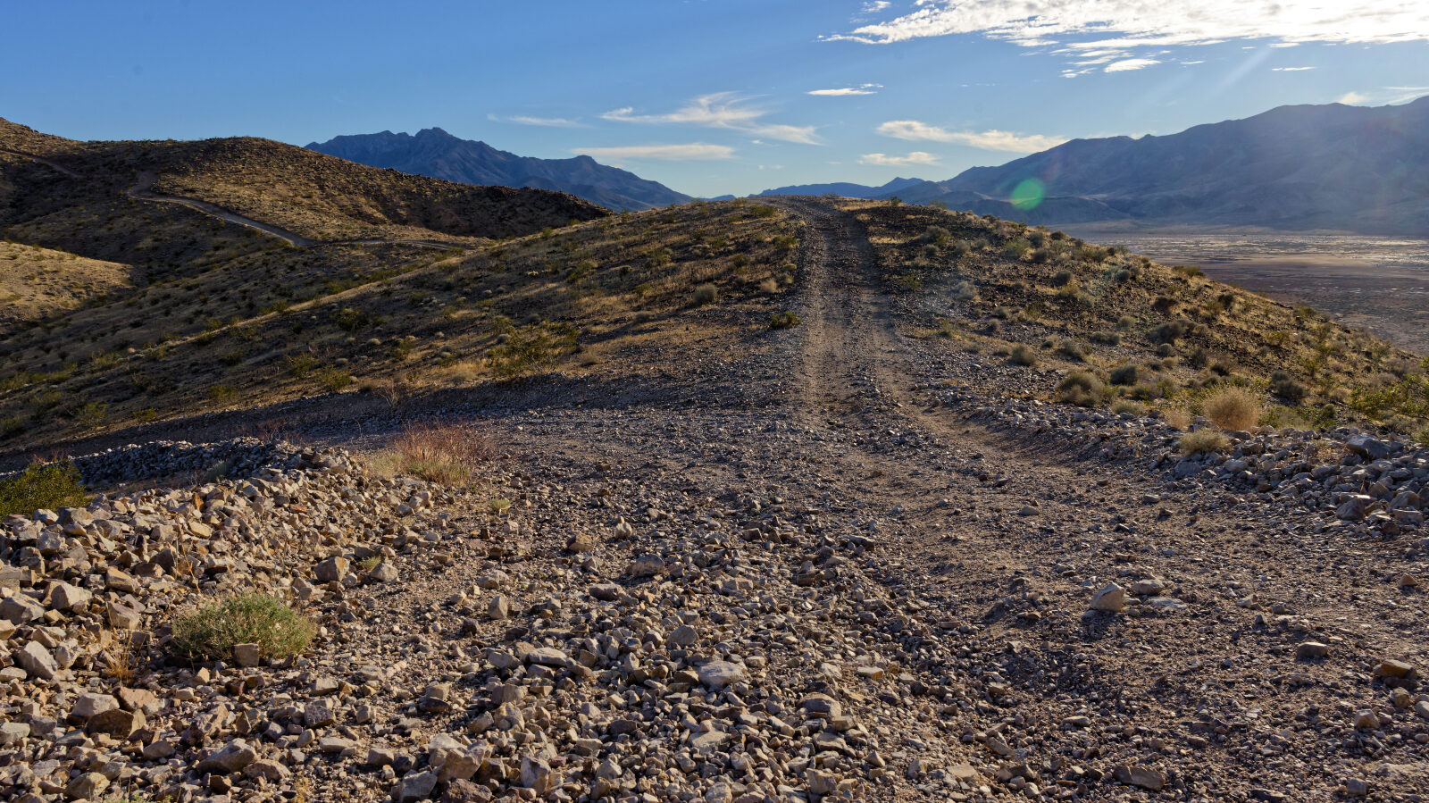
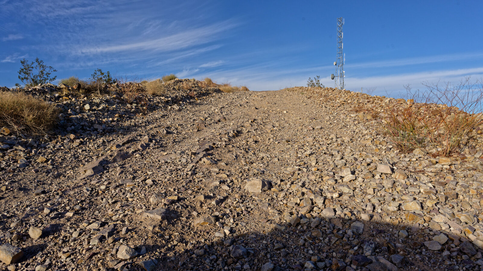
Waypoint 4 (36.20296, -116.12940)
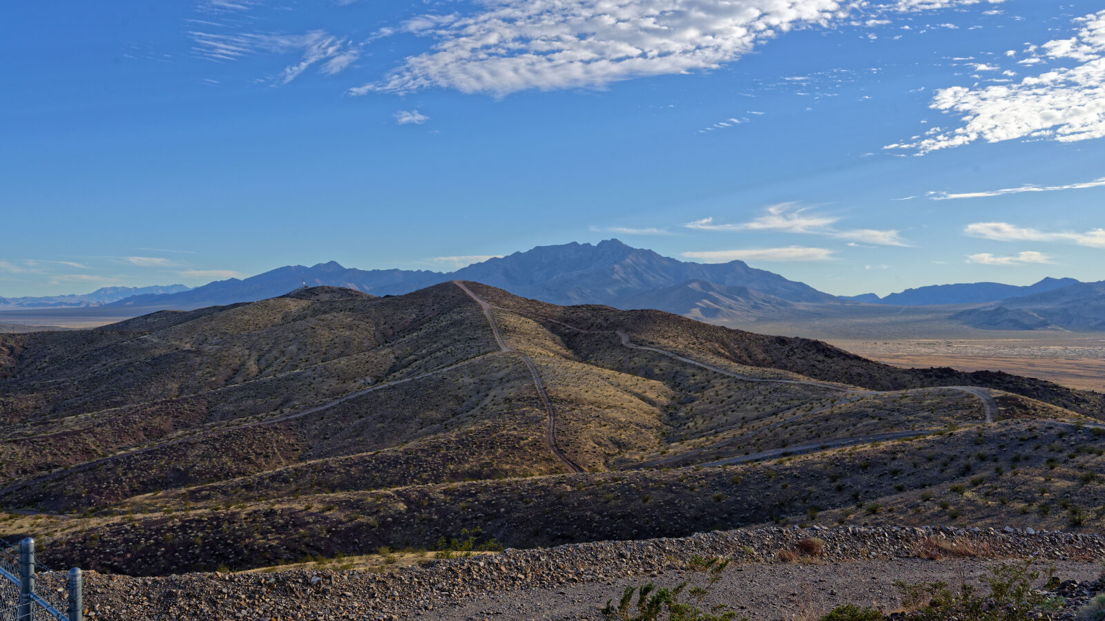
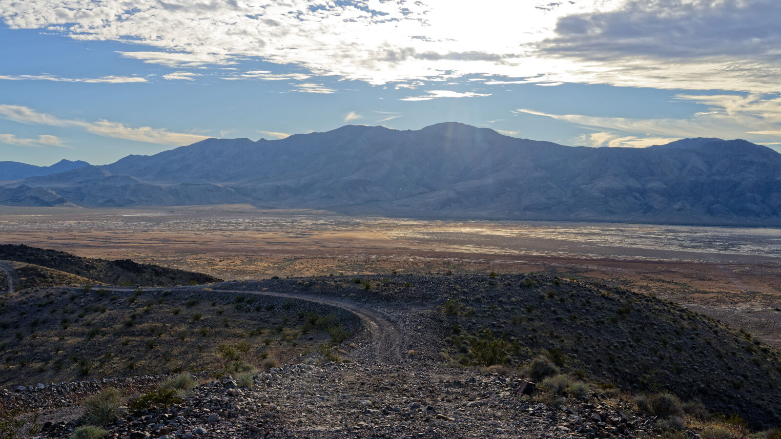
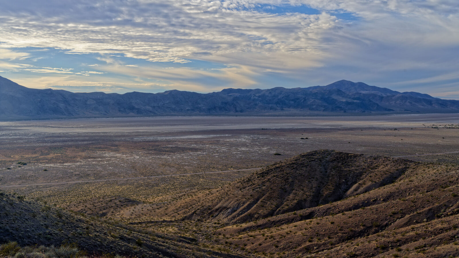
Waypoint 5 (36.20440, -116.12834)
The road heads down to the other tower, which has a pretty good size ramp. From here the road runs along the ridge at the peak of the mountain, similar to Hogsback or Fins and Things.