Black Rock Road - Level 2
Black Rock Road is a dirt road in southwestern Utah's Iron County that climbs from open desert country toward a high viewpoint. It follows washes and benches before working up a rocky hillside to a turnaround at the top.
The road sees regular use from Jeeps and other off-highway vehicles heading for the view, so expect to meet other traffic on the upper section.
Trail Summary
- LocationIron County, Utah
- Distance6.8 miles
- DifficultyLevel 2
- Elevation5,416 ft to 6,713 ft with a 1,297 ft change
- Travel Time48 minutes
Difficulty
Typically suitable for high clearance 2WD
Level 2 is Easy: typically suitable for high clearance 2WD. Stock equipment is enough, but the terrain will test tire traction and ground clearance. Expect dirt and rocky surfaces, ruts, dips and small ledges, and possibly shallow water. The road is usually unmaintained after rain or snow and one to two vehicles wide. The log marks a washout early on as a Level 1 to 2 spot that looks worse than it is. Take your time and any vehicle should get through. A second wash is also a Level 2 spot. It is not deep, but watch for rain. The steepest climb near the top has loose rock, and the driver notes it is steep enough that four-wheel drive is probably needed and would rate that short stretch Level 3. The trail is still rated Level 2 overall. A shelf road about 200 yards long, roughly one and a half Jeep widths wide, comes before the steep climb, and the steep climb is also a shelf road. Watch for oncoming traffic on both and pull over to let vehicles pass.
Terrain
The route is mostly dirt with rocky sections, crossing washes before it climbs. The upper part is a steep climb on loose rock along a shelf road.
Highlights
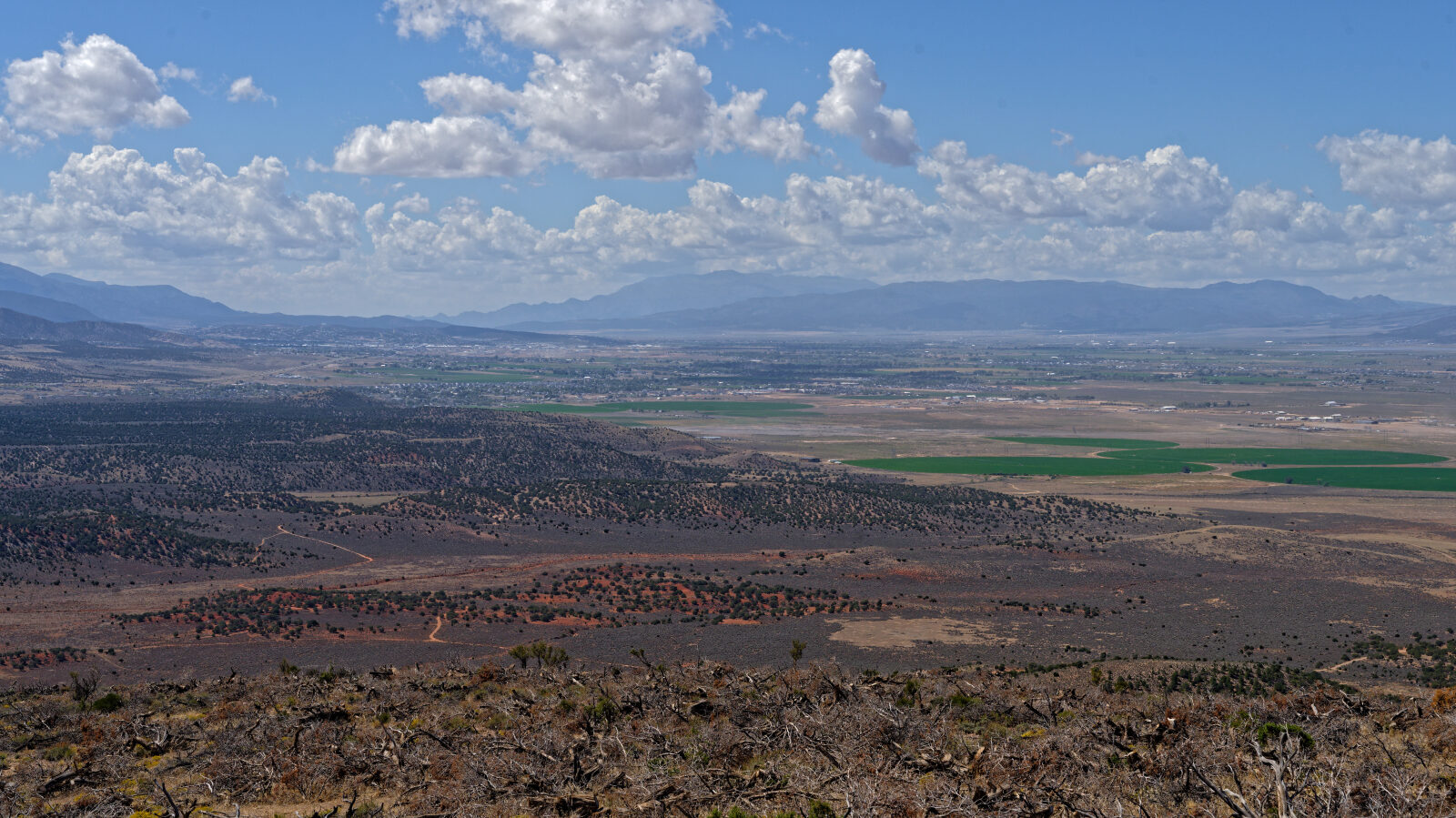
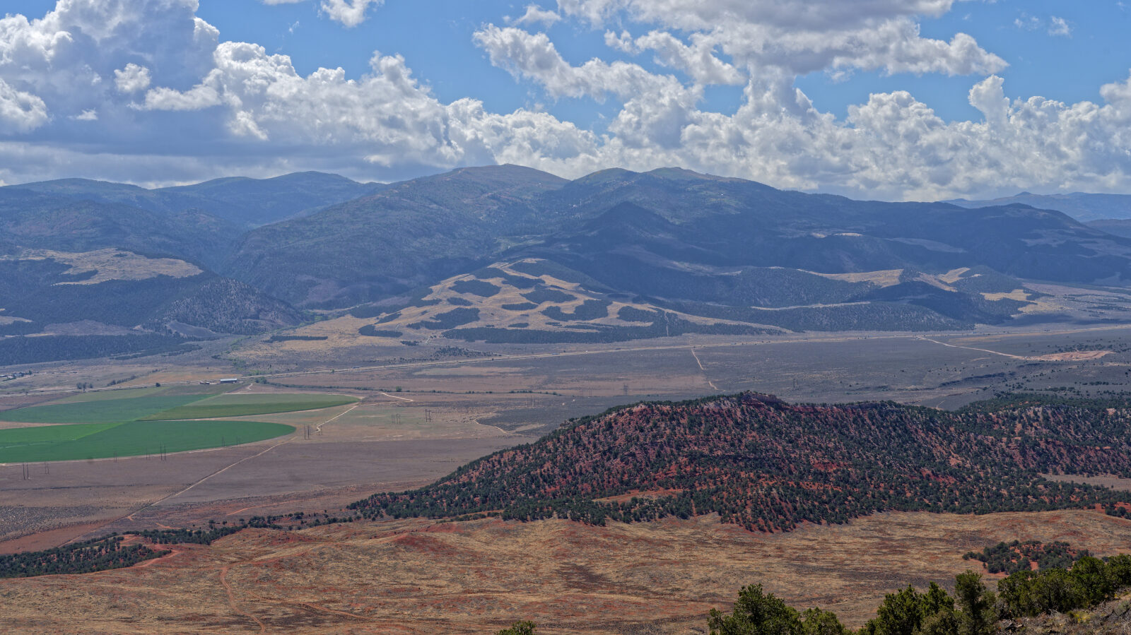
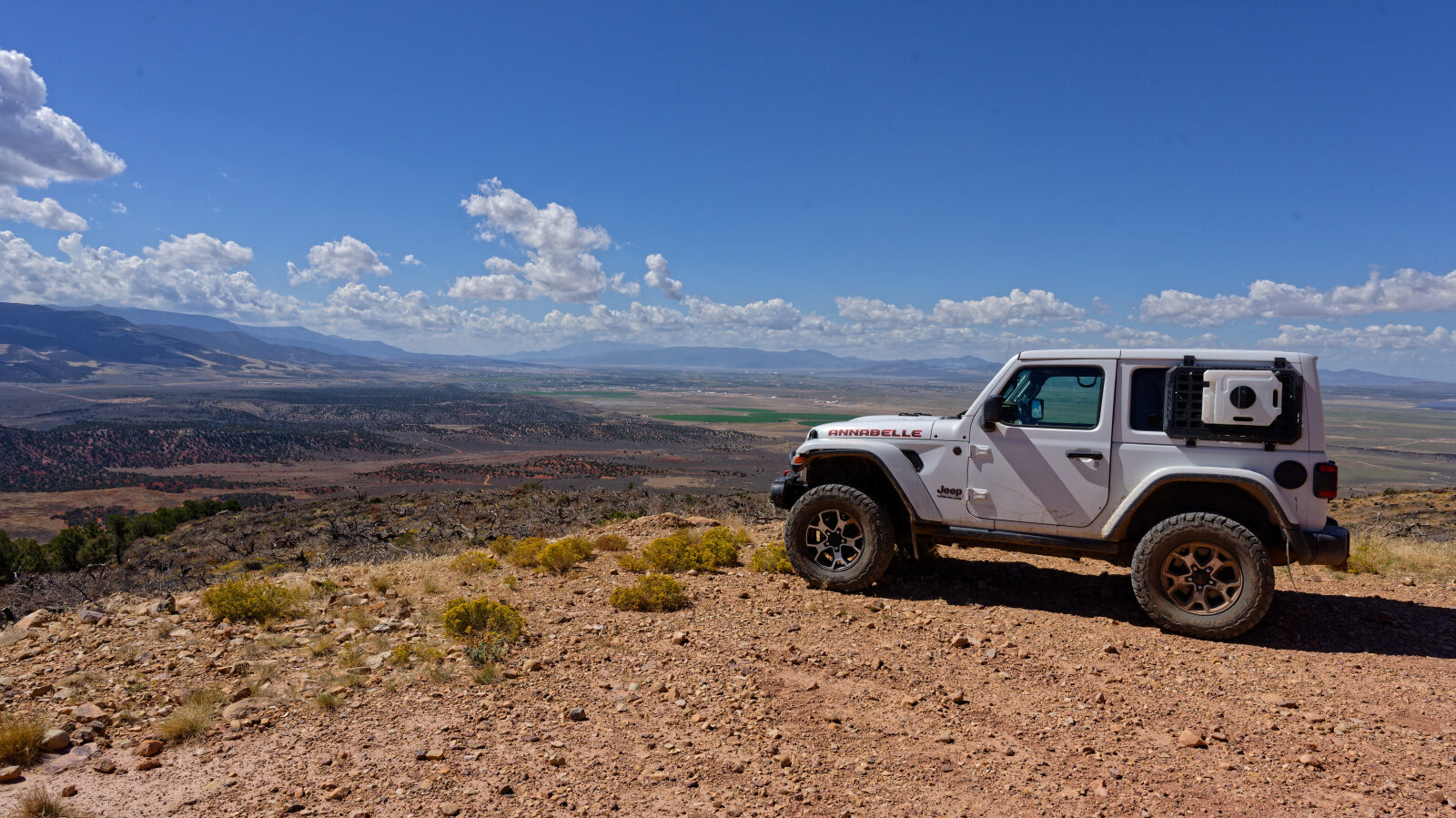
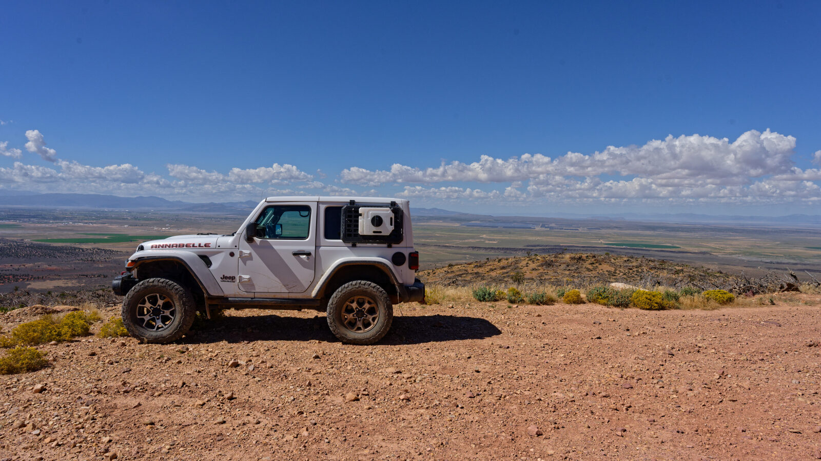
A camping spot partway along fits one or two smaller rigs, but larger rigs cannot get into it. At the top there is a turnaround with a great view, and several Jeeps are often parked there.
Map
The interactive map needs JavaScript. Every waypoint is also listed below.
Waypoints
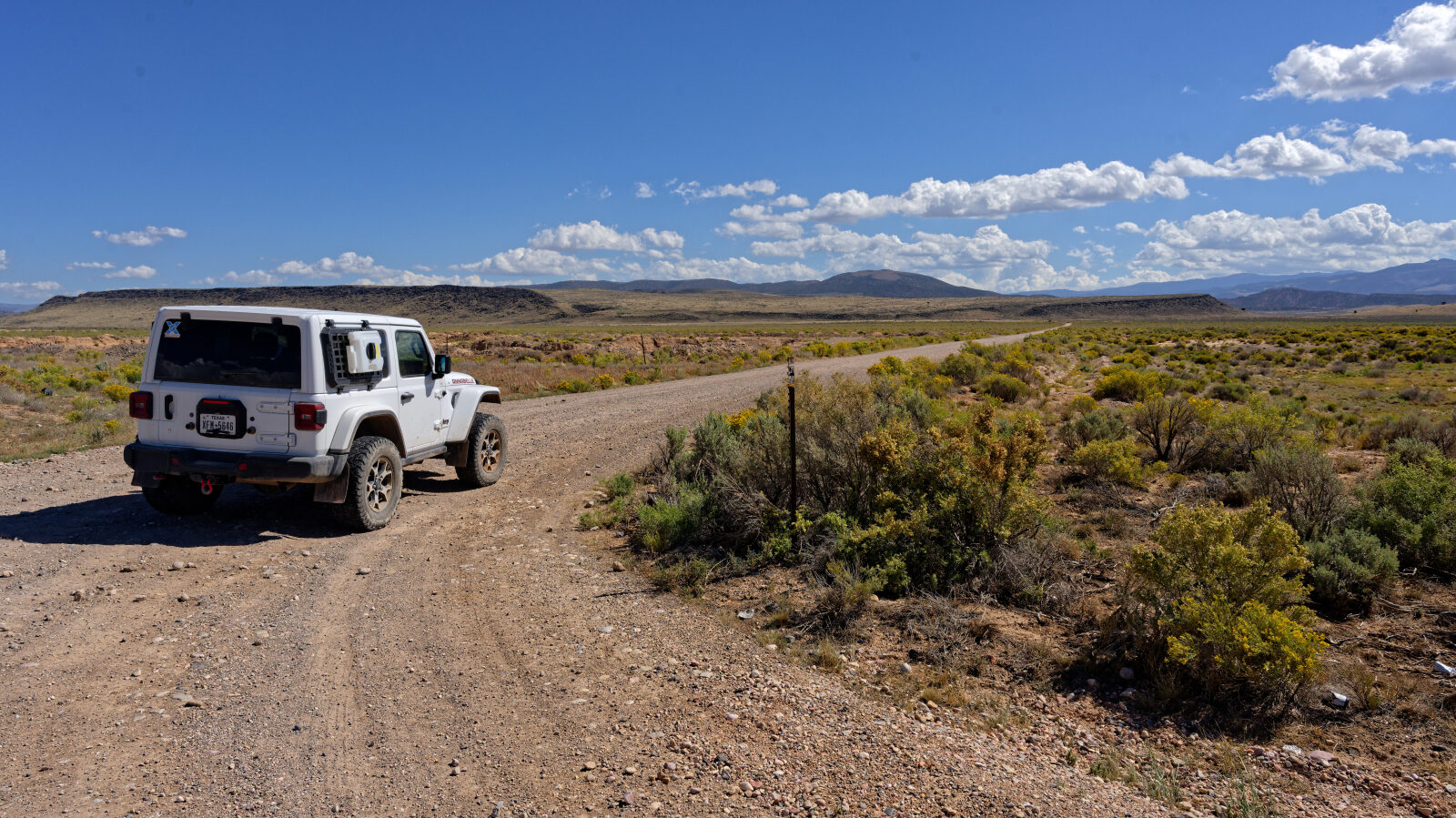
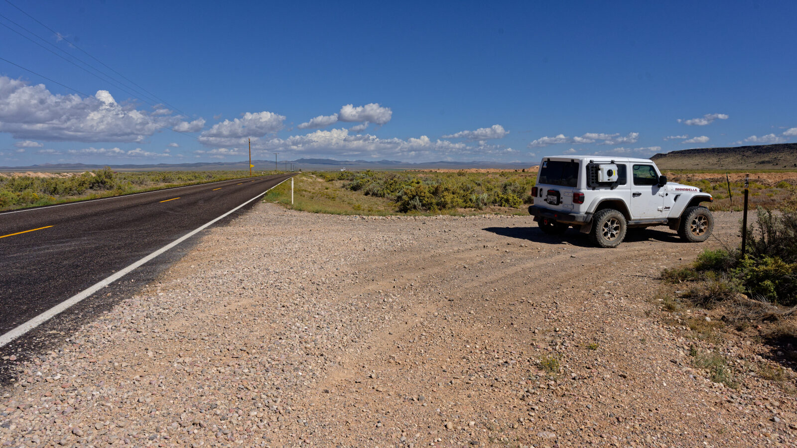
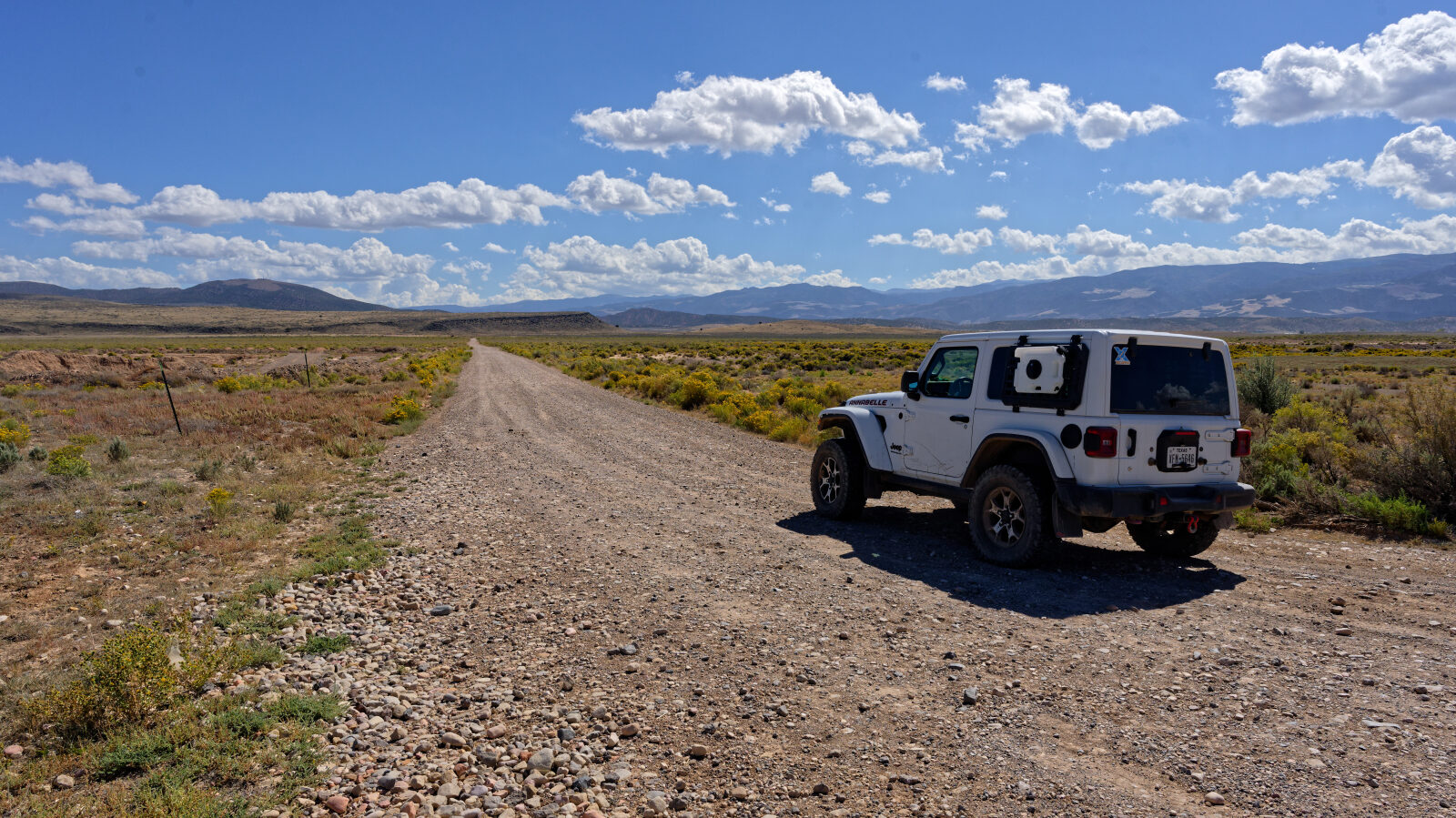
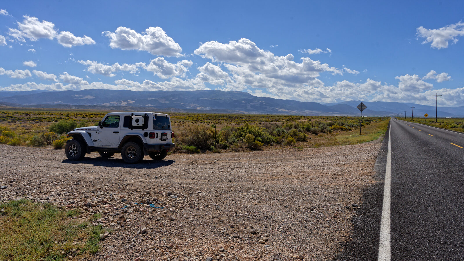
Waypoint 1 (37.83155, -113.05018)
The start of Black Rock Road.
Waypoint 2 (37.82857, -113.03189)
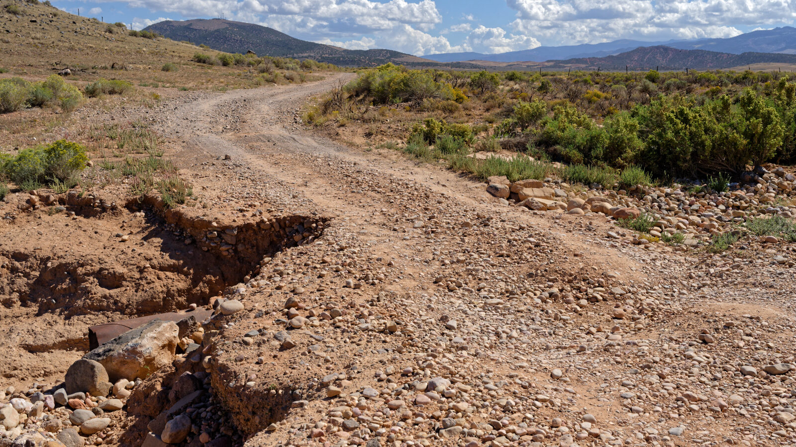
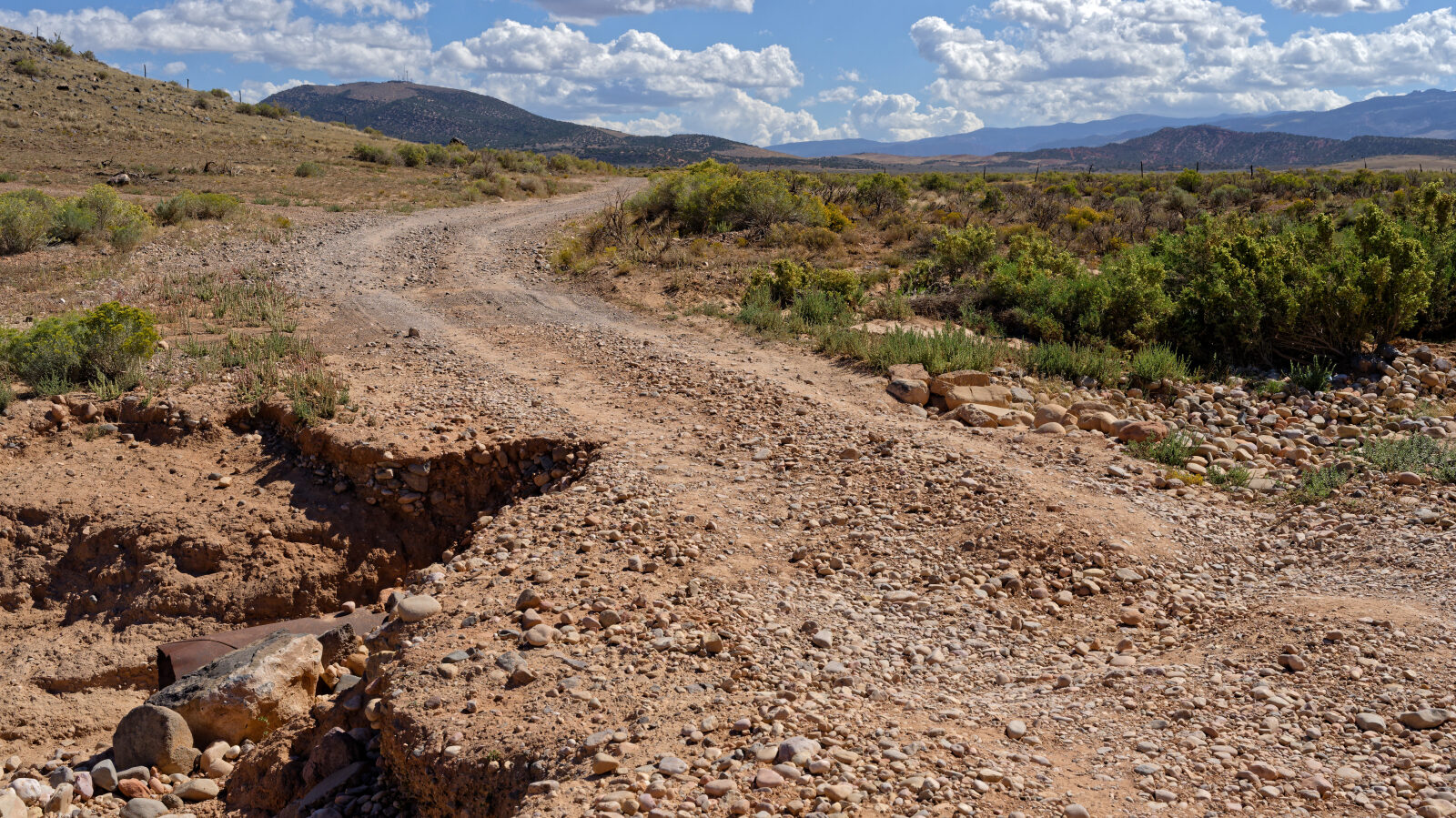
A washout in the road that looks scary but is easy. Take your time and any vehicle should get through.
Waypoint 3 (37.83154, -113.02774)
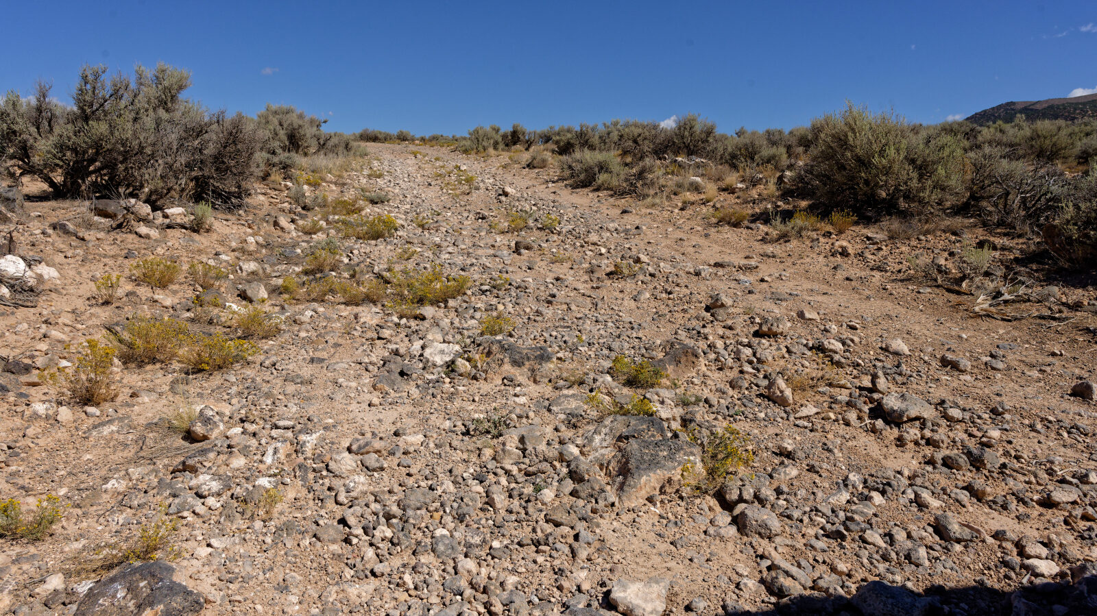
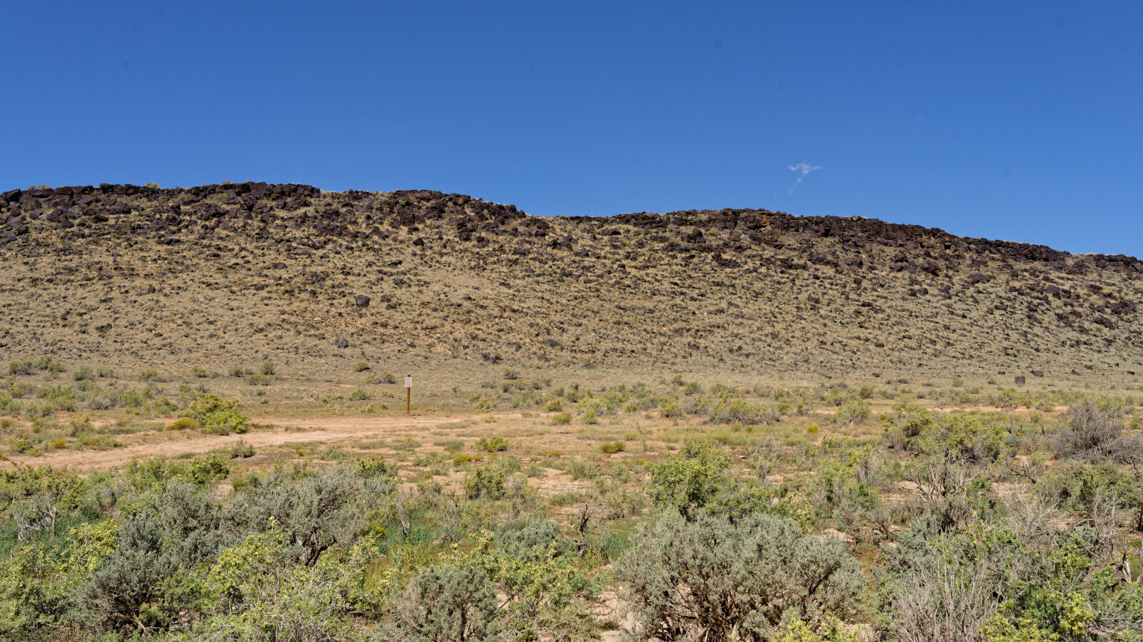
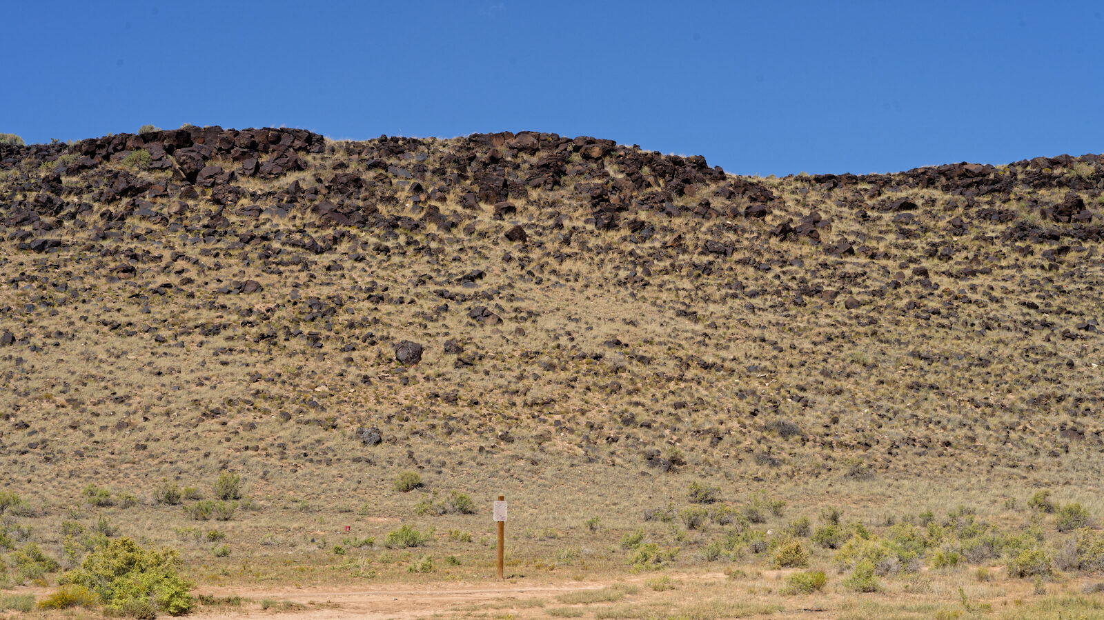
Waypoint 4 (37.82992, -113.00594)
A Level 2 hard spot with a wash. It is not too deep, but watch for rain.
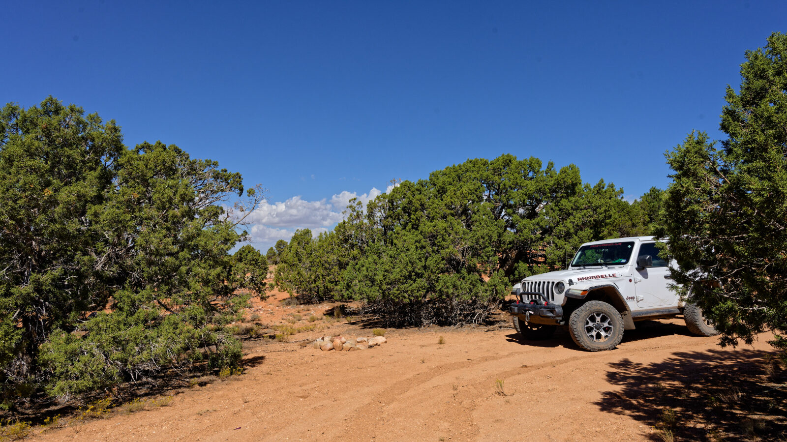
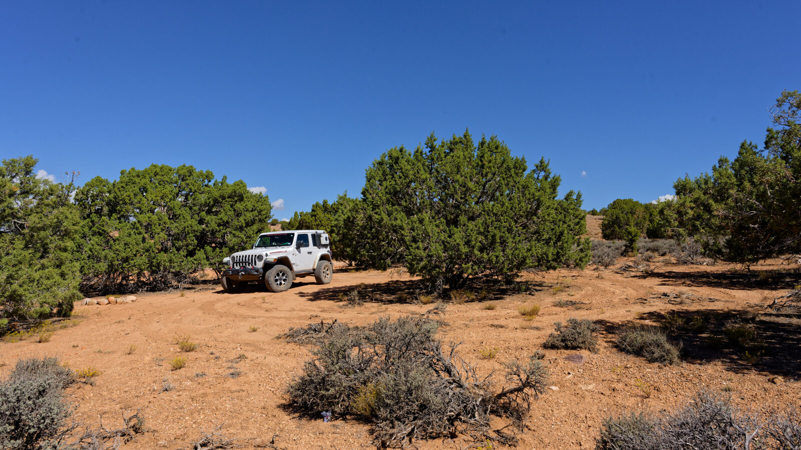
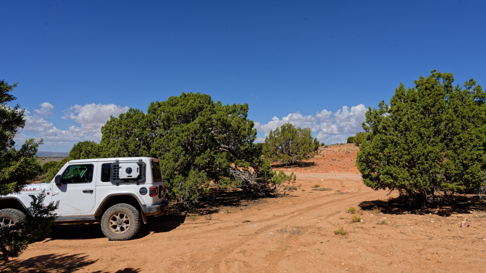
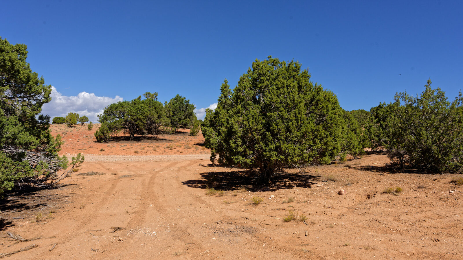
Waypoint 5 (37.82950, -112.99457)
A camping spot for one or two smaller rigs. Large rigs cannot get into it.
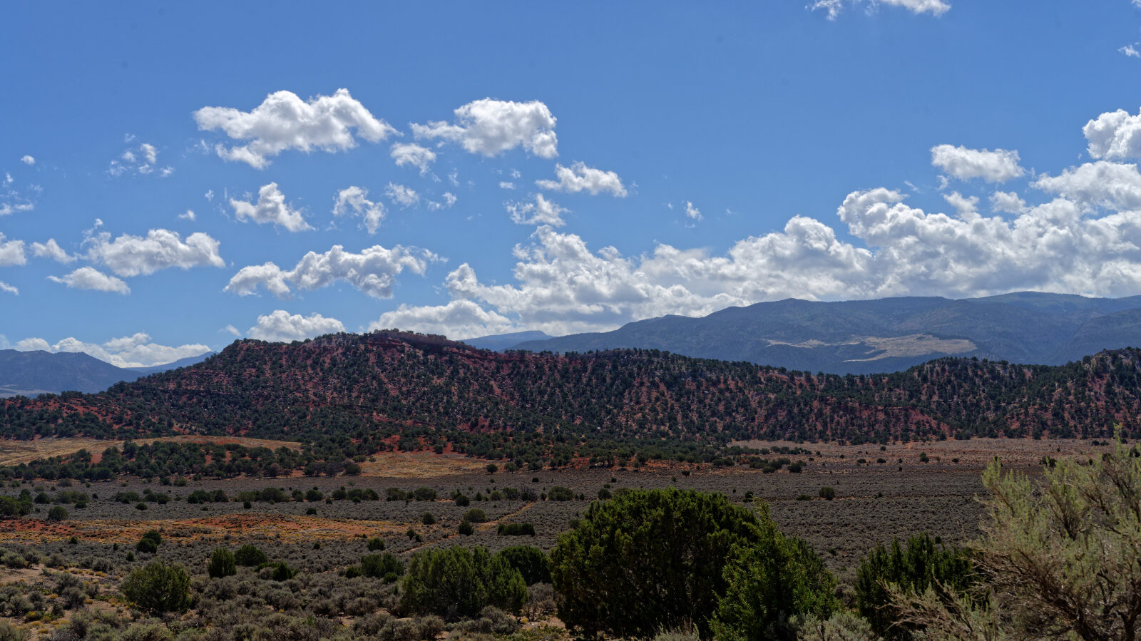
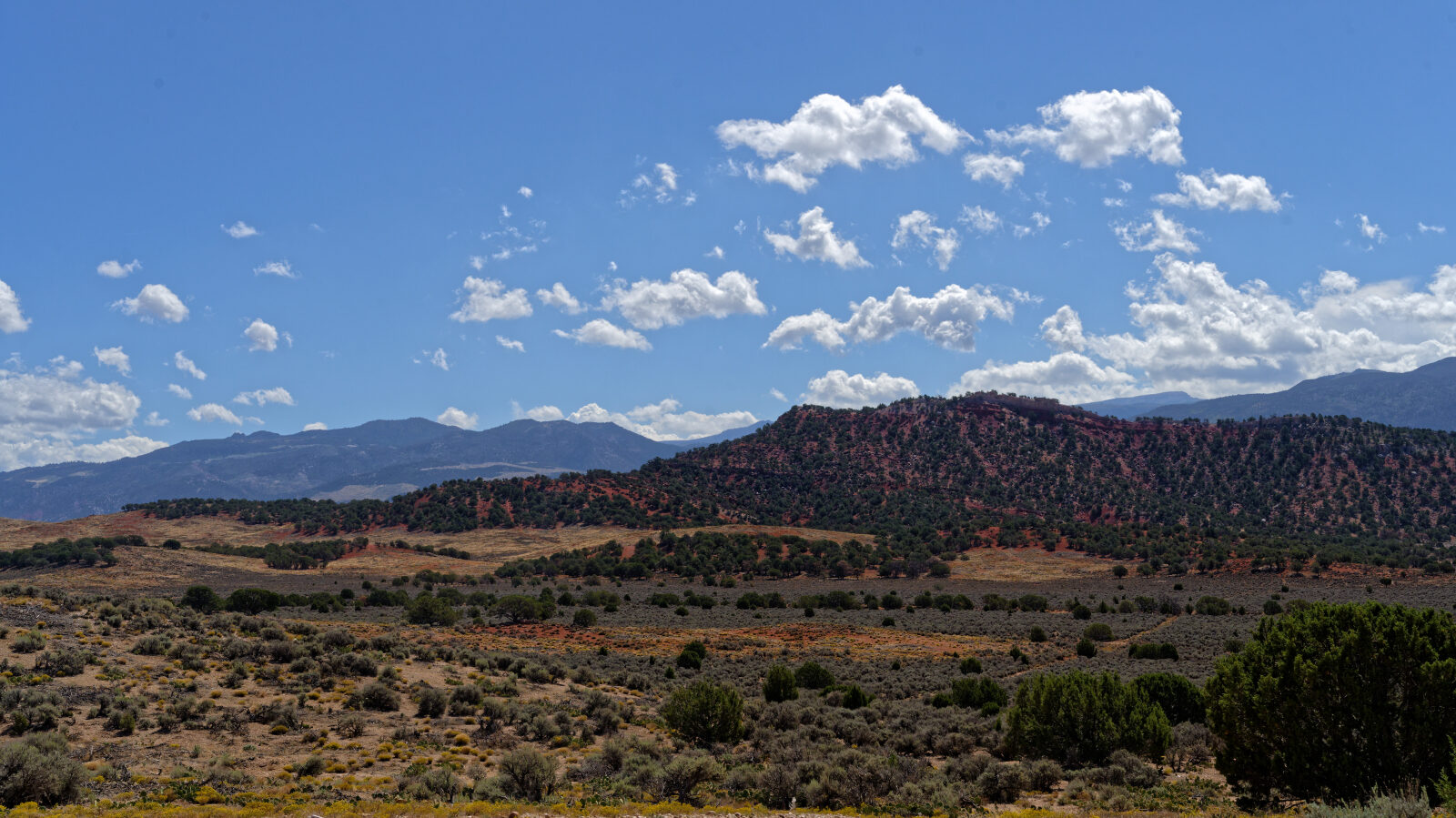
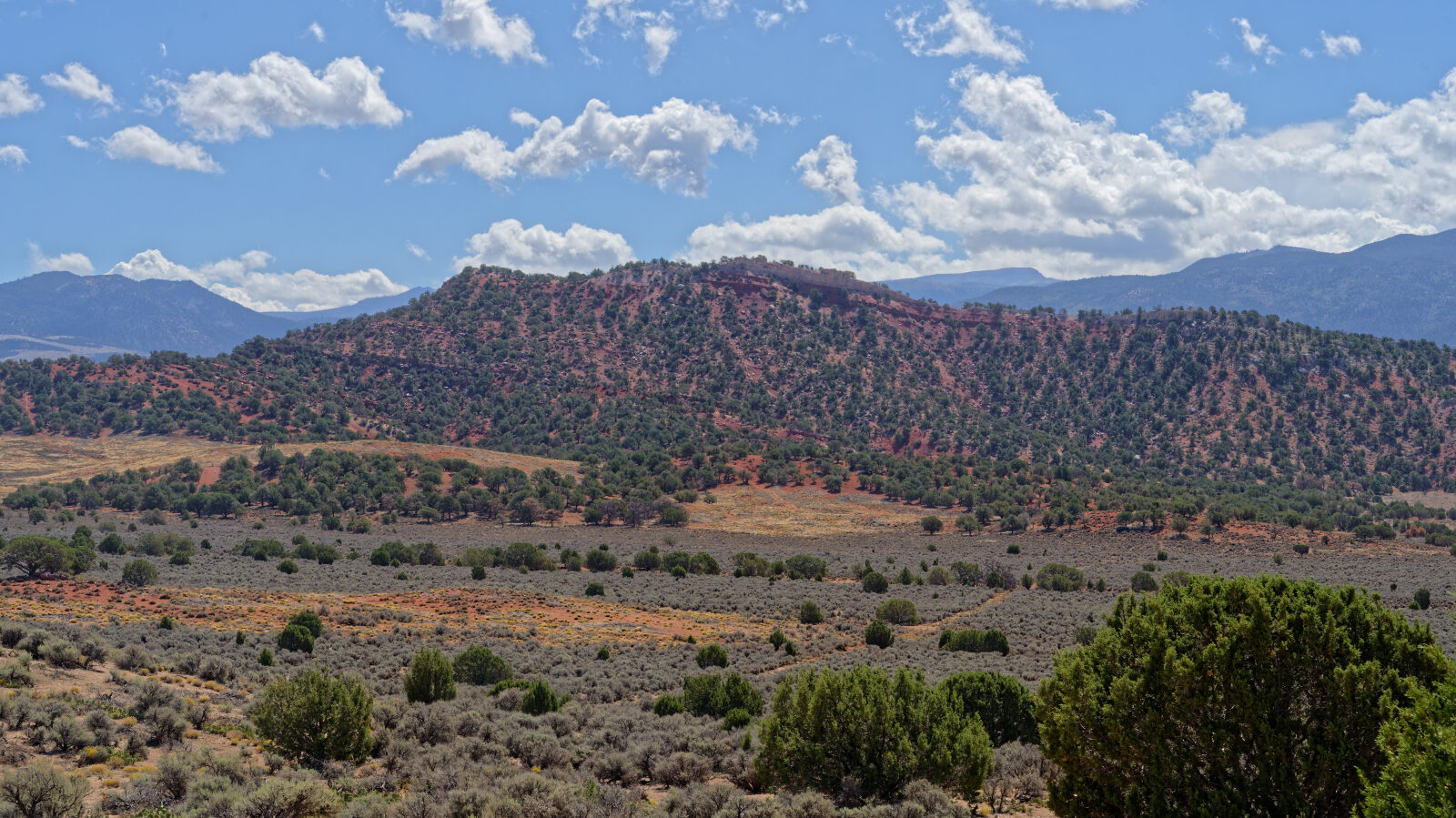
Waypoint 6 (37.82983, -112.98879)
Waypoint 7 (37.84072, -112.97176)
A 200 yard shelf road about one and a half Jeeps wide. Watch for oncoming traffic.
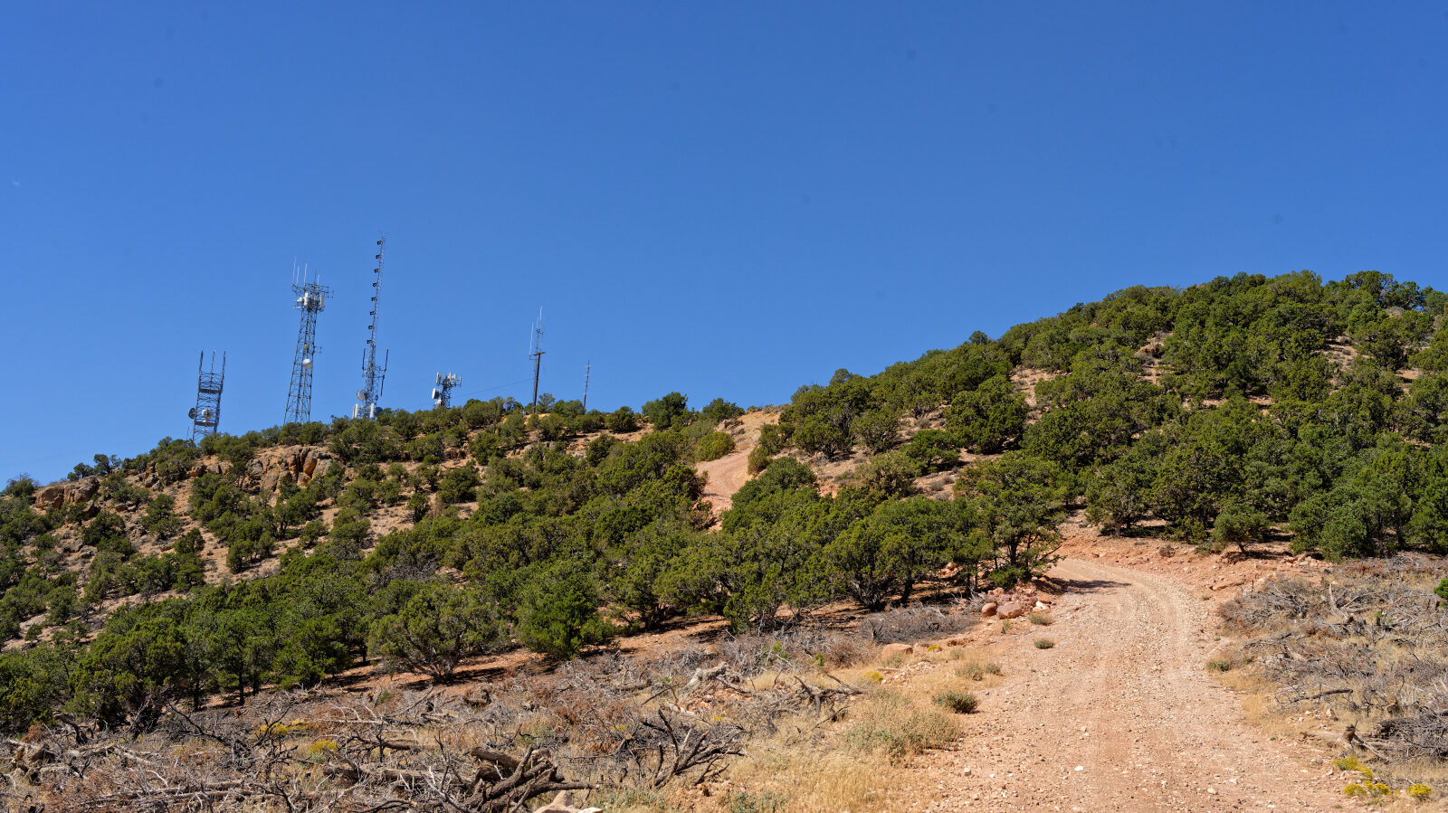
Waypoint 8 (37.84297, -112.97210)
The steepest part begins here. Four-wheel drive is probably needed and the loose rock makes it Level 3.
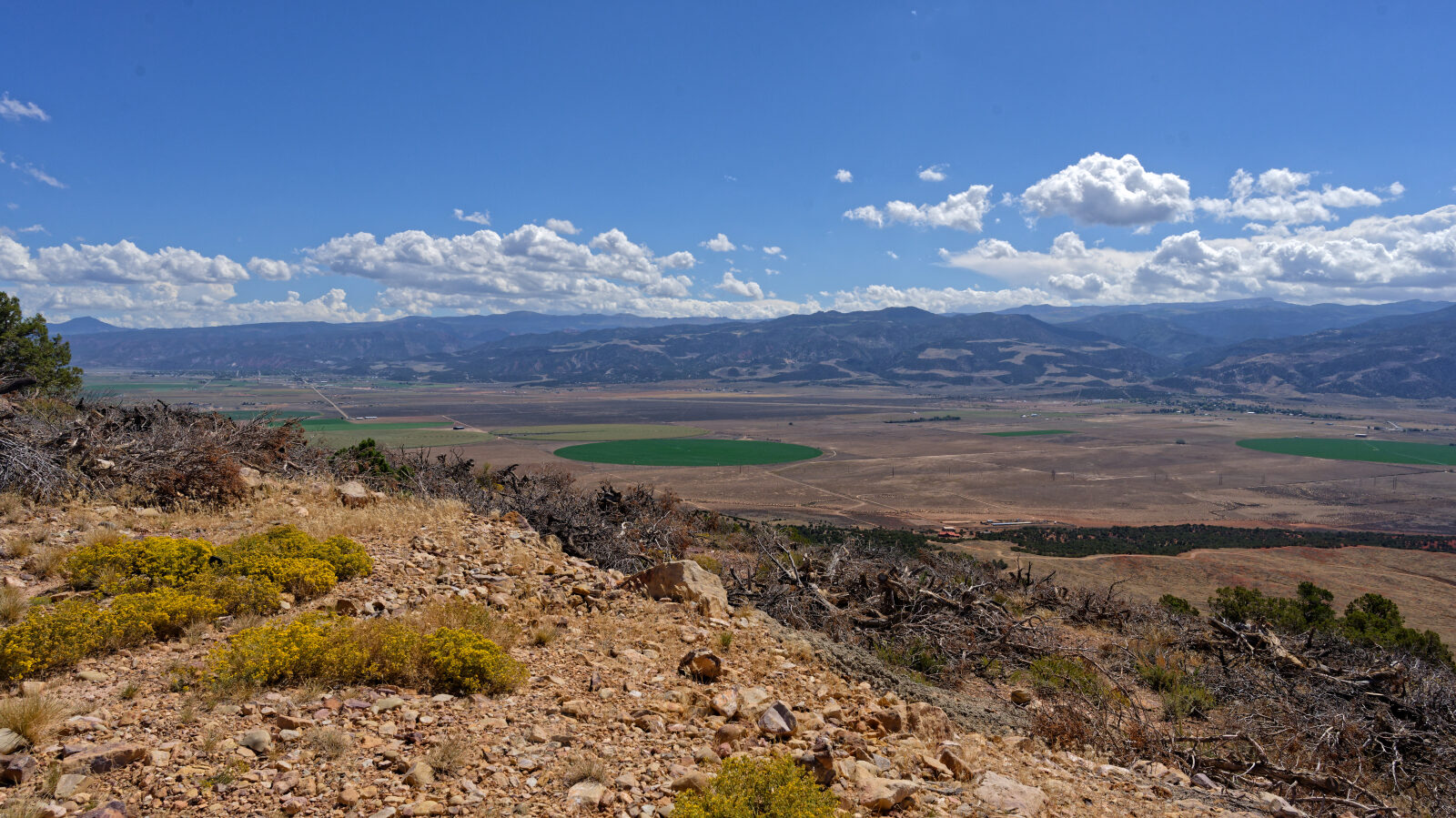
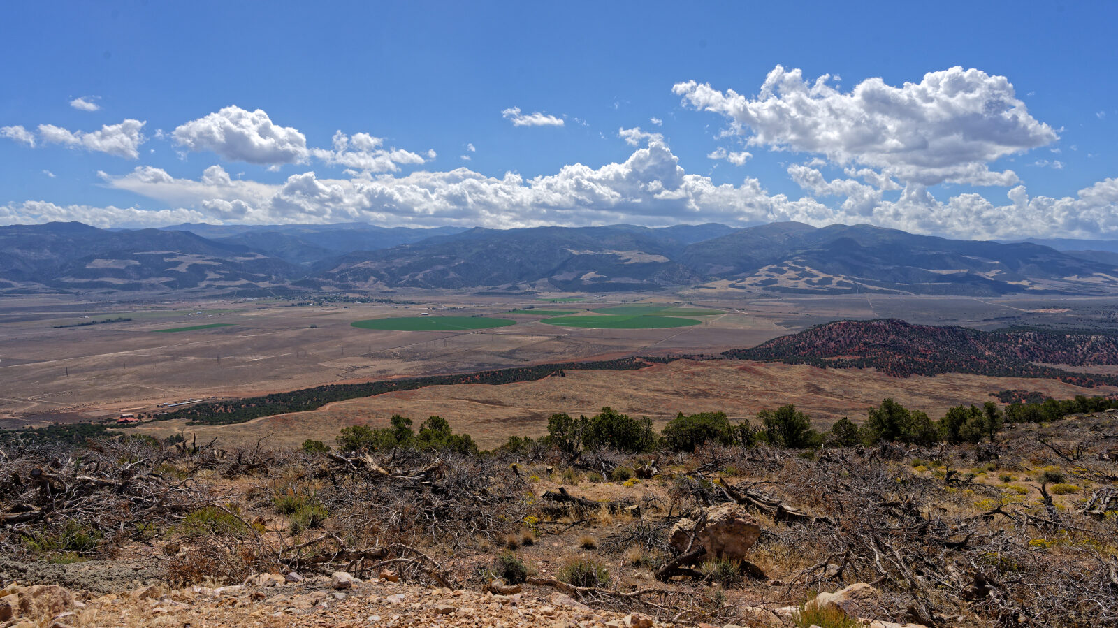
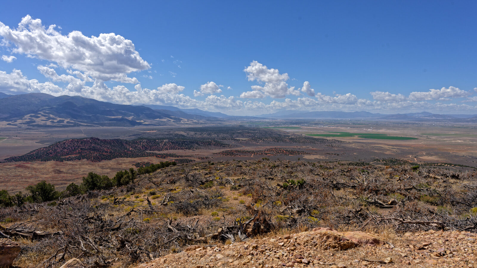
Waypoint 9 (37.84159, -112.97525)
The steep section is a shelf road, so watch for oncoming traffic. The top has a turnaround and a great view, usually with several Jeeps parked.