Braffits Creek Road - Level 2
Braffits Creek Road is a short dirt road on BLM land in the high desert of Iron County, southwestern Utah. It runs north from its start through open country and ends at a dead end near the creek drainage.
The road suits a relaxed drive and gives access to quiet backcountry with little traffic.
Trail Summary
- LocationIron County, Utah
- Distance3.4 miles
- DifficultyLevel 2
- Elevation5,551 ft to 5,883 ft with a 332 ft change
- Travel Time26 minutes
Difficulty
Typically suitable for high clearance 2WD
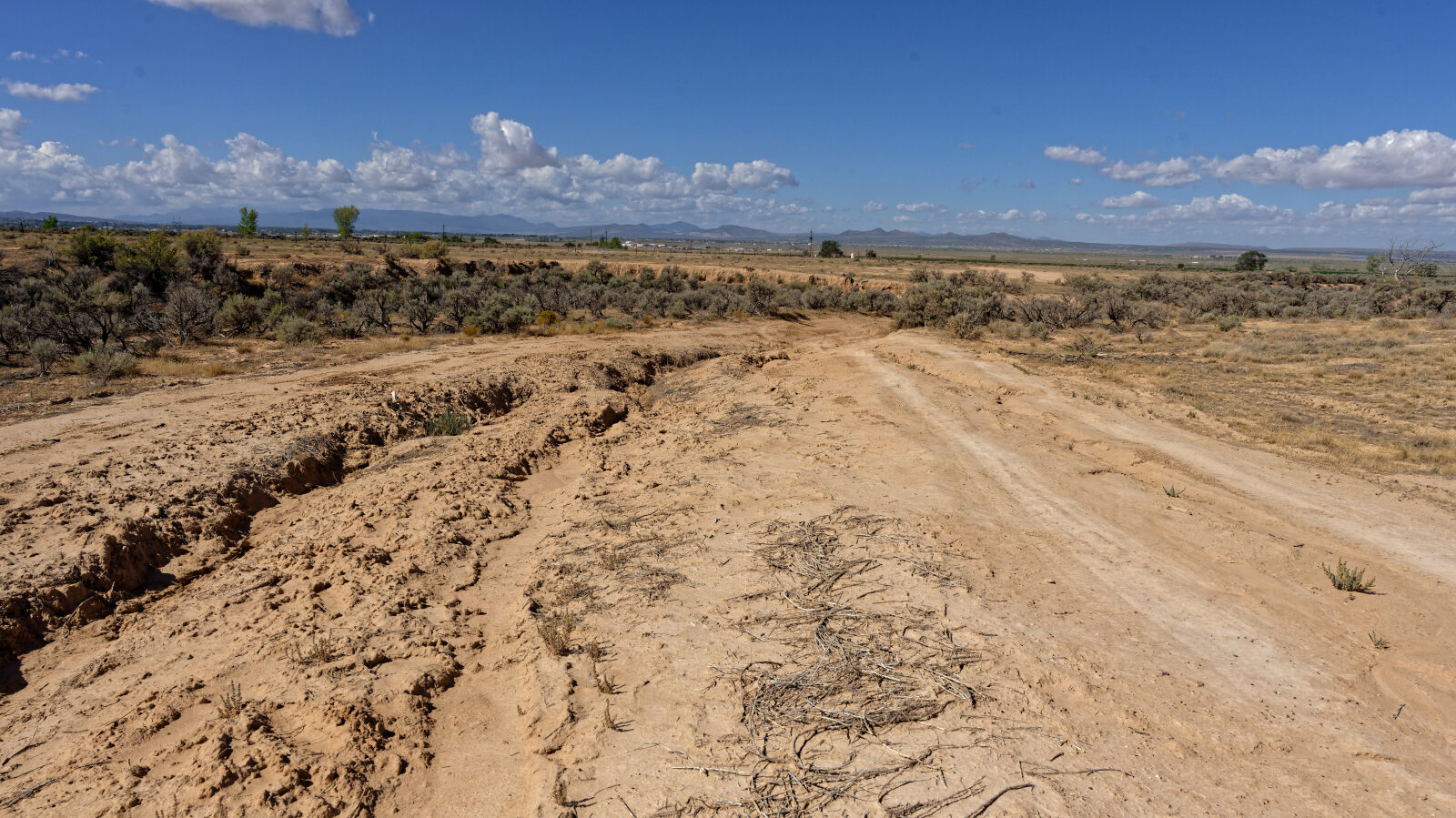
This trail is rated level 2, Easy. It is typically suitable for a high clearance 2WD vehicle. Stock equipment is sufficient, but the terrain can test tire traction and ground clearance. Expect dirt or rocky road with dips, ruts and rocks under about 9 inches, and possible shallow water or small ledges under 12 inches. The road is typically unmaintained after rain or snow. The log marks a level 2 hard spot at waypoint 2, which is a rut or dip. Near the end, the log says the washes are fine for high clearance two-wheel drive on a dry day, but after any rain or wet conditions you will want four-wheel drive.
Terrain
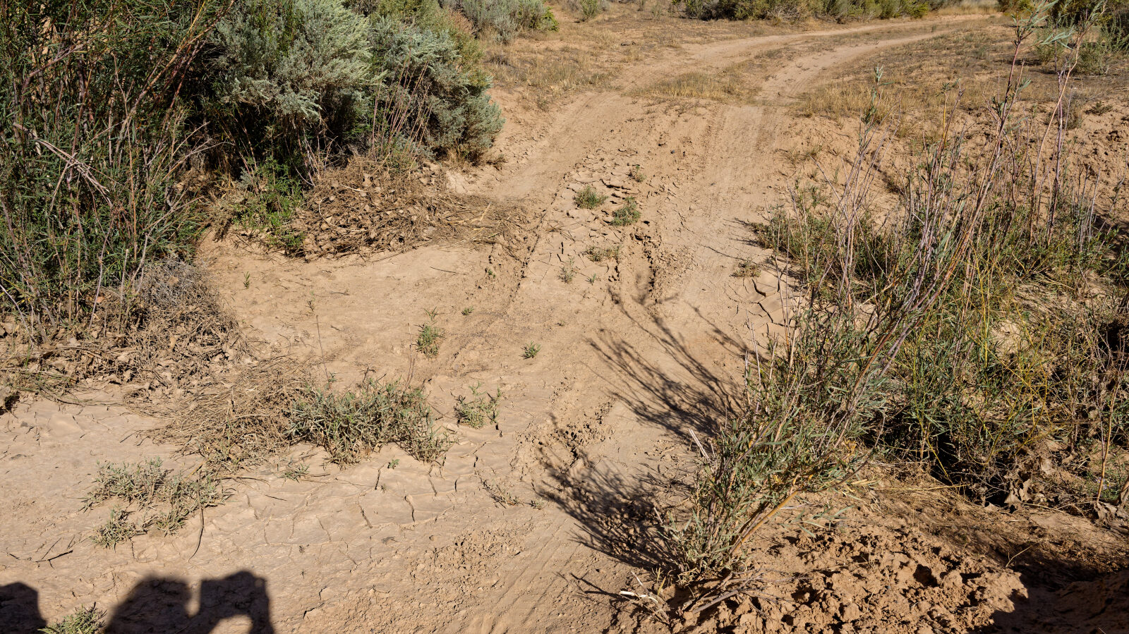
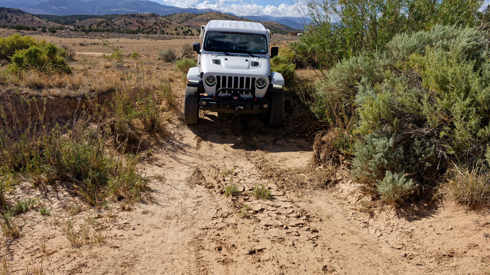
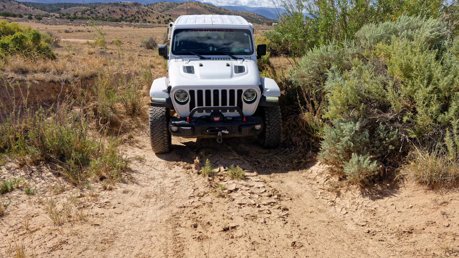
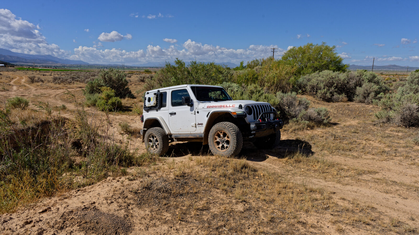
The road is a dirt track that crosses two washes near its northern end. The log identifies one of them as the deepest. The surface in the washes can change with weather, and the track is generally one to two vehicles wide.
Map
The interactive map needs JavaScript. Every waypoint is also listed below.
Waypoints
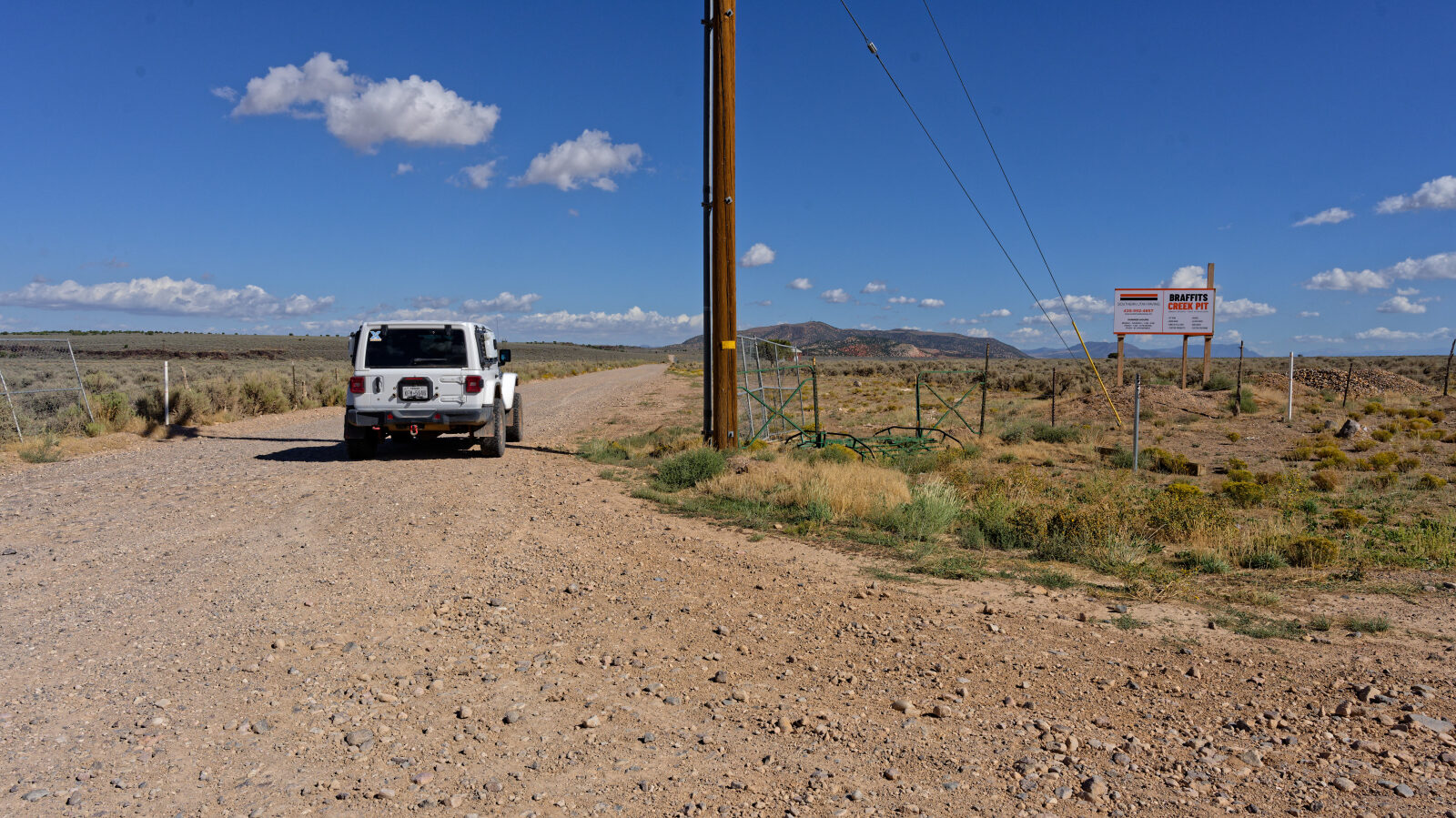
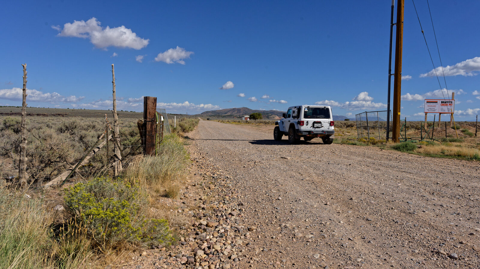
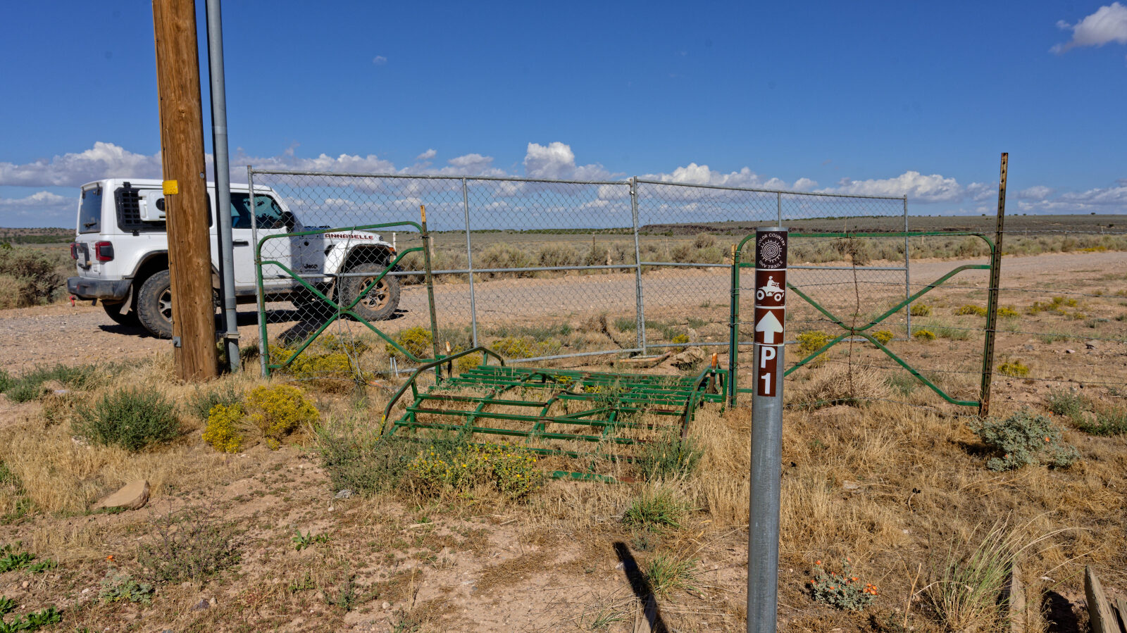
Waypoint 1 (37.78020, -112.98626)
Braffits Creek Road starts here.
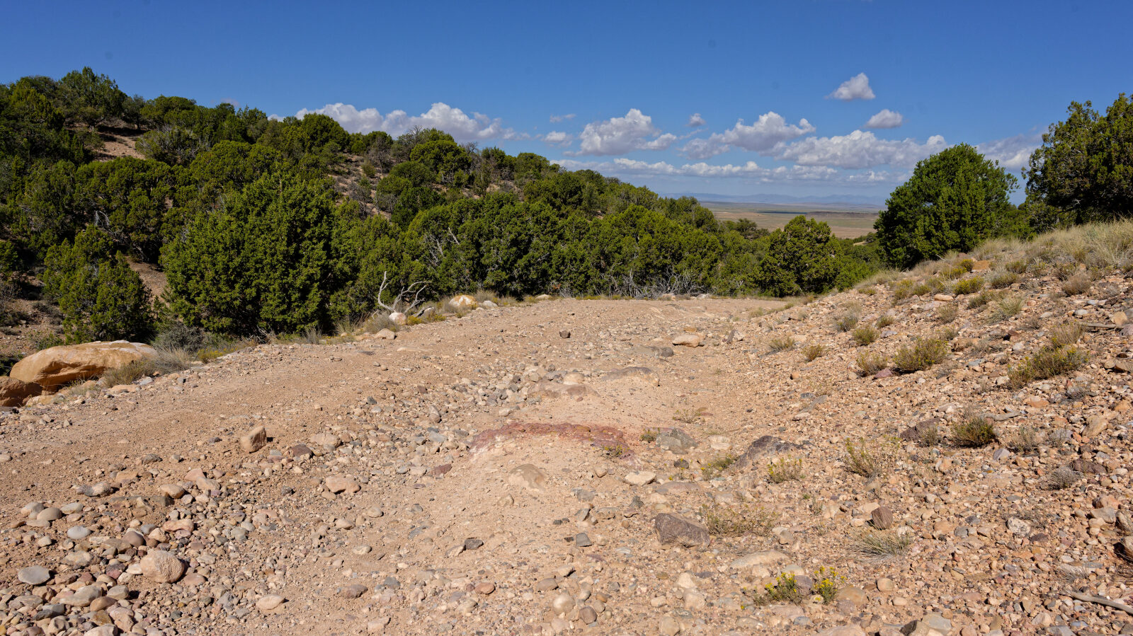
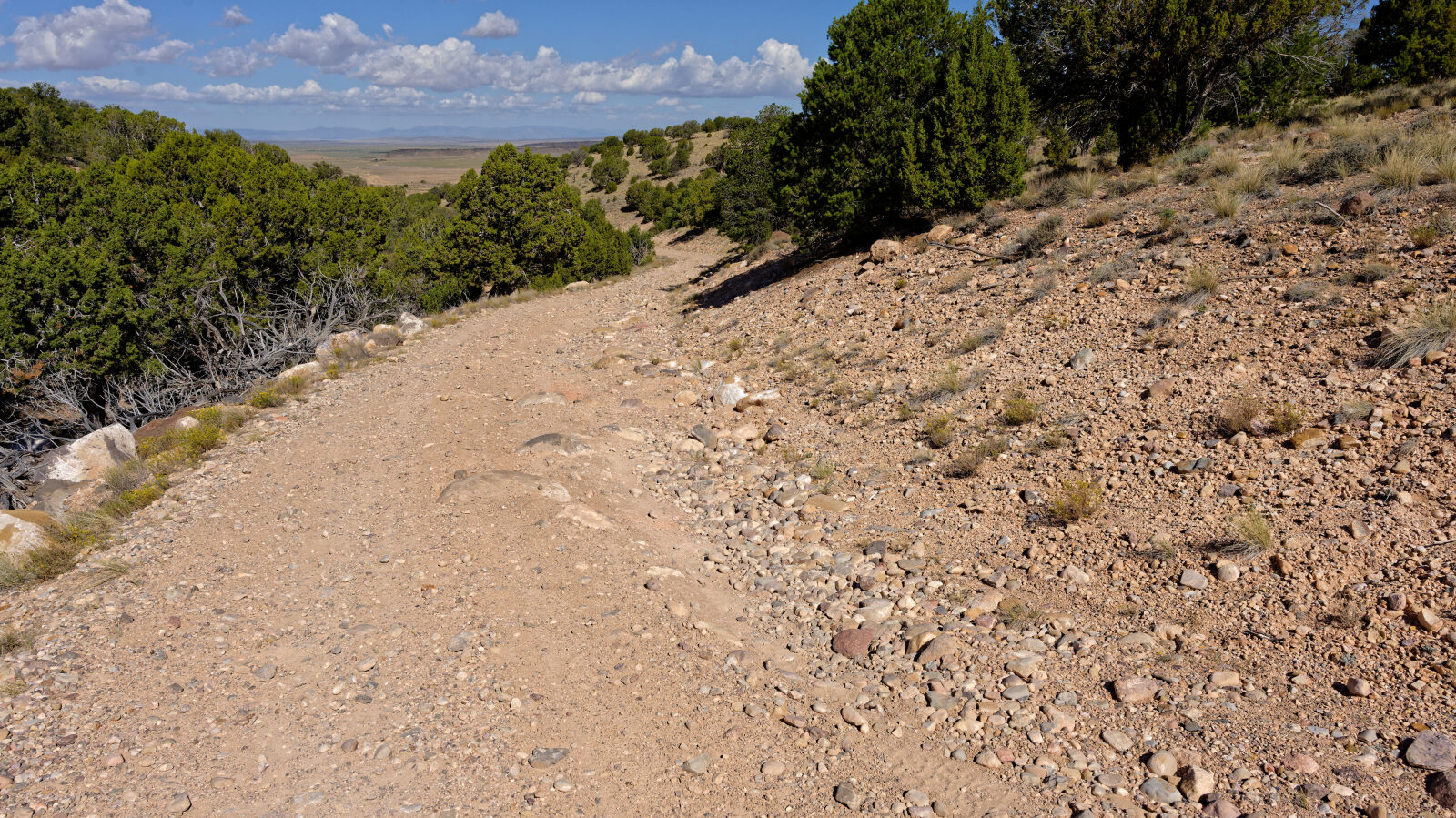
Waypoint 2 (37.80460, -112.99734)
This is a level 2 hard spot.
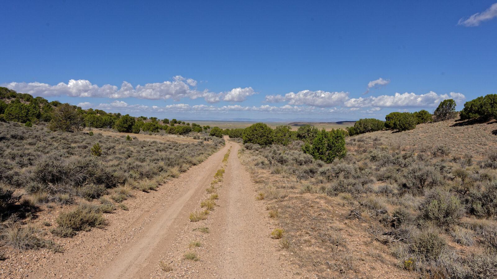
Waypoint 3 (37.80782, -113.00201)
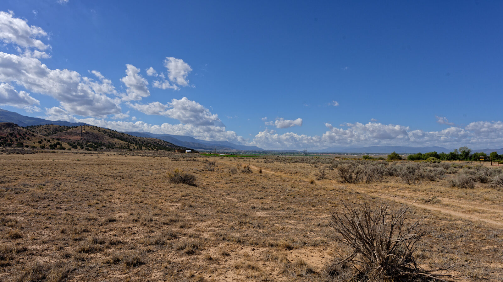
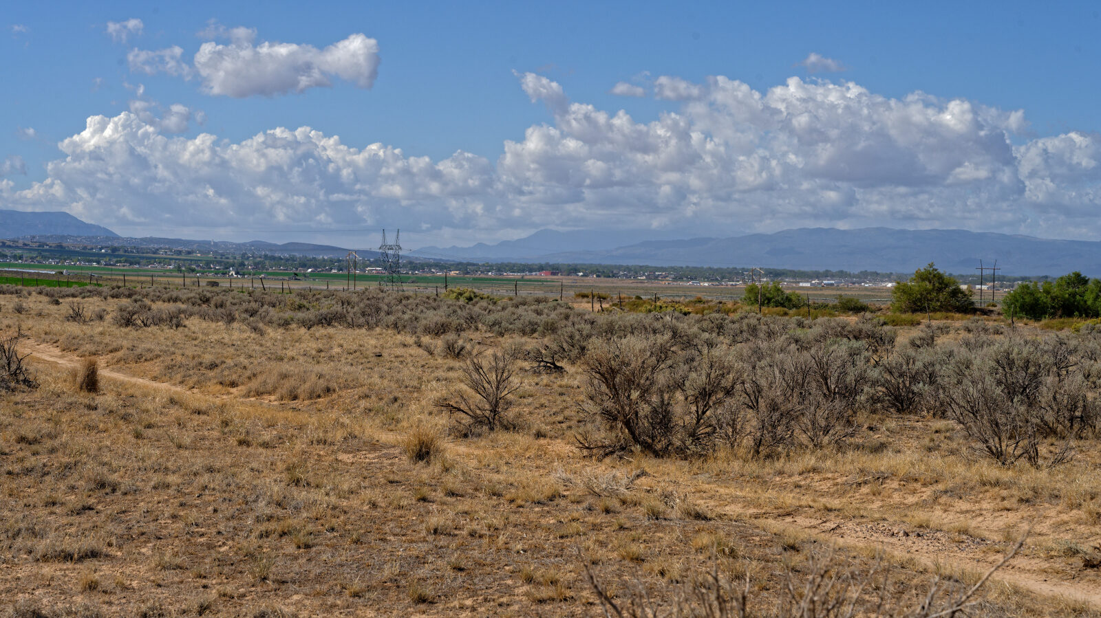
Waypoint 4 (37.80975, -113.01268)
Waypoint 5 (37.81250, -113.00998)
There are two washes. This is the deepest one.
Waypoint 6 (37.81276, -113.00913)
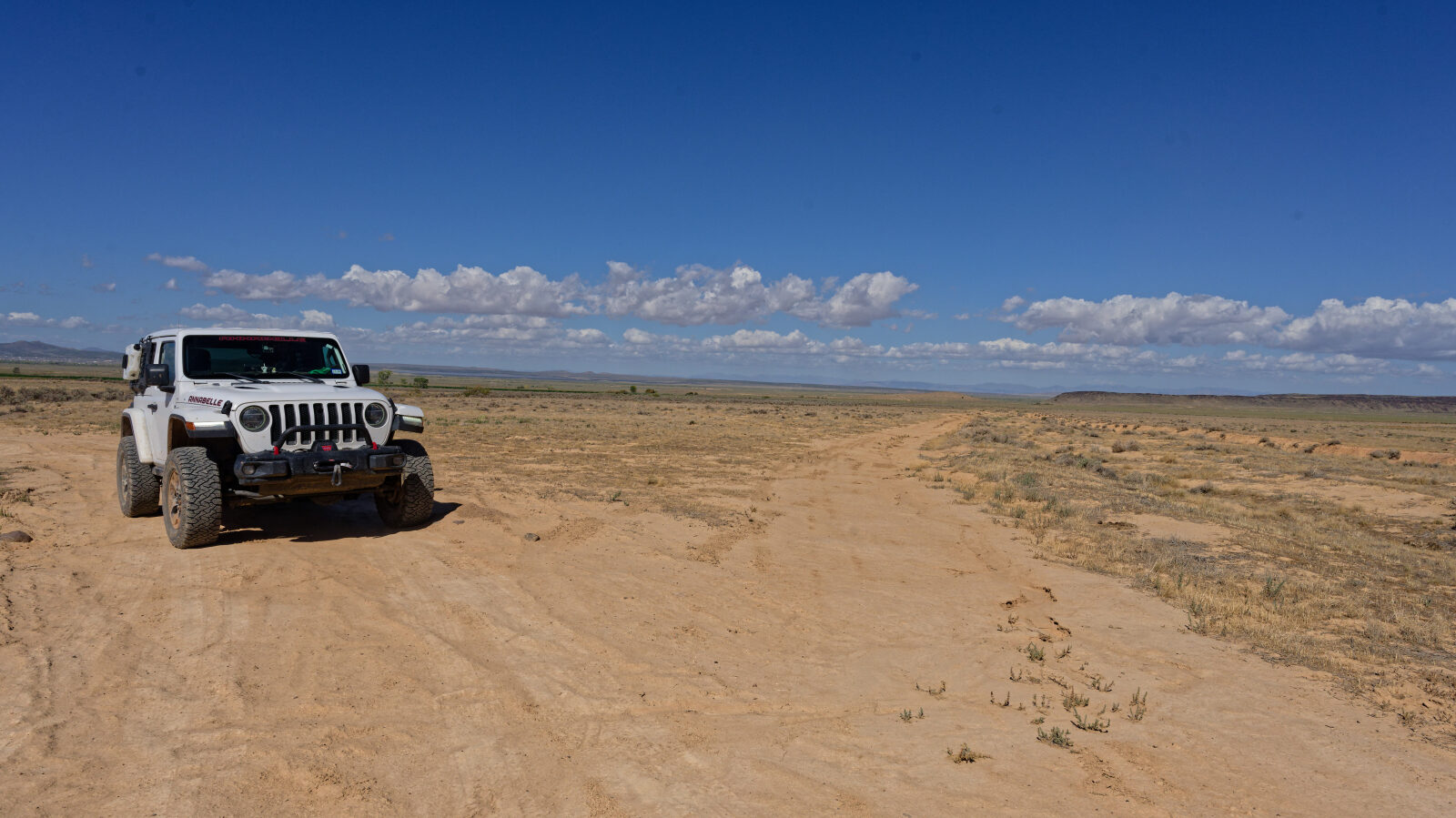
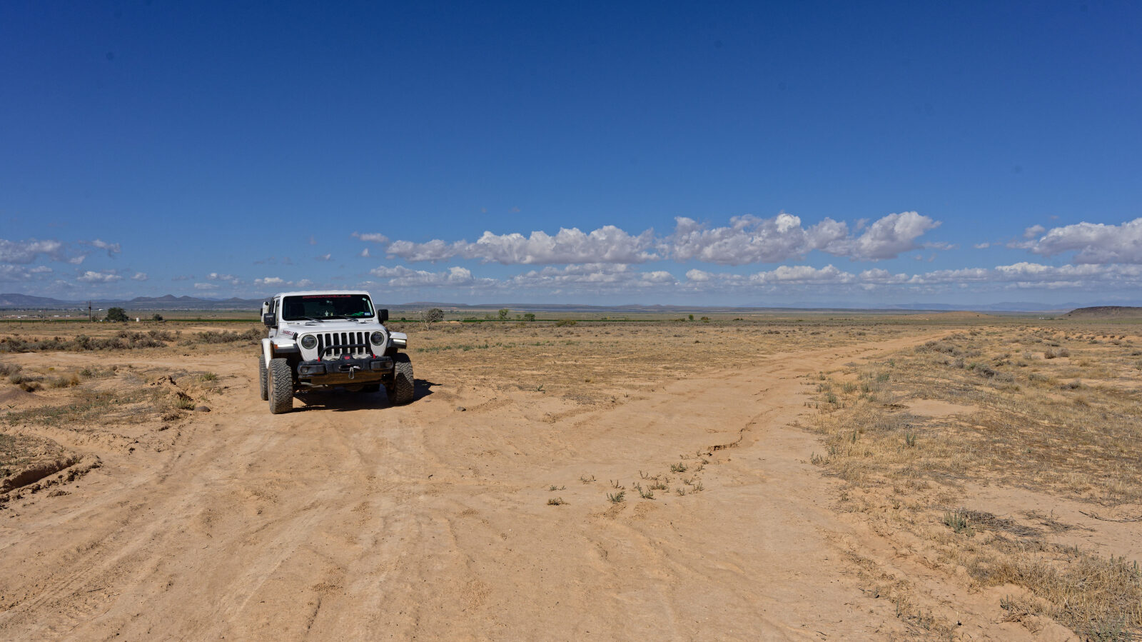
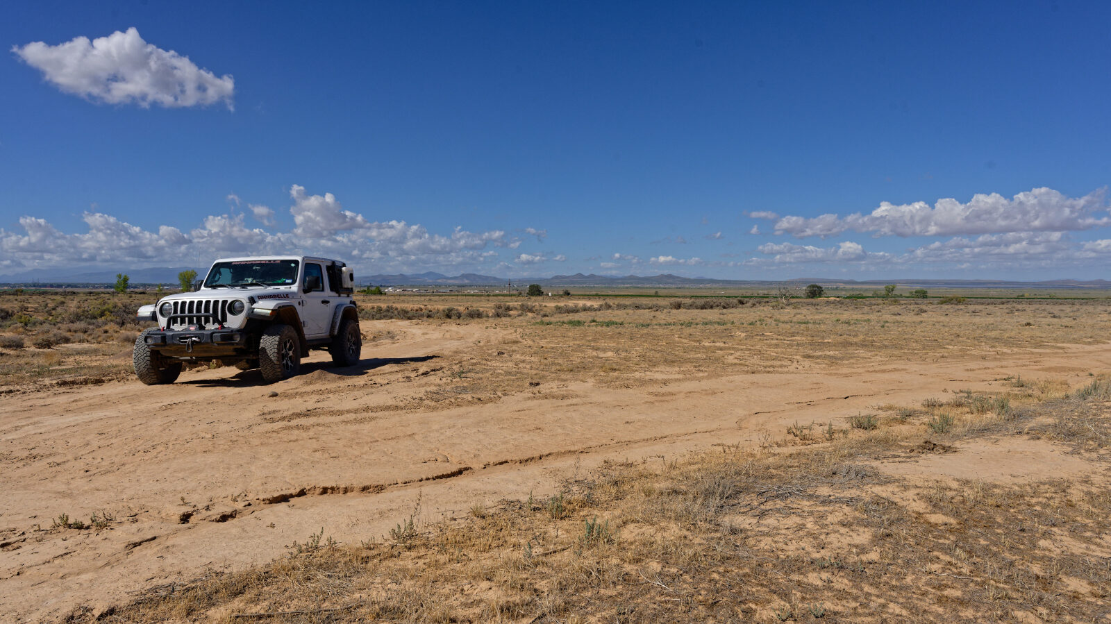
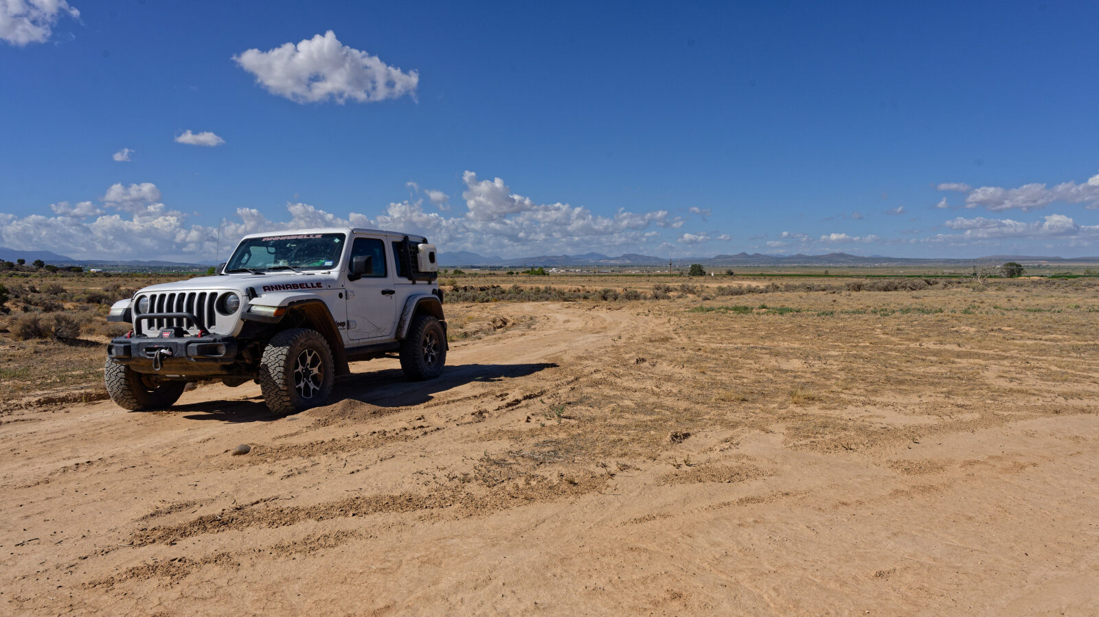
Fine for high clearance two-wheel drive on a dry day, but after any rain or wetness you will need four-wheel drive. This is the end of Braffits Creek Road.