Brindley Dairy - Level 1
Brindley Dairy is a short Forest Service road in Fishlake National Forest on the high plateau above Greenwich in Sevier County, Utah. It climbs through open meadows, sagebrush and aspen, with views out over the valley below.
The route passes several roadside spots where people camp and ends near the valley overlook.
Trail Summary
- LocationSevier County, Utah
- Distance3.1 miles
- DifficultyLevel 1
- Elevation9,278 ft to 9,883 ft with a 605 ft change
- Travel Time31 minutes
Difficulty
Suitable for high clearance 2WD
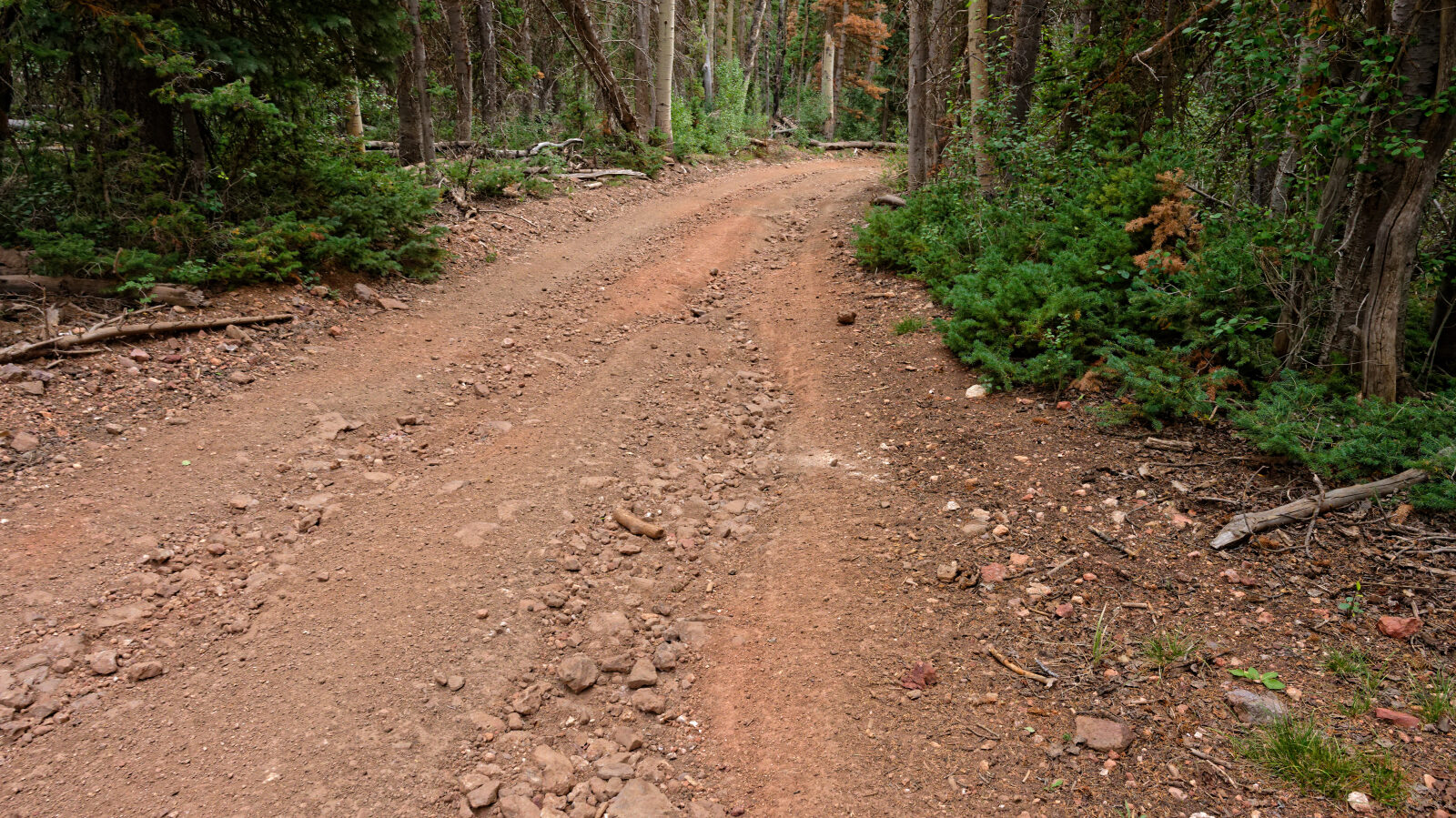
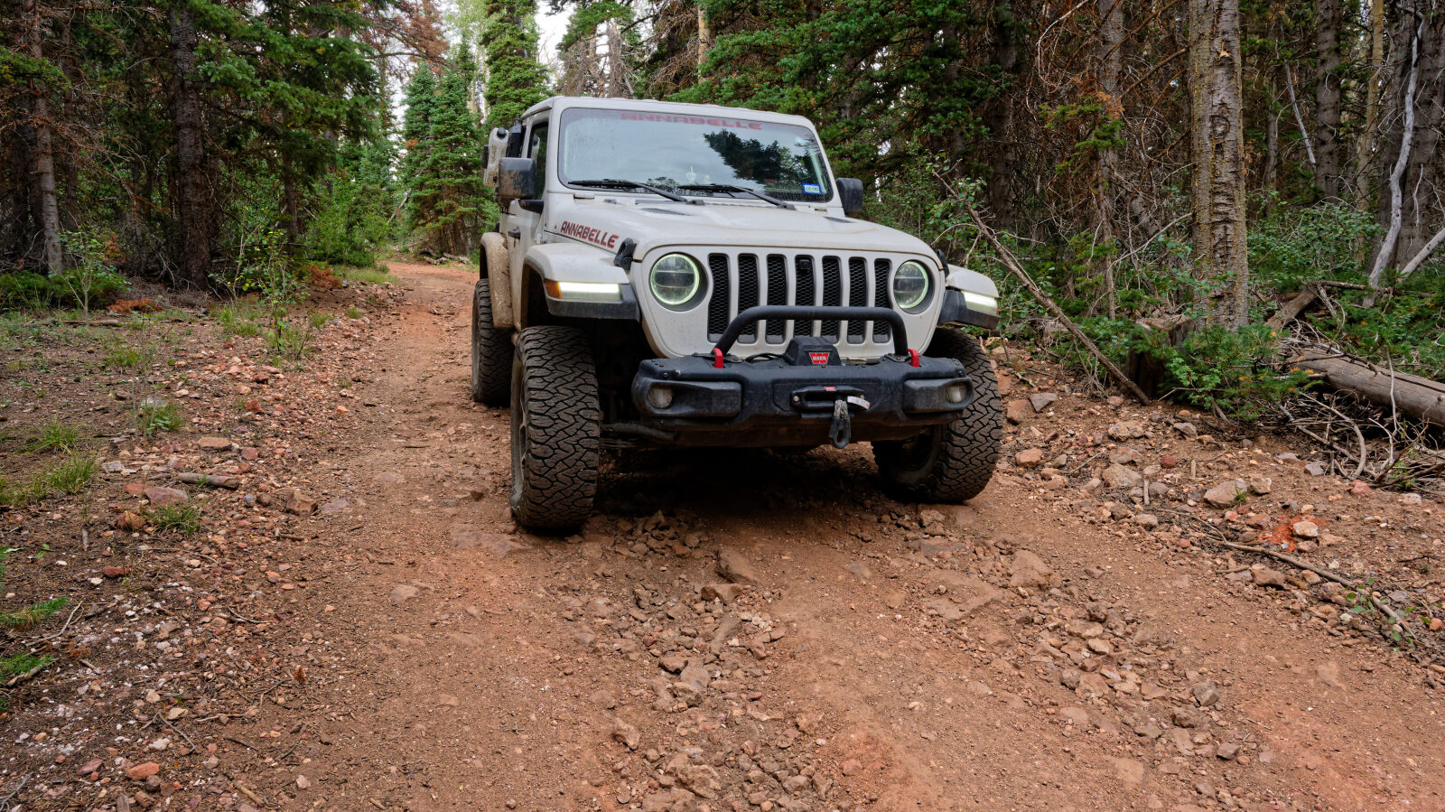
Level 1 is an easy trail suitable for high clearance 2WD. Stock equipment is enough. Expect dirt and rocky surface with obstacles under 5 inches, such as rocks, dips or ruts, and gentle grades with good traction. The road is typically two vehicles wide. The log marks the rocky sections as level 1 and calls out nothing that needs special attention.
Terrain
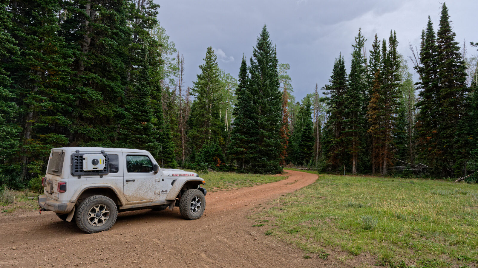
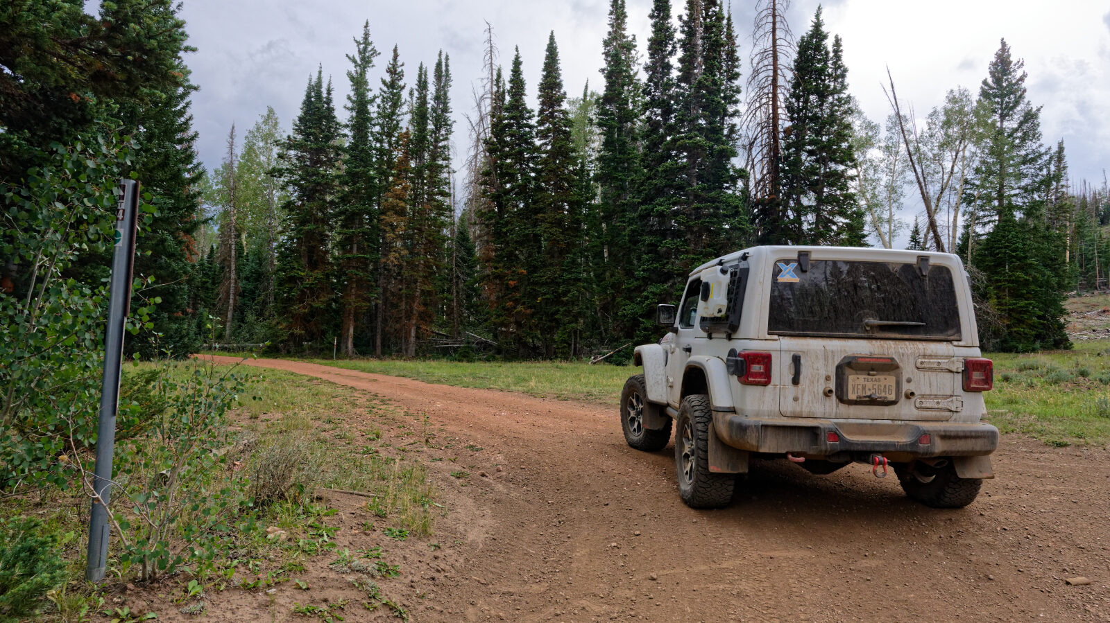
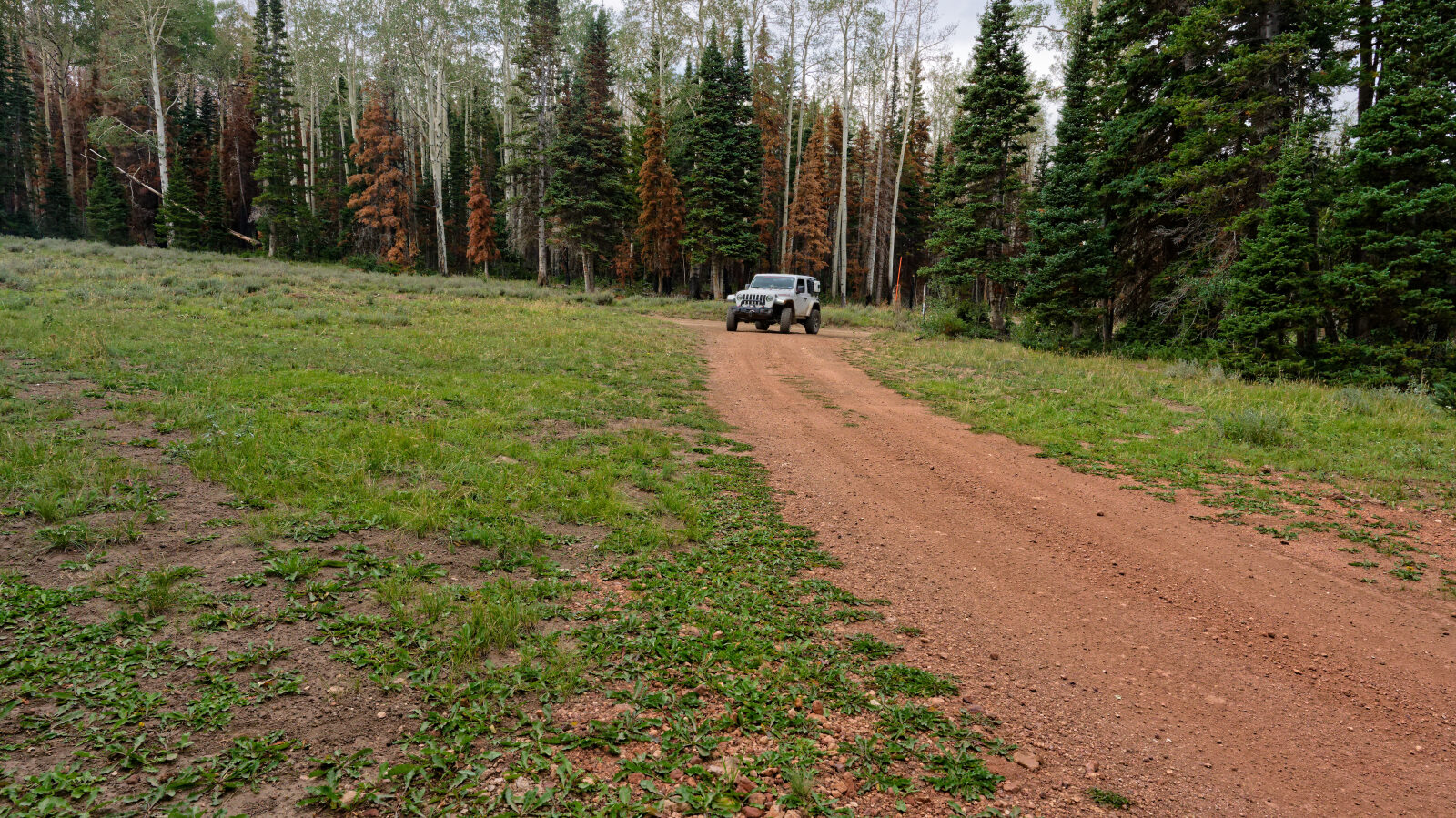
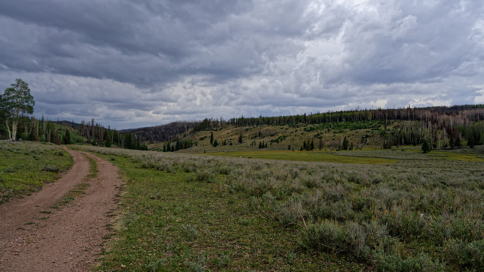
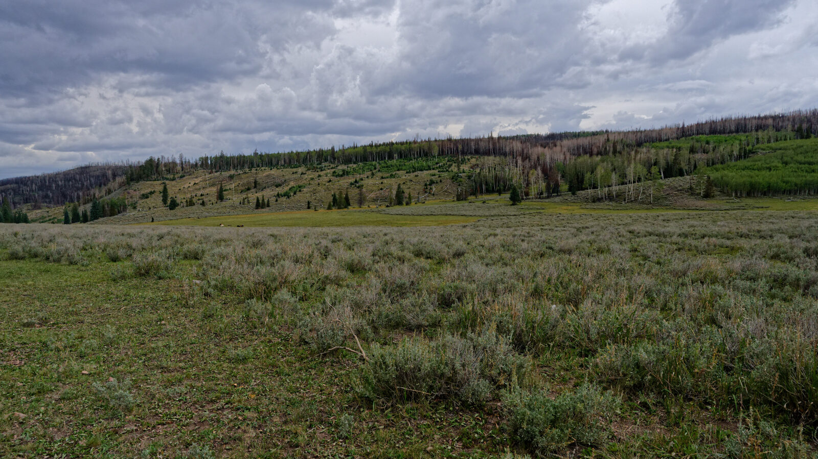
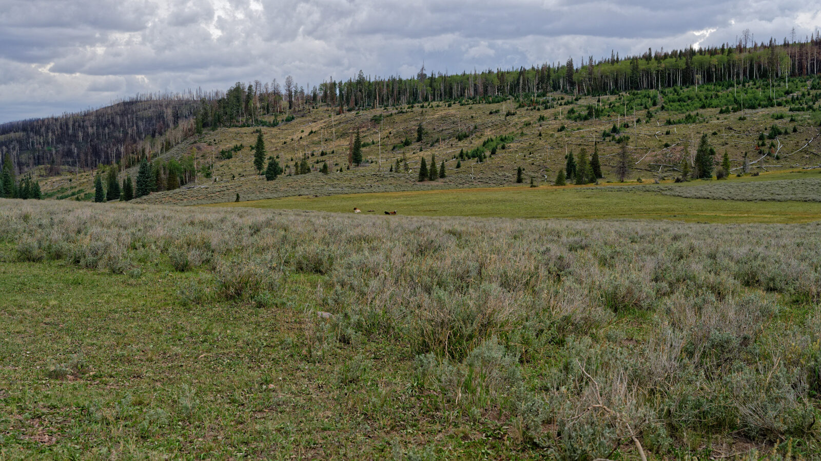
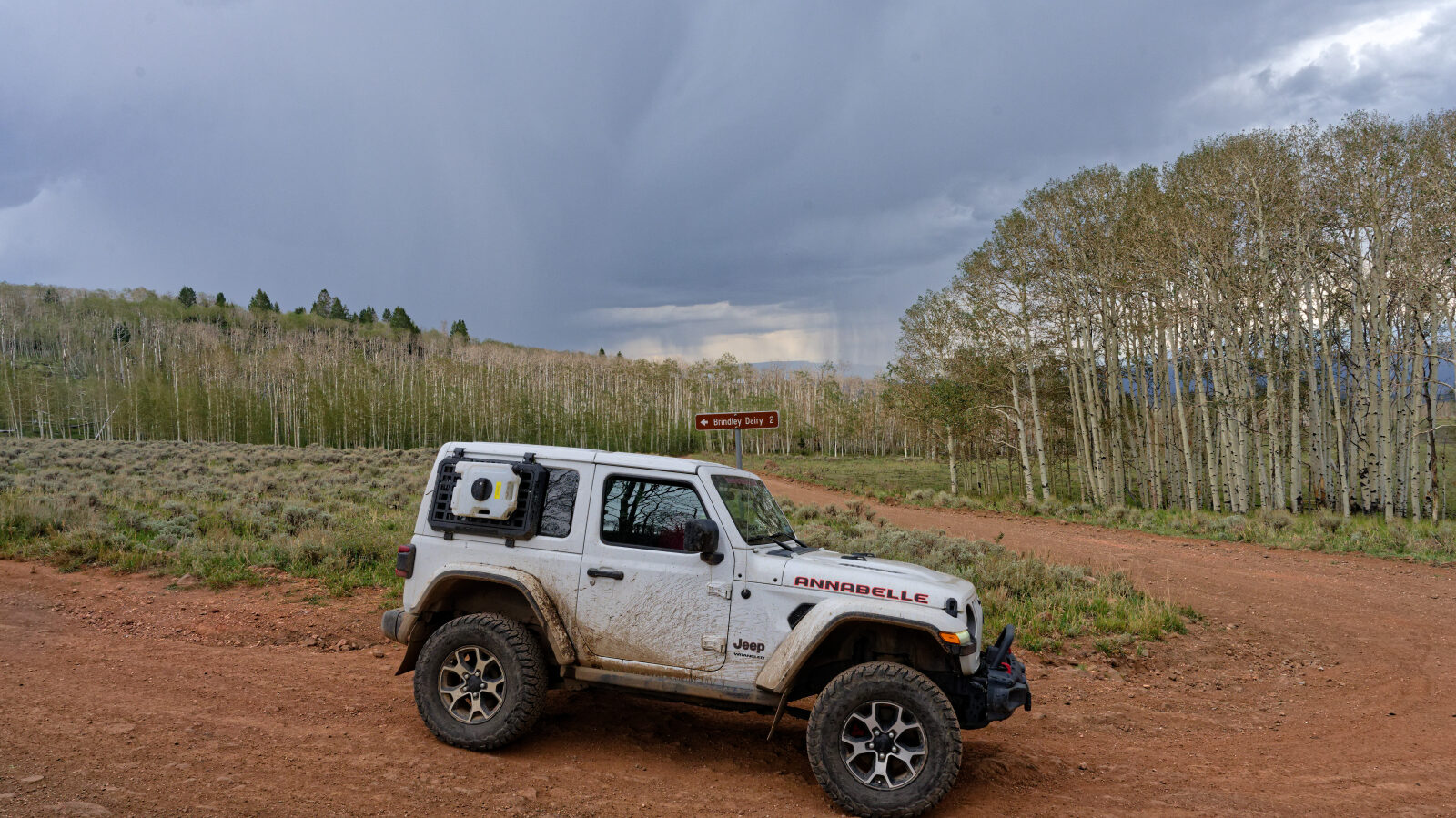
The surface is gravel, dirt and rock. The road crosses open meadows that are green and grassy in places, then sagebrush, and passes through stands of aspen and pine. Some areas show an older burn with downed timber and young regrowth.
Highlights
The view opens up near the end to a wide valley with a long sight line and lots of open space. Aspens surround the campsites. The Forest Service has been piling and burning dead trees in places to clean up the forest.
Map
The interactive map needs JavaScript. Every waypoint is also listed below.
Waypoints
Waypoint 1 (38.52732, -112.01790)
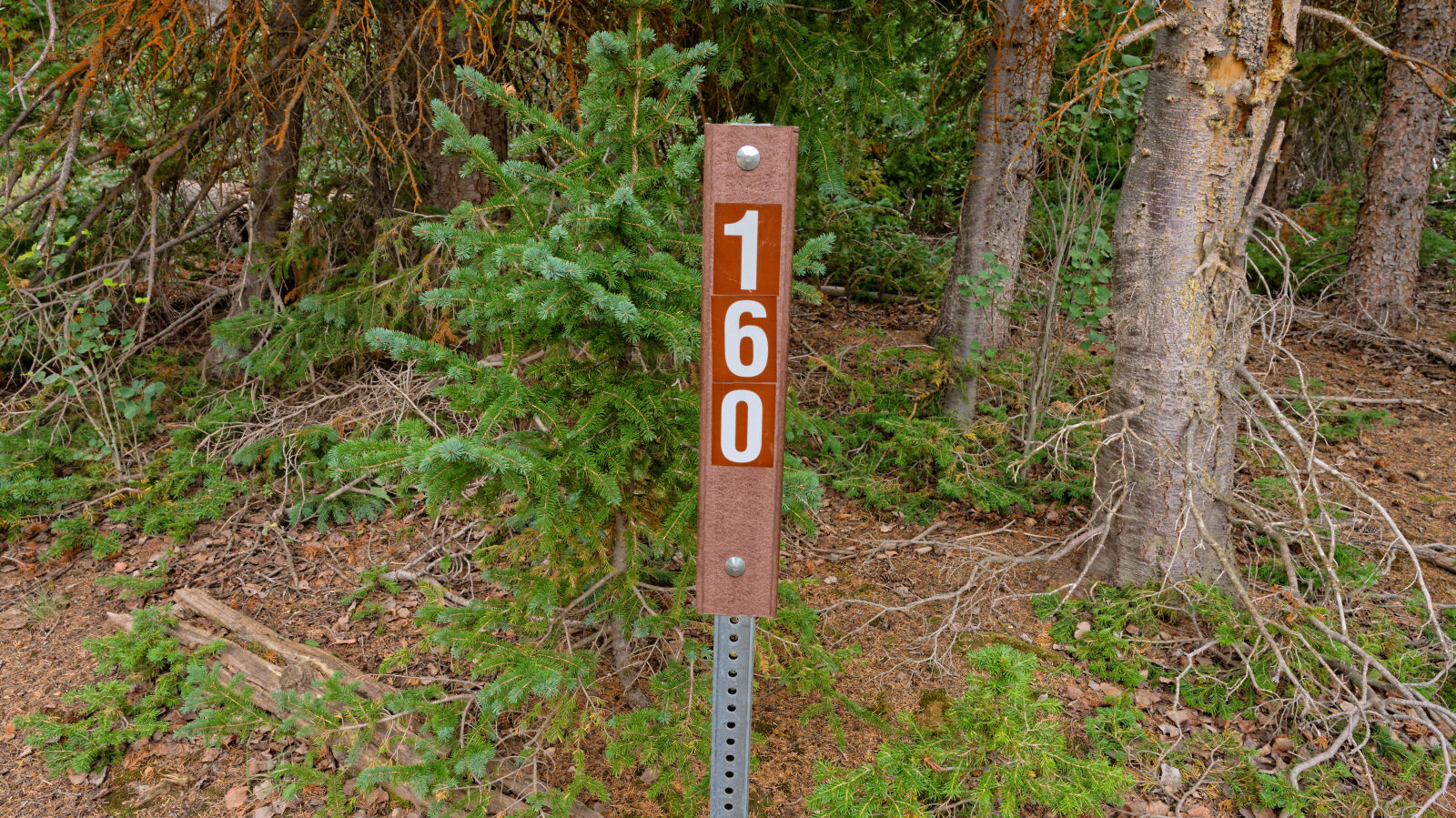
Start of Brindley Dairy, trail number 40160.
Waypoint 2 (38.52675, -112.01697)
Waypoint 3 (38.52580, -112.01643)
Rocky surface, level 1.
Waypoint 4 (38.51659, -112.02227)
Waypoint 5 (38.51629, -112.02279)
Open meadow, green and grassy in spots, then sagebrush.
Waypoint 6 (38.50635, -112.01273)
The general trail here is gravel and rock.
Waypoint 7 (38.50426, -112.01145)
Waypoint 8 (38.50381, -112.01116)
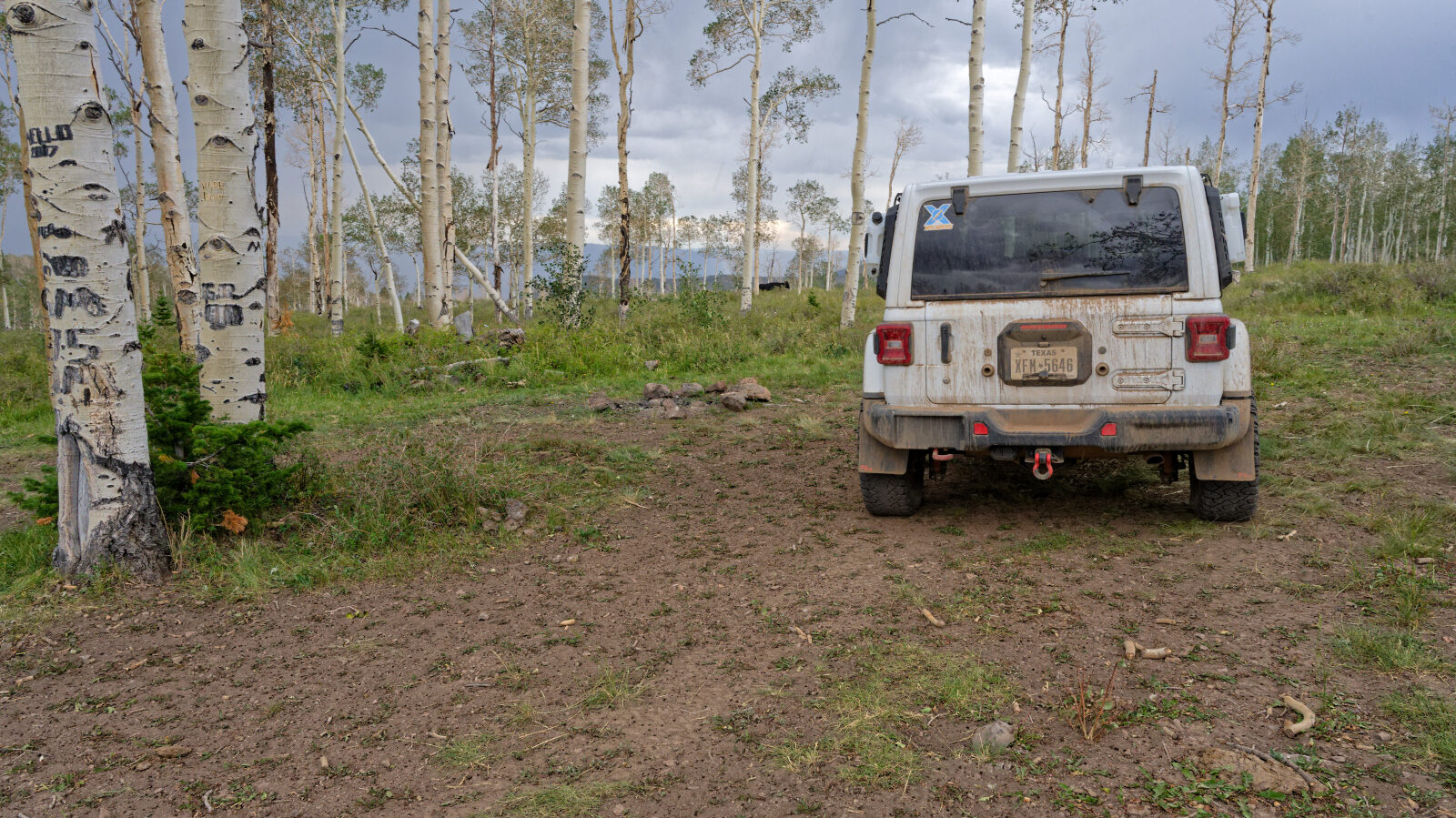
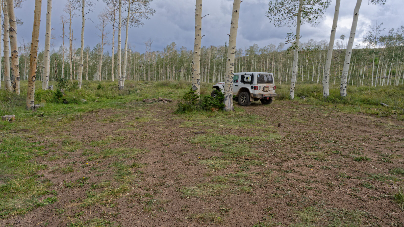
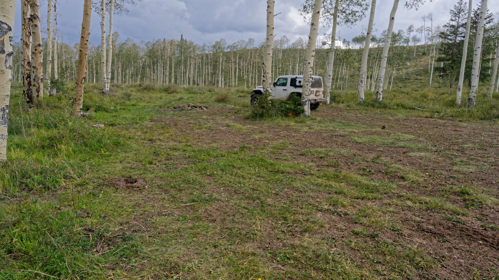
Camping spot with room for one or two rigs, maybe a couple of trailers. It has trees and some shade but no privacy.
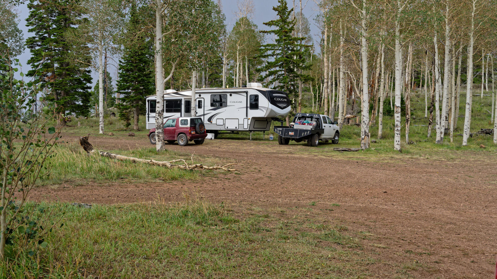
Waypoint 9 (38.50267, -112.00872)
Camping spot with trees, a little shade and no privacy. Large enough for four or five rigs with trailers.
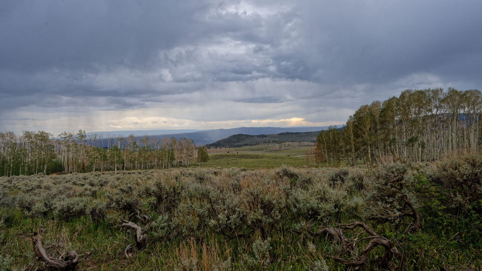
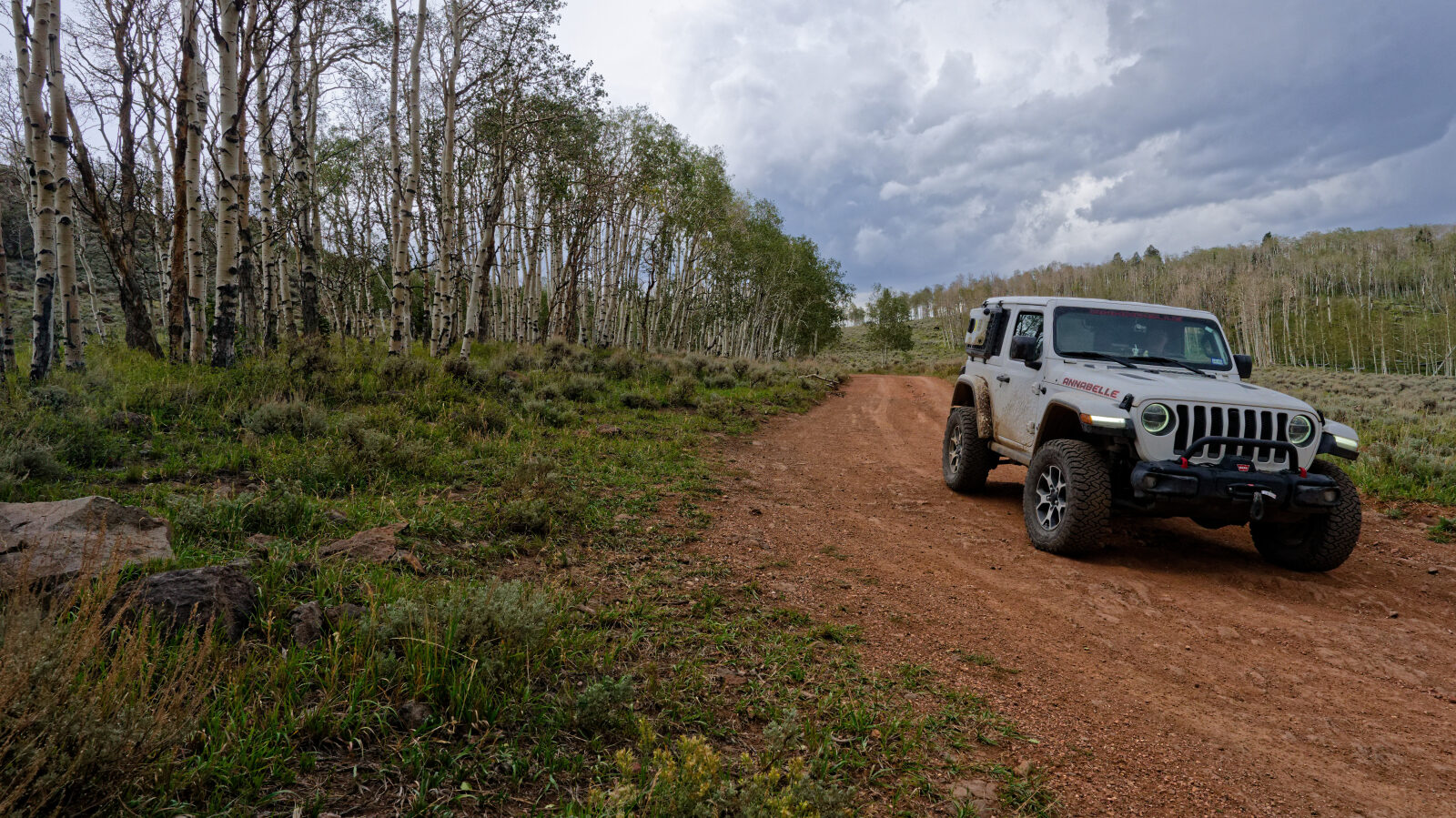
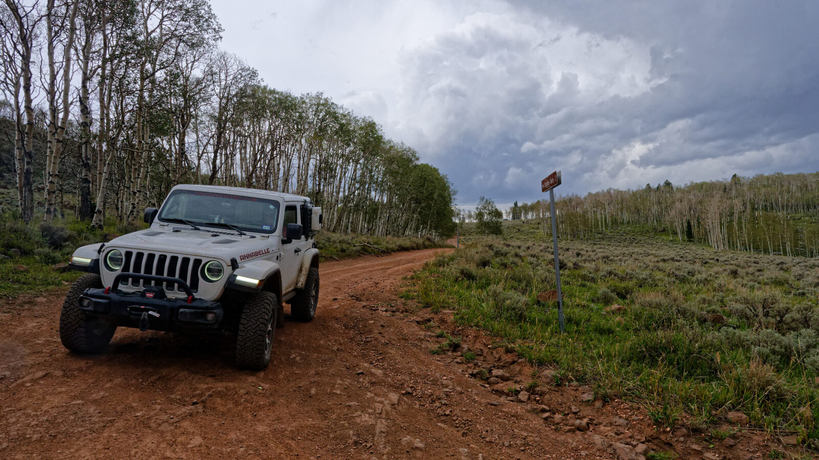
Waypoint 10 (38.49979, -112.01059)
The view opens up over a valley with lots of open space. There are campers among the aspens.
Waypoint 11 (38.49765, -112.00736)
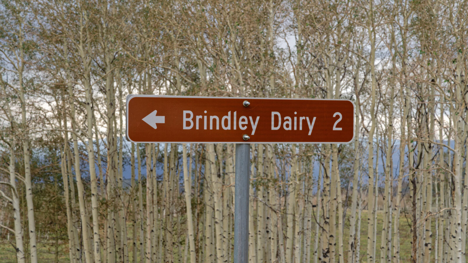
Research stop on the origin of the Brindley Dairy name.
Waypoint 12 (38.49931, -112.01100)
End of Brindley Dairy.