Browse Area G S - Level 2
This route climbs from the desert foothills near the Utah and Nevada line up toward the Pine Valley area of the Dixie National Forest. It follows a Forest Service road that ends at the Browse Area guard station.
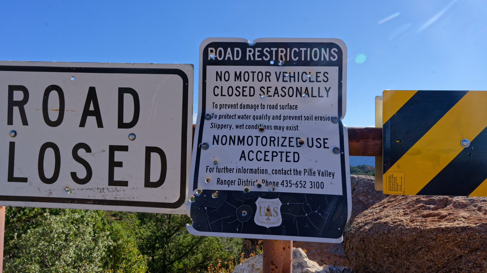
The road passes a seasonal closure gate, crosses a narrow ridge and runs along several sections of shelf road. Camping spots are scattered along the way, and the drive ends at the guard station grounds.
Trail Summary
- LocationWashington County, Utah
- Distance7.6 miles
- DifficultyLevel 2
- Elevation4,130 ft to 6,062 ft with a 1,932 ft change
- Travel Time1 hour 13 minutes
Difficulty
Typically suitable for high clearance 2WD
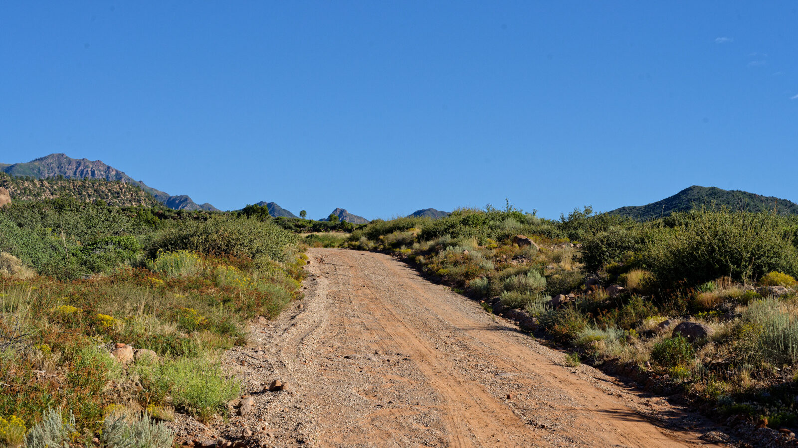
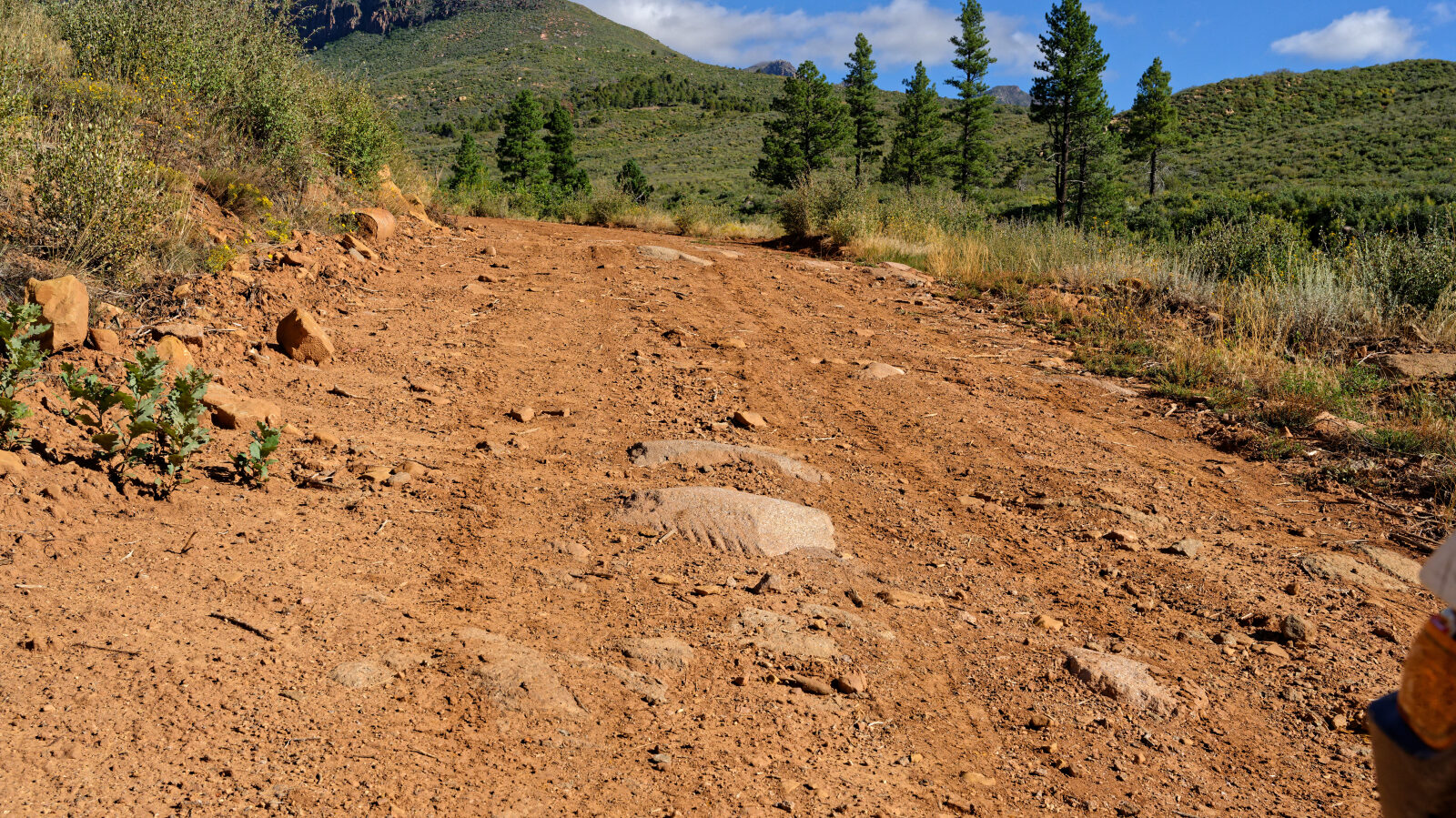
This is an Easy, Level 2 route. Stock high clearance 2WD is typically enough, though tire traction and ground clearance may be tested. Expect dirt or rocky road with ruts, dips and rocks under 9 inches, and small ledges under 12 inches. The road is usually not maintained after rain or snow. The log marks one harder spot at the Level 2 mark near the upper end. The narrow shelf section is about one and a quarter Jeeps wide and has no pullouts, so watch for oncoming traffic and be ready to back up if you meet someone. The seasonal closure gate was open at the time of the drive.
Terrain
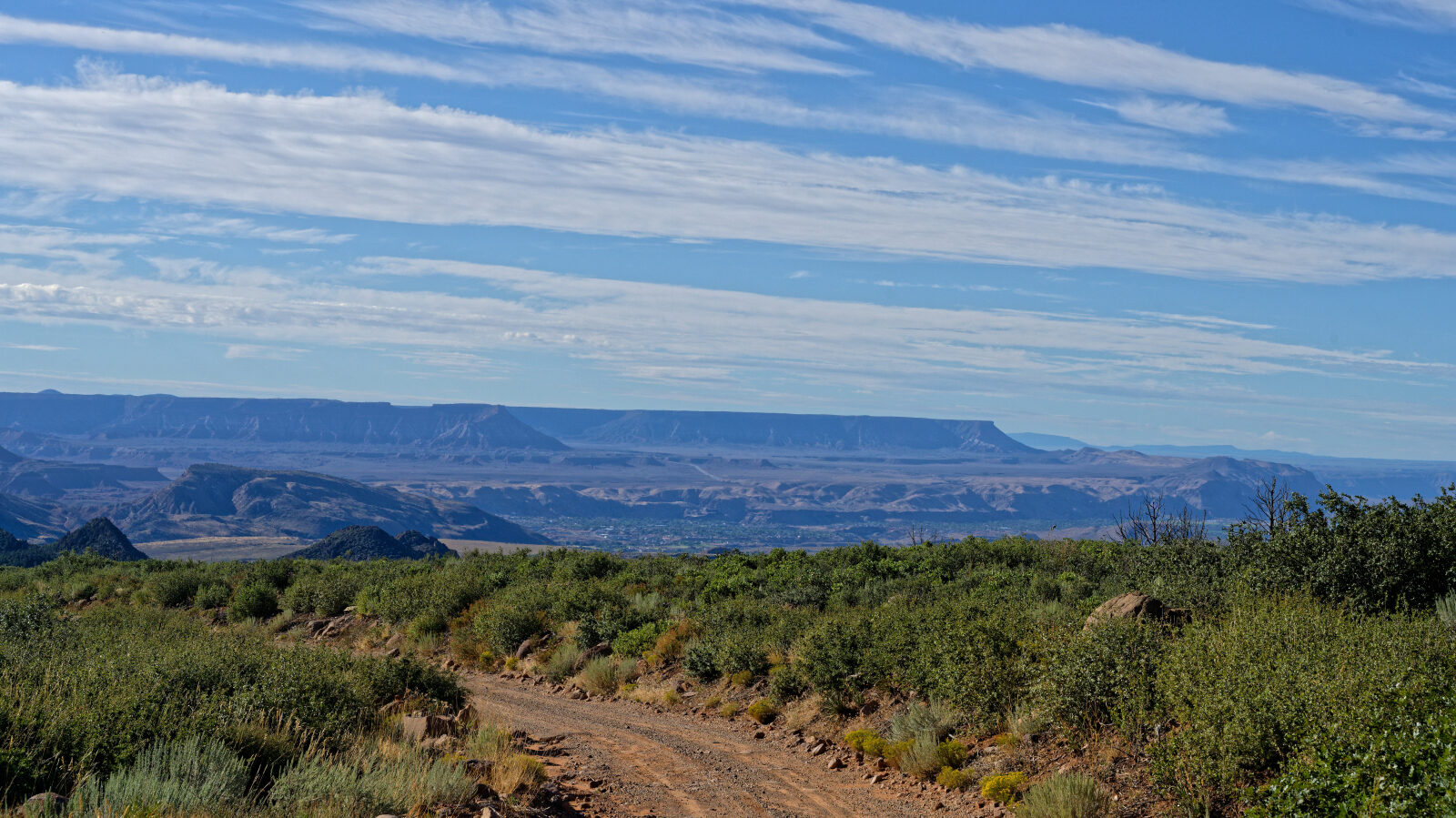
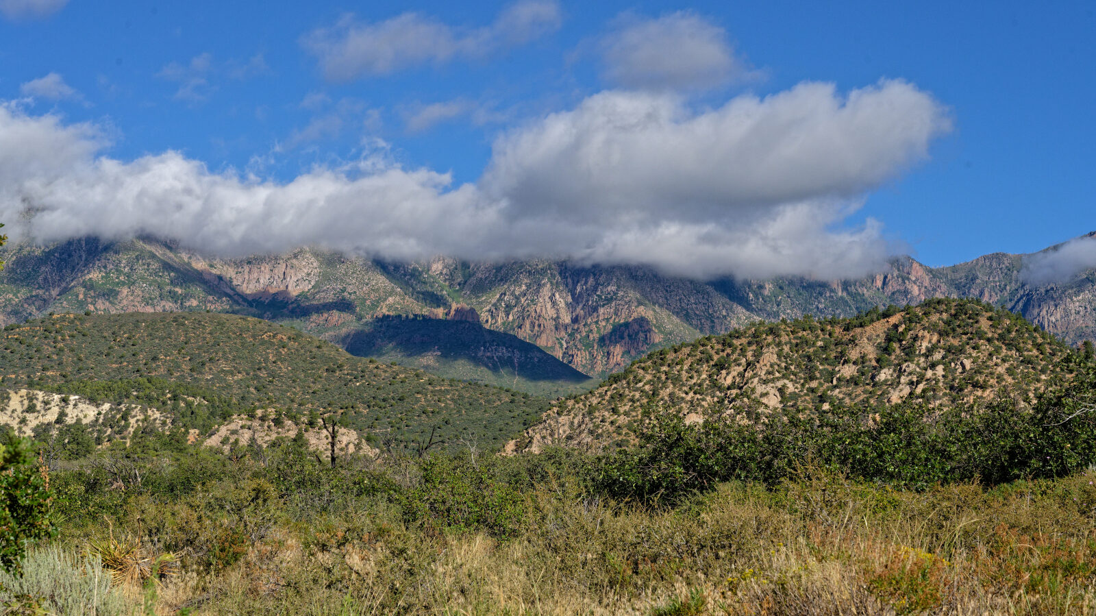
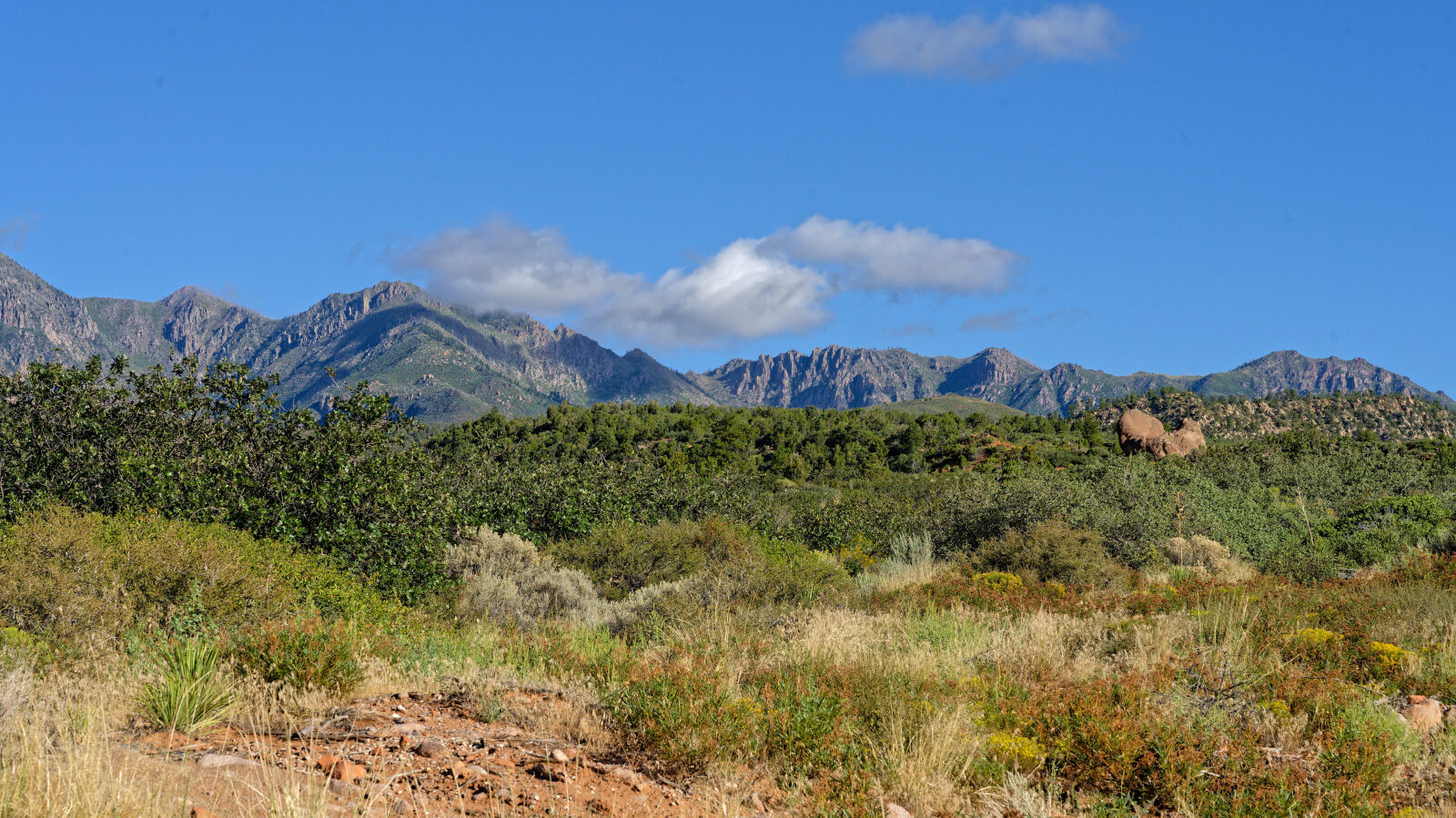
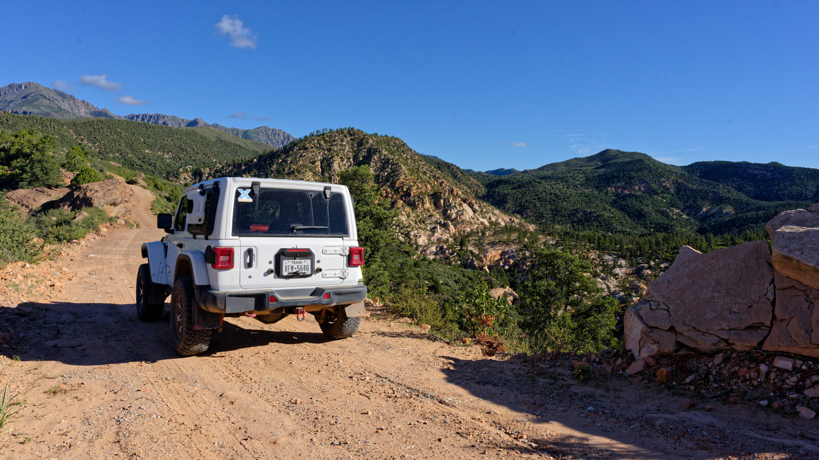
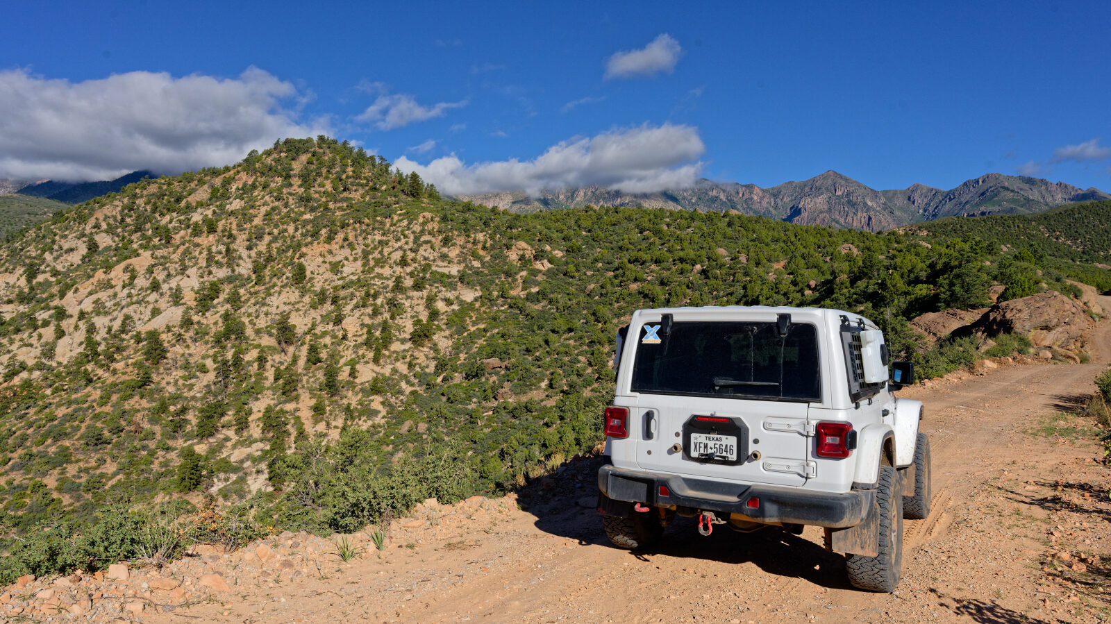
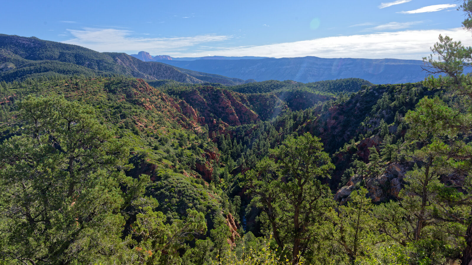
The road starts on desert terrain at lower elevation and gains about 1,900 feet as it climbs. After the seasonal closure gate it crosses a razorback ridge that drops steeply on both sides. A long section of narrow shelf road with no pullouts follows. The log notes that some campsites have a view but no shade, while others sit in tight, shaded spots.
Highlights
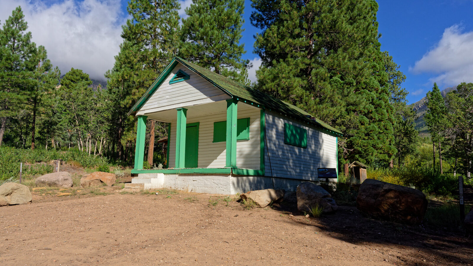
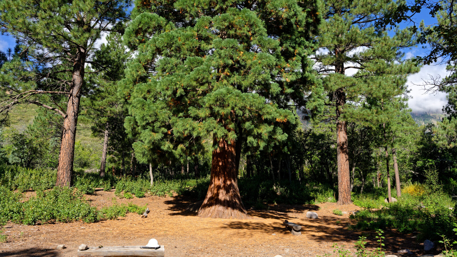
Several camping spots are along the route. One has a big view and room for a trailer or a couple of rigs. Another is shaded and private but tight, and not suited to trailers. At the end of the road, a tree behind the guard station looks different from the rest. It is described in the log as a sequoia, and you walk behind the building to see it.
Map
The interactive map needs JavaScript. Every waypoint is also listed below.
Waypoints
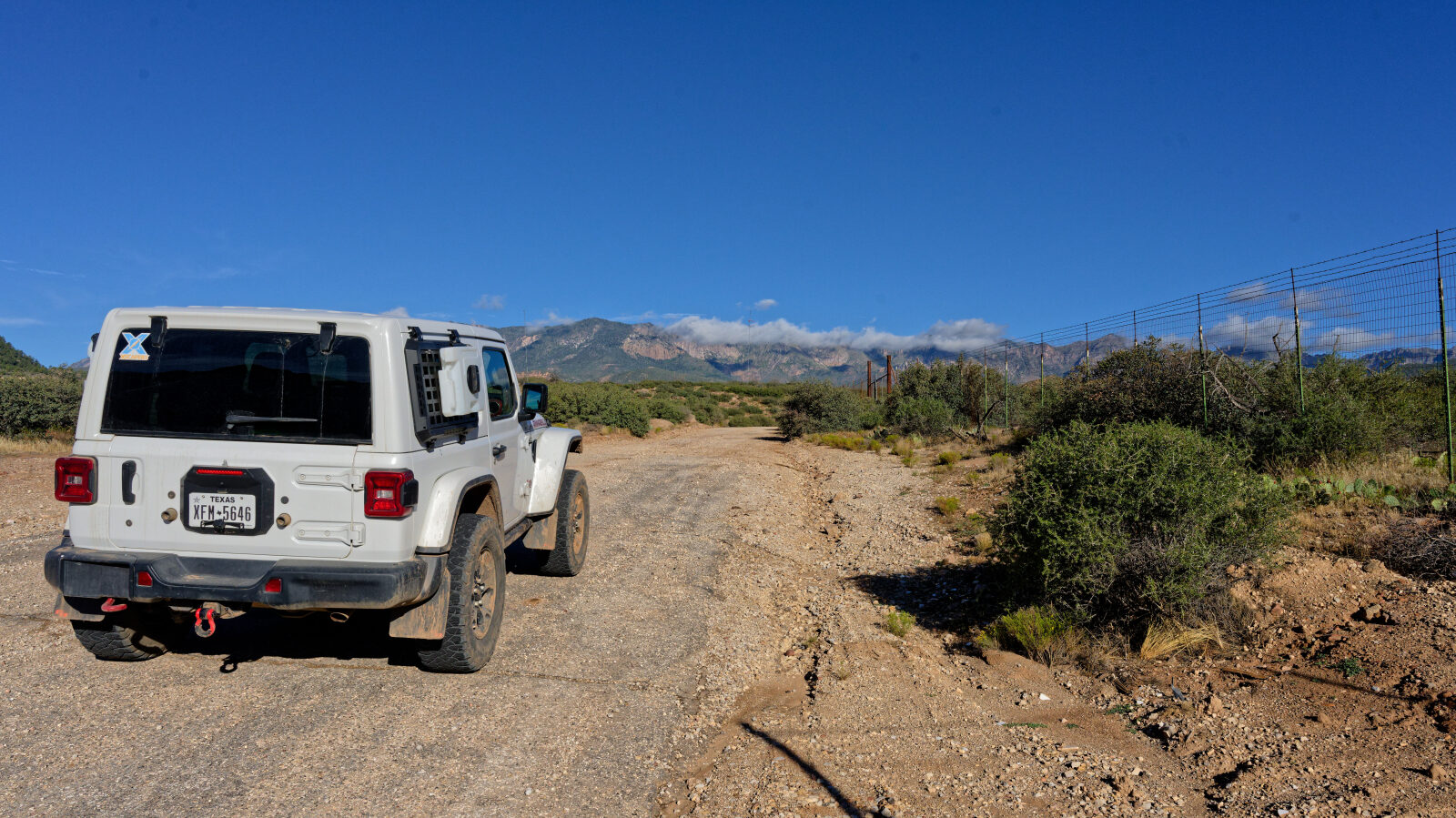
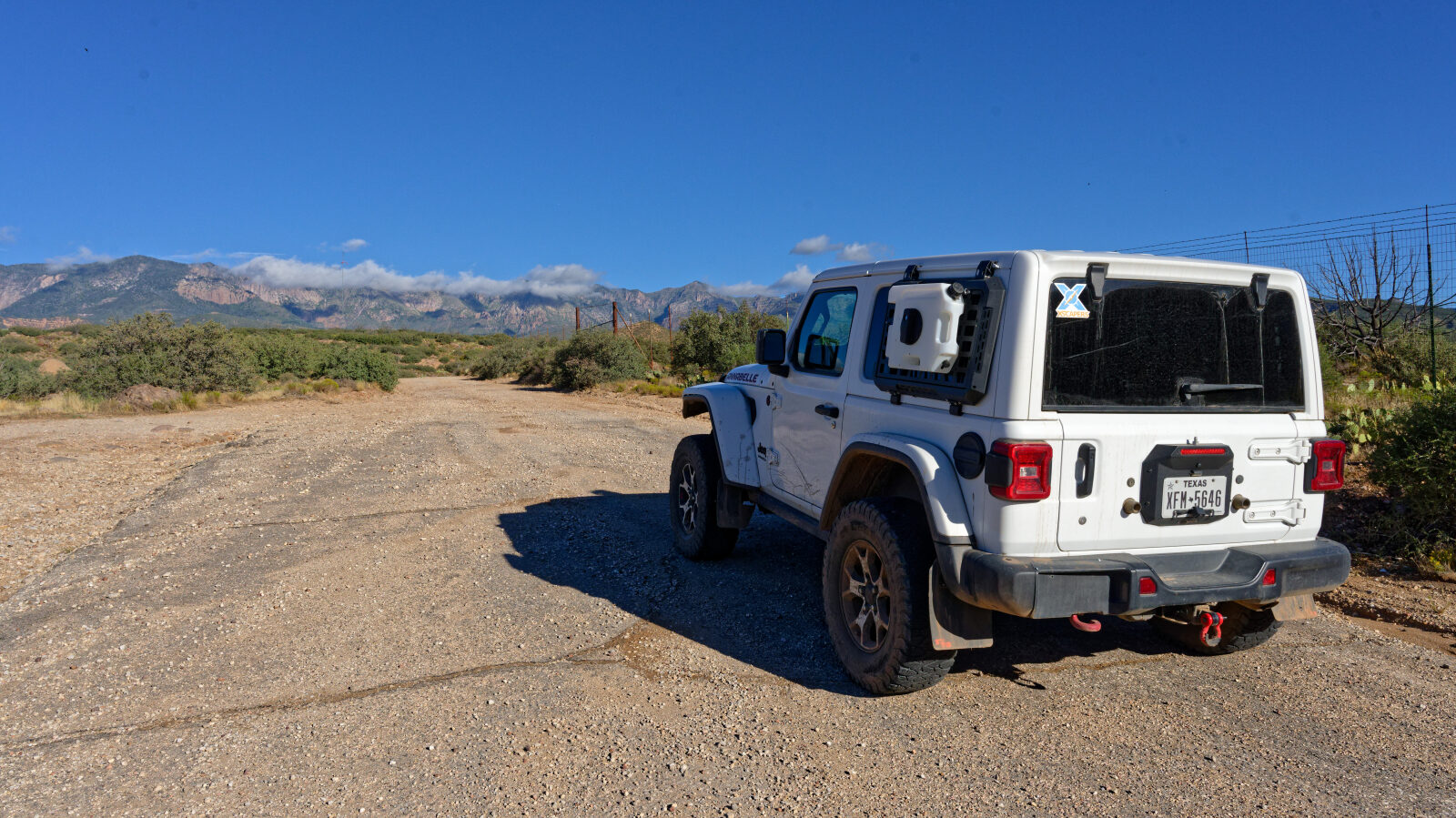
Waypoint 1 (37.32661, -113.28628)
Waypoint 2 (37.32702, -113.28712)
Browns Arena guard station, road 30339.
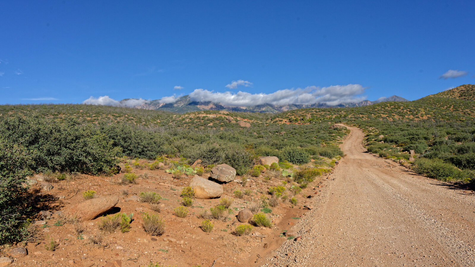
Waypoint 3 (37.33058, -113.29511)
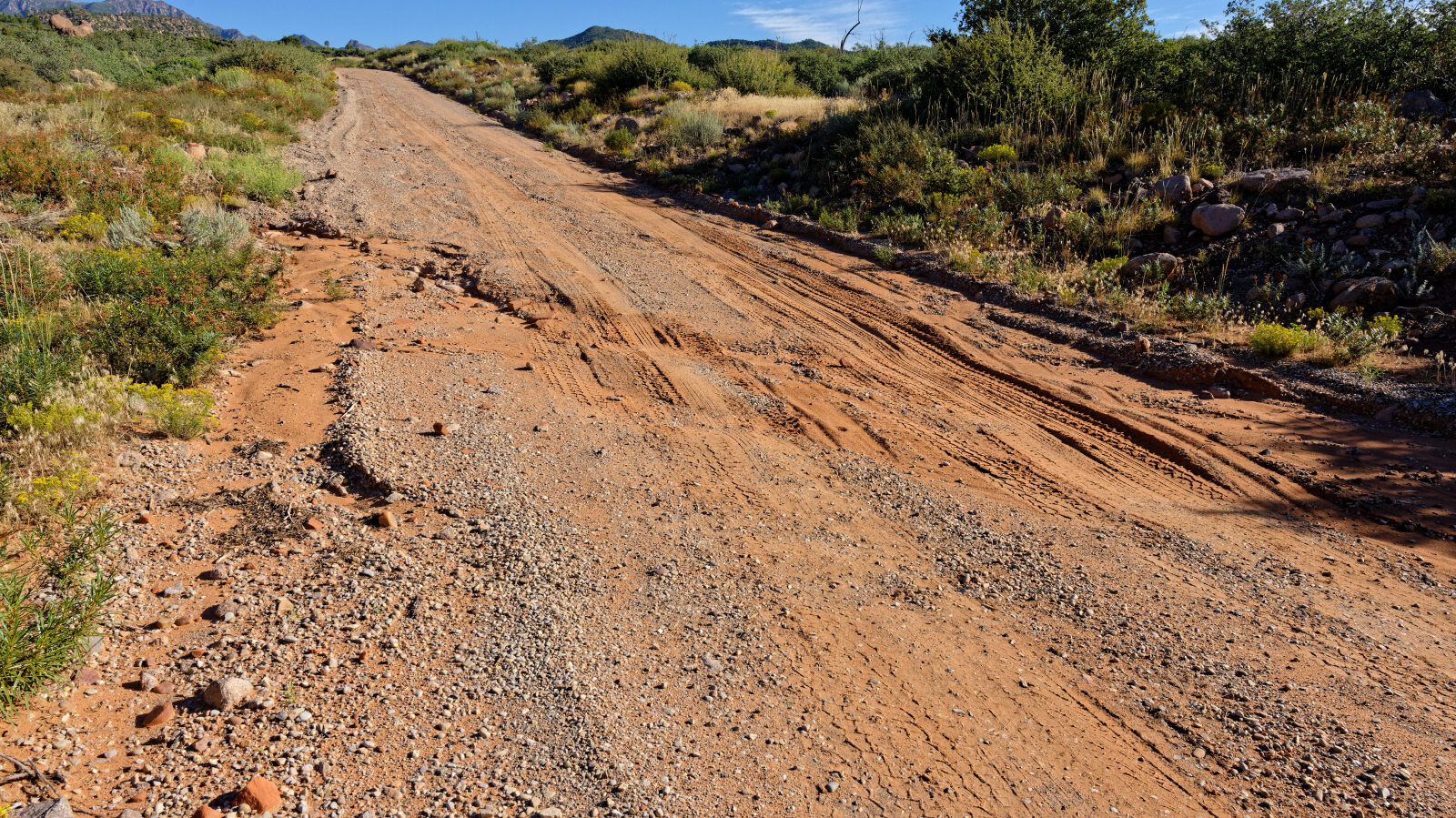
Waypoint 4 (37.34451, -113.32221)
Waypoint 5 (37.34608, -113.32422)
Waypoint 6 (37.34918, -113.32356)
Camping spot with a very good view. It holds one trailer or a couple of rigs, with no shade and no privacy.
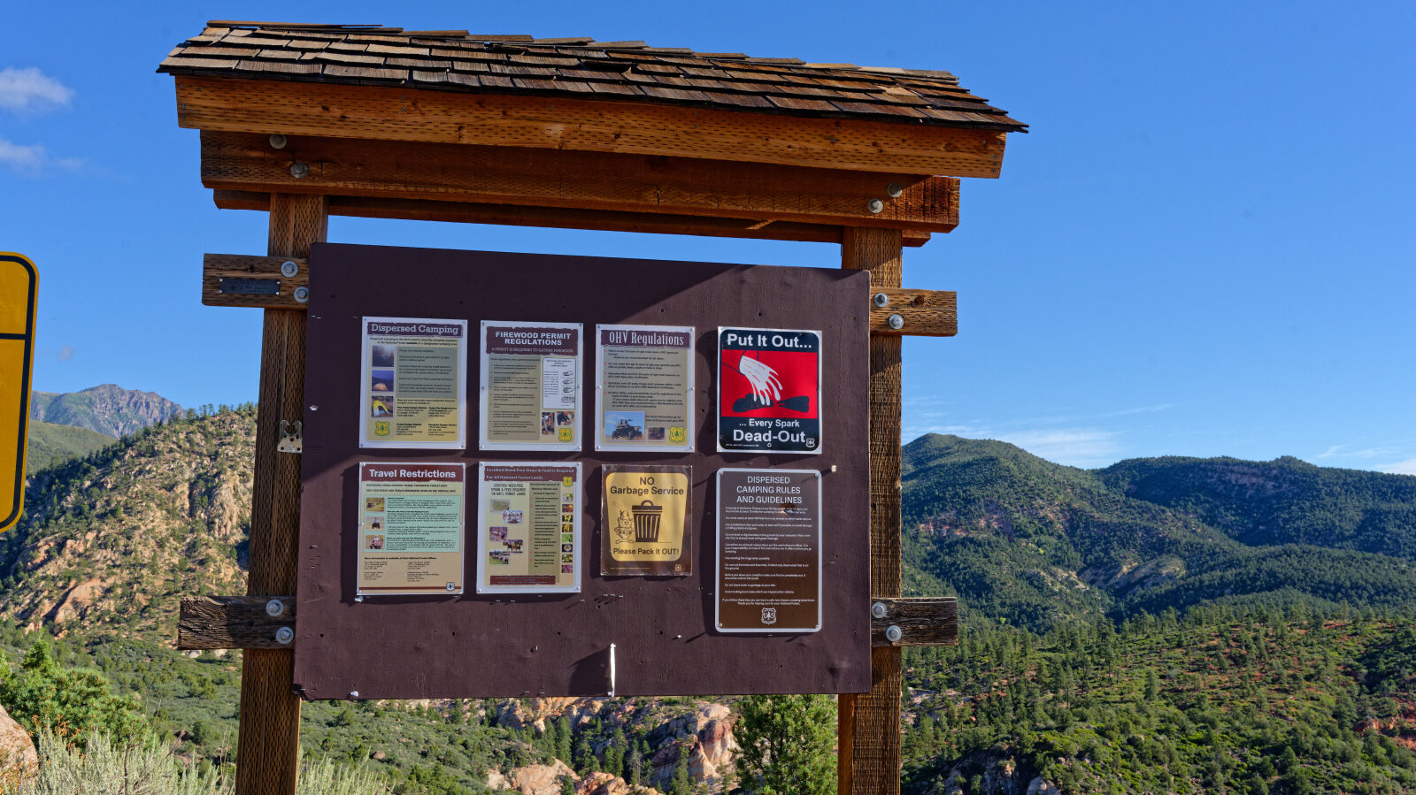
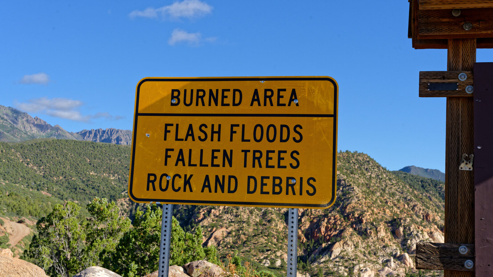
Waypoint 7 (37.35336, -113.32777)
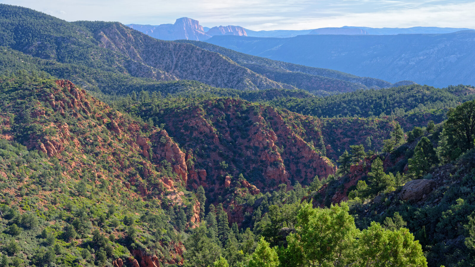
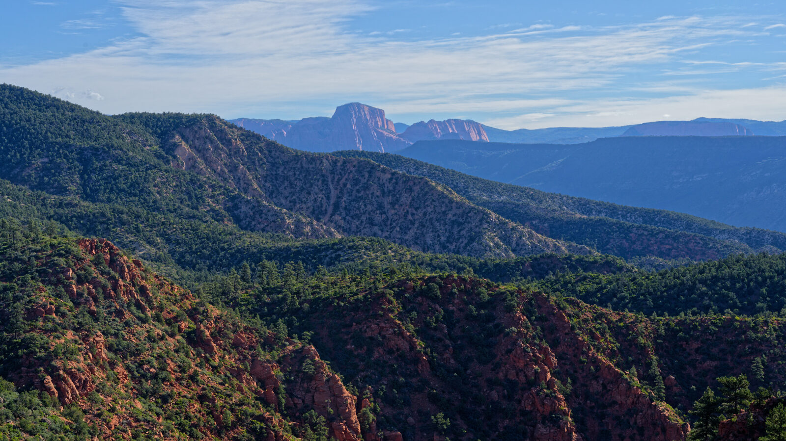
Waypoint 8 (37.35404, -113.32813)
Waypoint 9 (37.35479, -113.32857)
Past the Seasonally Closed gate, which was open, the road crosses a razorback. It is steep on both sides, like a shelf road.
Waypoint 10 (37.36394, -113.33466)
Campsite that is a little hard to reach, so no trailers. It has shade and privacy for tents, but space is tight.
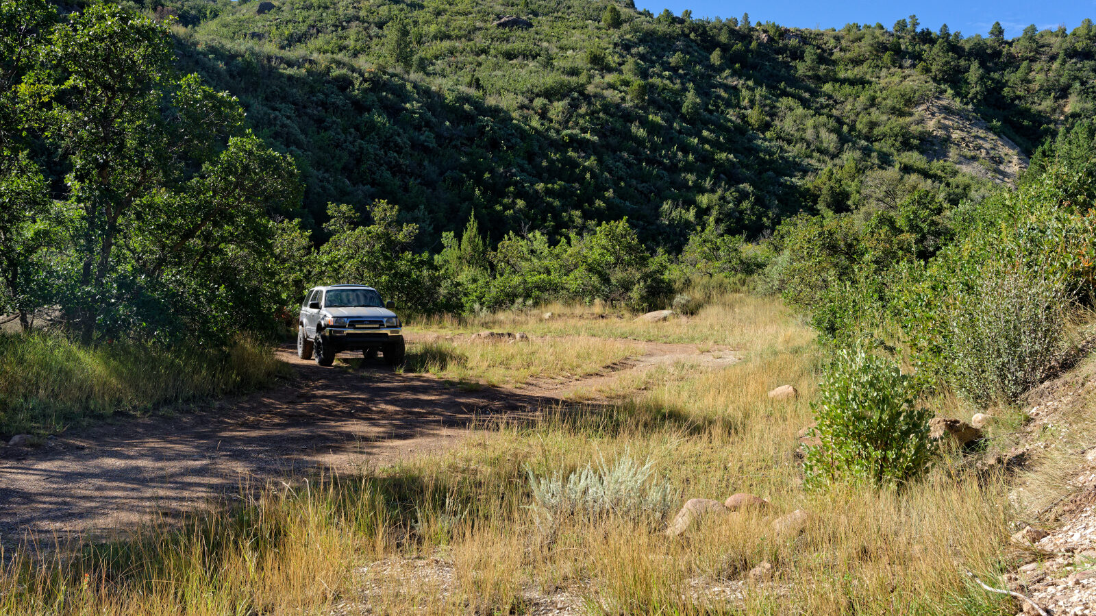
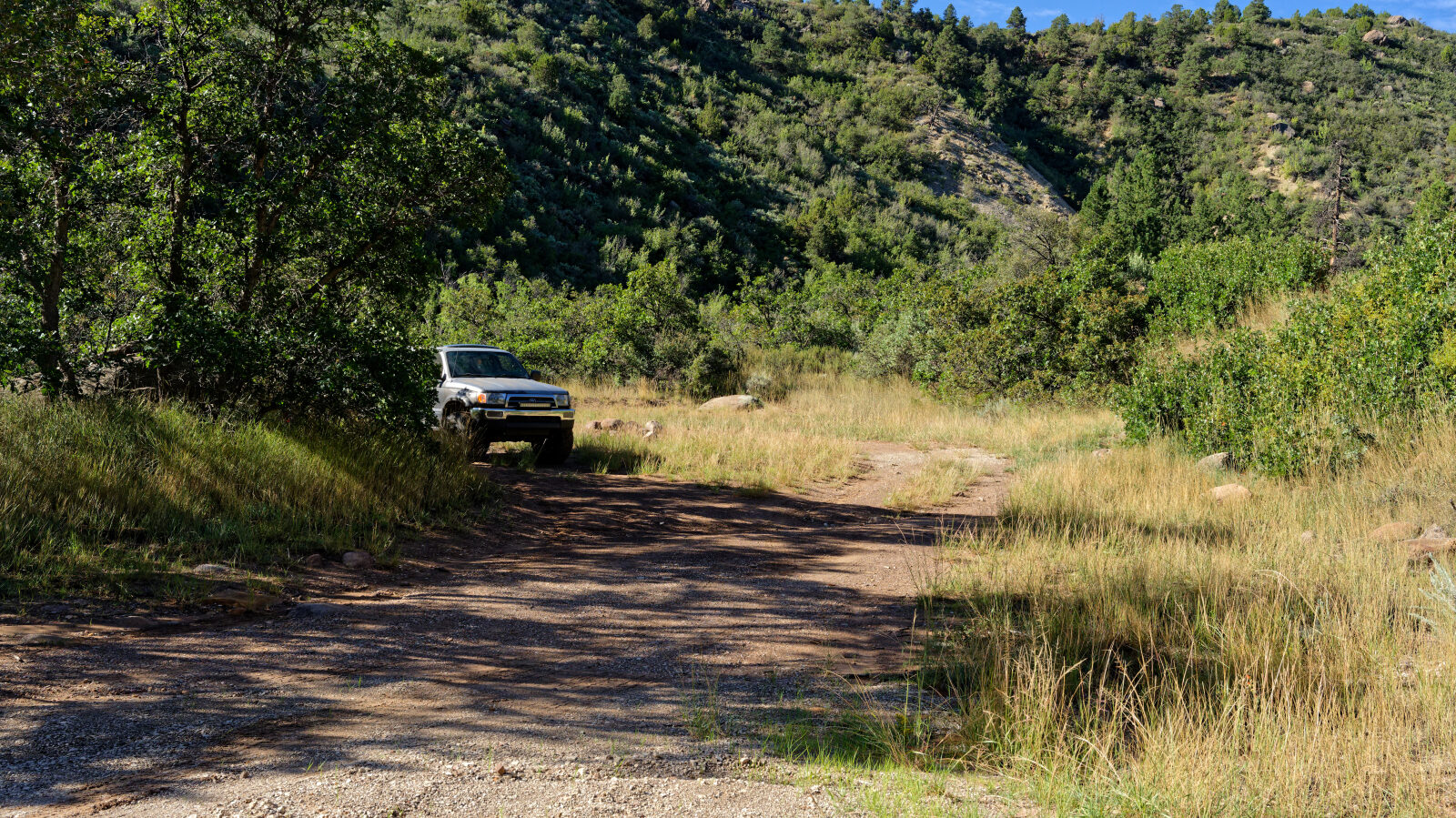
Waypoint 11 (37.36404, -113.33565)
Waypoint 12 (37.36315, -113.34485)
Long, narrow shelf road section, about one and a quarter Jeeps wide. Watch for oncoming traffic.
Waypoint 13 (37.36570, -113.34651)
Camping spot for one small rig, with no privacy and no trees.
Waypoint 14 (37.38055, -113.35044)
Waypoint 15 (37.38116, -113.35049)
A harder spot, rated Level 2.
Waypoint 16 (37.38267, -113.35136)
Waypoint 17 (37.38529, -113.35300)
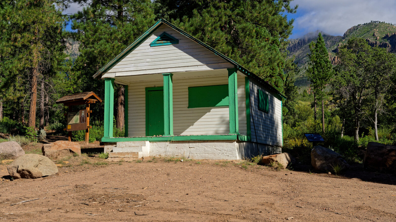
End of the road at the Browns guard station. Walk behind the building to see the sequoia, which looks different from the other trees.