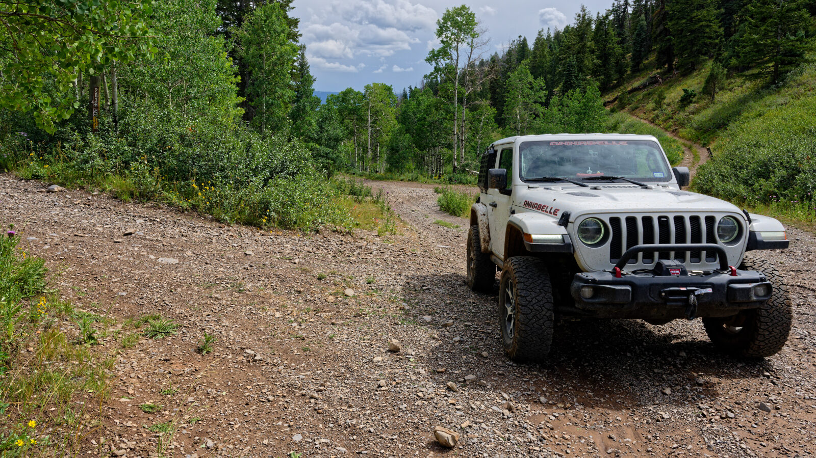
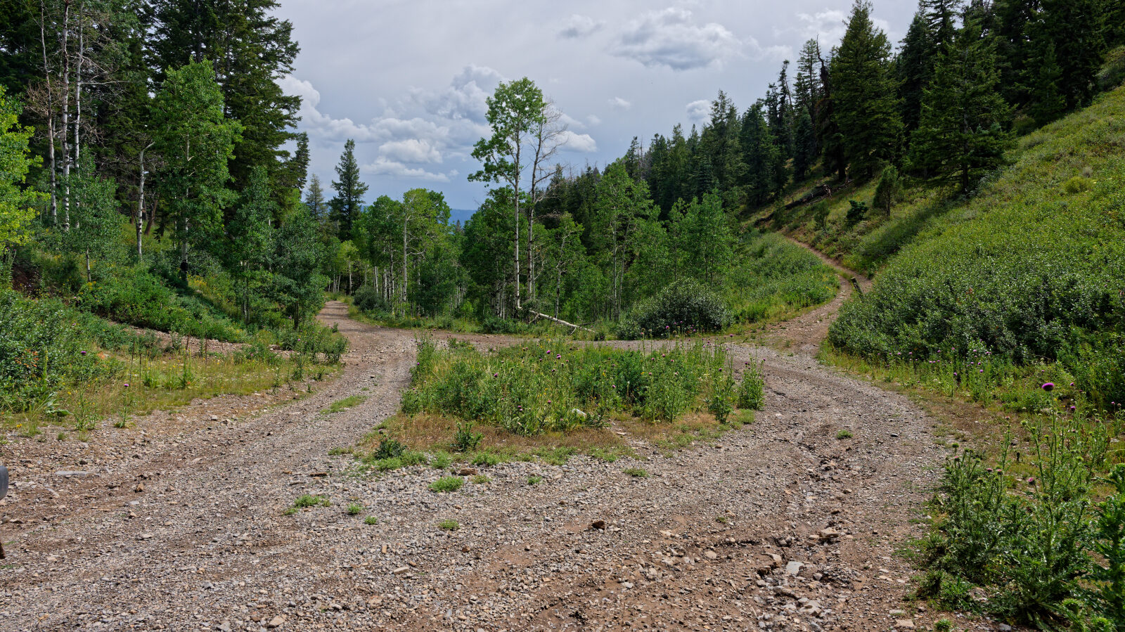
Cedar Hollow - Level 2
Cedar Hollow is a forest route in the Uinta Mountains foothills east of Kamas, in the Heber-Kamas Ranger District of the Uinta-Wasatch-Cache National Forest. It climbs from the lower benches near the Highway 35 corridor into higher timbered country. It is part of a network of OHV routes around the Shingle Creek and Taylor's Fork trailheads.
The road is used by trucks, SUVs, UTVs, ATVs and motorcycles. It is a good option for a short backcountry outing from the Kamas Valley and the Woodland area.
Trail Summary
- LocationSummit County, Utah
- Distance3.5 miles
- DifficultyLevel 2
- Elevation6,973 ft to 8,215 ft with a 1,242 ft change
- Travel Time37 minutes
Difficulty
Typically suitable for high clearance 2WD
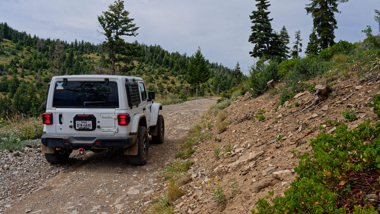
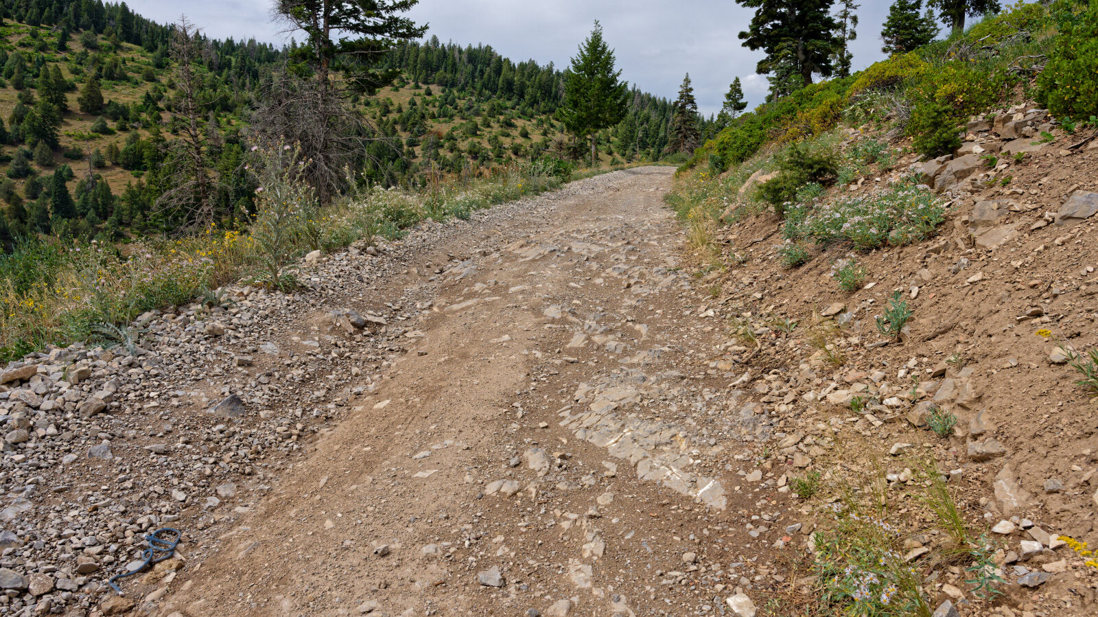
This trail is rated Easy (level 2), typically suitable for a high clearance 2WD vehicle. Stock equipment is sufficient, but the surface will likely test tire traction and ground clearance in places. Expect dirt and rocky road with dips, ruts or rocks under about 9 inches, and possibly small ledges or shallow water under 12 inches. The road is typically unmaintained after rain or snow and is generally one to two vehicles wide. The driver's log does not call out any obstacle needing special attention, so a careful driver in a high clearance vehicle should not need more than normal care on the steeper or rougher sections.
Terrain
The route is a native-surface forest road that gains roughly 1,200 feet from start to finish, moving from lower, more open slopes into higher forested ground. Surfaces are dirt with rocky patches, and the road narrows to one or two vehicles wide. Expect it to be soft or rutted after rain and to hold snow into late spring.
Highlights
The area has plenty of other routes to combine with this one, including the Taylor's Fork trails that connect to the Cedar Hollow OHV system. Camping is available near the Shingle Creek trailhead. The forest road conditions page lists Cedar Hollow as FR202, so check it for closures before you go. A Uinta-Wasatch-Cache pass may be required at fee sites.
Map
The interactive map needs JavaScript. Every waypoint is also listed below.
Waypoints
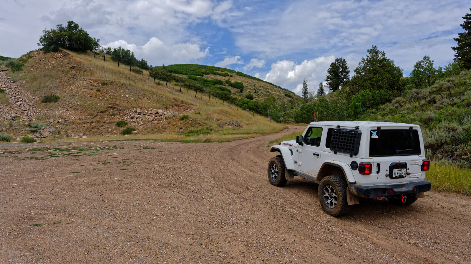
Waypoint 1 (40.55619, -111.16260)
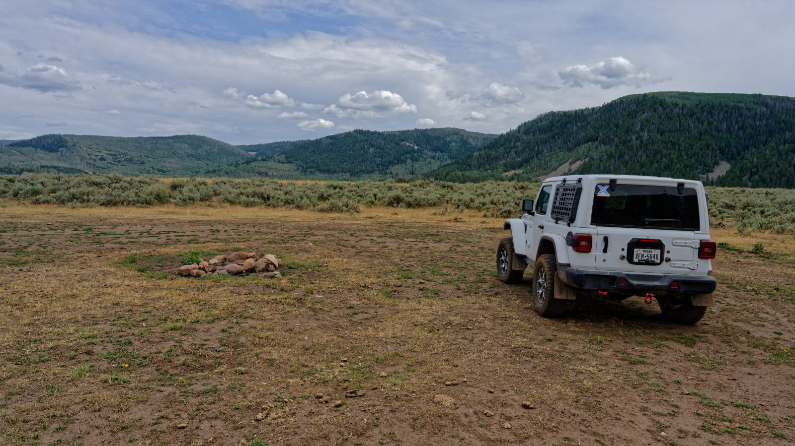
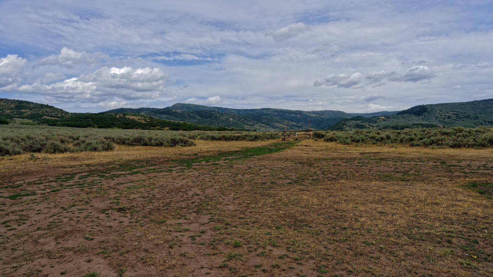
Waypoint 2 (40.55874, -111.15625)
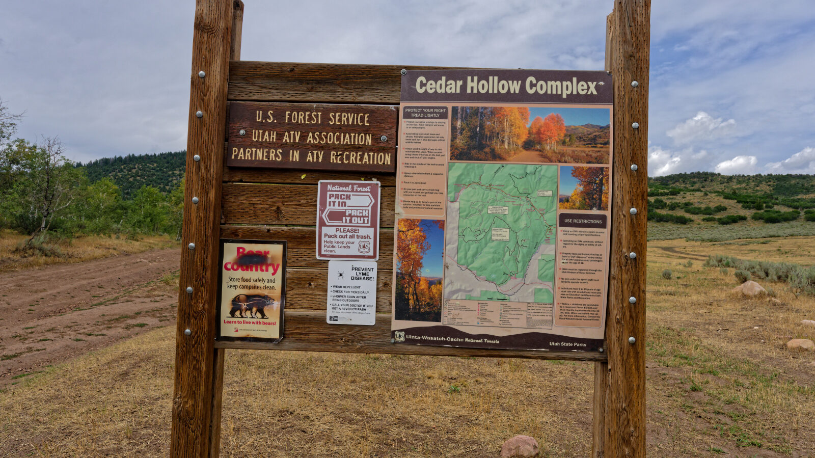
Waypoint 3 (40.56340, -111.15167)
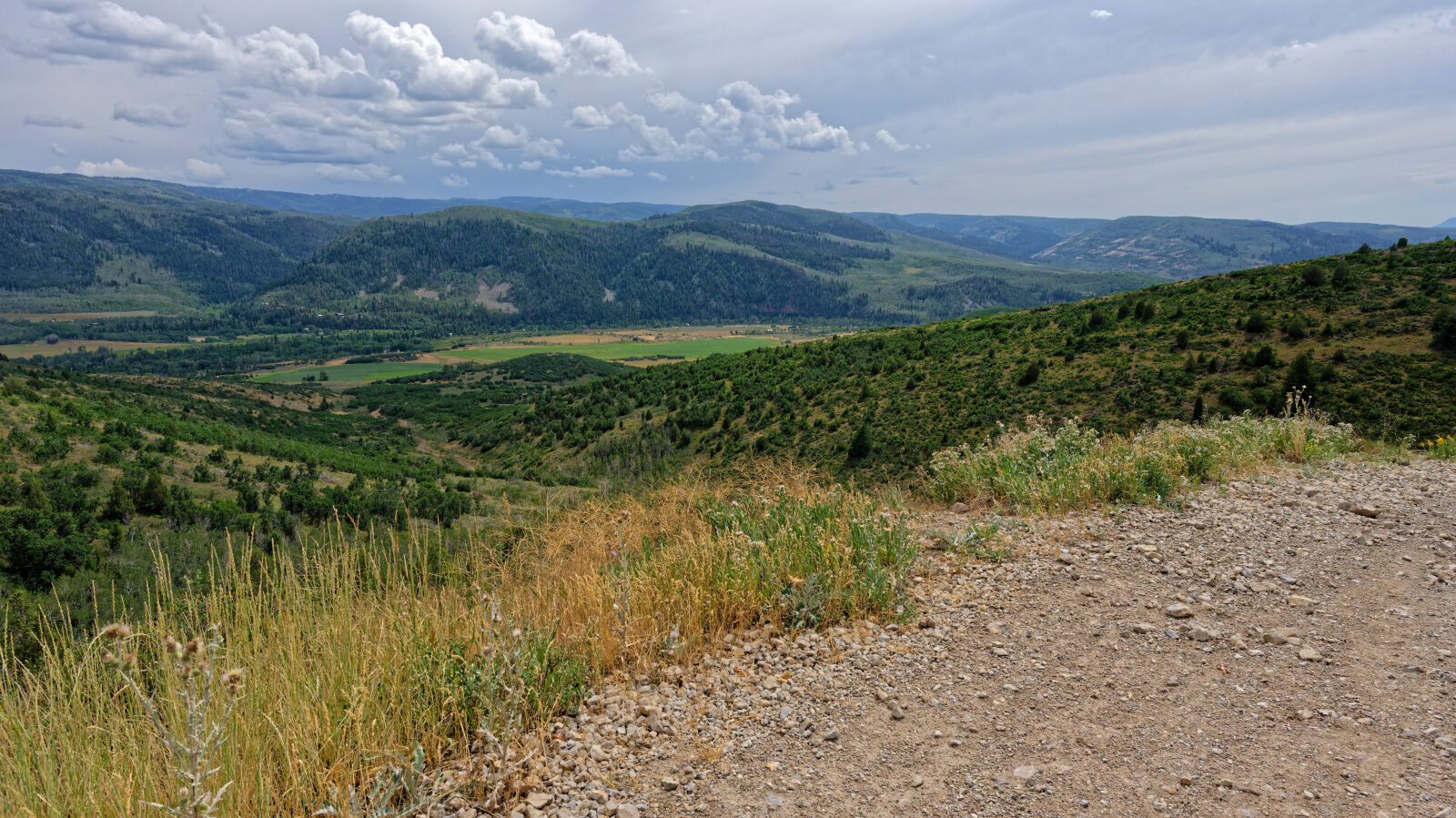
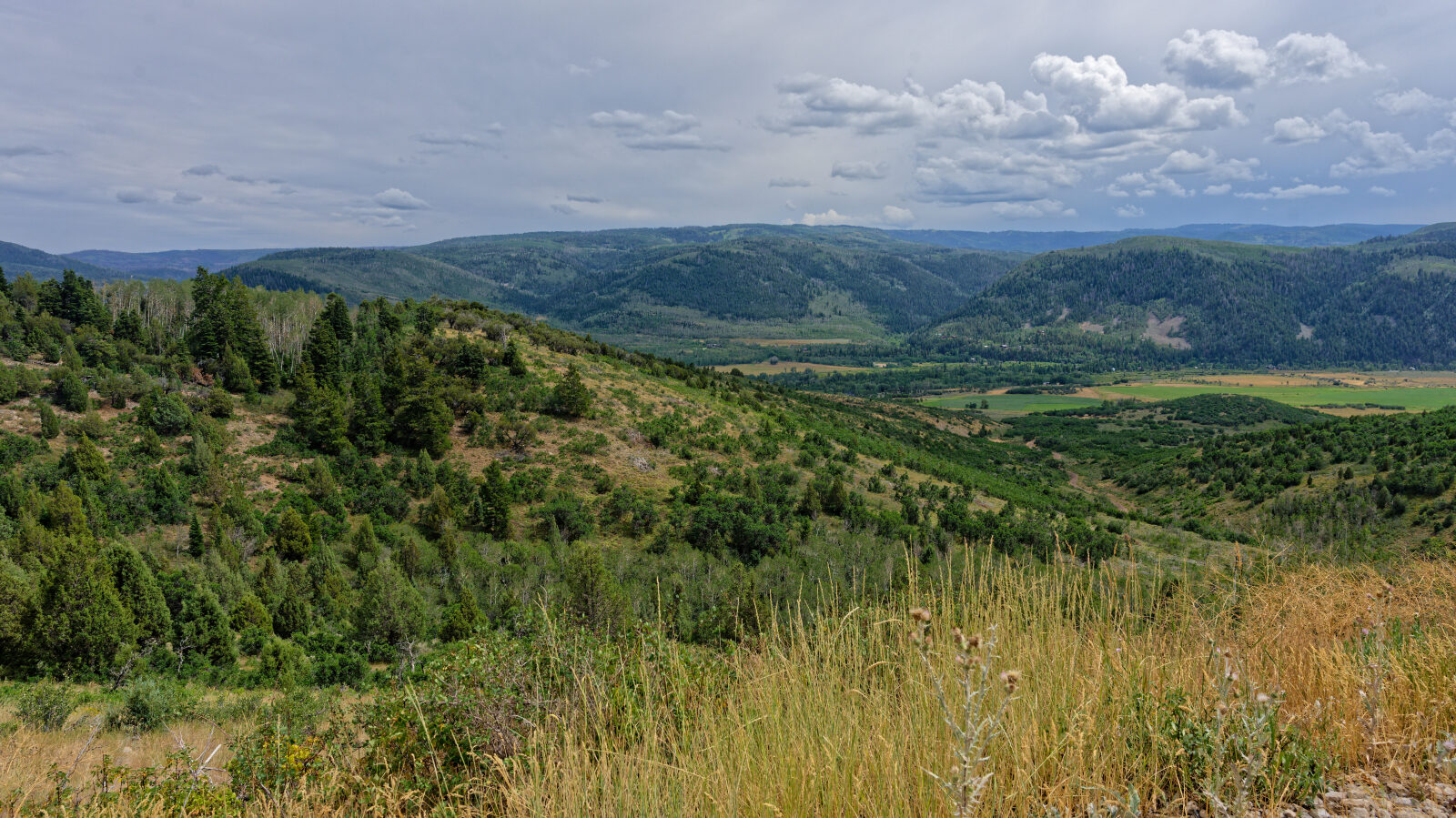
Waypoint 4 (40.57398, -111.14425)
Waypoint 5 (40.57550, -111.14522)