Cedar Hollow Ohv - Level 2
Cedar Hollow OHV is a short forest route in the western Uinta Mountains, on the Heber-Kamas Ranger District of the Uinta-Wasatch-Cache National Forest in Summit County, Utah. It sits close to the Mirror Lake Highway south of Kamas and is part of the Taylor's Fork and Cedar Hollow OHV network, which is popular with ATV and side-by-side riders.
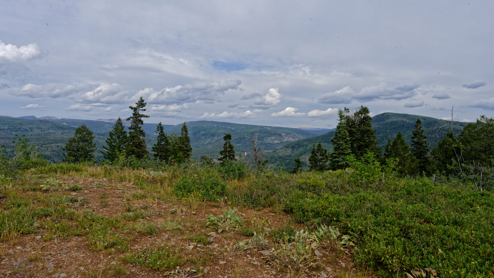
The route passes through aspen and mountain timber at the head of a hollow. It makes an easy side trip or a connector for anyone camping or riding in the area.
Trail Summary
- LocationSummit County, Utah
- Distance1.0 miles
- DifficultyLevel 2
- Elevation8,213 ft to 8,375 ft with a 162 ft change
- Travel Time21 minutes
Difficulty
Typically suitable for high clearance 2WD
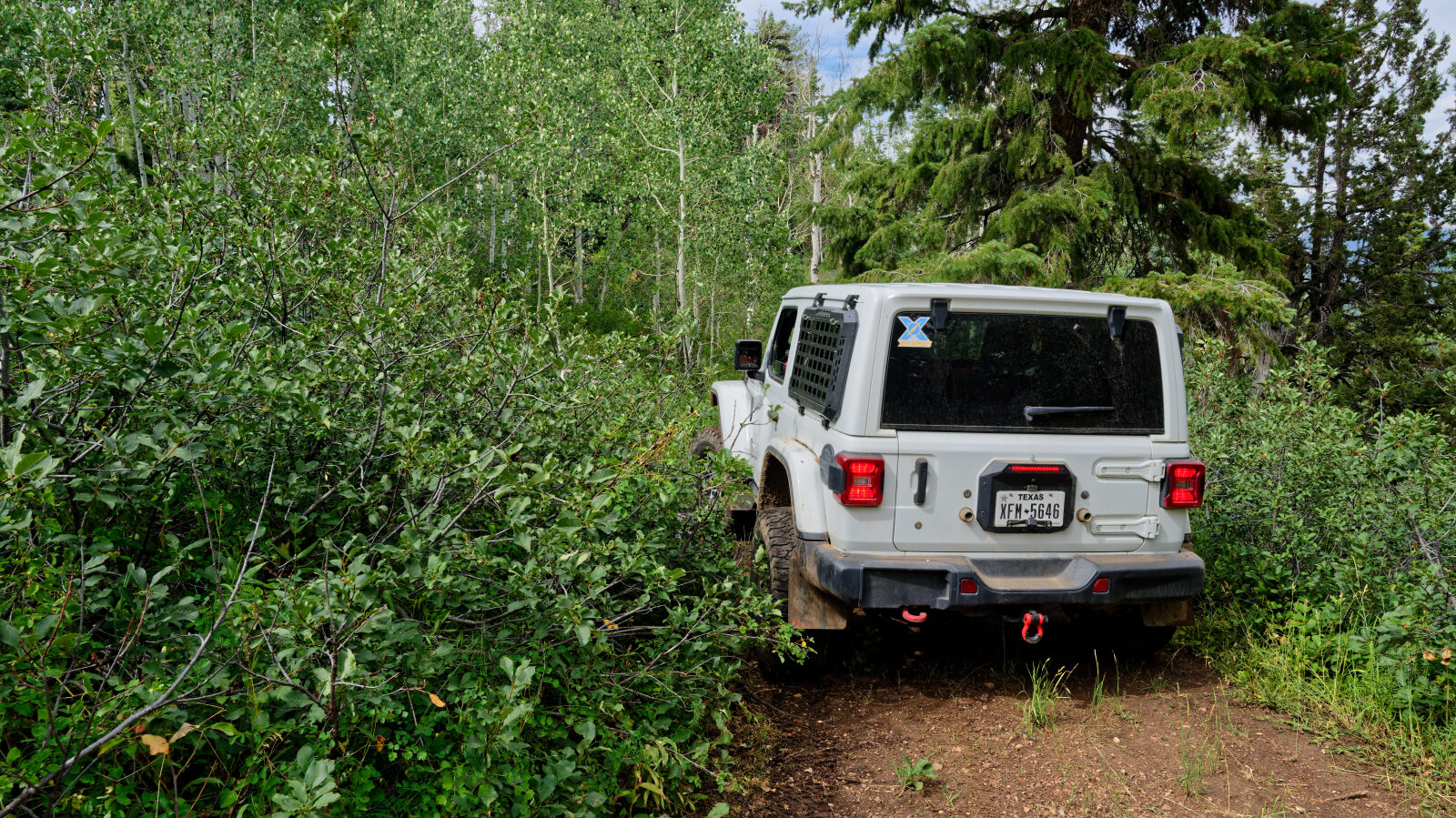
This trail is rated Level 2, Easy. A stock high clearance 2WD vehicle is sufficient, though the surface will test tire traction and ground clearance in places. Expect a dirt or rocky road with dips, ruts or rocks smaller than about 9 inches. Shallow water crossings and small ledges under 12 inches are possible. The road is typically unmaintained after rain or snow and is one to two vehicles wide. The driver's log does not call out any obstacle needing special attention.
Terrain
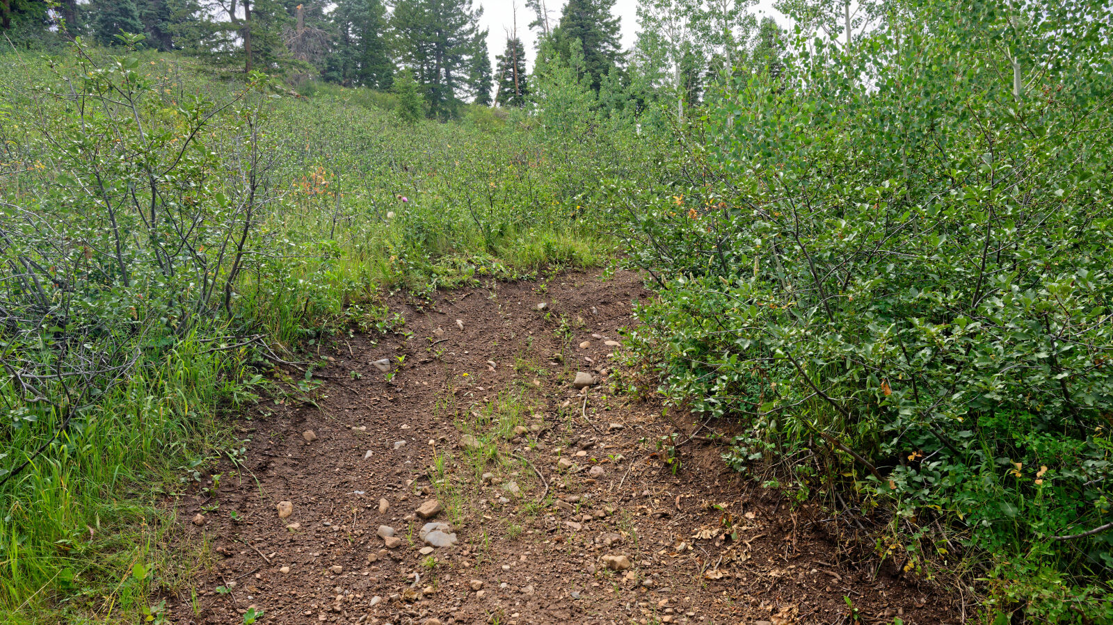
The route follows a dirt and gravel forest road through aspen and conifer stands on the mountainside above the Provo River drainage. The road is narrow, about one to two vehicles wide, and the surface can be soft or rutted after rain and snowmelt. The route is at roughly 8,200 to 8,400 feet, so snow can linger into late spring.
Highlights
The route links with the Taylor's Fork trails and the Shingle Creek ATV trailhead and campground, so it can be combined with other riding in the area. The surrounding Cedar Hollow trails also have a campground. Aspen groves make the fall color season a good time to visit. Riders in the area are asked to stay on dry, solid surfaces in spring, when the ground is wet and fragile.
Map
The interactive map needs JavaScript. Every waypoint is also listed below.
Waypoints
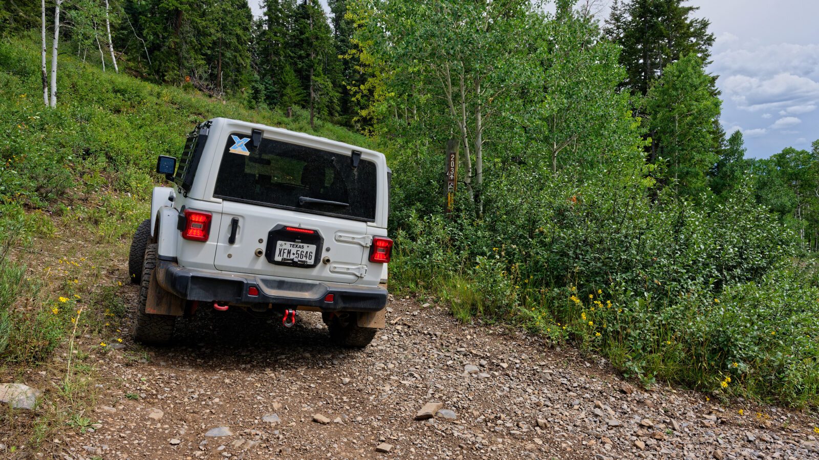
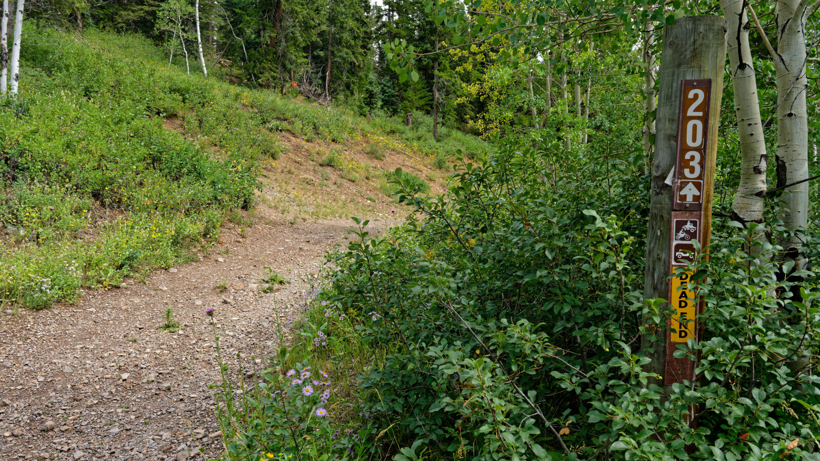
Waypoint 1 (40.58952, -111.14613)
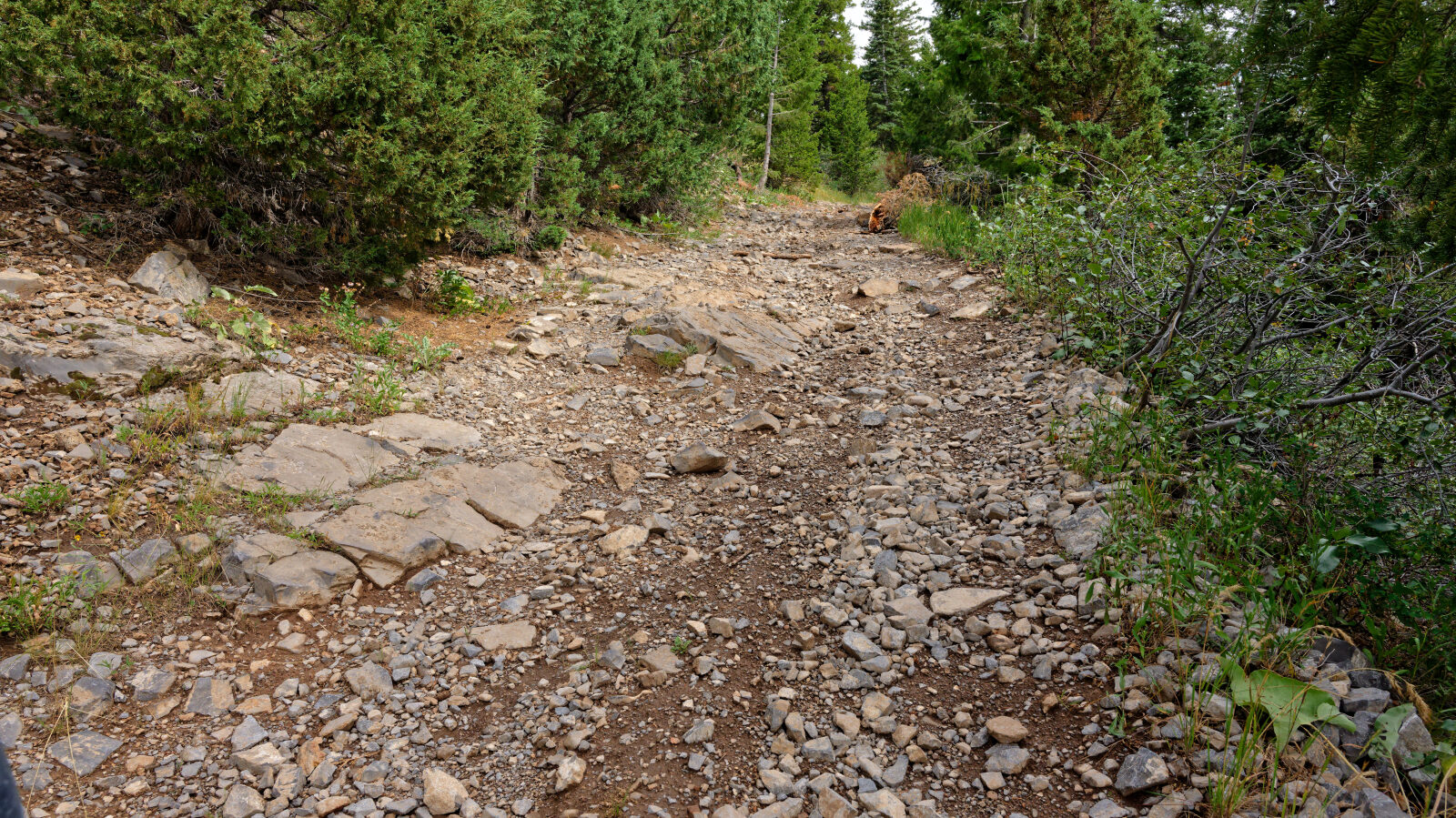
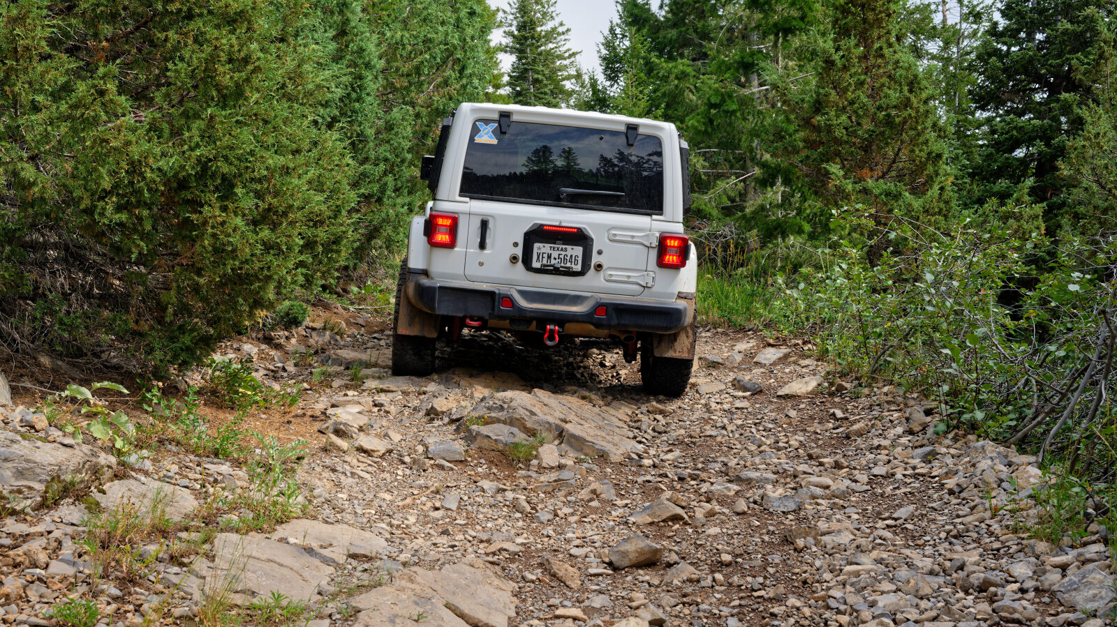
Waypoint 2 (40.58702, -111.14450)