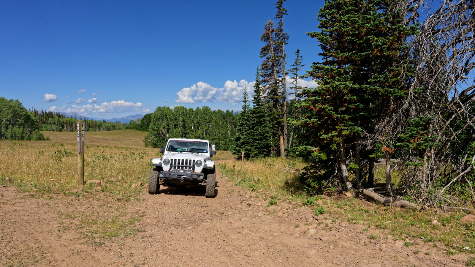
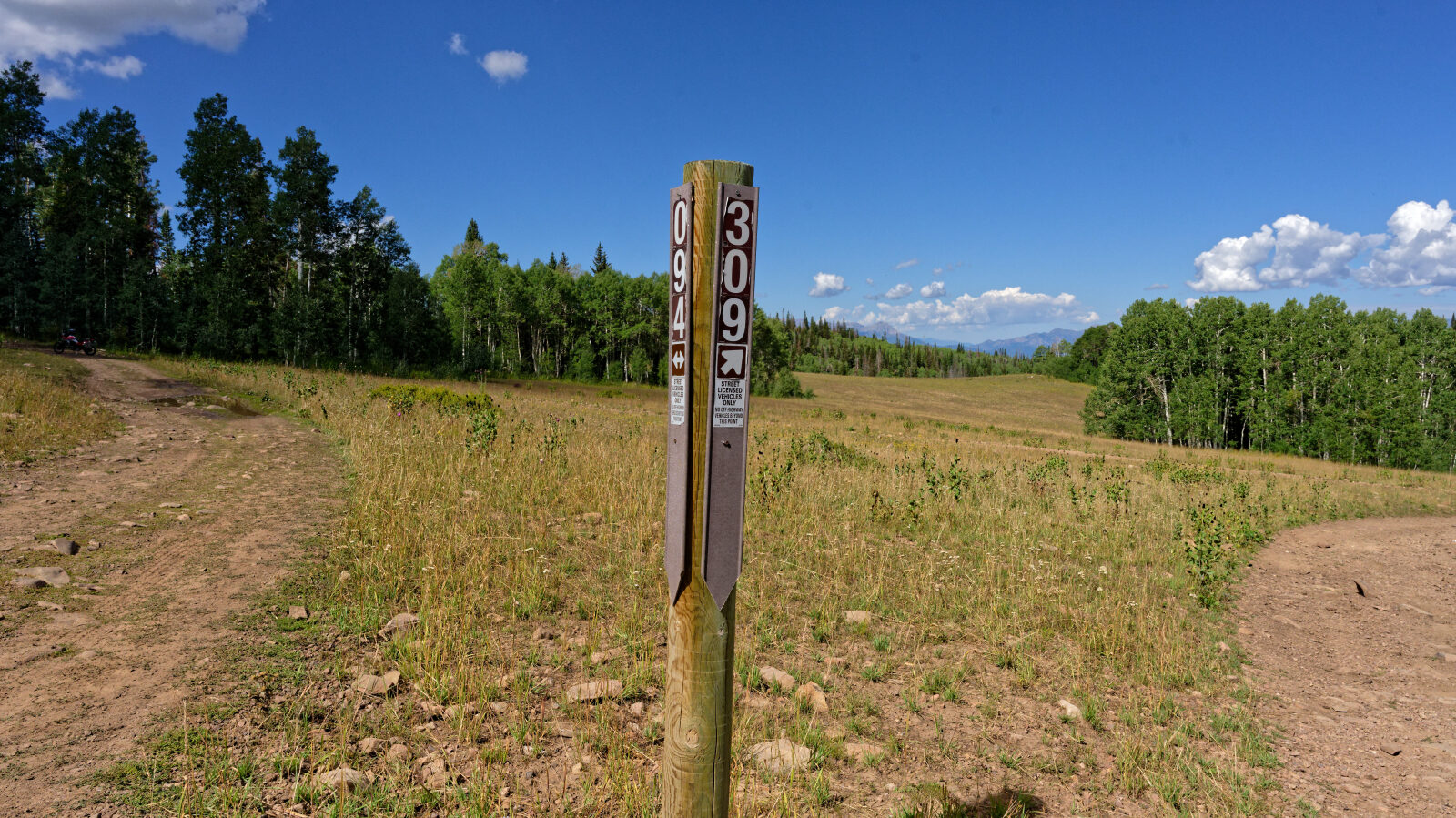
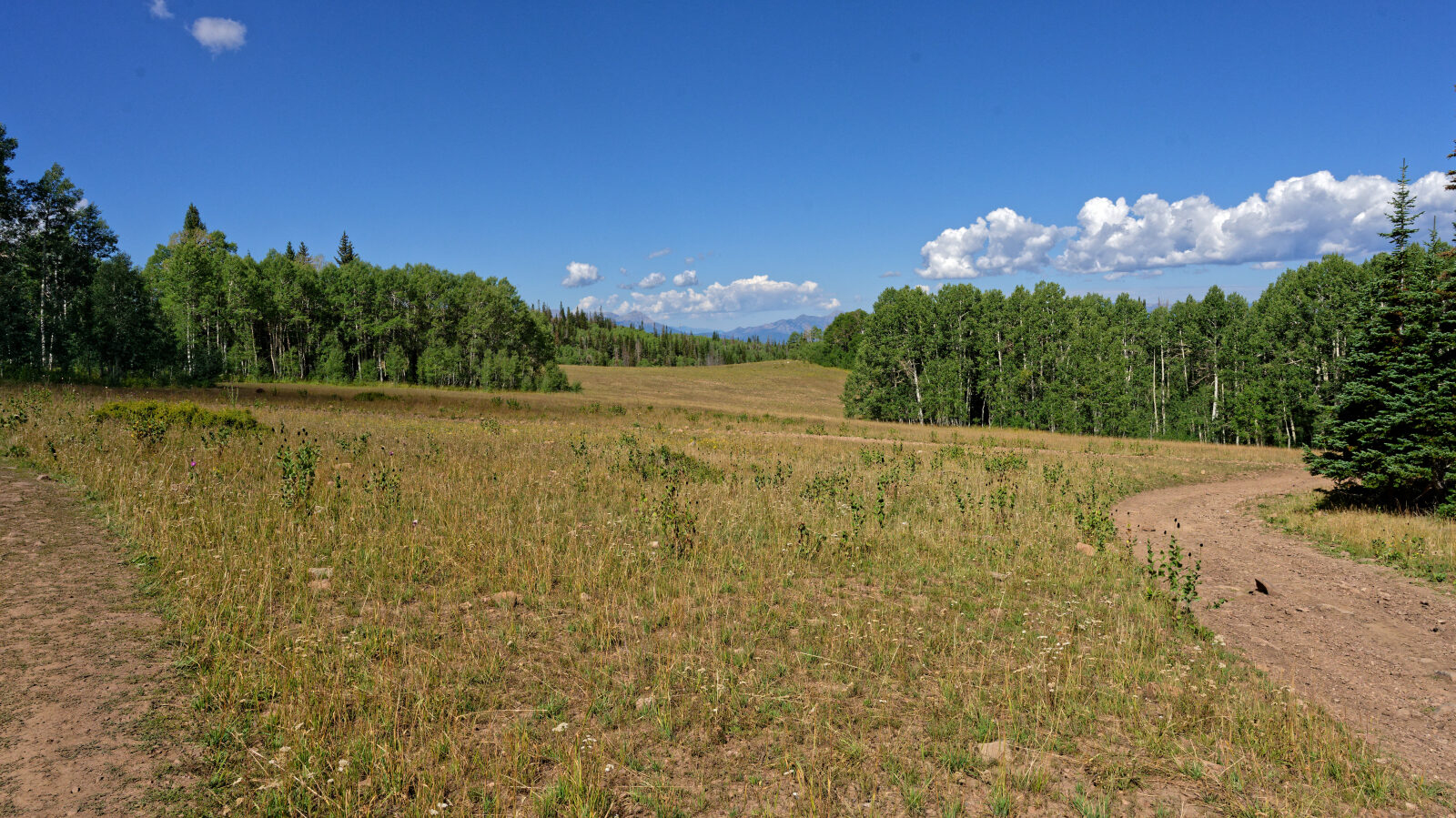
Center Creek Road - Level 3
Center Creek Road climbs from the Heber Valley area into the Wasatch Mountains of northern Utah, following the Center Creek drainage up toward high forest and open ridgeline country. The route moves from lower sagebrush and scrub oak slopes into aspen and conifer stands as it gains height.
It makes a good half-day outing for drivers who want a mountain road with views and room to stop along the way.
Trail Summary
- LocationIndependence, Utah
- Distance8.5 miles
- DifficultyLevel 3
- Elevation6,276 ft to 9,431 ft with a 3,155 ft change
- Travel Time57 minutes
Difficulty
Best suited for a high clearance 4x4
This trail is rated Moderate (level 3), best suited for a high clearance 4x4. Expect a stock vehicle with good ground clearance, 4WD and off-road tires to manage it. The surface can be uneven and rutted, with loose rocks, sandy washes, possible mud holes and short steep grades. Obstacles are generally under 12 inches, and any water crossings should be less than a foot deep. The road is typically one vehicle wide with places to pass. The driver's log did not call out any specific obstacle that needs special attention.
Map
The interactive map needs JavaScript. Every waypoint is also listed below.
Waypoints
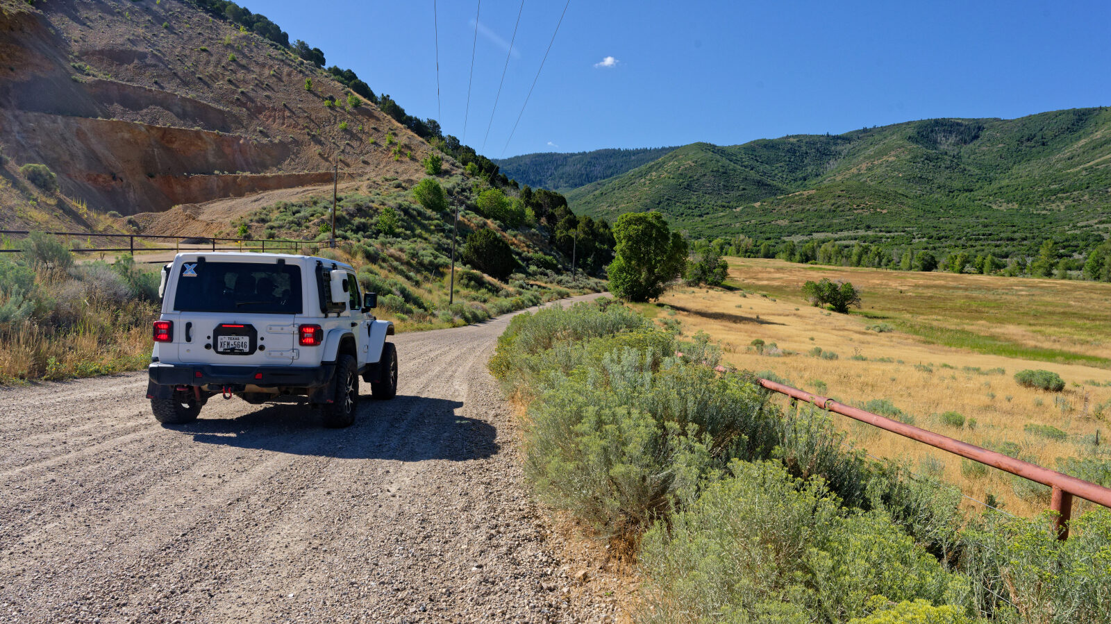
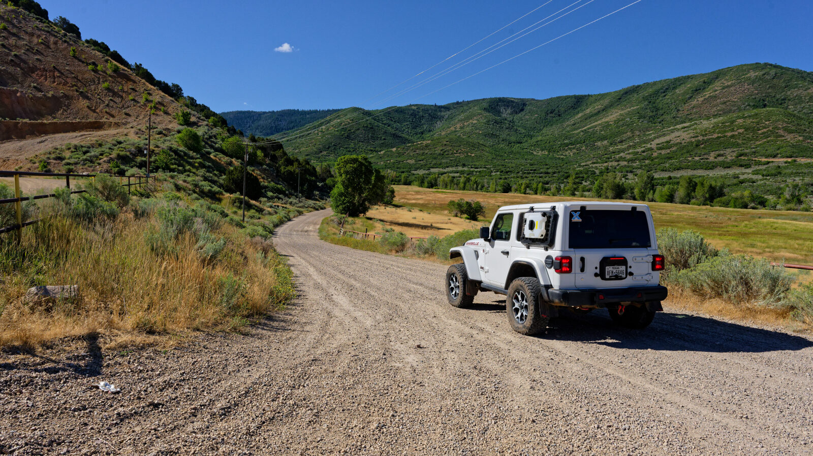
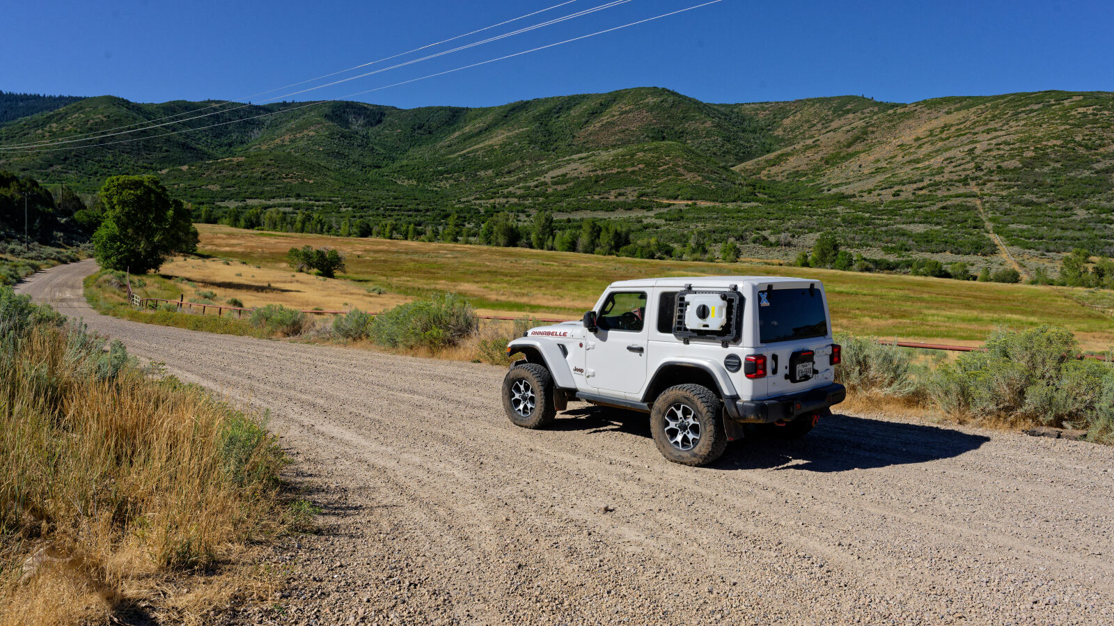
Waypoint 1 (40.45392, -111.32474)
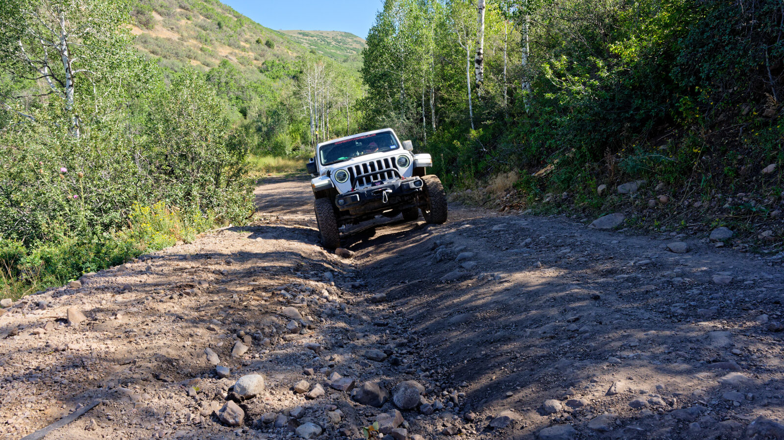
Waypoint 2 (40.44455, -111.28249)
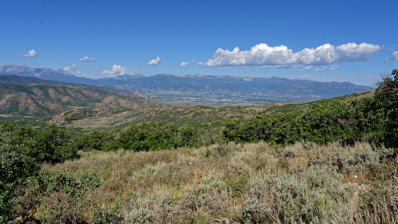
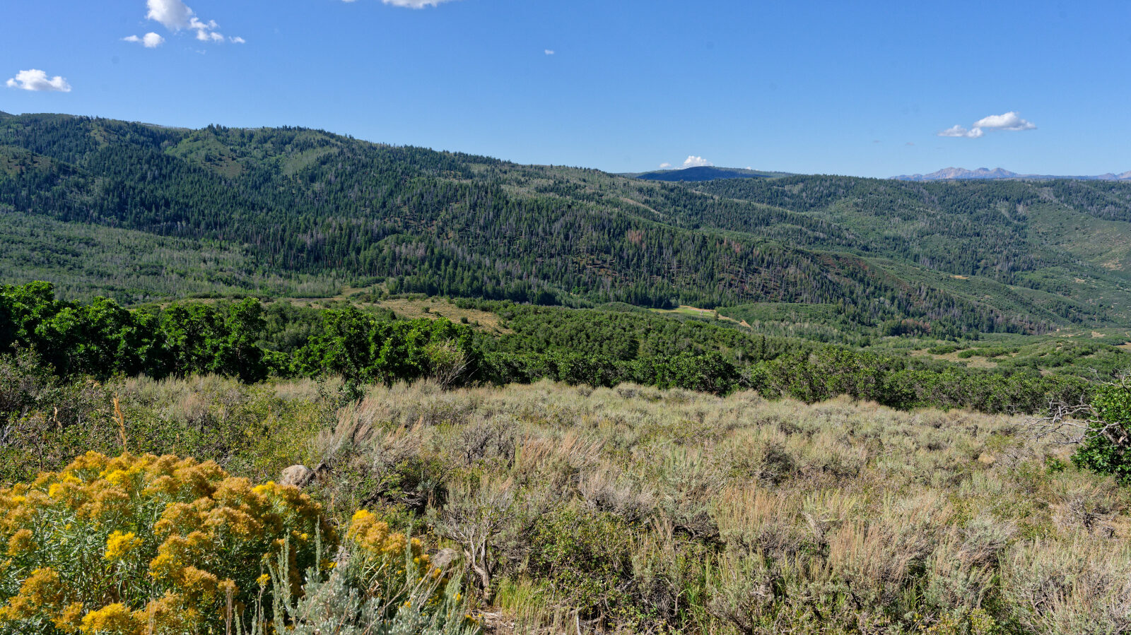
Waypoint 3 (40.44332, -111.27552)
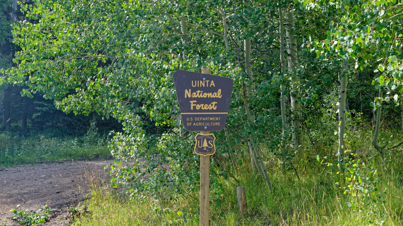
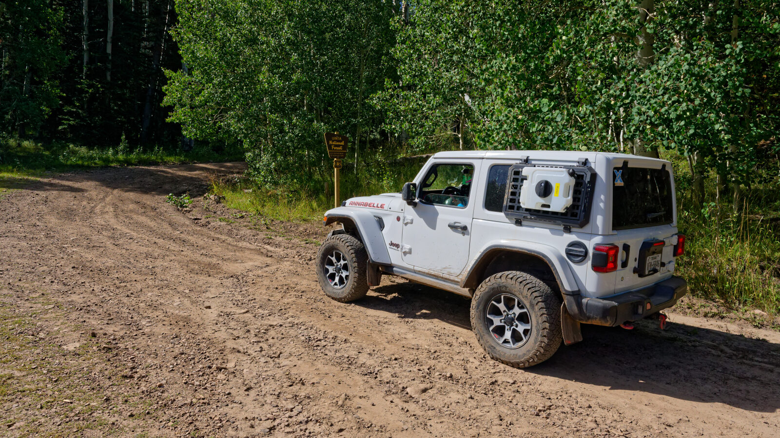
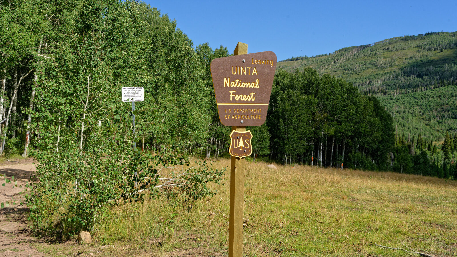
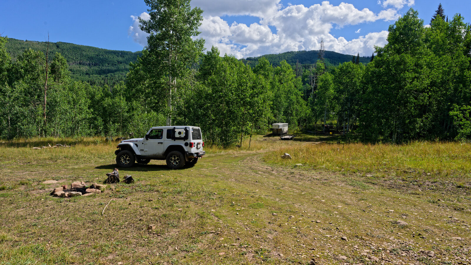
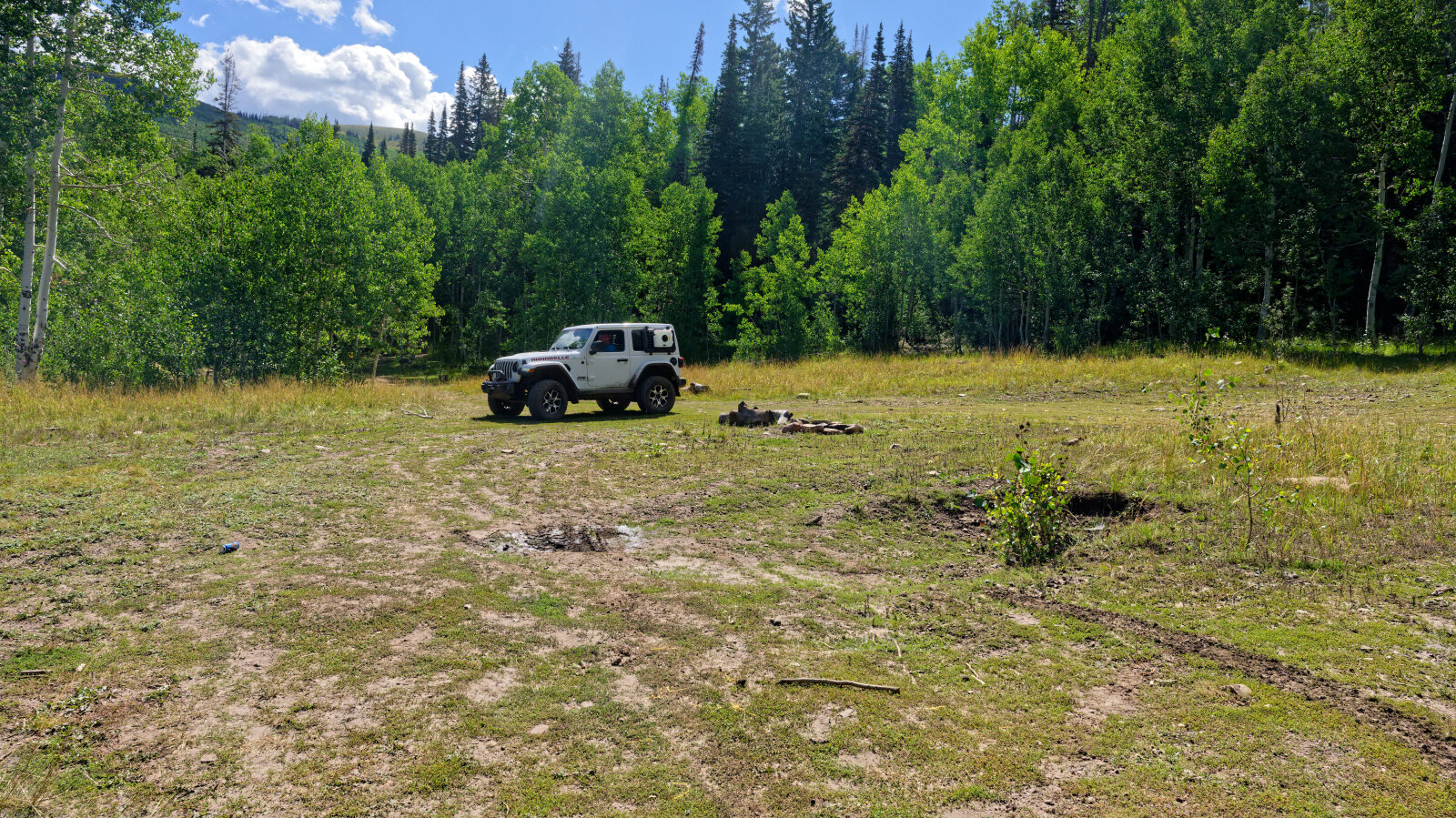
Waypoint 4 (40.42018, -111.24861)
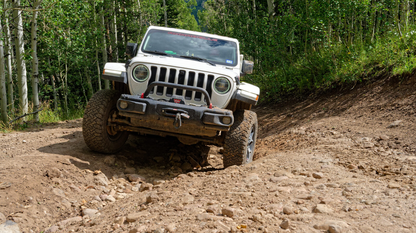
Waypoint 5 (40.41900, -111.24996)