JR North Off Roading Trail Reports Search trails

Updated Oct 4, 2026

Clear Creek - Level 1

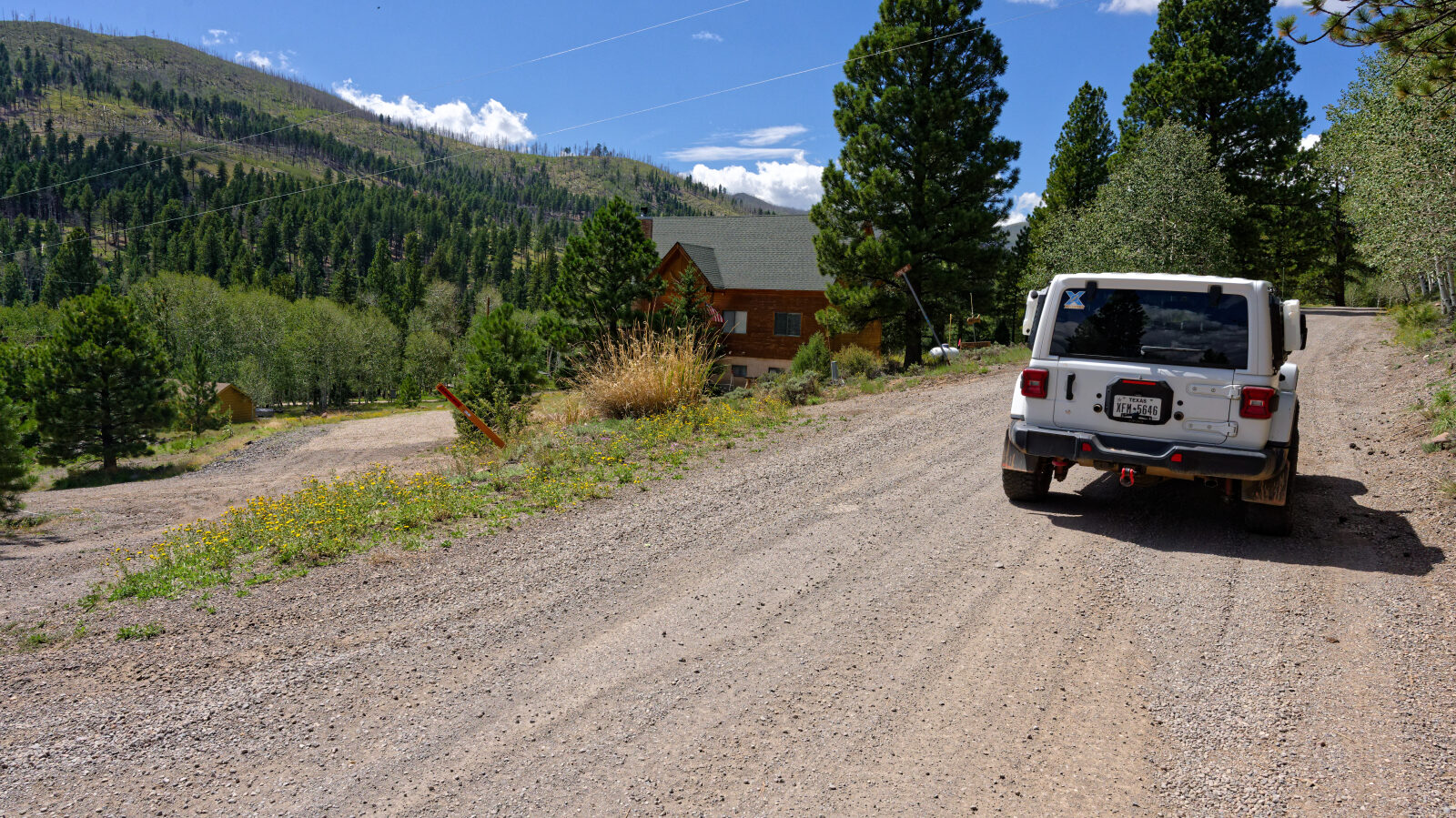
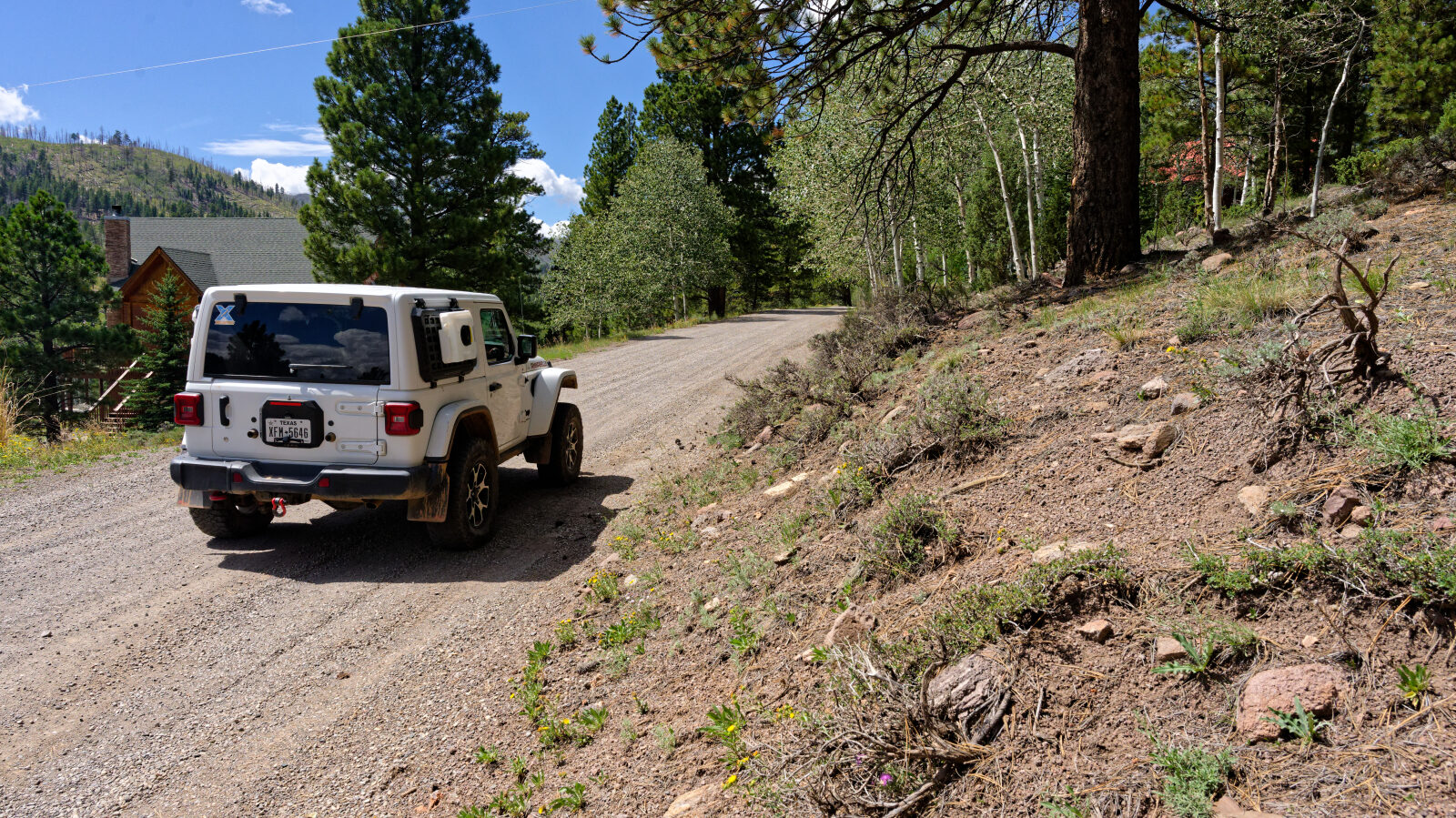
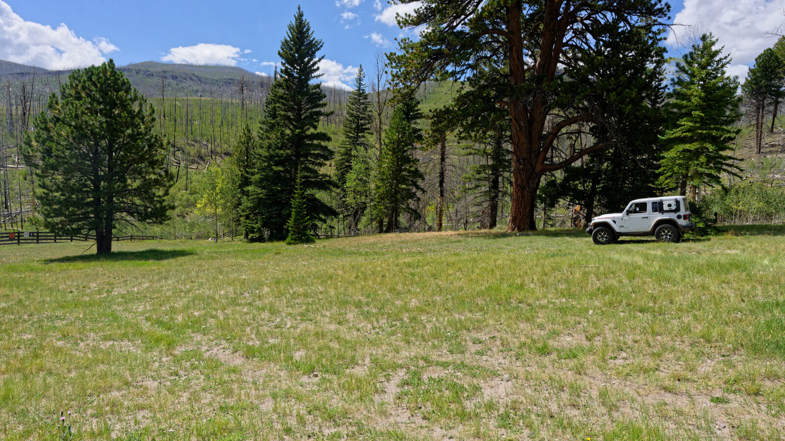
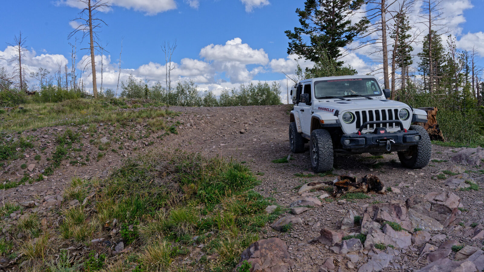
Clear Creek Canyon Road, number 30050, climbs a canyon in Garfield County, Utah, on the Dixie National Forest. It follows the drainage past open dispersed camping areas and some shaded spots near private land. The road ends at a restricted narrow trail that continues to a high viewpoint.

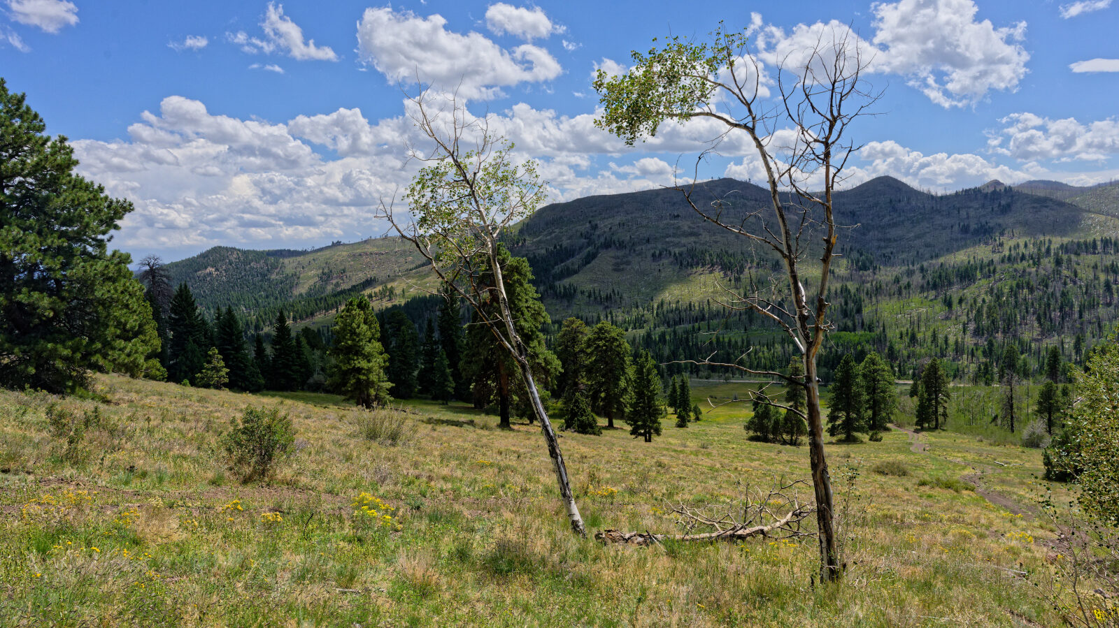
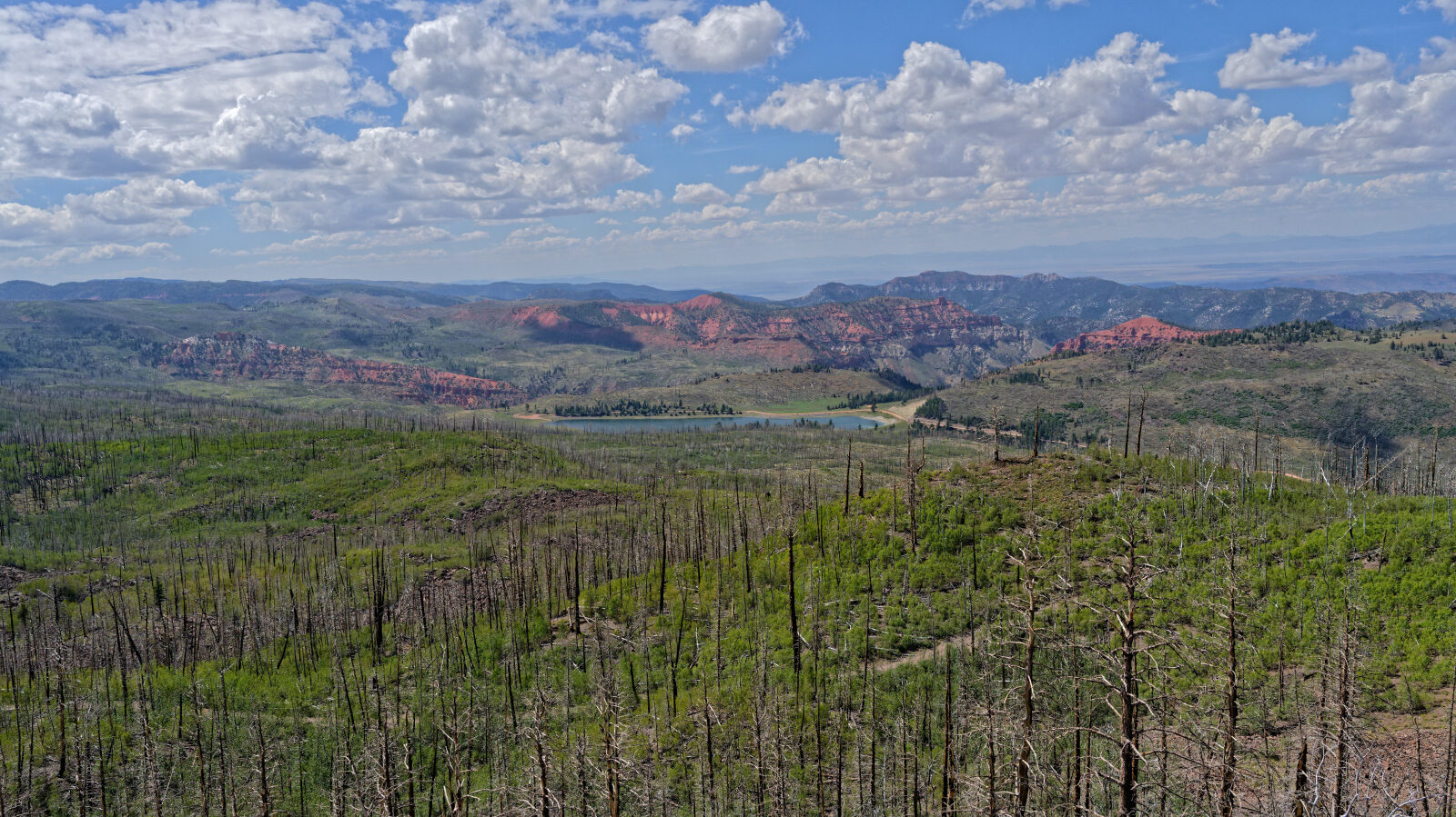
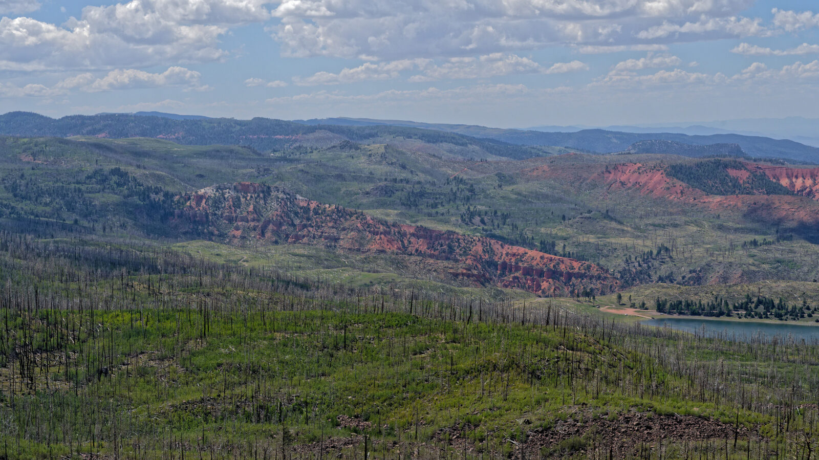
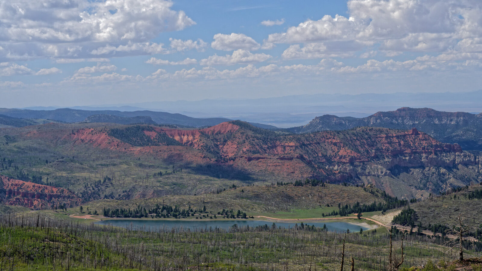
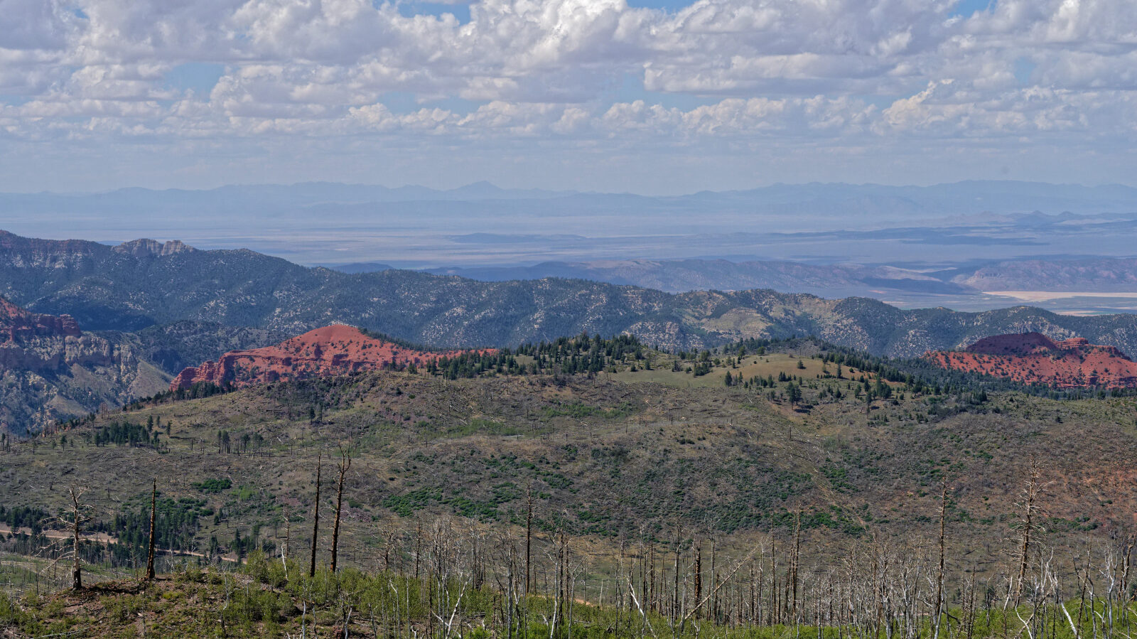
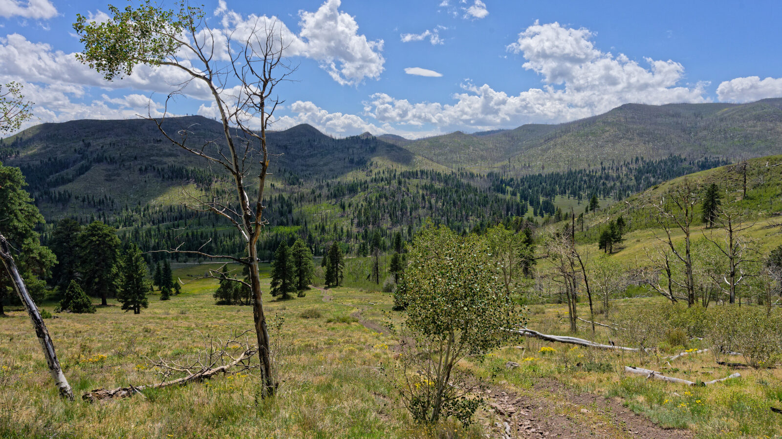
From the top, the views take in Yankee Meadows Reservoir, out toward Parowan Gap and across to the mountains in Nevada.

Trail Summary

  • LocationGarfield County, Utah
  • Distance5.8 miles
  • DifficultyLevel 1
  • Elevation8,422 ft to 9,861 ft with a 1,439 ft change
  • Travel Time44 minutes

Difficulty

Suitable for high clearance 2WD

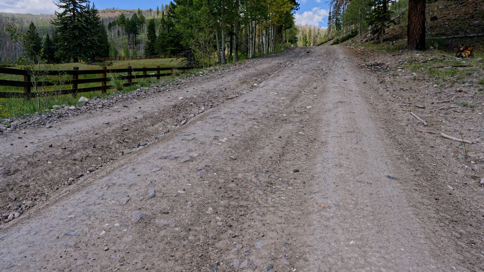
Level 1 is an easy rating, suitable for high clearance 2WD. Stock equipment is enough. Expect dirt and rocky road with small challenges under 5 inches, such as rocks, dips or ruts, and gentle grades with good traction. The road is typically two vehicles wide. The driver rated this road level 1 and called out nothing special on the road itself. The restricted trail at the end is a separate route and is not part of this rating. Full-size rigs should not drive that last section.

Terrain

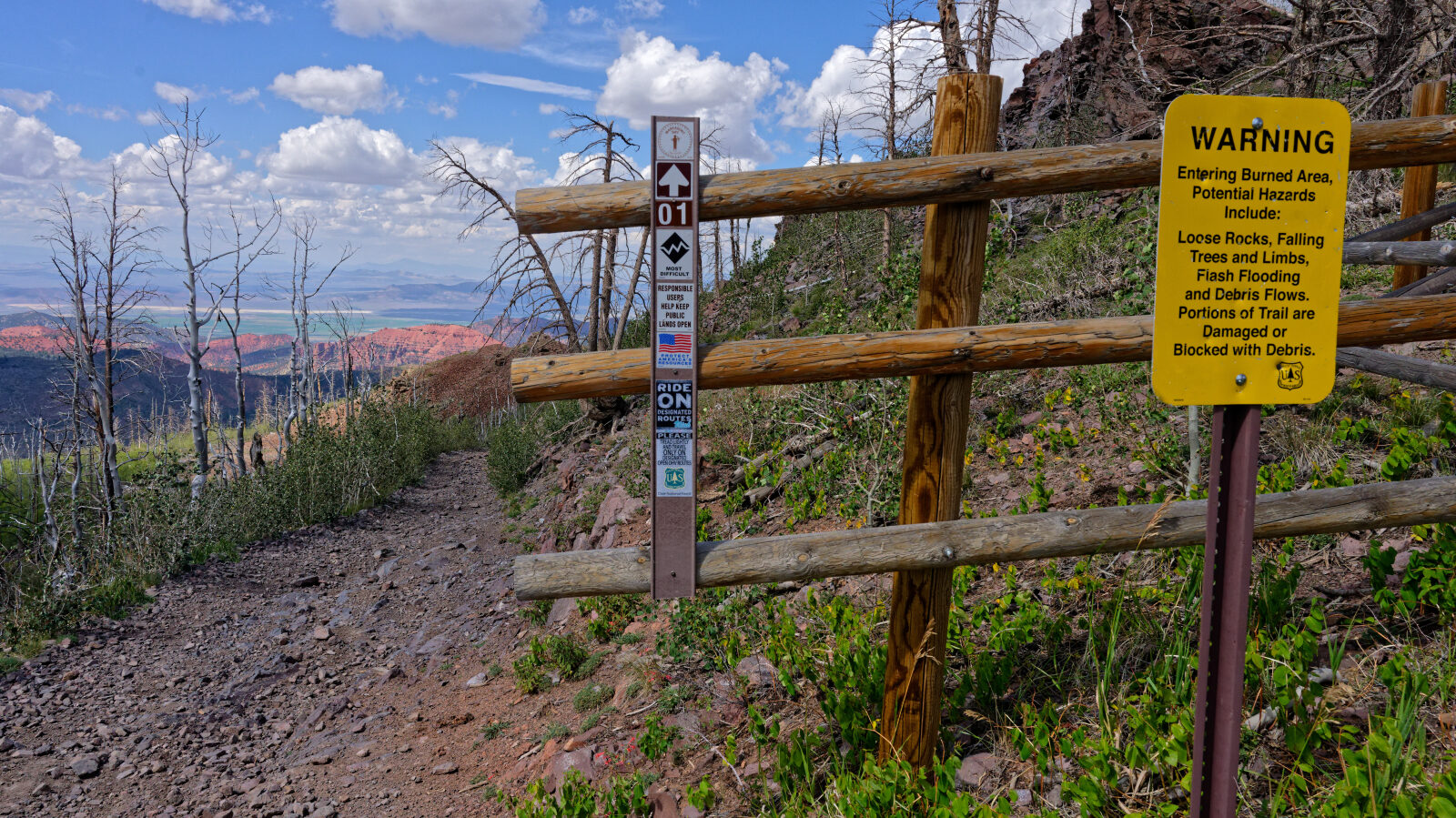
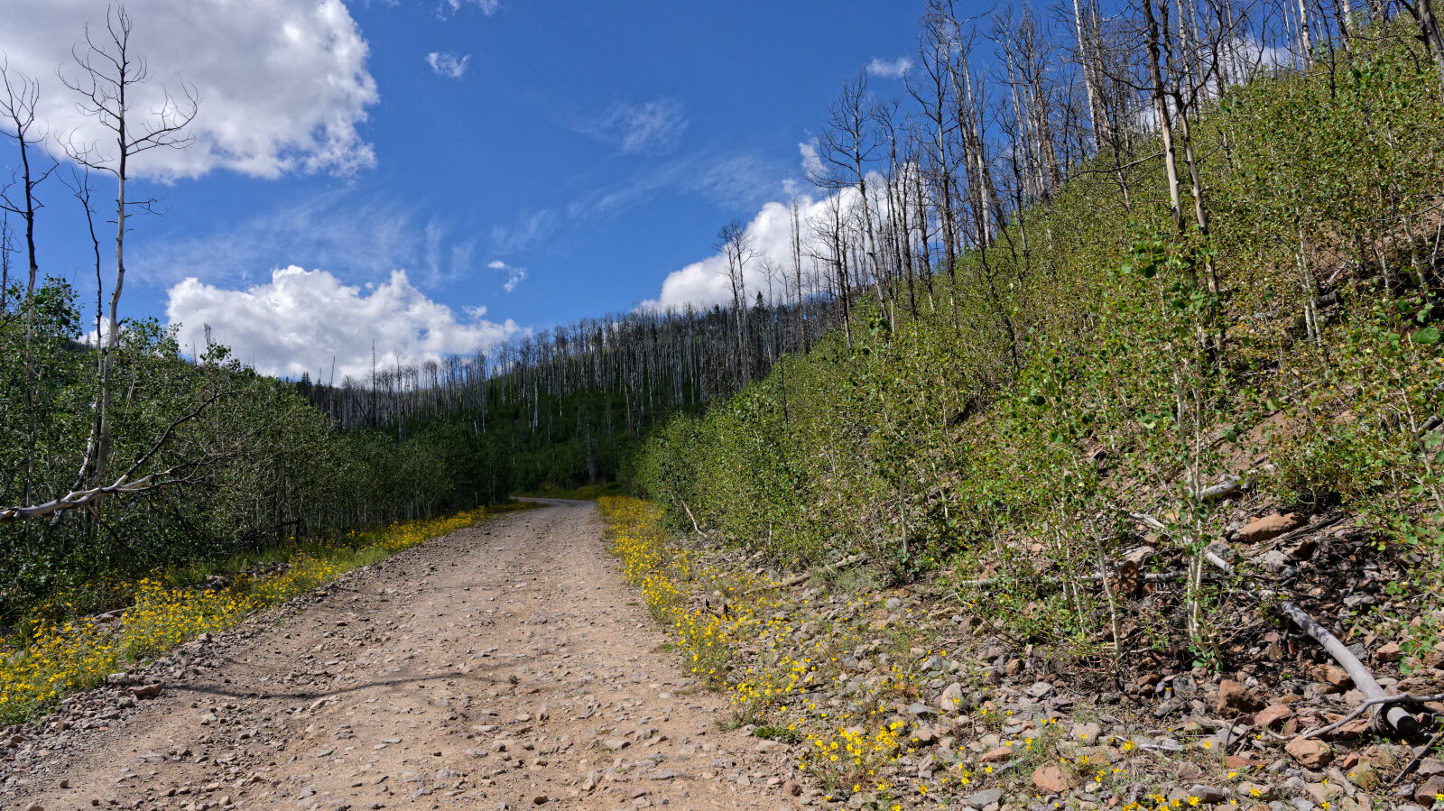
The road is dirt and rock as it follows Clear Creek canyon, gaining elevation toward the top. Camp areas along the way range from open flats to shaded spots beside the creek corridor. Further up, the narrow continuation is a shelf road made of loose shale.

Highlights

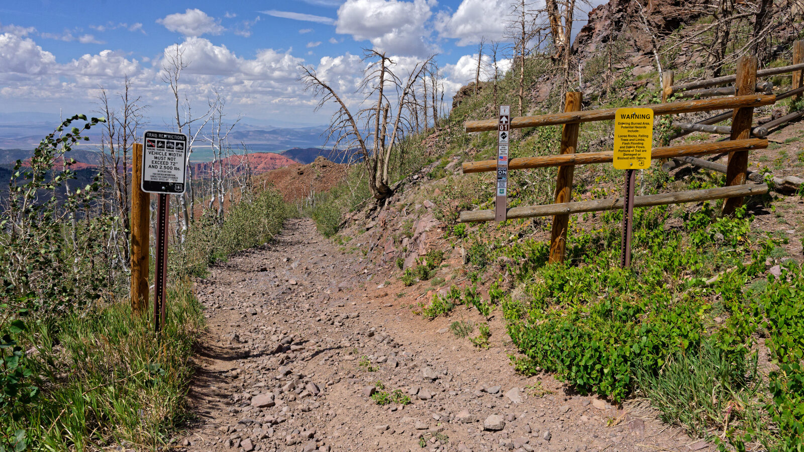
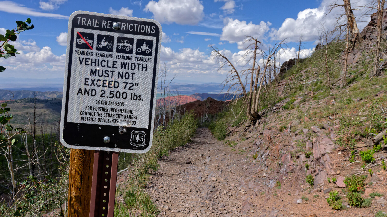
The end of the road has a 72 inch wide restricted trail with a weight limit of 2,500 lbs. The log notes that a heavier rig can slide off the shale shelf, and that most Jeeps do not qualify. Full-size rigs should not drive that part of the trail. Camping is available near the start with room for four or five rigs including trailers, and a smaller shaded site farther up holds two or three.

To get more information and the trail GPS file, please visit Trails Offroad.

Map

The interactive map needs JavaScript. Every waypoint is also listed below.

Photo Log note only Number = waypoint (everything within 50 m shares one)

Waypoints

Start of Clear Creek Canyon Road, number 30050. Start of Clear Creek Canyon Road, number 30050.
Waypoint 1 (37.72727, -112.68648)

Start of Clear Creek Canyon Road, number 30050.

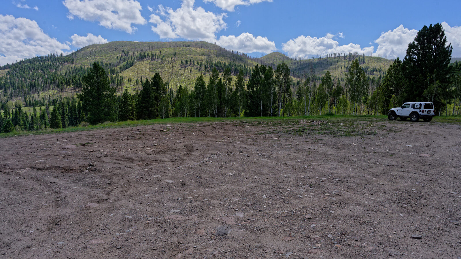
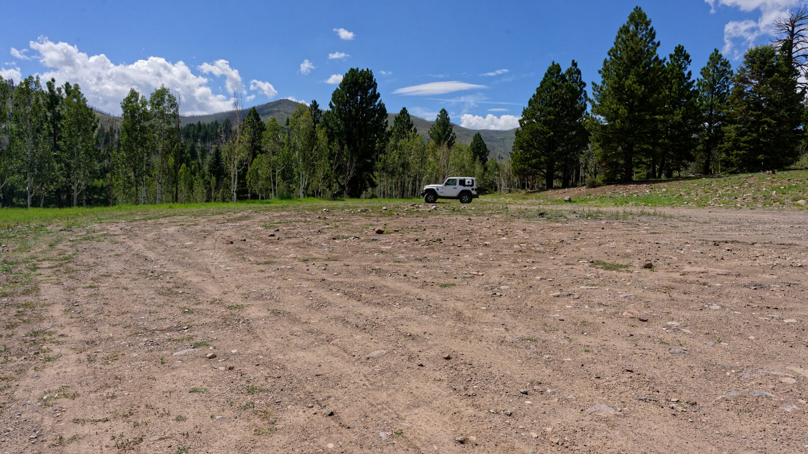
Open camping area, not private and not shady. Room for four or five rigs, trailers included. Open camping area, not private and not shady. Room for four or five rigs, trailers included.

Waypoint 2 (37.73239, -112.70027)

Open camping area, not private and not shady. Room for four or five rigs, trailers included.
Waypoint 3 Waypoint 3

Waypoint 3 (37.73838, -112.70218)

Waypoint 4

Waypoint 4 (37.73879, -112.71849)

Waypoint 5 (37.74188, -112.72057)

This spot is a level one.
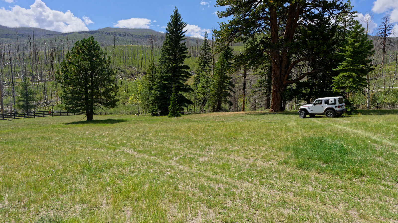
Camping spot for two or three rigs. It is shaded and not private, and near private property but not on it. Camping spot for two or three rigs. It is shaded and not private, and near private property but not on it.
Waypoint 6 (37.74322, -112.72178)

Camping spot for two or three rigs. It is shaded and not private, and near private property but not on it.

Waypoint 7

Waypoint 7 (37.74513, -112.72255)
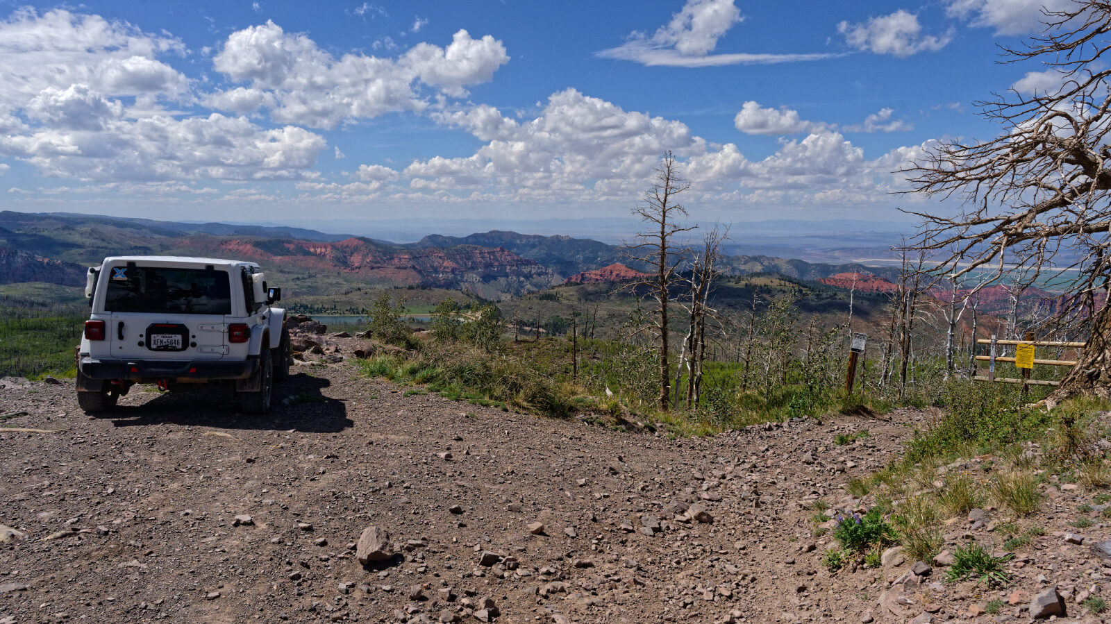
The trail ends at a 72 inch wide restricted trail with a 2,500 lb weight limit. The shale shelf road would let a heavier rig slide off. The top has views of Yankee Meadows Reservoir, Parowan Gap and the mountains in Nevada. The trail ends at a 72 inch wide restricted trail with a 2,500 lb weight limit. The shale shelf road would let a heavier rig slide off. The top has views of Yankee Meadows Reservoir, Parowan Gap and the mountains in Nevada. The trail ends at a 72 inch wide restricted trail with a 2,500 lb weight limit. The shale shelf road would let a heavier rig slide off. The top has views of Yankee Meadows Reservoir, Parowan Gap and the mountains in Nevada. The trail ends at a 72 inch wide restricted trail with a 2,500 lb weight limit. The shale shelf road would let a heavier rig slide off. The top has views of Yankee Meadows Reservoir, Parowan Gap and the mountains in Nevada. The trail ends at a 72 inch wide restricted trail with a 2,500 lb weight limit. The shale shelf road would let a heavier rig slide off. The top has views of Yankee Meadows Reservoir, Parowan Gap and the mountains in Nevada. The trail ends at a 72 inch wide restricted trail with a 2,500 lb weight limit. The shale shelf road would let a heavier rig slide off. The top has views of Yankee Meadows Reservoir, Parowan Gap and the mountains in Nevada. The trail ends at a 72 inch wide restricted trail with a 2,500 lb weight limit. The shale shelf road would let a heavier rig slide off. The top has views of Yankee Meadows Reservoir, Parowan Gap and the mountains in Nevada. The trail ends at a 72 inch wide restricted trail with a 2,500 lb weight limit. The shale shelf road would let a heavier rig slide off. The top has views of Yankee Meadows Reservoir, Parowan Gap and the mountains in Nevada. The trail ends at a 72 inch wide restricted trail with a 2,500 lb weight limit. The shale shelf road would let a heavier rig slide off. The top has views of Yankee Meadows Reservoir, Parowan Gap and the mountains in Nevada.

Waypoint 8 (37.74832, -112.74465)

The trail ends at a 72 inch wide restricted trail with a 2,500 lb weight limit. The shale shelf road would let a heavier rig slide off. The top has views of Yankee Meadows Reservoir, Parowan Gap and the mountains in Nevada.