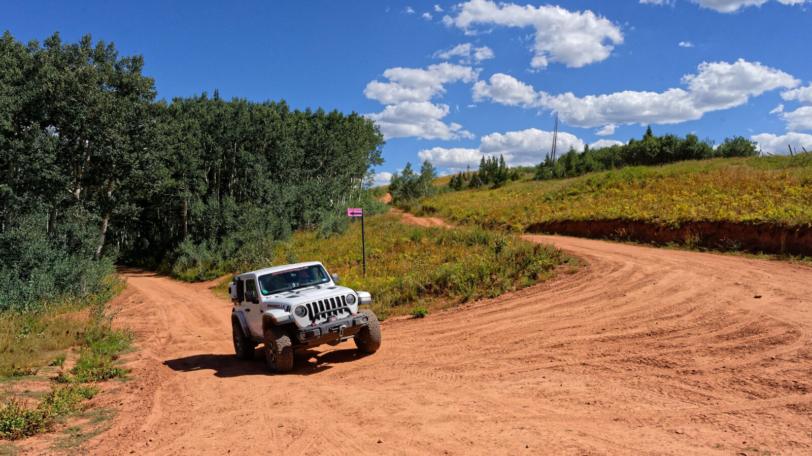
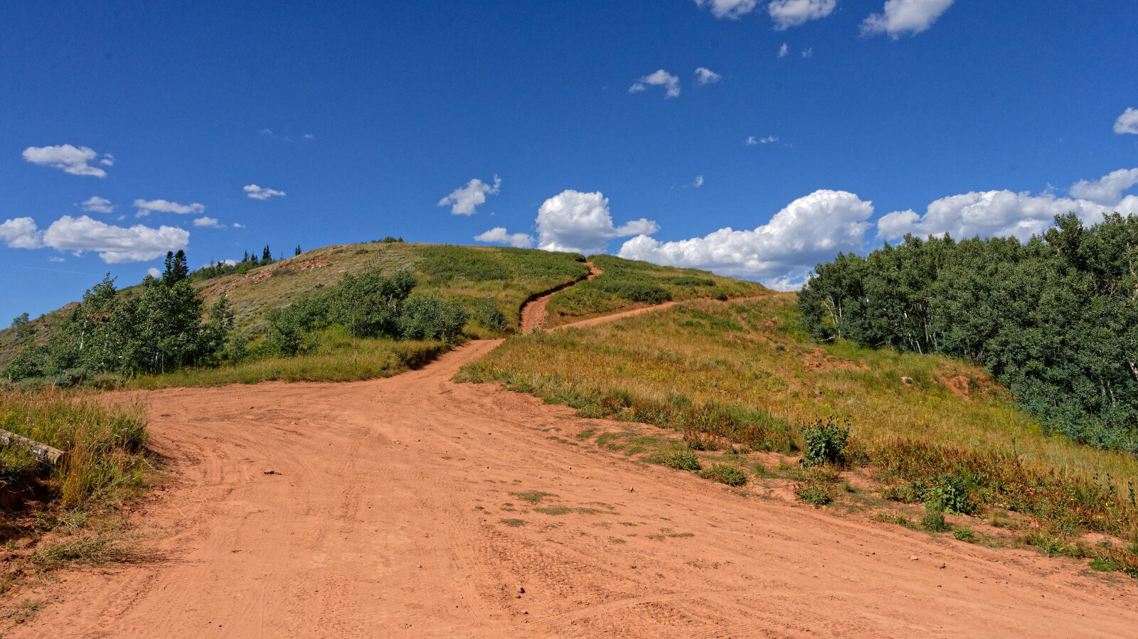
Clyde Creek - Level 2
Clyde Creek is a forest road in the Wasatch Mountains of north-central Utah, east of Utah Valley. It climbs through aspen and conifer country and runs along drainages above the Strawberry area, with open views across the high plateau.
The route suits a relaxed day of driving and is a good way to reach dispersed camping, wildlife viewing and quiet backcountry in the Uinta-Wasatch-Cache National Forest.
Trail Summary
- LocationWasatch County, Utah
- Distance5.6 miles
- DifficultyLevel 2
- Elevation7,635 ft to 9,203 ft with a 1,568 ft change
- Travel Time31 minutes
Difficulty
Typically suitable for high clearance 2WD
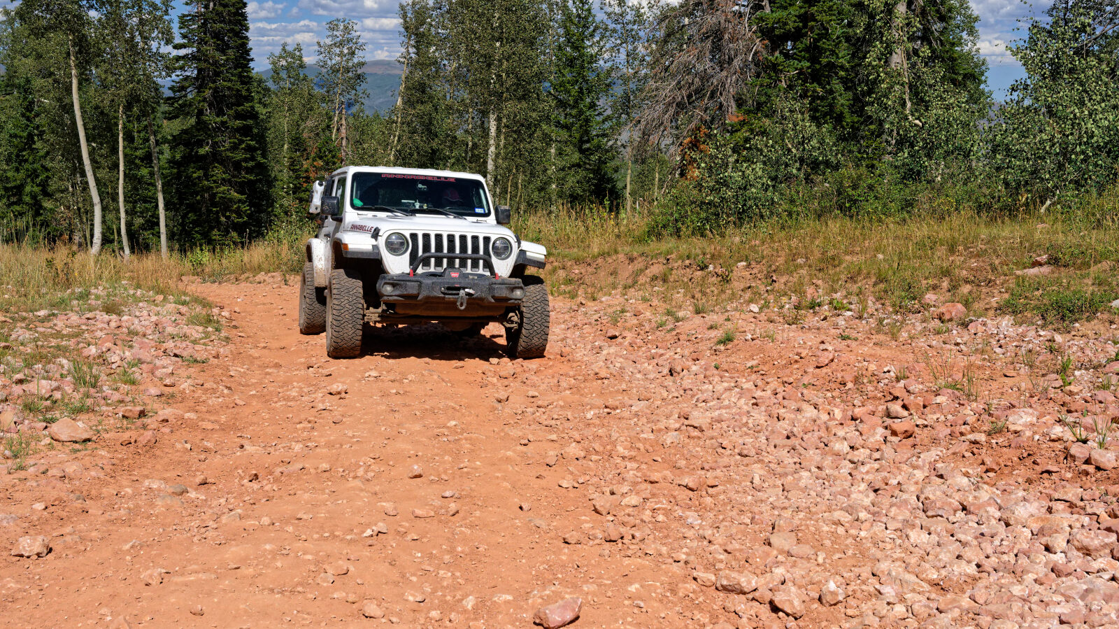
This trail is rated Easy (level 2), typically suitable for high clearance 2WD. Stock equipment is sufficient, but the surface will likely test tire traction and ground clearance. Expect dirt and rocky sections with rocks, dips or ruts under 9 inches. Some shallow water crossings and small ledges under 12 inches are possible. The road is typically unmaintained after rain or snow and is generally one to two vehicles wide. The driver's log did not call out any specific obstacles.
Map
The interactive map needs JavaScript. Every waypoint is also listed below.
Waypoints
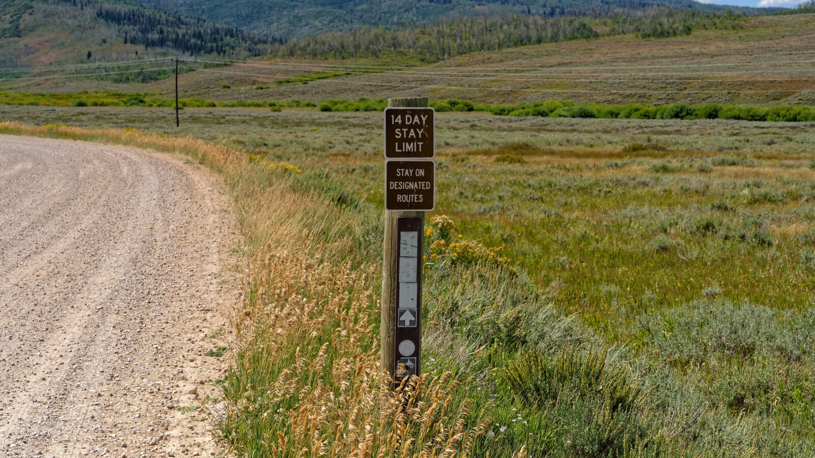
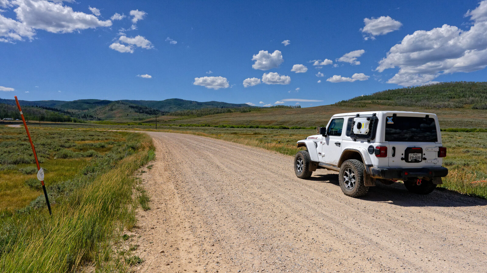
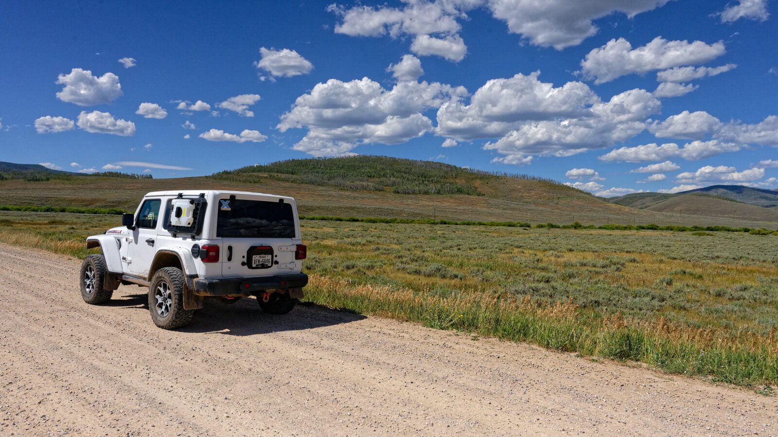
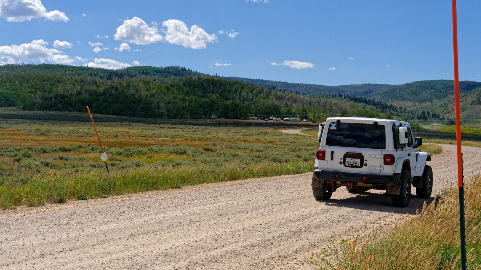
Waypoint 1 (40.22822, -111.19114)
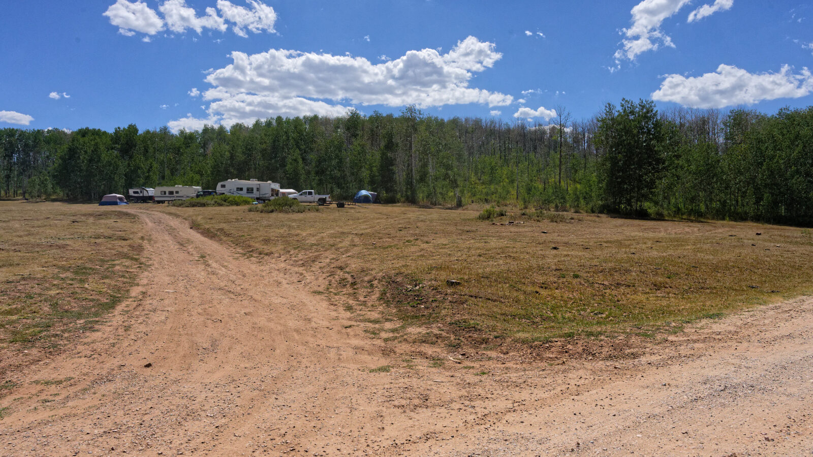
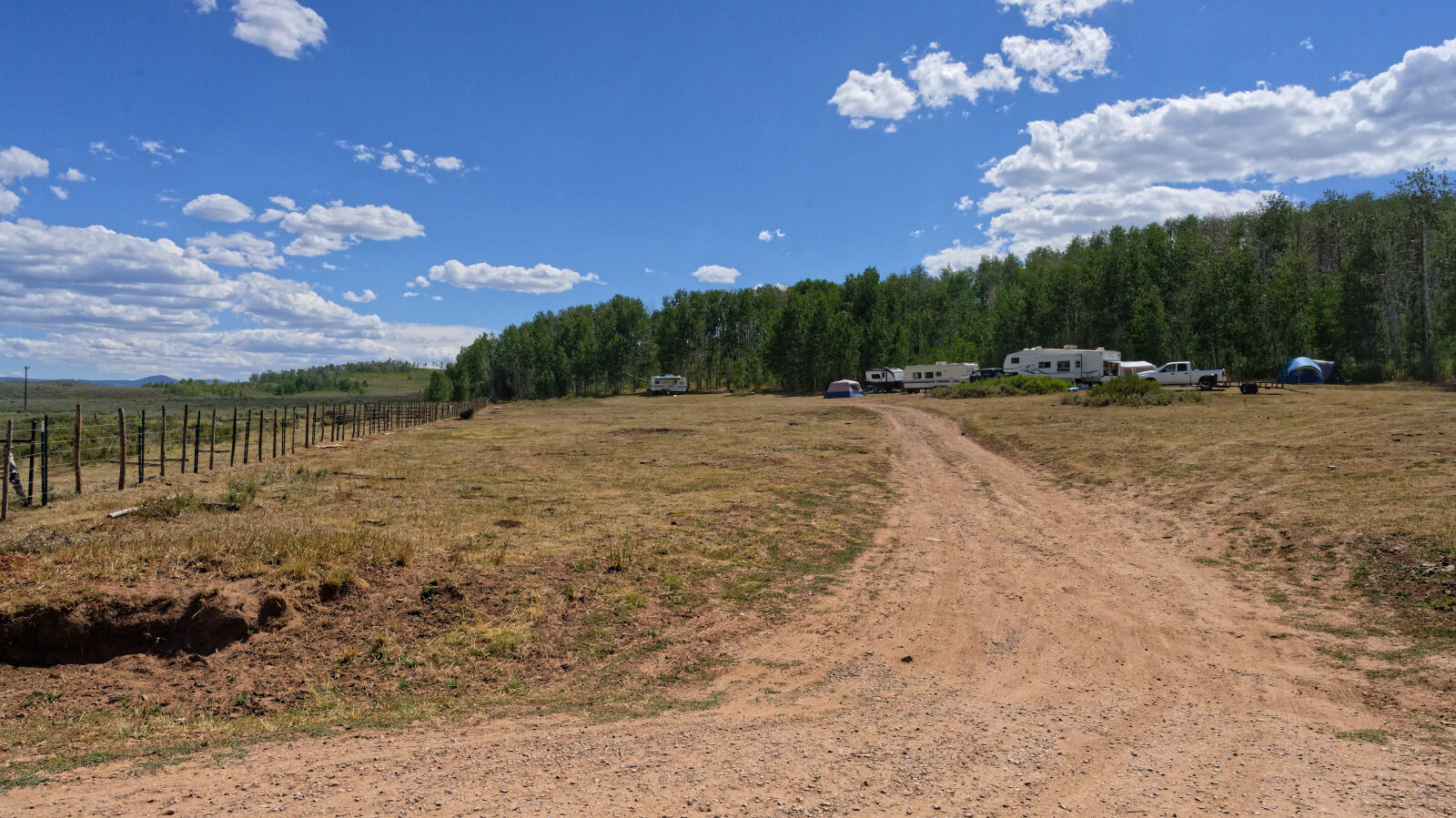
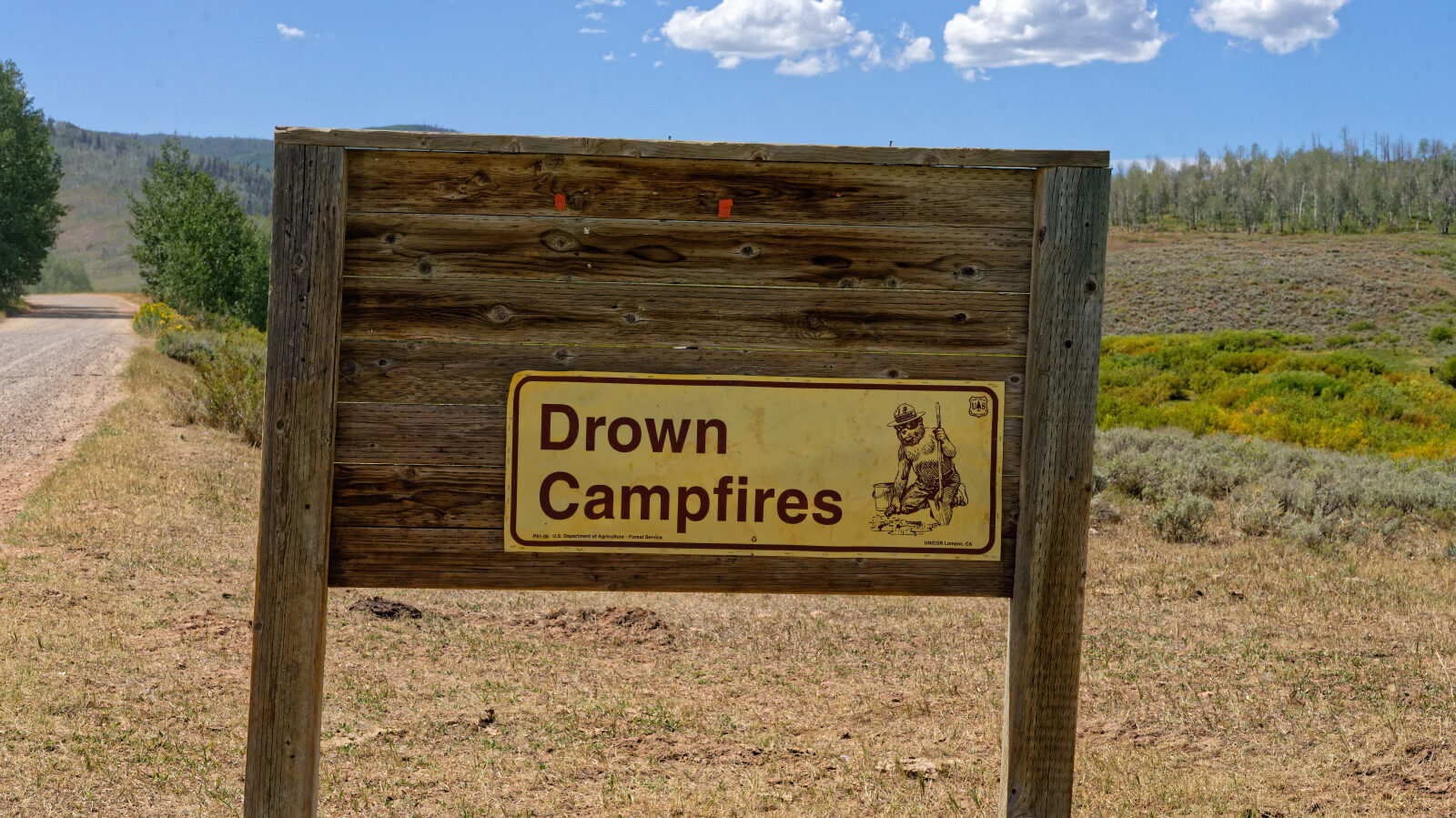
Waypoint 2 (40.22768, -111.19857)
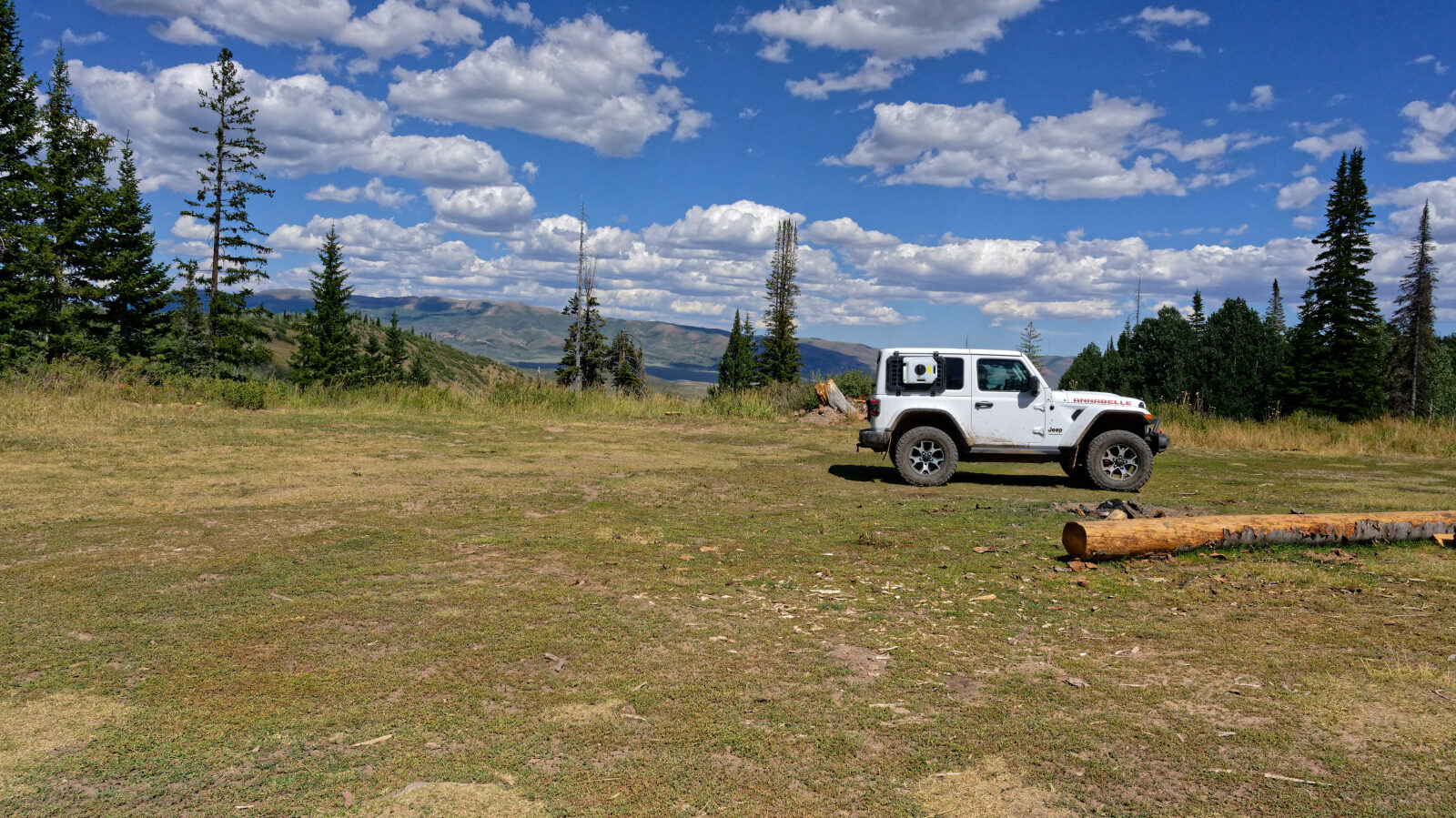
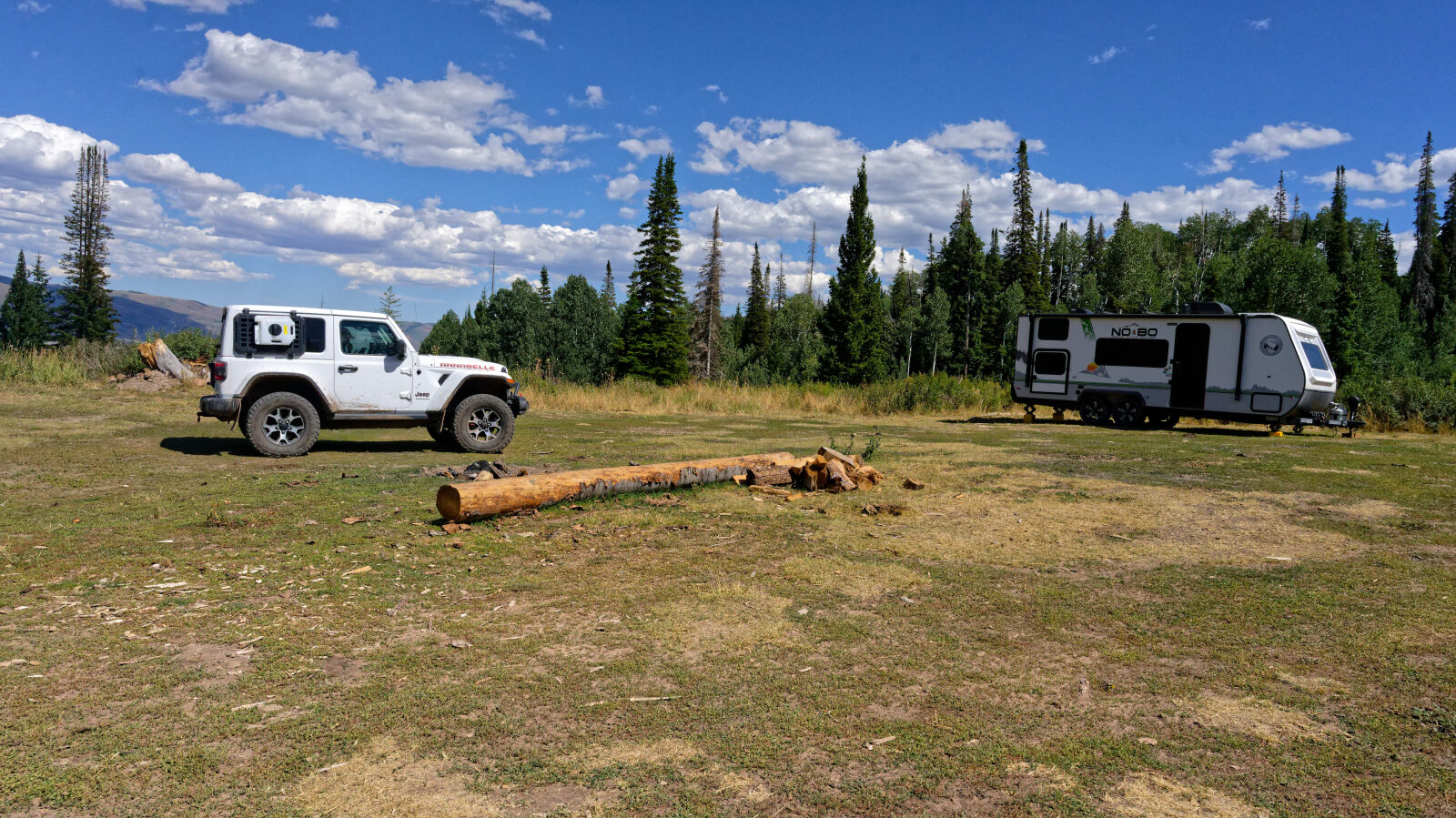
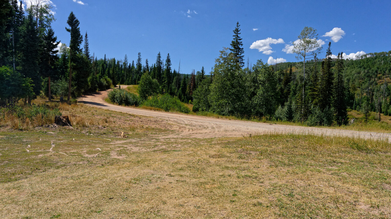
Waypoint 3 (40.22205, -111.24197)
Waypoint 4 (40.21856, -111.25763)