Cooper Peak - Level 1
Cooper Peak is a forest road in Dixie National Forest, Garfield County, southern Utah, that runs through open timber on the high plateau country east of Panguitch. The route passes a string of dispersed camping areas, some in the trees and some more open.
It is a quiet drive that suits a short outing or a base for a weekend camp.
Trail Summary
- LocationGarfield County, Utah
- Distance4.5 miles
- DifficultyLevel 1
- Elevation8,093 ft to 8,457 ft with a 364 ft change
- Travel Time29 minutes
Difficulty
Suitable for high clearance 2WD
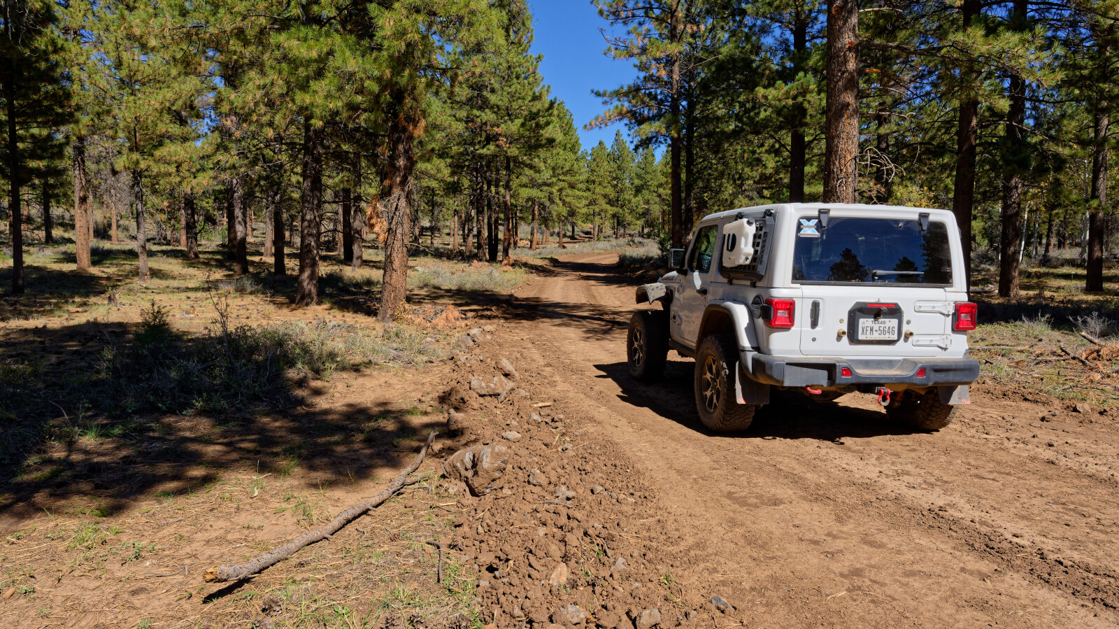
This trail is rated level 1, Easy. Stock equipment is enough, and high clearance 2WD vehicles can drive it. Expect dirt and rocky road with obstacles under 5 inches, such as rocks, dips or ruts, and gentle grades with good traction. The road is typically two vehicles wide. The log calls out no obstacles or sections needing special attention.
Terrain
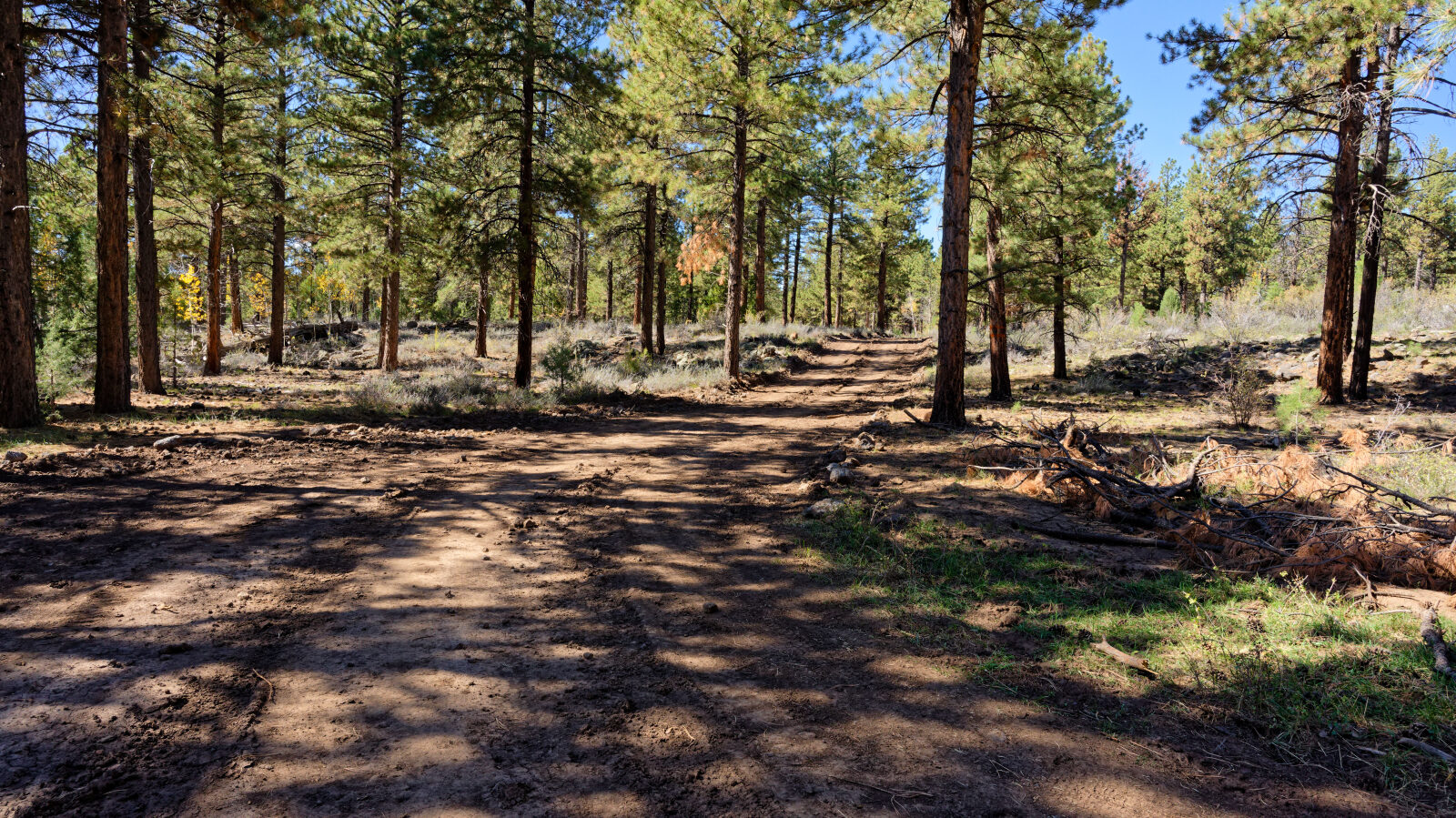
The route follows a dirt road through pine and aspen.
Highlights
Camping is the main draw. The log notes several dispersed sites along the route. Some are shaded under trees with a bit of privacy and room for several rigs. Others are open with no shade or privacy and are not suited to tents. One spot is noted as level.
Map
The interactive map needs JavaScript. Every waypoint is also listed below.
Waypoints
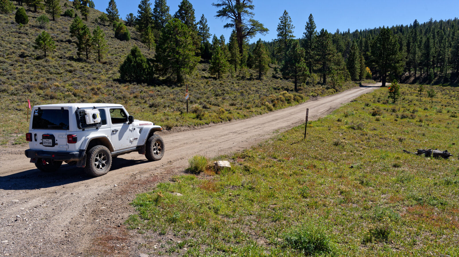
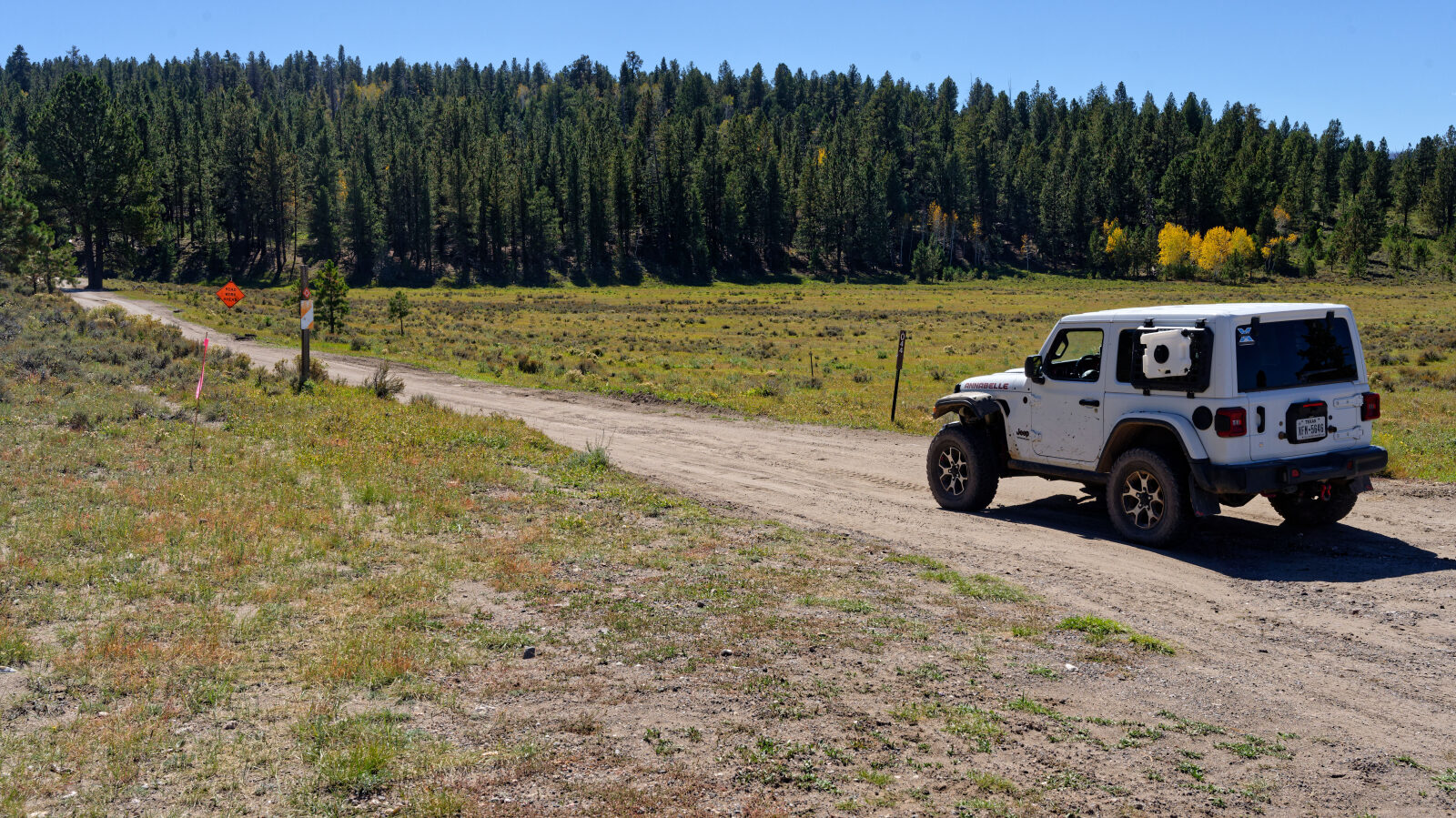
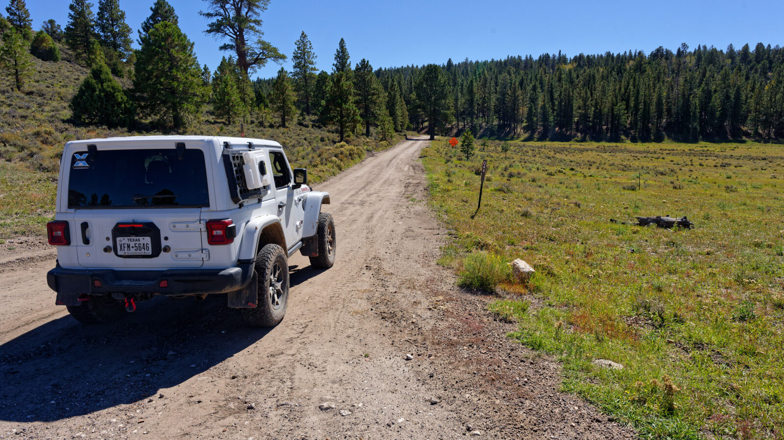
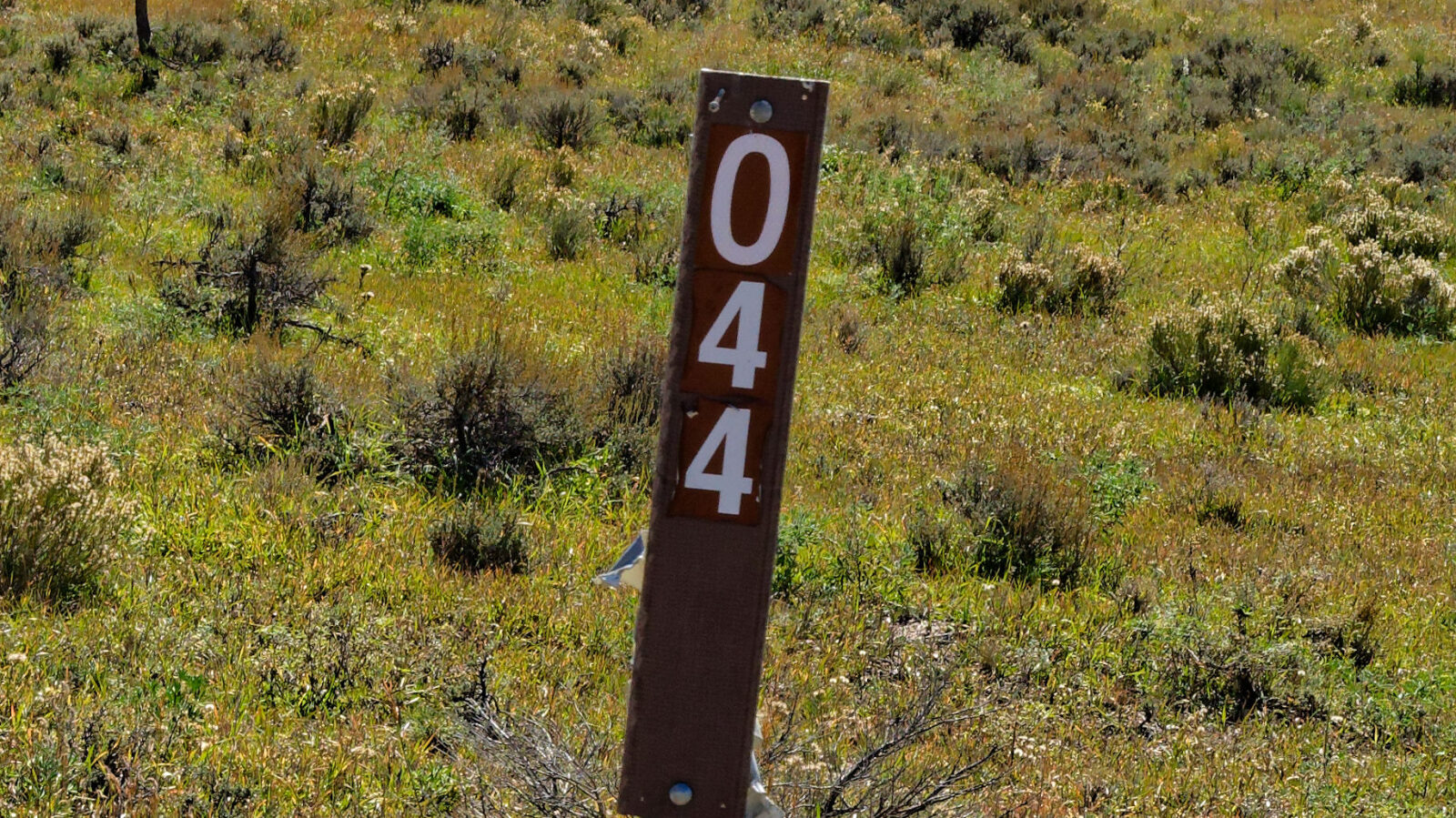
Waypoint 1 (37.70767, -112.62792)
Start of the Cooper Peak trail, number 30044.
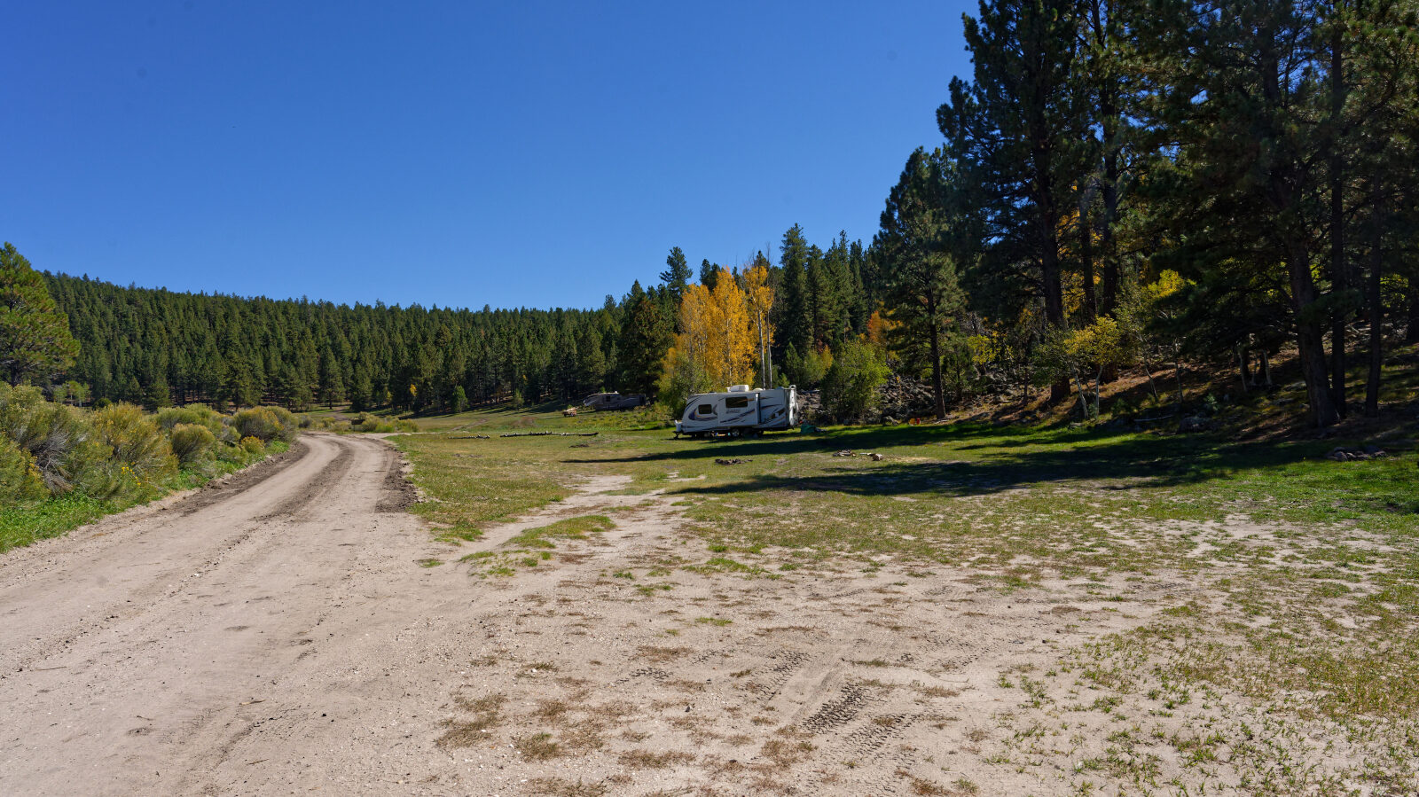
Waypoint 2 (37.70496, -112.62687)
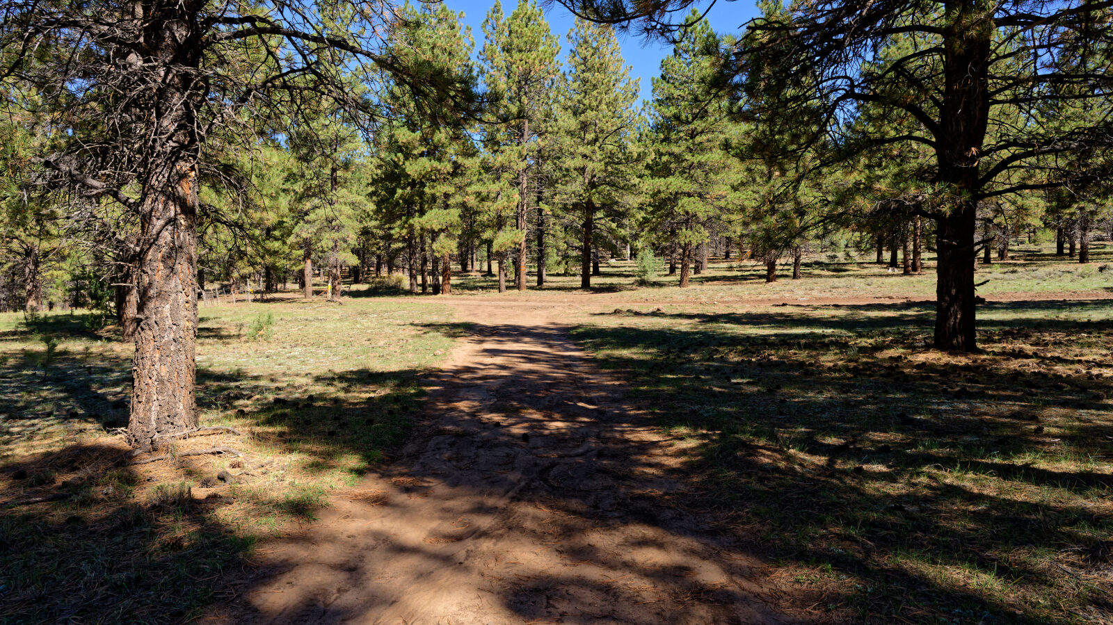
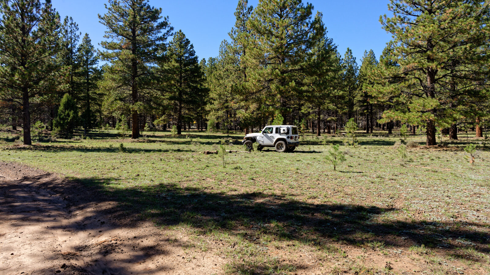
Camping area with room for five or six rigs. Some shade but no privacy.
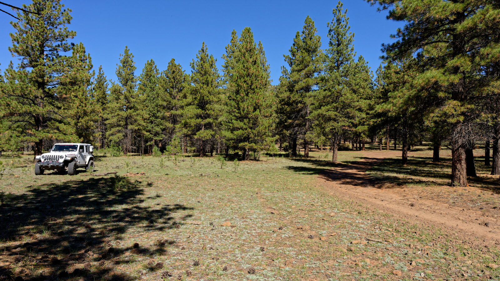
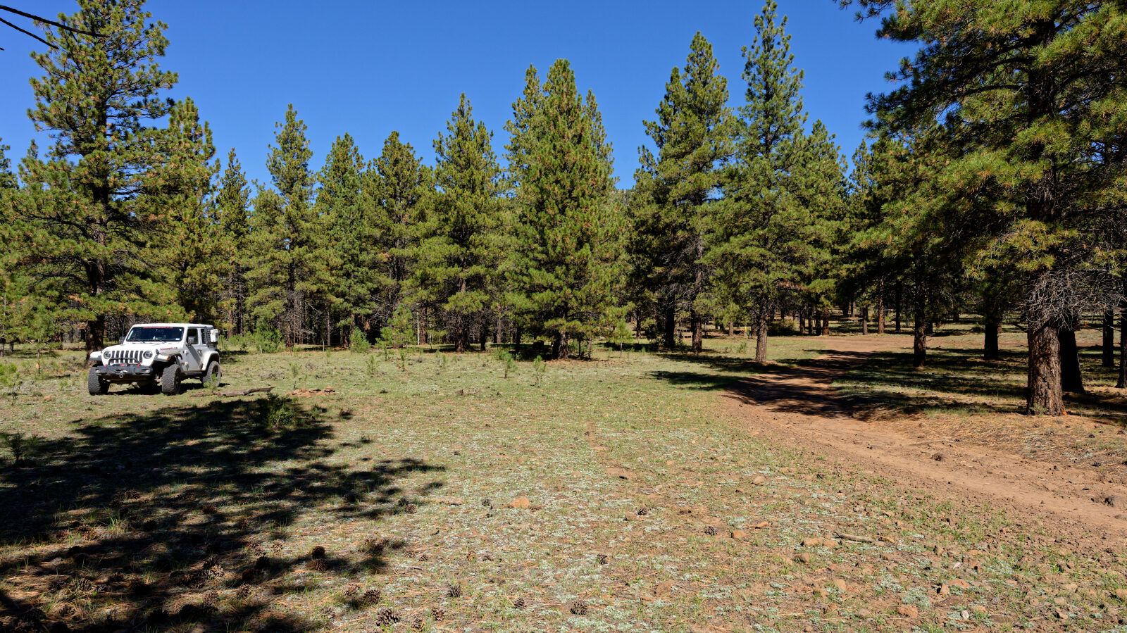
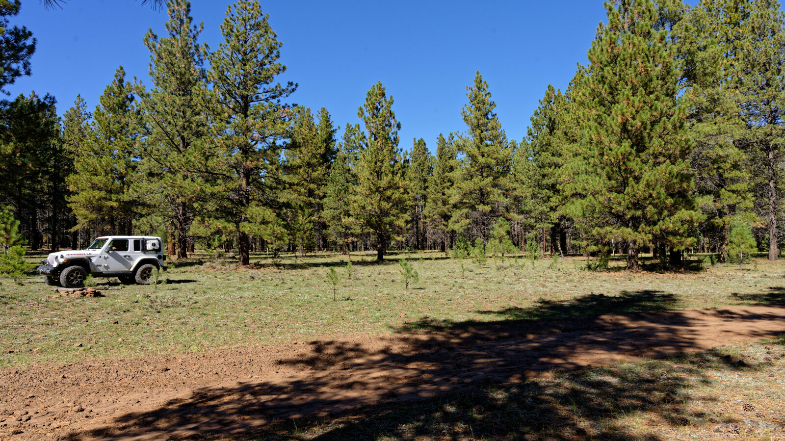
Waypoint 3 (37.70015, -112.62312)
Shaded camping in the trees with a little privacy. Room for about six rigs.

Waypoint 4 (37.69340, -112.62307)
Level spot.
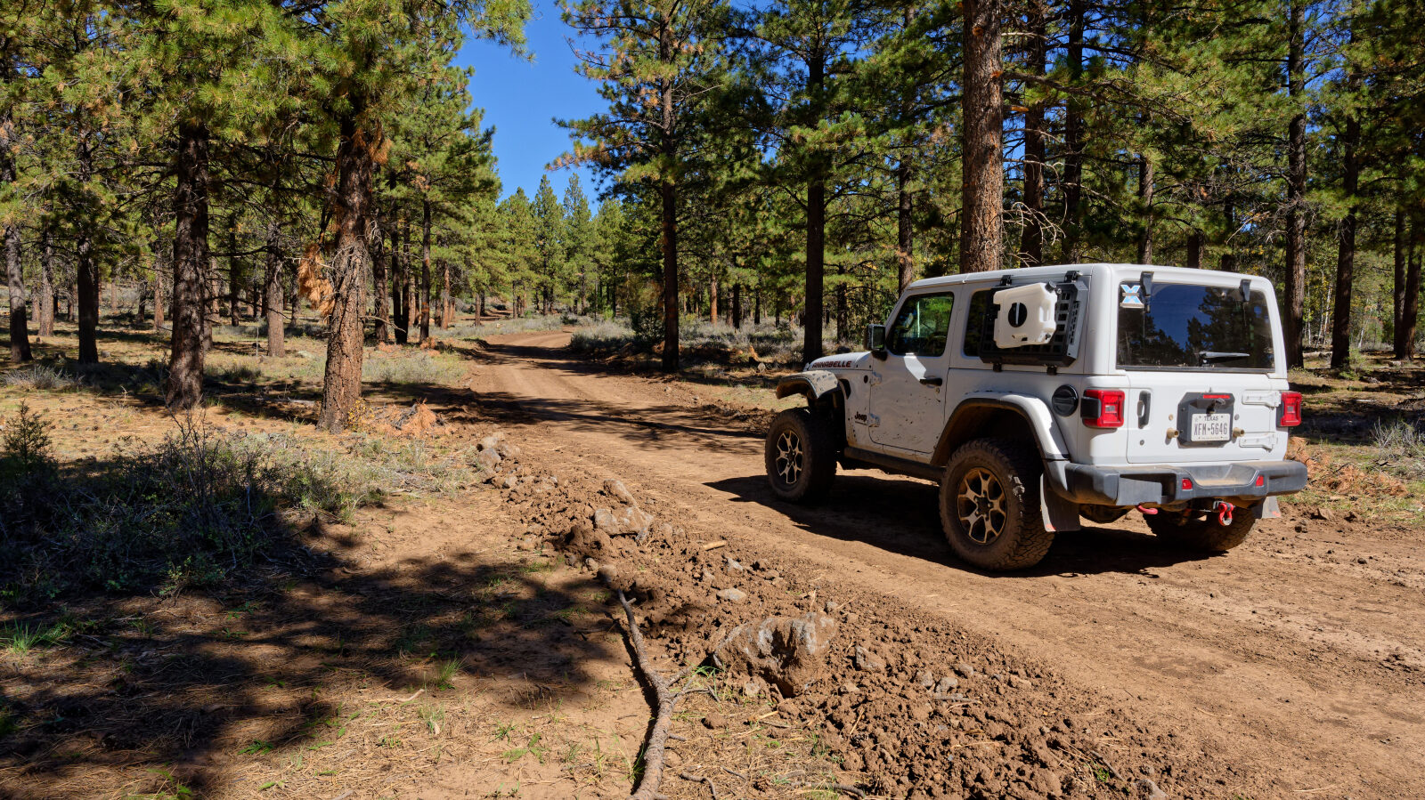
Waypoint 5 (37.69176, -112.61950)
Waypoint 6 (37.69938, -112.59694)
Open camping with no shade or privacy. Not suited to tents.
Waypoint 7 (37.70915, -112.59495)
Shaded camping under the trees with good privacy. Room for three or four rigs.
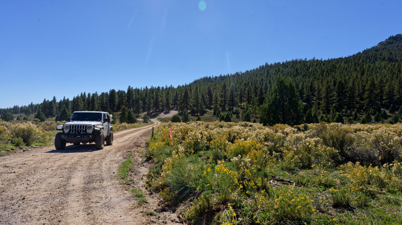
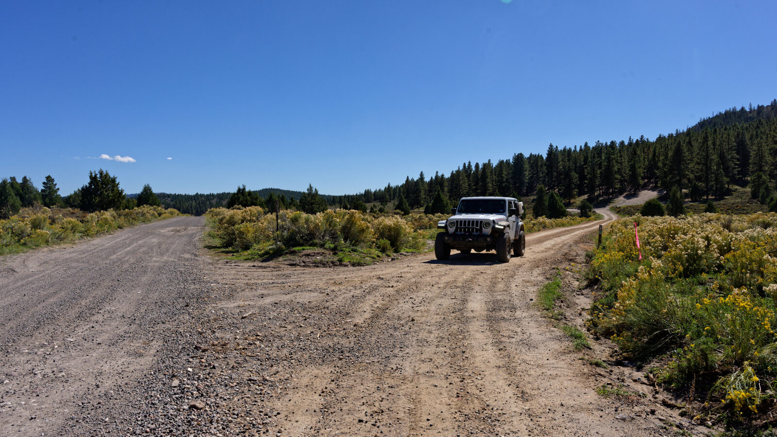
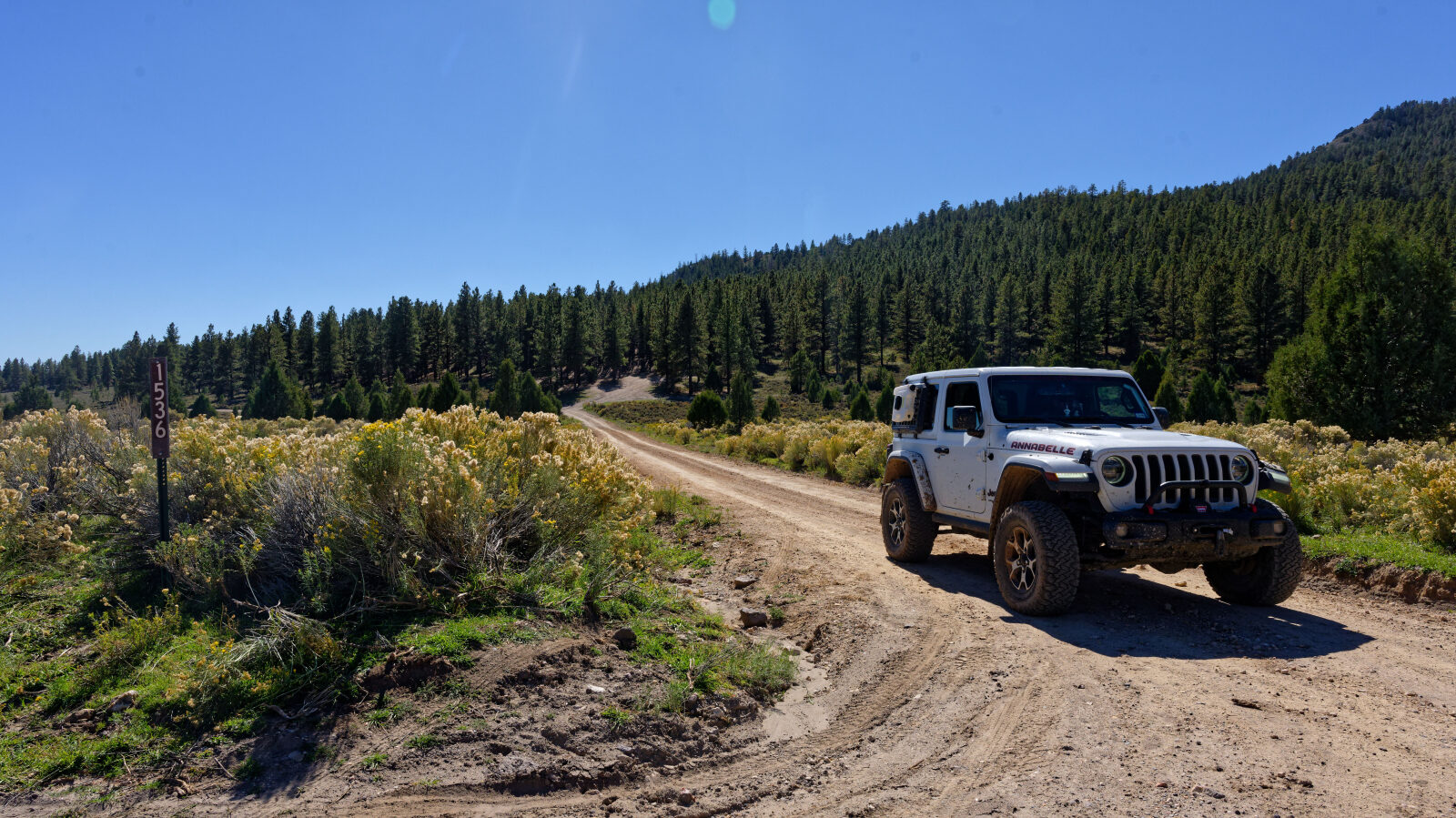
Waypoint 8 (37.71326, -112.59568)
End of the trail.