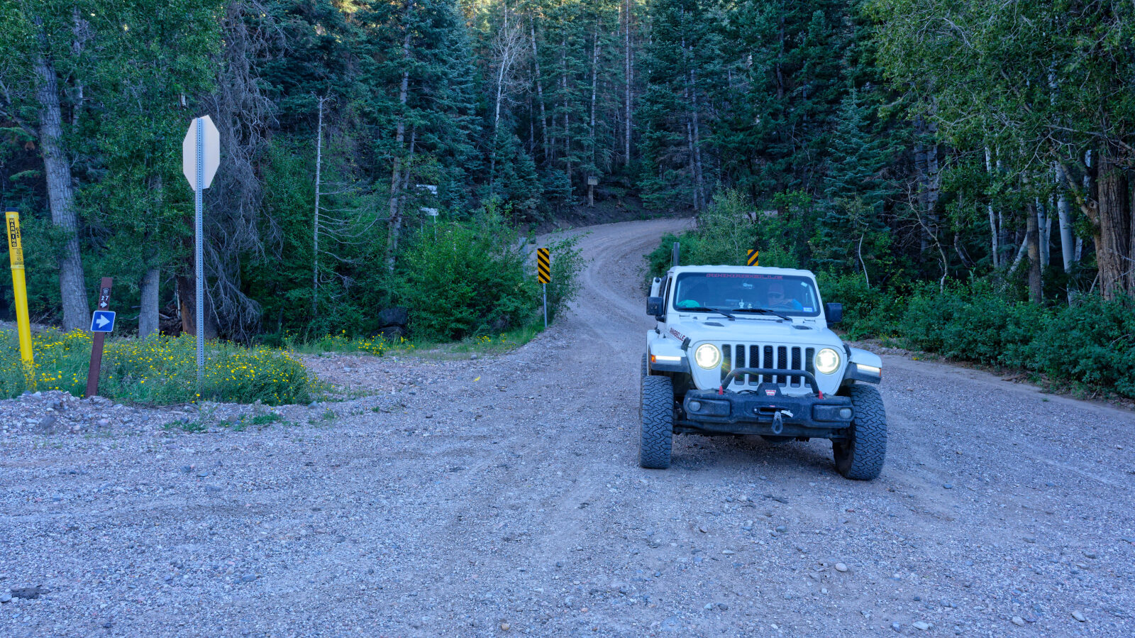
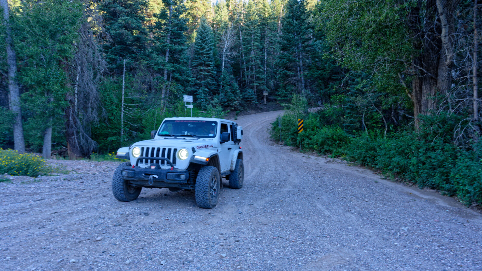
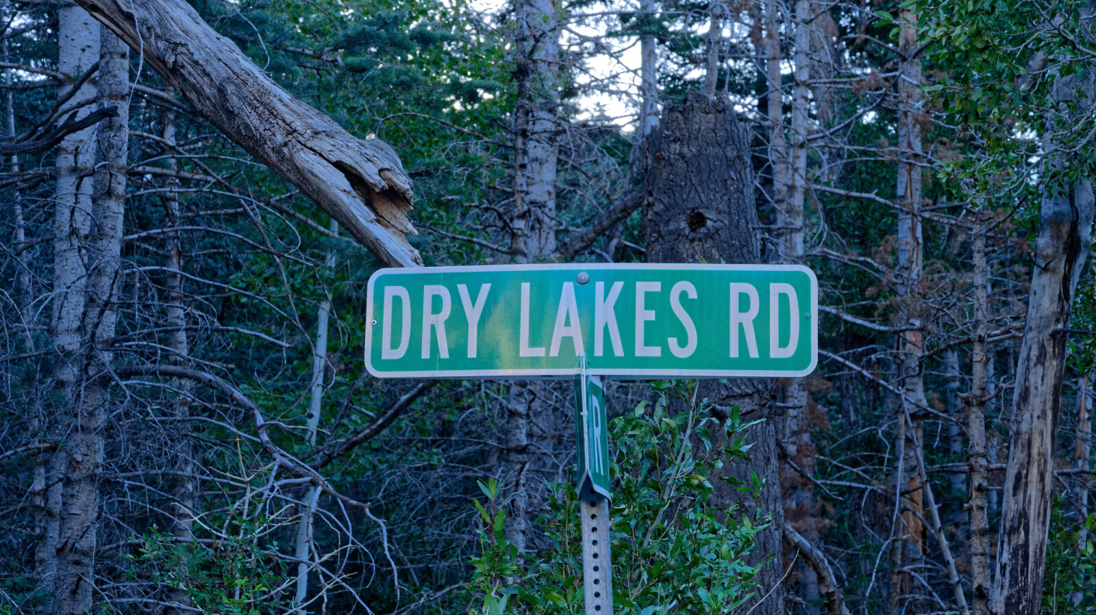
Dry Lakes Road - Level 1
Dry Lakes Road climbs the slopes near Sugar Loaf Mountain in Iron County, in southwestern Utah. It starts on Dixie National Forest and Iron County land and then runs mostly across private property on its way up toward the Dry Lakes area.
The road is a quiet backcountry drive with views over the surrounding high country. Travelers should treat the private stretches with respect and keep to the existing road. Public access is open all year and there are no gates.
Trail Summary
- LocationIron County, Utah
- Distance6.0 miles
- DifficultyLevel 1
- Elevation7,625 ft to 9,687 ft with a 2,062 ft change
- Travel Time25 minutes
Difficulty
Suitable for high clearance 2WD
This trail is rated Level 1, which is Easy. Stock equipment is sufficient and no special gear is needed. Expect a dirt or rocky road with obstacles smaller than 5 inches, such as rocks, dips or ruts, and slight grades with good traction. It is safe for most 4WD and high-clearance 2WD vehicles, and the road is typically two vehicles wide. The log calls out no obstacles. Only a short part of the road is on Forest Service land, and the rest crosses private property, so stay on the road. There is no designated camping spot.
Terrain
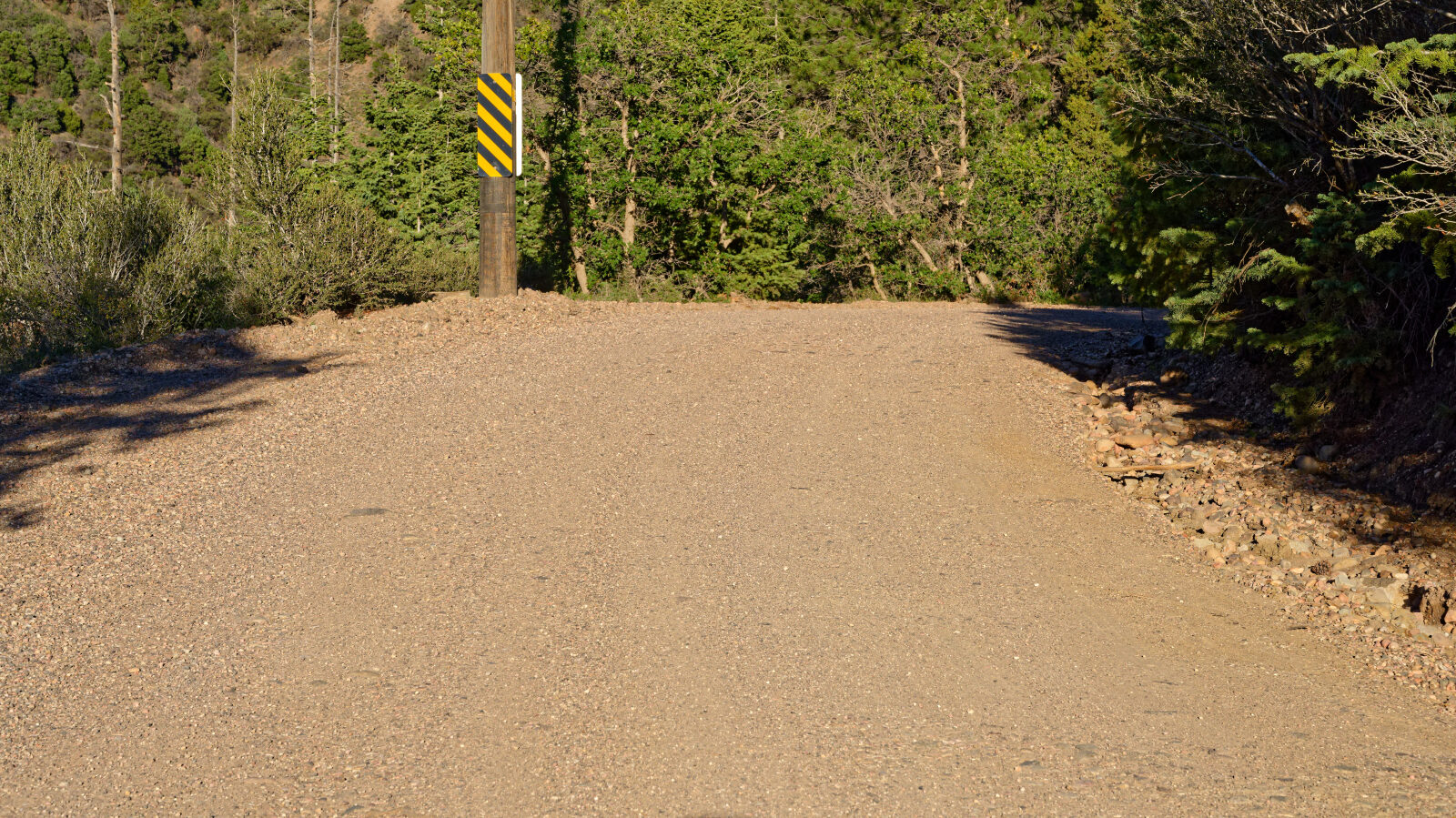
The road surface is gravel.
Map
The interactive map needs JavaScript. Every waypoint is also listed below.
Waypoints
Waypoint 1 (37.69497, -112.87841)
Start of Dry Lakes Road, Sugar Loaf Mountain 30265.
Waypoint 2 (37.69948, -112.87329)
Only a short stretch of the road is on Forest Service land, and there is no designated camping. The rest is private property, so follow the road and stay on it.
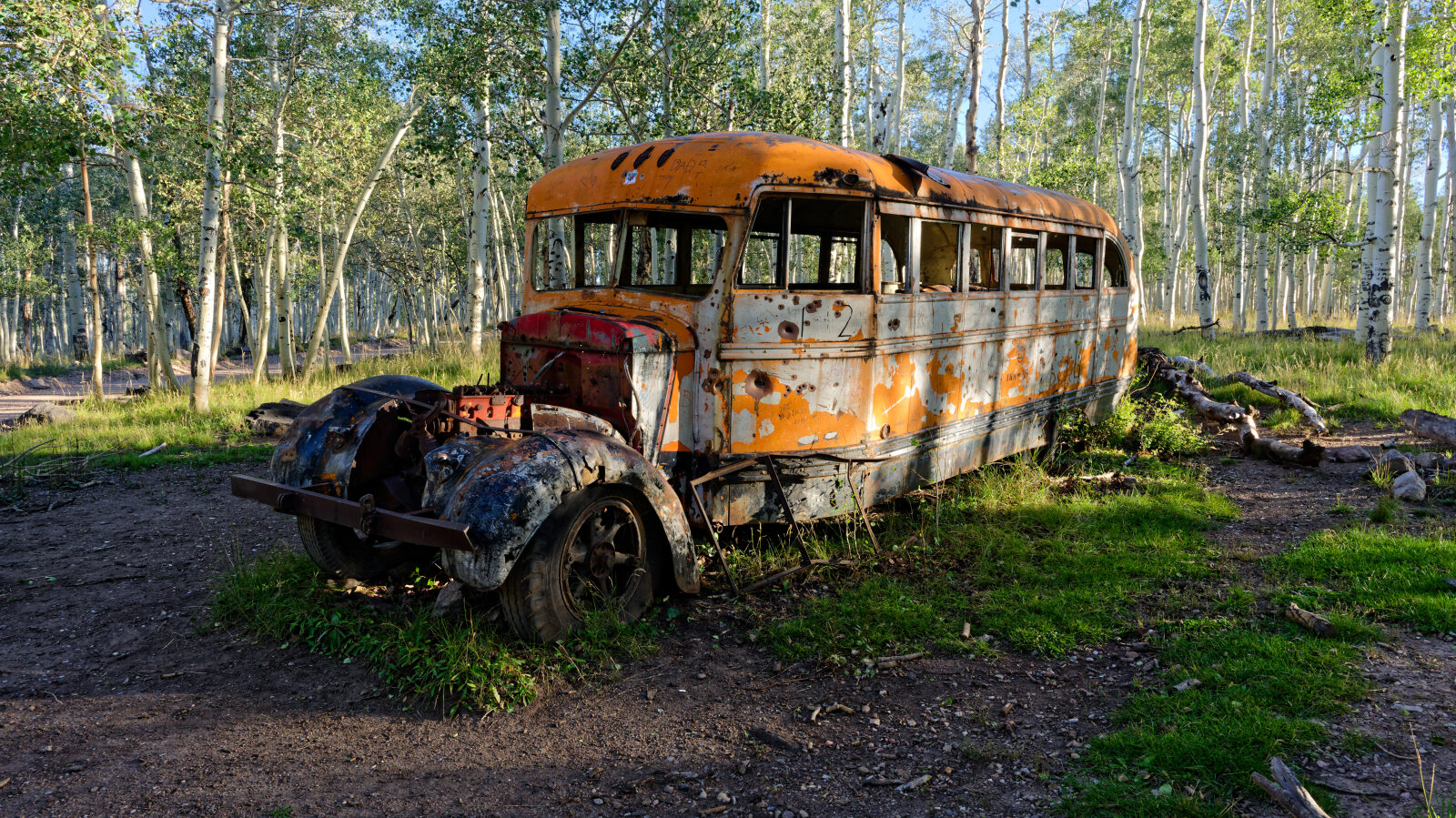
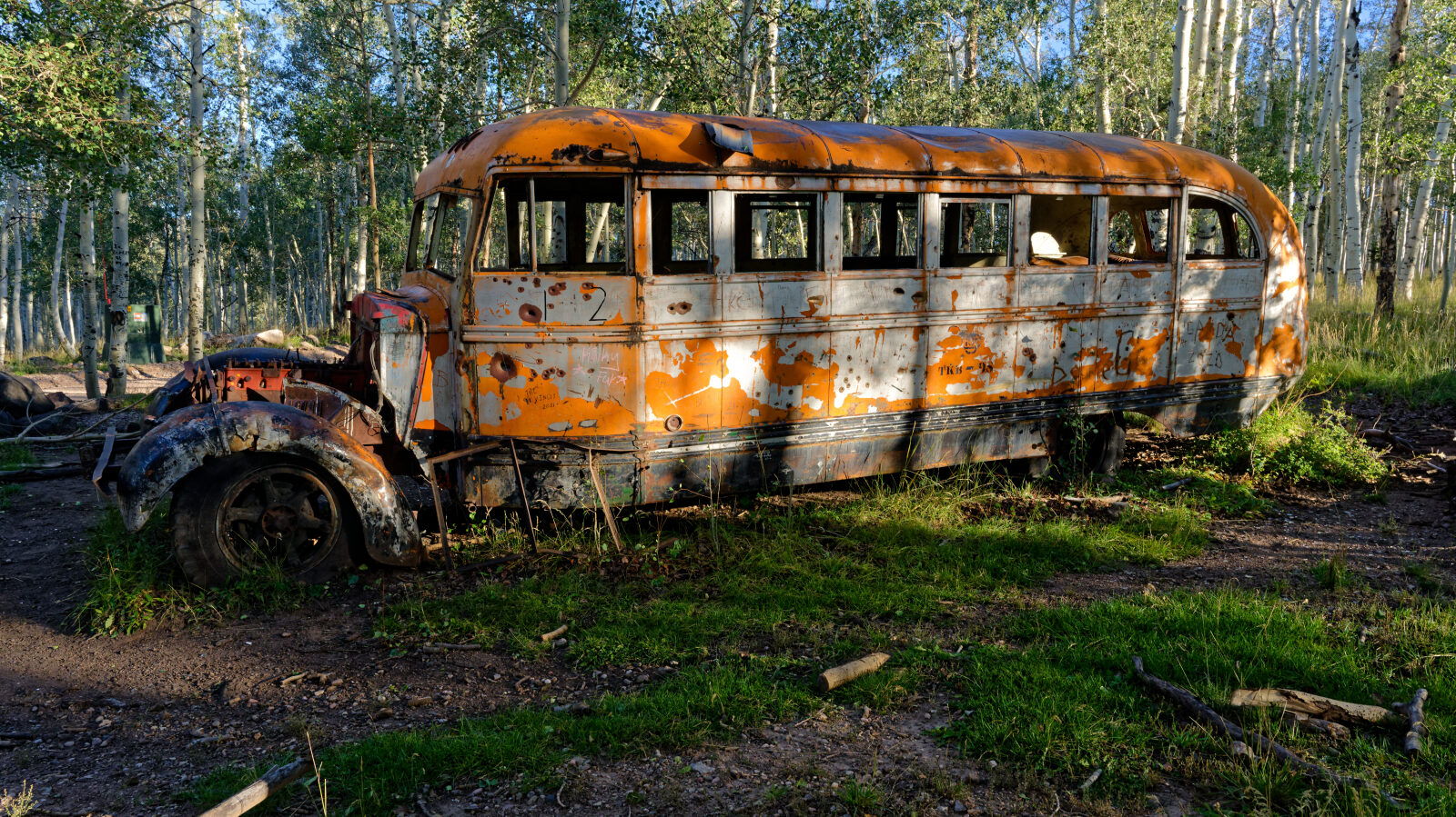
Waypoint 3 (37.71532, -112.86955)
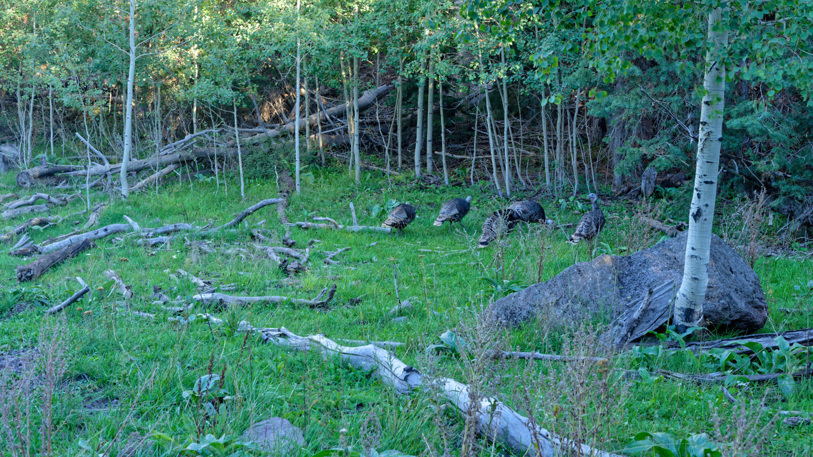
Waypoint 4 (37.73820, -112.86215)
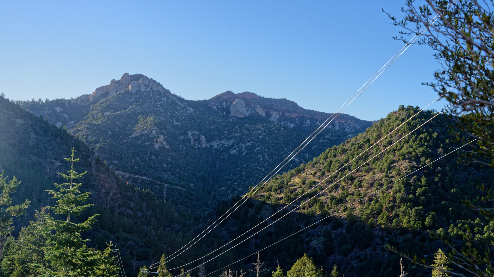
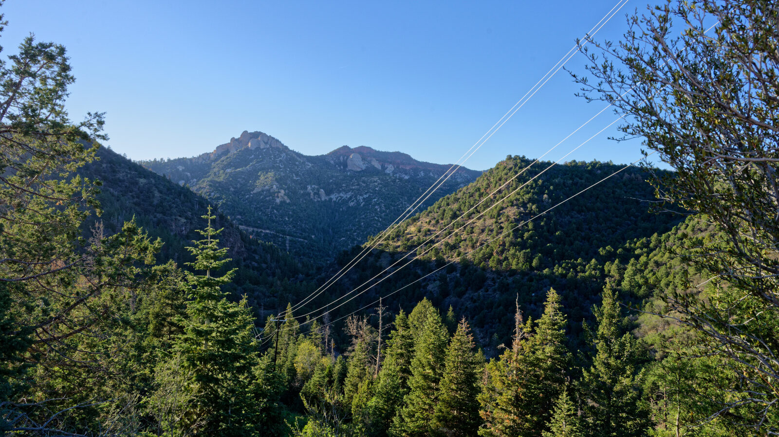
Waypoint 5 (37.75558, -112.84350)