E Of Cove Mtn Rd - Level 3
This short county road climbs through high country in Sevier County, Utah, east of Cove Mountain Road. It is a quick backcountry drive on a numbered county route, with a rougher section near the start.
It works as a brief side trip or as a link to other roads in the area.
Trail Summary
- LocationSevier County, Utah
- Distance1.5 miles
- DifficultyLevel 3
- Elevation7,611 ft to 7,976 ft with a 365 ft change
- Travel Time20 minutes
Difficulty
Best suited for a high clearance 4x4
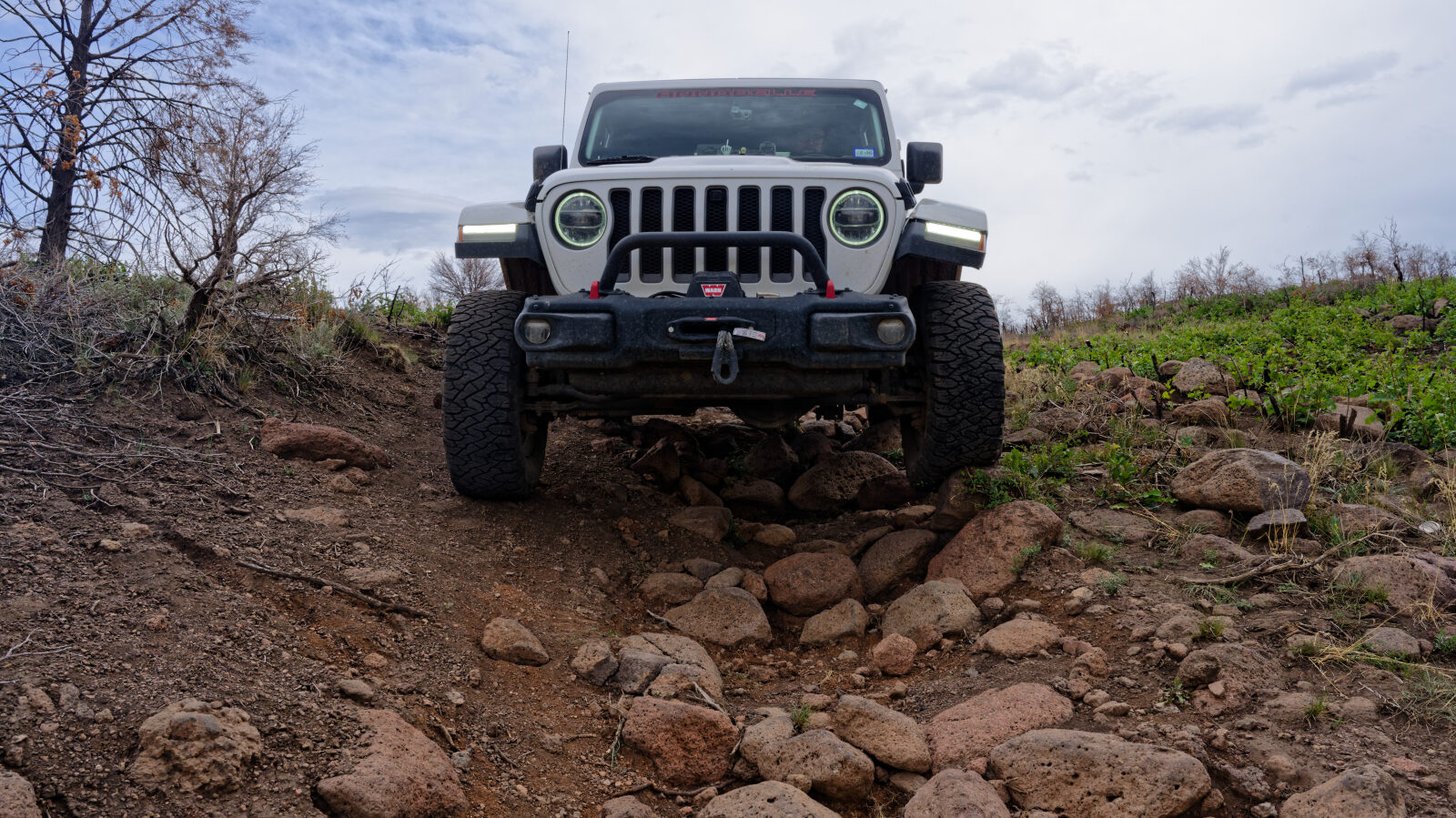
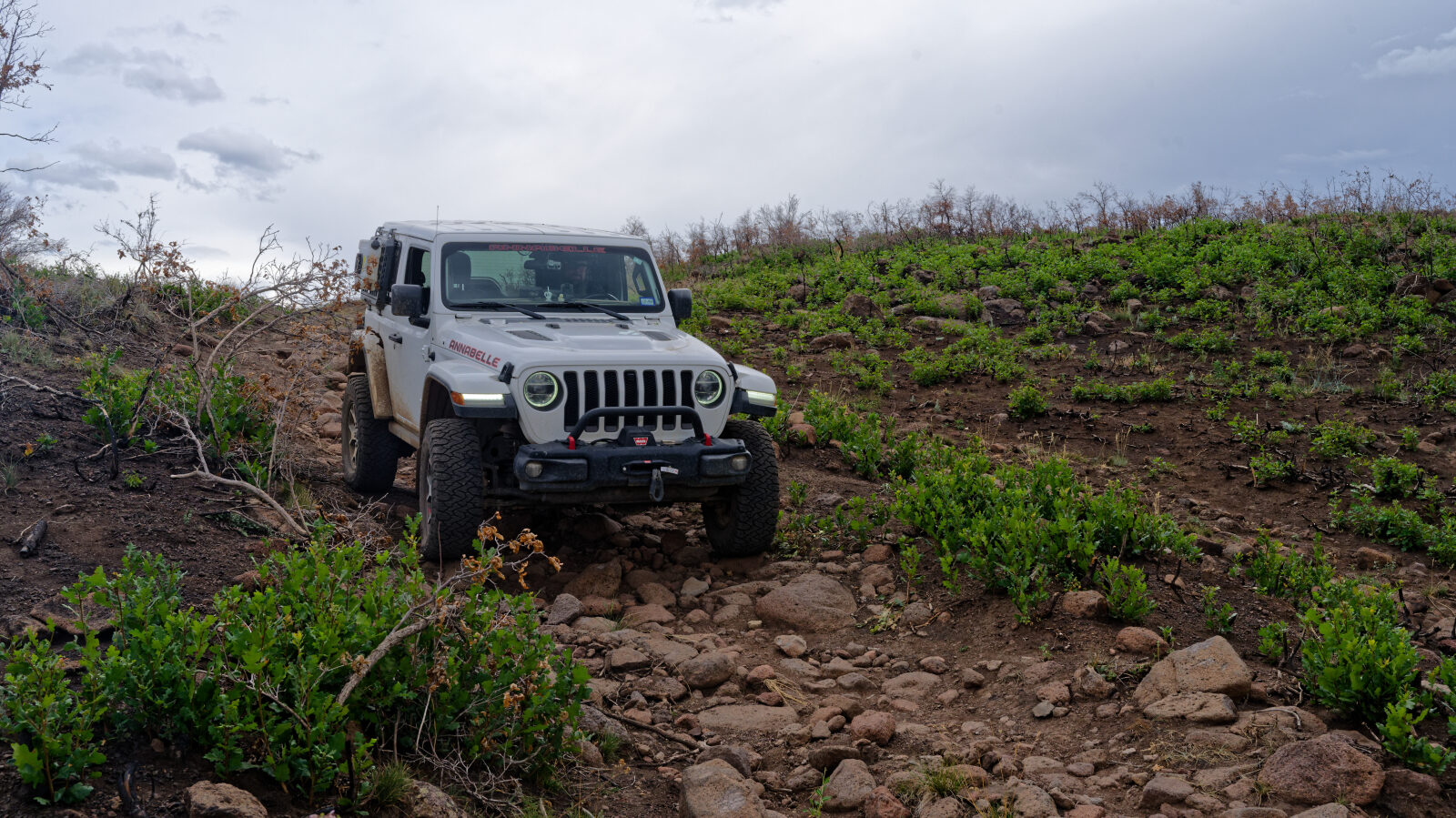
Level 3 is best suited to a high clearance 4x4. Expect more rock and an uneven road surface, with possible ledges, drops, climbs or water crossings under 12 inches. Careful tire placement may be needed, and the road can be steep or loose. The driver calls out one rocky stretch of about three hundred yards as the hardest part of the trail. The driver rates it a three and expects it to stay there.
Terrain
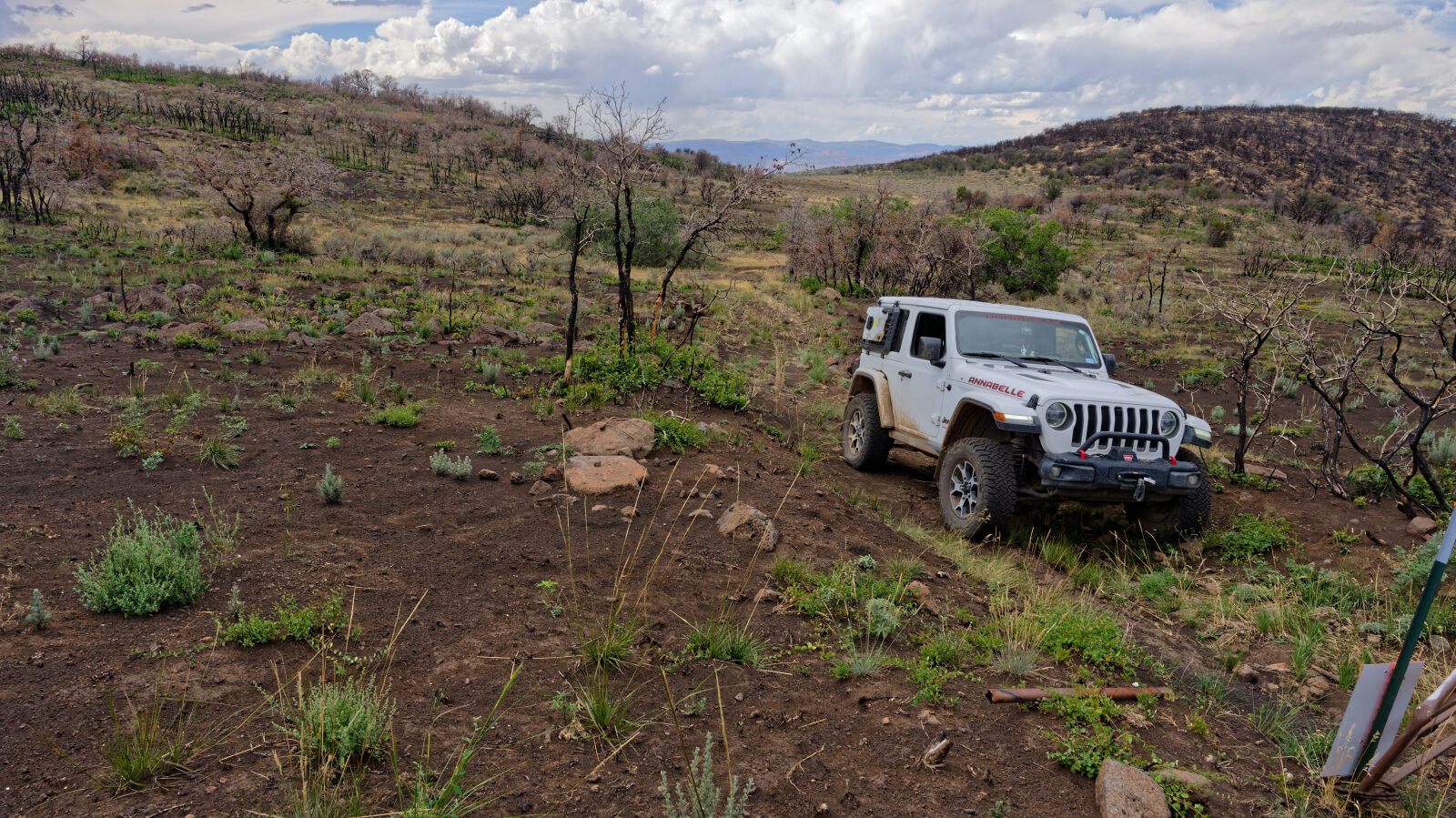
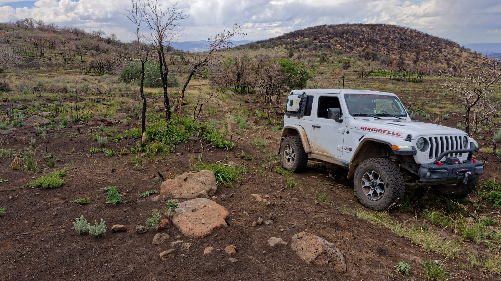
The road is a rocky, uneven county route in Fishlake National Forest. The rockiest section is a short stretch near the beginning. The rest of the route is a one-vehicle-wide track in higher elevation country.
Highlights
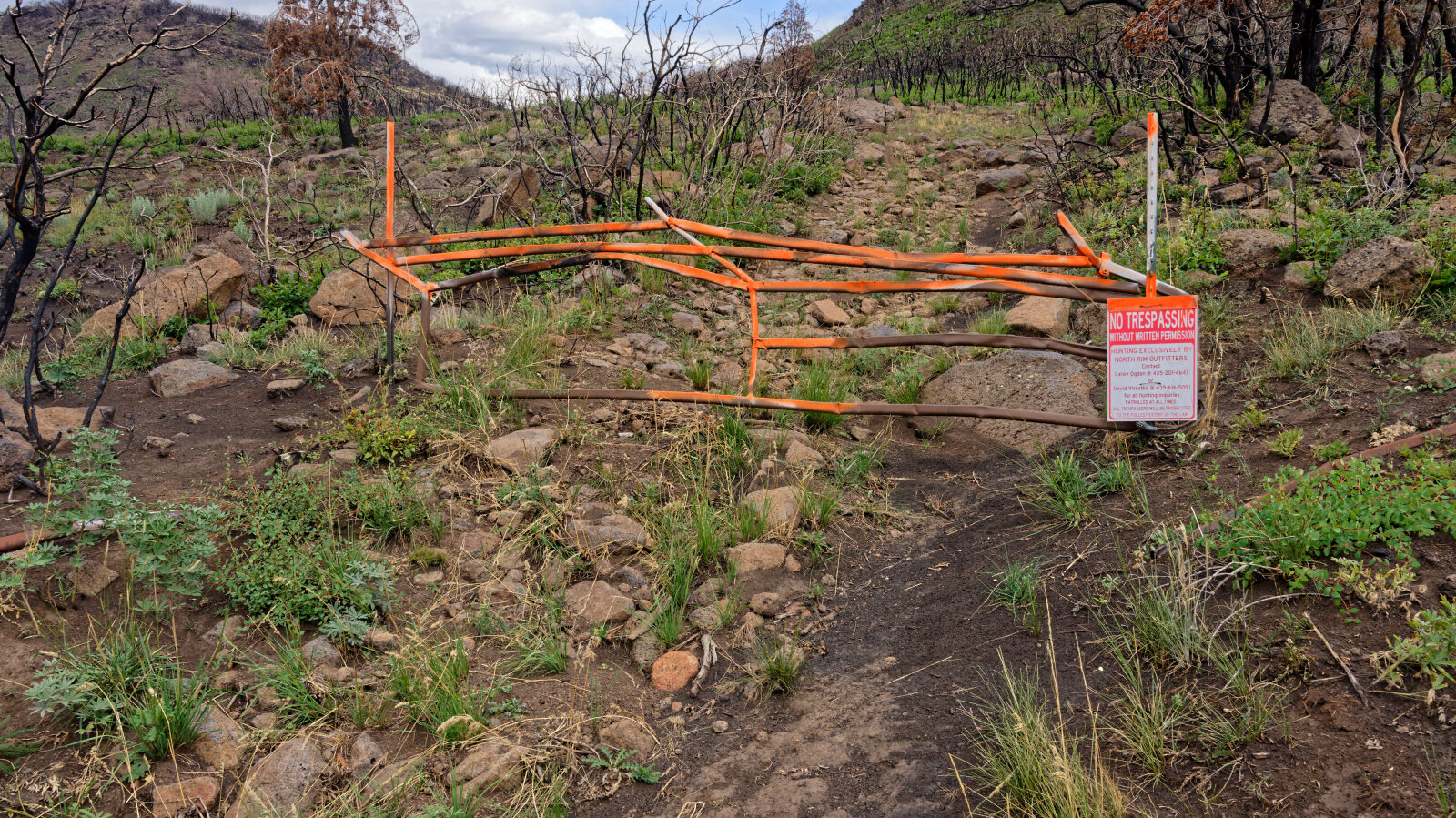
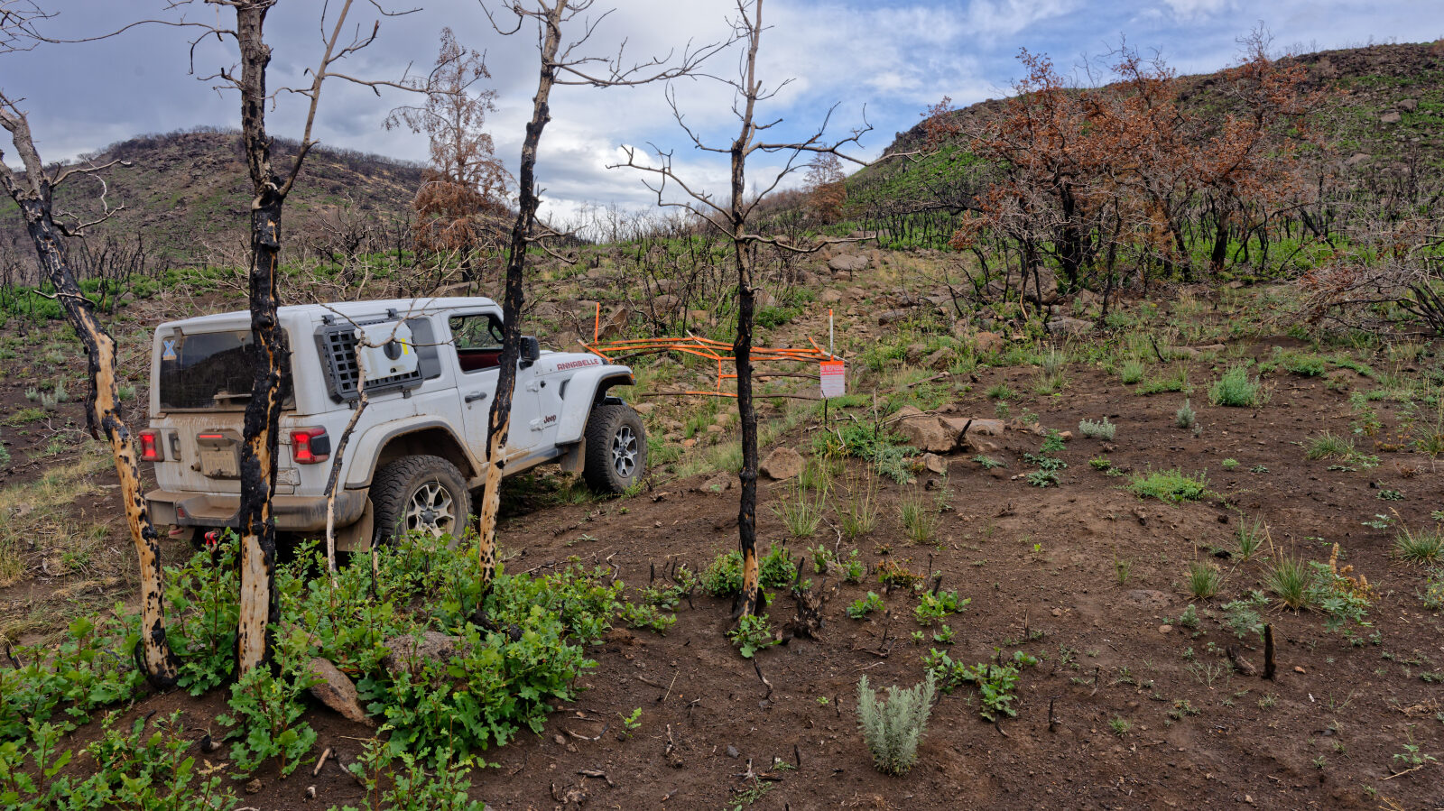
The driver notes that there is no camping along this road, so plan to camp elsewhere.
Map
The interactive map needs JavaScript. Every waypoint is also listed below.
Waypoints
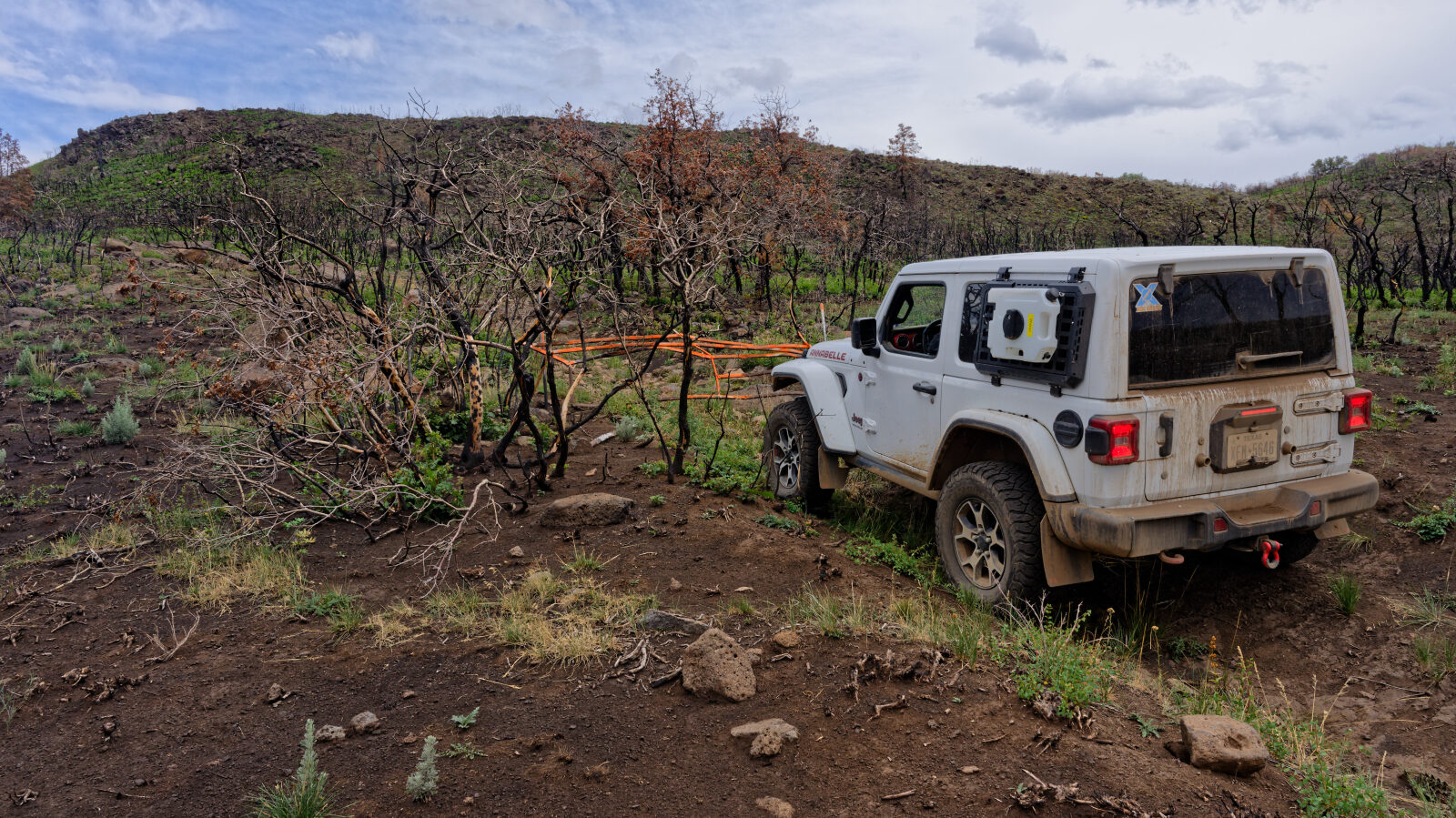
Waypoint 1 (38.69471, -111.92142)
This is County Road 3578.
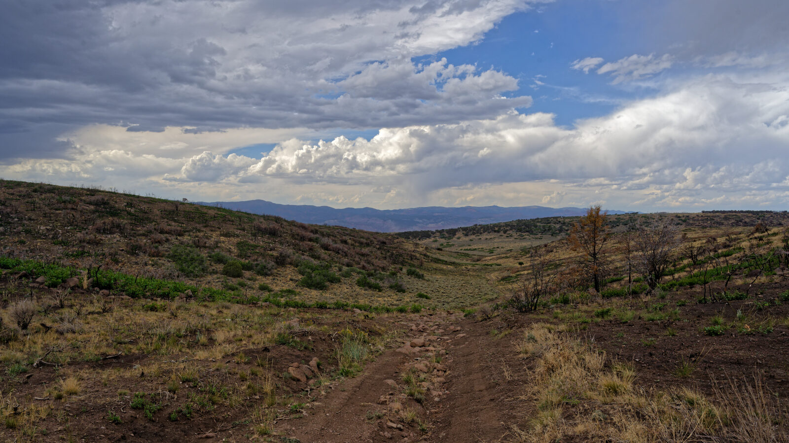
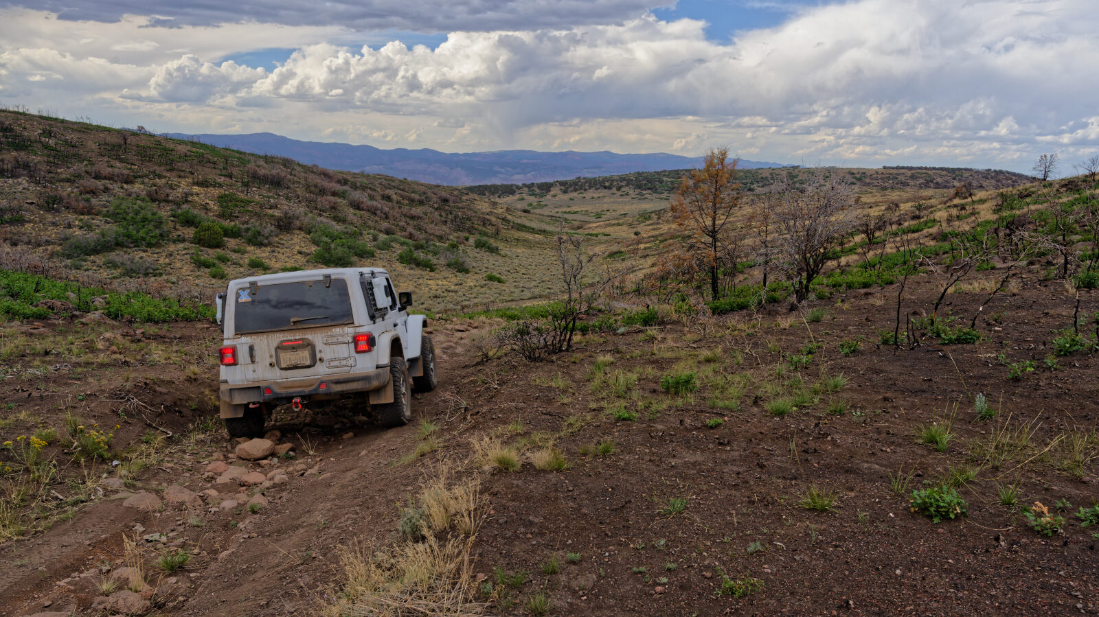
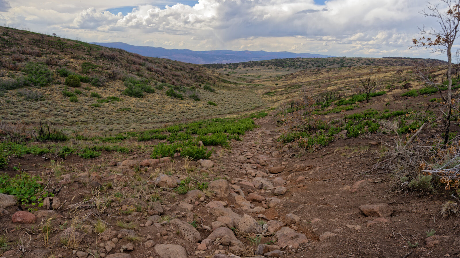
Waypoint 2 (38.69851, -111.92469)
This is the hardest part of the trail, a rocky stretch of about three hundred yards at most.
Waypoint 3 (38.70861, -111.93977)
There is no camping on this road.