Forest Boundary Road - Level 3
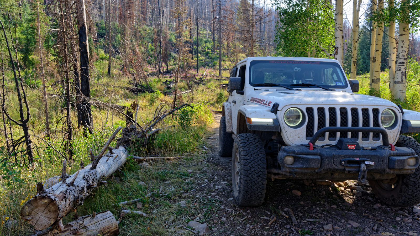
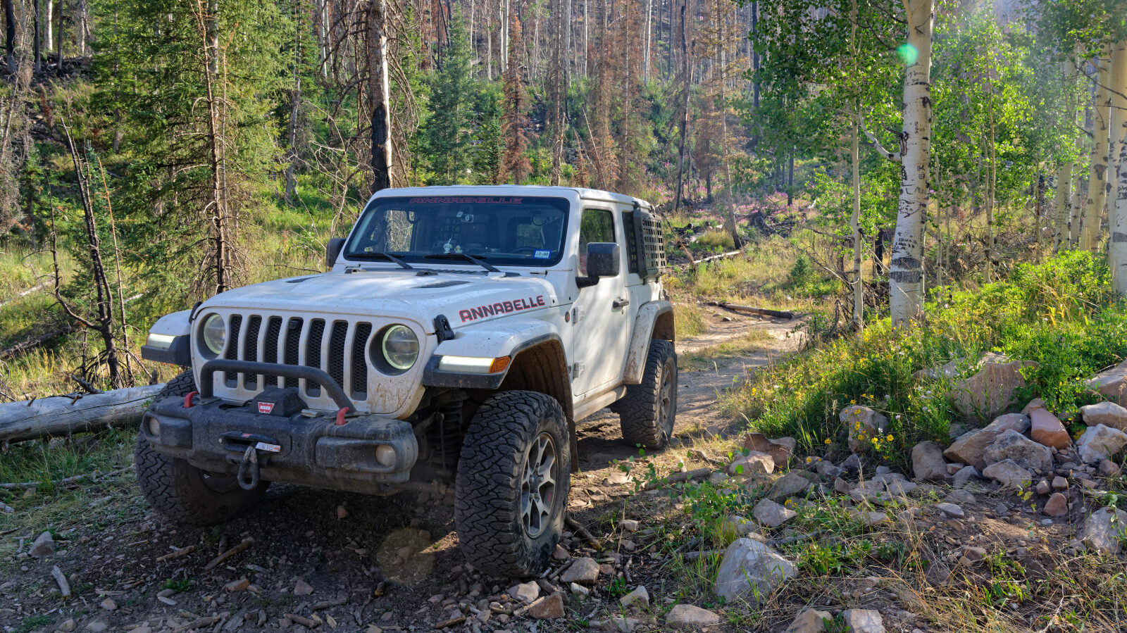
Forest Boundary Road is a high country two-track in the Uinta Mountains of northern Utah, in Wasatch County. It runs through forest within the Uinta-Wasatch-Cache National Forest, at elevations where snow lingers well into the season.
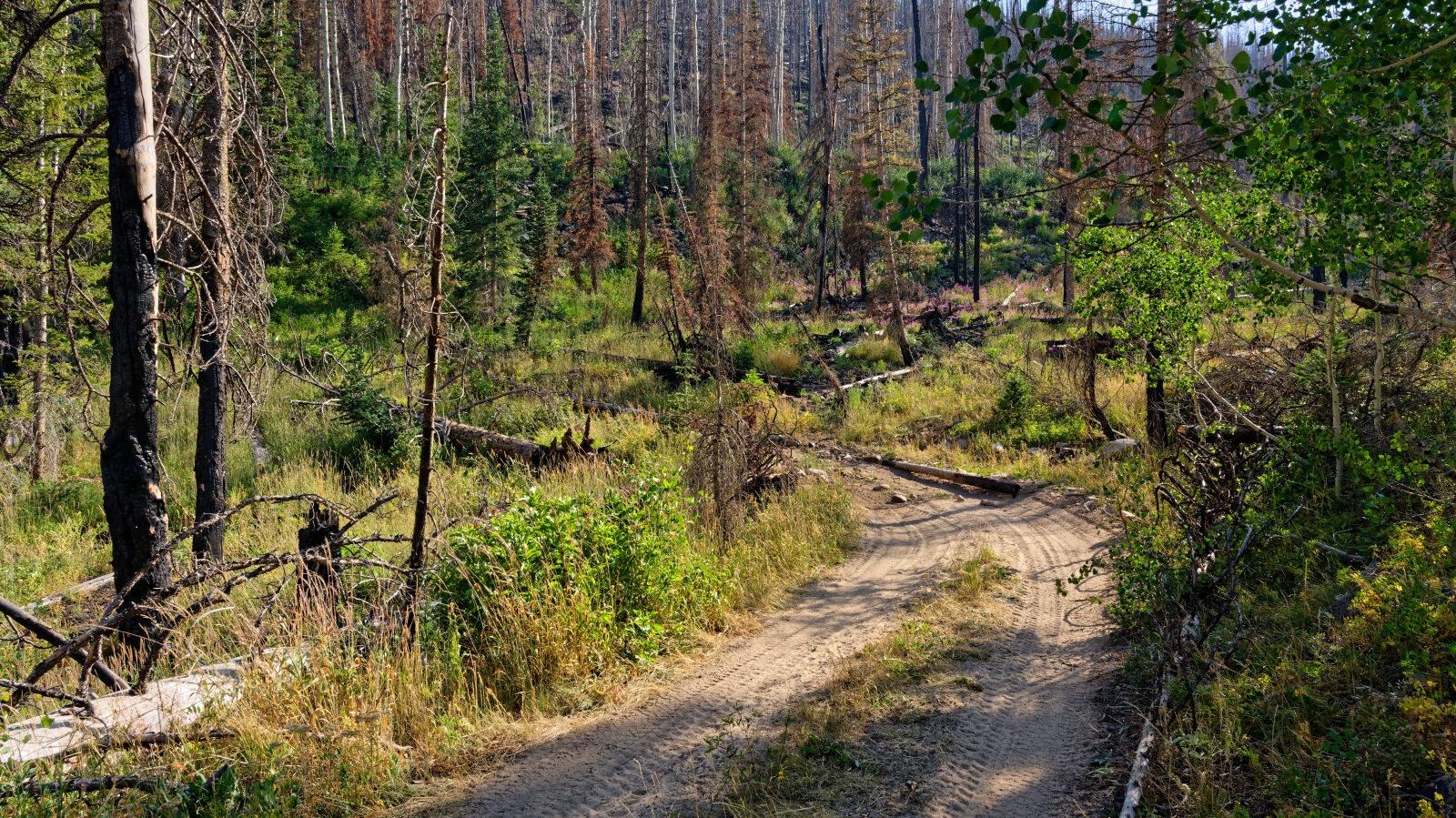
The road sees light use and is mostly a way to reach quiet dispersed areas and connect to other forest routes. Expect a remote feel and few other vehicles.
Trail Summary
- LocationWasatch County, Utah
- Distance3.5 miles
- DifficultyLevel 3
- Elevation9,334 ft to 9,866 ft with a 532 ft change
- Travel Time45 minutes
Difficulty
Best suited for a high clearance 4x4
Moderate (level 3) is best suited for a high clearance 4x4. Expect uneven, rutted dirt with loose rocks, possible sandy washes, and the chance of mud holes. Obstacles up to about 12 inches, such as ledges and short steep grades, are possible, and water crossings should be under a foot deep. The road is generally one vehicle wide with places to pass. The driver's log did not call out any specific obstacles, so no special trouble spots are flagged.
Terrain
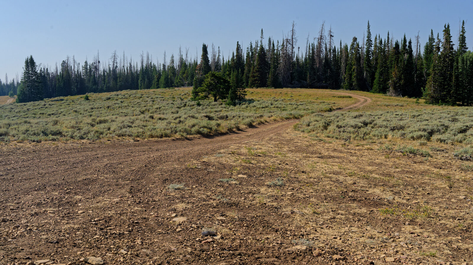
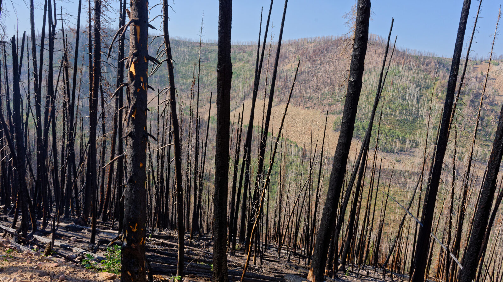
The route is a dirt road through forest within the Uinta-Wasatch-Cache National Forest.
Trail GPS File
Map
The interactive map needs JavaScript. Every waypoint is also listed below.
Waypoints
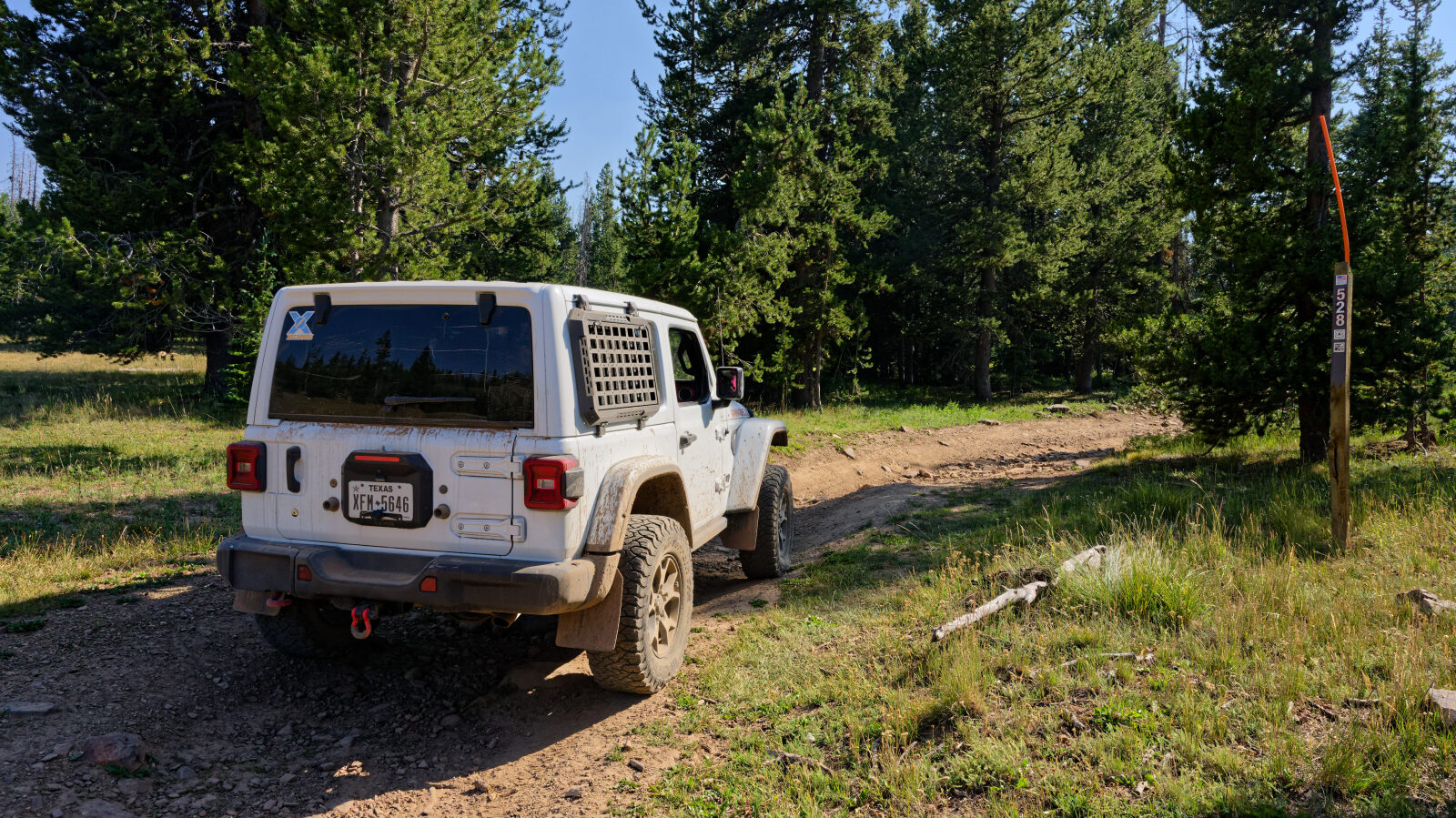
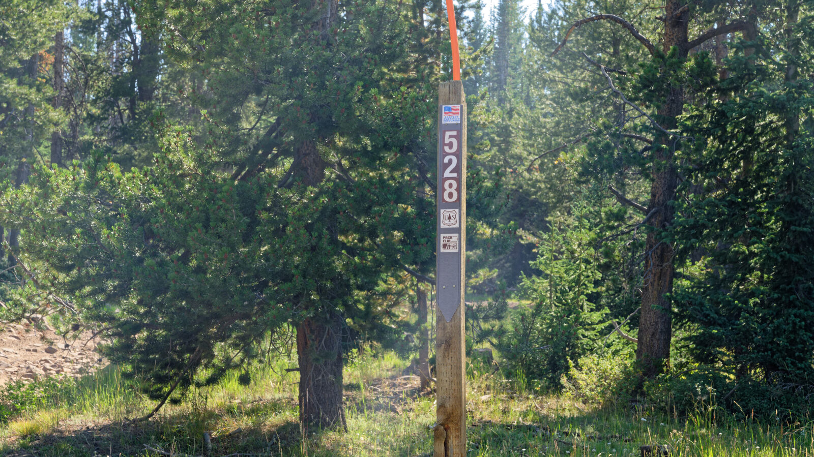
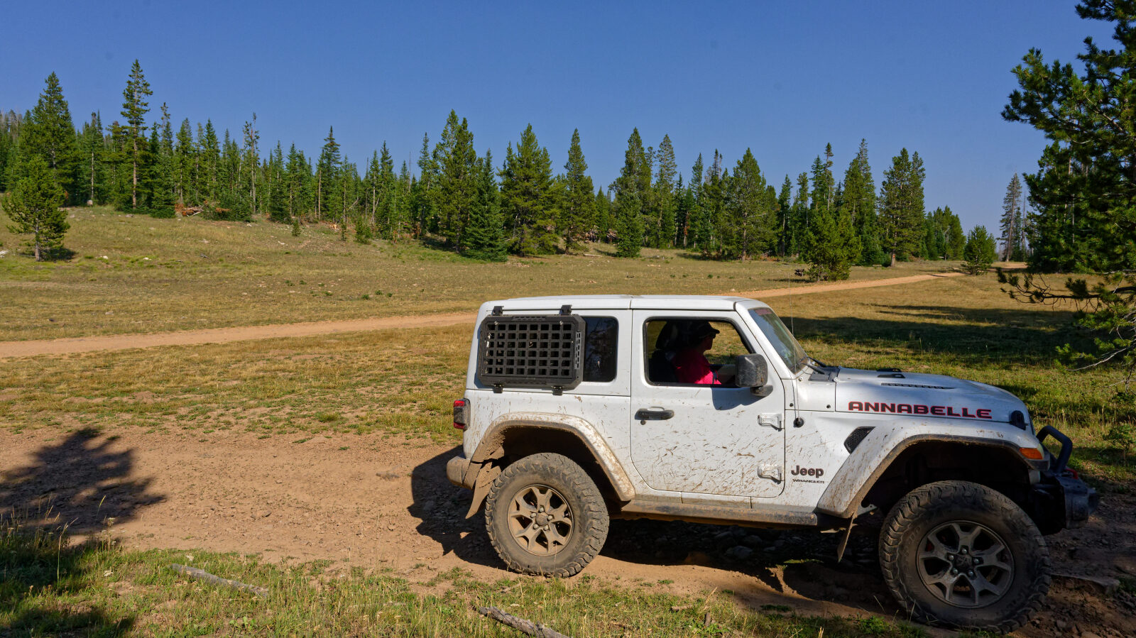
Waypoint 1 (40.50603, -110.94798)
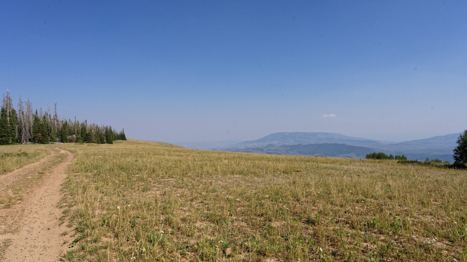
Waypoint 2 (40.49955, -110.94316)
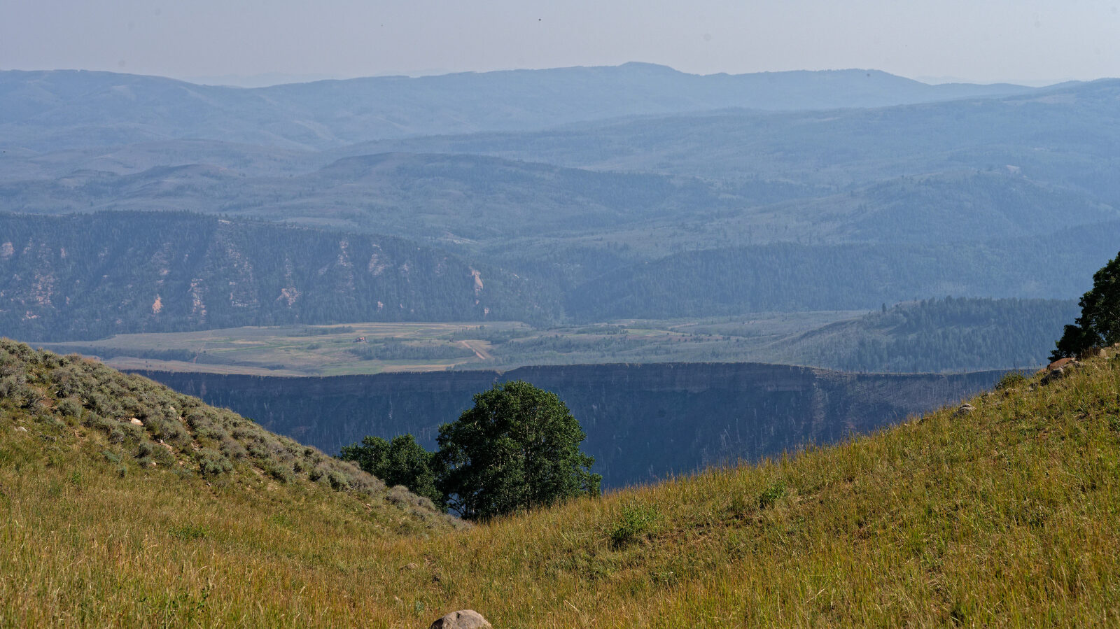
Waypoint 3 (40.49857, -110.94012)
Waypoint 4 (40.49481, -110.92661)
Waypoint 5 (40.49345, -110.90932)