Horse Connect - Level 3
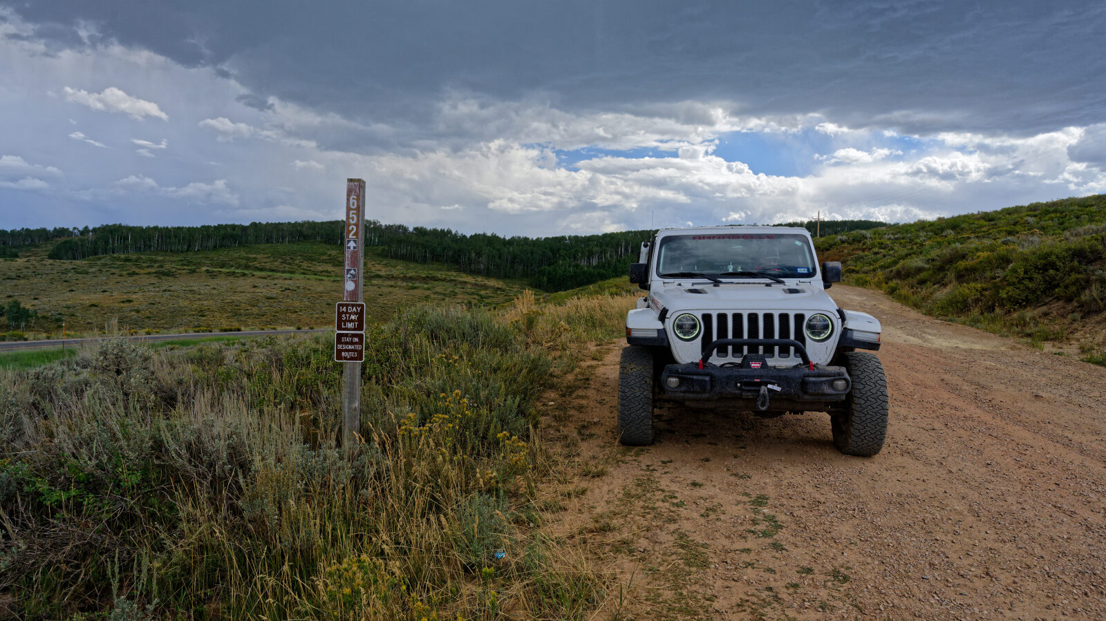
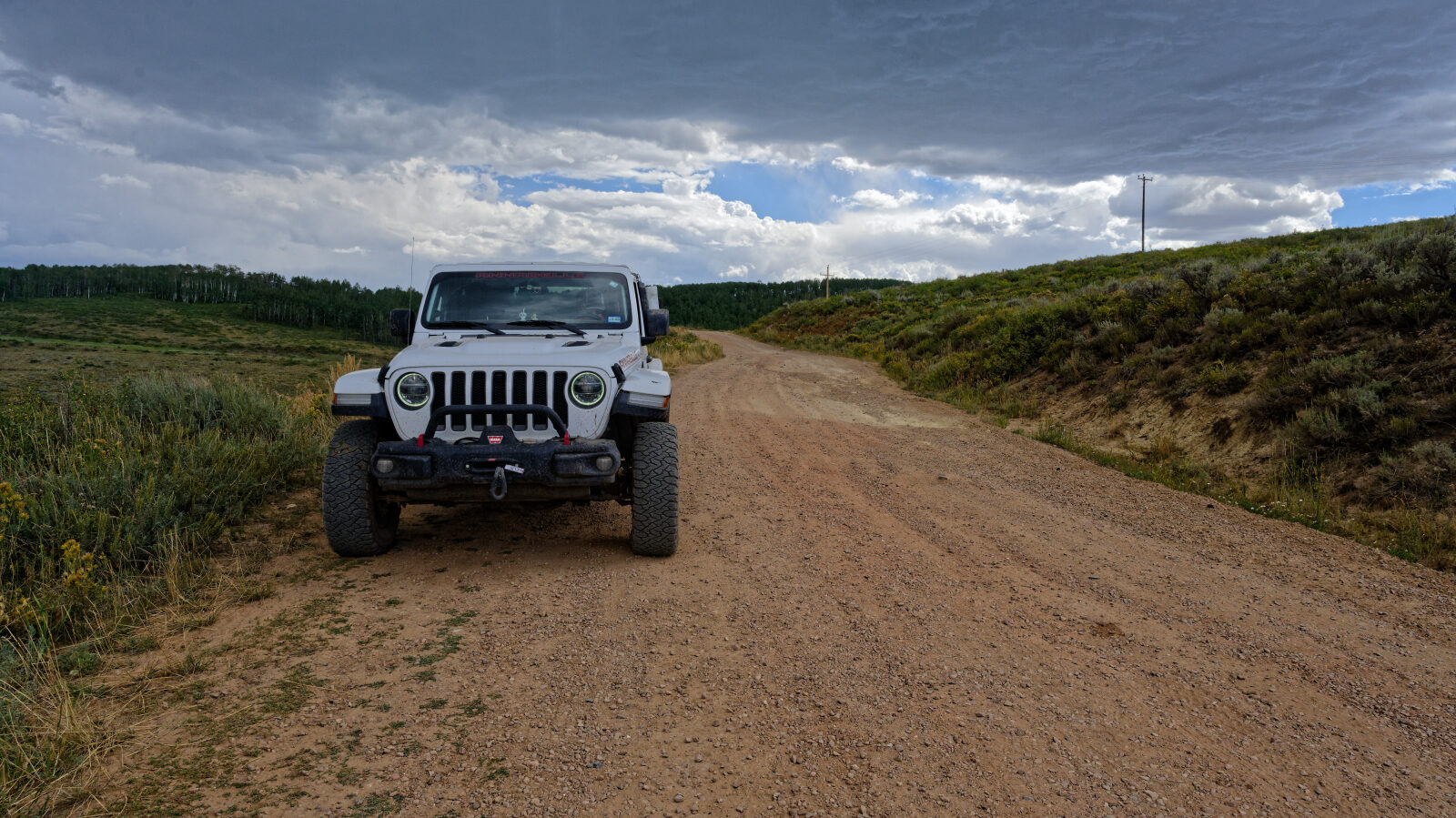
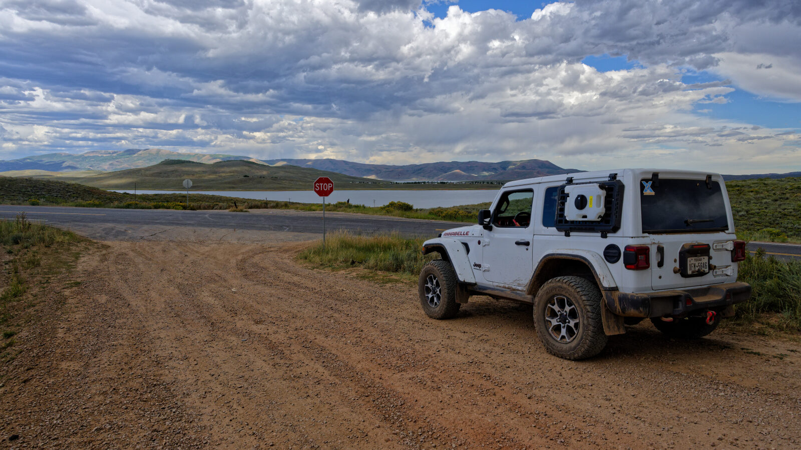
Horse Connect is a short backcountry route in the Wasatch Mountains of northern Wasatch County, Utah. It climbs through a mix of forested and open terrain on a narrow road used by recreationists and by riders and stock users reaching trails in the area.
The route links to other roads in the area, so it works as a connector as well as a stand-alone outing. Expect a quiet drive with views over the surrounding ridges.
Trail Summary
- LocationWasatch County, Utah
- Distance3.8 miles
- DifficultyLevel 3
- Elevation7,601 ft to 8,308 ft with a 707 ft change
- Travel Time34 minutes
Difficulty
Best suited for a high clearance 4x4
Rated Moderate (level 3), this trail suits a stock high clearance 4x4 with off-road tires. Expect uneven, rutted dirt with loose rock and possible sandy or muddy spots. Obstacles such as ledges, drops and short steep grades should stay under 12 inches, and careful tire placement may be needed in places. The road is generally one vehicle wide with places to pass. The driver's log calls out steep or loose sections as the places that need special attention, so take them slowly and keep steady traction.
Map
The interactive map needs JavaScript. Every waypoint is also listed below.
Waypoints
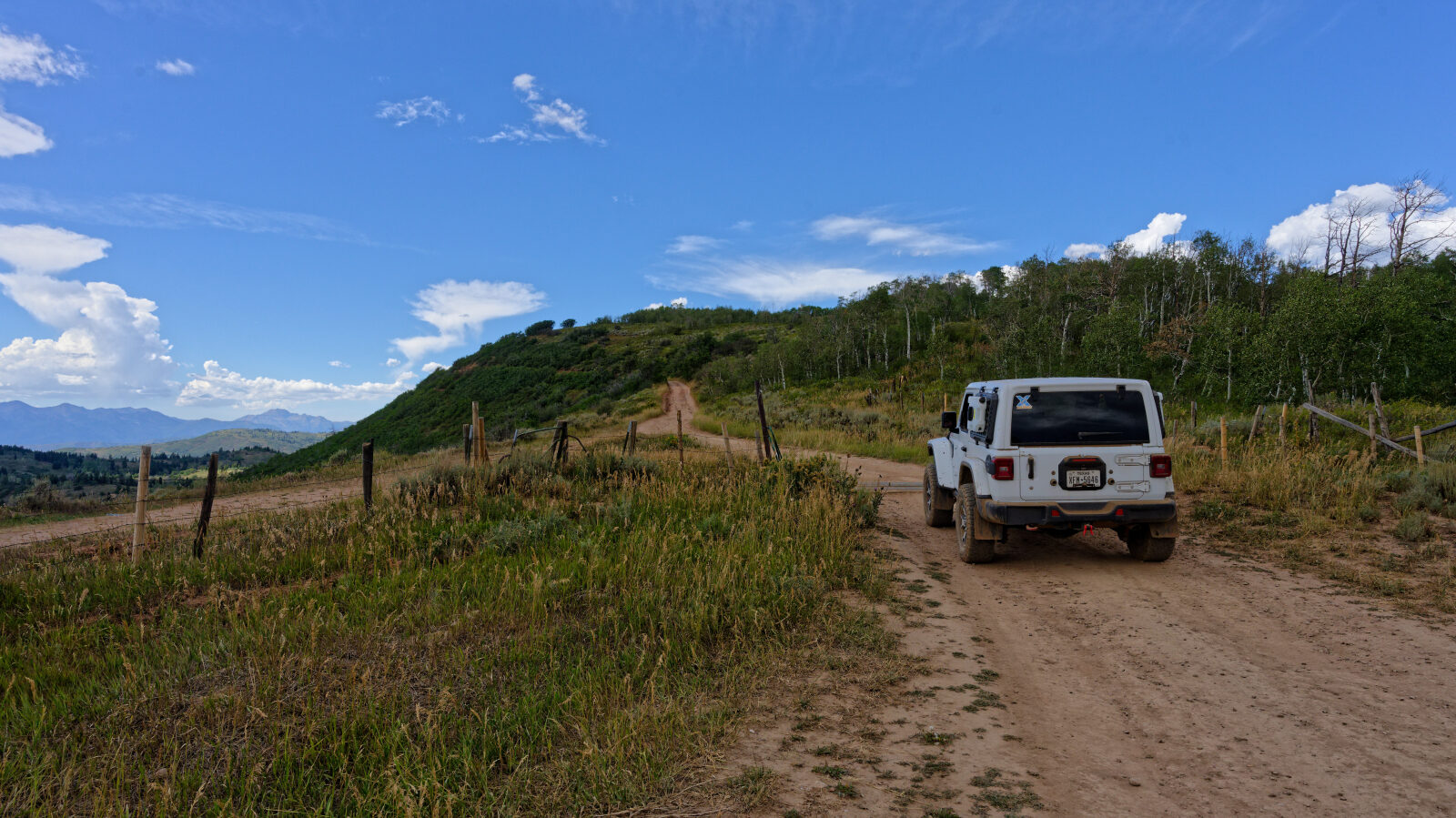
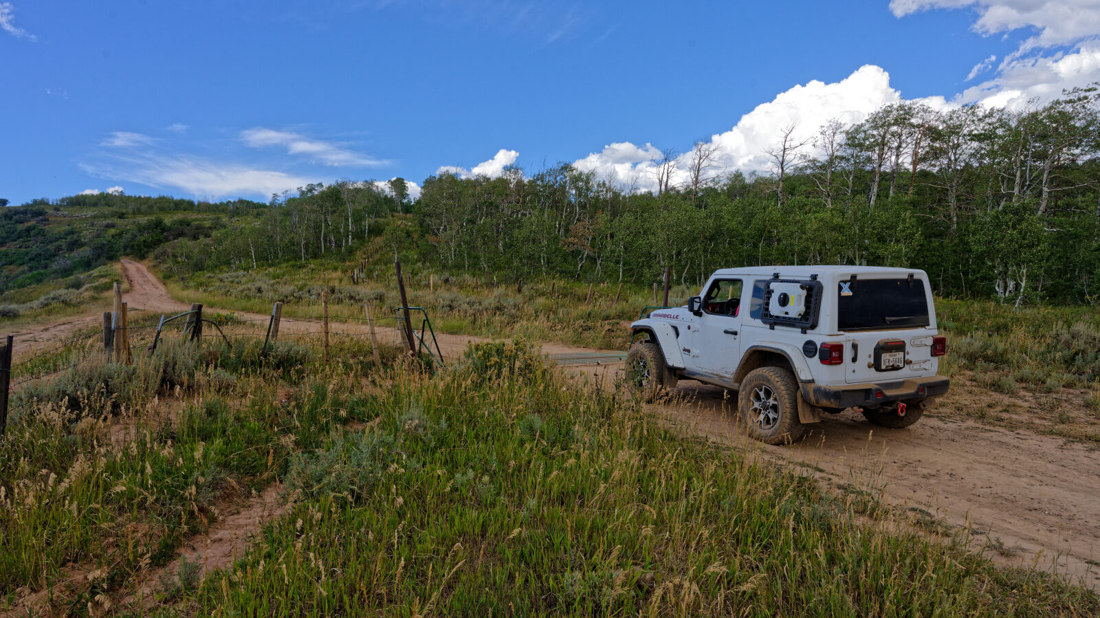
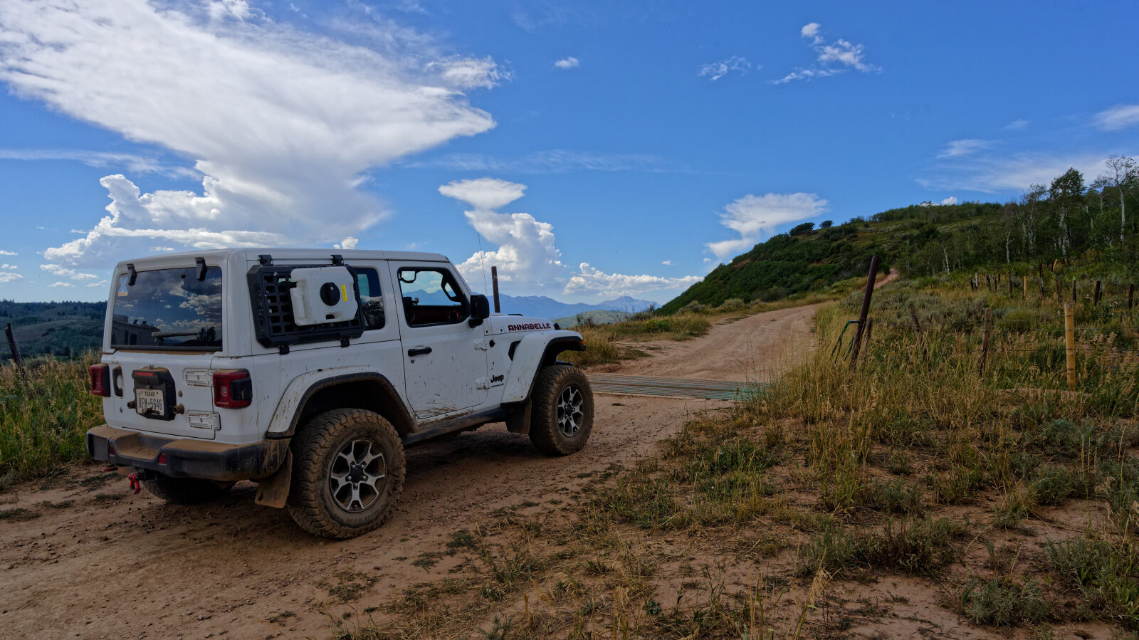
Waypoint 1 (40.13771, -111.22381)
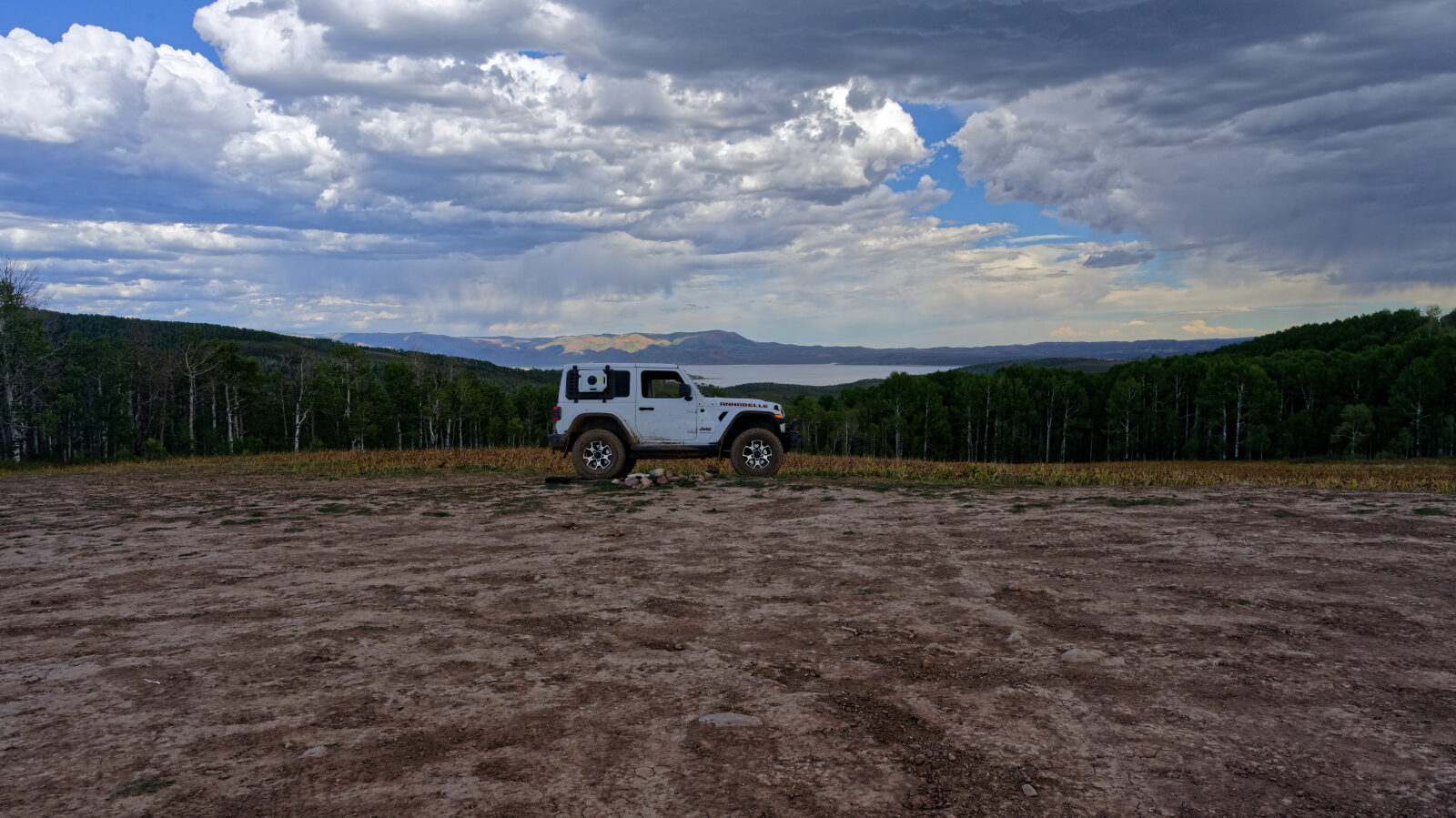
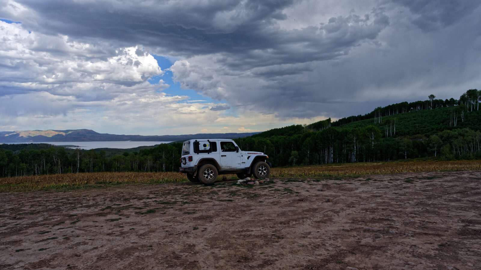
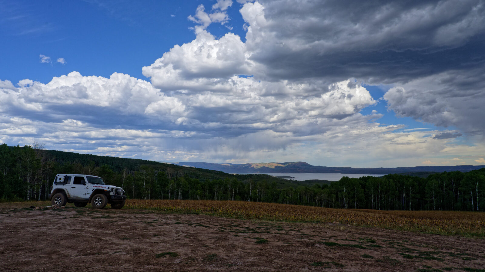
Waypoint 2 (40.14472, -111.22553)
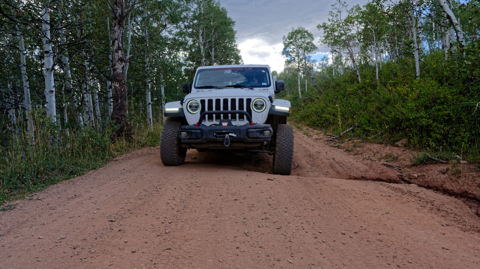
Waypoint 3 (40.14687, -111.22582)

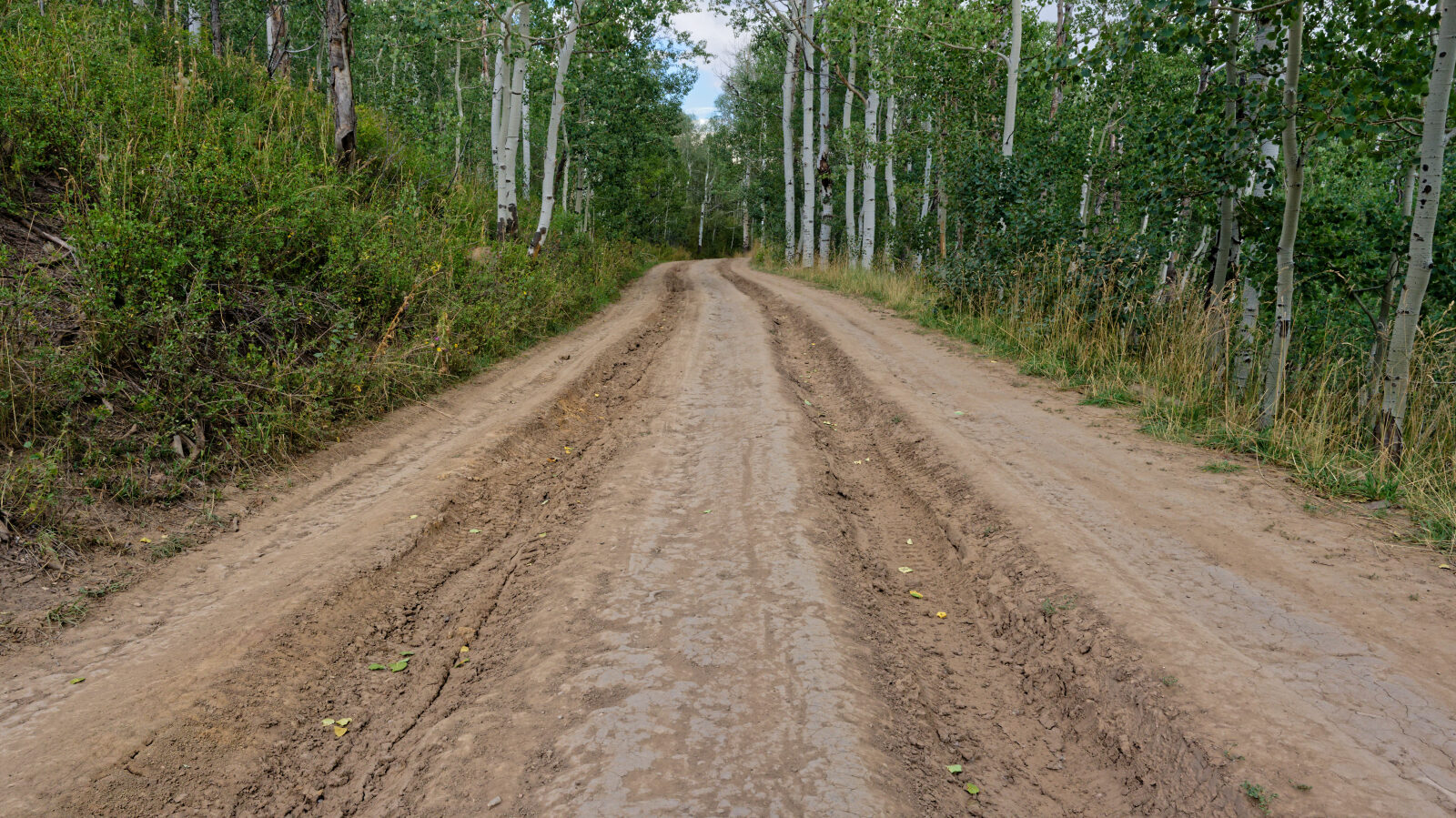
Waypoint 4 (40.15192, -111.21832)
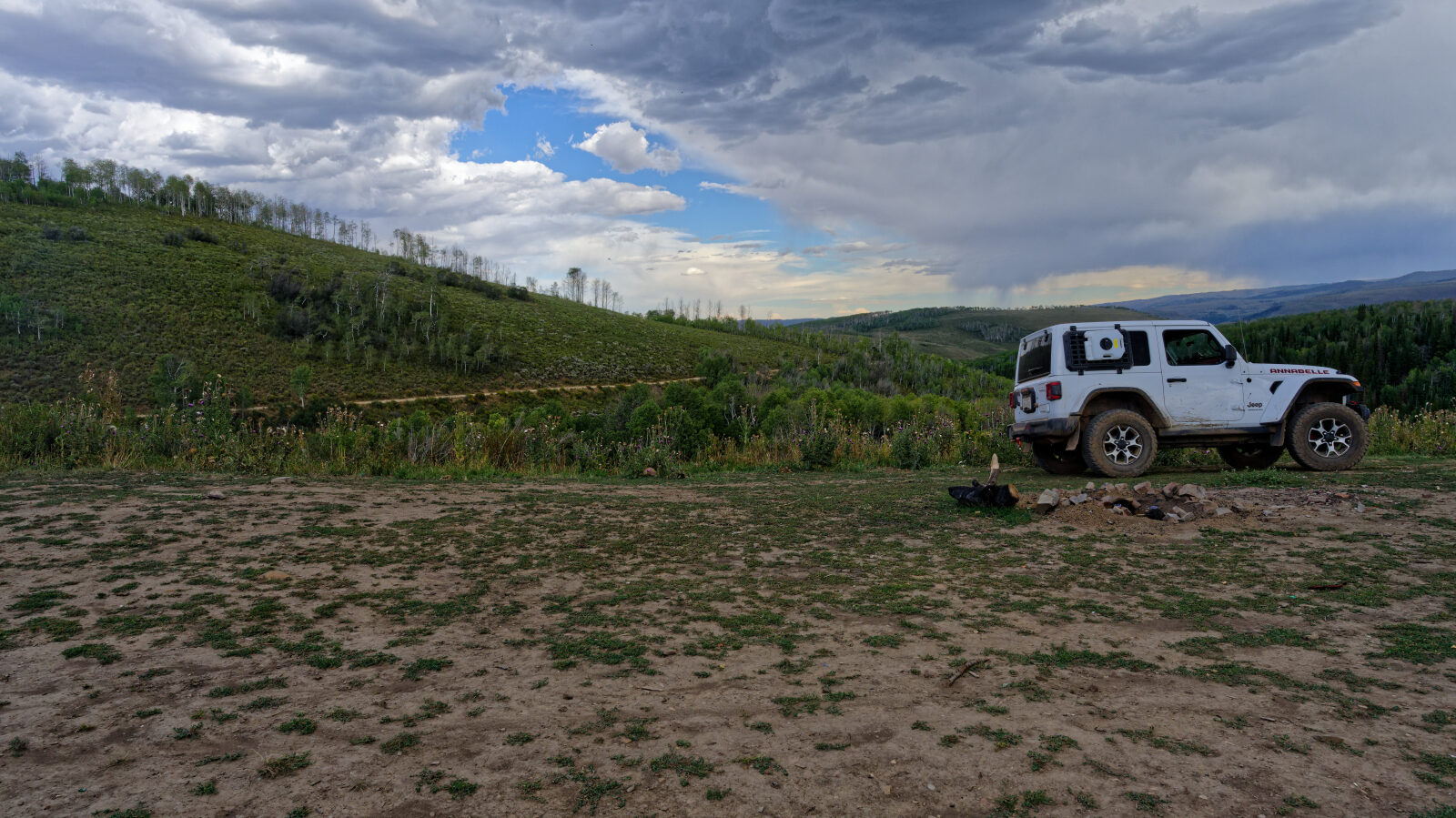
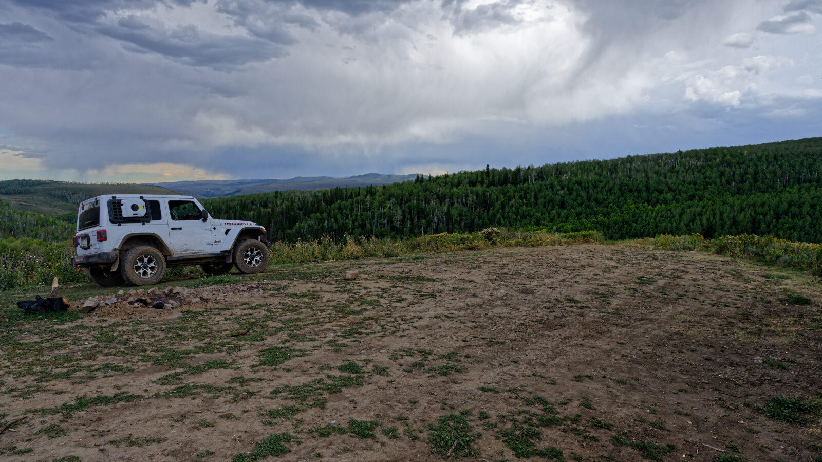
Waypoint 5 (40.15238, -111.21226)
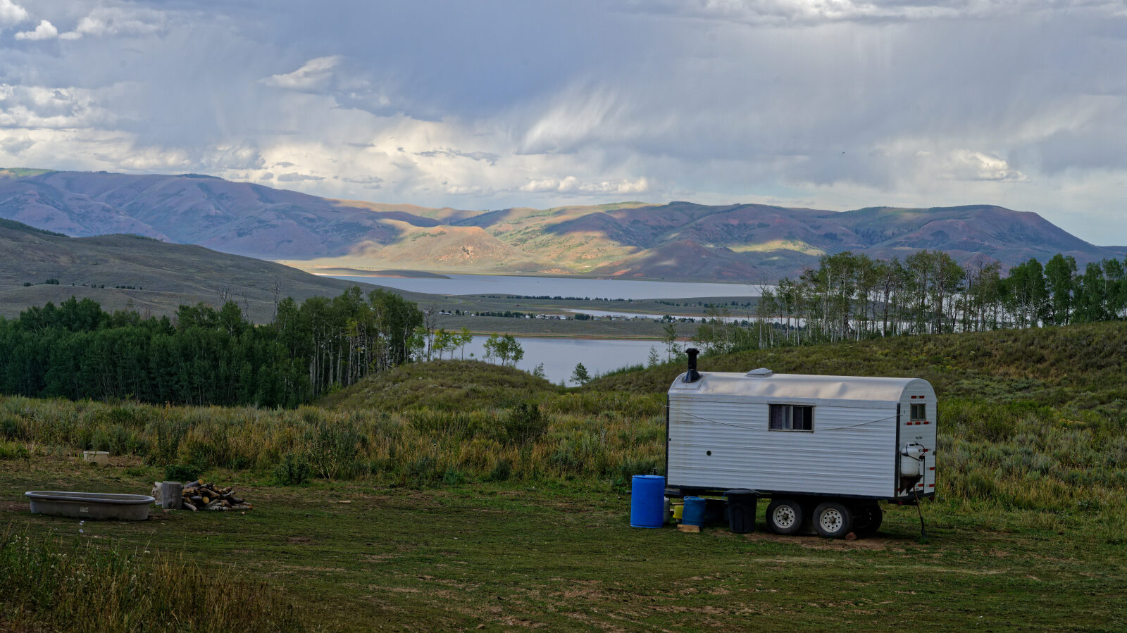
Waypoint 6 (40.15525, -111.20161)