Hogs Back Road - Level 3
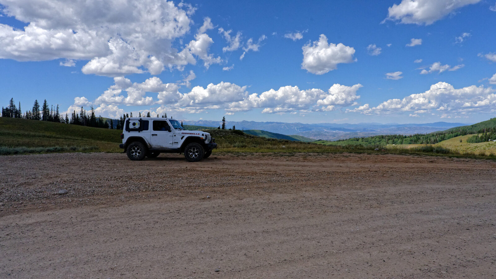
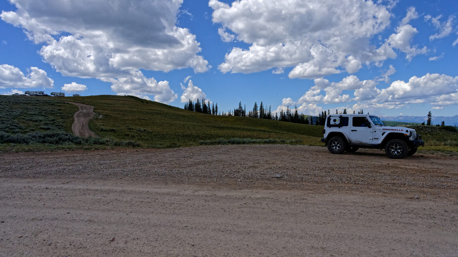
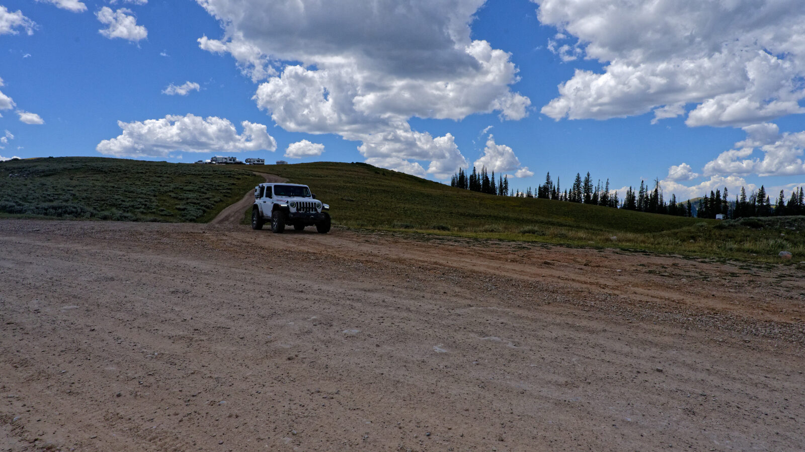
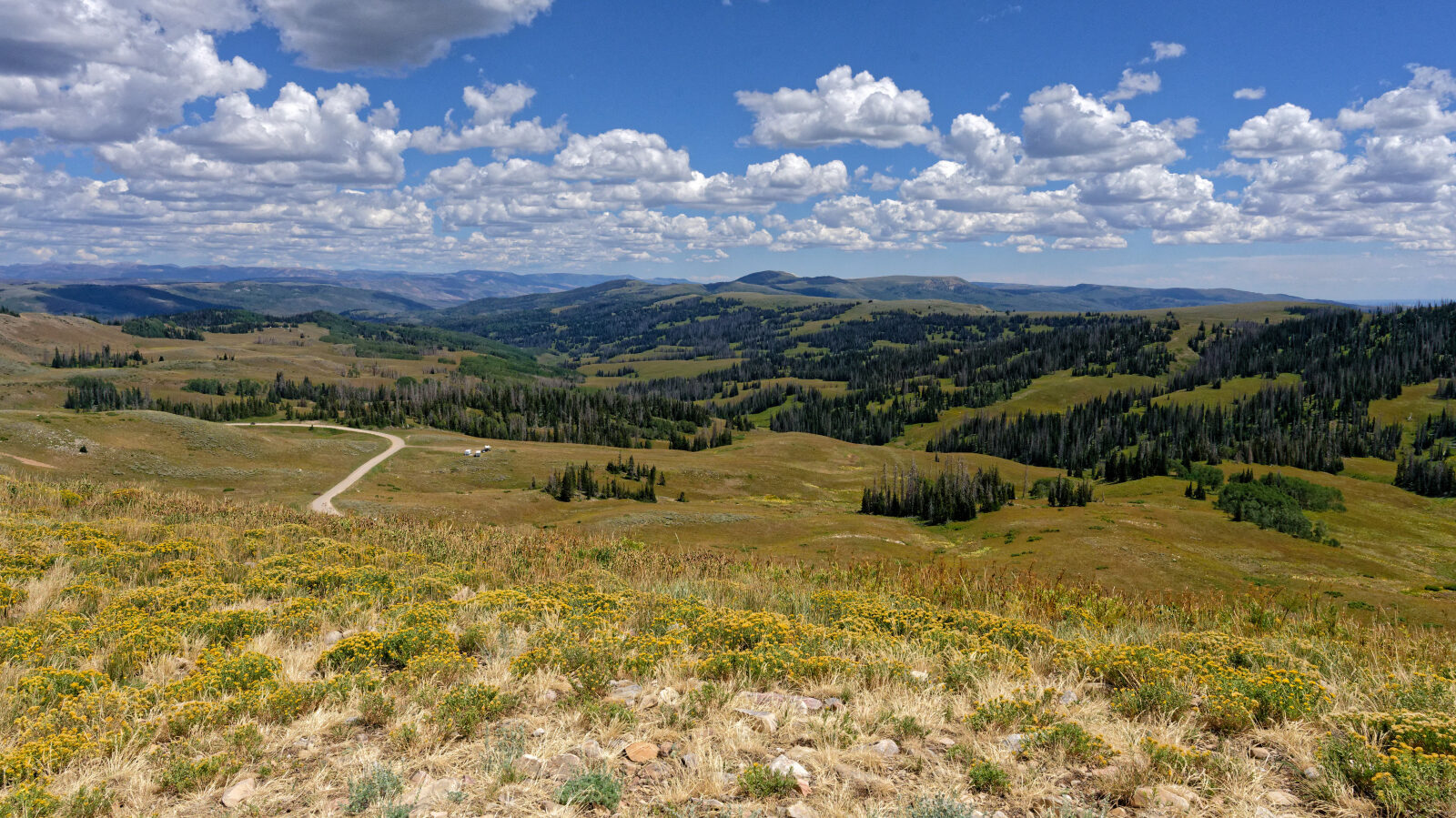
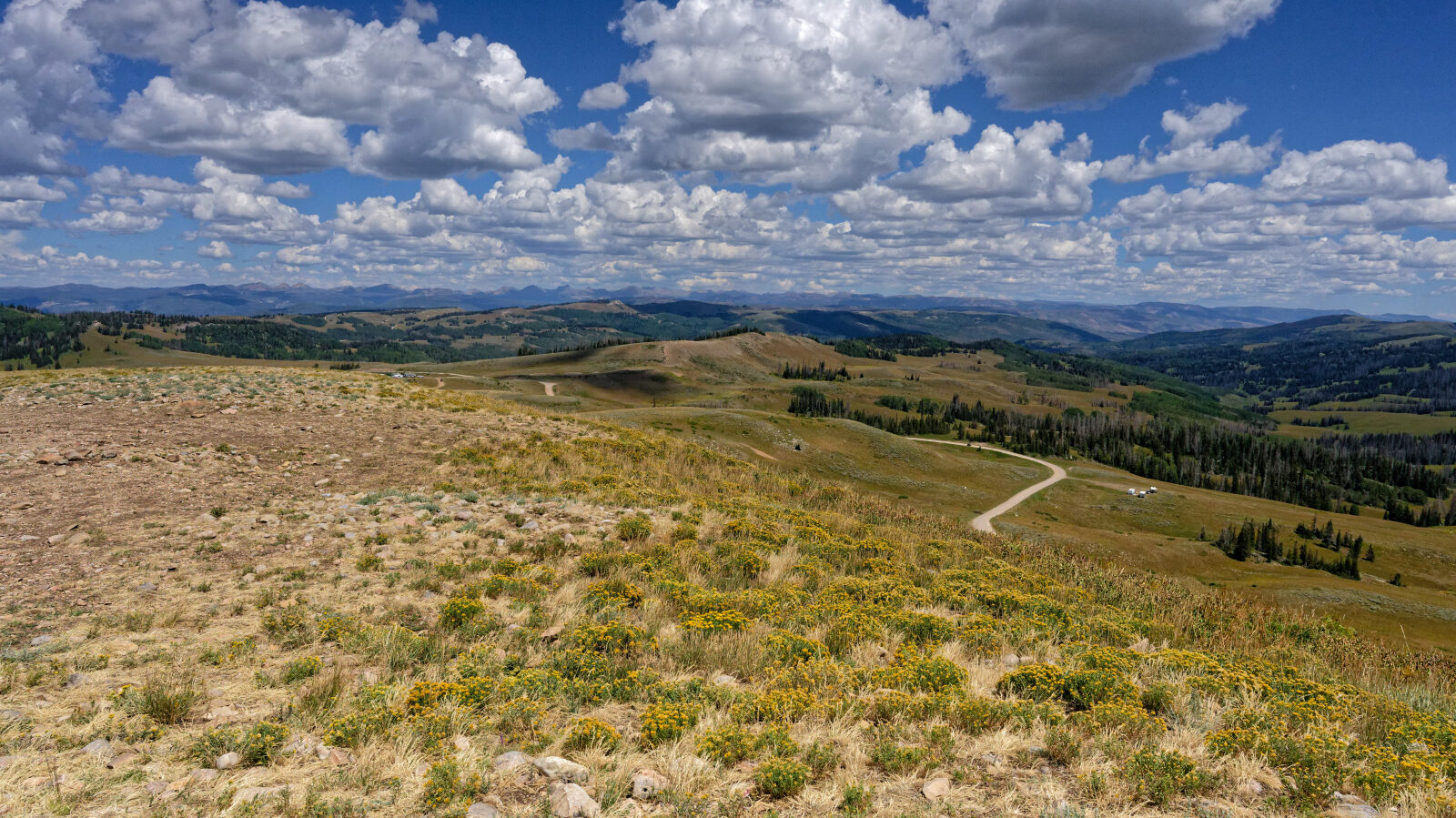
Hogs Back Road runs through high forest country in northern Utah, east of the Wasatch Back. It starts near Independence and climbs through timber and open slopes before dropping again toward its far end.
It is a backcountry road rather than a destination loop. Expect a quiet drive with changing forest cover and some long views as the road gains and loses elevation.
Trail Summary
- LocationIndependence, Utah
- Distance8.3 miles
- DifficultyLevel 3
- Elevation8,566 ft to 10,172 ft with a 1,606 ft change
- Travel Time1 hour 40 minutes
Difficulty
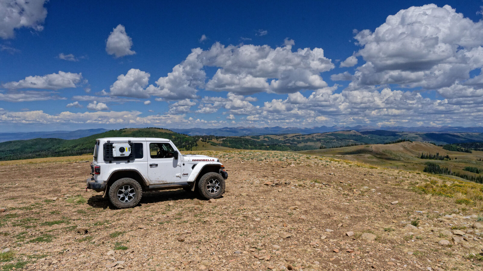
Best suited for a high clearance 4x4
Level 3 is Moderate and best suited to a high clearance 4x4. Expect a stock 4WD vehicle with good ground clearance and off-road tires to manage it. The surface is typically rockier or more undulating, with possible ledges, drops, climbs or water crossings under 12 inches. Careful tire placement may be needed, and sections can be steep or loose. The road is generally one vehicle wide with places to pass. The driver's log has no specific obstacles, so no one spot needs special attention, but check conditions after rain or snowmelt.
Terrain
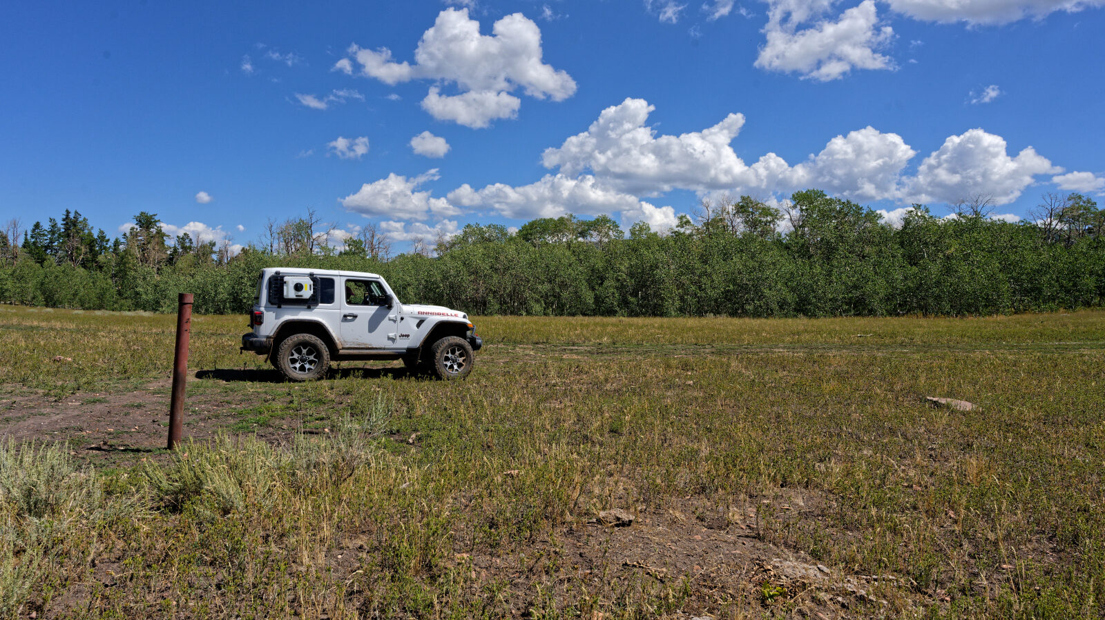
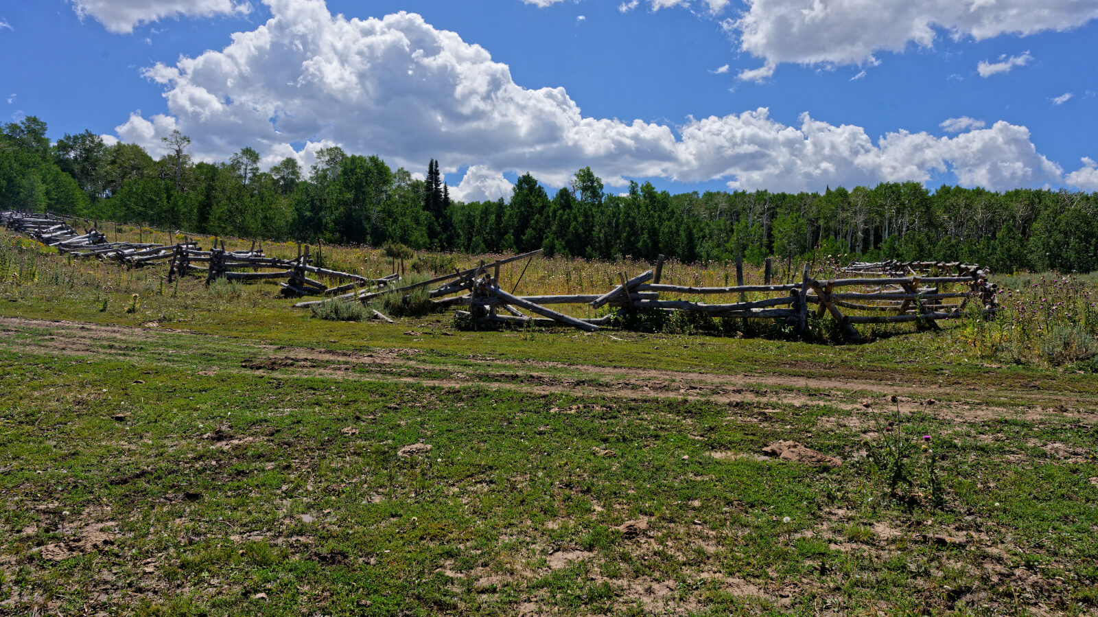
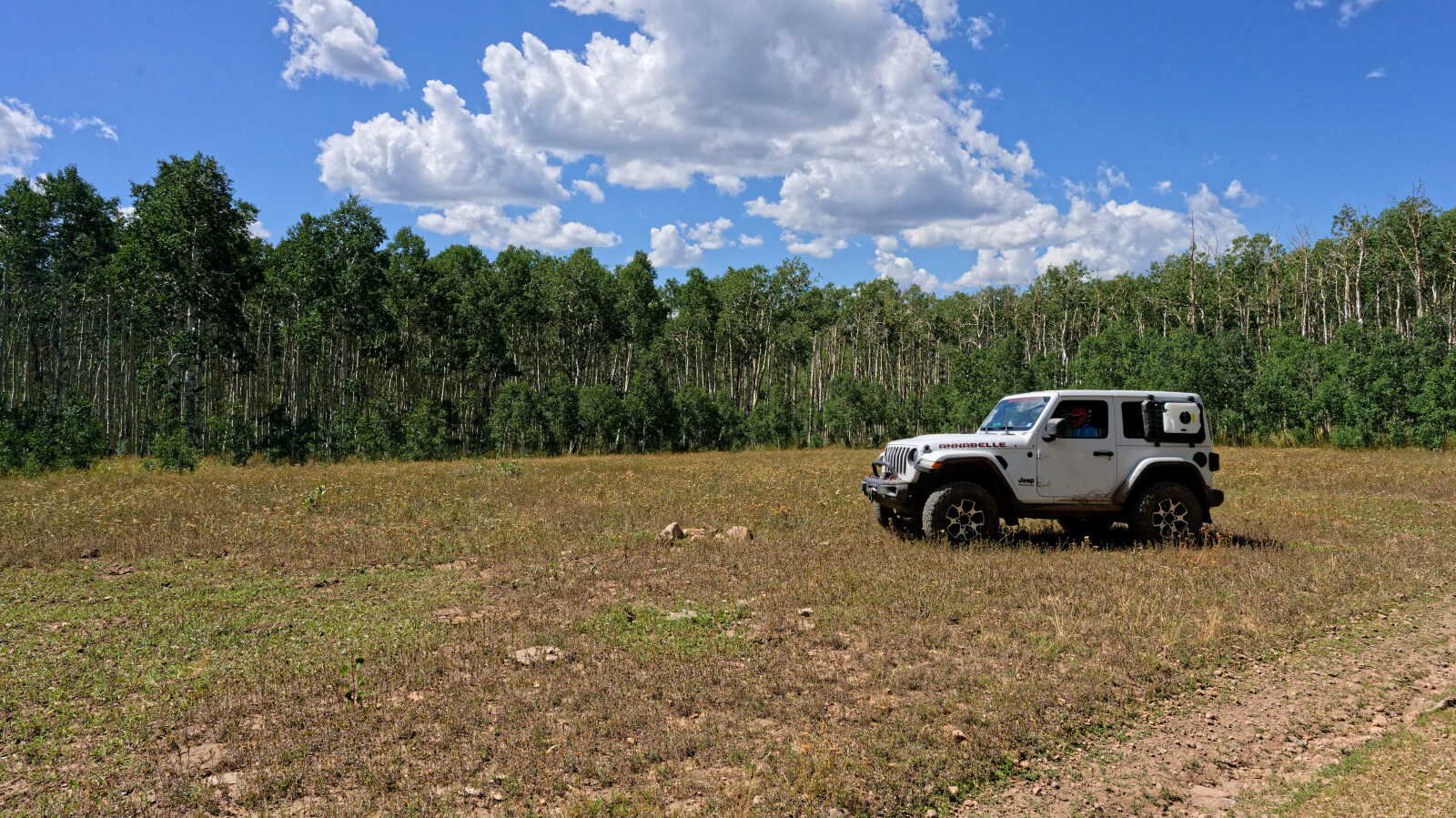
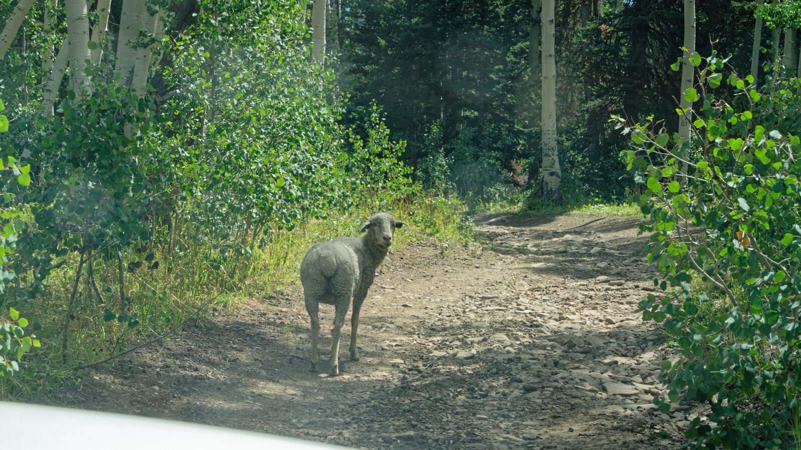
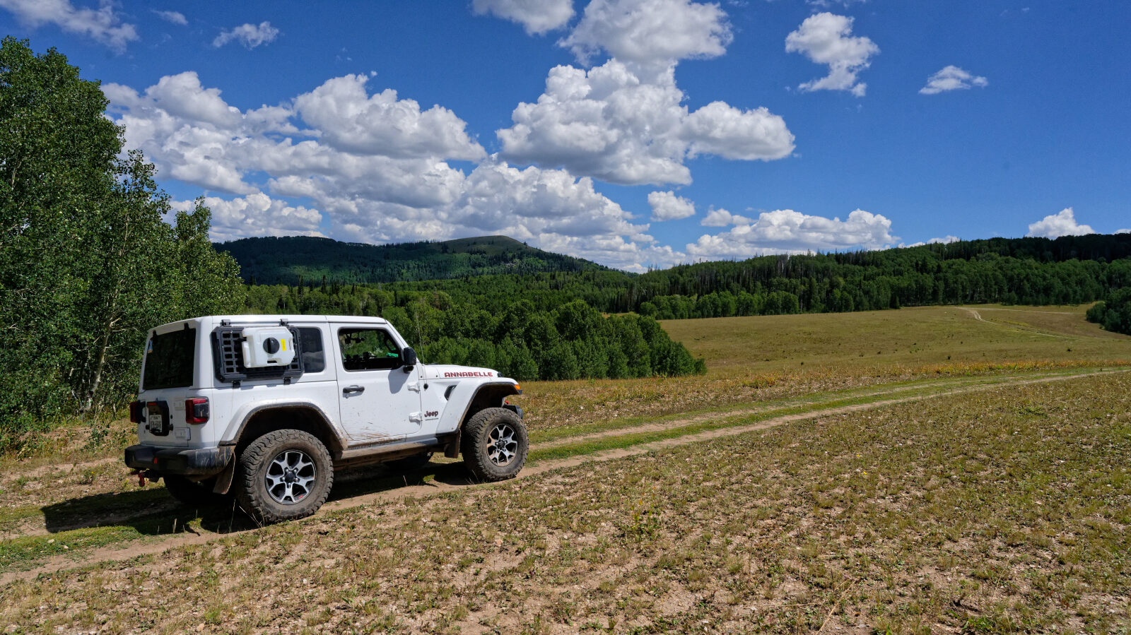
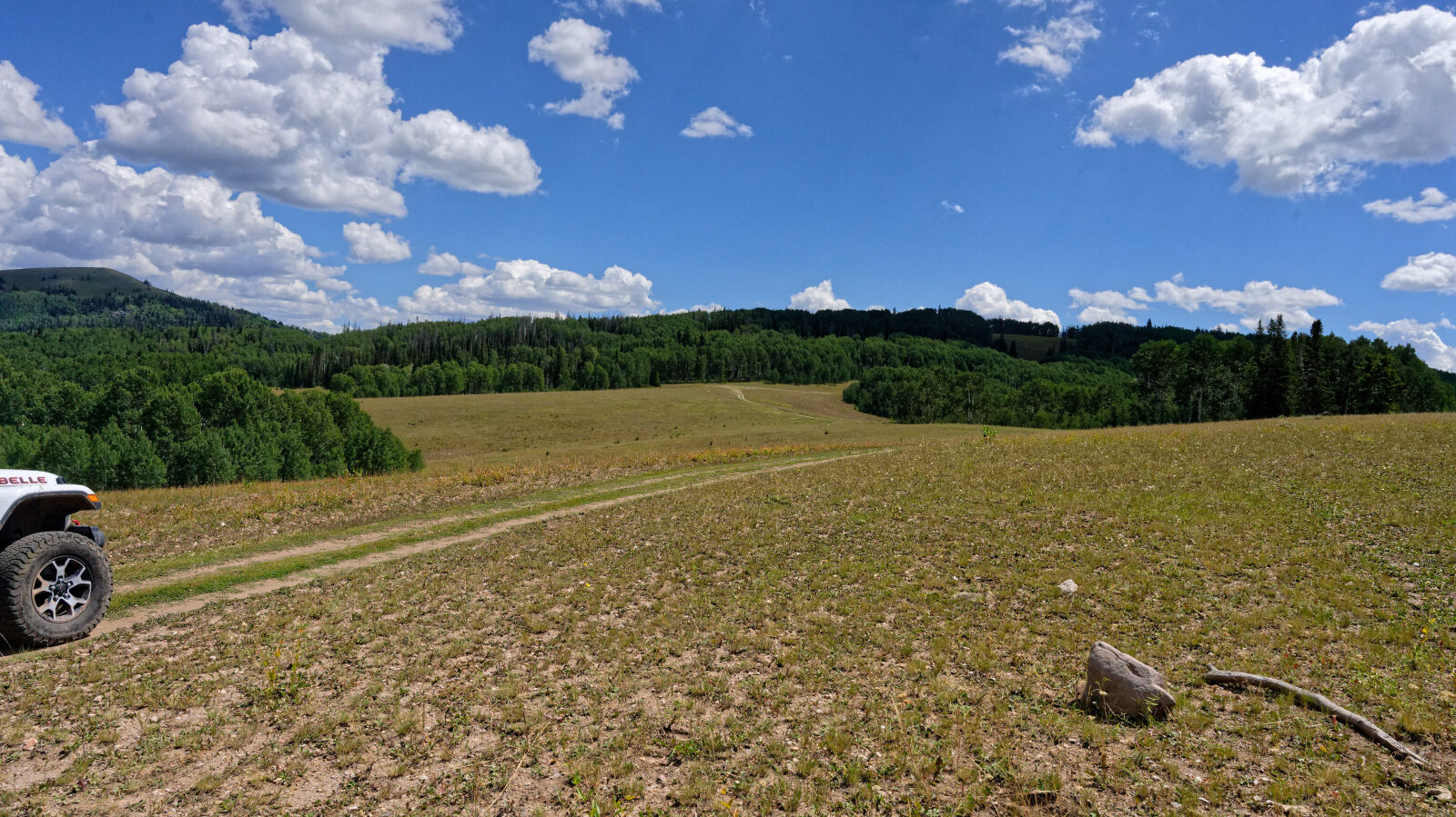
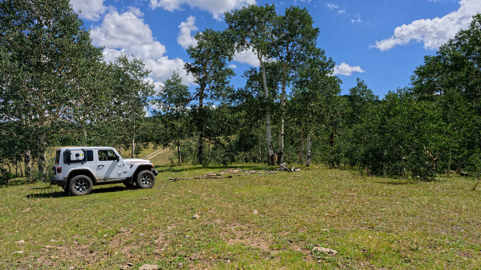
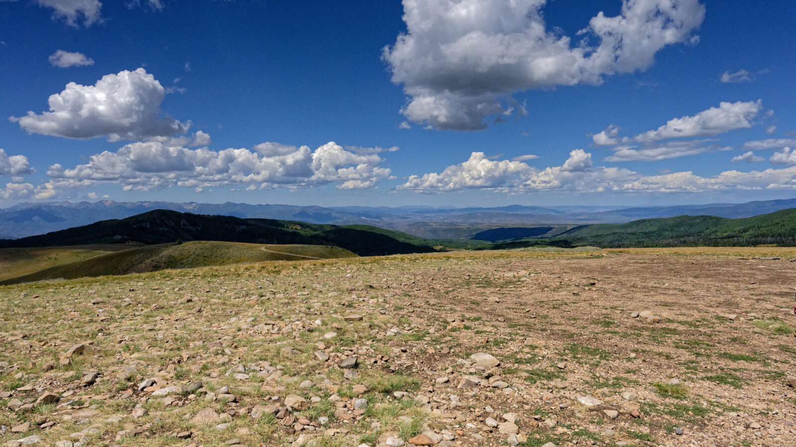
The route follows a narrow dirt road at high elevation in the Uinta Mountains area, passing through conifer and aspen forest and open ridge terrain. Expect uneven, rutted dirt with loose rock in places. Wet weather and late snowmelt can leave soft or muddy sections.
Highlights
The route spans a wide elevation range, so the vegetation and views change noticeably along the way. Cell service is poor in this part of the Uintas, so carry a map and tell someone your plans.
Map
The interactive map needs JavaScript. Every waypoint is also listed below.
Waypoints
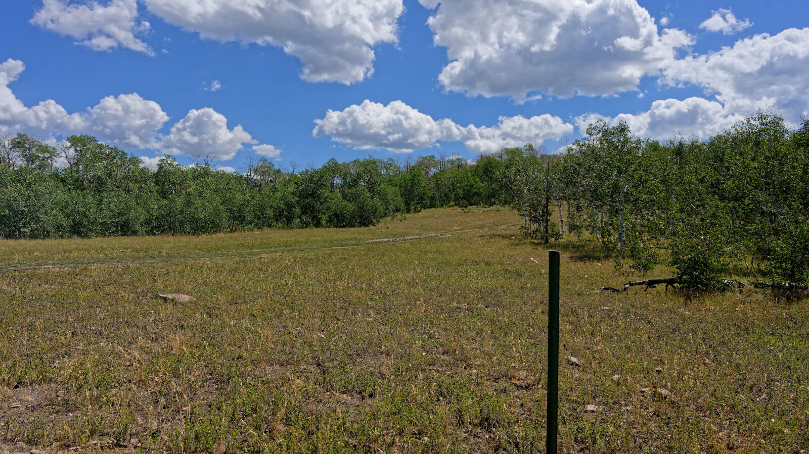
Waypoint 1 (40.41550, -111.27626)
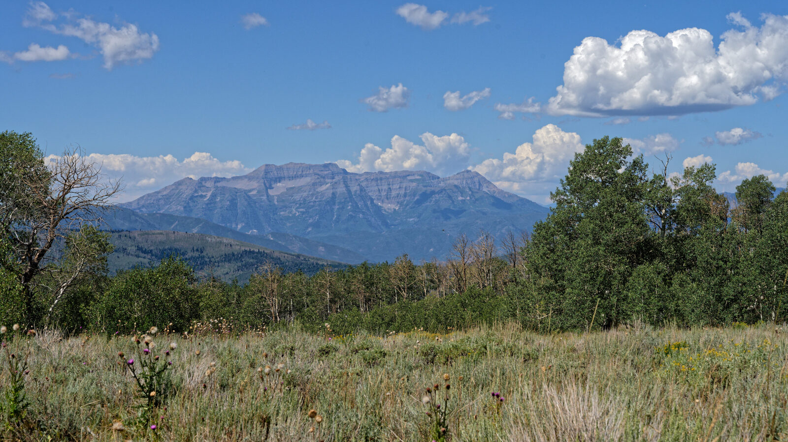
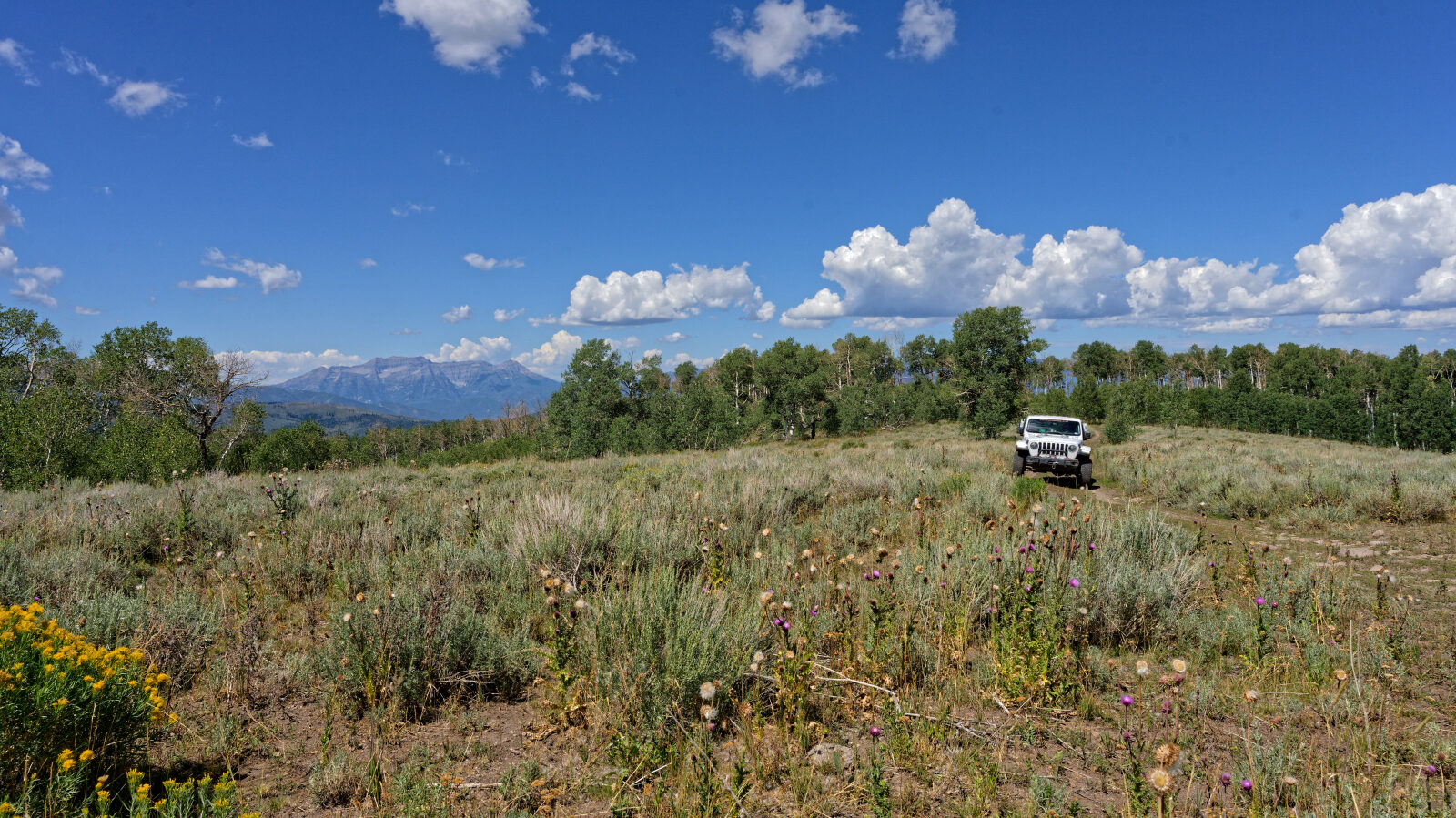
Waypoint 2 (40.41234, -111.26769)
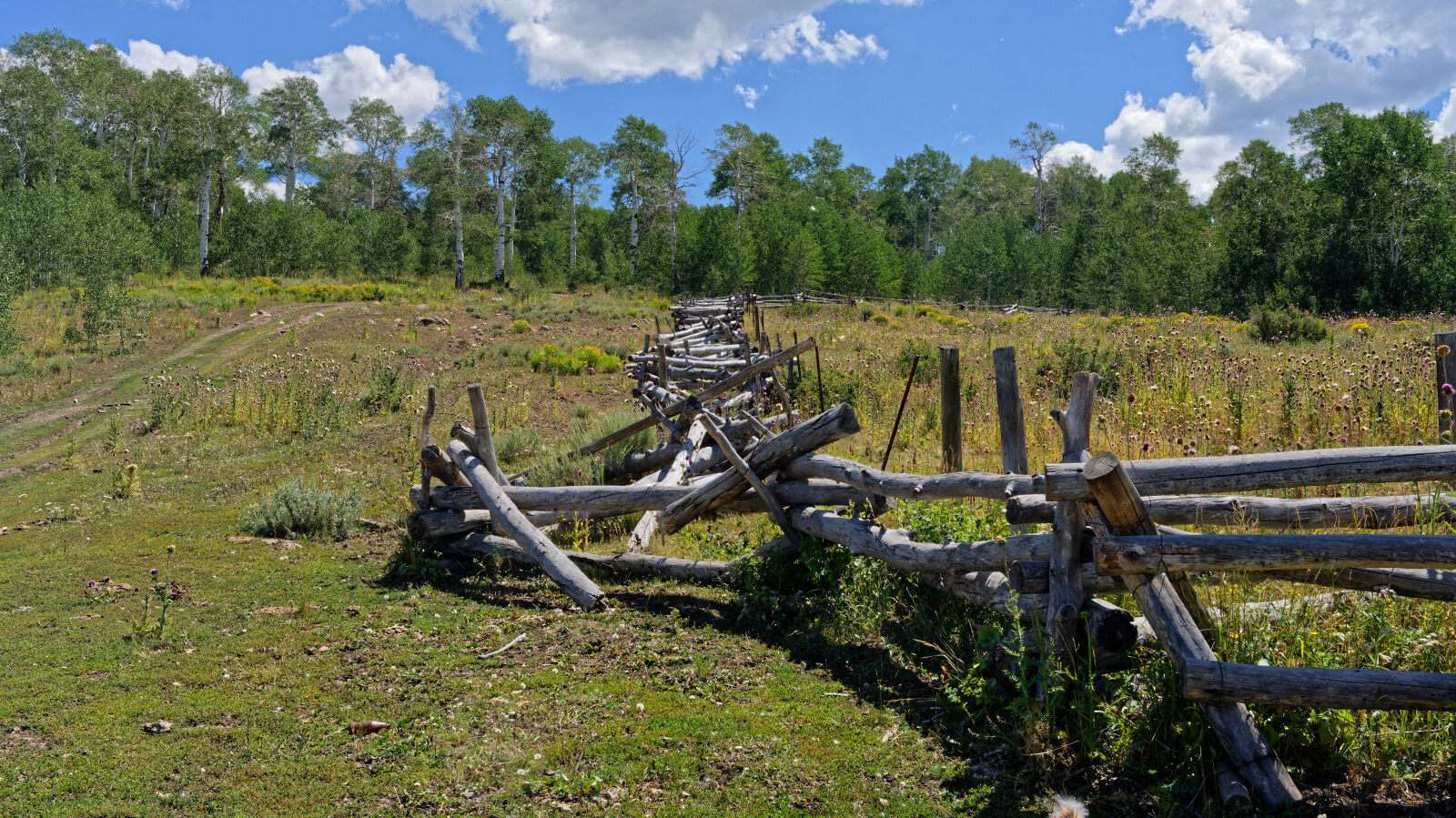
Waypoint 3 (40.41157, -111.26551)
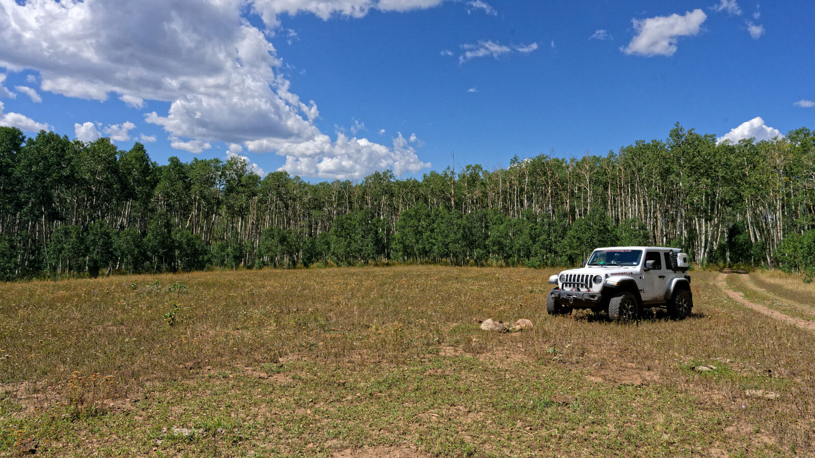
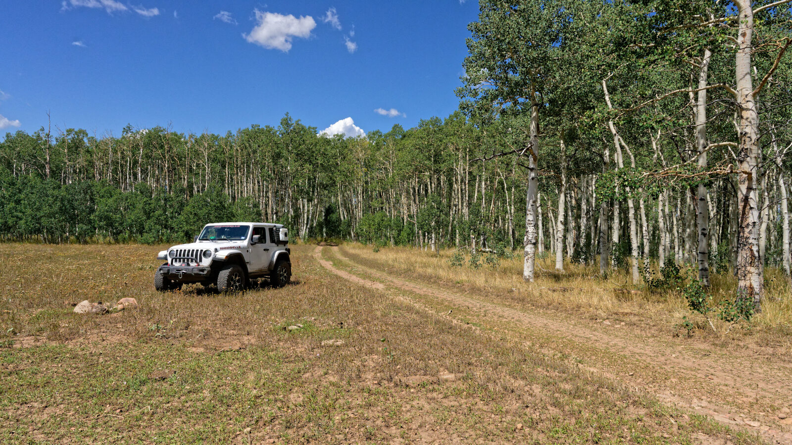
Waypoint 4 (40.41117, -111.26105)
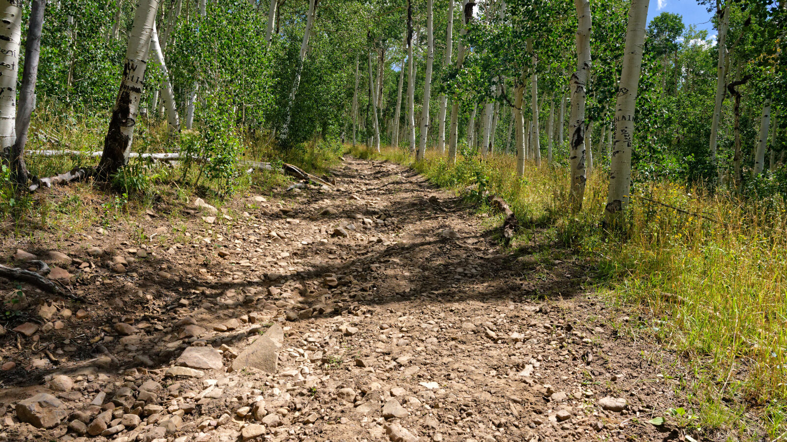
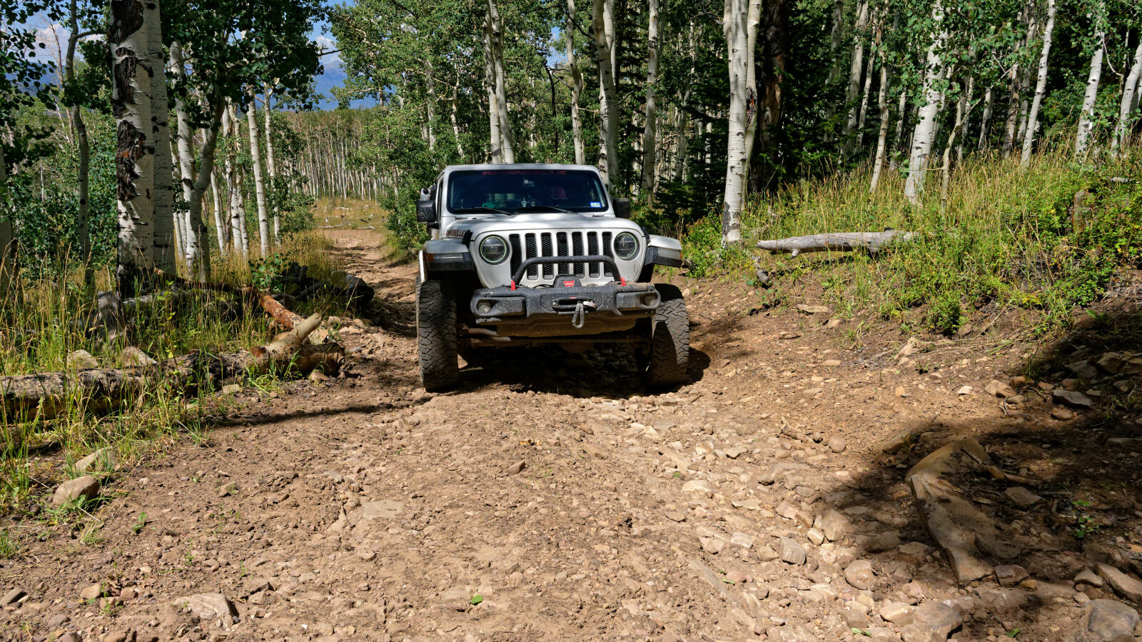
Waypoint 5 (40.41153, -111.25718)
Waypoint 6 (40.41012, -111.25321)
Waypoint 7 (40.40744, -111.24972)
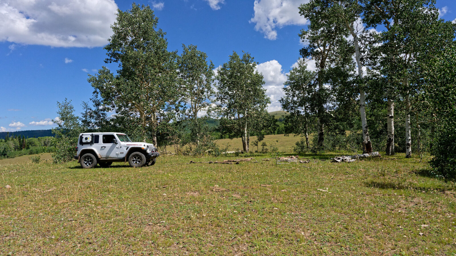
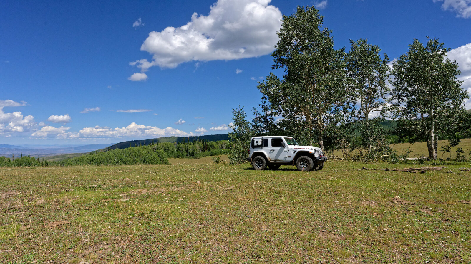
Waypoint 8 (40.40674, -111.24694)
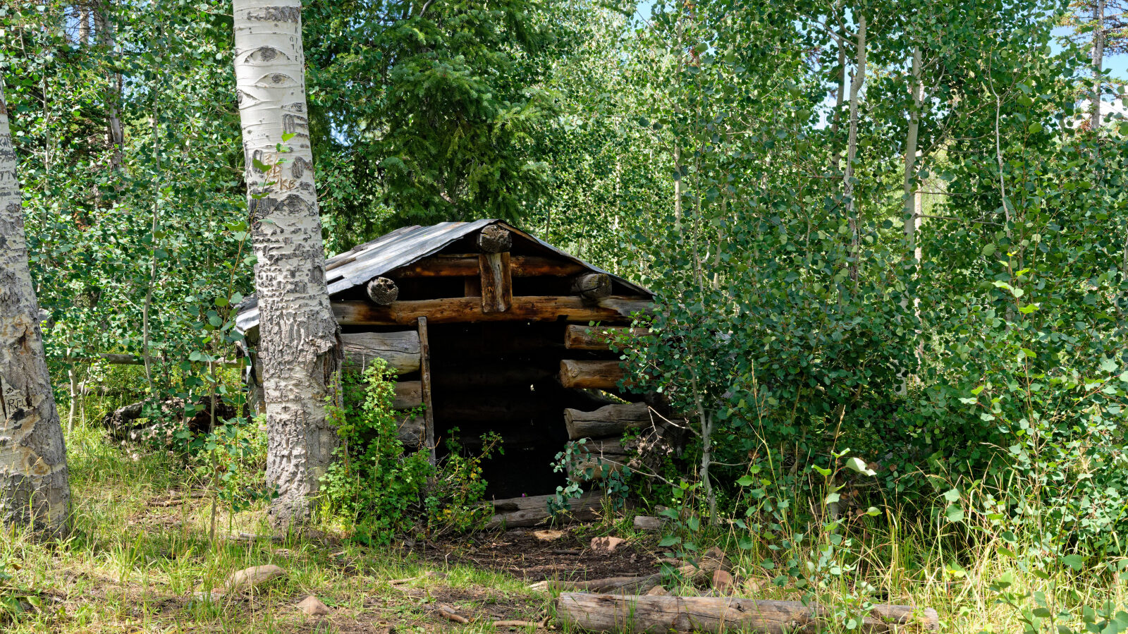
Waypoint 9 (40.40794, -111.24314)
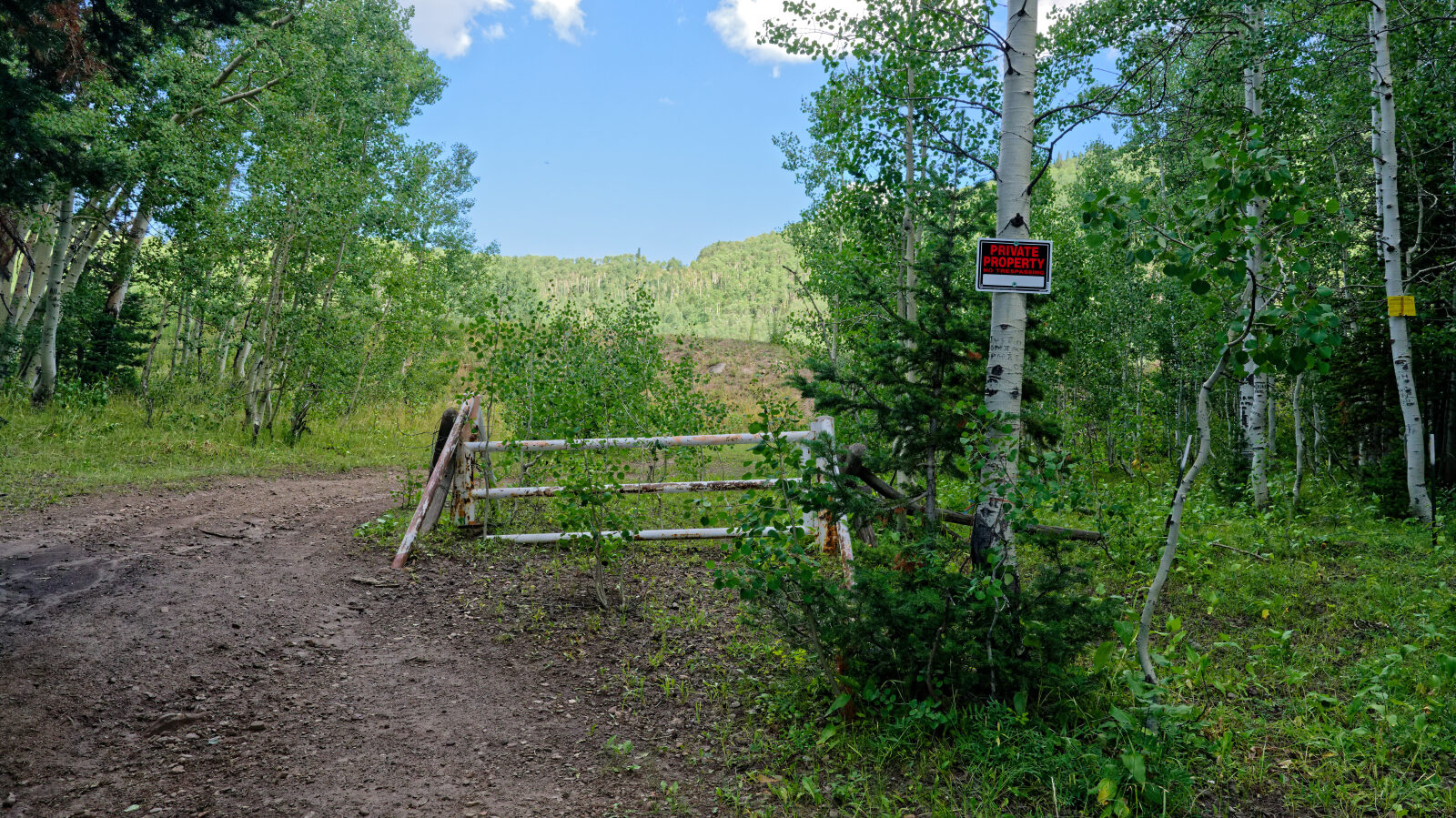
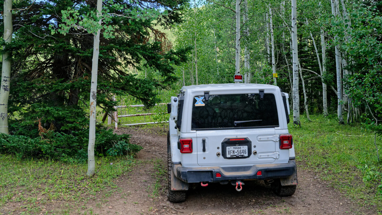
Waypoint 10 (40.42061, -111.23464)
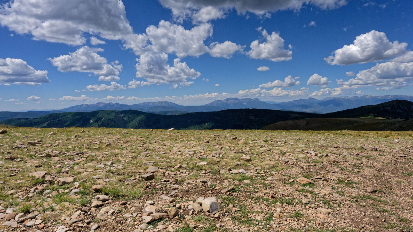
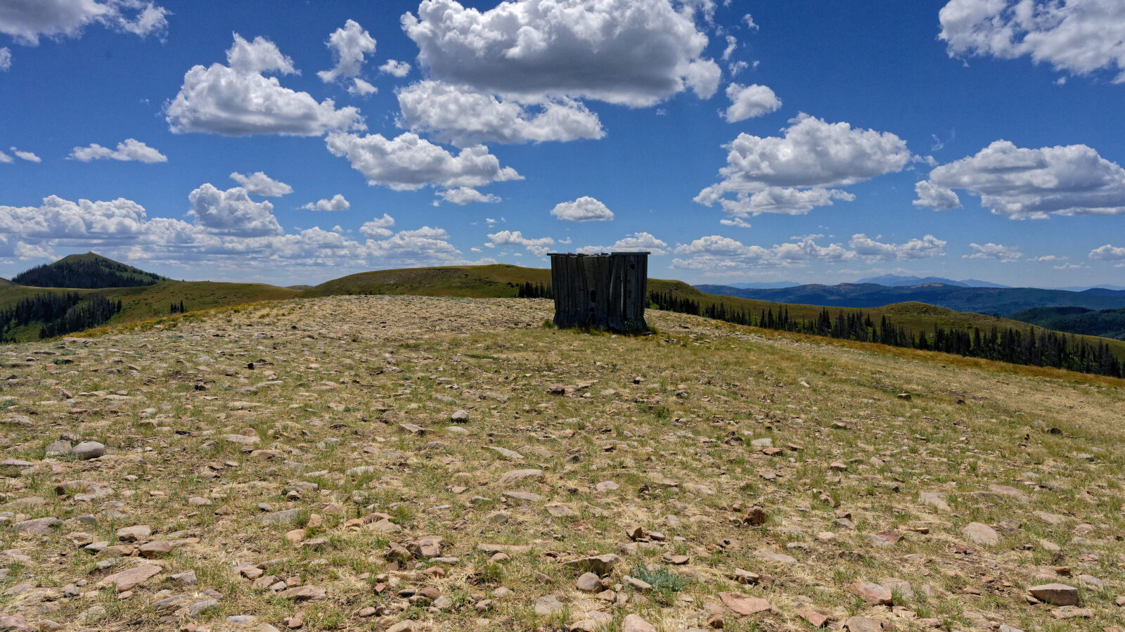
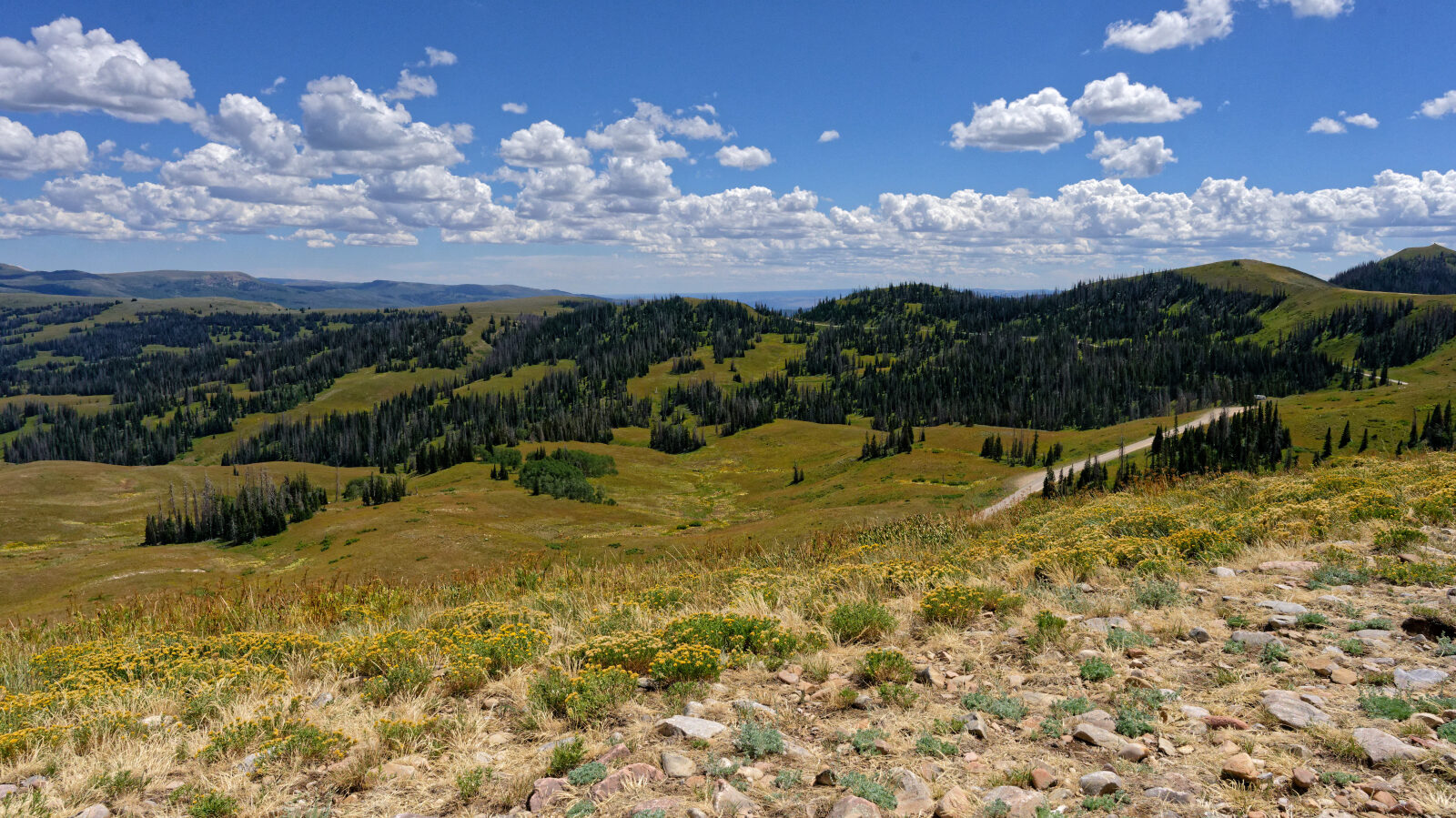
Waypoint 11 (40.40444, -111.18639)