High Mtn - Level 2
High Mountain Road 30281 climbs onto a high plateau on the Markagunt area of southern Utah, in Iron County, within Dixie National Forest. The route follows a Forest Service road through high-elevation timber and open meadows, and ends at a flat top with room to camp.
It is a quiet side road away from the main highways. It suits a relaxed day of exploring, or a night at the top.
Trail Summary
- LocationIron County, Utah
- Distance17.3 miles
- DifficultyLevel 2
- Elevation9,629 ft to 9,938 ft with a 309 ft change
- Travel Time1 hour 34 minutes
Difficulty
Typically suitable for high clearance 2WD
Level 2 is Easy. It is typically suitable for a high clearance 2WD vehicle, and stock equipment is sufficient. Expect dirt or rocky surface that is usually not maintained after rain or snow. Obstacles are under 9 inches, such as rocks, dips or ruts, and there may be shallow water crossings or small ledges under 12 inches. The road is typically one to two vehicles wide. The log does not call out any obstacles or sections needing special attention on this route.
Terrain
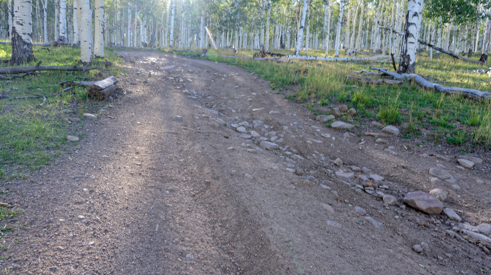
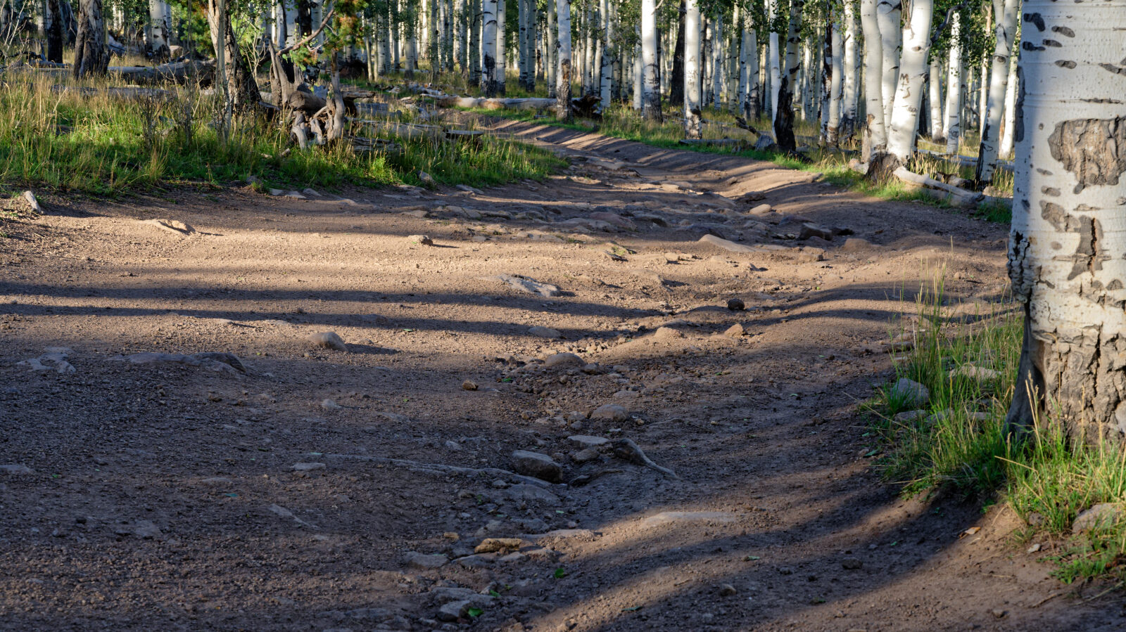
The road surface is dirt and gravel.
Highlights
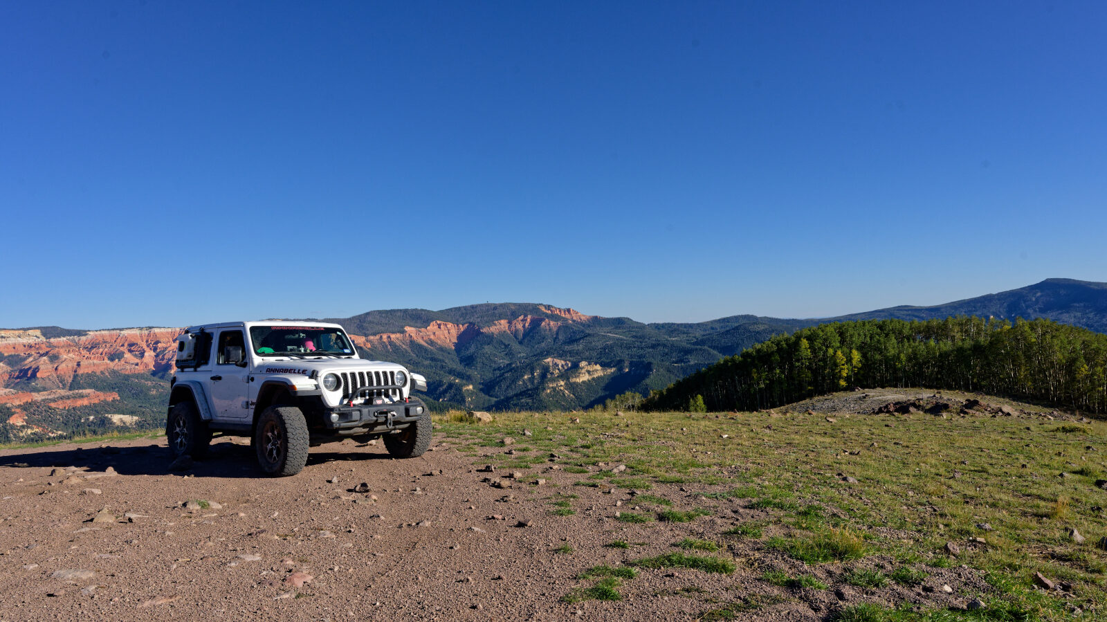
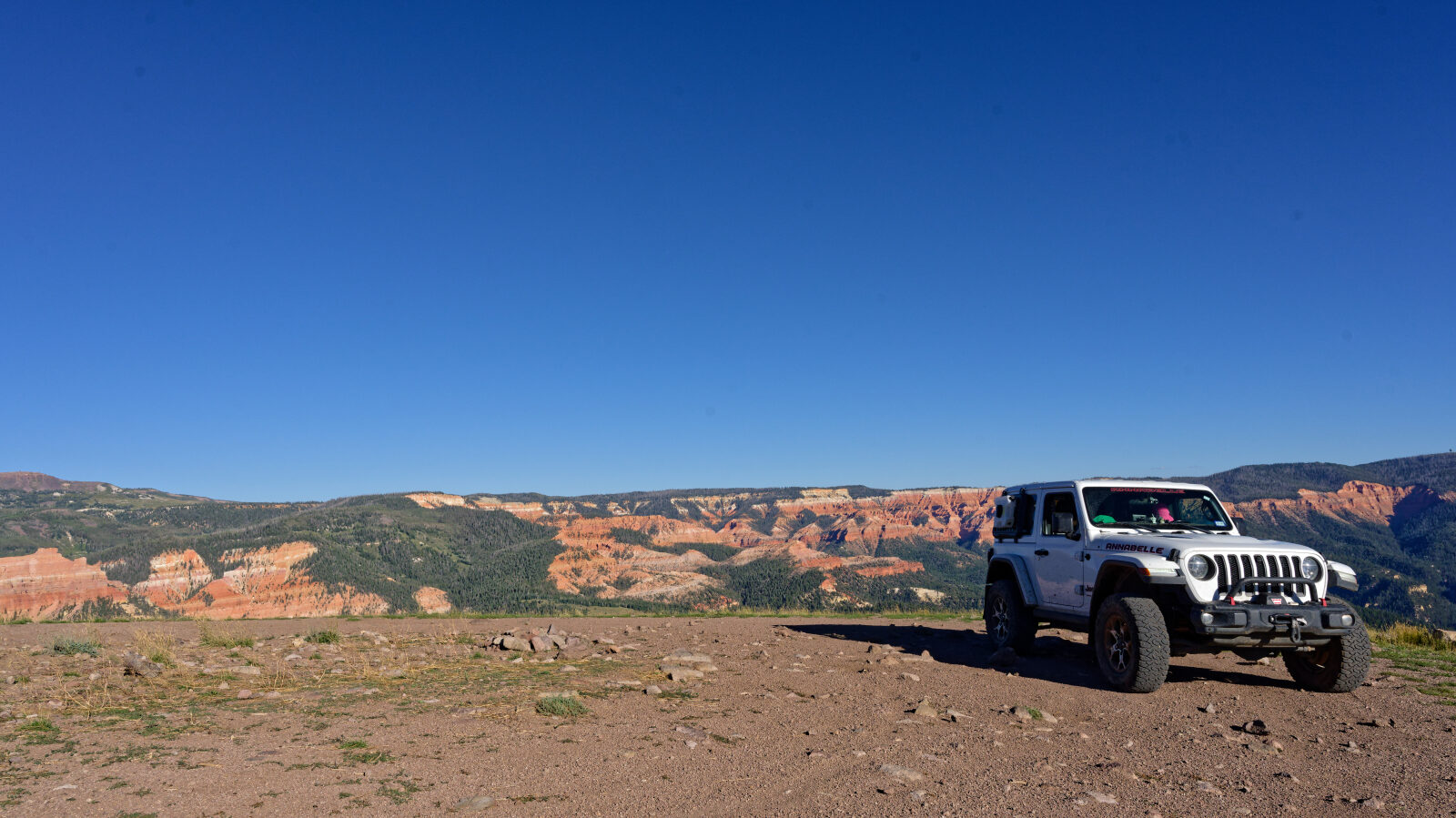
The top of the road has camping space. The log notes it can hold three to four rigs, and a trailer can be brought up if the driver can get it that far.
Map
The interactive map needs JavaScript. Every waypoint is also listed below.
Waypoints
Waypoint 1 (37.67871, -112.90458)
This is the start of High Mountain Road 30281.
Waypoint 2 (37.66755, -112.91438)
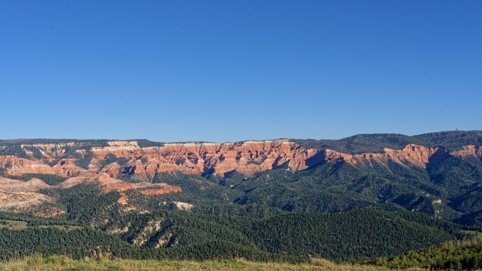
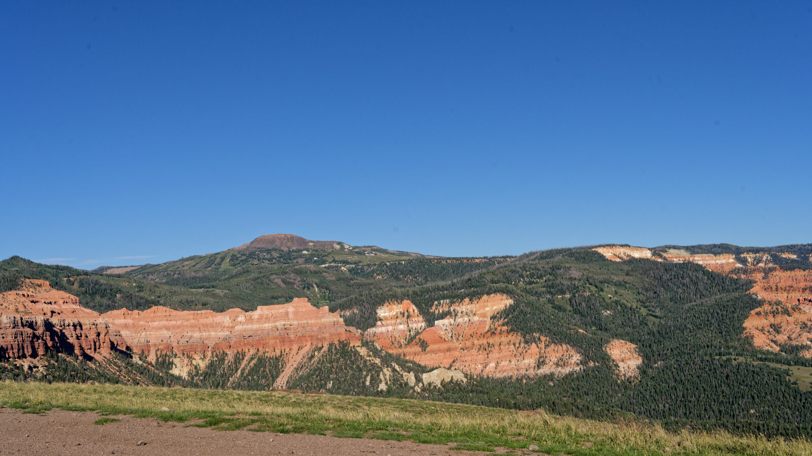
This is the top of High Mountain Road 30281. There is camping here, with room for three to four rigs, including a trailer if you can get it up.