Lambert Burn - Level 2
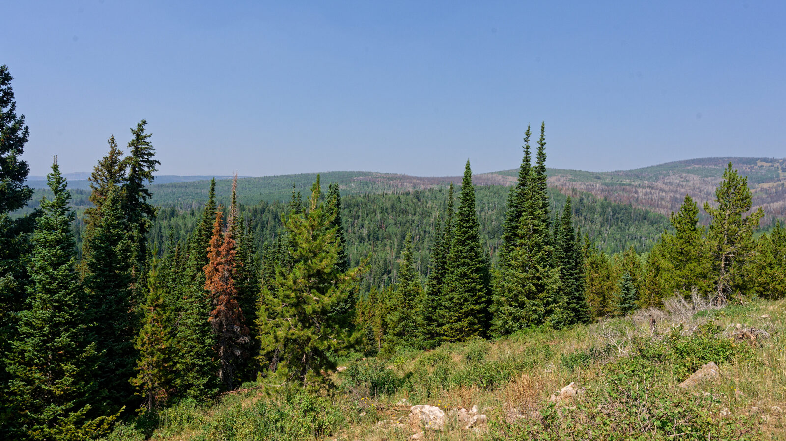
Lambert Burn is a short forest road in the high country of Wasatch County, Utah, in the Uinta-Wasatch-Cache National Forest, in the Uinta Mountains foothills east of the Wasatch Front. It sits at the upper end of the Strawberry and Currant Creek drainages area, where aspen and conifer stands are mixed with open meadows.
The route works well as a quick side trip or a place to get off the pavement without committing to a long day. It is a good option for exploring the area at a relaxed pace.
Trail Summary
- LocationWasatch County, Utah
- Distance1.4 miles
- DifficultyLevel 2
- Elevation8,865 ft to 9,153 ft with a 288 ft change
- Travel Time27 minutes
Difficulty
Typically suitable for high clearance 2WD
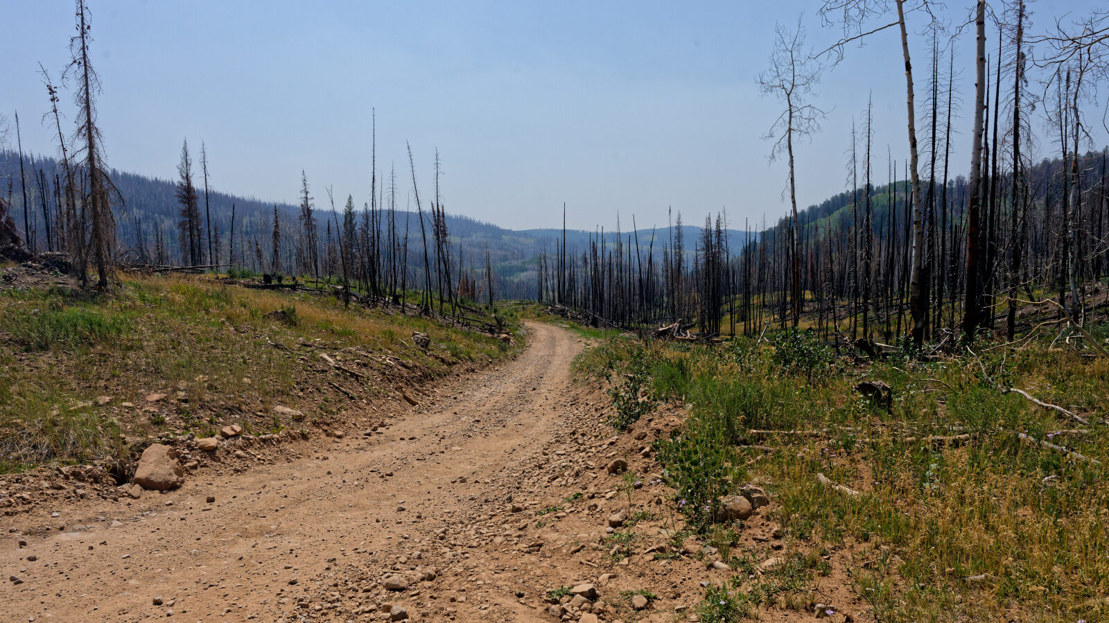
This trail is rated Easy (level 2), which is typically suitable for high clearance 2WD vehicles. Stock equipment is sufficient, but the surface will likely test tire traction and ground clearance. Expect dirt or rocky road with dips, ruts or rocks under 9 inches, and possibly small ledges or shallow water under 12 inches. The road is typically one to two vehicles wide and is often unmaintained after rain or snow. The driver's log does not call out any specific obstacles.
History
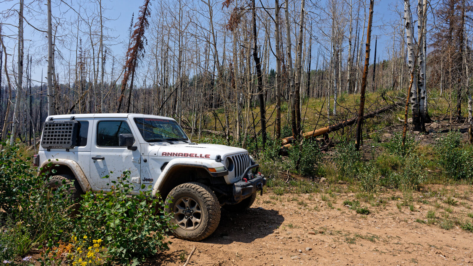
The trail is named after a past wildfire, according to the driver.
Map
The interactive map needs JavaScript. Every waypoint is also listed below.
Waypoints
Waypoint 1 (40.54912, -111.00103)
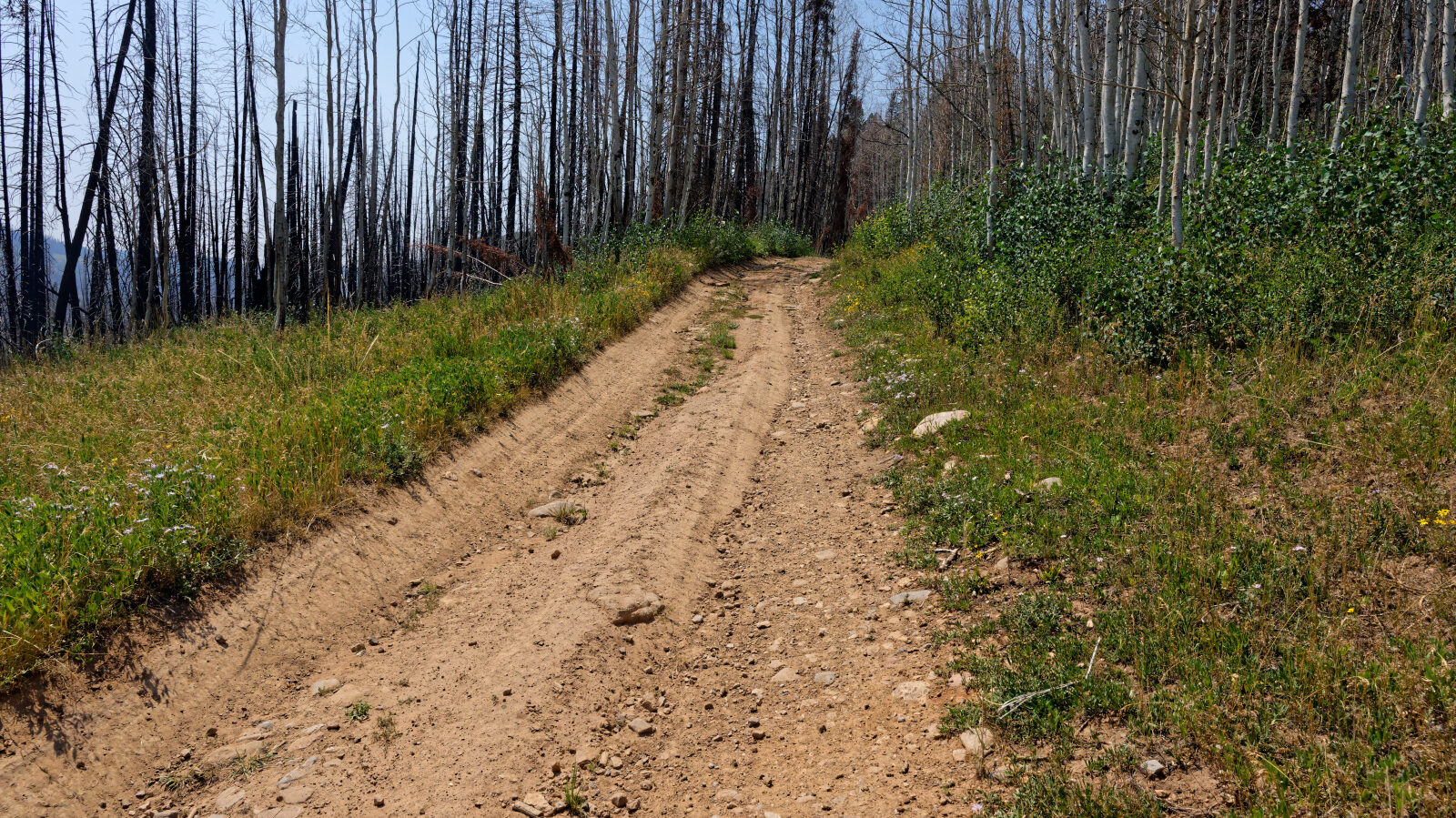
Waypoint 2 (40.55021, -111.00154)
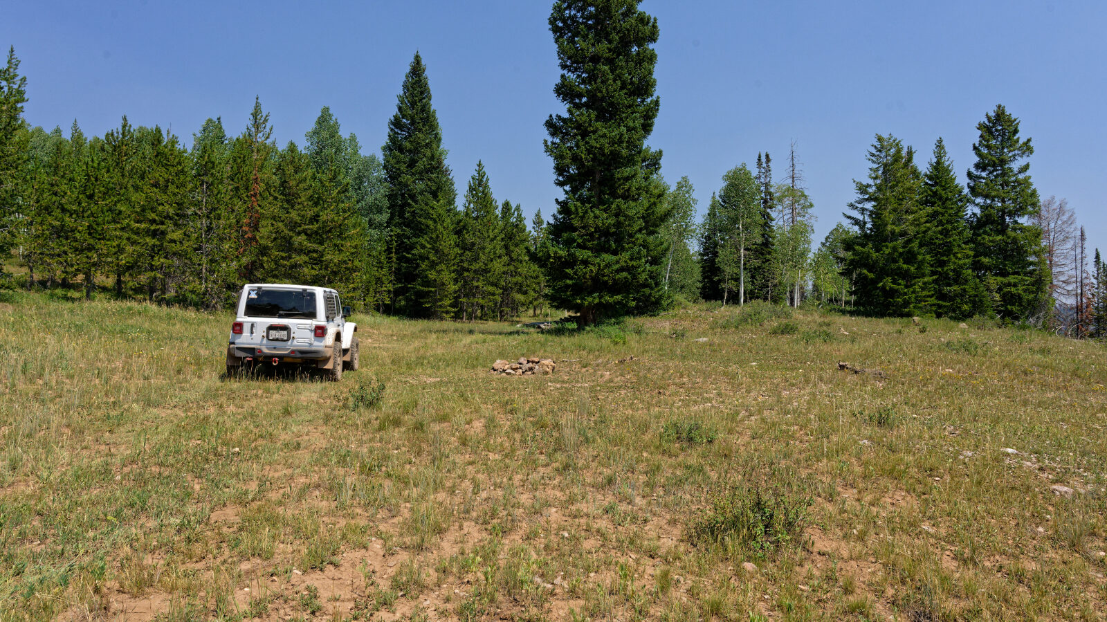
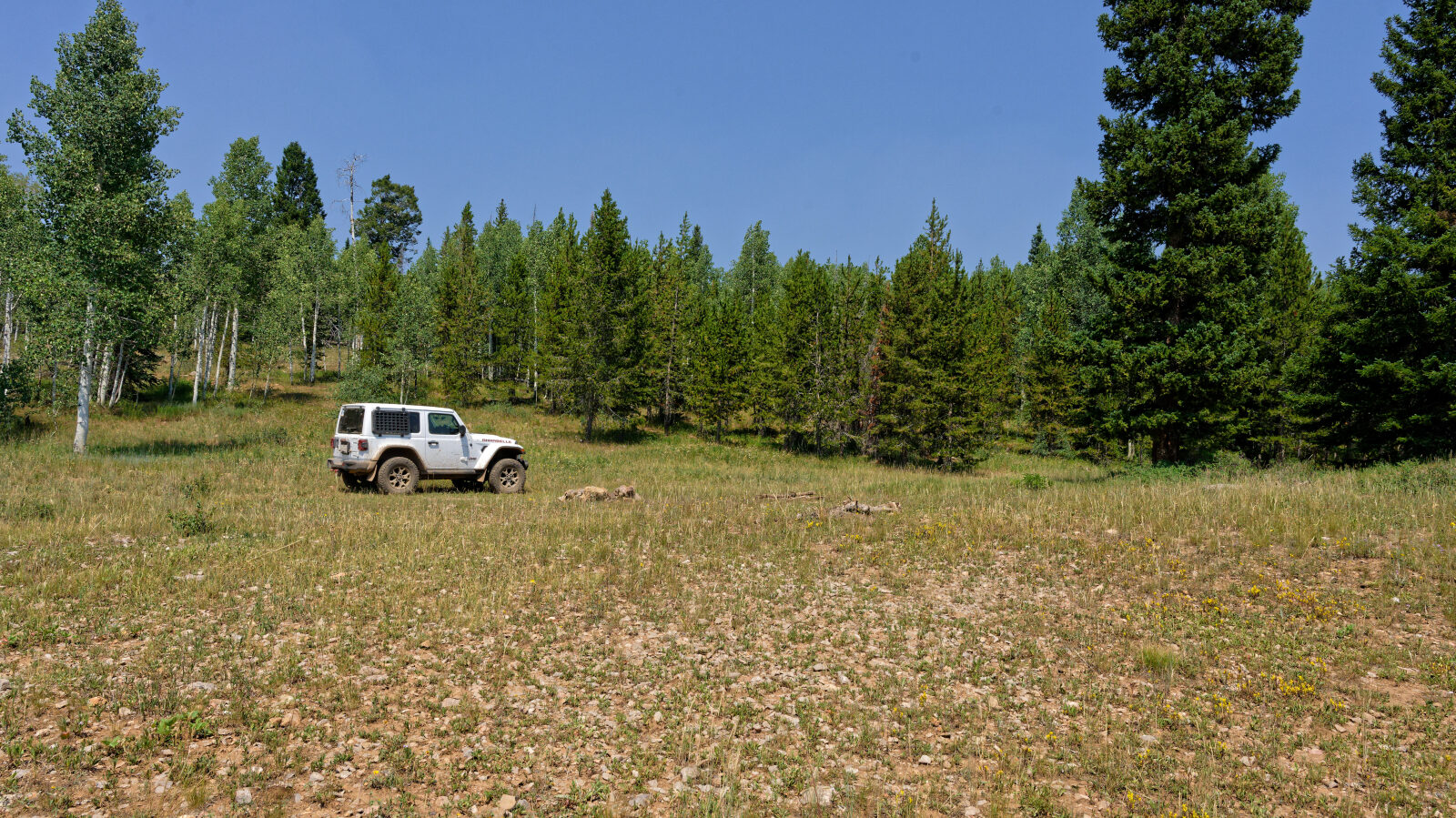
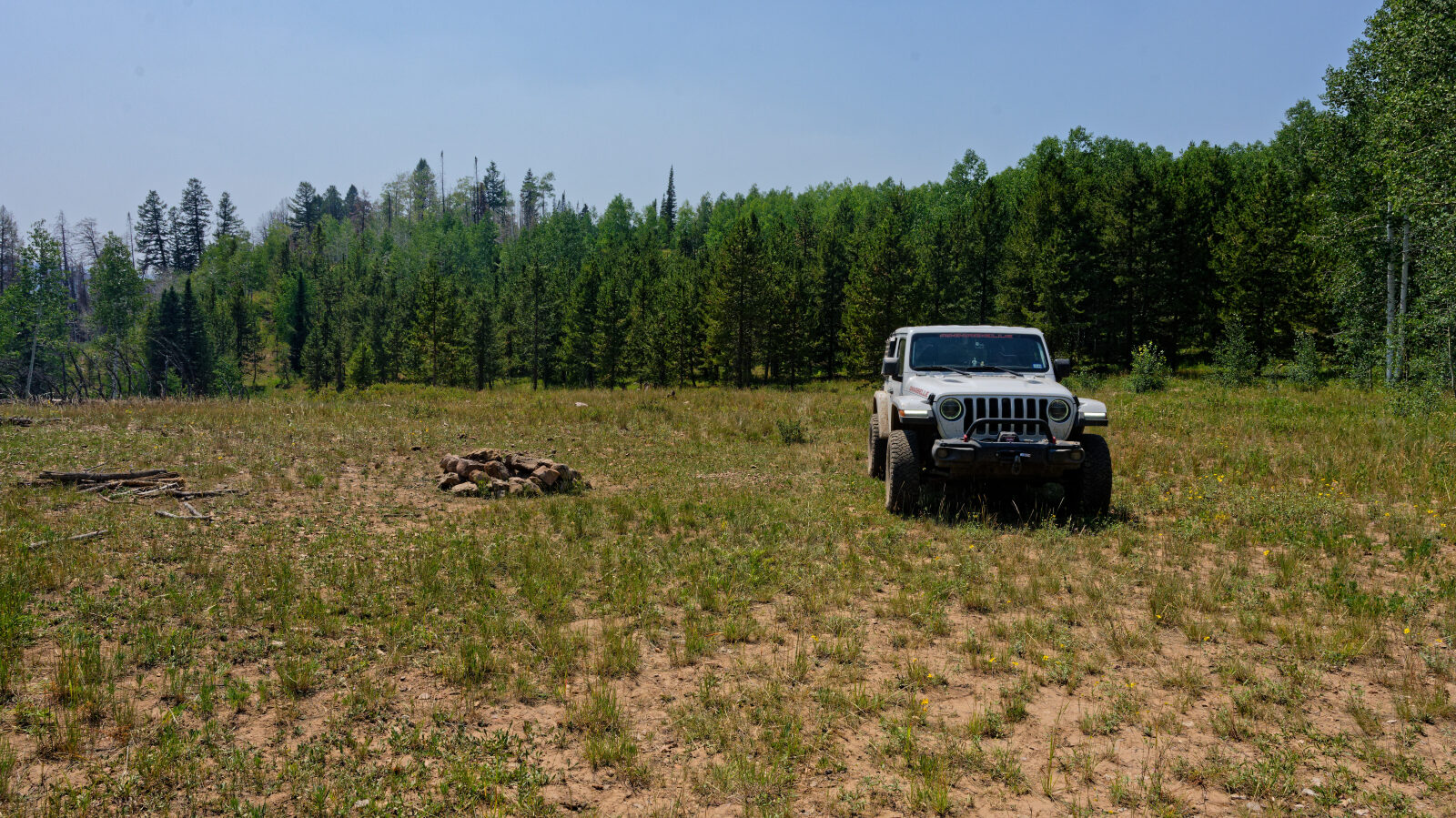
Waypoint 3 (40.55110, -111.00658)
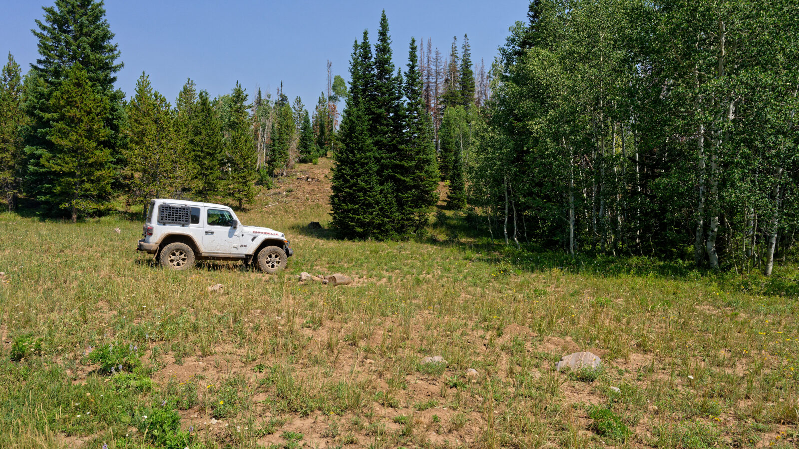
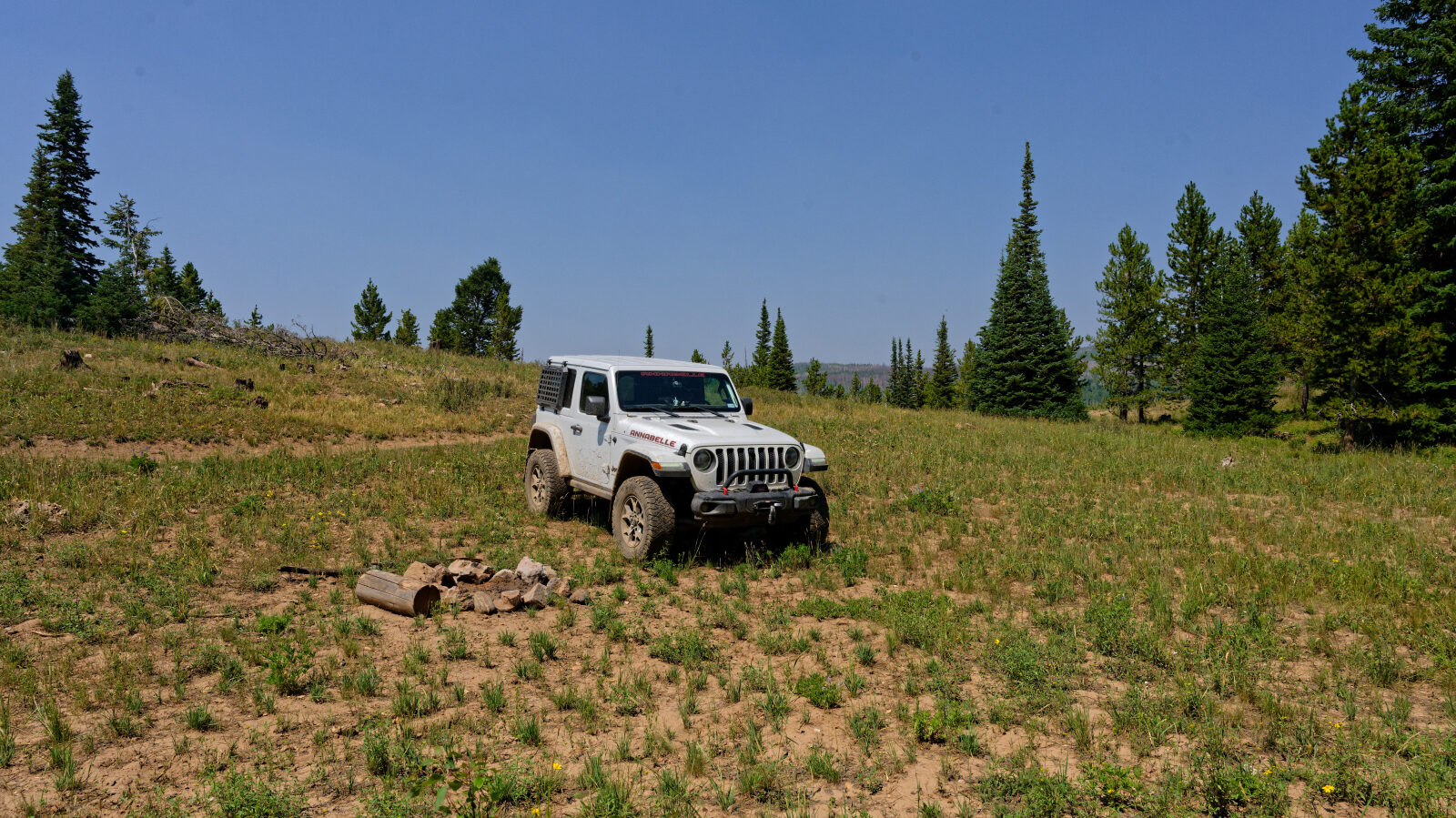
Waypoint 4 (40.54996, -111.01378)
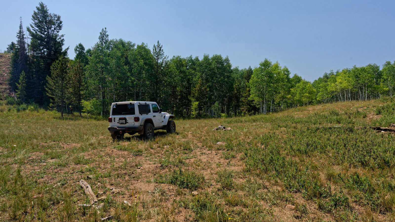
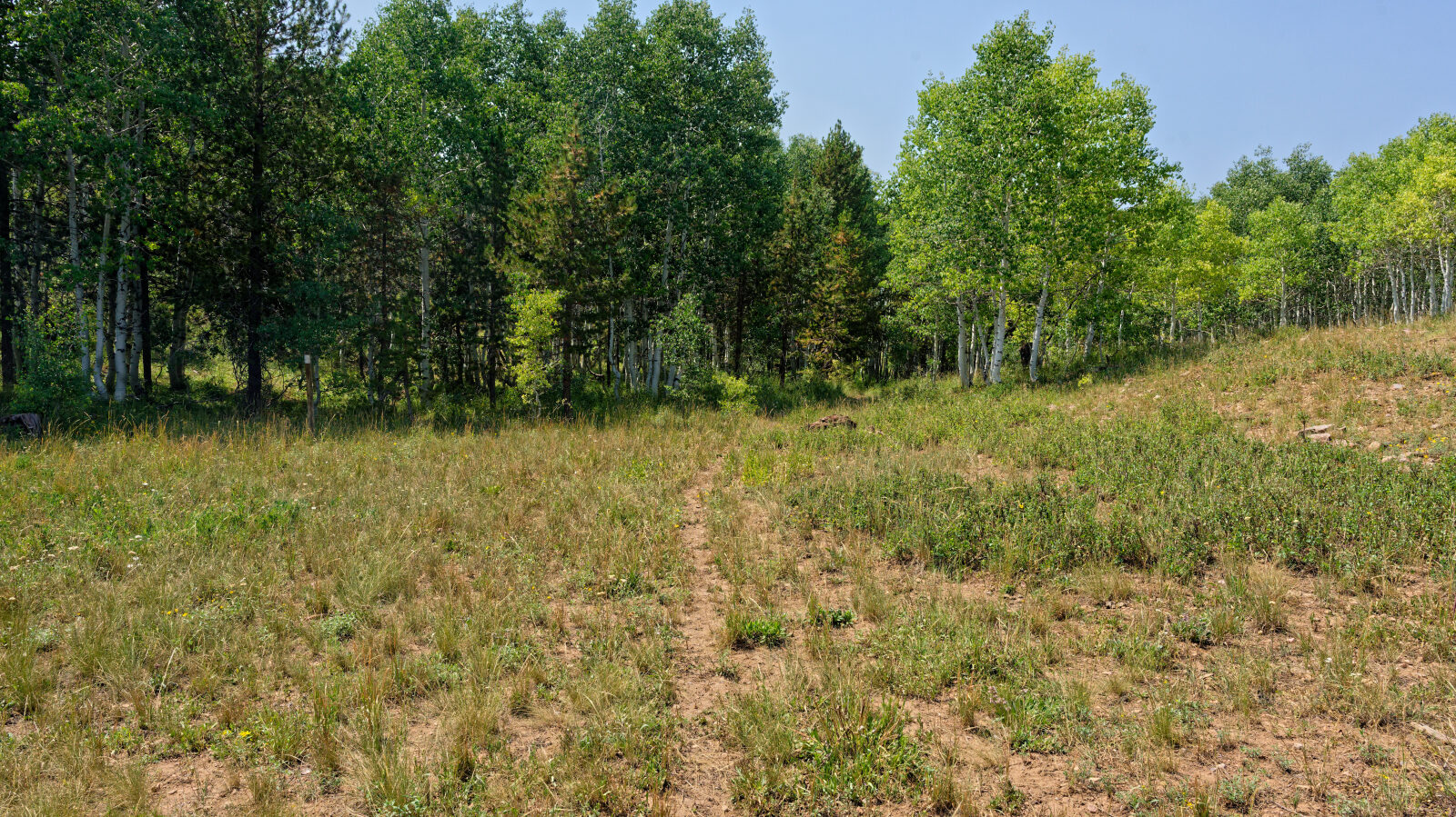
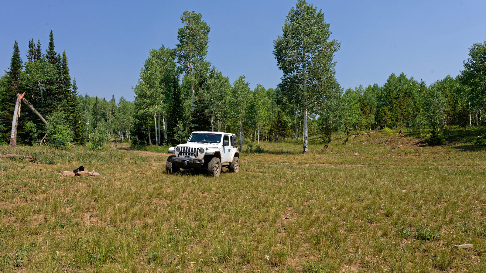
Waypoint 5 (40.54770, -111.01782)