Lambert Hollow - Level 3
Lambert Hollow is an unmaintained forest road in the Uinta Mountains east of Kamas and Woodland, Utah. It starts among the dispersed camps in the Soapstone Basin area and climbs a tributary drainage of Soapstone Creek toward the flanks of Iron Mine Mountain.
The road runs through meadows and then up into timber. It ends abruptly. An older route that continued up Iron Mine Mountain is now closed to motor vehicles, so plan on turning around at the end.
Trail Summary
- LocationWasatch County, Utah
- Distance4.7 miles
- DifficultyLevel 3
- Elevation8,539 ft to 10,394 ft with a 1,855 ft change
- Travel Time53 minutes
Difficulty
Best suited for a high clearance 4x4
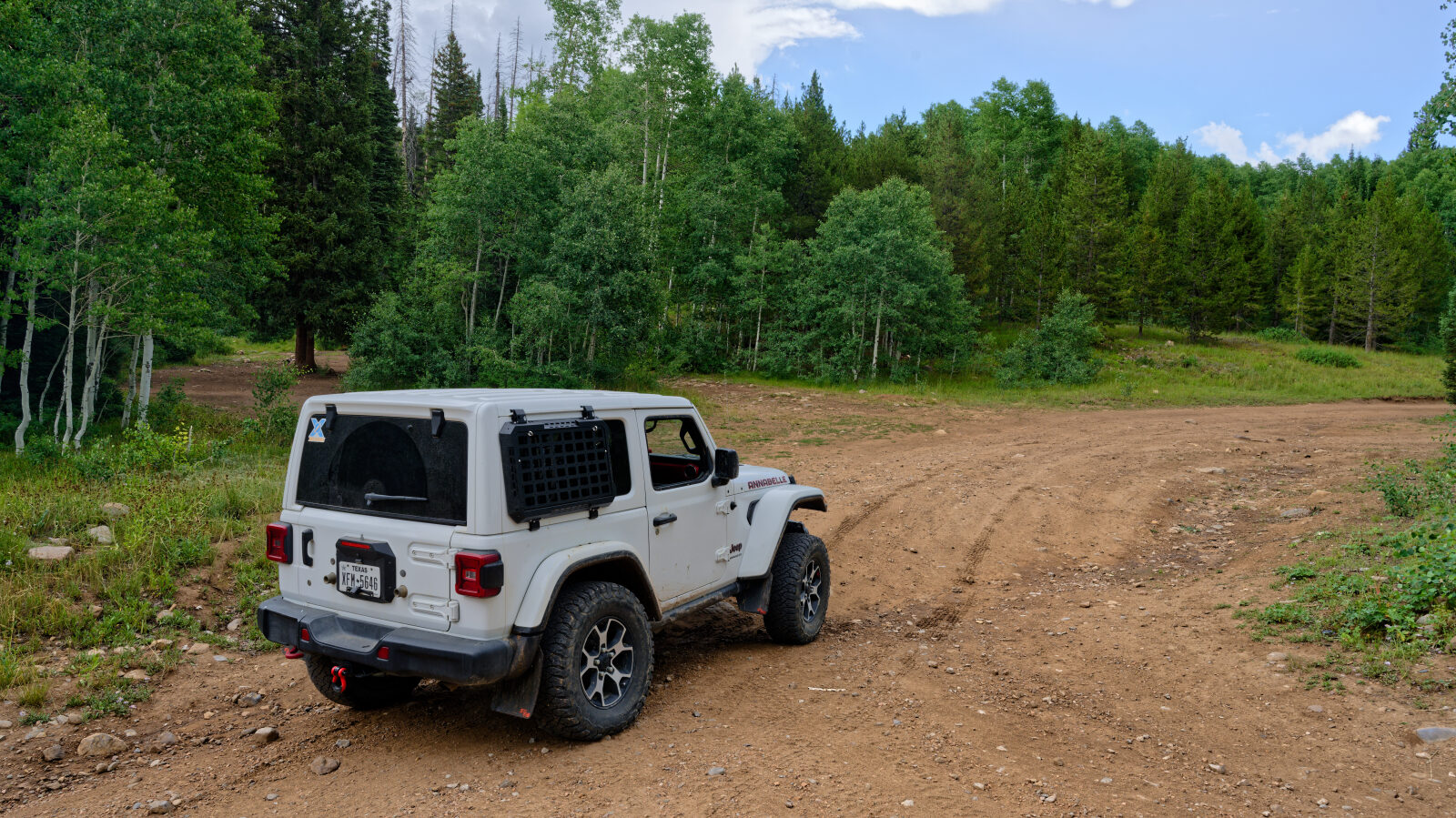
This trail is rated Moderate, level 3, which suits a stock high clearance 4x4 with all-terrain tires. Expect uneven, rutted dirt with loose rock and some exposed rock where runoff has cut the road. Obstacles should stay under about 12 inches, such as small ledges, short steep pitches and shallow water, and careful tire placement may be needed in places. The road is generally one vehicle wide with spots to pass. The driver's log does not call out any specific obstacle. Other sources suggest low range helps when the rocks are wet and slick.
Terrain
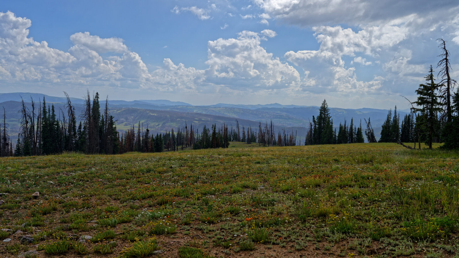
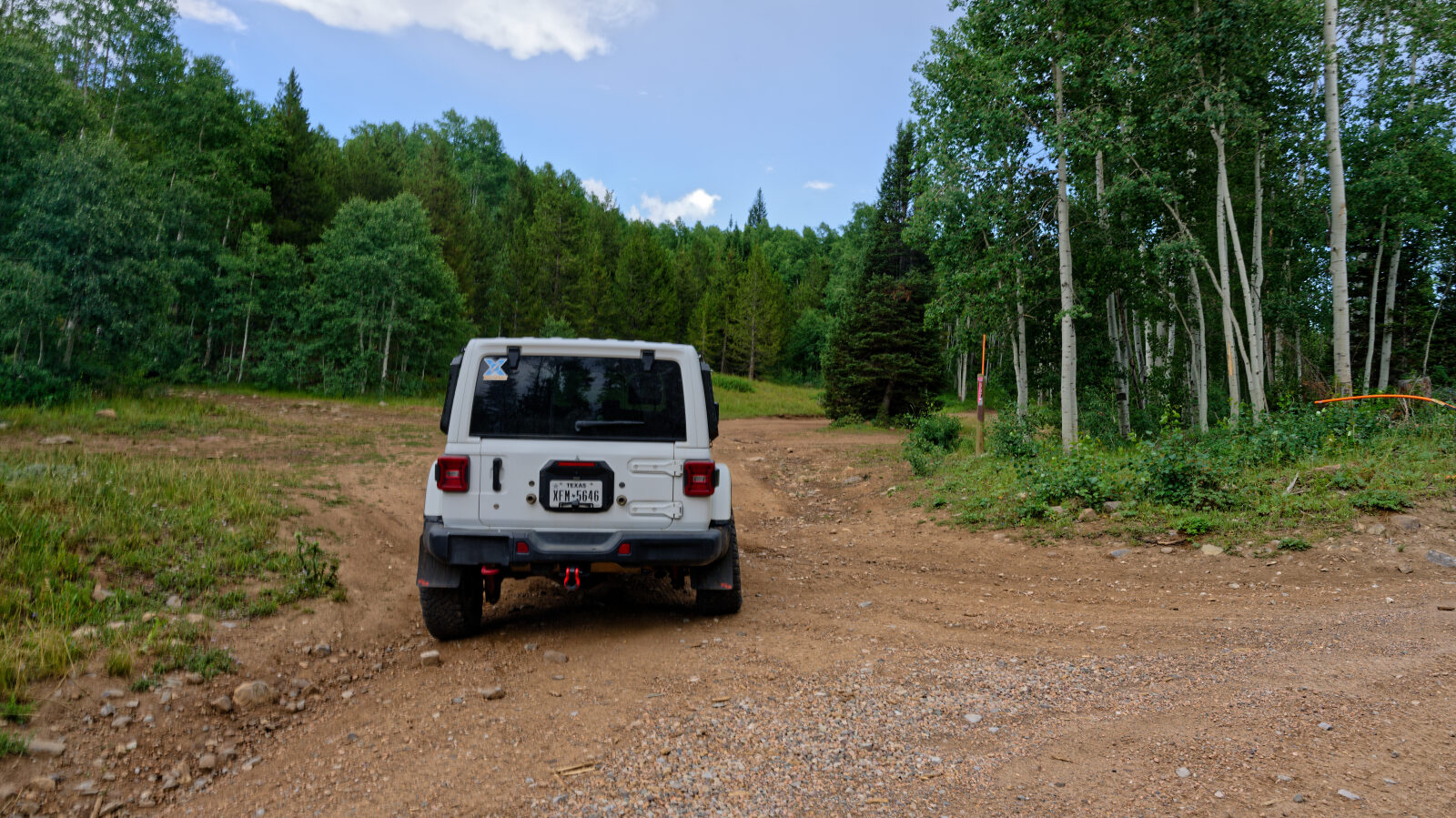
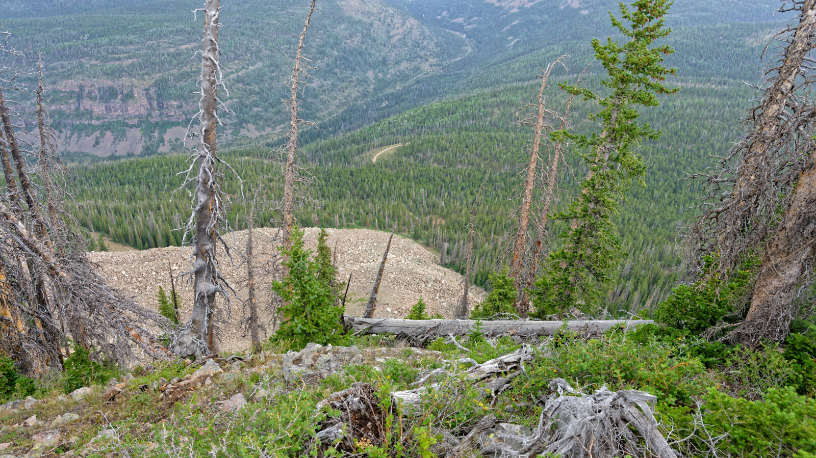
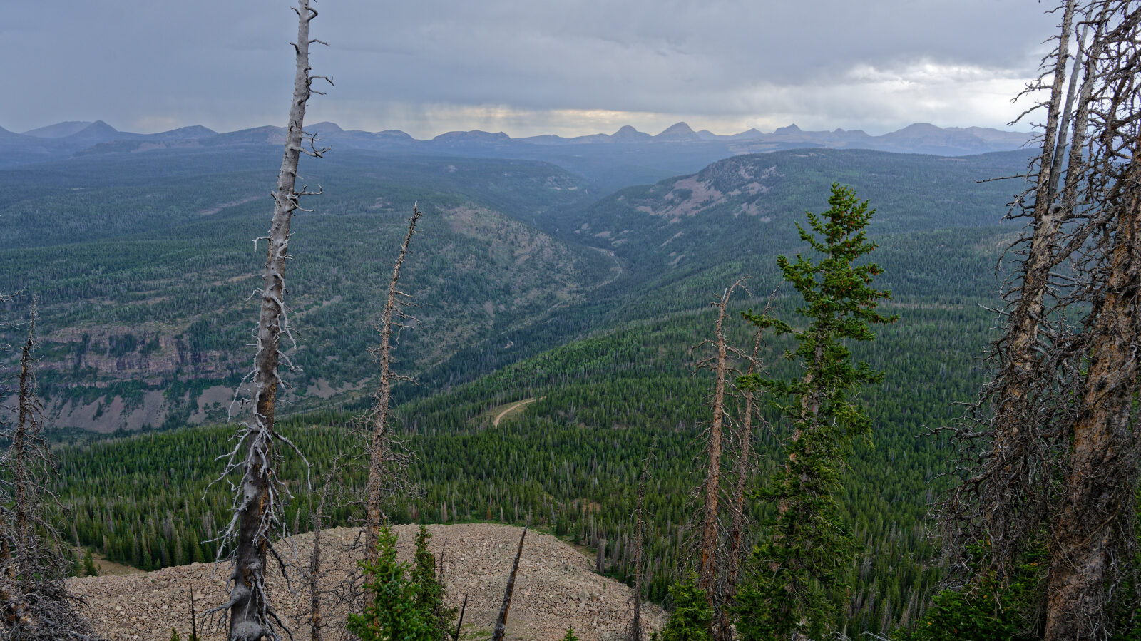
The route follows a dirt and rock forest road. Most of it is rough but straightforward, with patches where water runoff has exposed rock and cut ruts into the surface. It climbs from open meadows near Lambert Meadows into aspen, fir and spruce forest on the south side of the Uinta range. The road narrows toward the top and dead ends. Expect mud and slick rock after rain.
Highlights
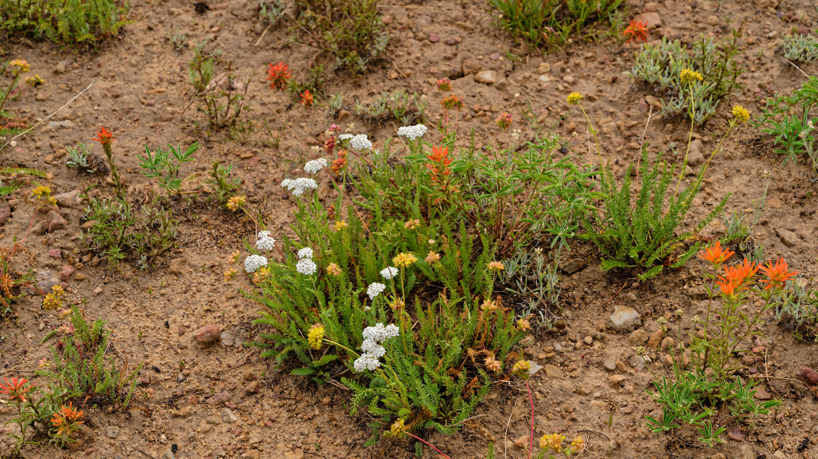
Iron Mine Mountain, a broad peak with a summit a little above 10,400 feet, sits just above the end of the road. Wildflowers and aspen groves in the Soapstone Basin area are at their best in early summer. Primitive camping is available near the start, and the area is also used by mountain bikers and ATV riders, so expect other traffic on summer weekends. The road is closed to wheeled vehicles in winter and is used by snowmobiles.
Trail GPS File
Map
The interactive map needs JavaScript. Every waypoint is also listed below.
Waypoints
Waypoint 1 (40.55538, -111.03088)
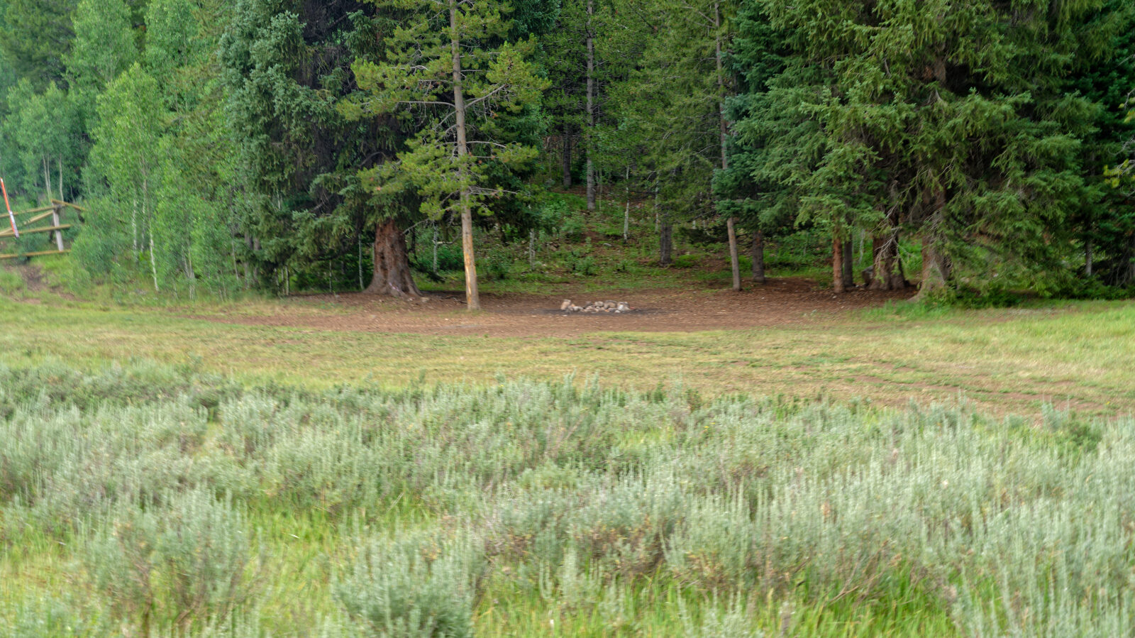
Waypoint 2 (40.55364, -111.02815)
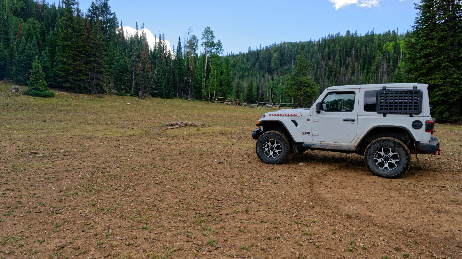
Waypoint 3 (40.55528, -111.01854)
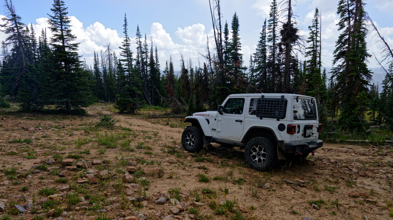
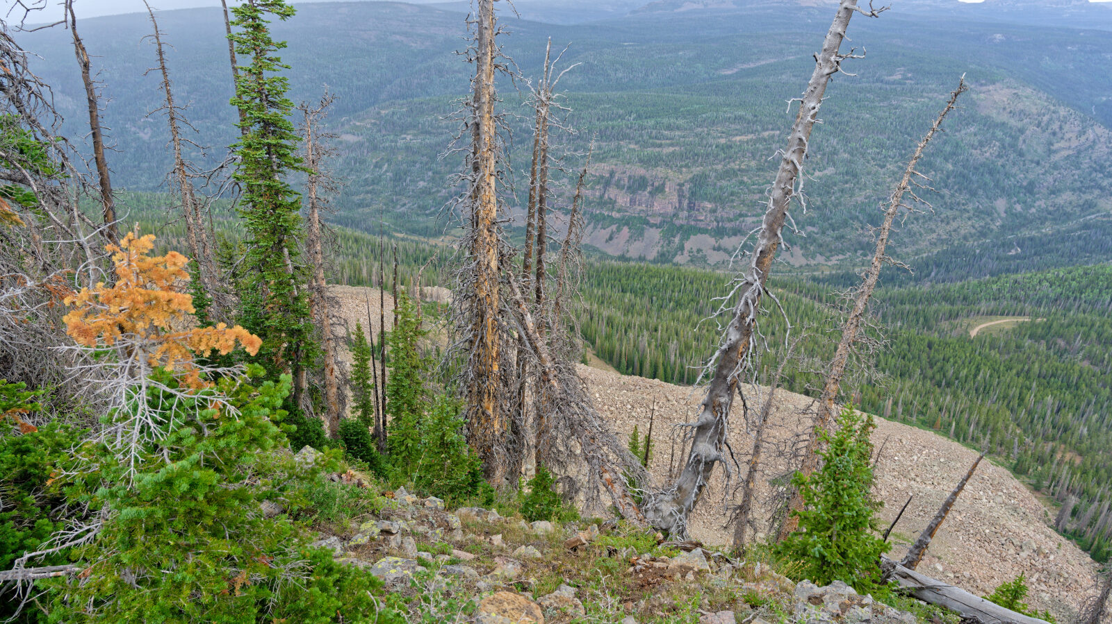
Waypoint 4 (40.57597, -110.97747)