Little Pond Road - Level 1
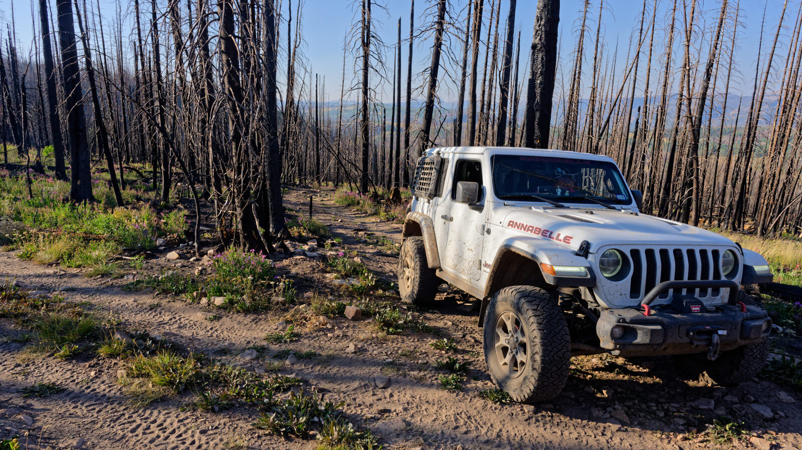
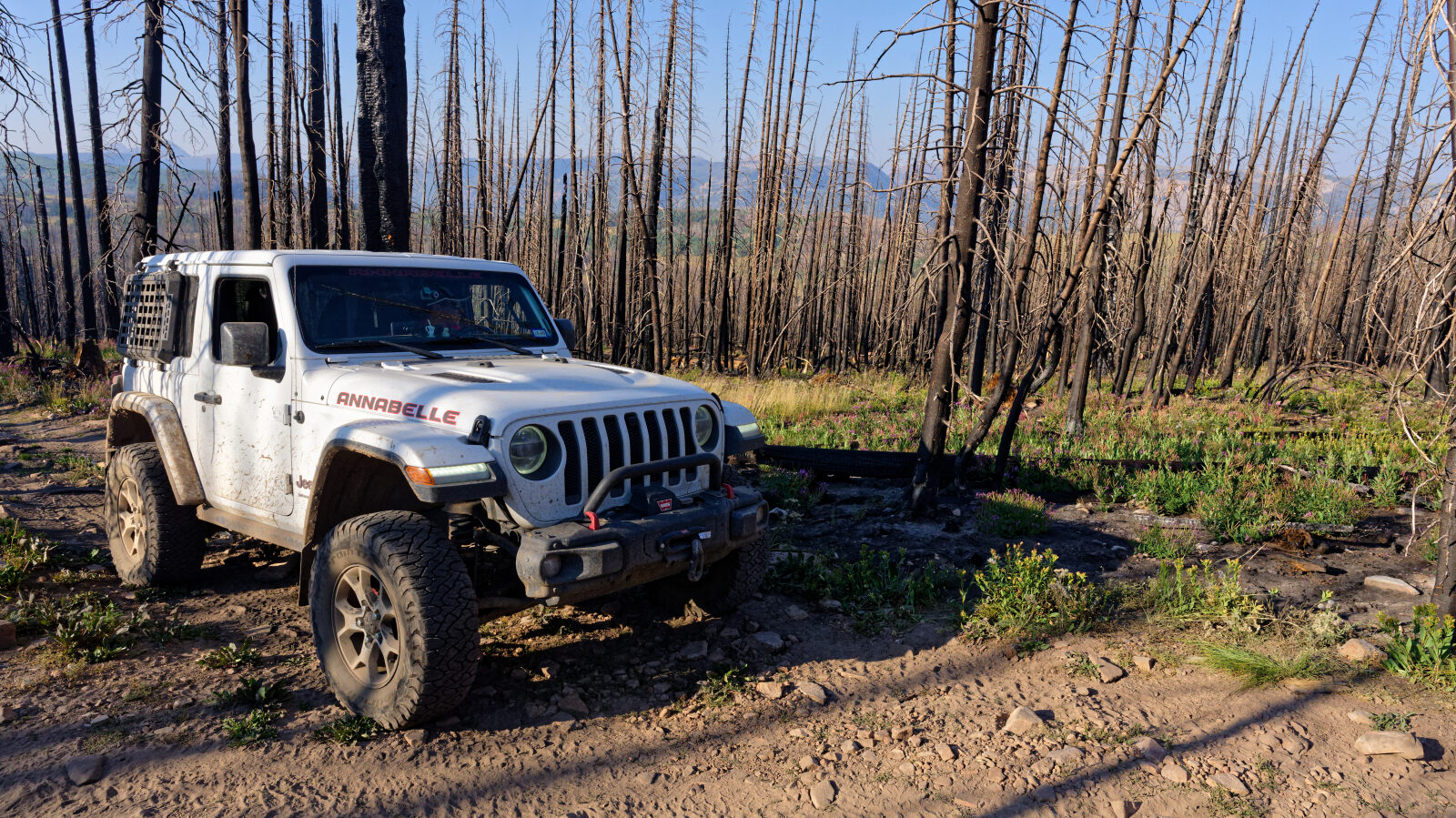
Little Pond Road is a short backcountry route in Wasatch County, in the high country of northeastern Utah. It runs through Uinta-Wasatch-Cache National Forest in a high-elevation setting and suits a relaxed outing for stock vehicles.
The road works as a simple drive on its own or as a way to reach dispersed camping and fishing spots in the area. Expect quiet conditions on weekdays, with more traffic on summer weekends and during hunting seasons.
Trail Summary
- LocationWasatch County, Utah
- Distance2.1 miles
- DifficultyLevel 1
- Elevation9,705 ft to 10,027 ft with a 322 ft change
- Travel Time28 minutes
Difficulty
Suitable for high clearance 2WD
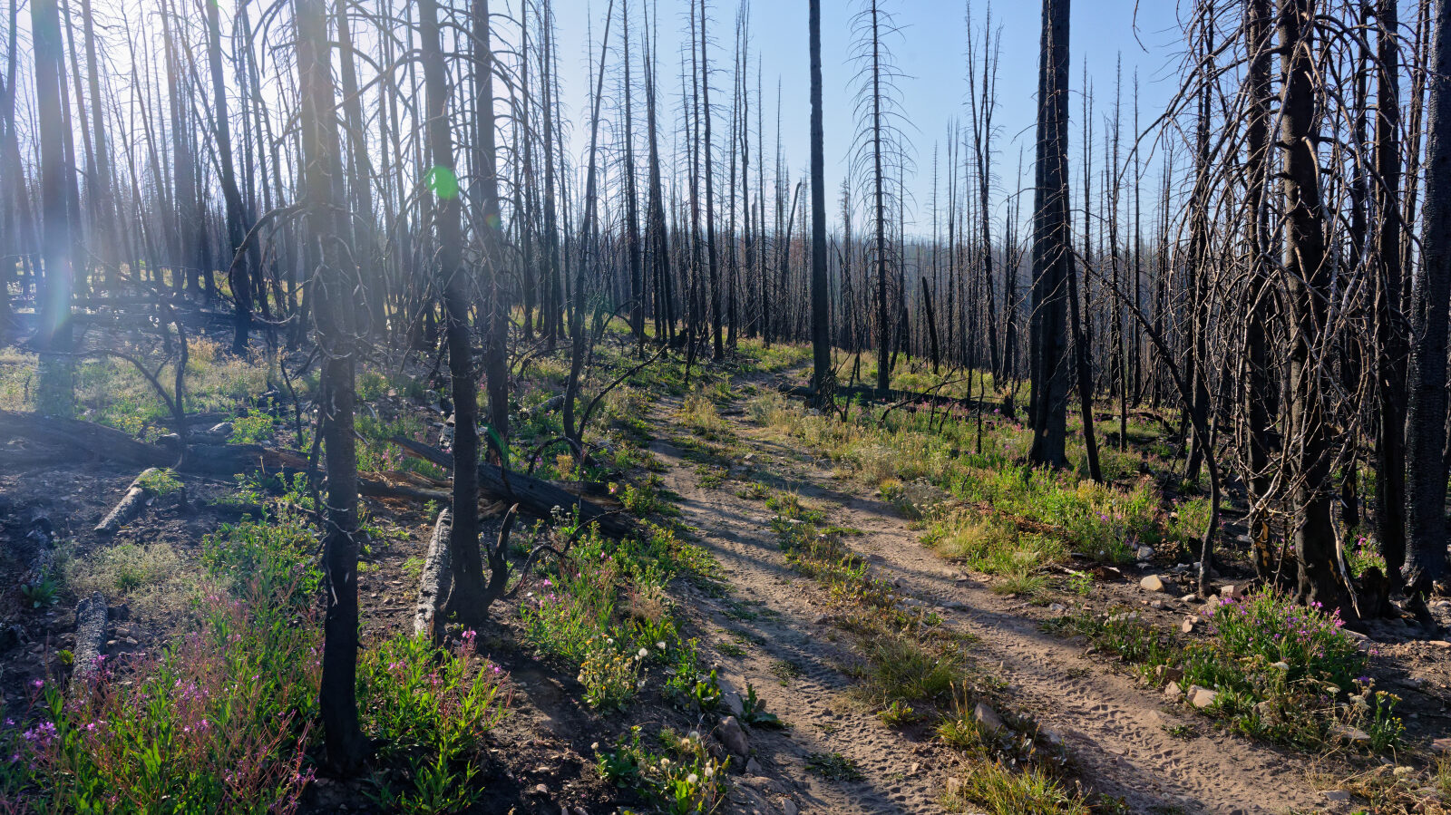
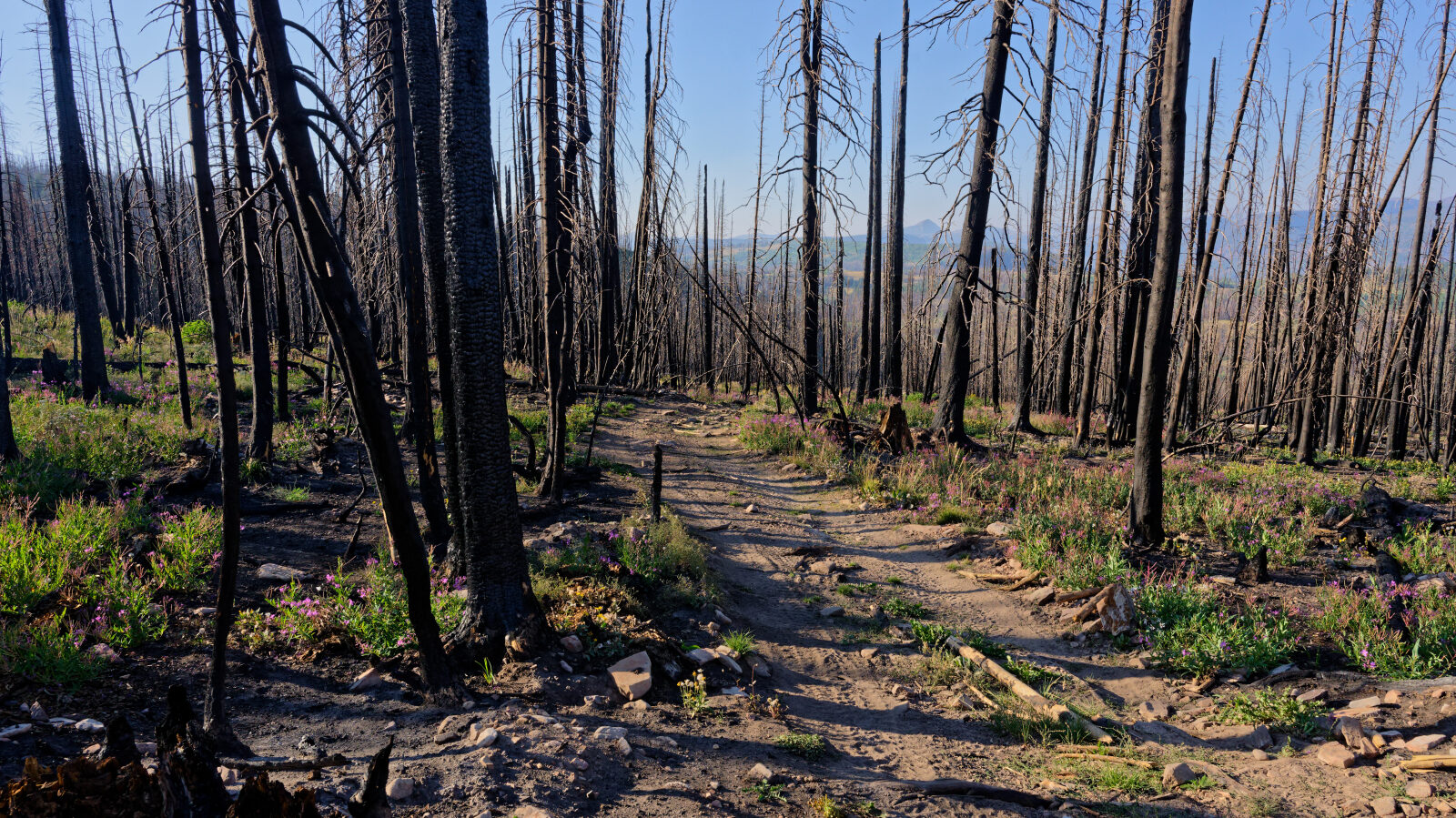
Level 1 is an easy rating. It is suitable for high clearance 2WD vehicles, and stock equipment is enough with no special gear needed. Expect dirt or rocky road with obstacles under 5 inches, such as small rocks, dips or ruts, and slight grades with good traction. The road is typically two vehicles wide. The driver's log does not call out any obstacles or sections needing special attention.
Terrain
The surface is dirt and is rocky in places. The road runs through high-elevation forest country in the Uinta-Wasatch-Cache National Forest.
Highlights
The route offers views along the way.
Map
The interactive map needs JavaScript. Every waypoint is also listed below.
Waypoints
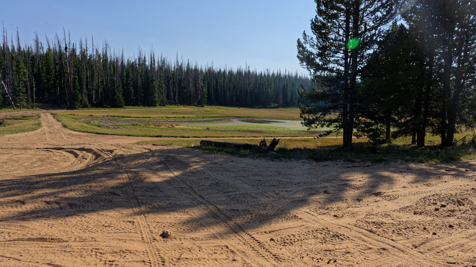
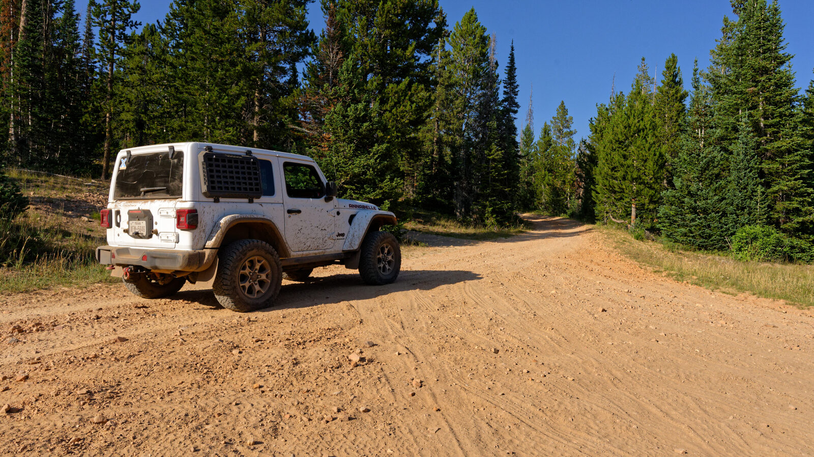
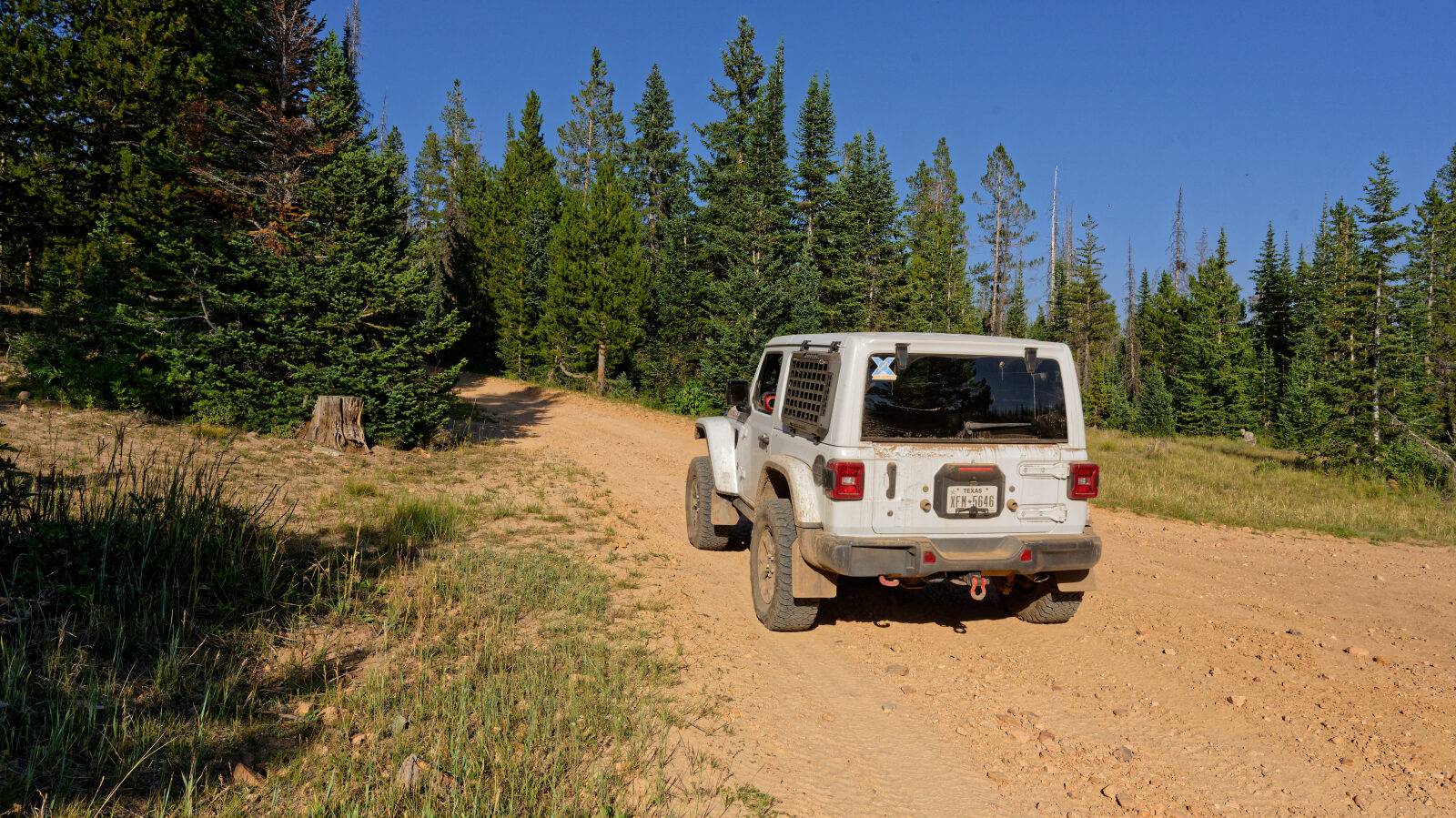
Waypoint 1 (40.50292, -110.93954)
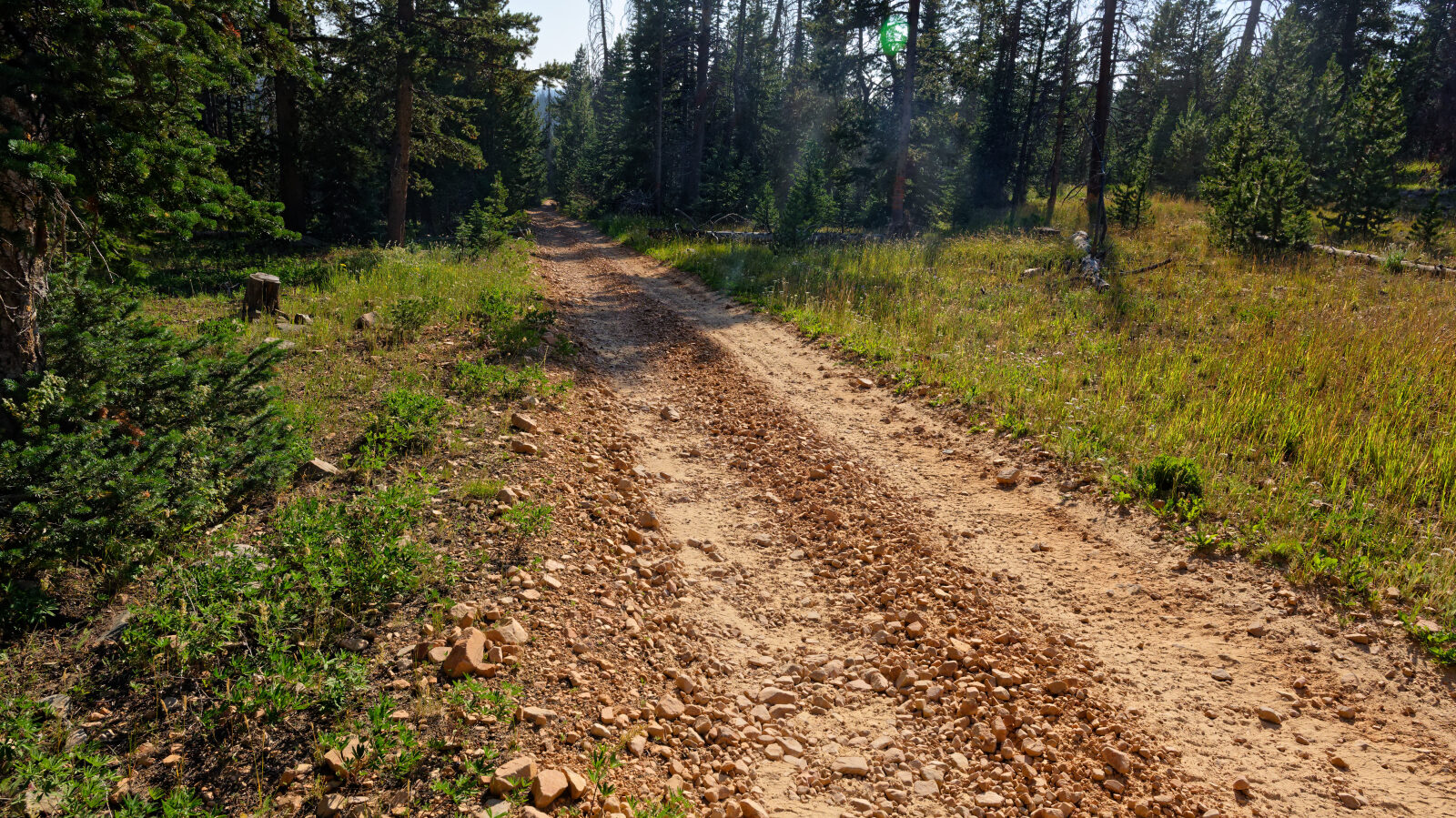
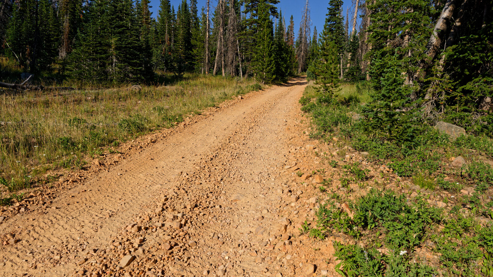
Waypoint 2 (40.50562, -110.93577)
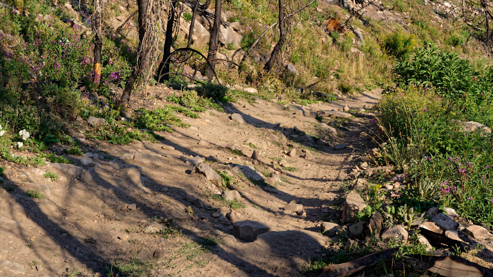
Waypoint 3 (40.50589, -110.92601)
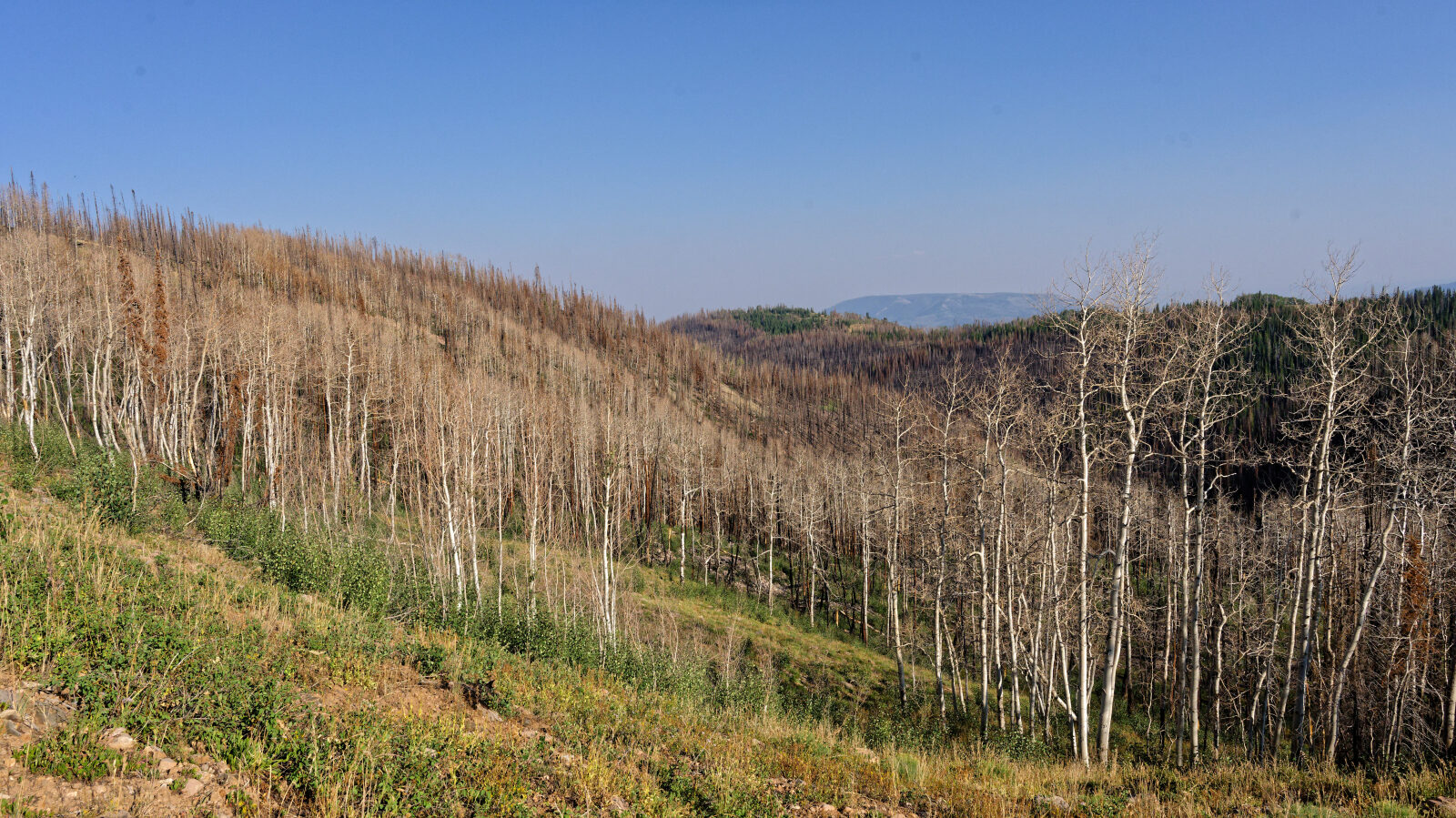
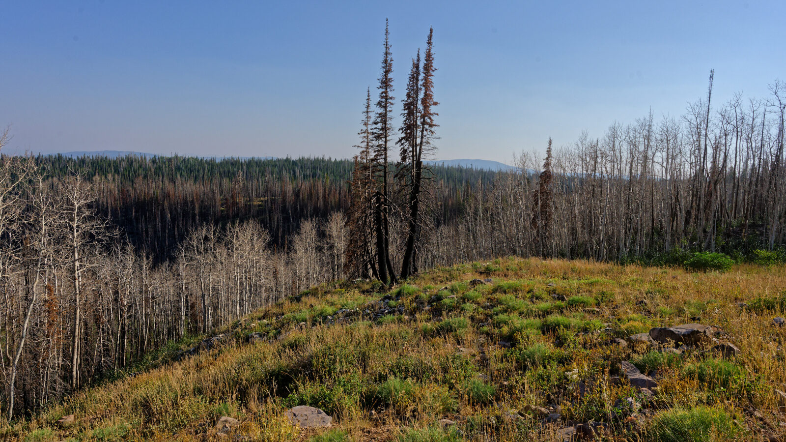
Waypoint 4 (40.50428, -110.92464)