Low Mountain Road - Level 3
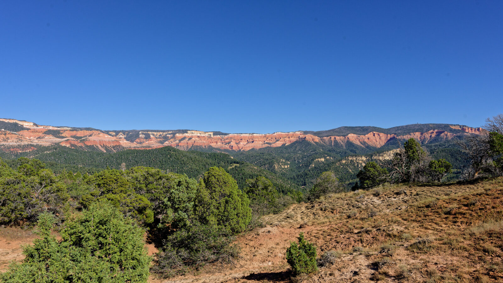
Low Mountain Road is Forest Road 31572 in the Dixie National Forest in Iron County, southern Utah. It runs along the high country above the Cedar Valley and Parowan area and drops steadily from the start to its end.
The road is a quiet backcountry route. It crosses a short stretch of private land partway along, so plan on treating that section with care.
Trail Summary
- LocationIron County, Utah
- Distance3.6 miles
- DifficultyLevel 3
- Elevation8,542 ft to 9,460 ft with a 918 ft change
- Travel Time55 minutes
Difficulty
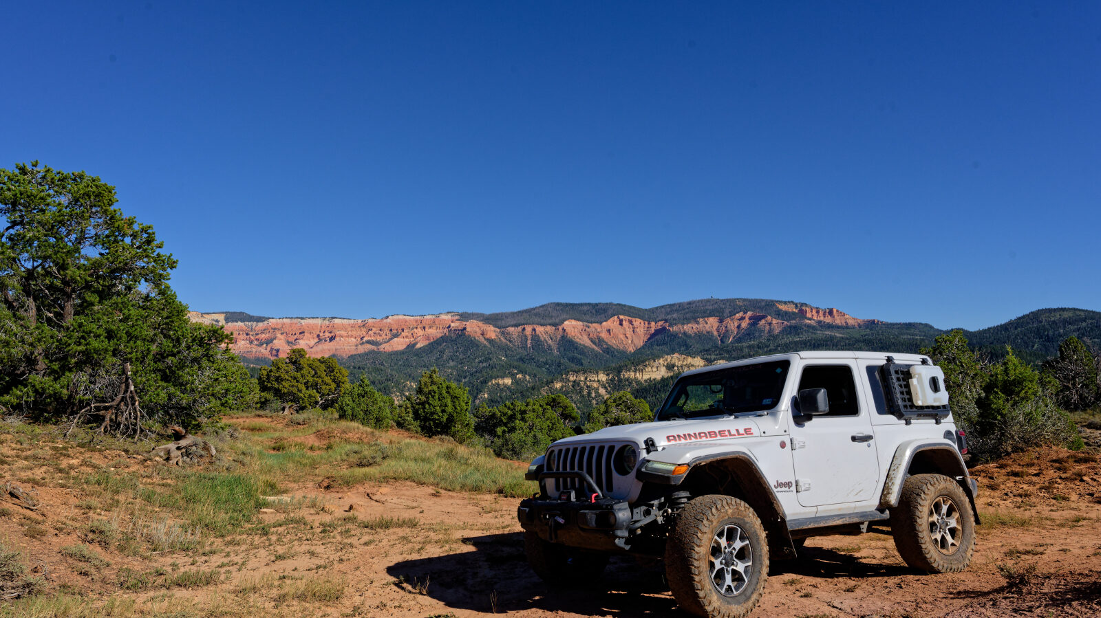
Best suited for a high clearance 4x4
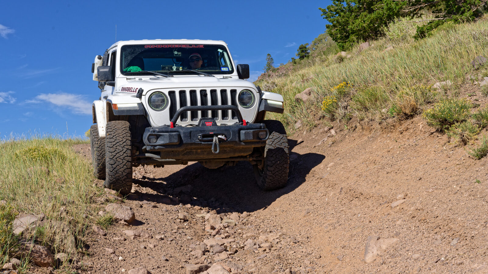
Level 3 is best suited for a high clearance 4x4. Expect an uneven, rutted dirt road with loose rocks, short steep grades and obstacles up to about 12 inches. The road is generally one vehicle wide with places to pass. On this trail, the log marks a loose, uphill rocky section near waypoint 3 that the driver rated a little easier, around Level 2. Deep ruts near waypoint 4 are the hardest spot and the reason for the Level 3 rating. Careful tire placement helps in both places.
Terrain
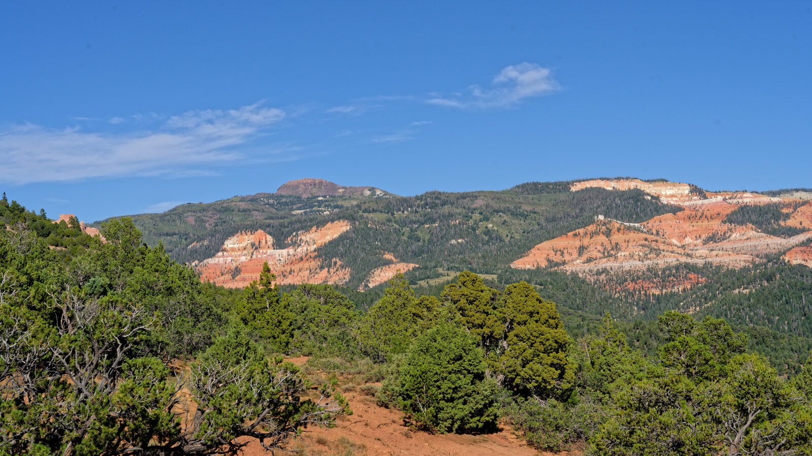
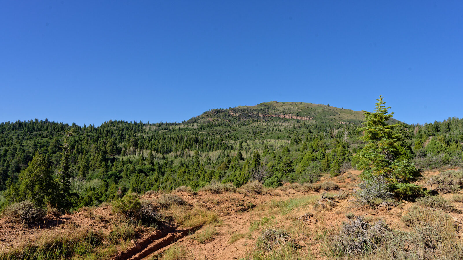
The surface is dirt with loose rock on the climbs and deep ruts in places. The route moves through high elevation terrain with a steady change in elevation along the way. Pin striping from brush is common through much of the route, especially around waypoint 6.
Highlights
There are no camping spots the whole way down, so plan to camp elsewhere. Pin striping from brush is common, so expect marks on a vehicle's paint.
Map
The interactive map needs JavaScript. Every waypoint is also listed below.
Waypoints
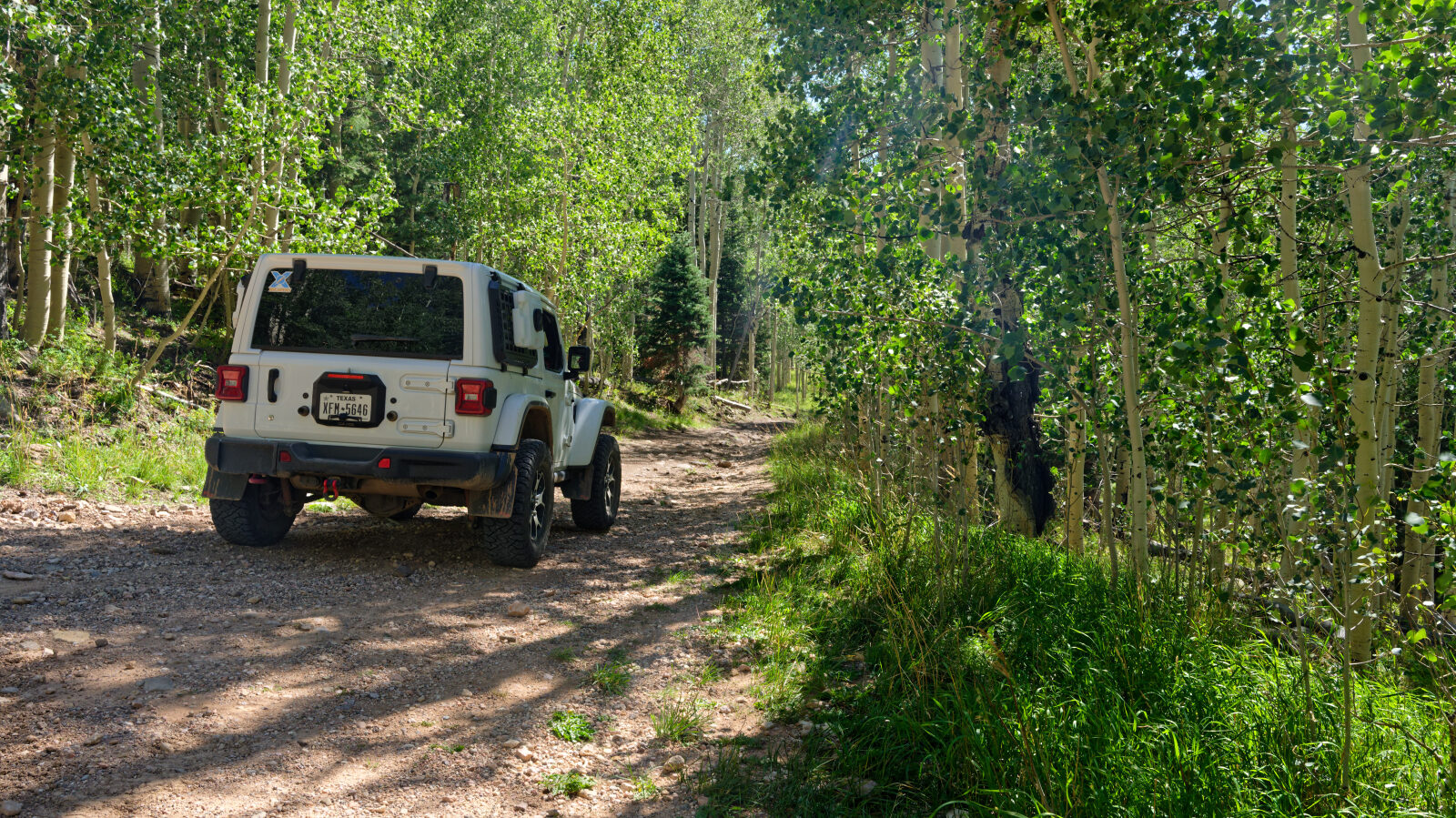
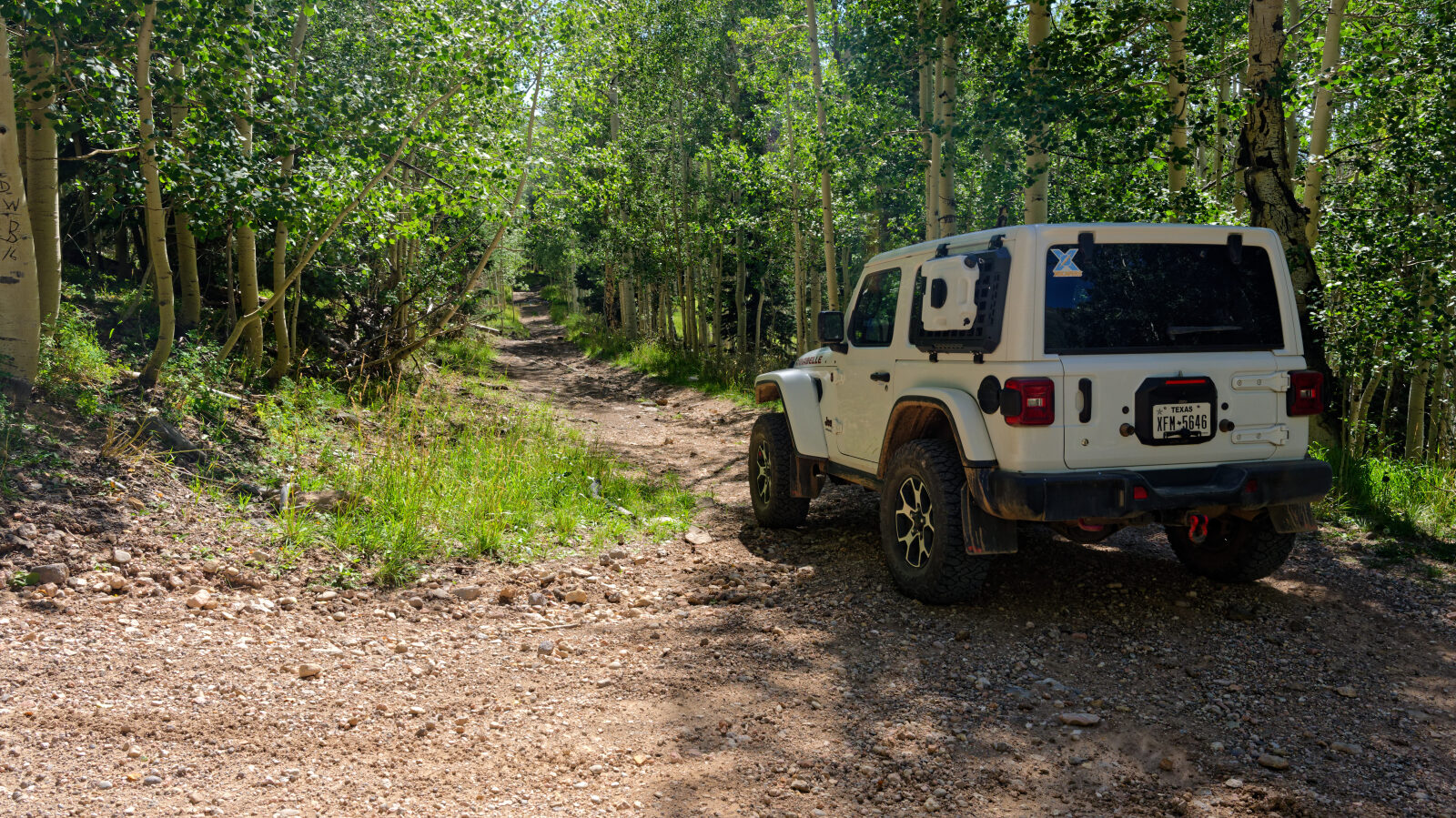
Waypoint 1 (37.68120, -112.91243)
Start of Low Mountain Road, Forest Road 31572.
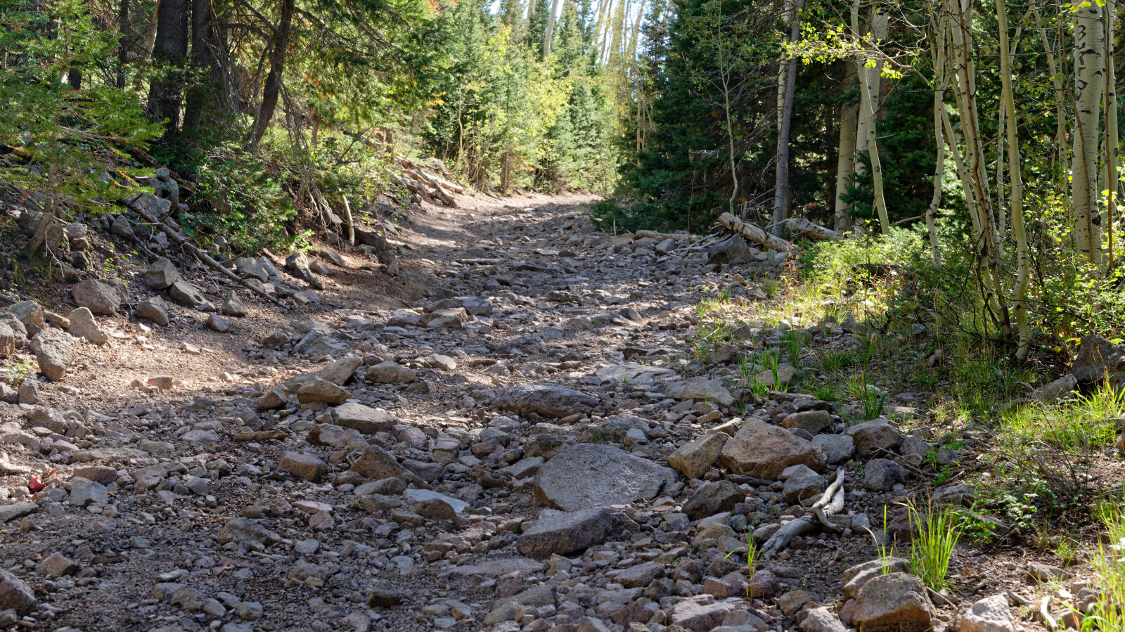
Waypoint 2 (37.67372, -112.91675)
Waypoint 3 (37.67280, -112.91771)
A harder spot, about Level 2. The road climbs through loose rock.
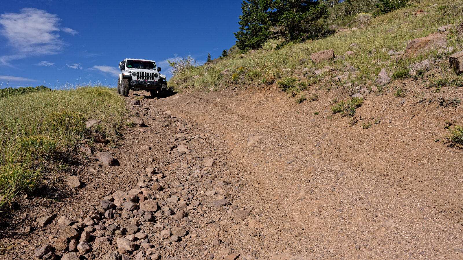
Waypoint 4 (37.66827, -112.91990)
A Level 3 spot with deep ruts, deeper than a Level 2 section would have.
Waypoint 5 (37.66435, -112.92169)
A gate where the road briefly crosses private property. Keep the gate closed and stay on the road.
Waypoint 6 (37.65552, -112.92222)
Brush pin striping through this area, and along much of the trail.
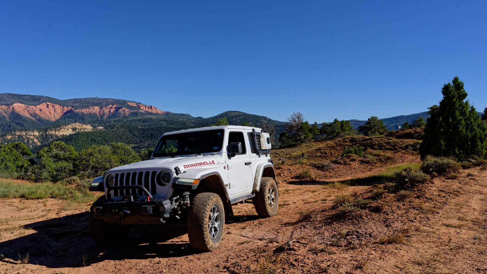
Waypoint 7 (37.64663, -112.92157)
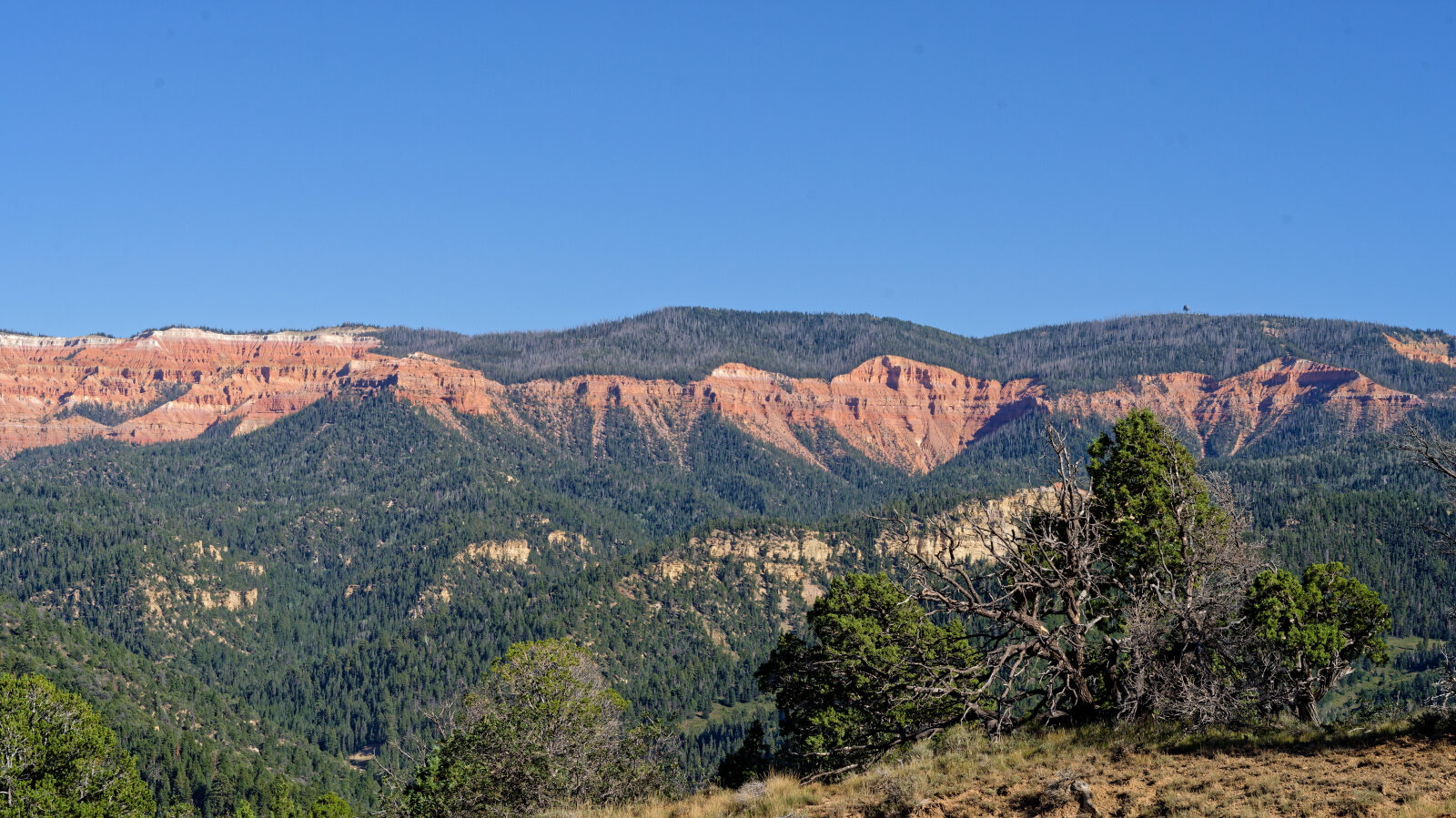
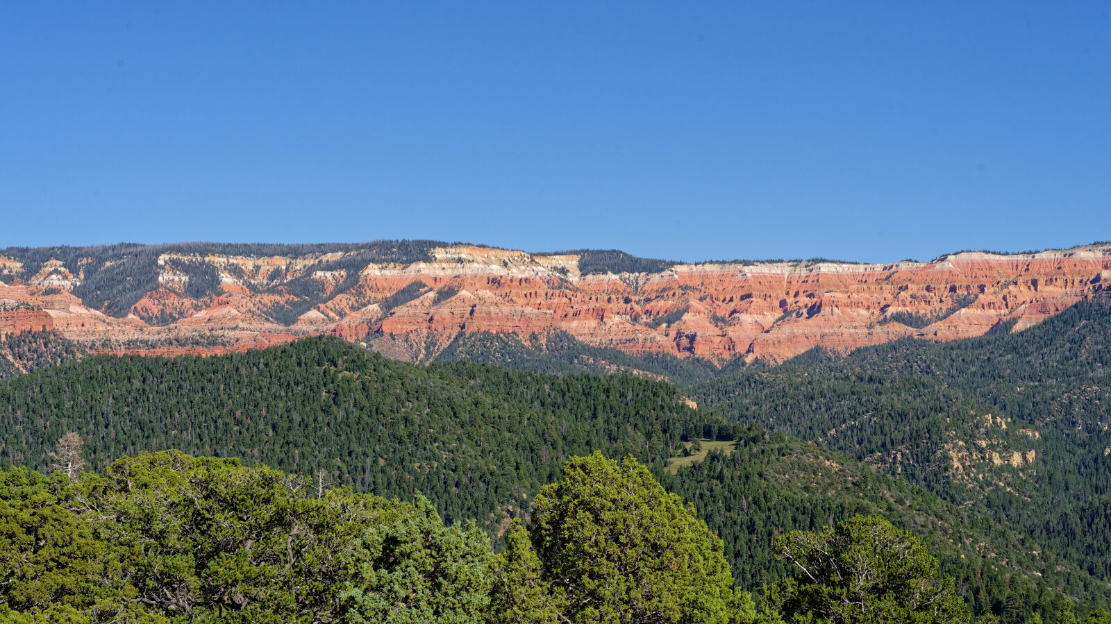
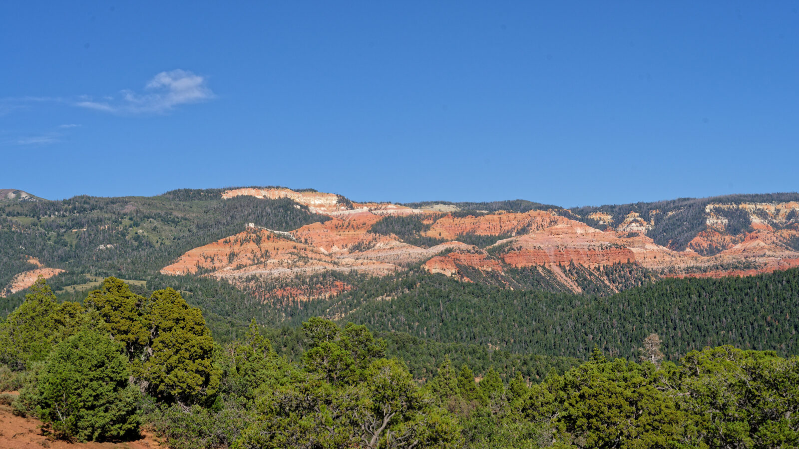
End of the trail. There are no camping spaces along the whole route.