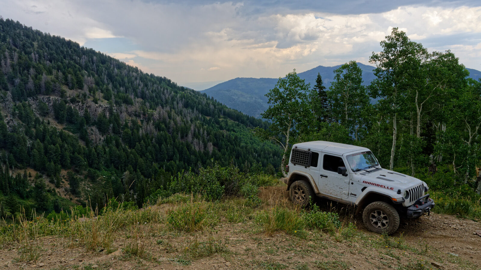
Major Evans - Level 3
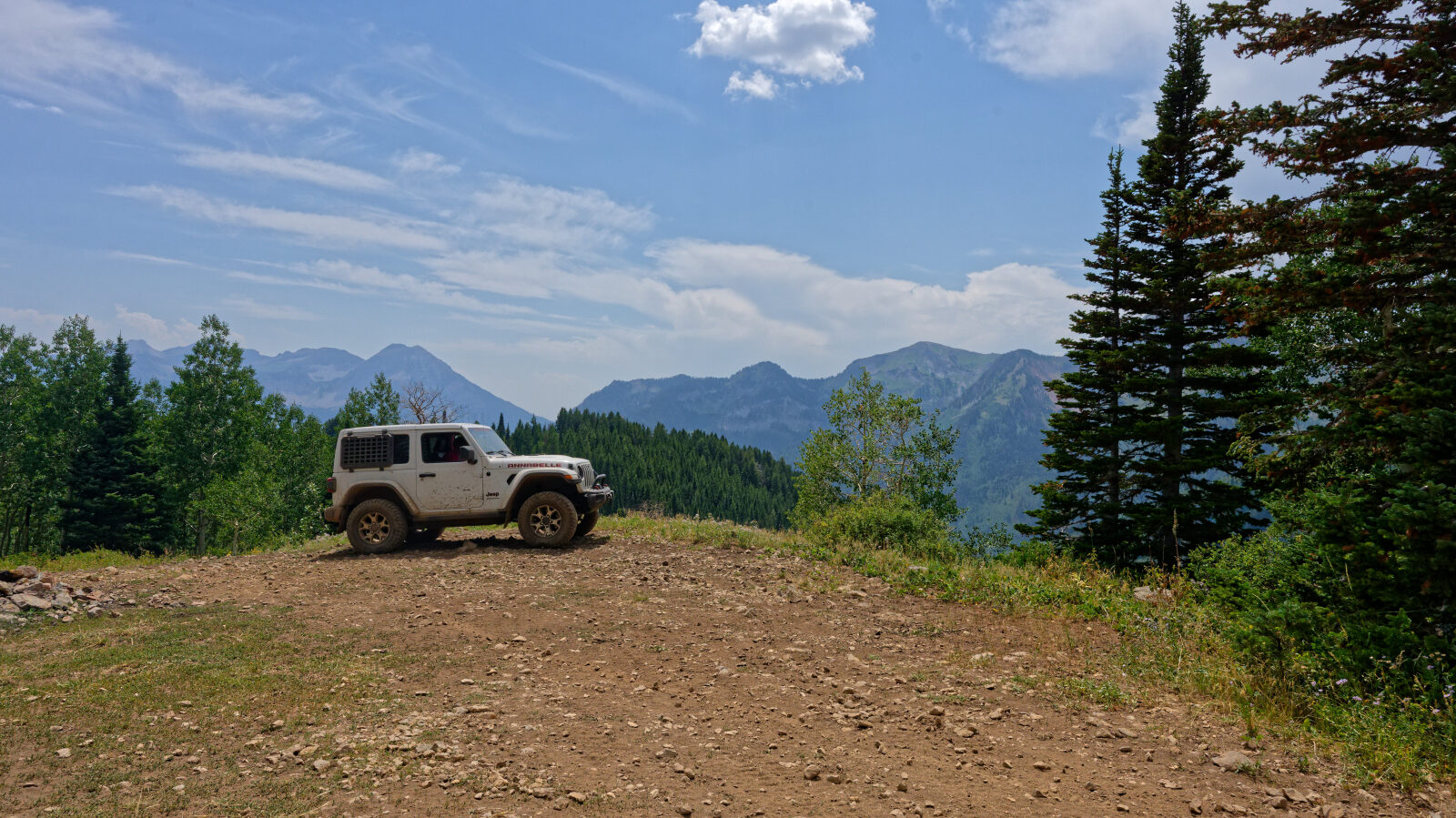
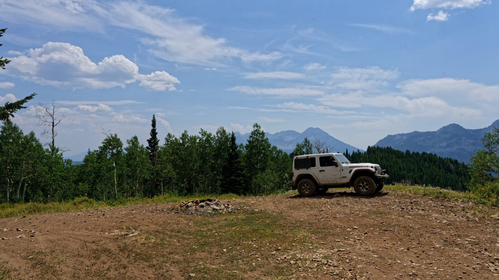
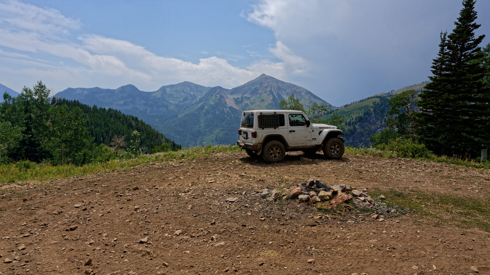
Major Evans is a short backcountry route in the Wasatch Range foothills of Utah County, within the Uinta-Wasatch-Cache National Forest. It climbs from the lower benches into higher timbered and brushy country on the mountainside.
The route suits a half-day outing or a quick trip from the Wasatch Front. Check current access and seasonal closures with the Forest Service before you go.
Trail Summary
- LocationUtah County, Utah
- Distance3.7 miles
- DifficultyLevel 3
- Elevation7,794 ft to 9,354 ft with a 1,560 ft change
- Travel Time1 hour 38 minutes
Difficulty
Best suited for a high clearance 4x4
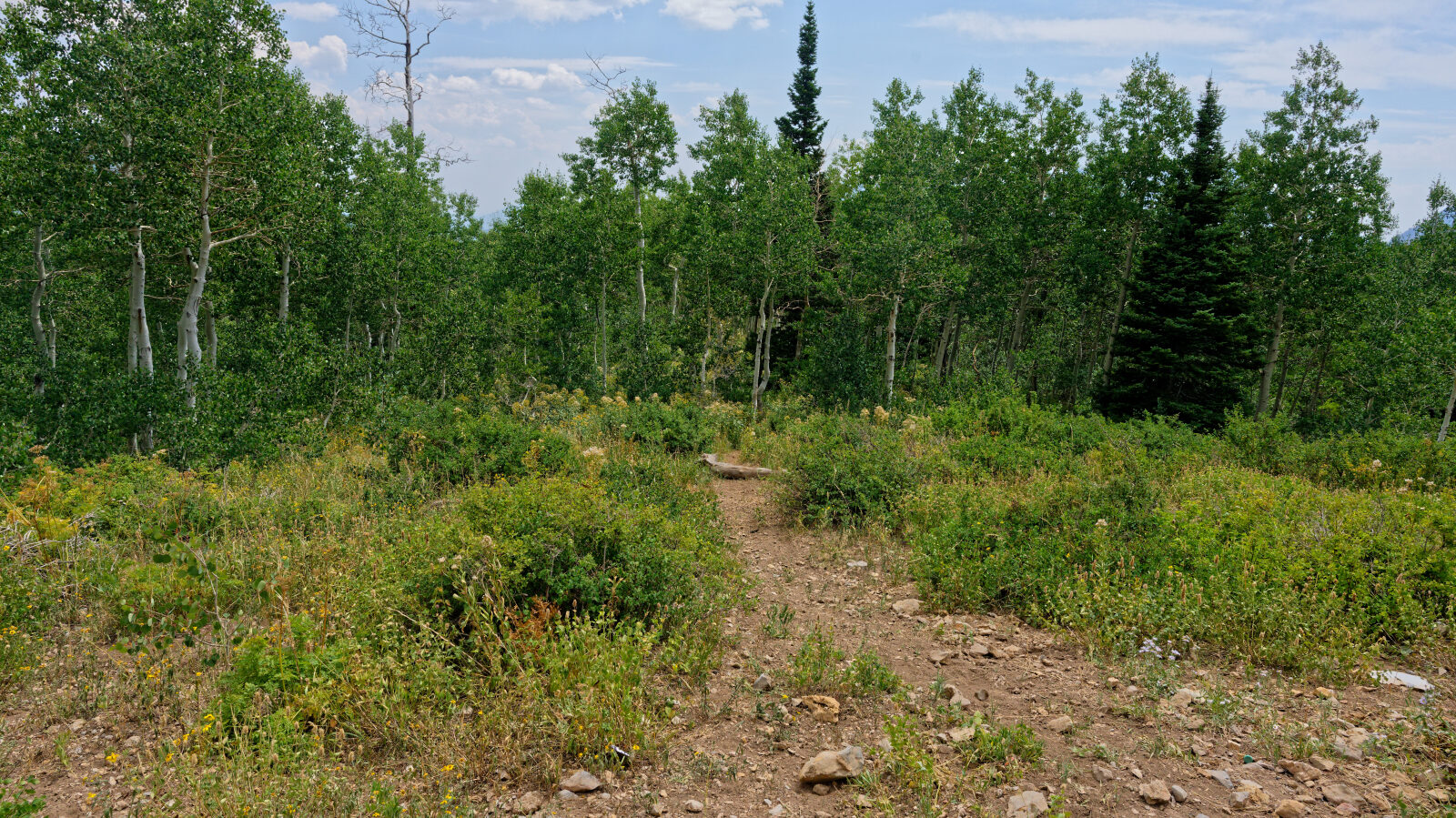
This trail is rated Moderate (level 3), best suited to a high clearance 4x4. Expect stock vehicles with good ground clearance, 4WD and off-road tires to manage it. Typical features at this level are an uneven, rutted surface, loose rocks, short steep grades, and ledges or other obstacles under 12 inches. Careful tire placement may be needed in places. The road is generally one vehicle wide with places to pass. The driver's log did not call out any specific obstacle that needs special attention.
Map
The interactive map needs JavaScript. Every waypoint is also listed below.
Waypoints
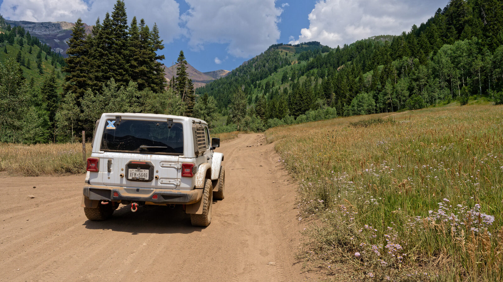
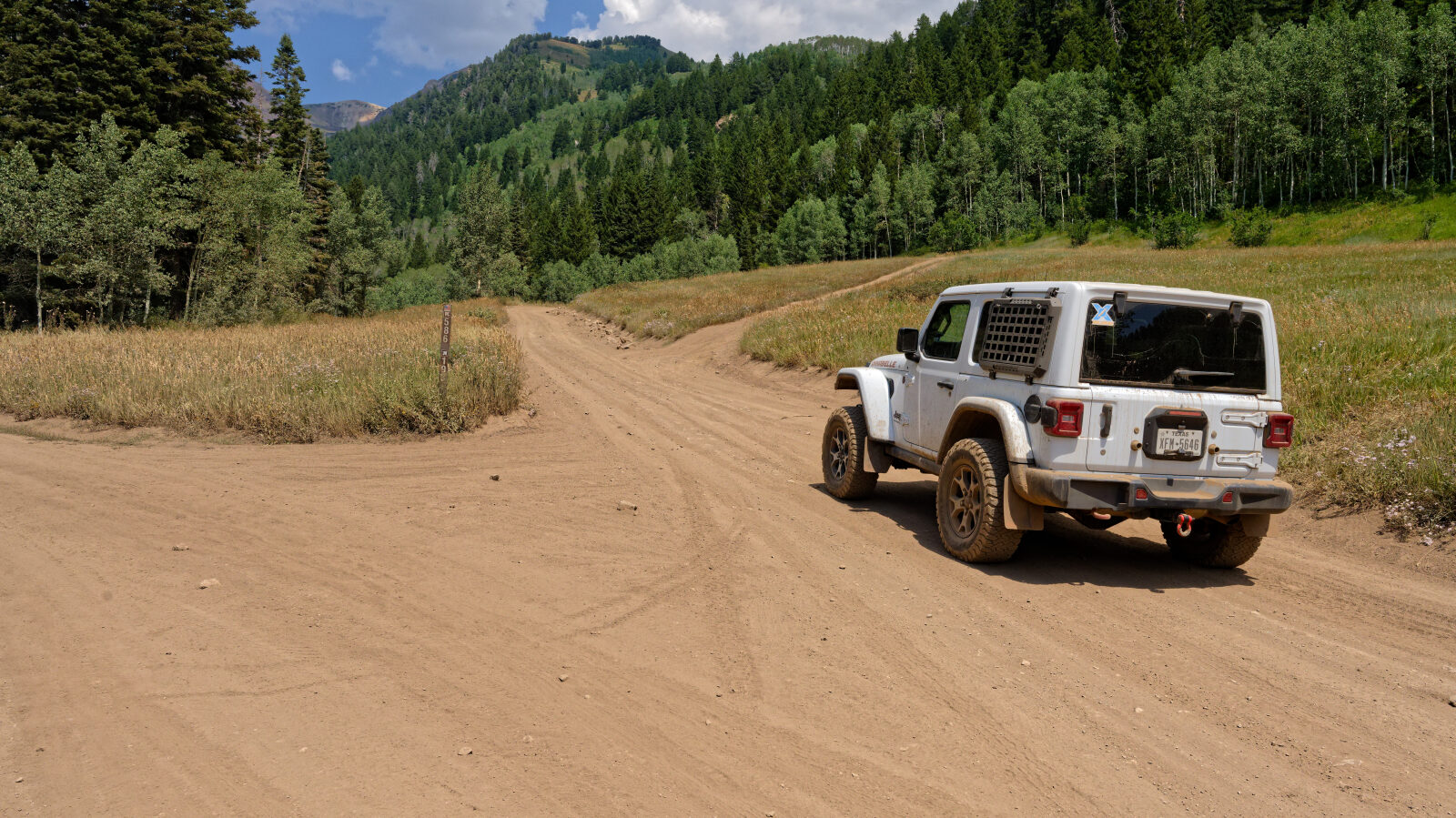
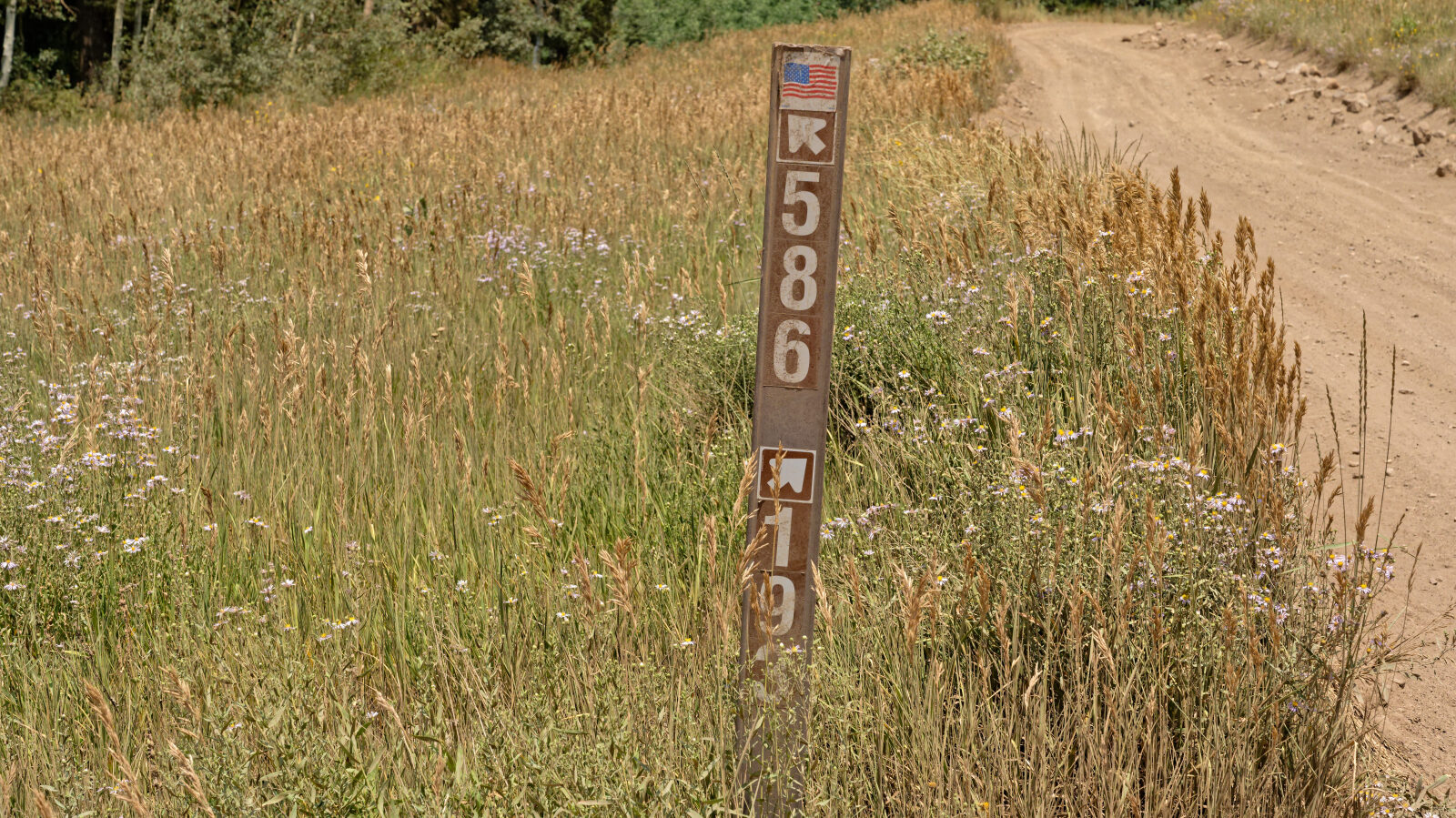
Waypoint 1 (40.51438, -111.65503)
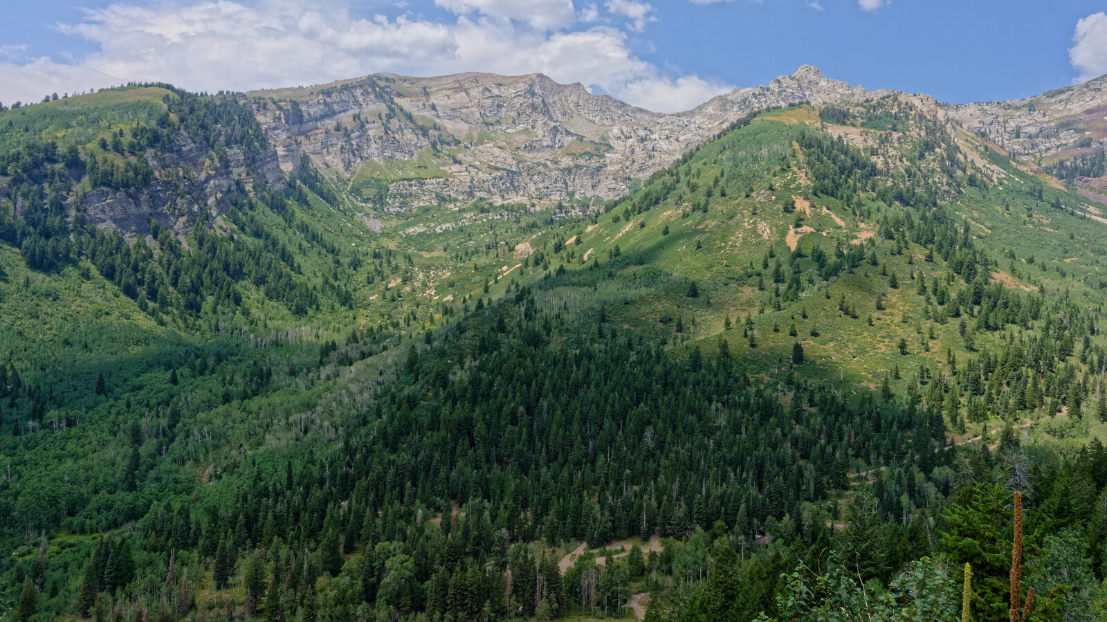
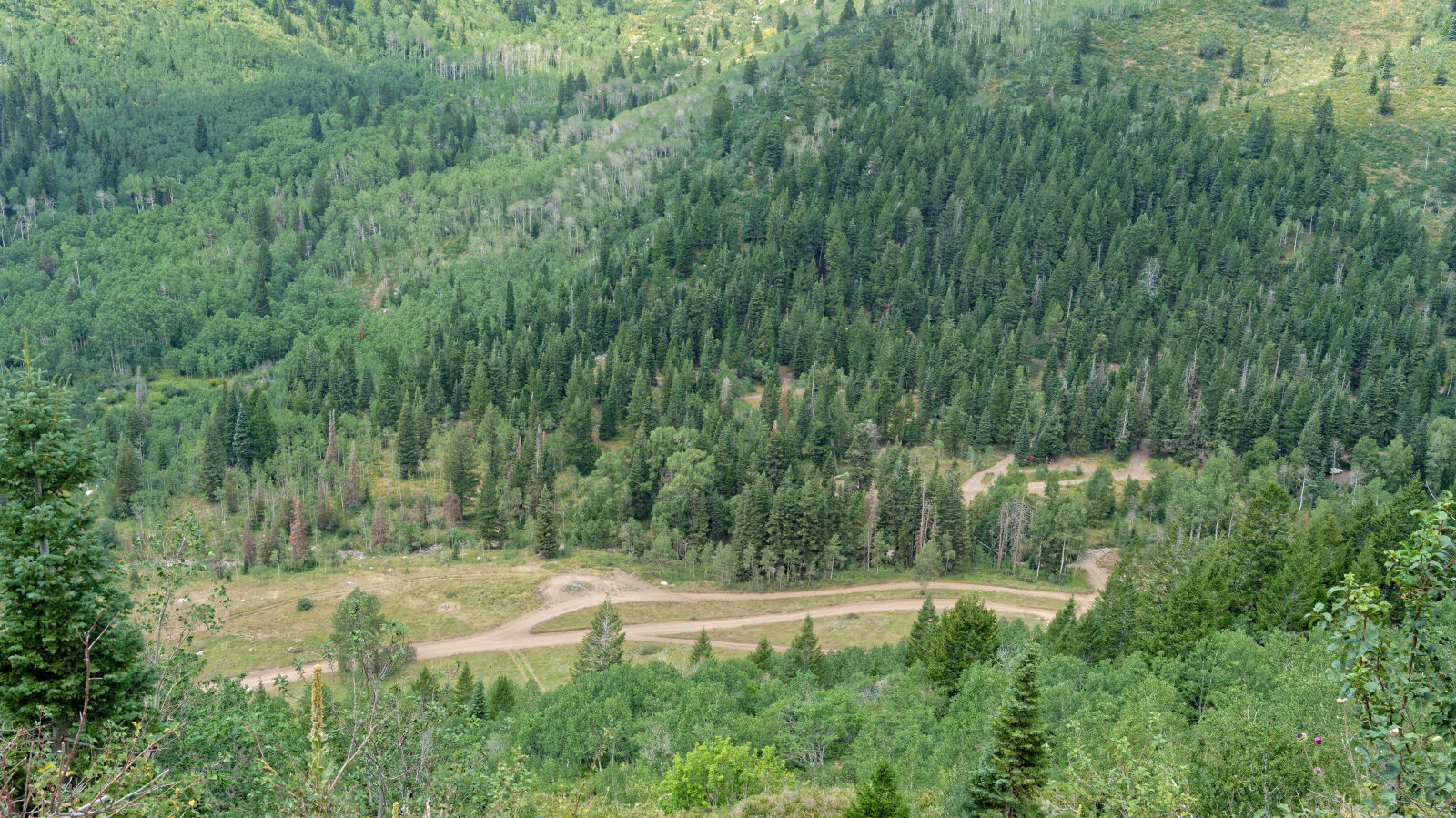
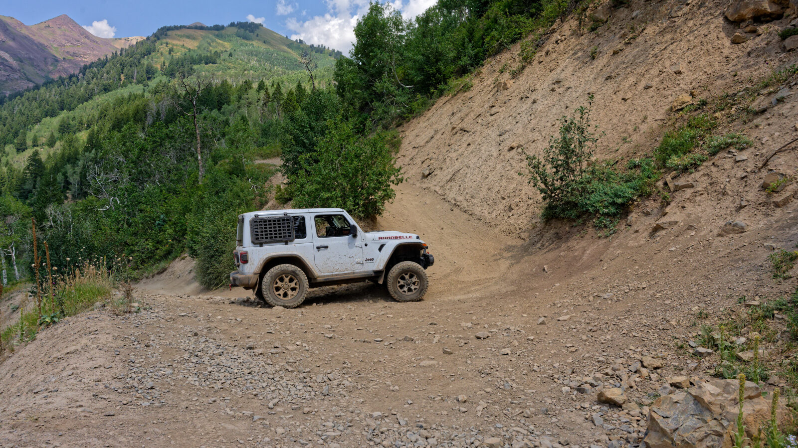
Waypoint 2 (40.51425, -111.65210)
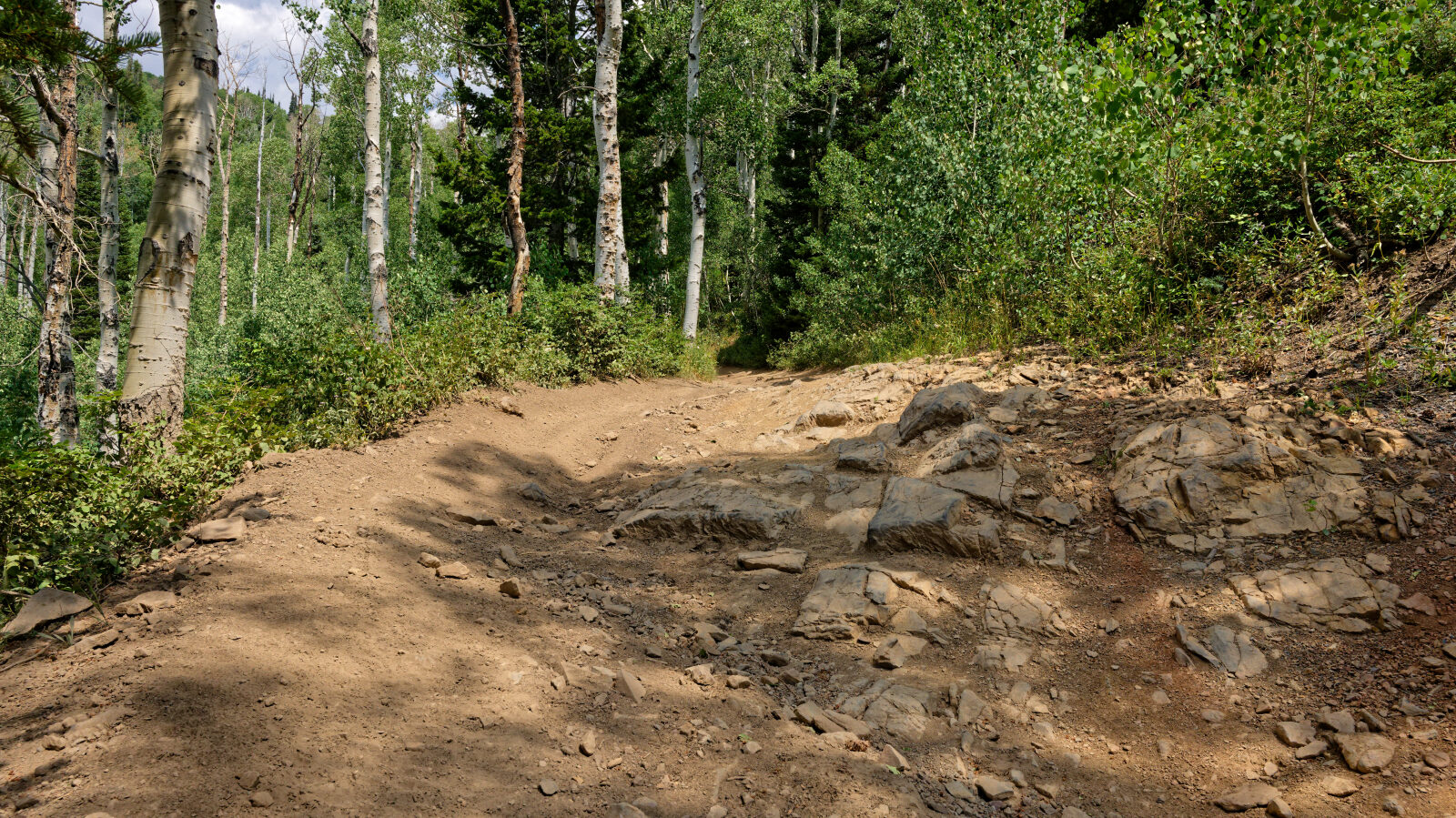
Waypoint 3 (40.51618, -111.64934)
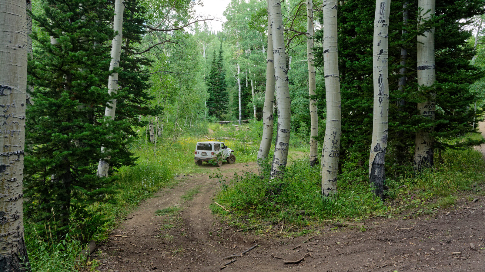
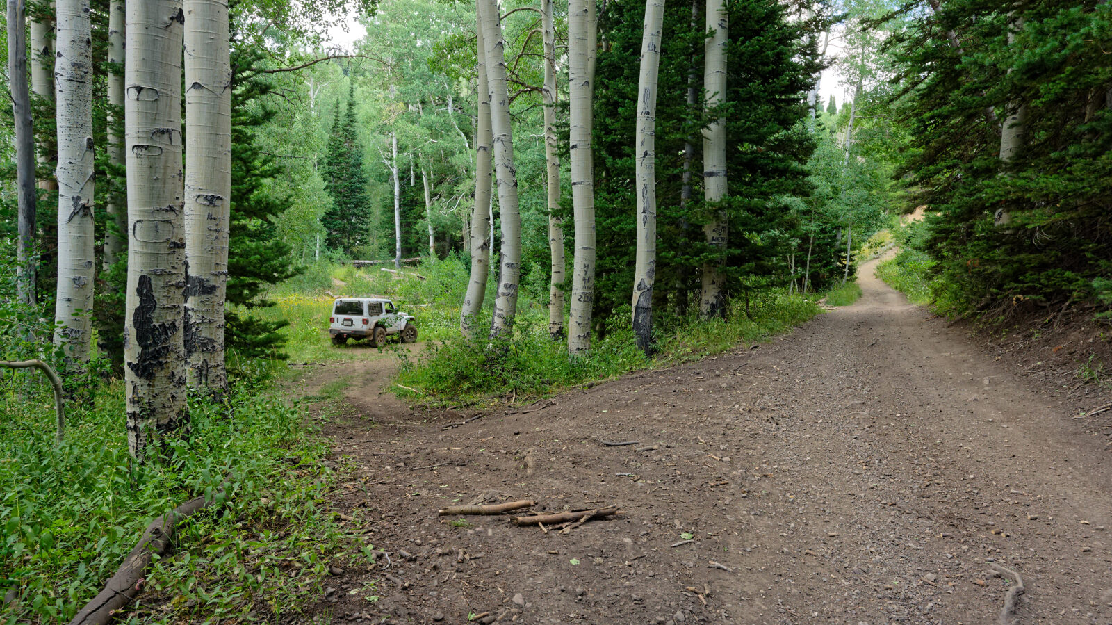
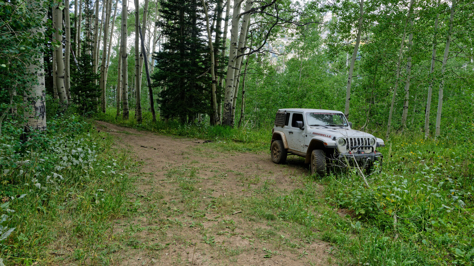
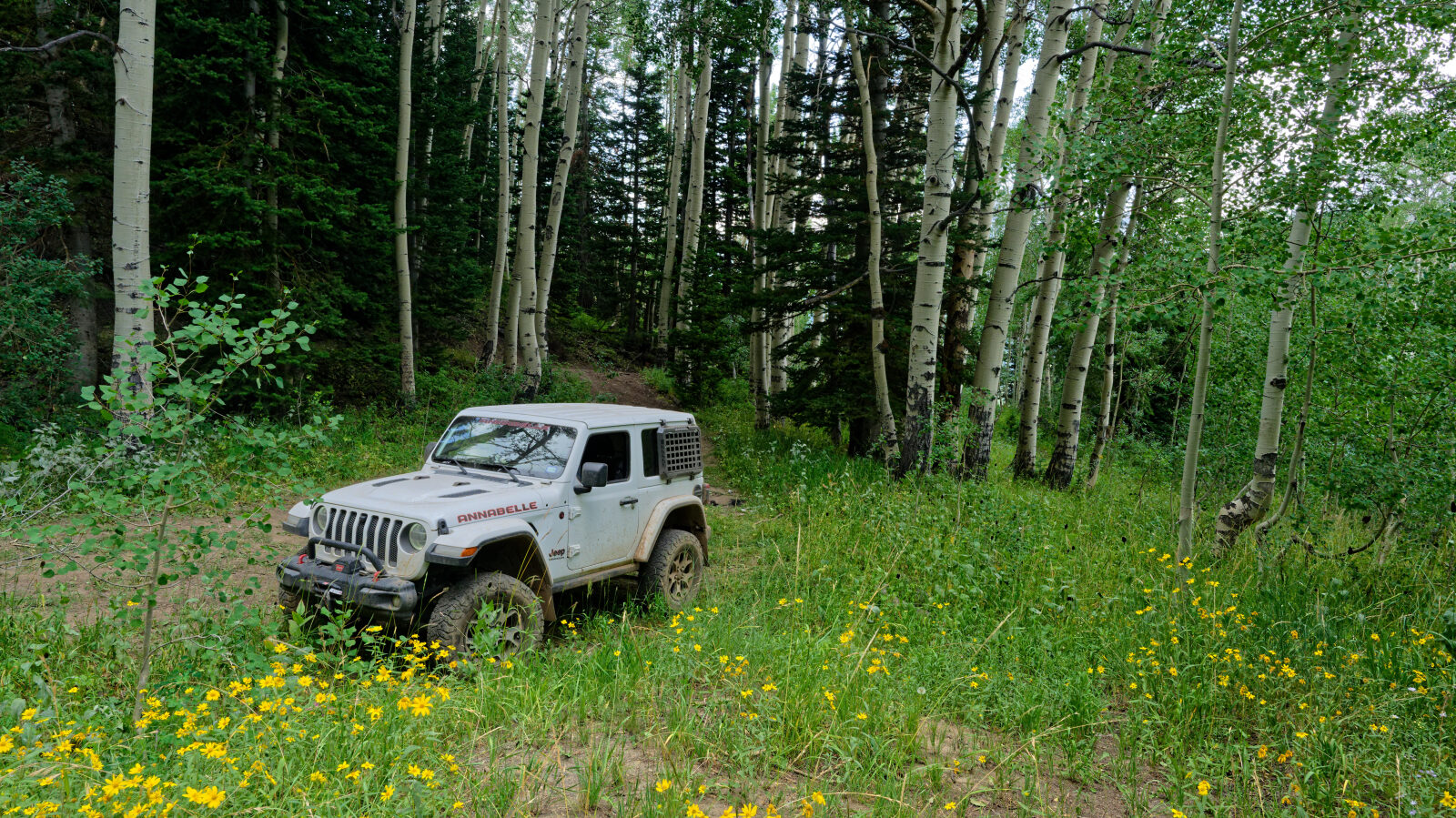
Waypoint 4 (40.51990, -111.64934)
Waypoint 5 (40.51878, -111.64634)
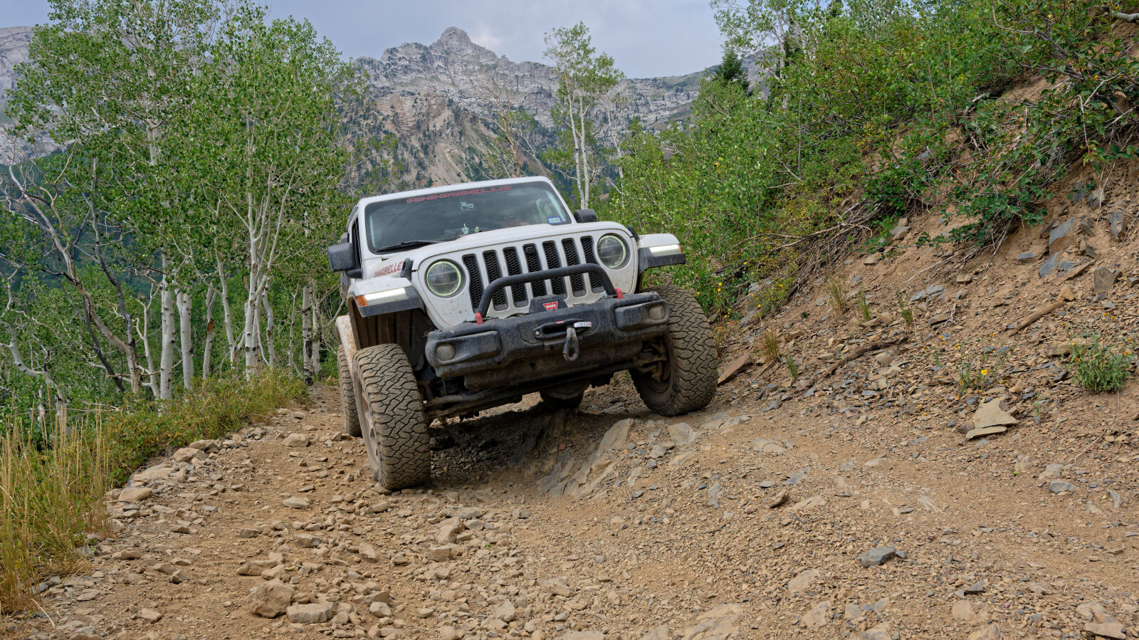
Waypoint 6 (40.52145, -111.64775)
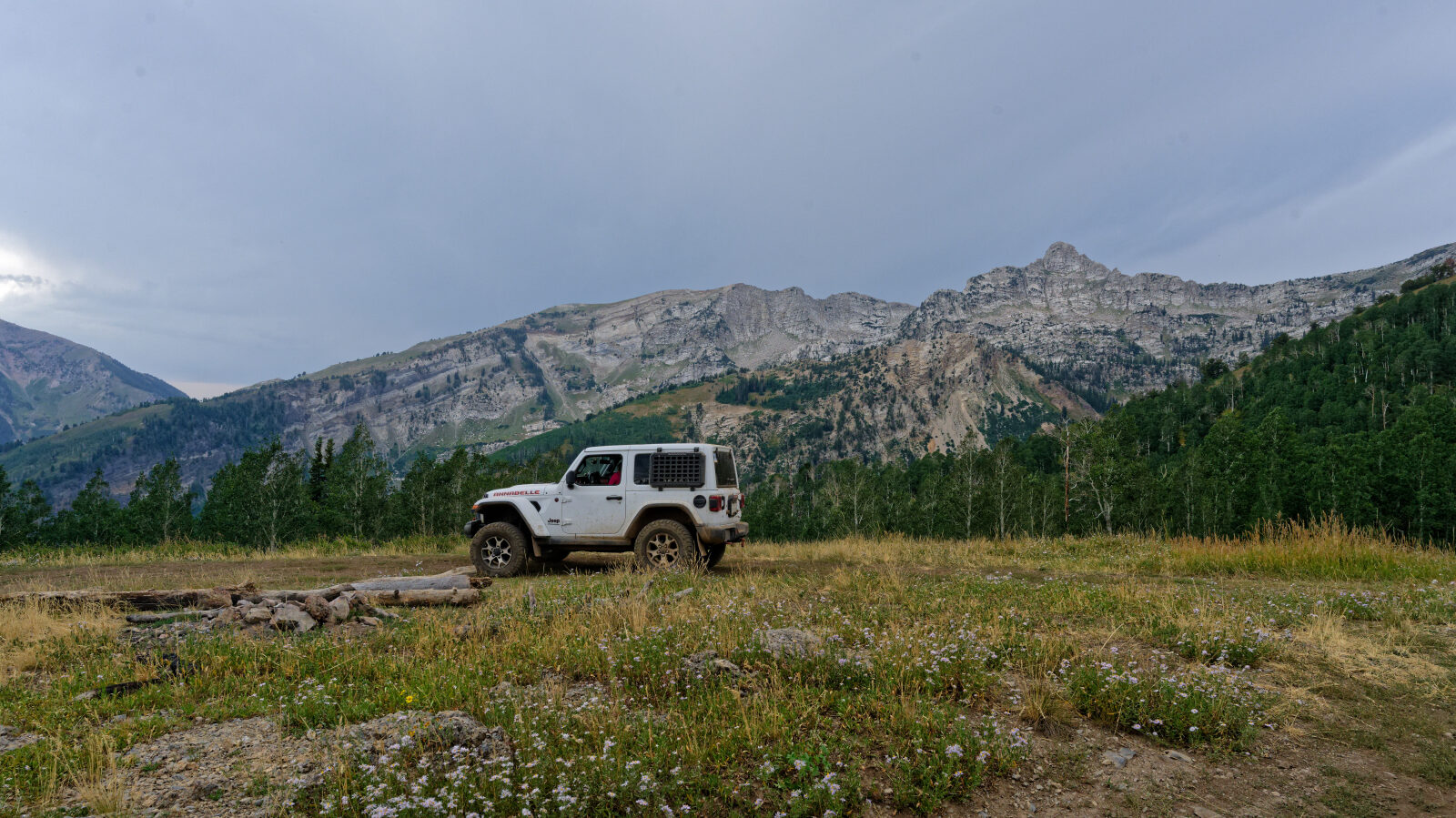
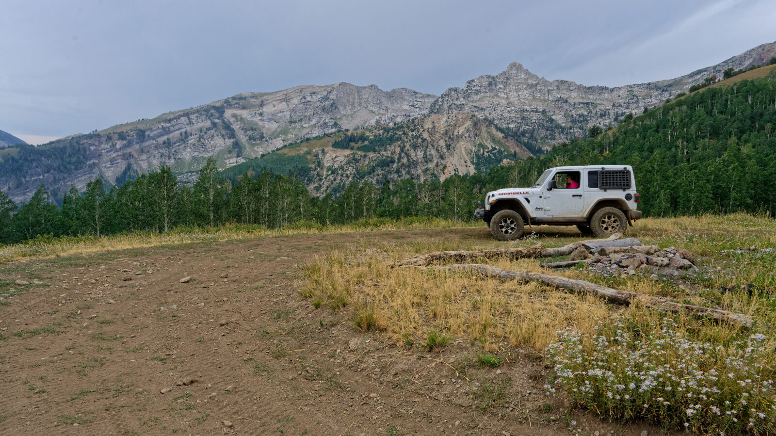

Waypoint 7 (40.52449, -111.64655)