Paiute Side Trail - Level 2
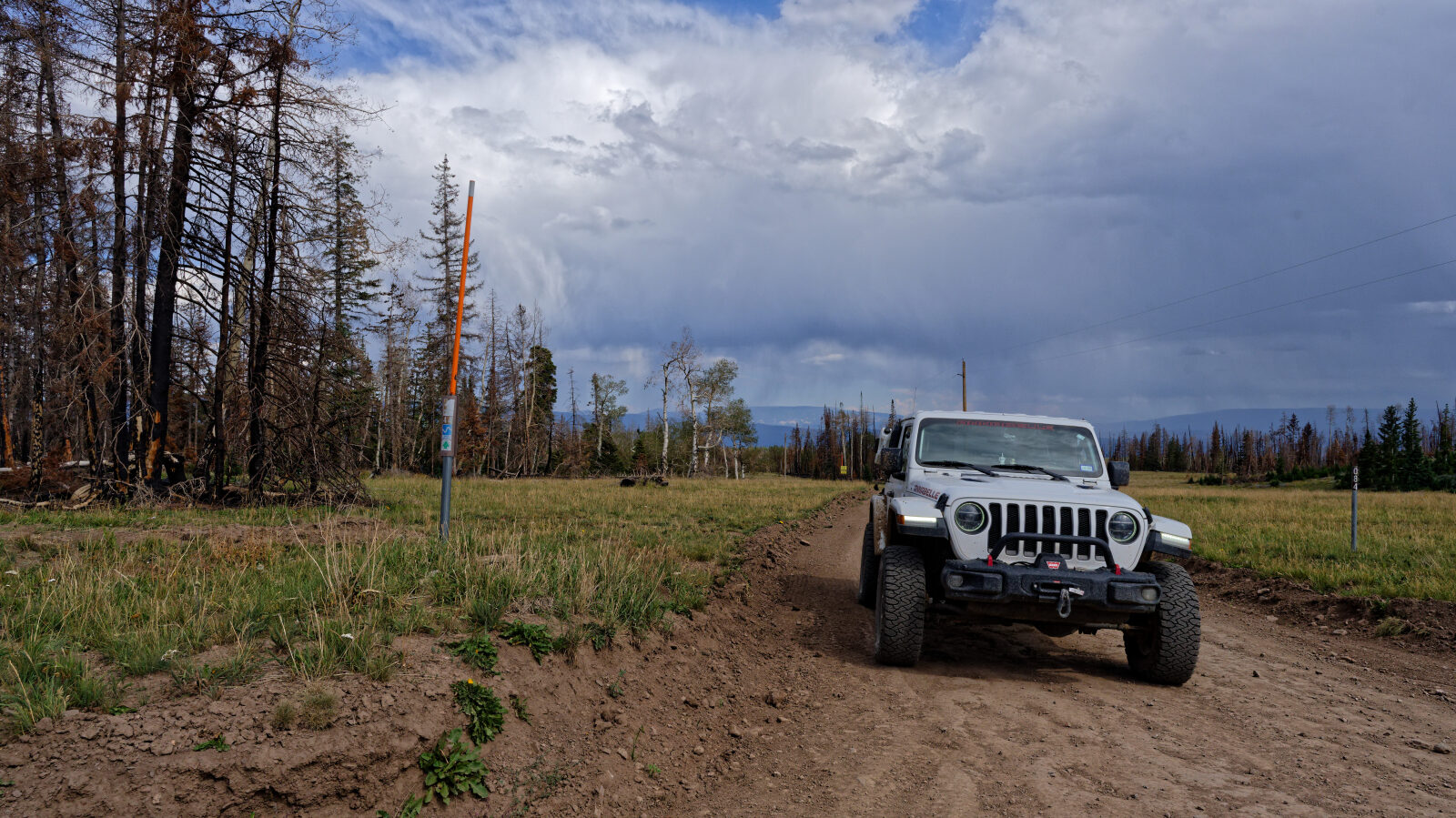
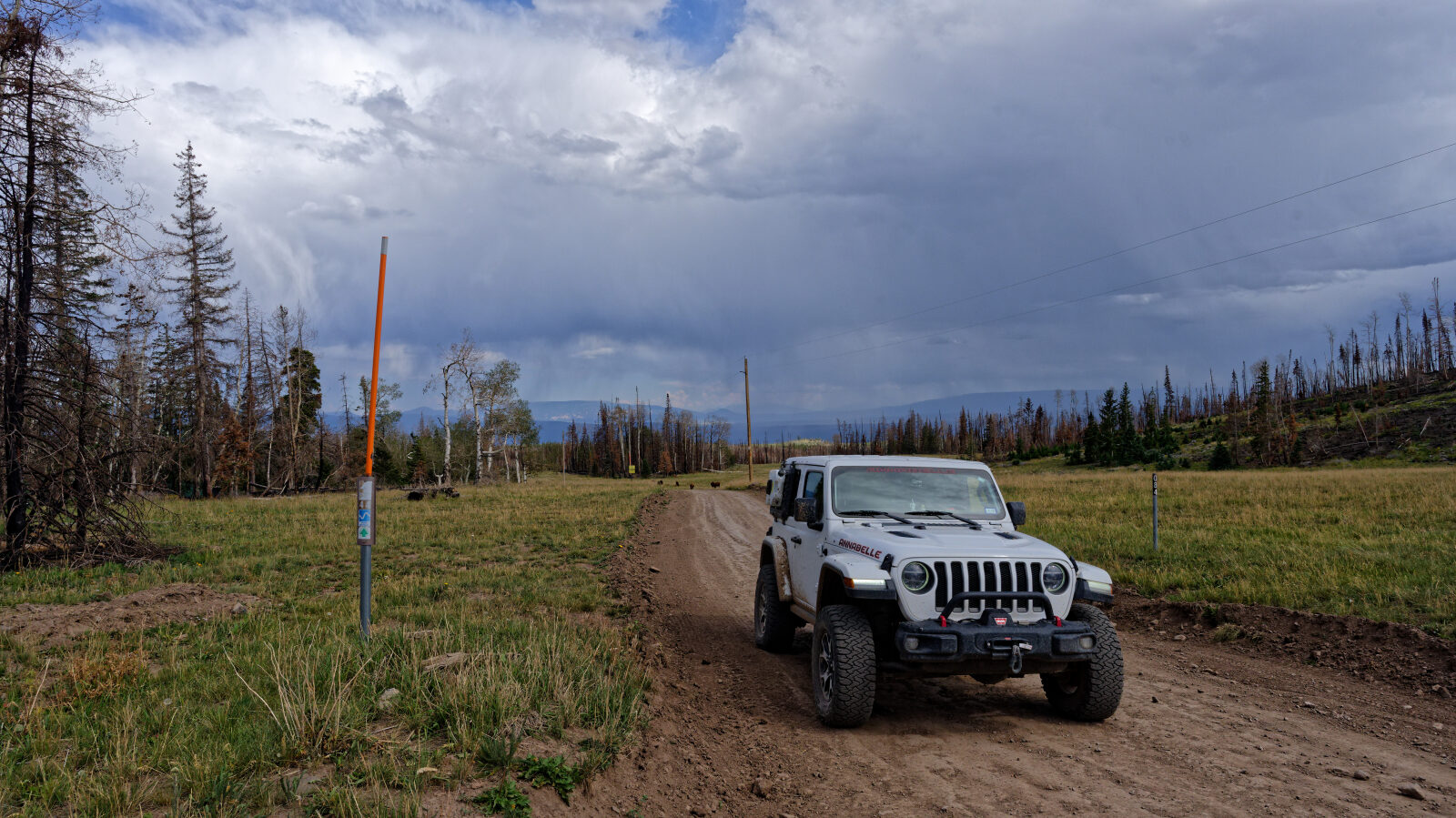
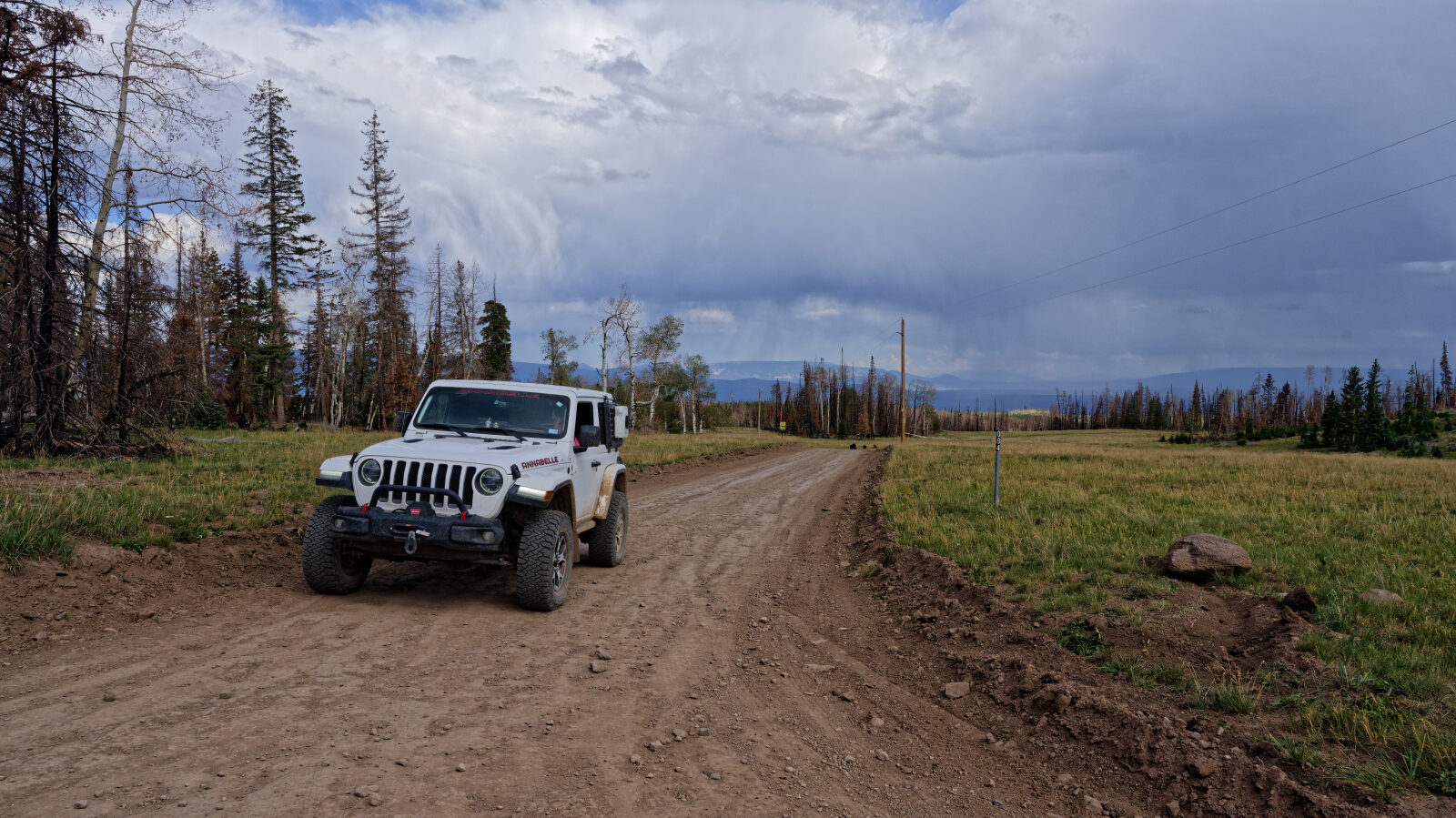
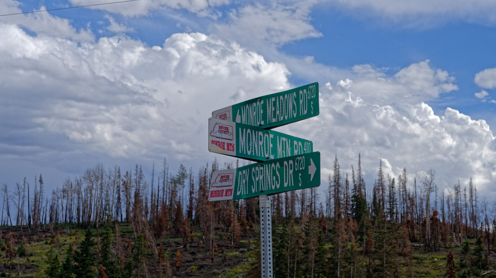
Paiute Side Trail 44 is a short backcountry route in the high country of Sevier County, Utah, on the Paiute ATV Trail system in Fishlake National Forest. It climbs through aspen and conifer forest, with a few spurs that lead to dispersed camping.
The route crosses private land in places, so it is a trail to drive attentively and respectfully.
Trail Summary
- LocationSevier County, Utah
- Distance8.2 miles
- DifficultyLevel 2
- Elevation9,304 ft to 10,310 ft with a 1,006 ft change
- Travel Time50 minutes
Difficulty
Typically suitable for high clearance 2WD
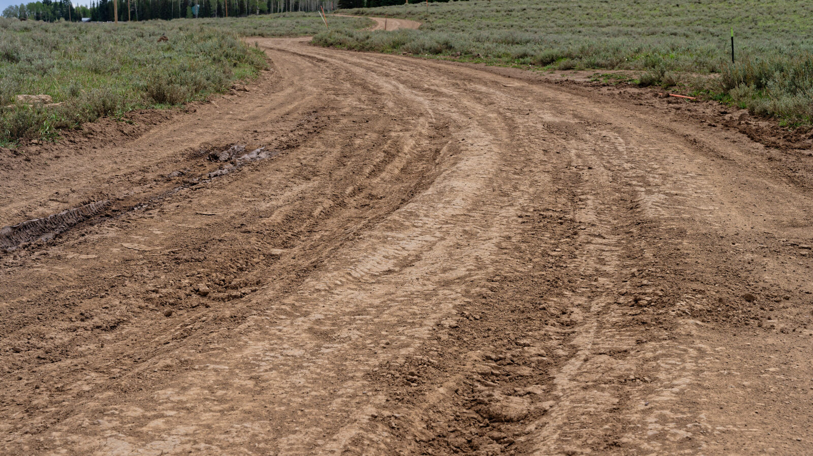
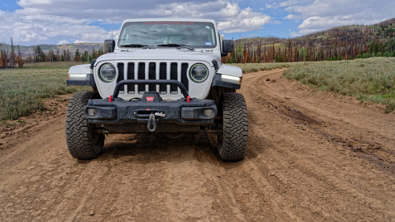
This trail is rated Level 2, Easy, which is typically suitable for high clearance 2WD. Stock equipment is sufficient, but expect the terrain to test tire traction and ground clearance. Obstacles are generally under 9 inches, such as rocks, dips or ruts, and shallow water or small ledges under 12 inches are possible. The driver notes that the ruts early on are the only notable obstacle on the trail. They are passable when wet, though mud makes them harder to get through. The road is typically unmaintained after rain or snow and is one to two vehicles wide.
Highlights
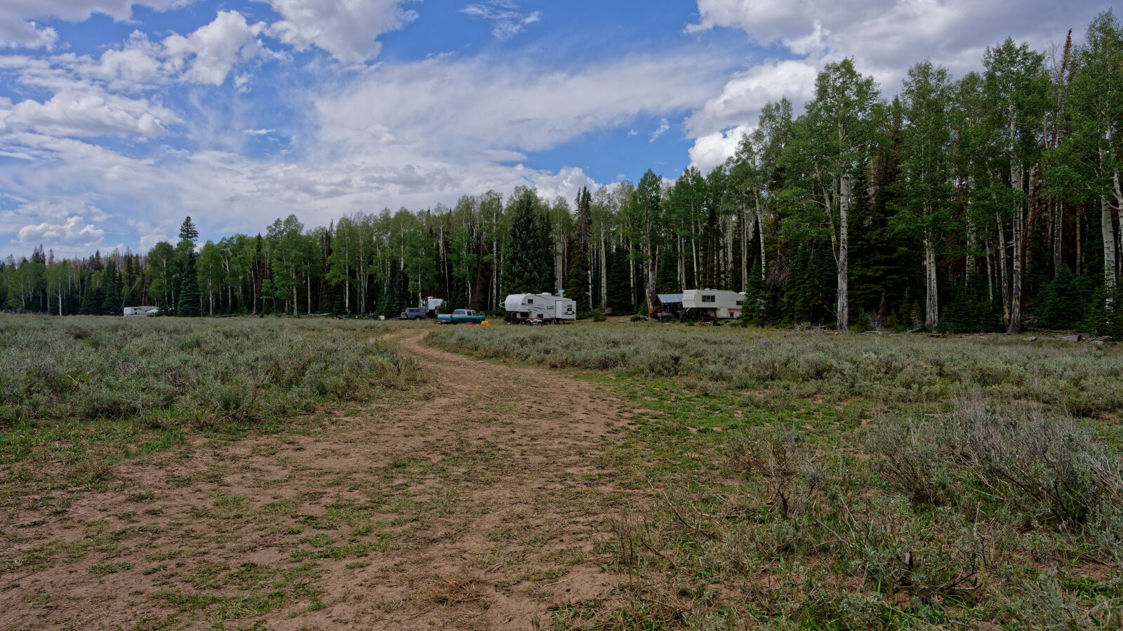
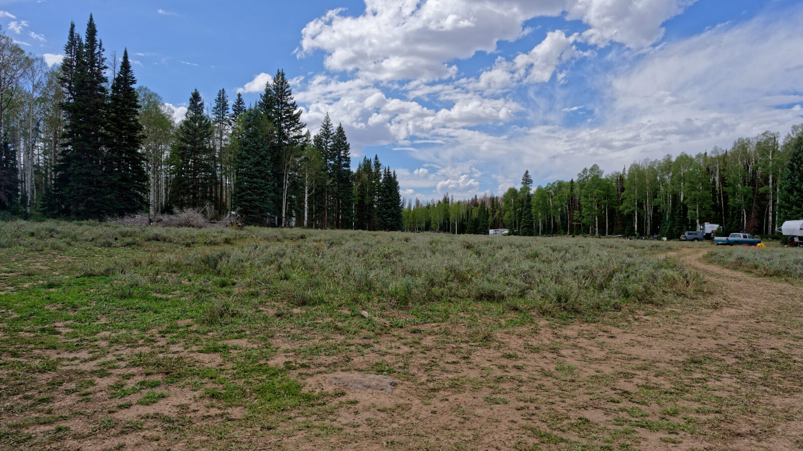
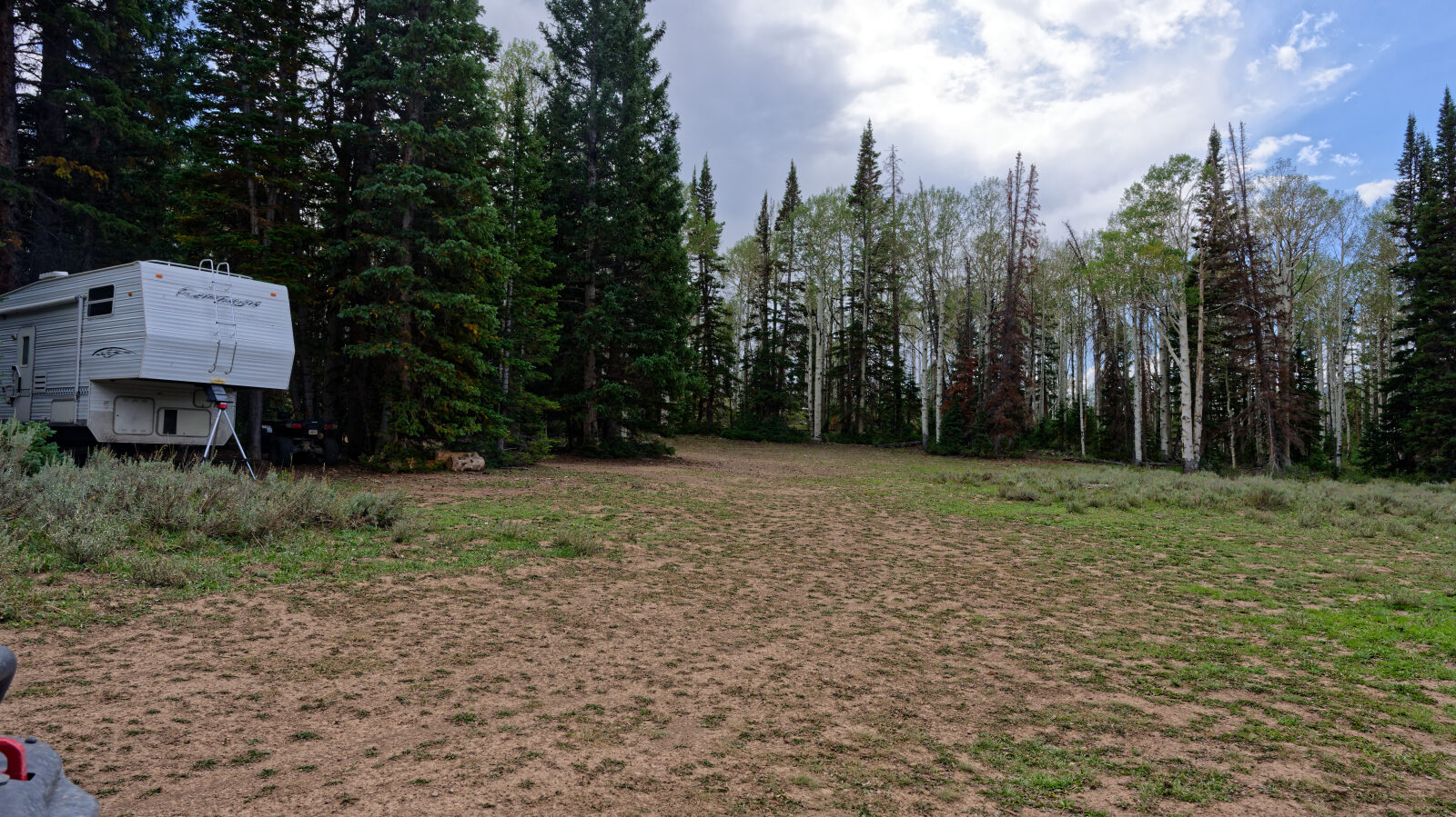
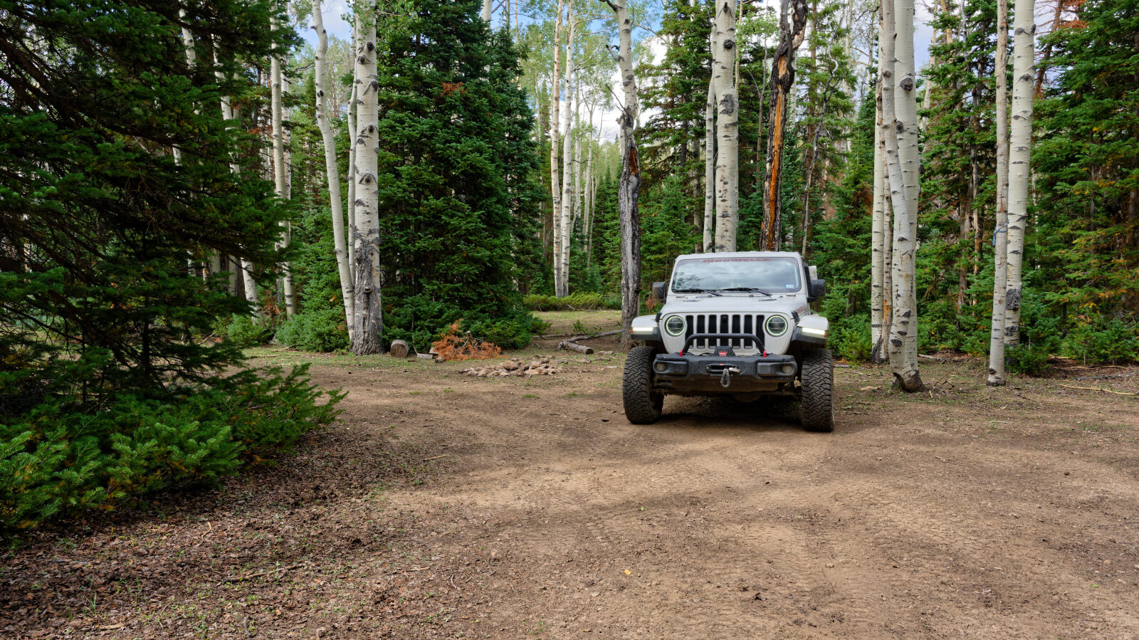
Dispersed camping is easy to find near the start. One area has about eight sites, most of them under trees, and a few are in the open. A spur farther along has three tight, shaded sites that suit only one small rig.
Map
The interactive map needs JavaScript. Every waypoint is also listed below.
Waypoints
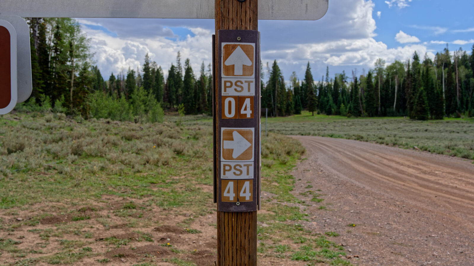
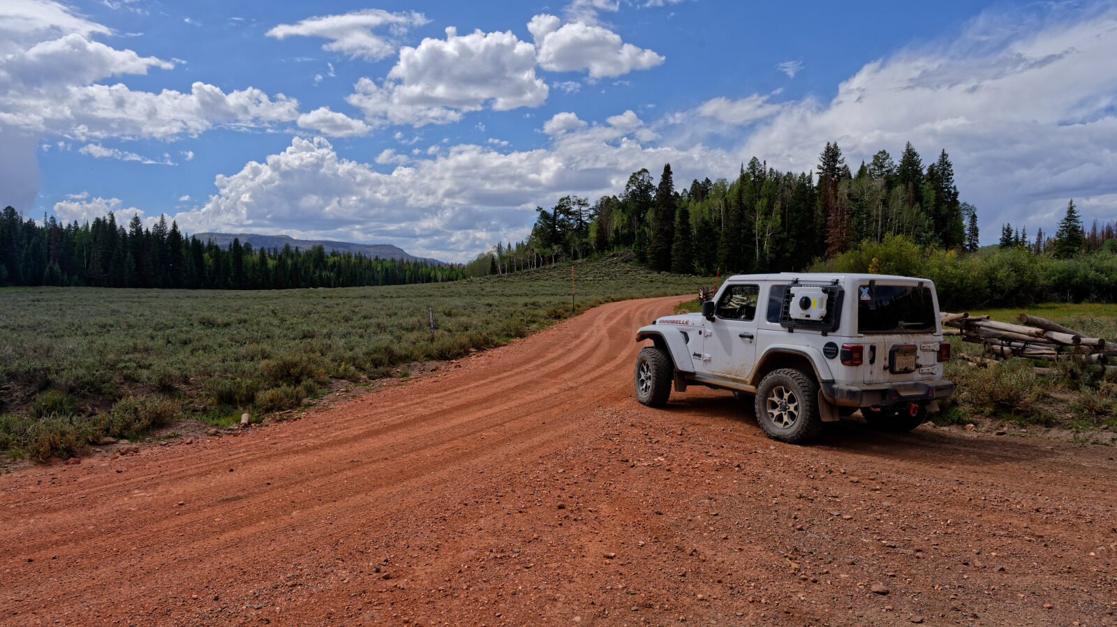
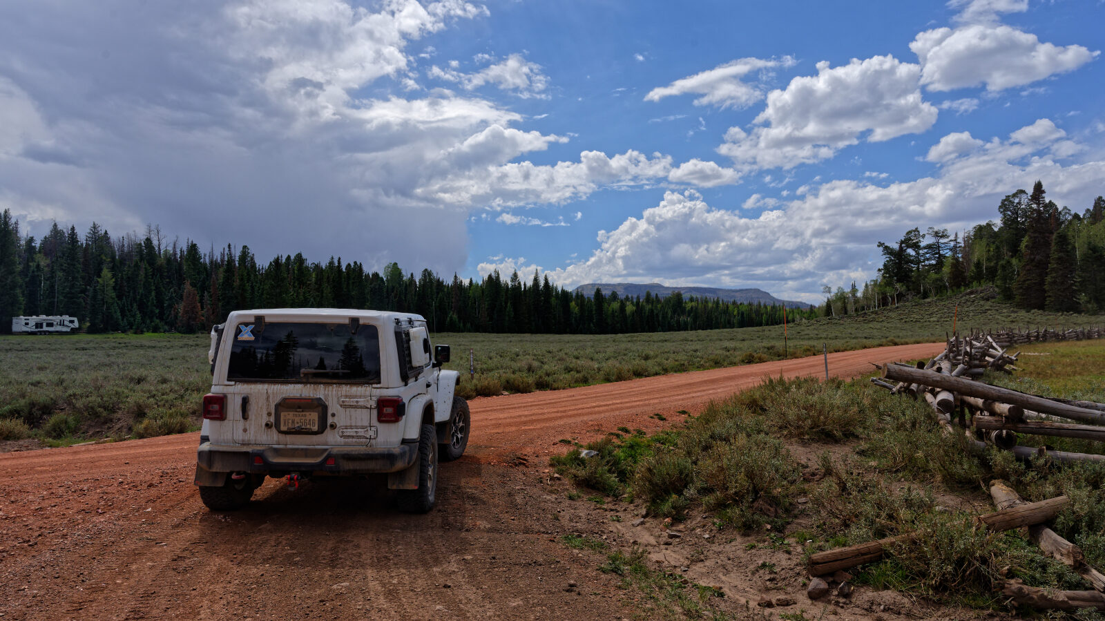
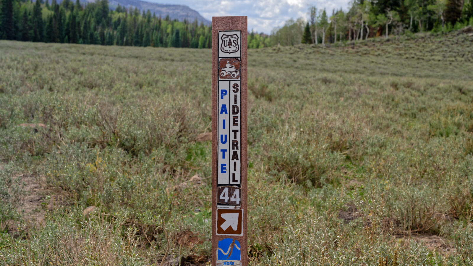
Waypoint 1 (38.55775, -111.97870)
This is Paiute Side Trail number 44.
Waypoint 2 (38.55646, -111.98988)
This may be the hardest part of the trail because of the ruts. It would be harder to get through if muddy.
Waypoint 3 (38.55284, -111.99157)
Waypoint 4 (38.55317, -111.99308)
Camping area with about eight sites, possibly more. Most are in trees and offer shade, and some are in the open.
Waypoint 5 (38.53793, -111.99884)
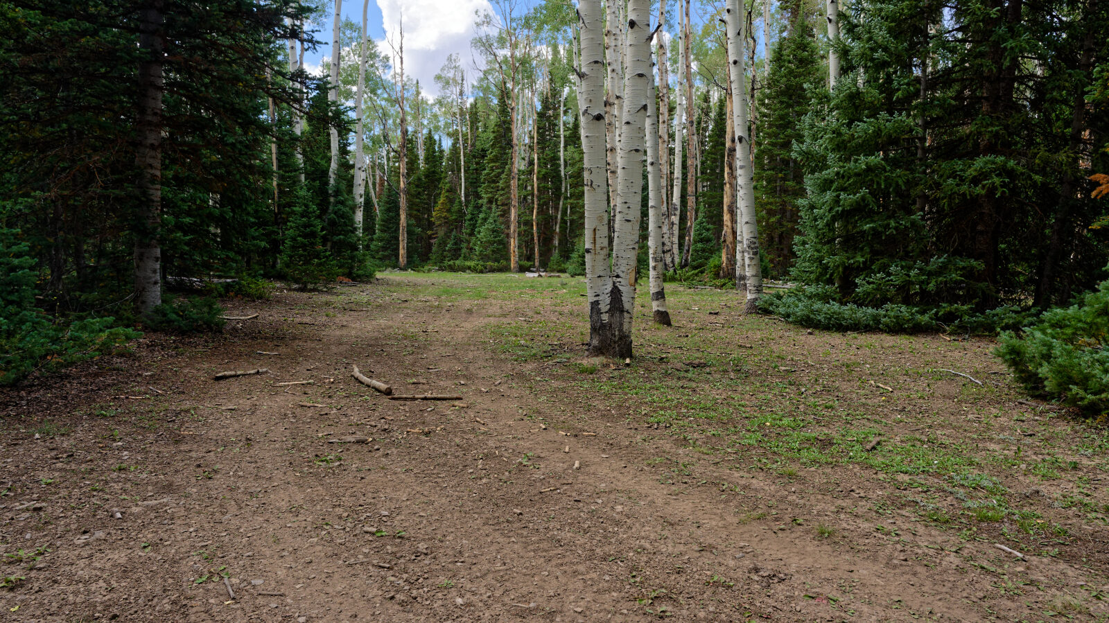
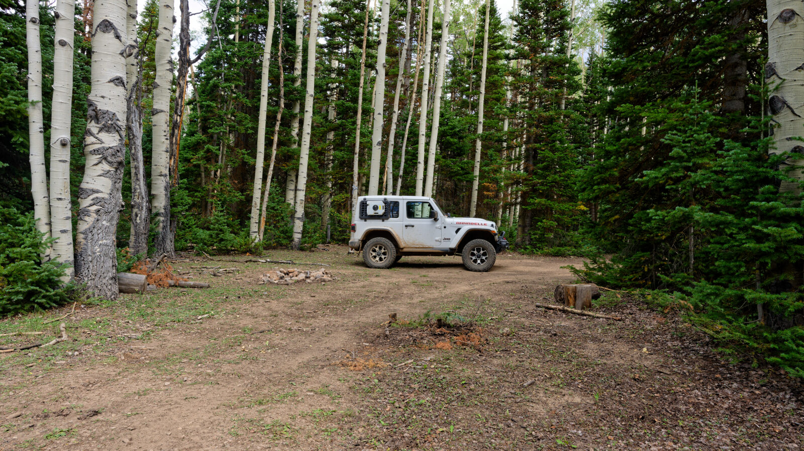
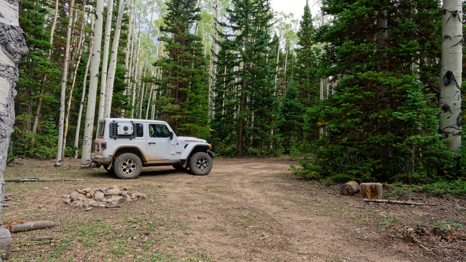
A spur here has three camping spots. They are tight, hold only one small rig, and are private and shaded.
Waypoint 6 (38.53053, -112.00046)
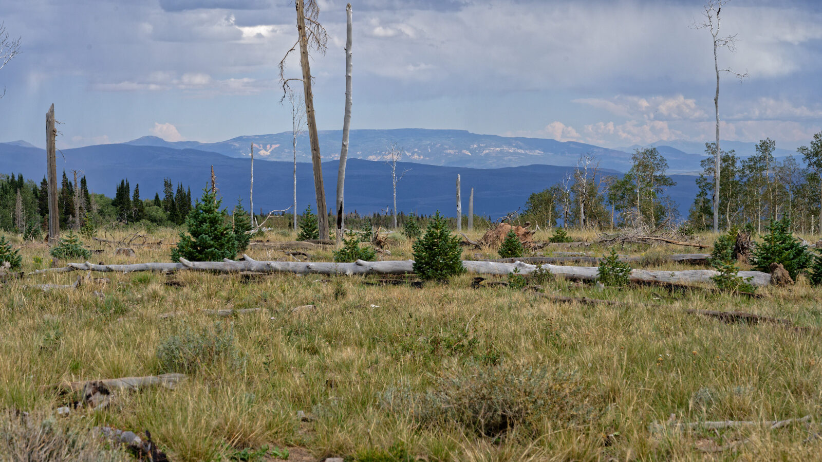
The trail passes through private property a few times. Watch for signs and stay on the road.
Waypoint 7 (38.52561, -112.02477)
Waypoint 8 (38.52550, -112.03797)
Private property again. The trail wanders off the road in places, so stay on the road.