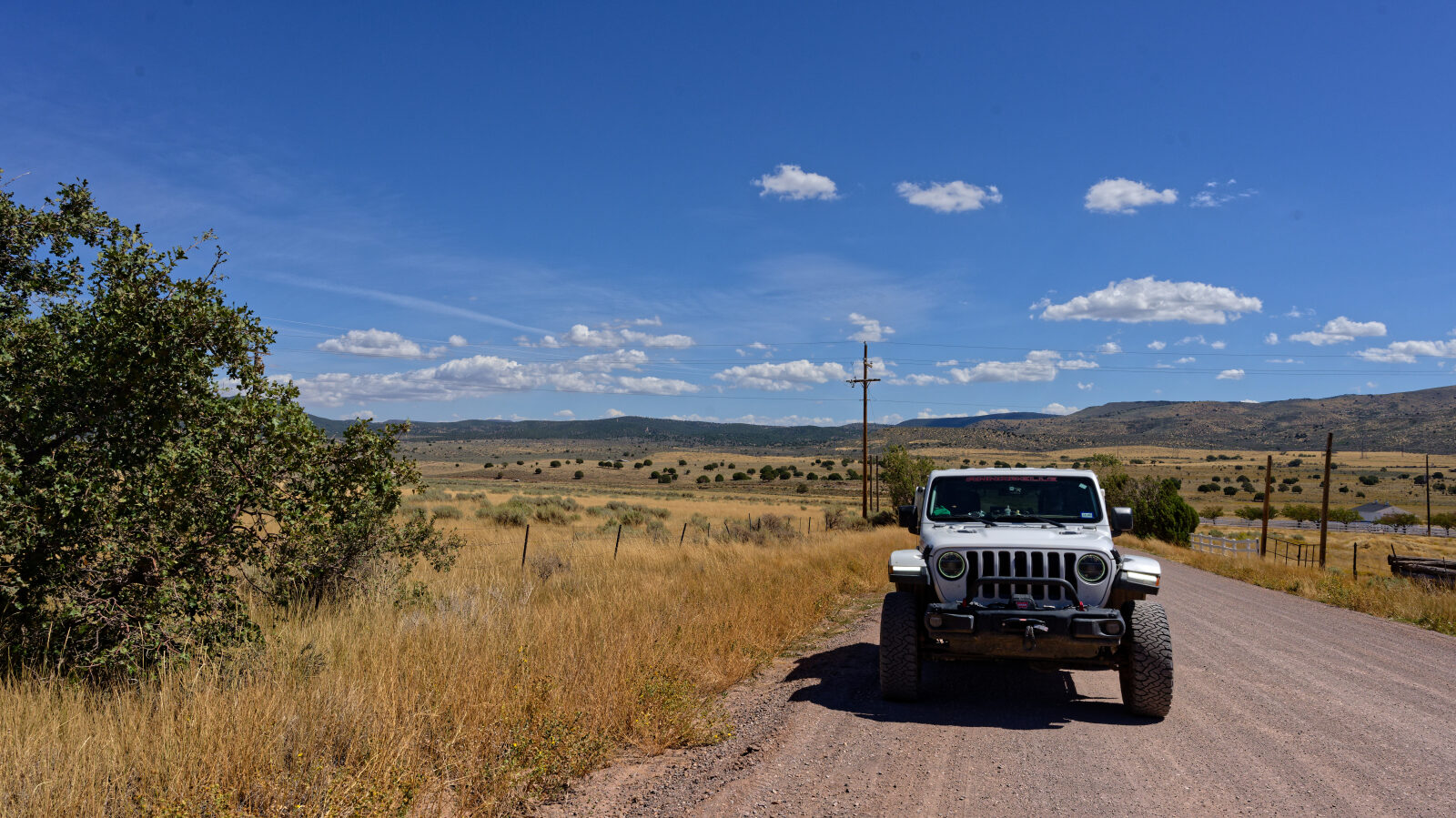
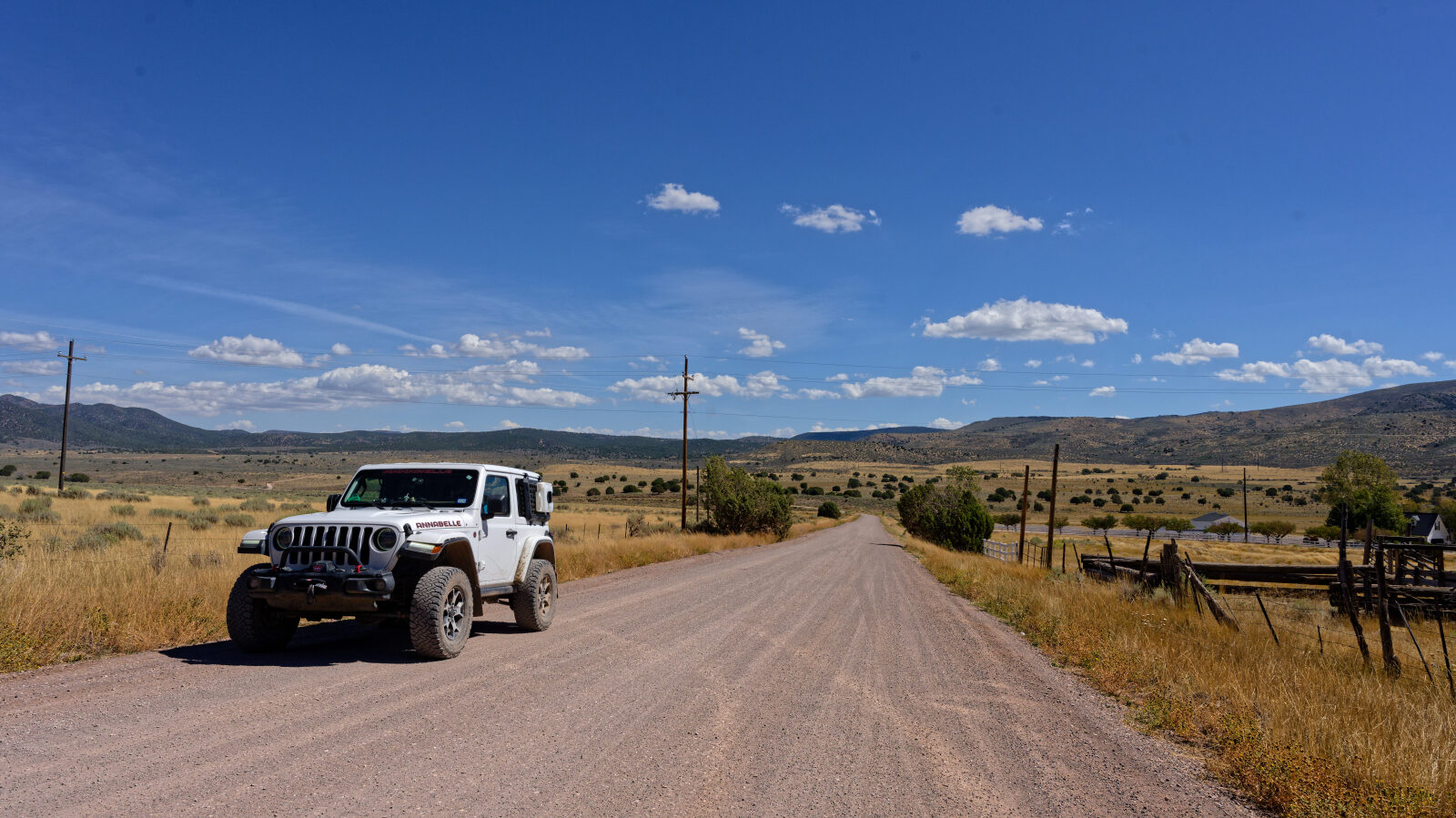
Pinto Road - Level 1
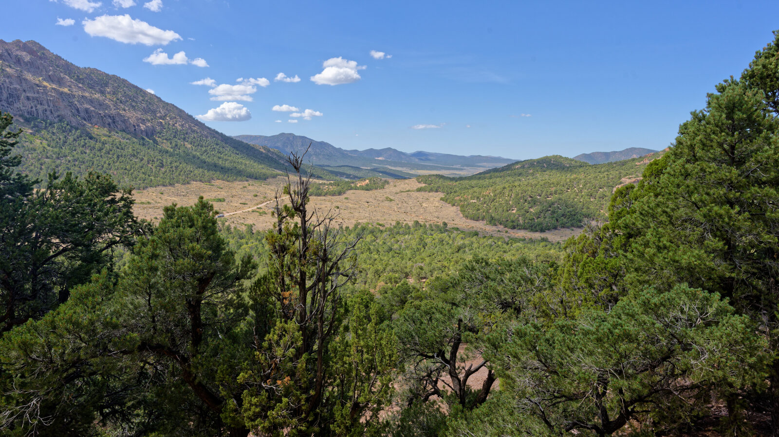
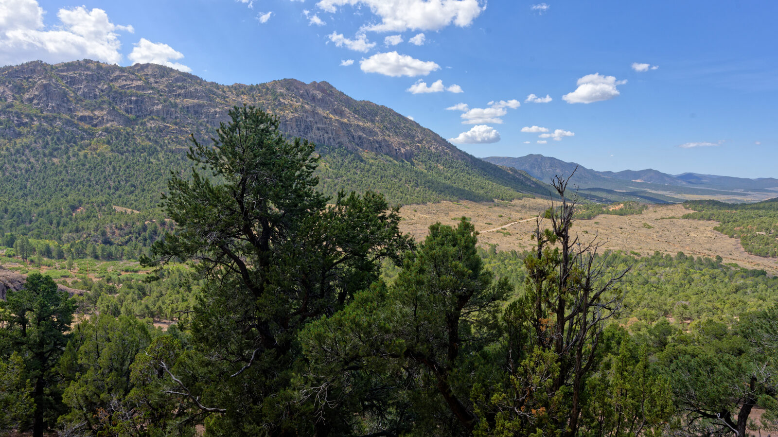
Pinto Road crosses the Iron Mountain area in southwestern Utah, running through juniper and pinyon country west of Cedar City.
The route passes a mix of national forest and private land, with a few dispersed camping spots and a short hike to Lion's Mouth Cave near the start.
Trail Summary
- LocationIron County, Utah
- Distance21.4 miles
- DifficultyLevel 1
- Elevation5,796 ft to 6,747 ft with a 951 ft change
- Travel Time1 hour 28 minutes
Difficulty
Suitable for high clearance 2WD
Level 1 is an Easy rating, suitable for high clearance 2WD vehicles. Stock equipment is enough, and no special gear is needed. Expect dirt and rocky surfaces with obstacles under 5 inches, such as rocks, dips or ruts, and gentle grades with good traction. The road is typically two vehicles wide. The log marks one spot as a level 1 hard spot, a washout or rut, but it stays within the Easy range.
Terrain
The surface is gravel.
Highlights
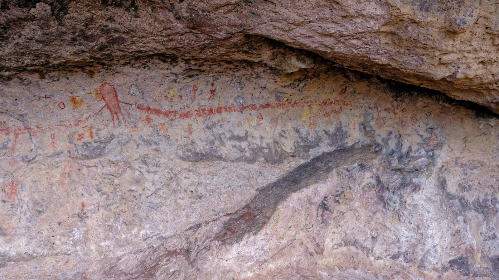
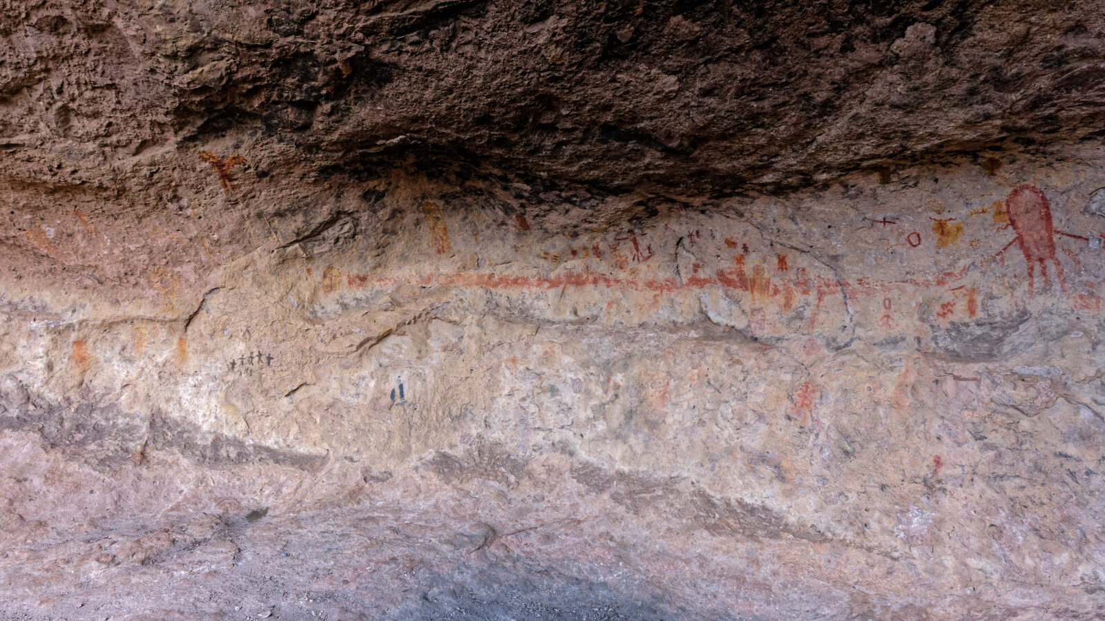
Lion's Mouth Cave is a short hike of about a third of a mile with a modest uphill that is not strenuous. Two camping options were noted. One near the start fits one or two small rigs or trailers, has shade, and sits beside an ATV trail. The other, farther along, holds a couple of trailers and a few rigs. It is not shaded but is set off the road, so it is more private. Land ownership alternates between Forest Service and private property, so stay on the road through the private sections.
Map
The interactive map needs JavaScript. Every waypoint is also listed below.
Waypoints
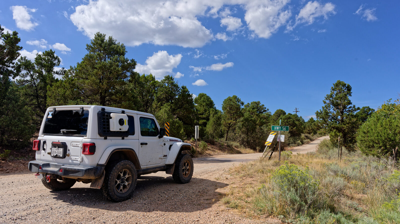
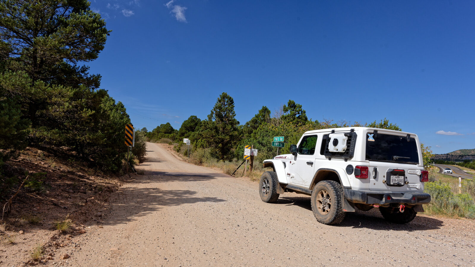
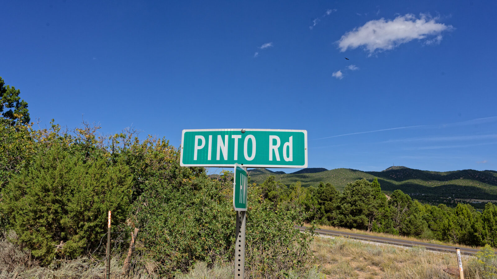
Waypoint 1 (37.60761, -113.35869)
Start of Pinto Road, also called Mountain Valley Road or Iron Mountain Road. The forest service number is 30009.
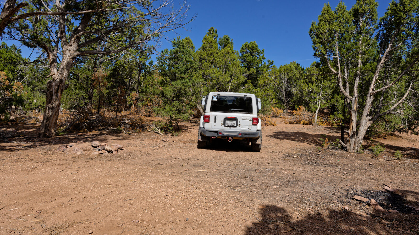
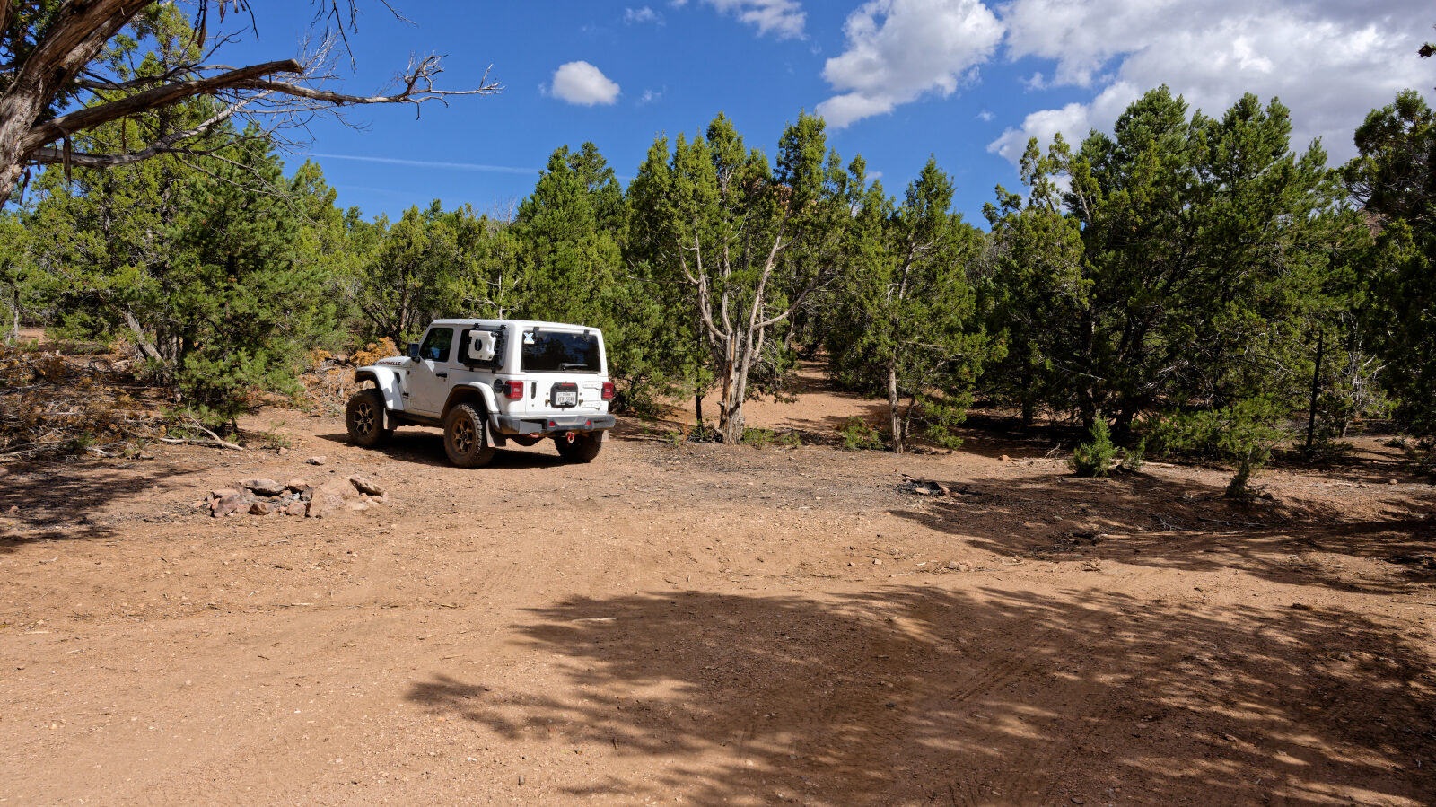
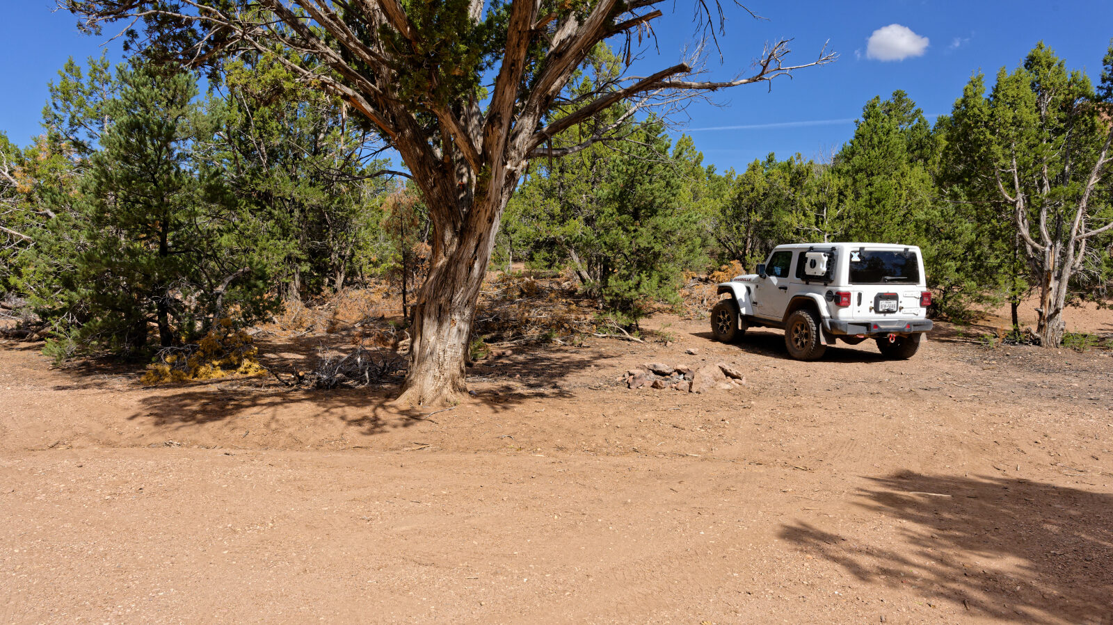
Waypoint 2 (37.59388, -113.38018)
Camping spot for one or two small rigs or small trailers. It has shade but is not private, and it sits next to an ATV trail.
Waypoint 3 (37.59729, -113.37614)
Lion's Mouth Cave. It is a short hike of about a third of a mile with a gentle uphill.
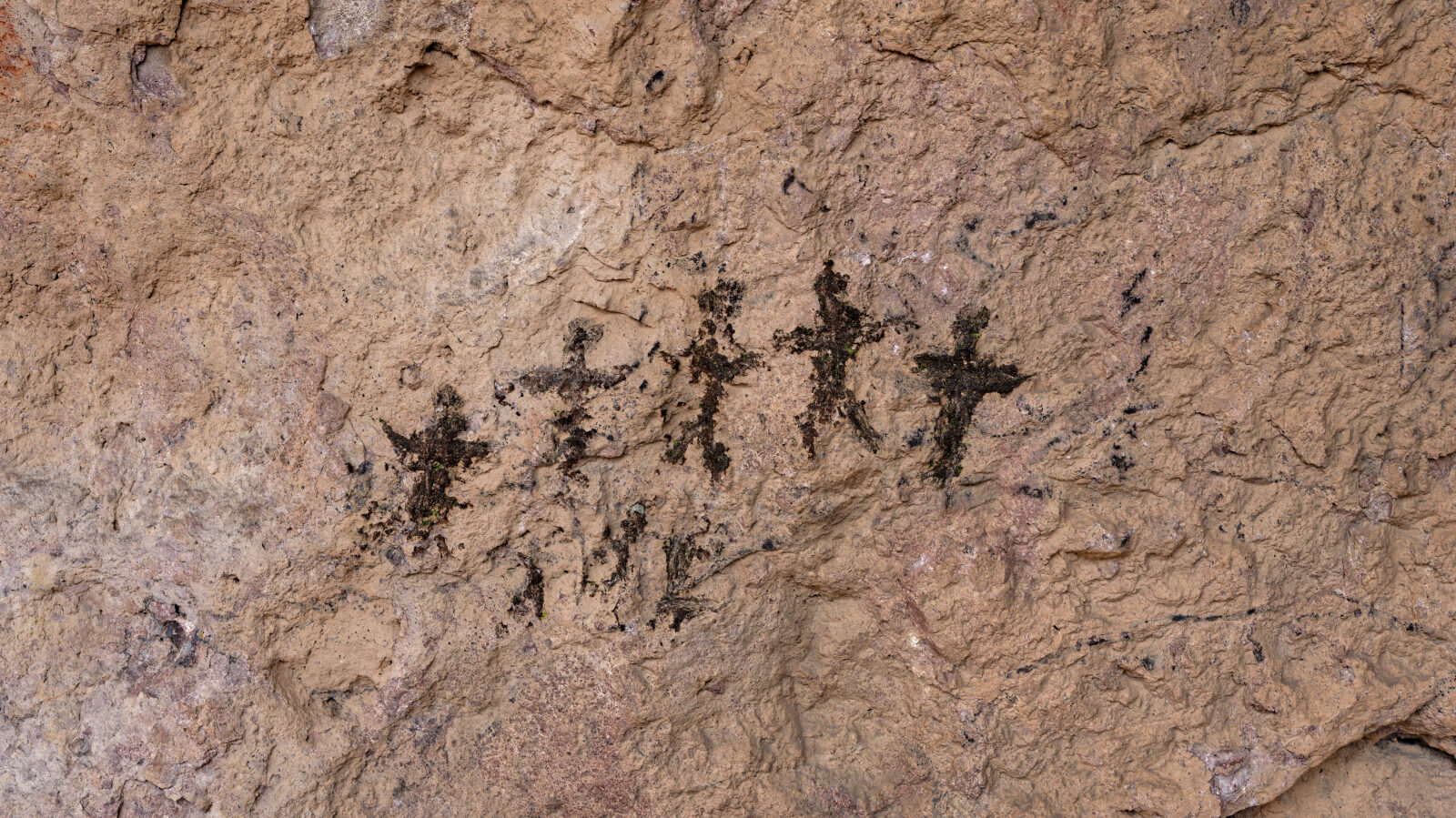
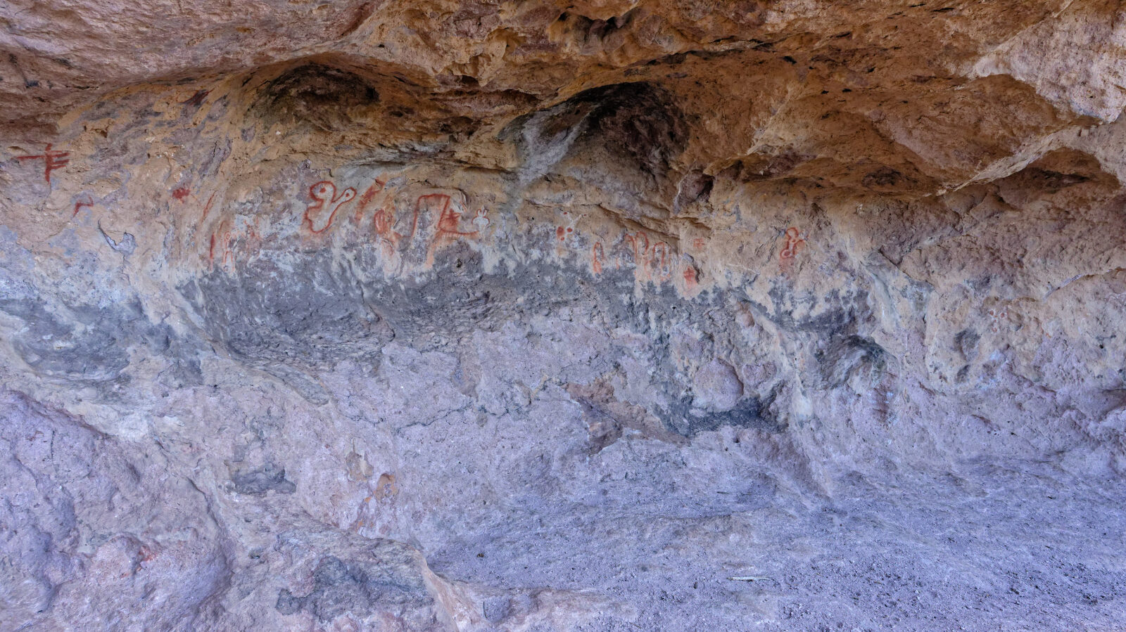
Waypoint 4 (37.59692, -113.37968)
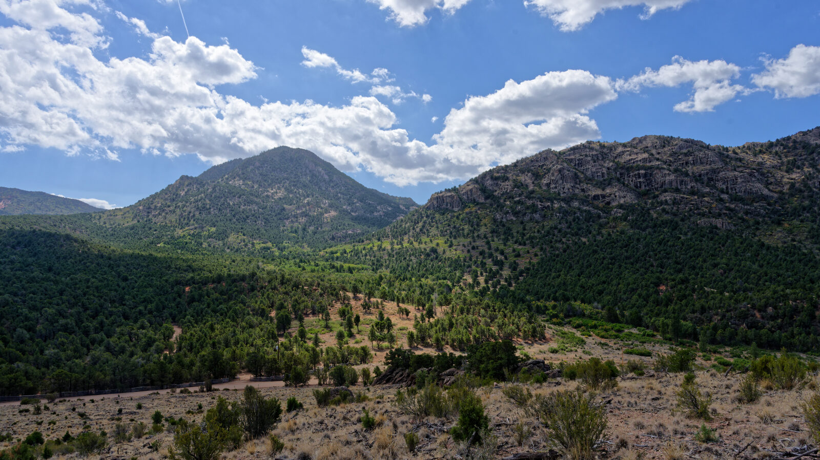
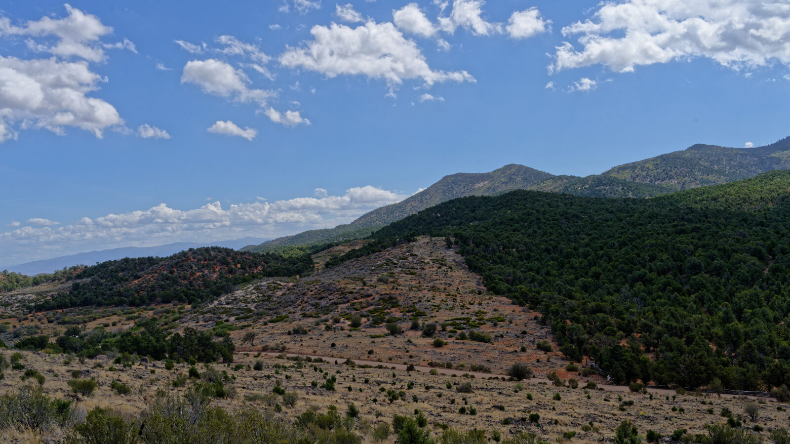
Waypoint 5 (37.59661, -113.37799)
Waypoint 6 (37.57362, -113.41446)
This section is private property.
Waypoint 7 (37.56215, -113.44345)
Forest Service property.
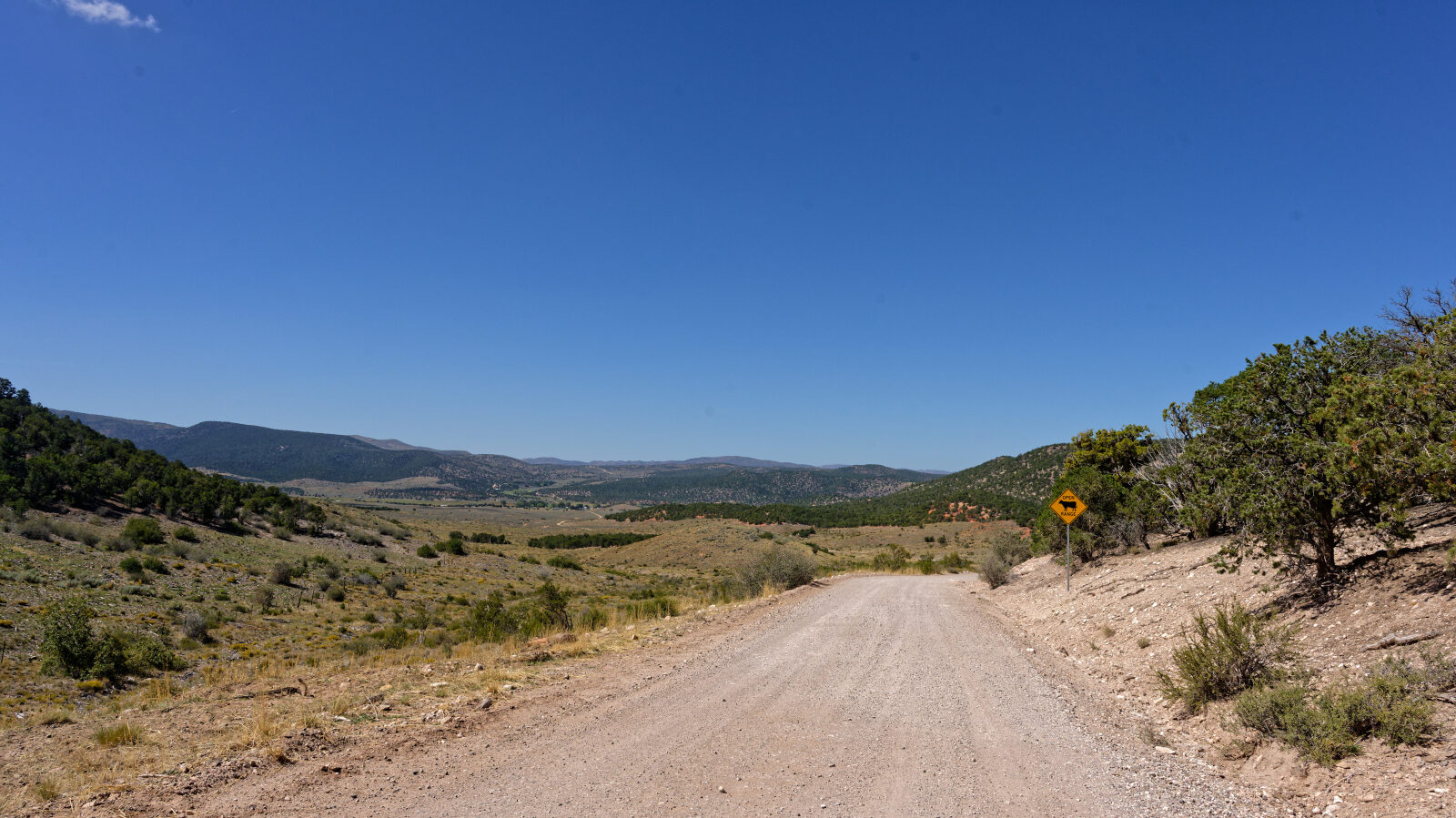
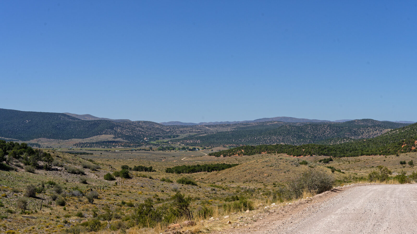
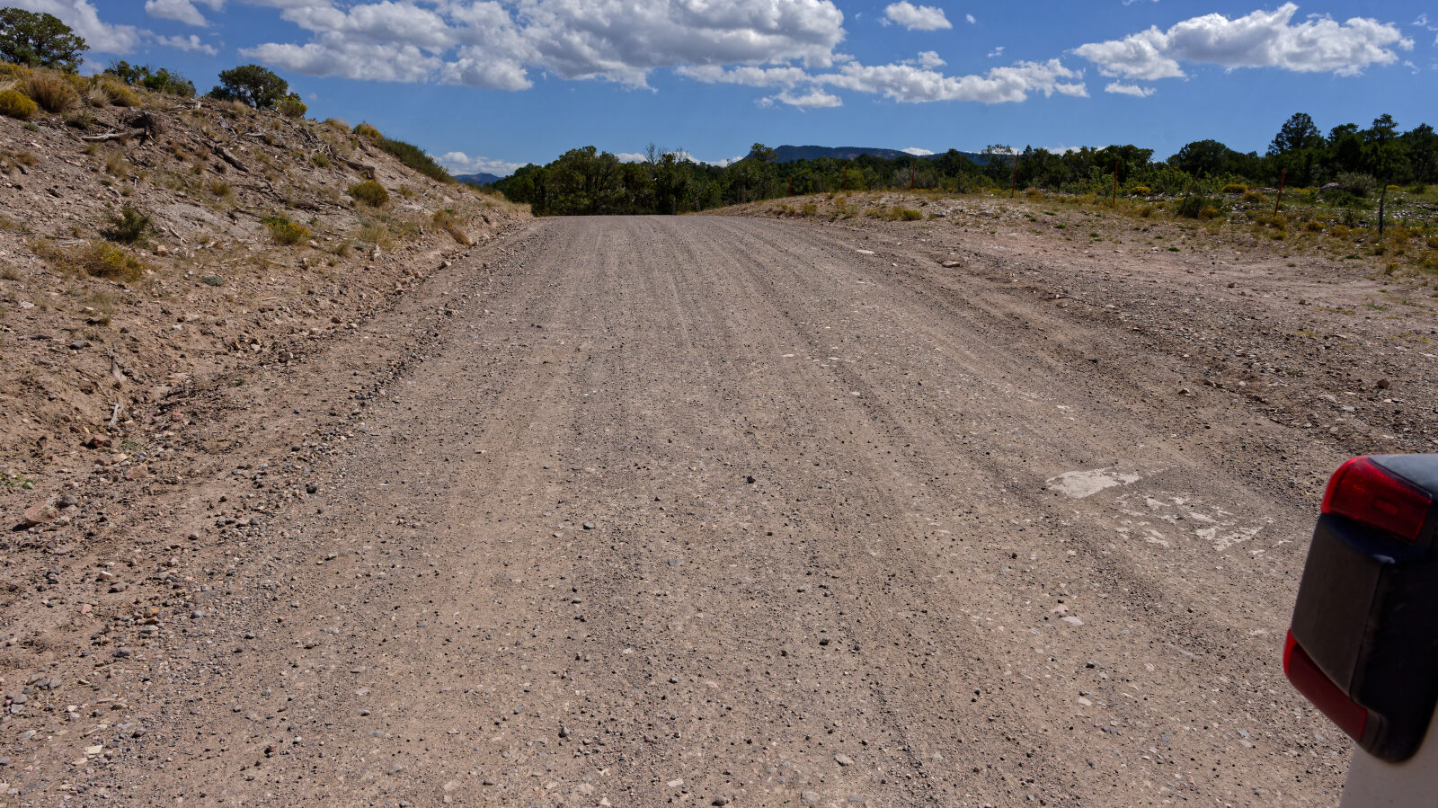
Waypoint 8 (37.55169, -113.48049)
A level 1 hard spot.
Waypoint 9 (37.53959, -113.51214)
Entering private property.
Waypoint 10 (37.53574, -113.52147)
Forest Service property.
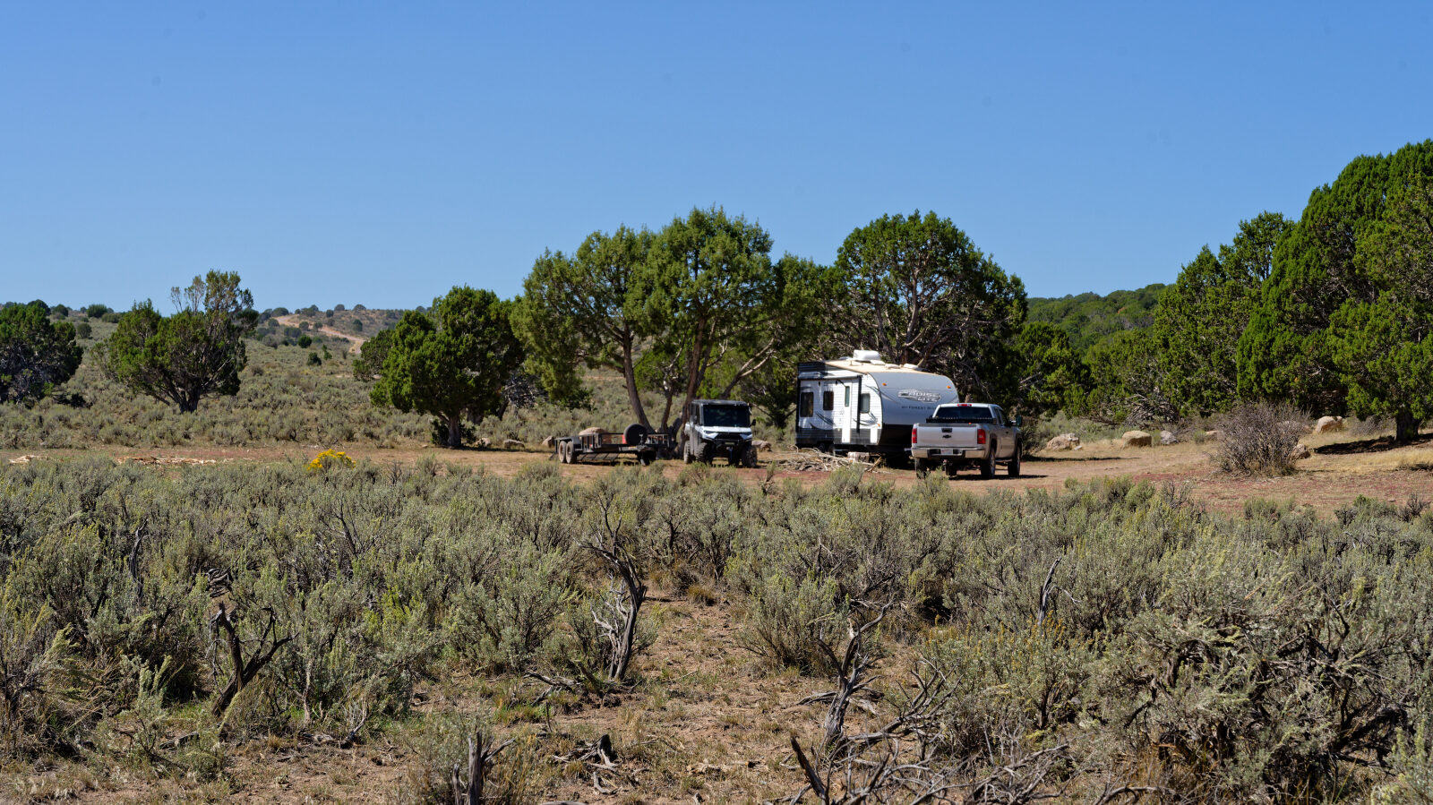
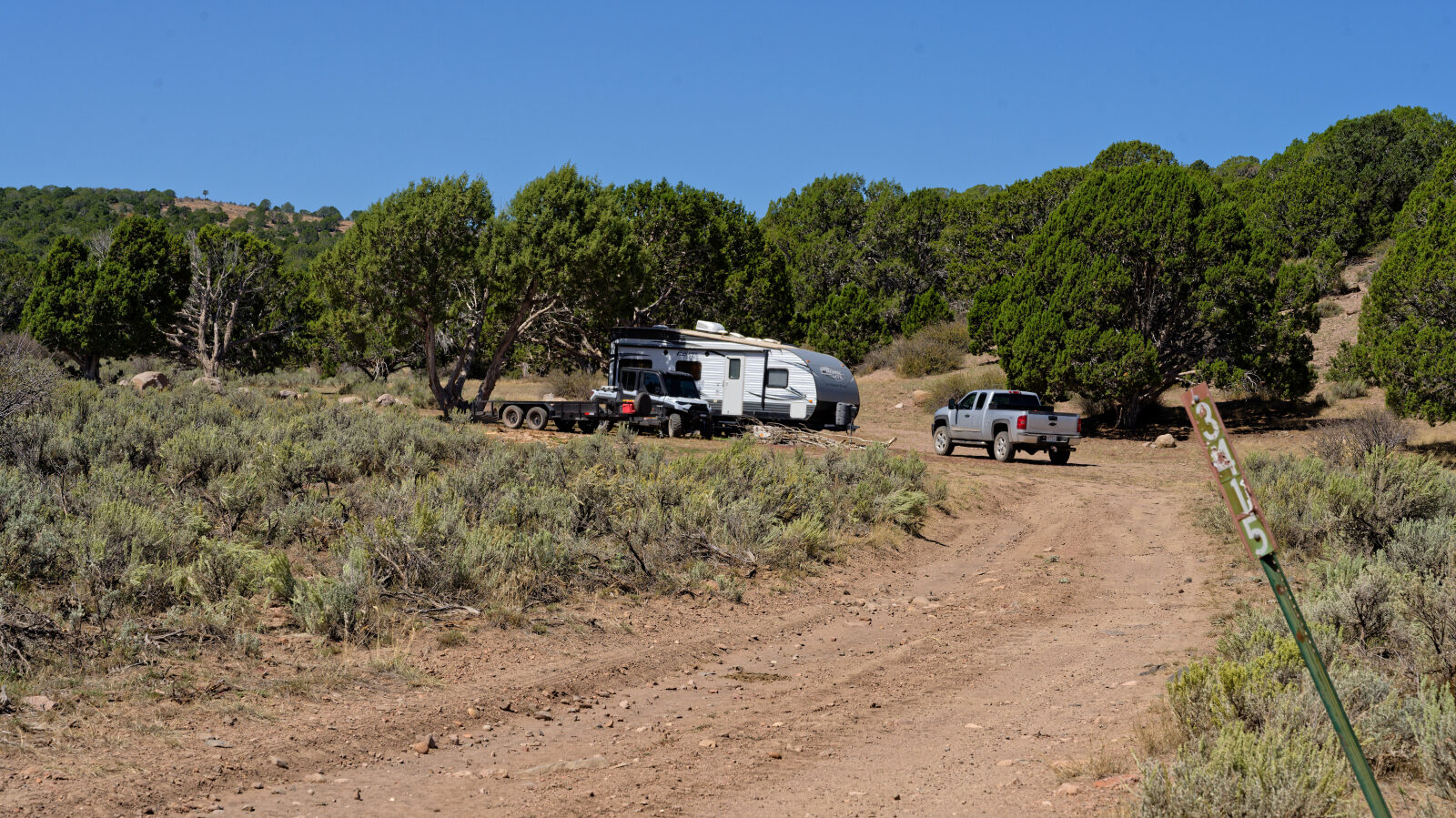
Waypoint 11 (37.53338, -113.54280)
Waypoint 12 (37.53162, -113.54245)
Camping spot that holds a couple of trailers and a few rigs. It has little shade but is off the road, so it is private.
Waypoint 13 (37.52957, -113.60998)
Private property.