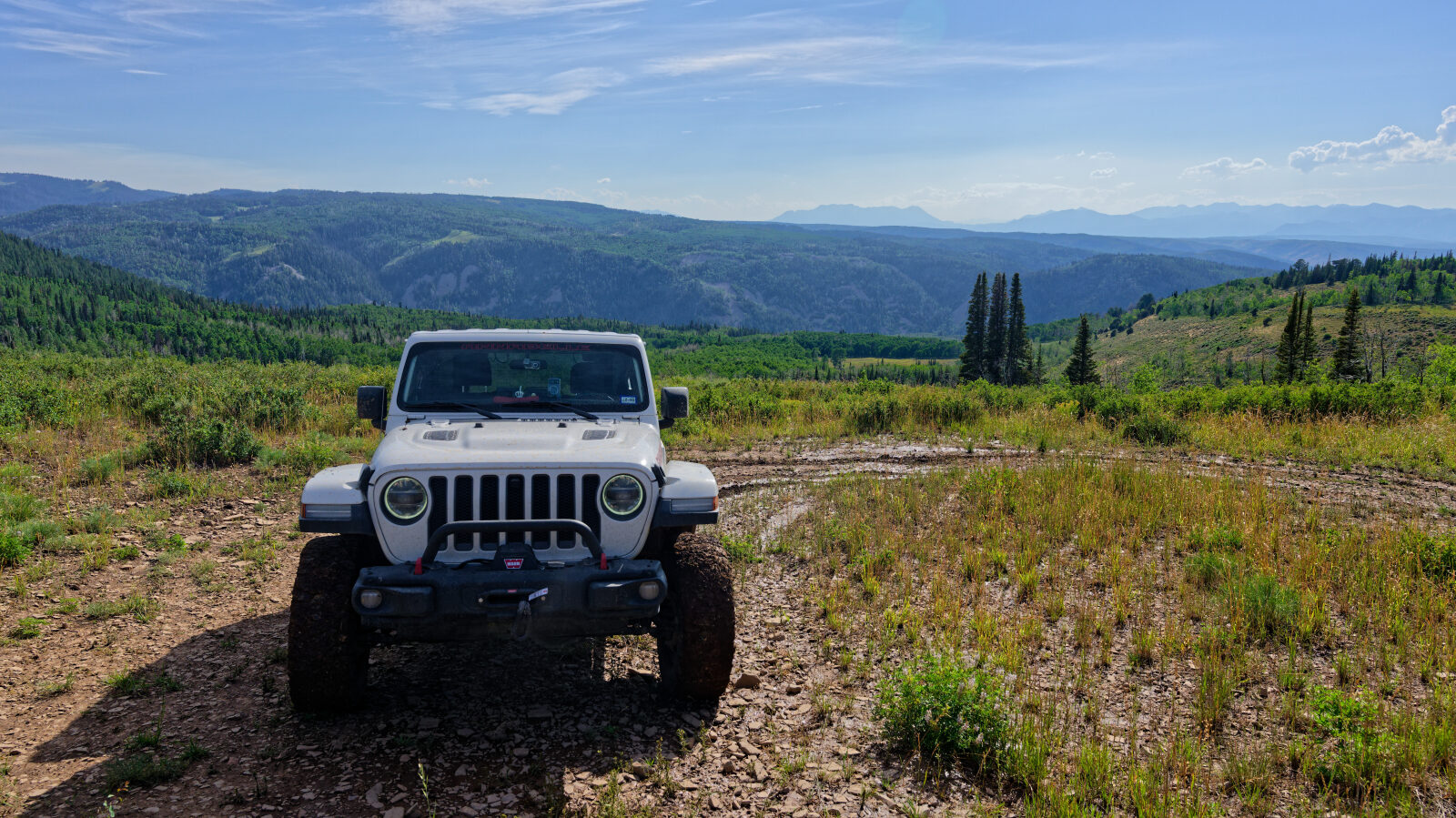
Piuta Road - Level 2 (optional 3)
Piuta Road is a short backcountry route in the high country of Wasatch County, Utah, southeast of Kamas in the western Uinta Mountains area. It runs through mountain terrain. The USGS lists a locale named Piuta Camp near the start of the route.
The road suits a relaxed drive for anyone who wants to get off the pavement without a technical route. At this elevation, snow can linger into early summer and the road can be wet after storms. Check conditions with the local land manager before you go.
Trail Summary
- LocationWasatch County, Utah
- Distance2.2 miles
- DifficultyLevel 2, with an optional Level 3
- Elevation8,980 ft to 9,232 ft with a 252 ft change
- Travel Time46 minutes
Difficulty
Typically suitable for high clearance 2WD
This is an Easy, Level 2 route that suits a high clearance 2WD vehicle. Stock equipment is enough, though the surface will test tire traction and ground clearance. Expect a dirt or rocky road that is typically not maintained after rain or snow. Obstacles are usually under 9 inches, such as rocks, dips or ruts, and shallow water crossings and small ledges under 12 inches are possible. The road is generally one to two vehicles wide. The driver's log does not call out any obstacle that needs special attention. A harder Level 3 line is optional. It suits a high clearance 4x4 with off-road tires, and it may involve ledges, drops or climbs under 12 inches, loose or uneven surface and careful tire placement. The driver can take that line or stay on the easier one.
Terrain
The road stays between roughly 8,980 and 9,232 feet, so the climbing is gentle. The surface is dirt and rock typical of mid-elevation Uinta Mountain country. It can be soft or muddy when wet. The route is a high-elevation mountain road, and conditions change quickly with weather and season.
Highlights
The road passes the mapped site of Piuta Camp, a named locale on USGS maps. At this elevation the road is usually cooler than the valleys around Heber and Kamas, which helps on summer days. The route is short enough to combine with other roads in the area.
Map
The interactive map needs JavaScript. Every waypoint is also listed below.
Waypoints
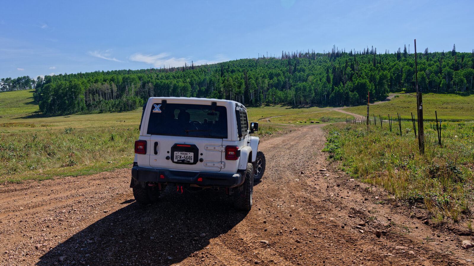
Waypoint 1 (40.53163, -111.03190)
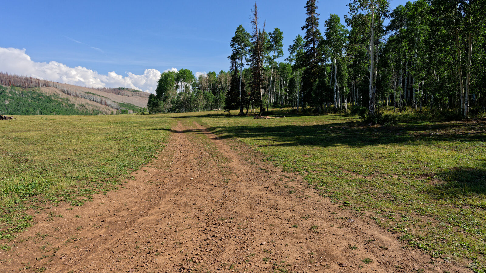
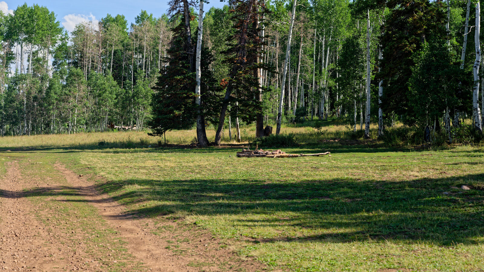
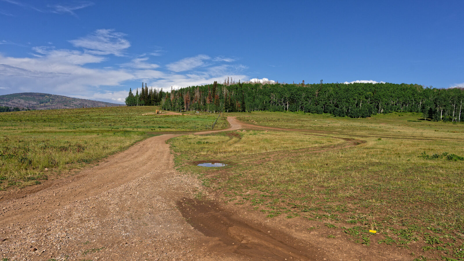
Waypoint 2 (40.53130, -111.03396)
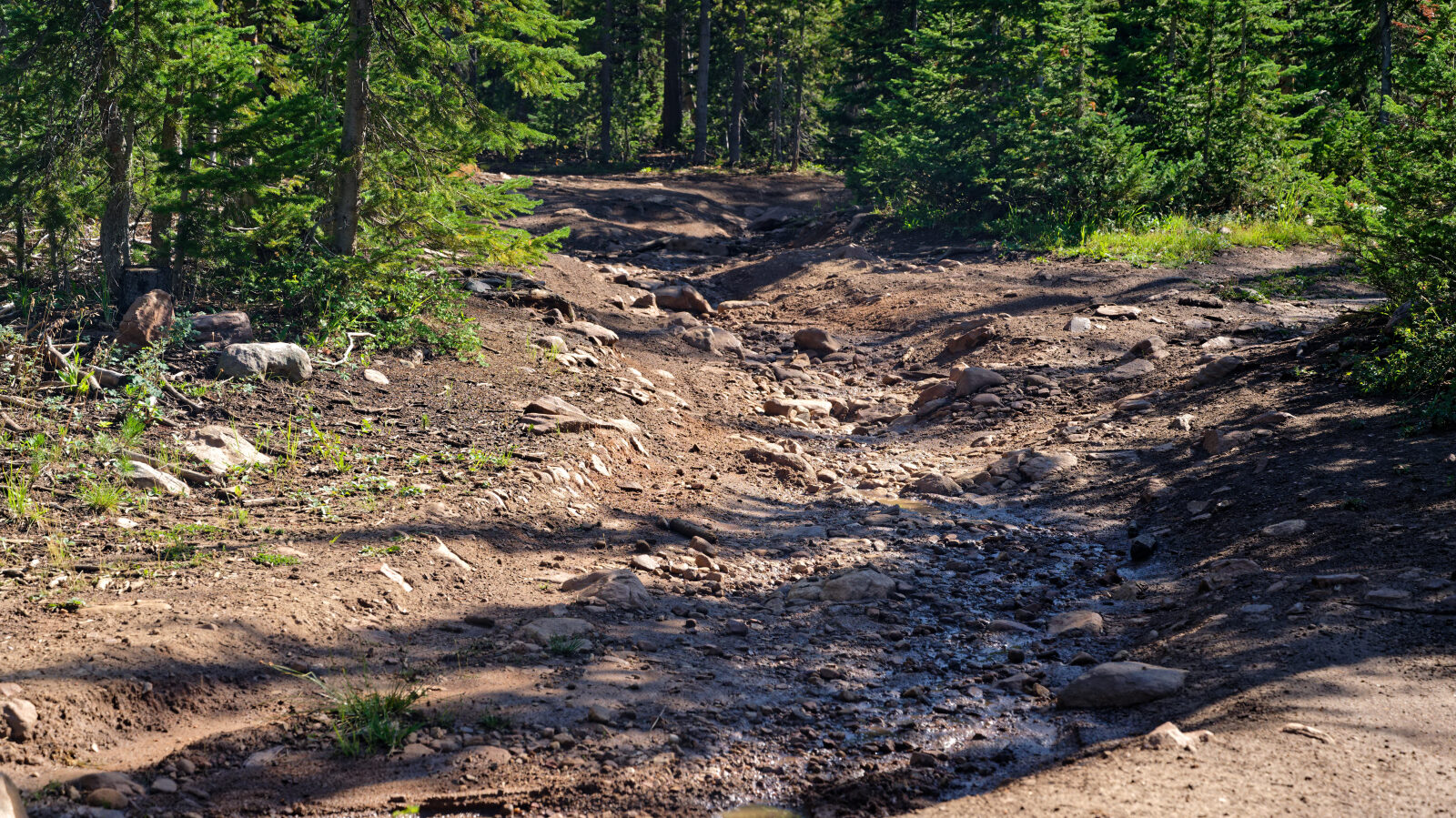
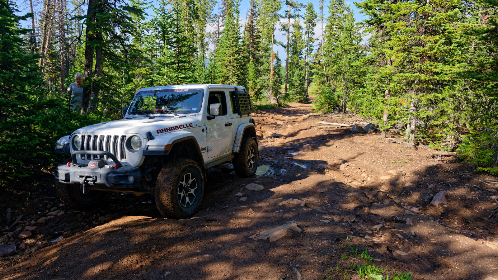
Waypoint 3 (40.53500, -111.04604)
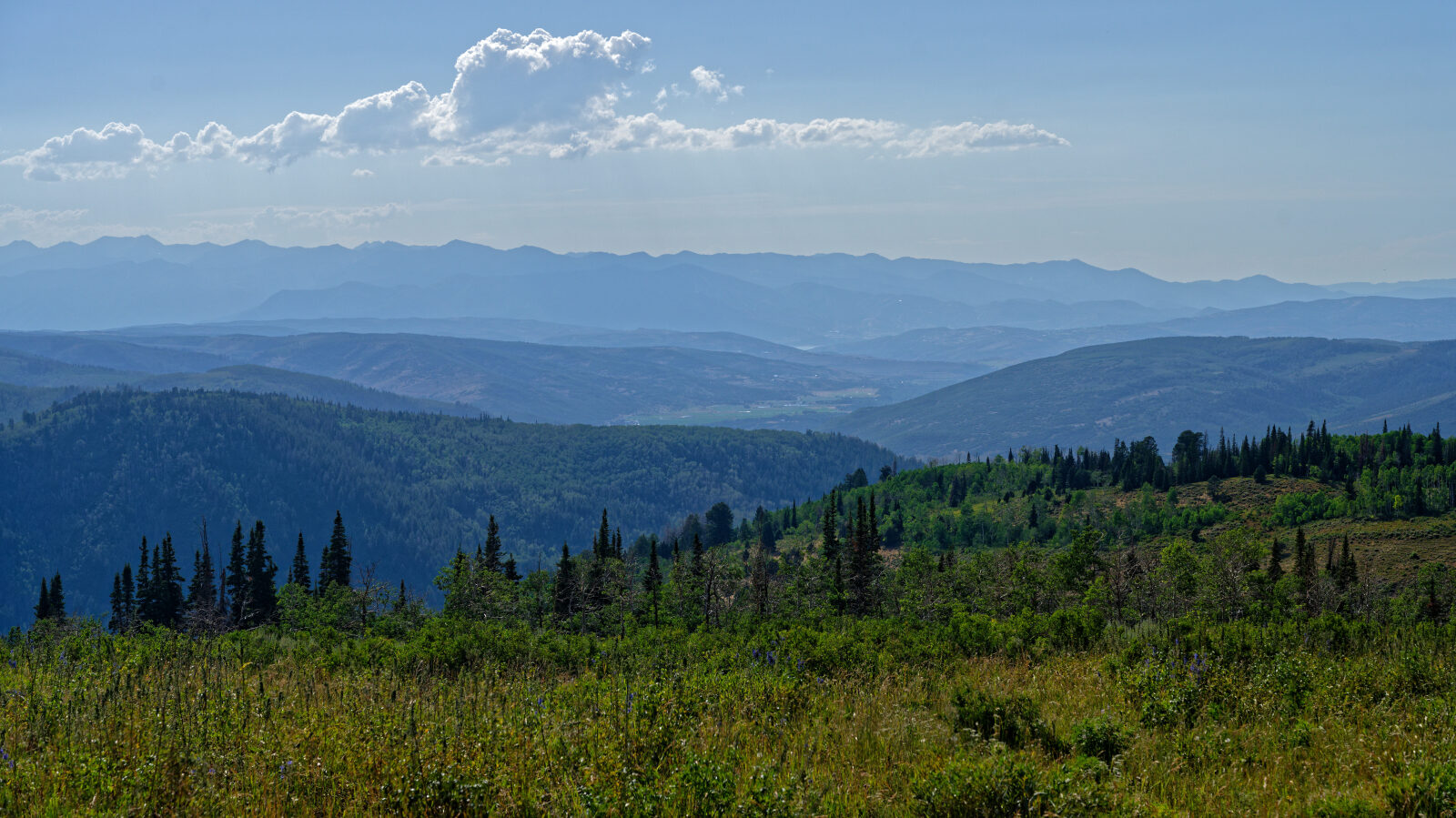
Waypoint 4 (40.53572, -111.06088)