Red Hills Radio Tower Trail Road - Level 2
Red Hills Radio Tower Trail Road is a short dirt road in the Red Hills area east of Parowan in Iron County, Utah. It climbs gently toward a radio tower site on the hillside above the valley.
The road is a quick side trip for anyone exploring the Parowan area. It ends at an overlook above the valley towns.
Trail Summary
- LocationParowan, Utah
- Distance1.5 miles
- DifficultyLevel 2
- Elevation6,515 ft to 6,611 ft with a 96 ft change
- Travel Time22 minutes
Difficulty
Typically suitable for high clearance 2WD
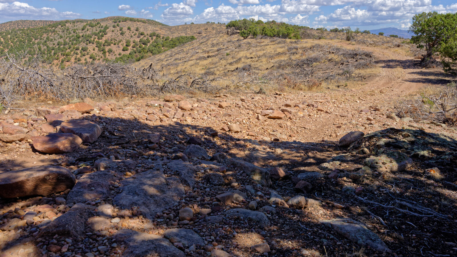
This is an Easy, Level 2 trail. Stock equipment is generally enough, though a high clearance 2WD vehicle is the better choice, since terrain can test tire traction and ground clearance. Expect dirt and rocky surface with obstacles under 9 inches, such as rocks, dips or ruts. The road is typically unmaintained after rain or snow and is one to two vehicles wide. The log notes a Level 1 hard spot at the start. Further along, at waypoint 2, there is a Level 2 hard spot where bigger rocks have to be driven over. Take these slowly and pick a line over the rocks.
Terrain
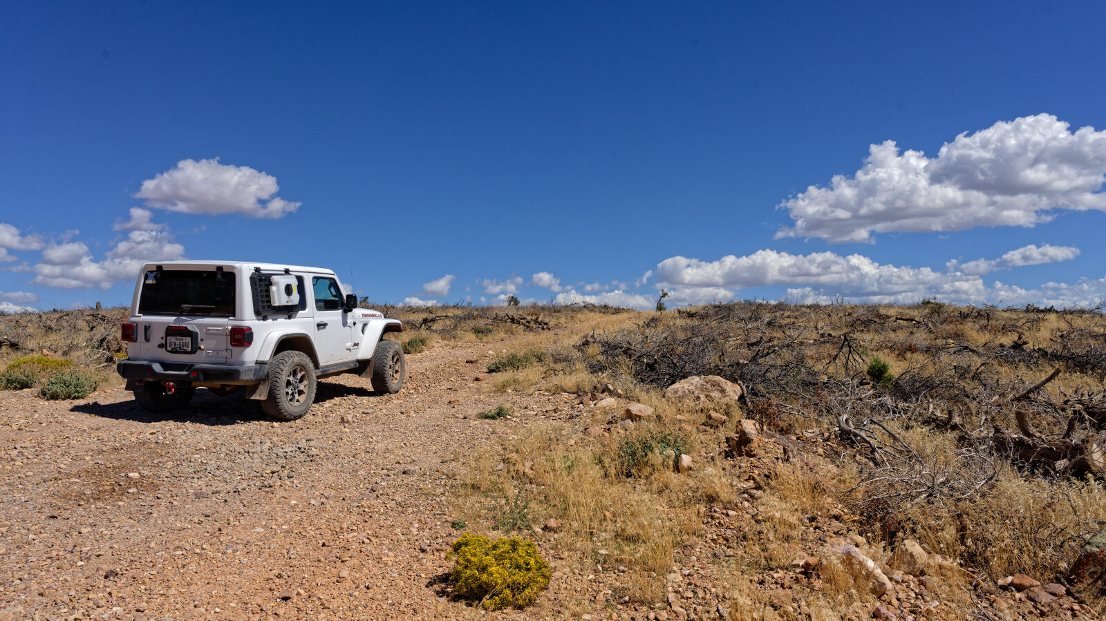
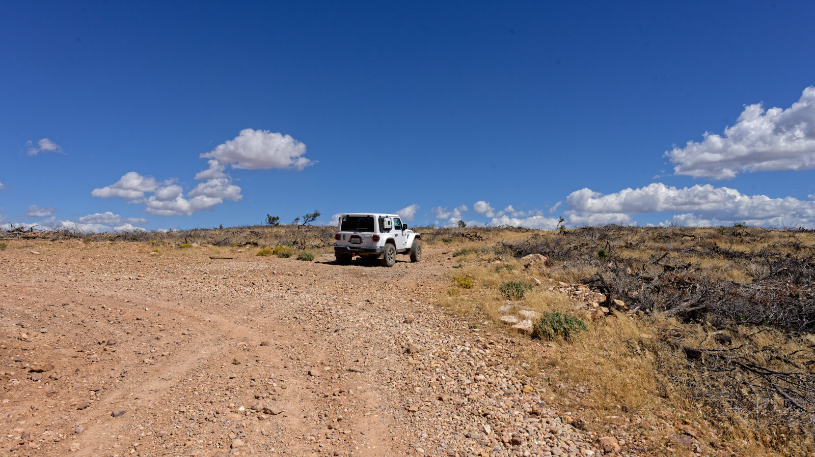
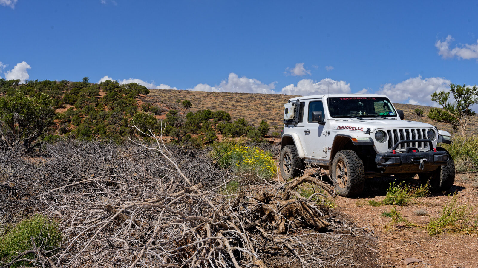
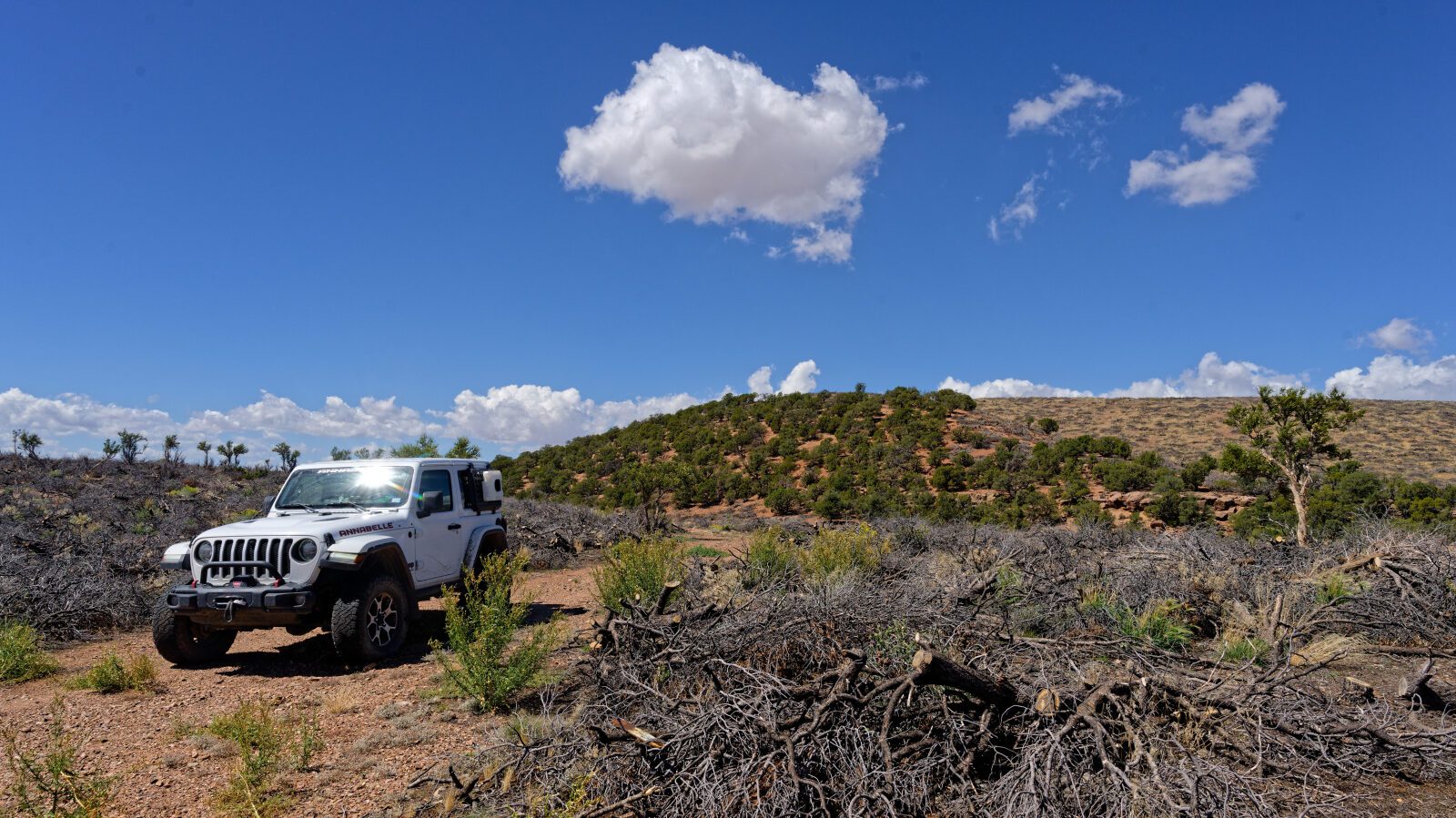
The road is dirt with sections of loose and larger rock. It runs through open hillside country in the Red Hills above the Parowan Valley, with little elevation change along the way.
Highlights
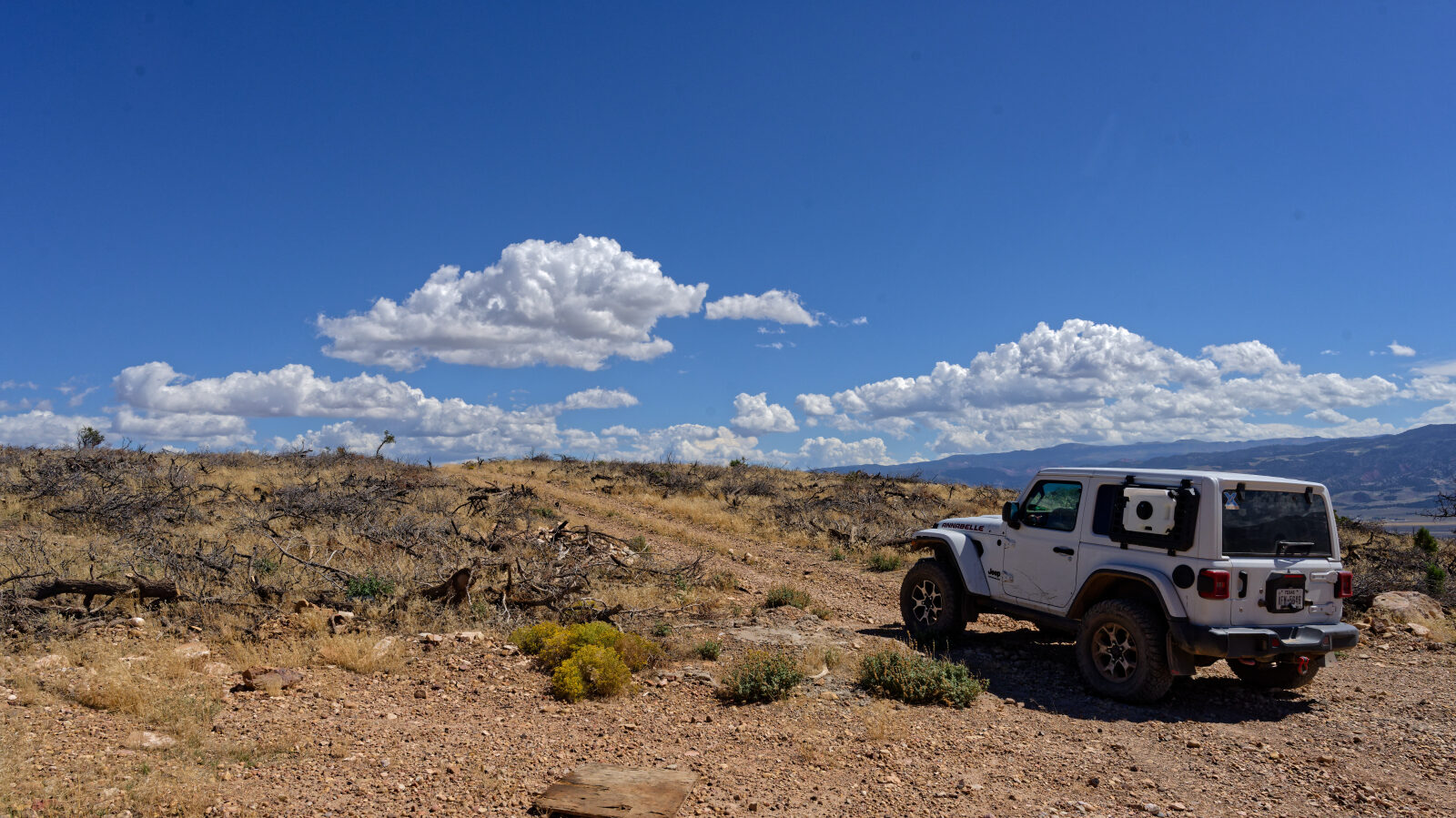
The end of the trail has a view over Parowan, Parowan Gap and Paragonah. Paragonah was settled in the early 1850s by people from Parowan and became a town in 1916. Mounds and petroglyphs near the town point to a substantial prehistoric Fremont presence in the area.
Map
The interactive map needs JavaScript. Every waypoint is also listed below.
Waypoints
Waypoint 1 (37.84295, -112.97207)
Start of Red Hills Radio Tower Trail Road. The log marks a Level 1 hard spot here.
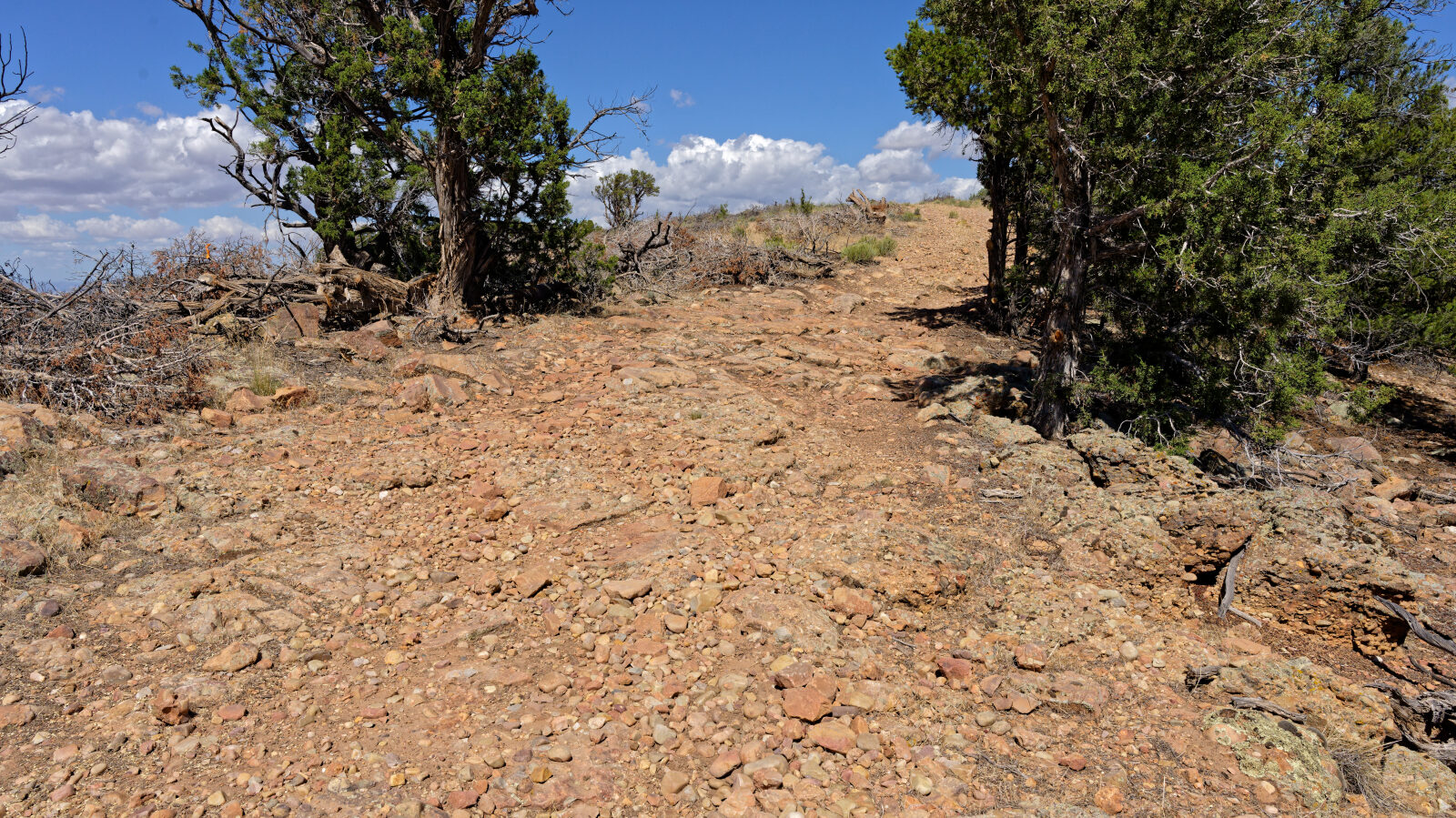
Waypoint 2 (37.84654, -112.96692)
Level 2 hard spot with bigger rocks to get over.
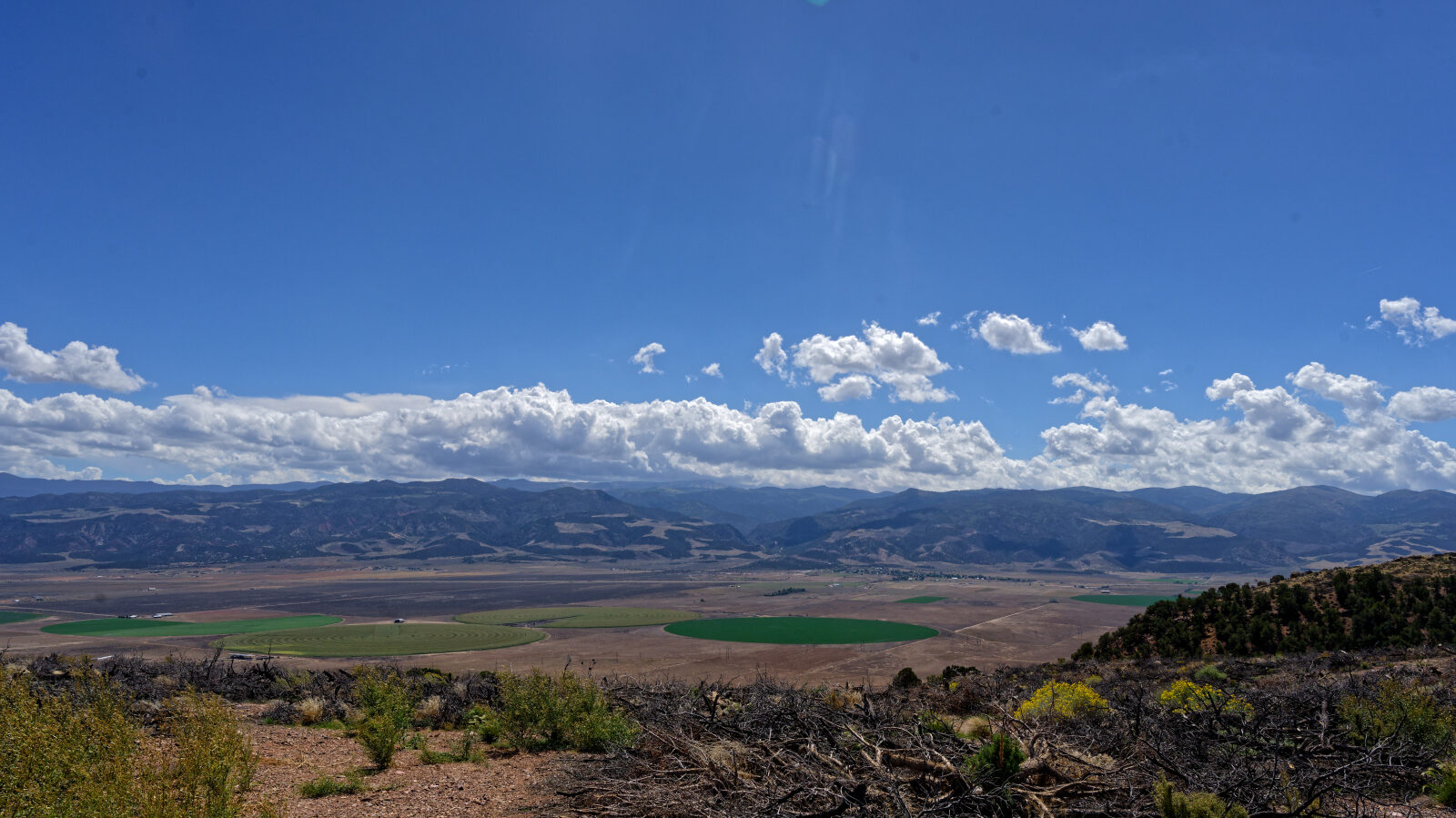
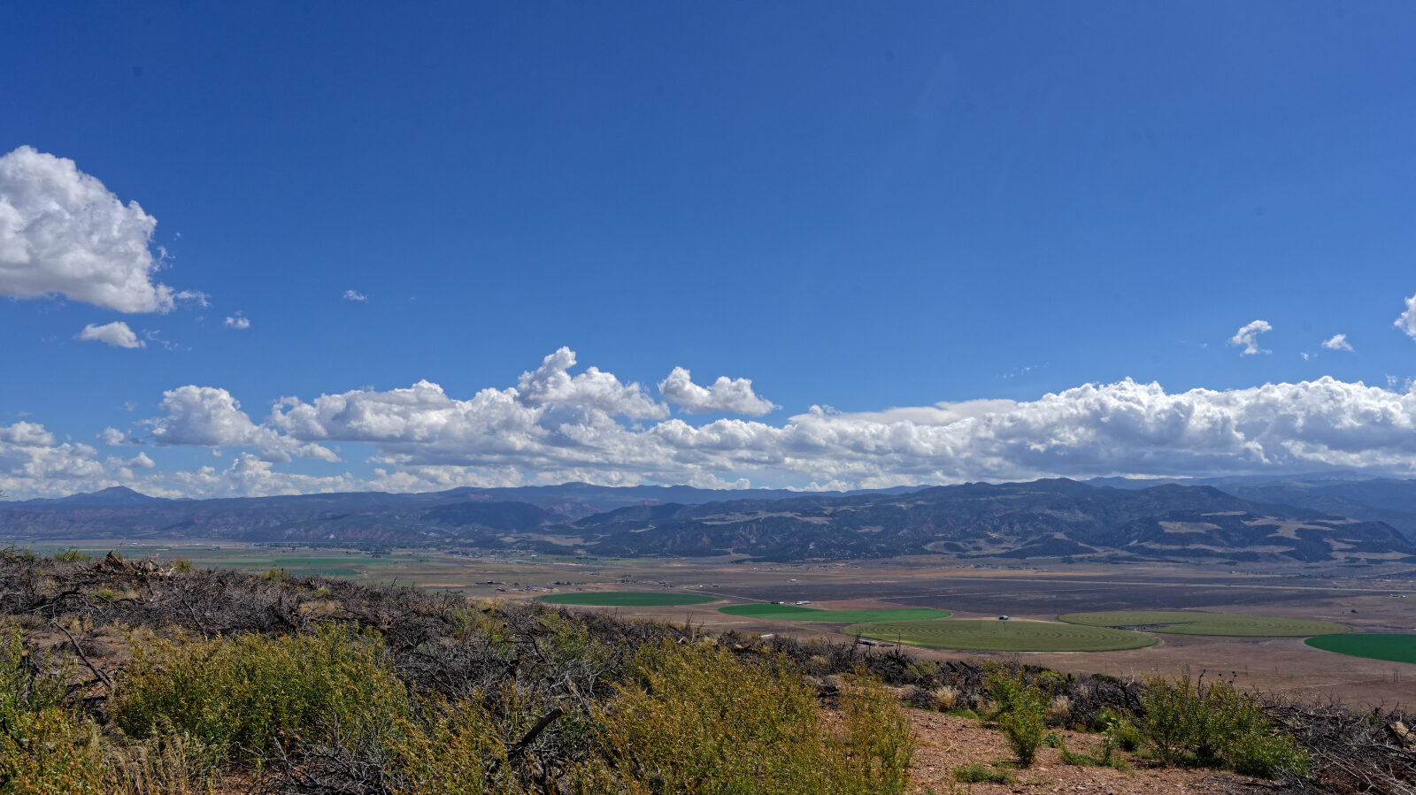
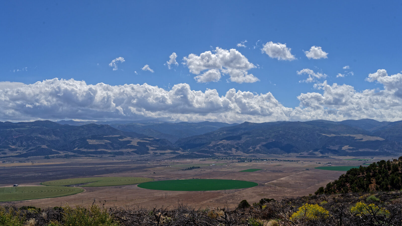
Waypoint 3 (37.85551, -112.95914)
End of the trail, with a view of Parowan, Parowan Gap and Paragonah.