Red Hills South Road - Level 3
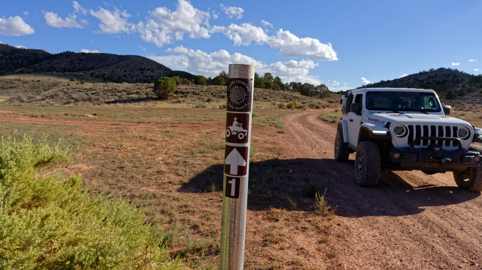
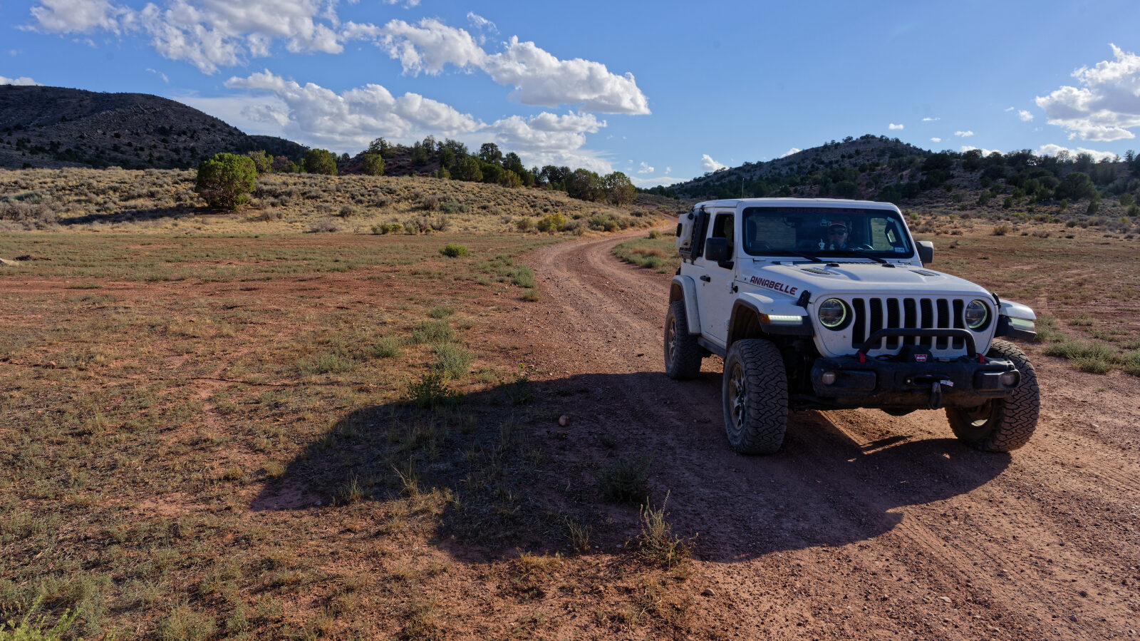
Red Hills South Road runs north through open sagebrush country in Iron County, southern Utah, on a dirt road that sees a mix of campers, target shooters and people out exploring. The route climbs gently, with wide views across the open ground and little cover along the way.
It is a quiet backroad that suits a short outing. Several pullouts along the way work as places to stop, shoot or camp. The road is on BLM land.
Trail Summary
- LocationEnoch, Utah
- Distance6.0 miles
- DifficultyLevel 3
- Elevation5,564 ft to 5,978 ft with a 414 ft change
- Travel Time44 minutes
Difficulty
Best suited for a high clearance 4x4
This trail is rated Level 3, Moderate: best suited to a high clearance 4x4. Expect a stock vehicle with good ground clearance, 4WD and off-road tires to handle it. Typical Level 3 conditions include uneven, rutted dirt, loose rocks, sandy washes, and obstacles up to 12 inches such as ledges and short steep grades. The road is generally one vehicle wide with places to pass. The log marks two hard spots. One is near the start, with a second near the photo spot just ahead, and both are described as Level 2 in difficulty. The other is further north around waypoint 5 and is a Level 3 spot. Take these at a steady pace and pick your tire placement. The rest of the route is easier than these spots.
Terrain
The road surface is packed dirt, running through open sagebrush country with little cover.
Highlights
Camping is possible at two spots along the road. The first, at waypoint 6, has room for 2 to 3 rigs and could fit a large trailer. It is a popular shooting area. The second, at waypoint 7, is another site beside the road. Both are open, with no shade, no trees and no privacy, so bring your own shade and expect wind. Watch for other people shooting nearby when you stop.
Map
The interactive map needs JavaScript. Every waypoint is also listed below.
Waypoints
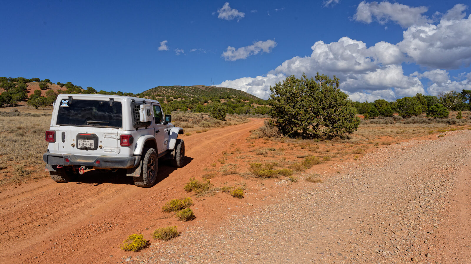
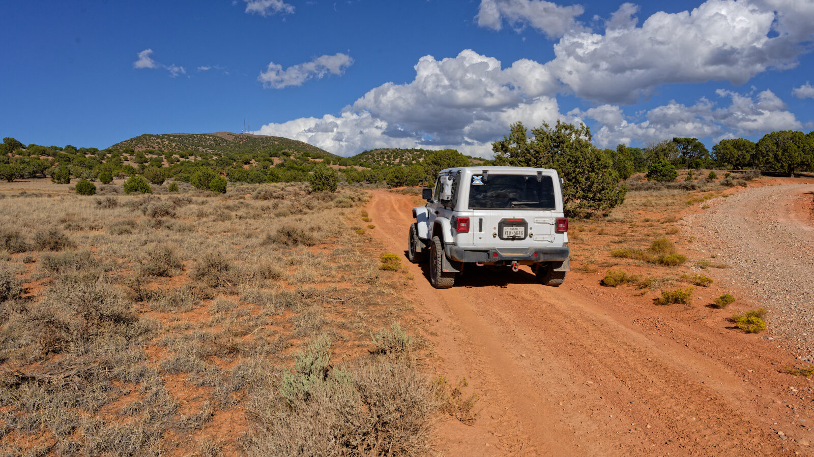
Waypoint 1 (37.83039, -112.99672)
Start of Red Hills South Road. This spot and the photo spot just ahead are Level 2 hard spots.
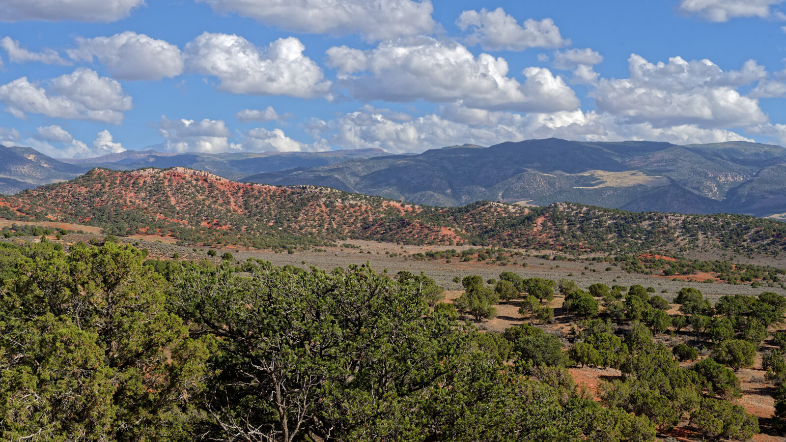
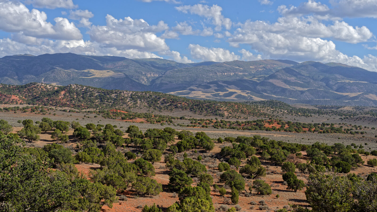
Waypoint 2 (37.83269, -112.99518)
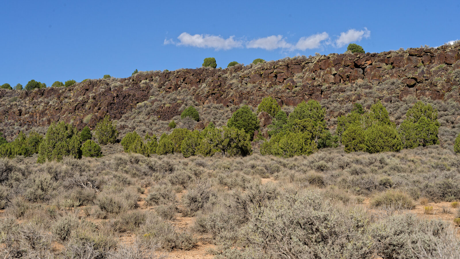
Waypoint 3 (37.83796, -112.99057)
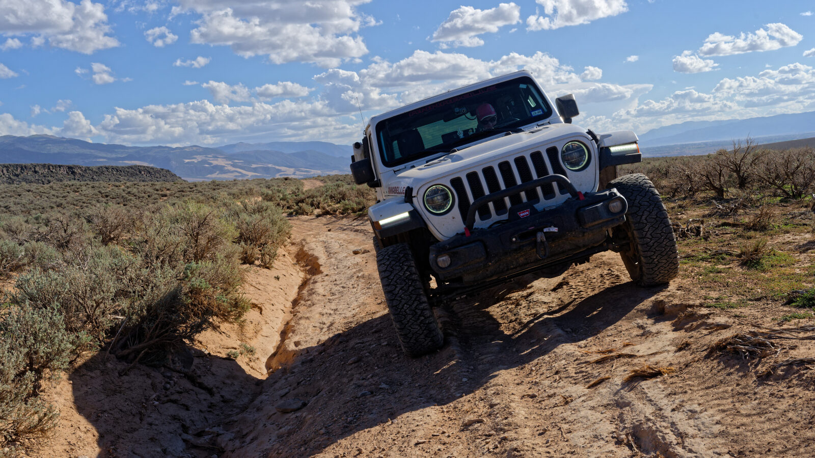
Waypoint 4 (37.85440, -112.98793)
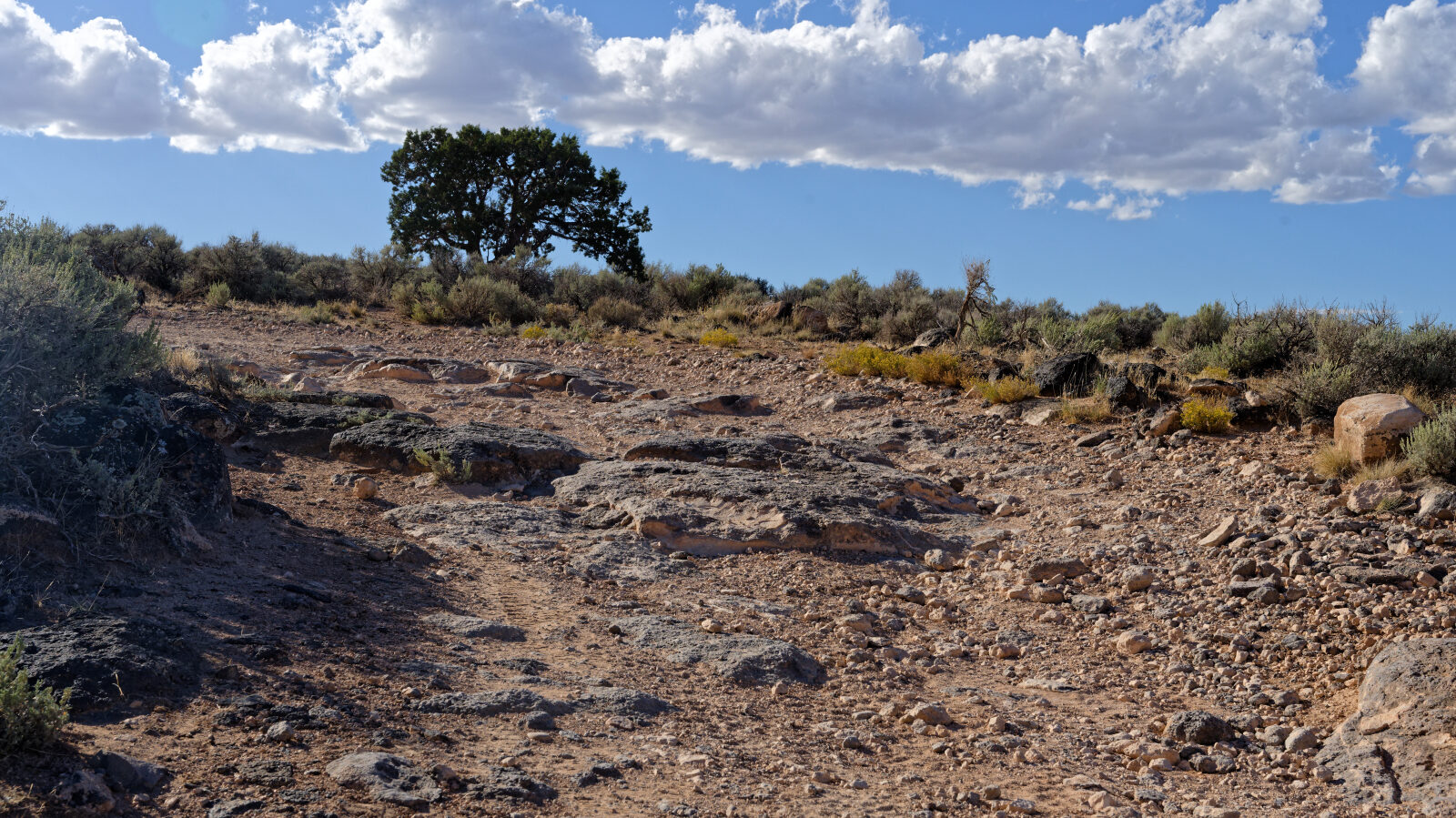
Waypoint 5 (37.88099, -112.98192)
A Level 3 hard spot.
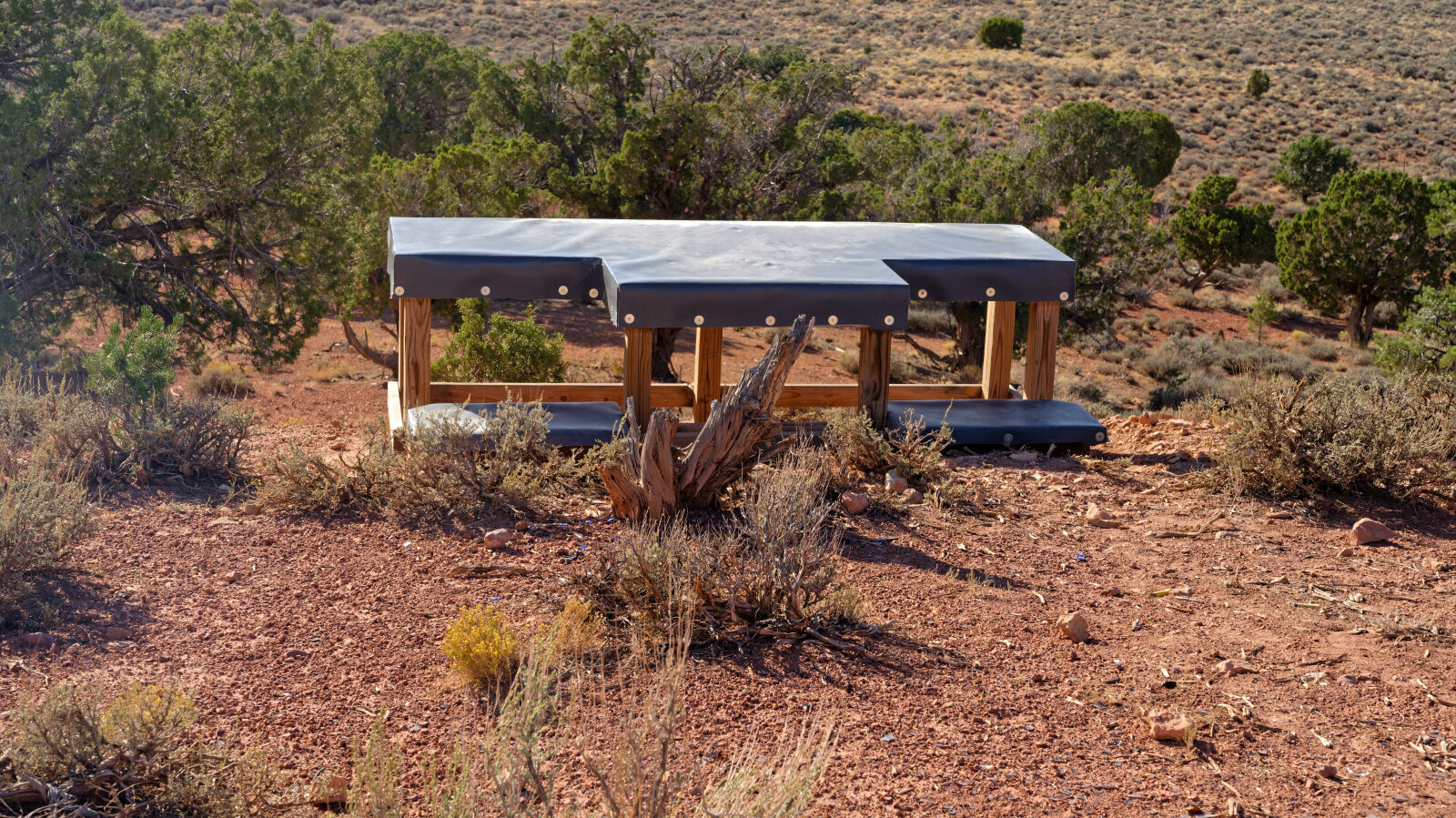
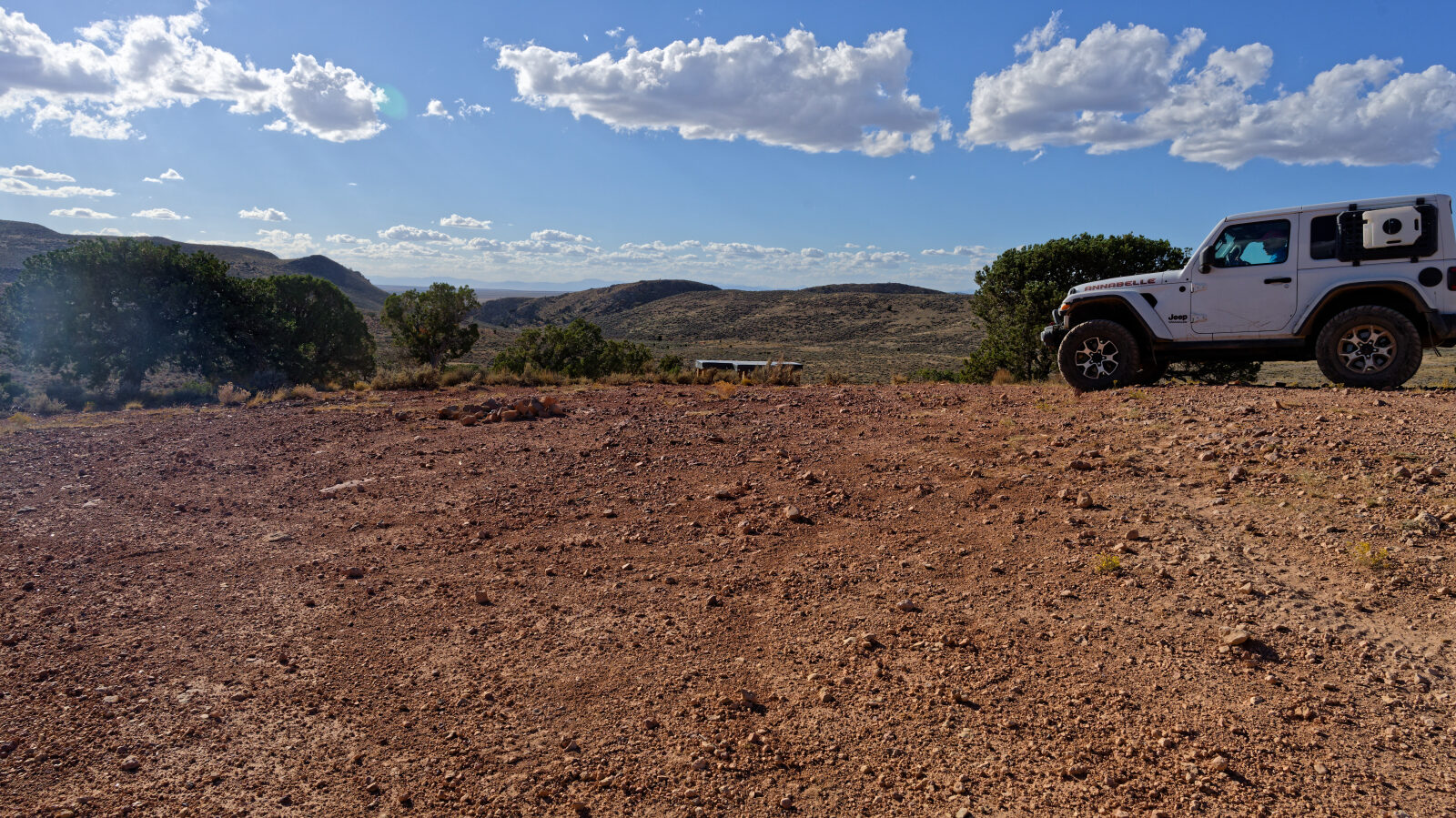
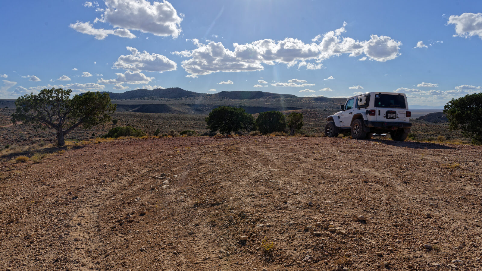
Waypoint 6 (37.89416, -112.97871)
Camping for 2 to 3 rigs, with room for a large trailer. Popular shooting area with no shade and no privacy.
Waypoint 7 (37.89808, -112.97674)
Another camping area next to the road, out in the open with no shade or trees.
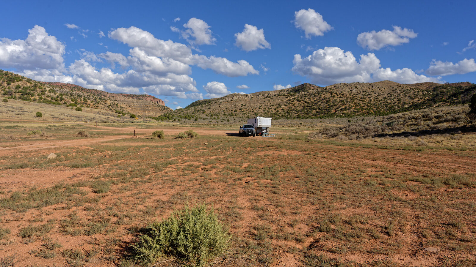
Waypoint 8 (37.90200, -112.97566)
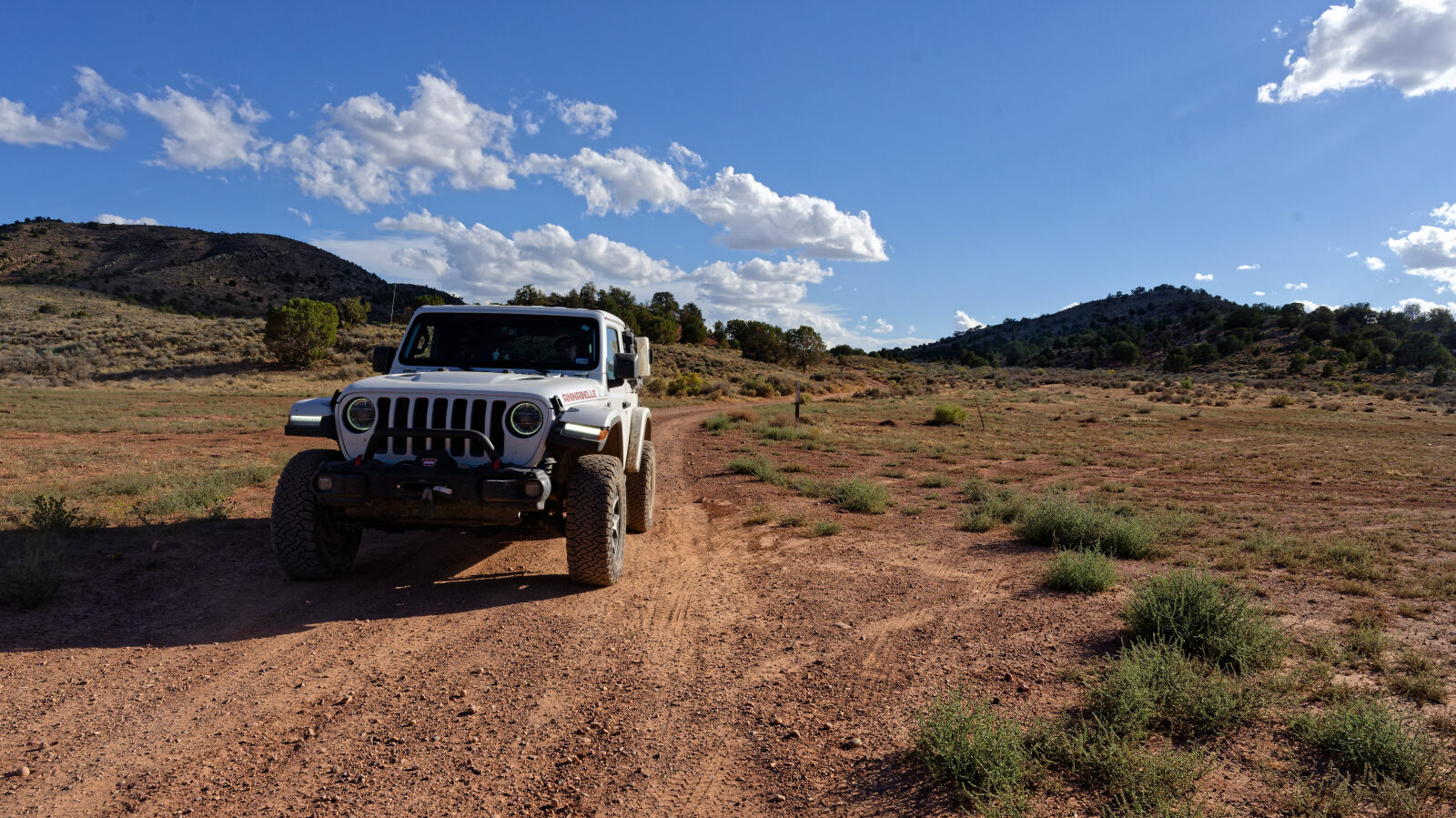
Waypoint 9 (37.90478, -112.97463)
End of the trail.