Second Left Hand Canyon - Level 4
Second Left Hand Canyon Road climbs out of the Parowan Canyon area into the high country of Iron County, Utah. It begins on pavement, turns to gravel, and follows the canyon up into forested terrain on the Markagunt Plateau side of the range.
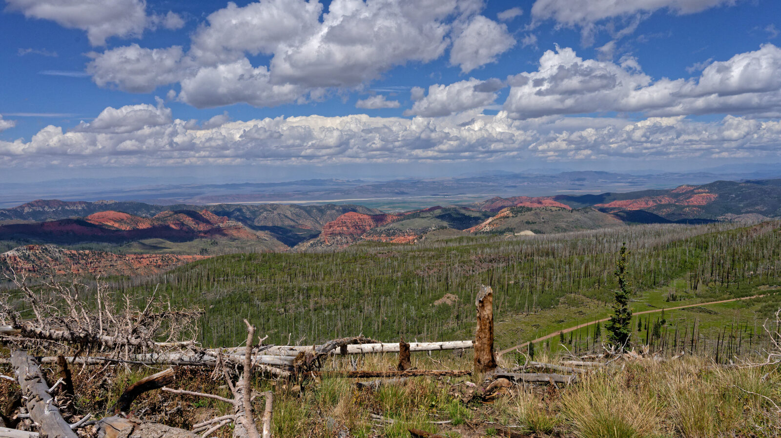
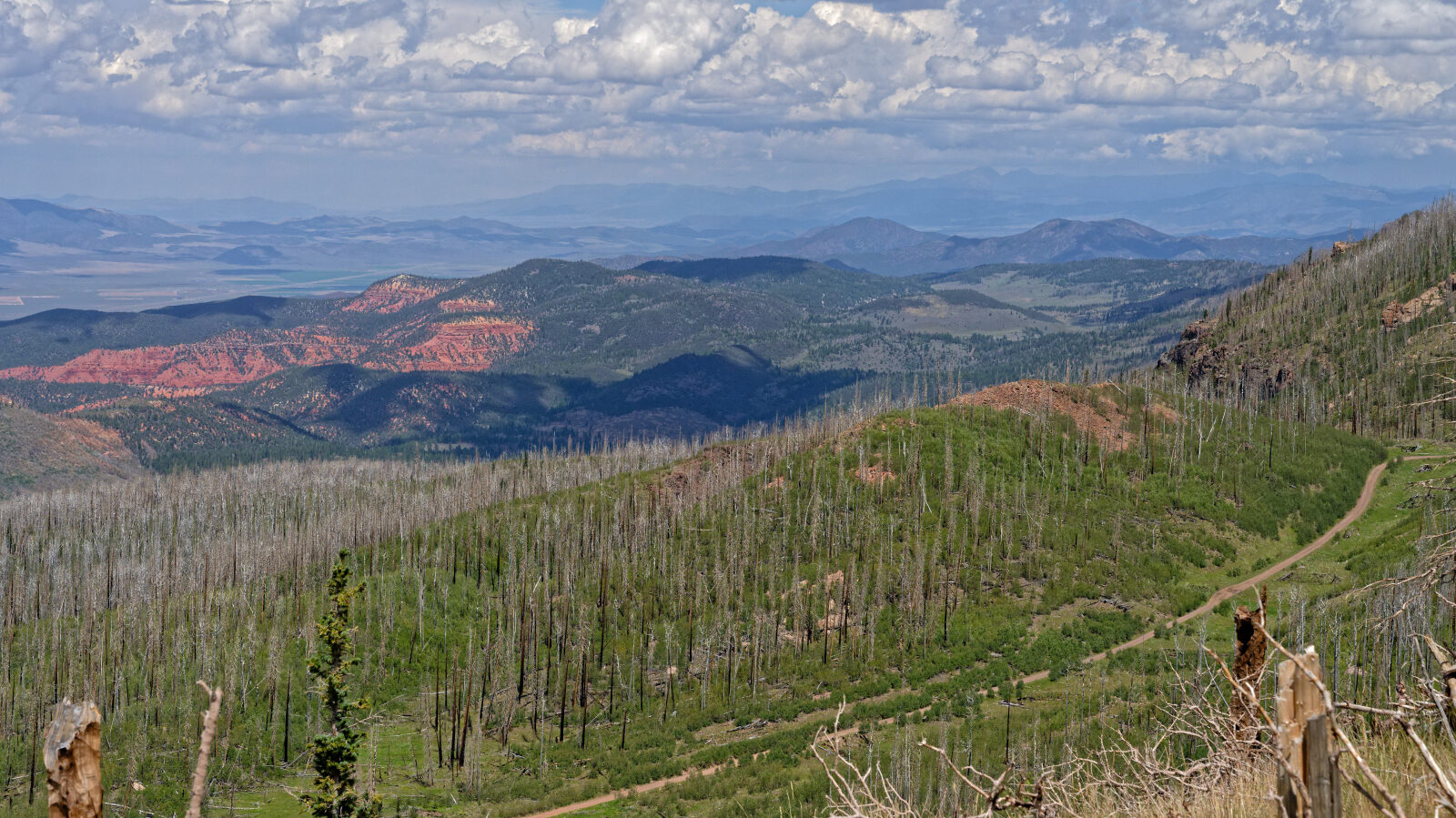
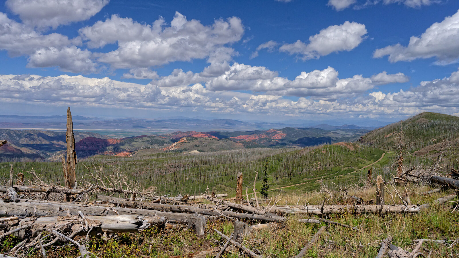
The route passes through country that was burned in 2017 and then continues along the canyon walls on narrow shelf sections before connecting to other roads at the upper end.
Trail Summary
- LocationParowan, Utah
- Distance14.5 miles
- DifficultyLevel 4
- Elevation6,682 ft to 10,457 ft with a 3,775 ft change
- Travel Time3 hours 13 minutes
Difficulty
Typically challenges the limits of a high clearance 4x4
This trail is rated Level 4, Moderate. That level typically challenges the limits of a high clearance 4x4. Low-range gearing is needed and undercarriage damage is possible. Expect rock or undulating surface, obstacles under 18 inches, and a road that can be steep, loose and slightly off-camber. The log calls out a deep washout about 200 feet before waypoint 7. A short vehicle should get through easily. A long vehicle should stop and look at it first, and should only attempt it with a spotter. Go slowly because of the possibility of tipping. There is also a short, narrow shelf road with a slight off-camber at waypoint 8.
Terrain
The route starts on pavement for roughly the first half mile, then becomes a gravel road with a creek crossing near the start. Higher up it runs through a burn scar and then along narrow shelf sections on the canyon sides, with washouts in the road surface. The elevation range takes it from lower canyon country up into high forest.
History
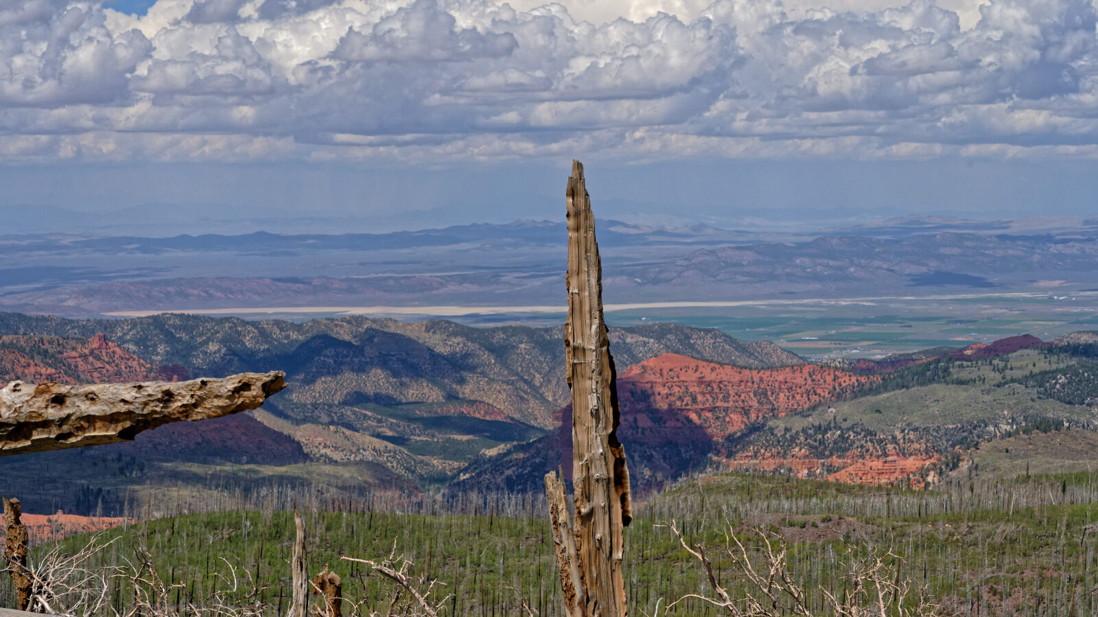
The burn scar on this route comes from the 2017 Brian Head Fire, which started around midday on June 17, 2017 near Brian Head. Second Left Hand Canyon was among the areas placed under evacuation orders during the fire, according to Deseret News coverage on July 1, 2017, when the fire was reported 65 percent contained at more than 60,300 acres.
Highlights
The upper end offers a choice. The road continues beyond waypoint 10, and the route here turns onto a different road that begins another shelf section that looks to be long.
Trail GPS File
Map
The interactive map needs JavaScript. Every waypoint is also listed below.
Waypoints
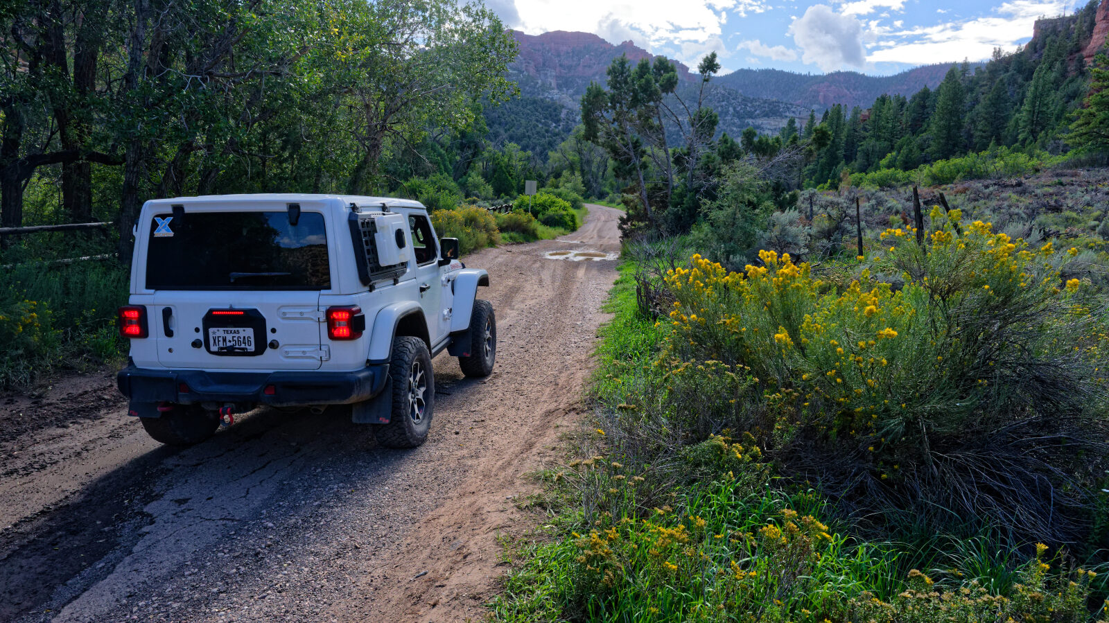
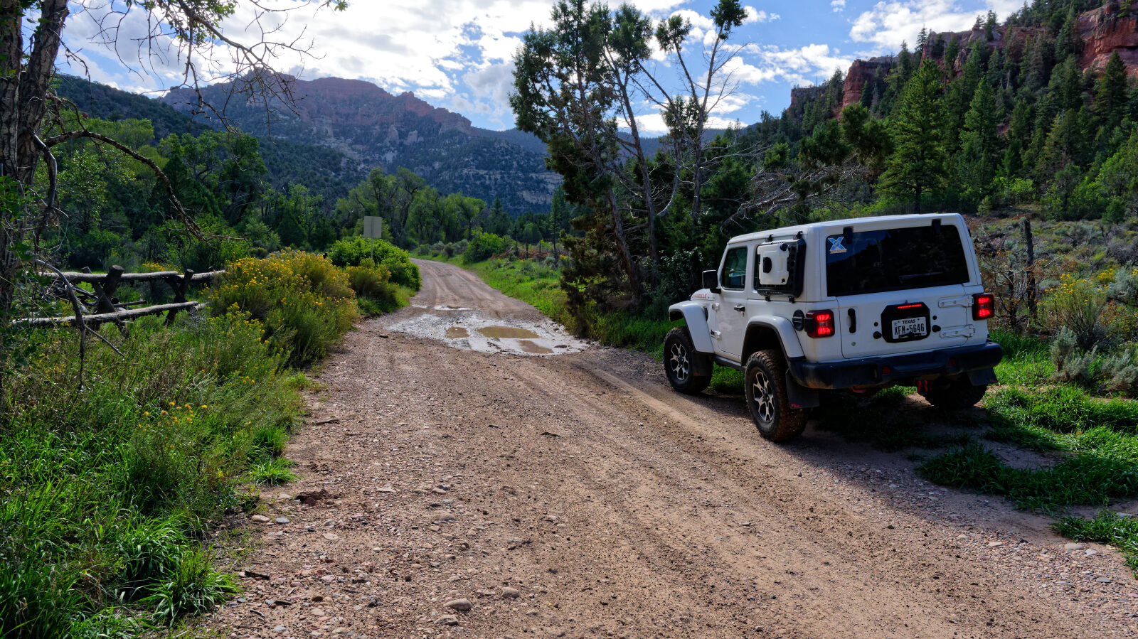
Waypoint 1 (37.79109, -112.81442)
This is 2nd Left Hand Canyon Road. The first half mile or so is paved, so keep going to reach the gravel.
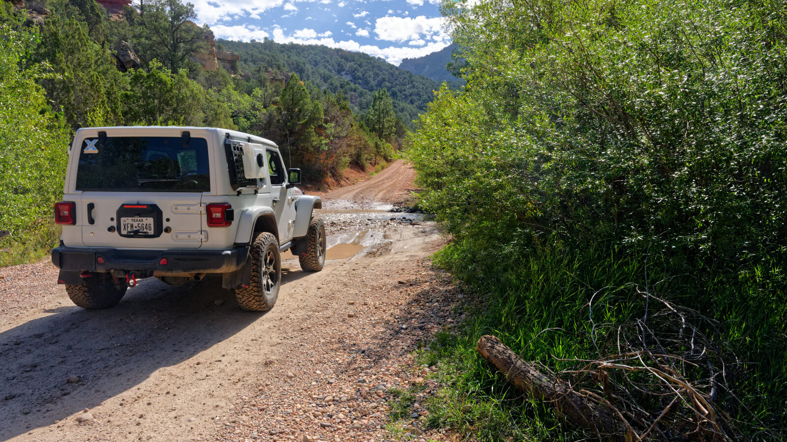
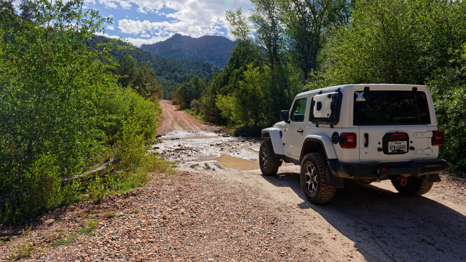
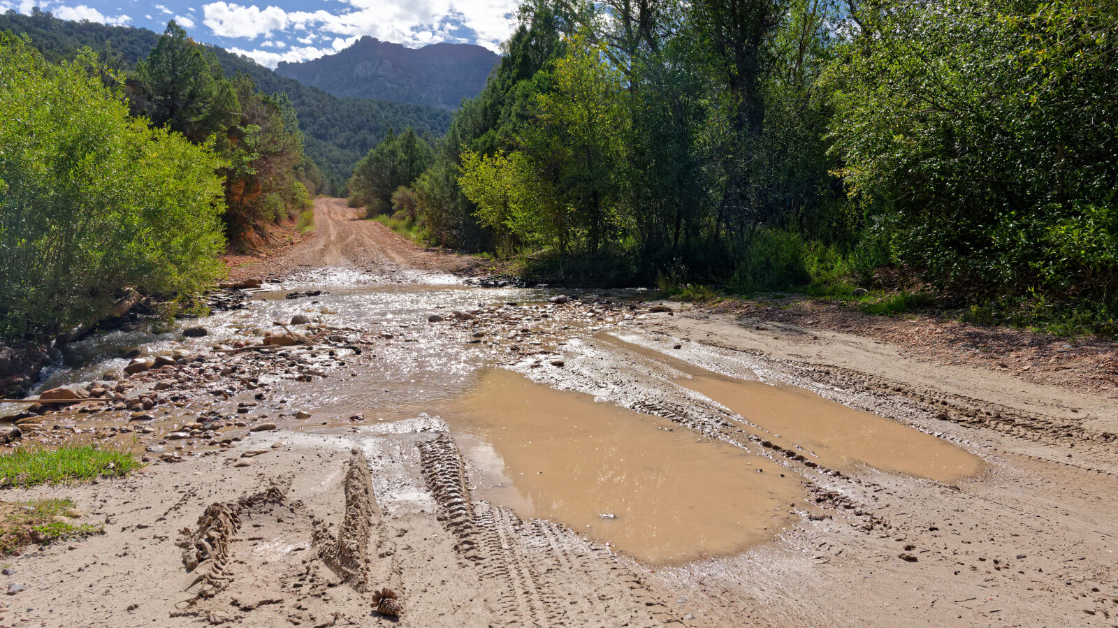
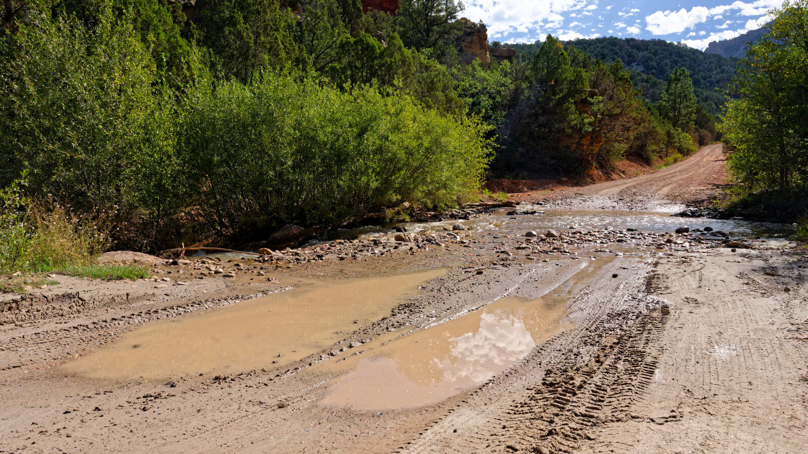
Waypoint 2 (37.79062, -112.81302)
There is a creek crossing here.
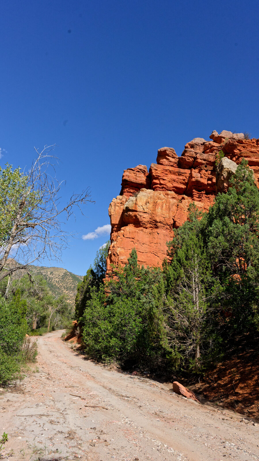
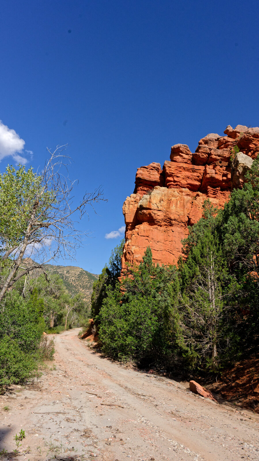
Waypoint 3 (37.78546, -112.80496)
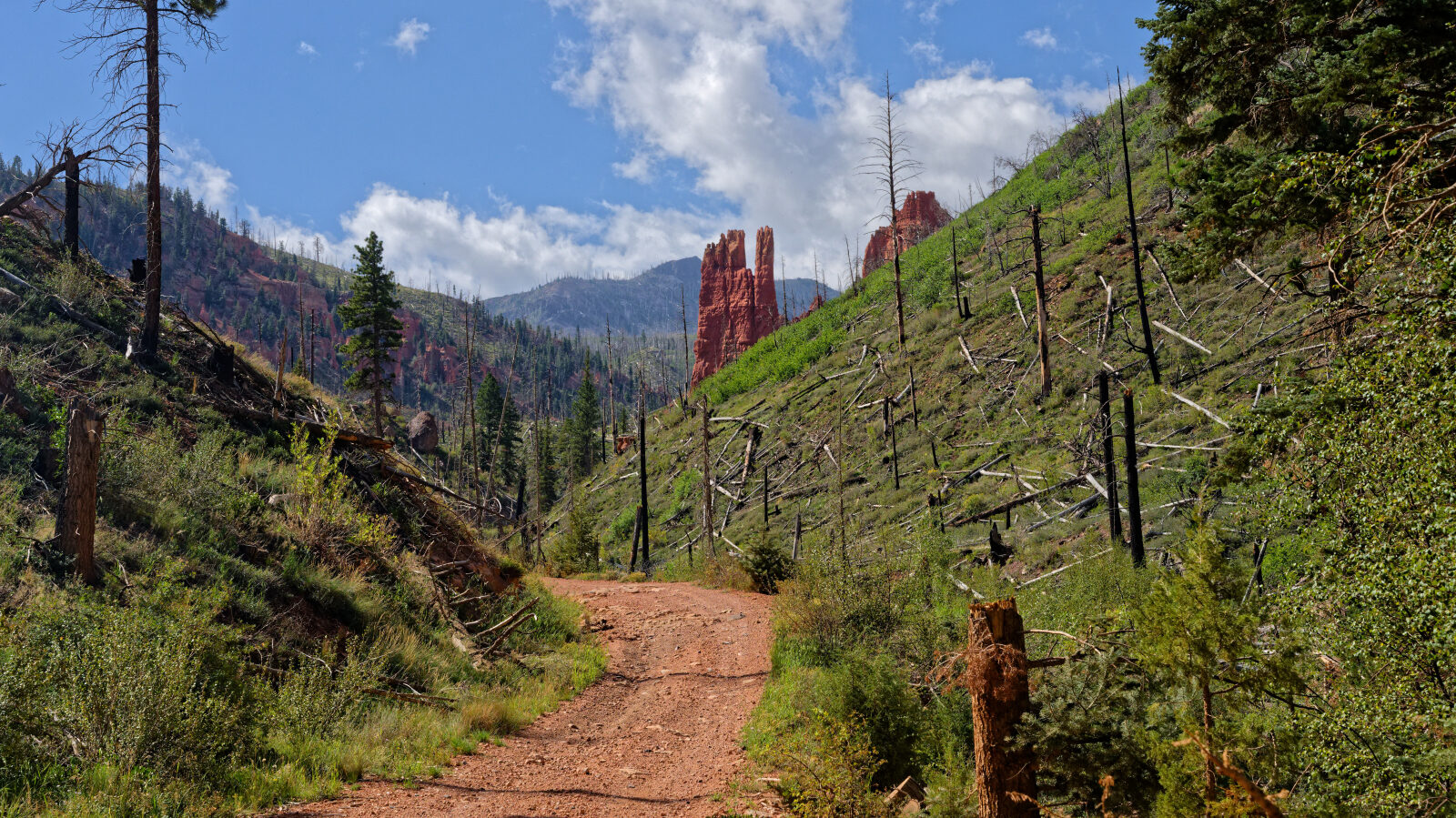
Waypoint 4 (37.75570, -112.79265)
The trail passes through a burn scar.
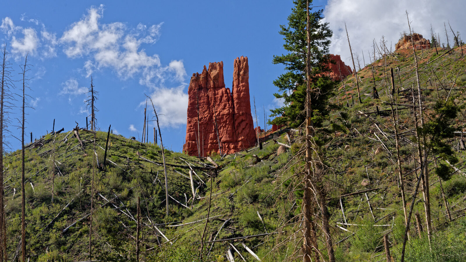
Waypoint 5 (37.75055, -112.79207)
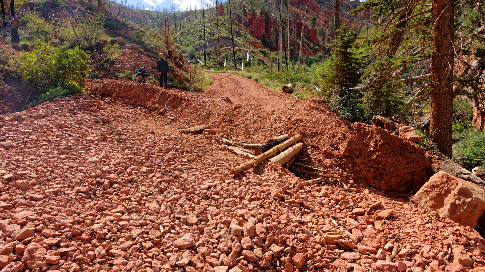
Waypoint 6 (37.74953, -112.79126)
Waypoint 7 (37.74890, -112.79057)
About 200 feet back there is a deep washout. A short vehicle should get through easily, but a long vehicle should look at it first. Go slowly because of the possibility of tipping.
Waypoint 8 (37.73729, -112.79478)
A short, narrow shelf road with a slight off-camber.
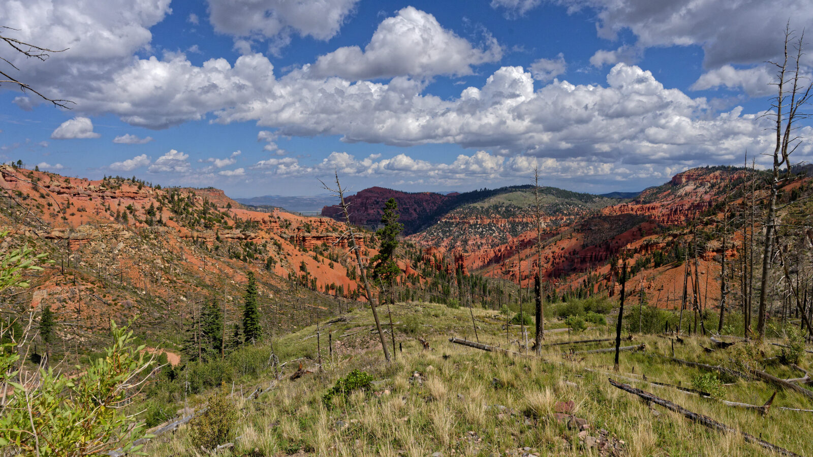
Waypoint 9 (37.73666, -112.79414)
Waypoint 10 (37.73403, -112.78550)
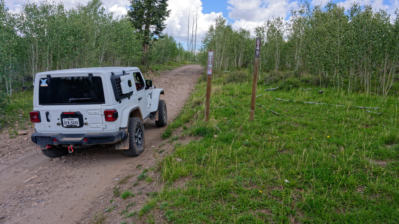
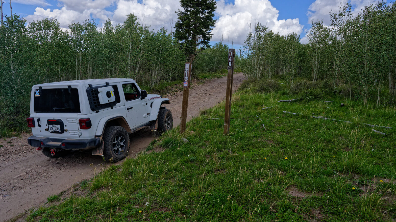
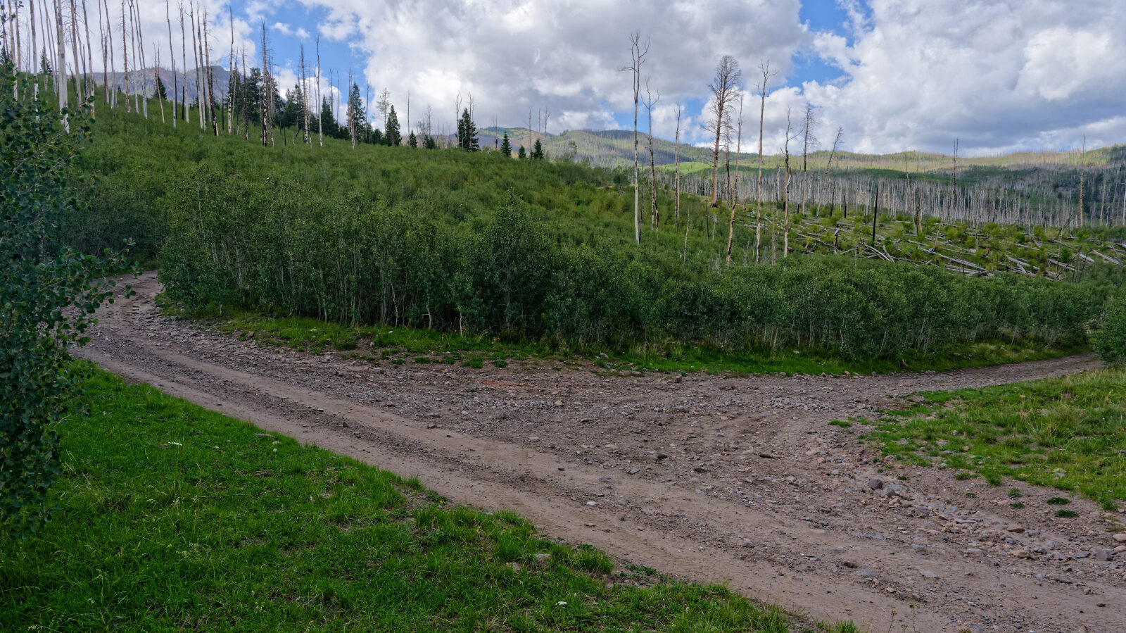
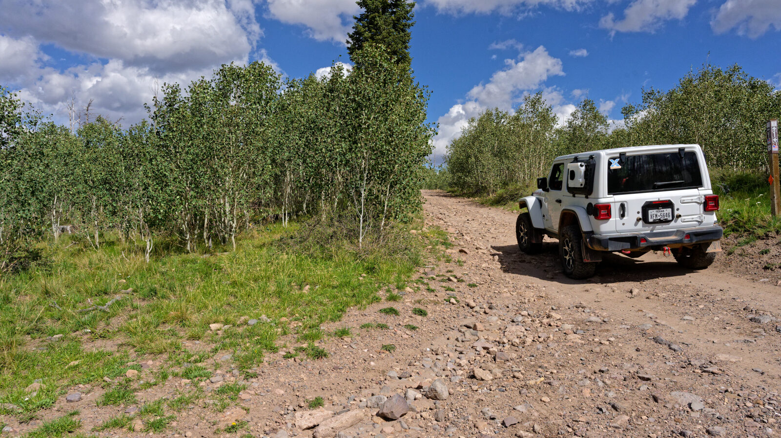
This is the end of the route on 2nd Left Hand Canyon Road. The road continues, but the route goes a different direction.
Waypoint 11 (37.72535, -112.76350)
The start of another shelf road that looks to be fairly long.