Silver Lake Flat - Level 2
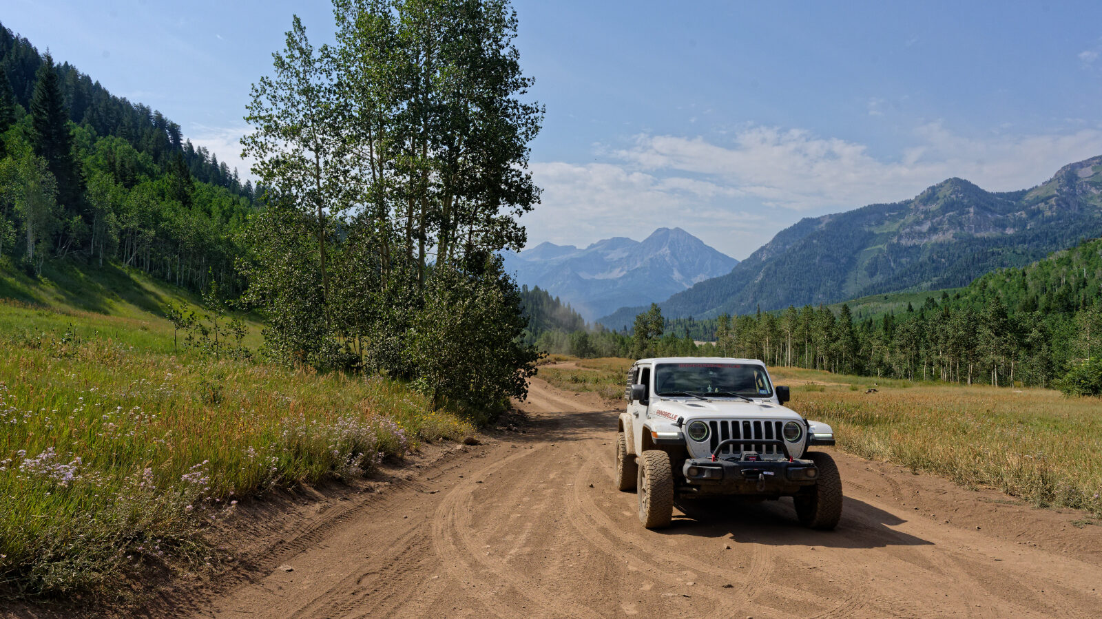
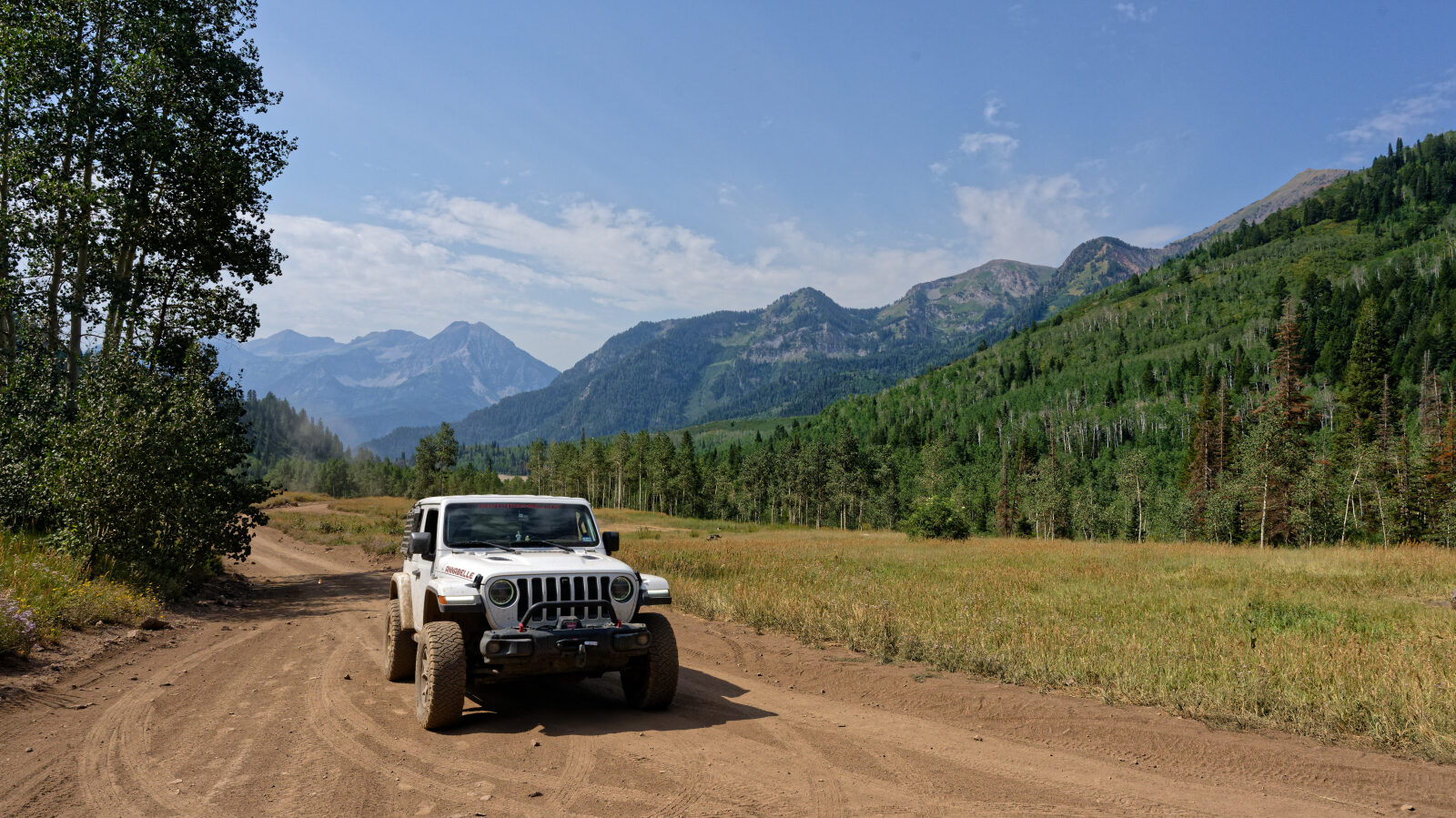
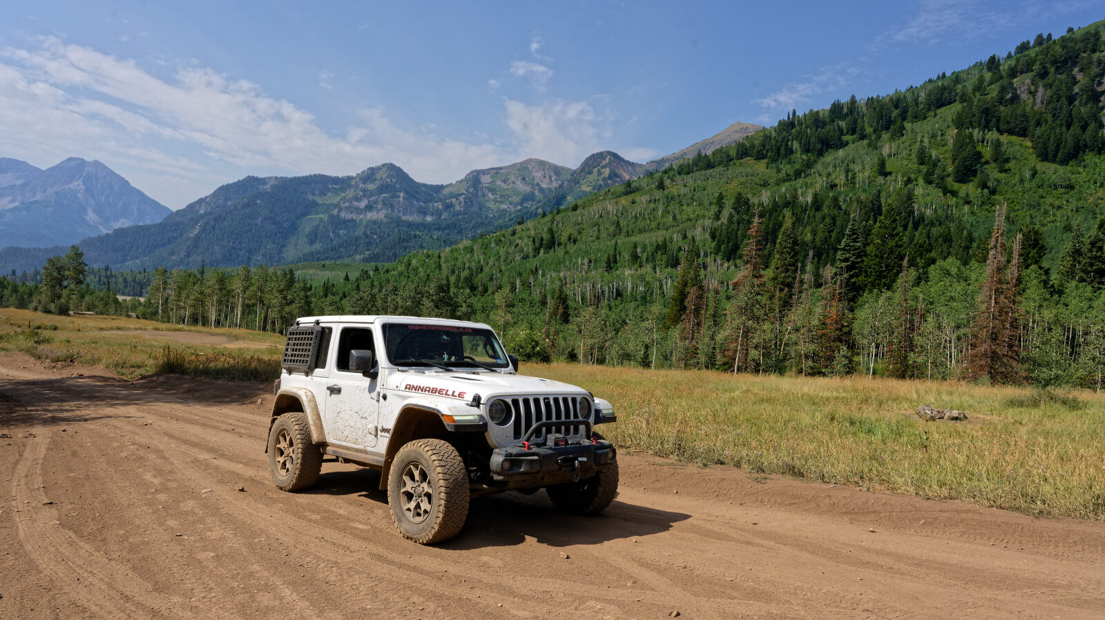
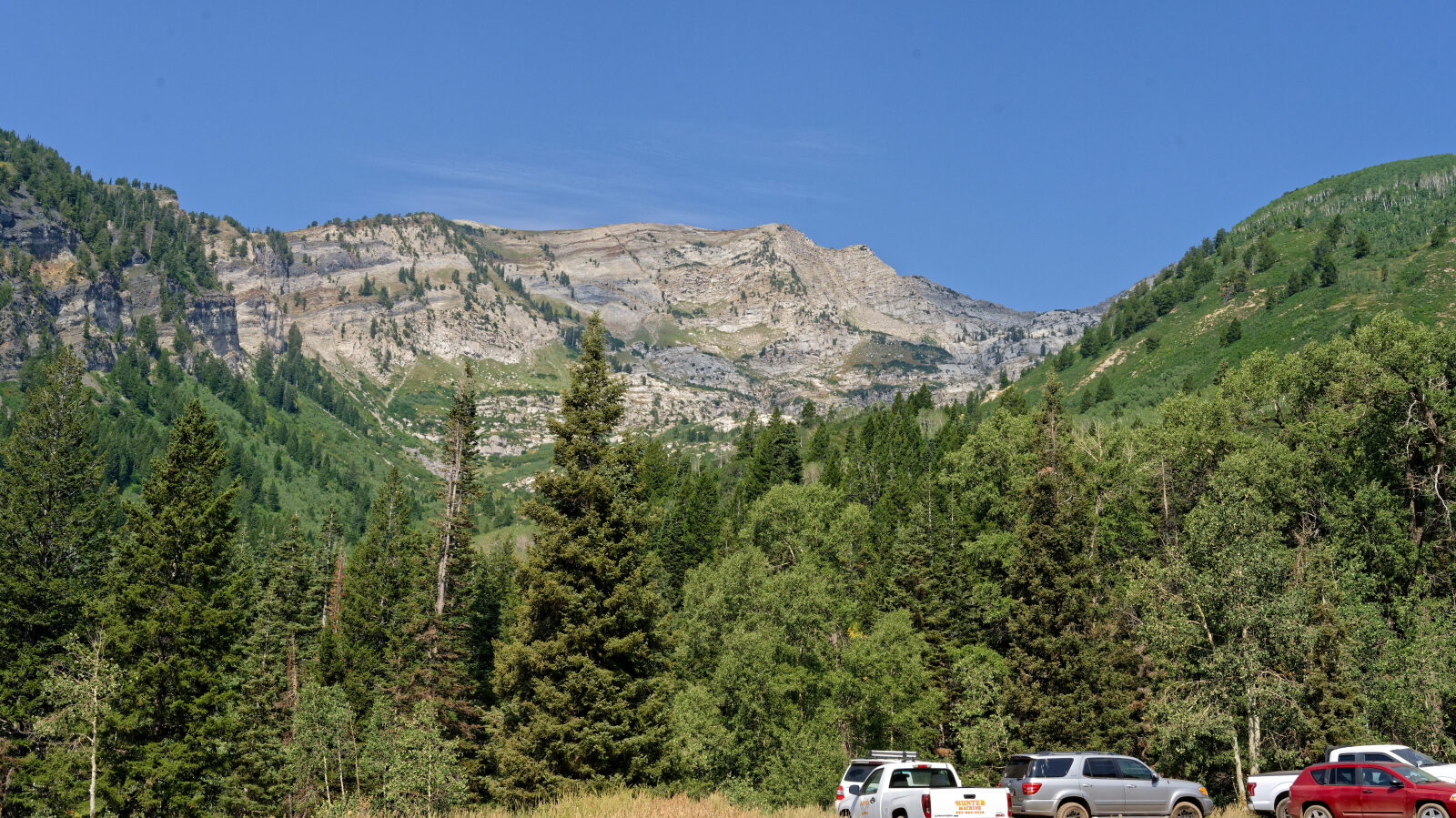
Silver Lake Flat is a short backcountry route in the Wasatch Range above American Fork Canyon in Utah County. It climbs from the canyon area toward the high flats near the Silver Lake Flat Reservoir, with views across the Wasatch peaks.
The route is used for casual driving, dispersed day use and access to nearby trailheads. Expect other traffic from hikers, cyclists and anglers, especially on summer weekends.
Trail Summary
- LocationUtah County, Utah
- Distance3.9 miles
- DifficultyLevel 2
- Elevation6,671 ft to 7,745 ft with a 1,074 ft change
- Travel Time45 minutes
Difficulty
Typically suitable for high clearance 2WD
This trail is rated Level 2, which is Easy. A high clearance 2WD vehicle with stock equipment is typically enough, though ground clearance and tire traction may be tested. Expect dirt or rocky road with obstacles under 9 inches, such as rocks, dips or ruts. Some sections can be steep but with good traction. The road is typically unmaintained after rain or snow. Shallow water crossings and small ledges under 12 inches are possible. The road is generally one to two vehicles wide. The driver's log has no special obstacles noted.
Trail GPS File
Map
The interactive map needs JavaScript. Every waypoint is also listed below.
Waypoints
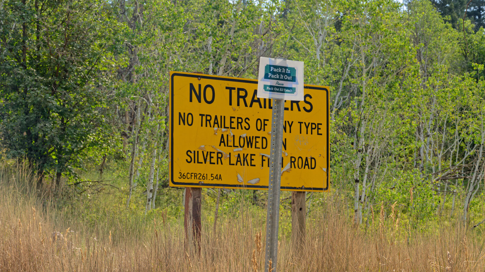
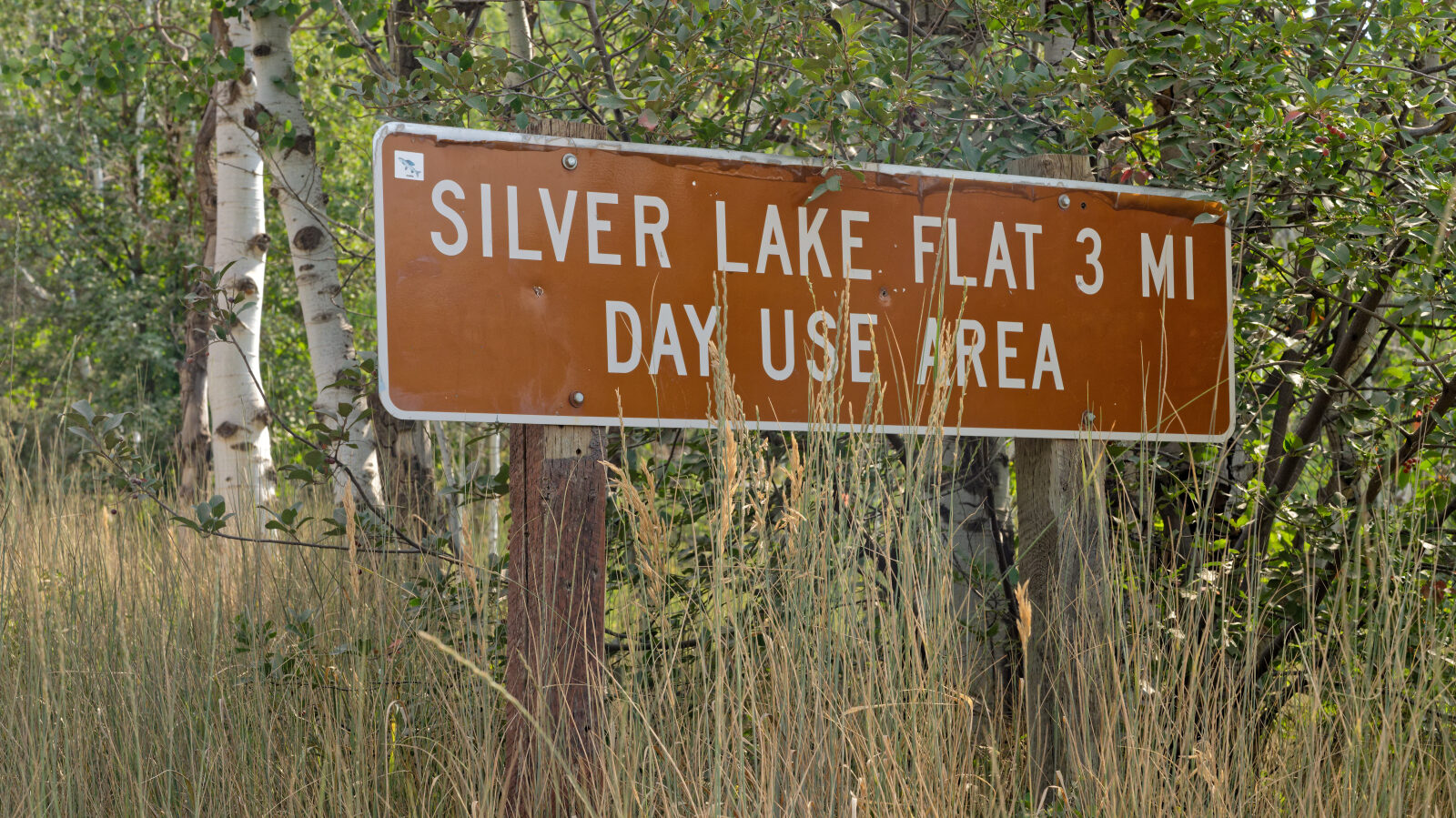
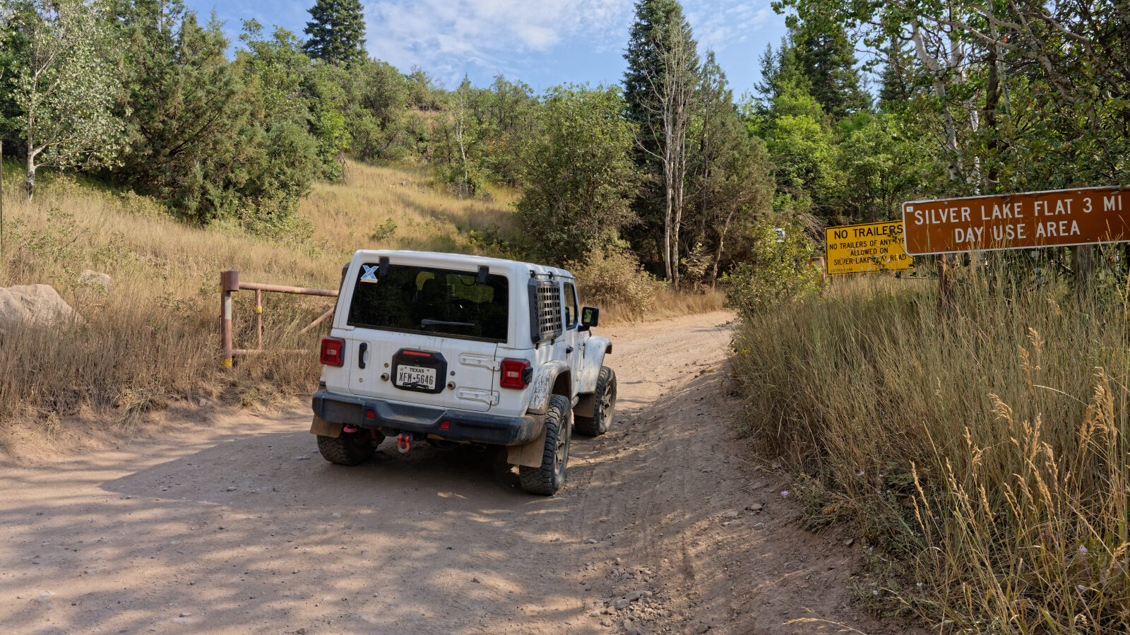
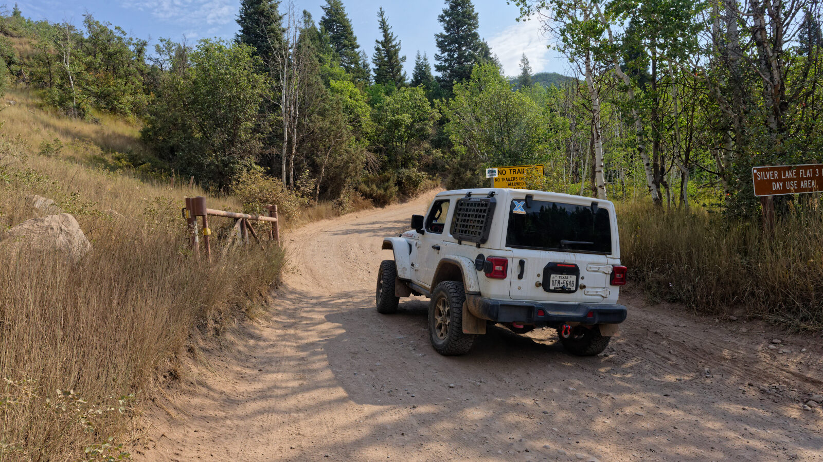
Waypoint 1 (40.48984, -111.65283)
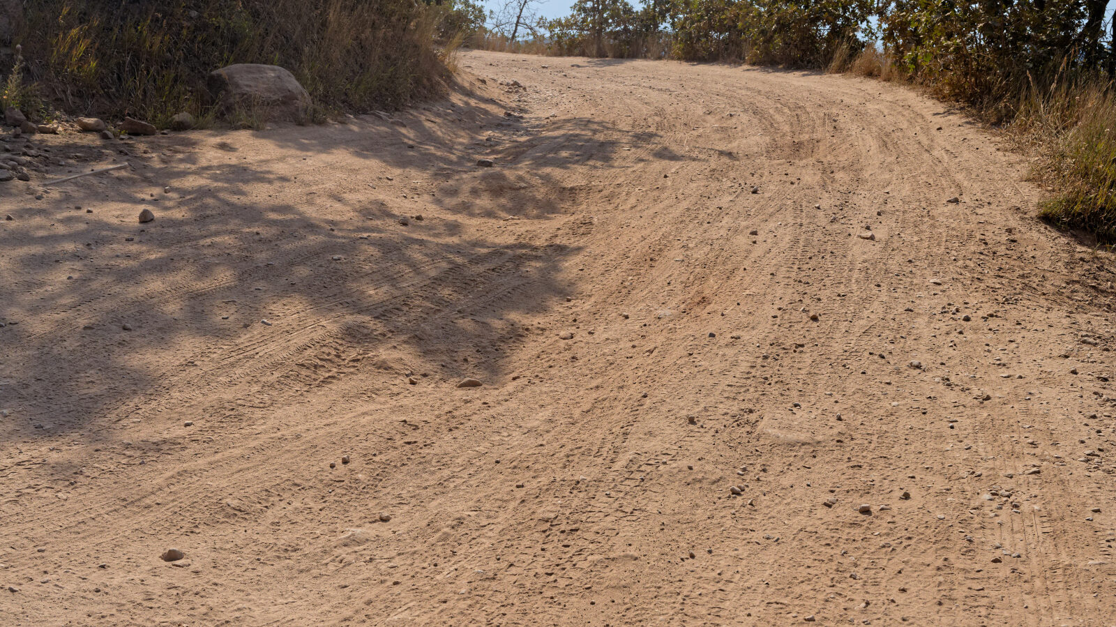
Waypoint 2 (40.49305, -111.65342)
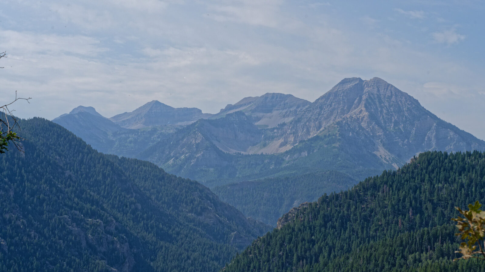
Waypoint 3 (40.49391, -111.65075)
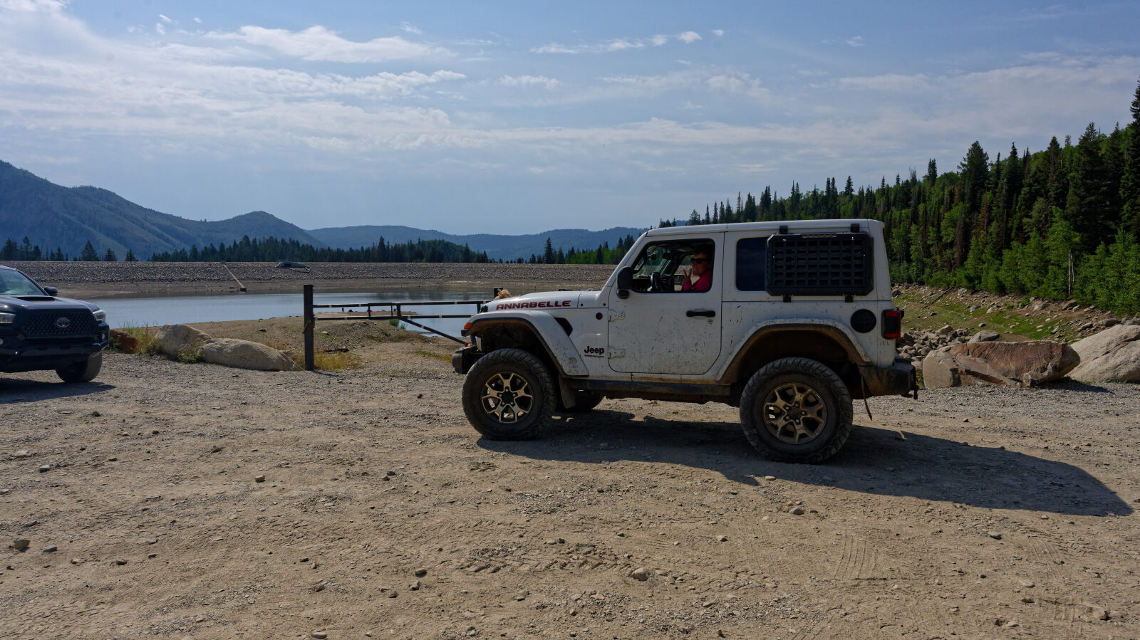
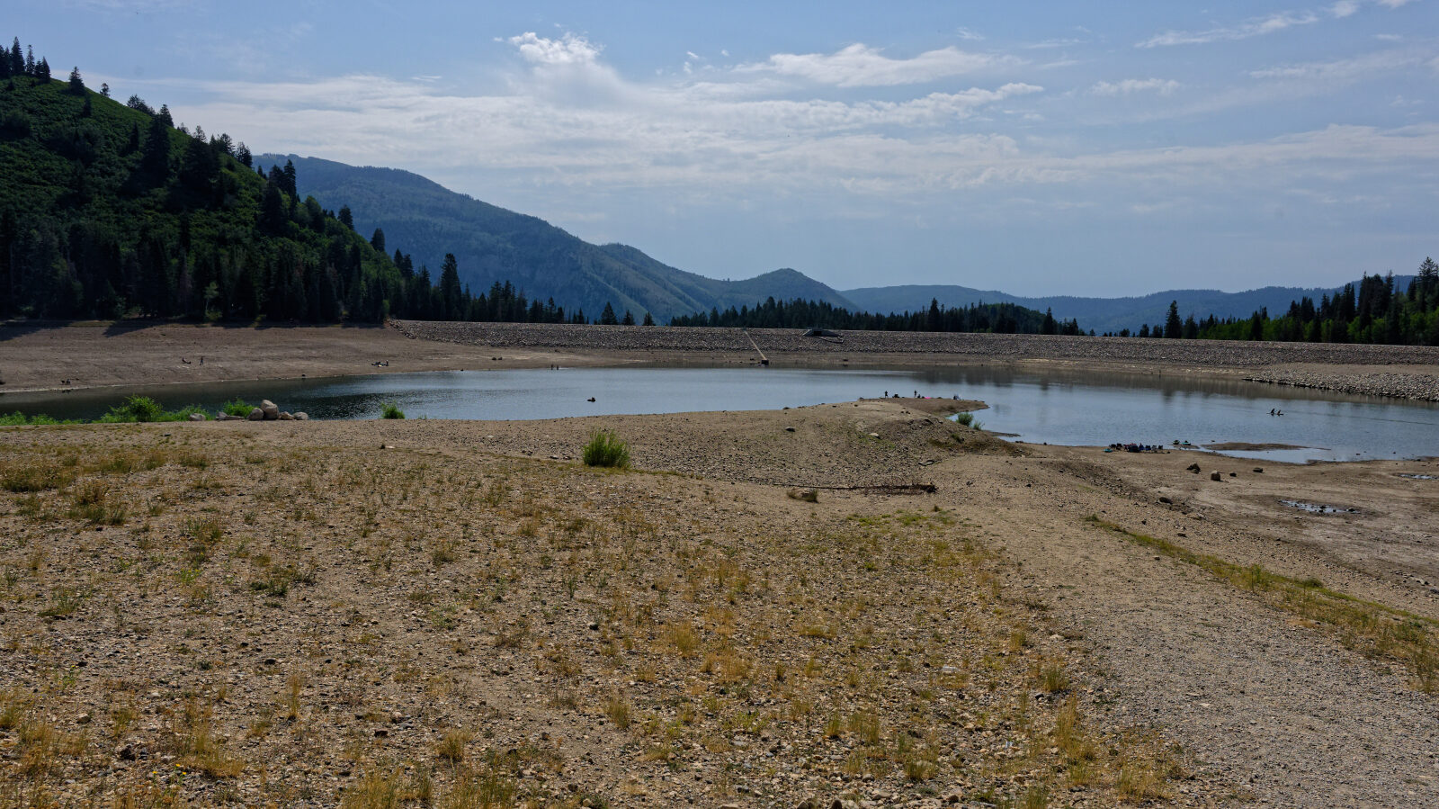
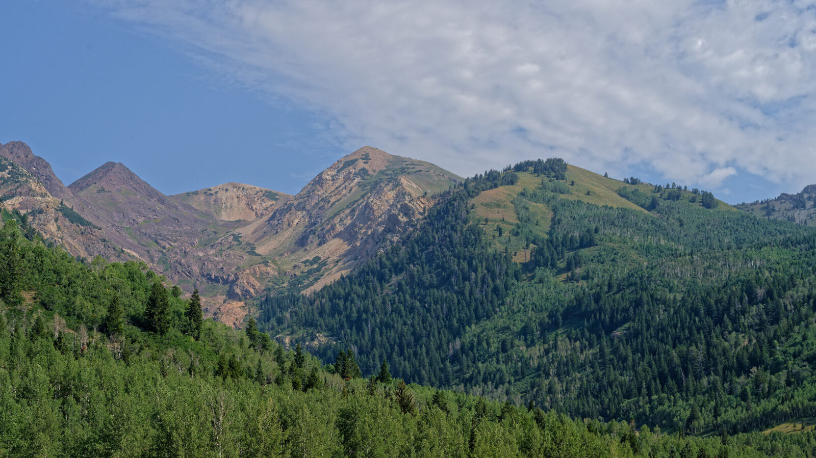
Waypoint 4 (40.50330, -111.65911)
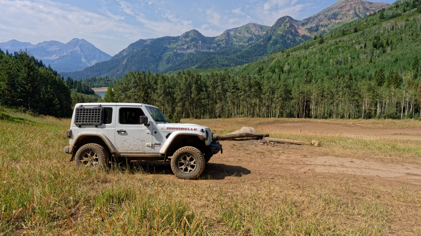
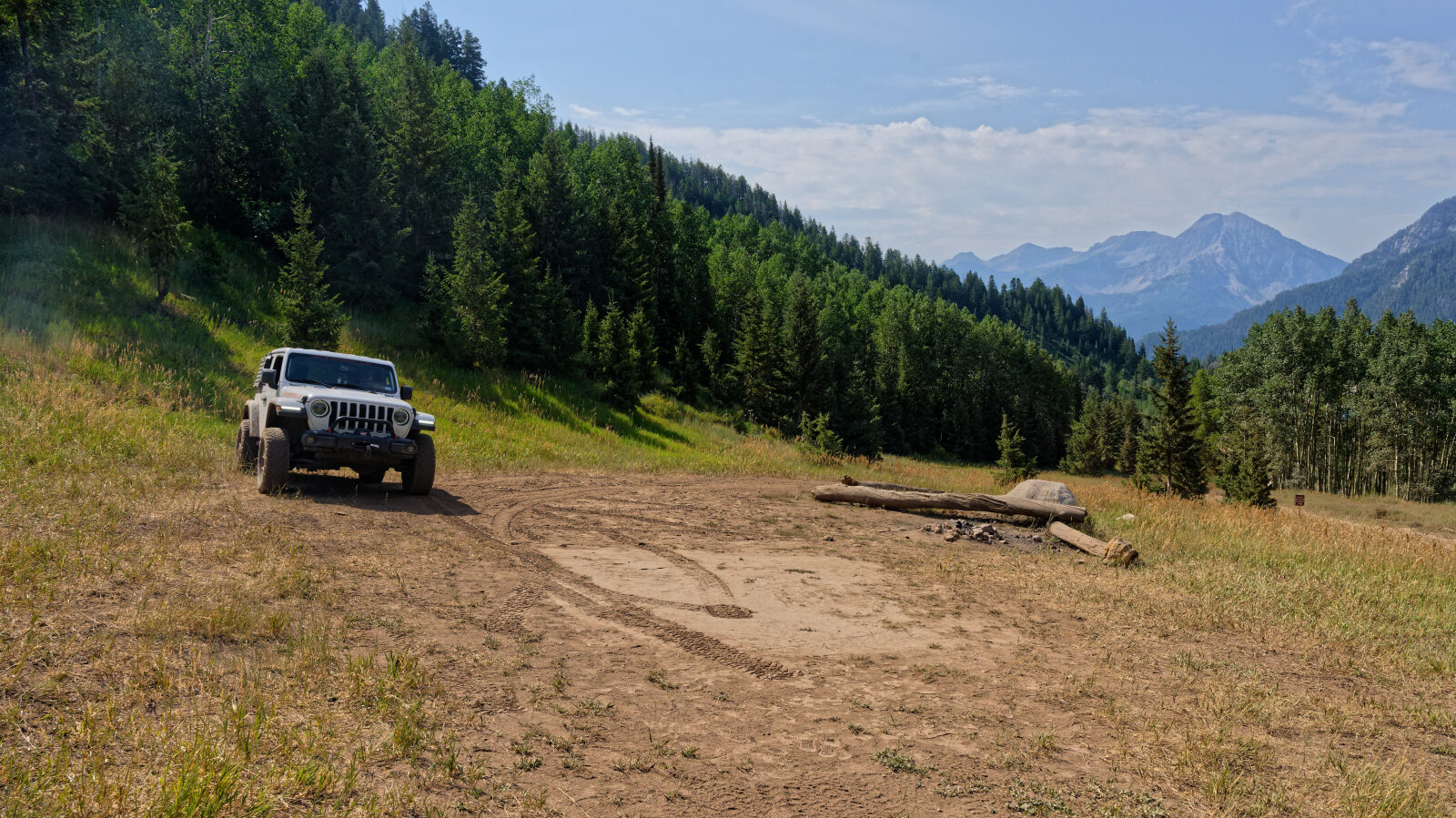
Waypoint 5 (40.51201, -111.65446)
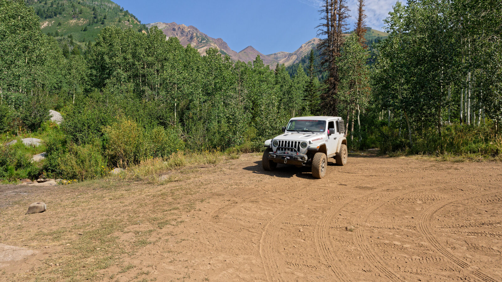
Waypoint 6 (40.51189, -111.65604)