Soapstone Creek - Level 2
Soapstone Creek is a backcountry route in the Uinta Mountains of northern Utah. It heads east and then south from the Soapstone Basin area near the Mirror Lake Highway, in the Heber-Kamas Ranger District of the Uinta-Wasatch-Cache National Forest.
The route follows the drainage it is named for through open meadows and stands of timber. It is a quiet way to get off the busy highway and into the forest, and it links with the wider network of forest roads in Soapstone Basin.
Trail Summary
- LocationWasatch County, Utah
- Distance7.9 miles
- DifficultyLevel 2
- Elevation7,702 ft to 9,025 ft with a 1,323 ft change
- Travel Time3 hours 25 minutes
Difficulty
Typically suitable for high clearance 2WD
This trail is rated Easy (level 2). That means a high clearance 2WD vehicle with stock equipment is generally enough, though the surface will test your tires and ground clearance. Expect dirt and rocky road with ruts, dips, small ledges and rocks under about 9 inches. Shallow water crossings are possible. The road is typically unmaintained after rain or snow and is one to two vehicles wide. The driver's log did not call out any obstacle that needs special attention, so treat it as a straightforward drive in dry conditions, and slow down where the surface gets rough.
Terrain
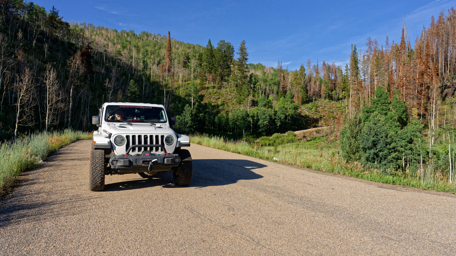
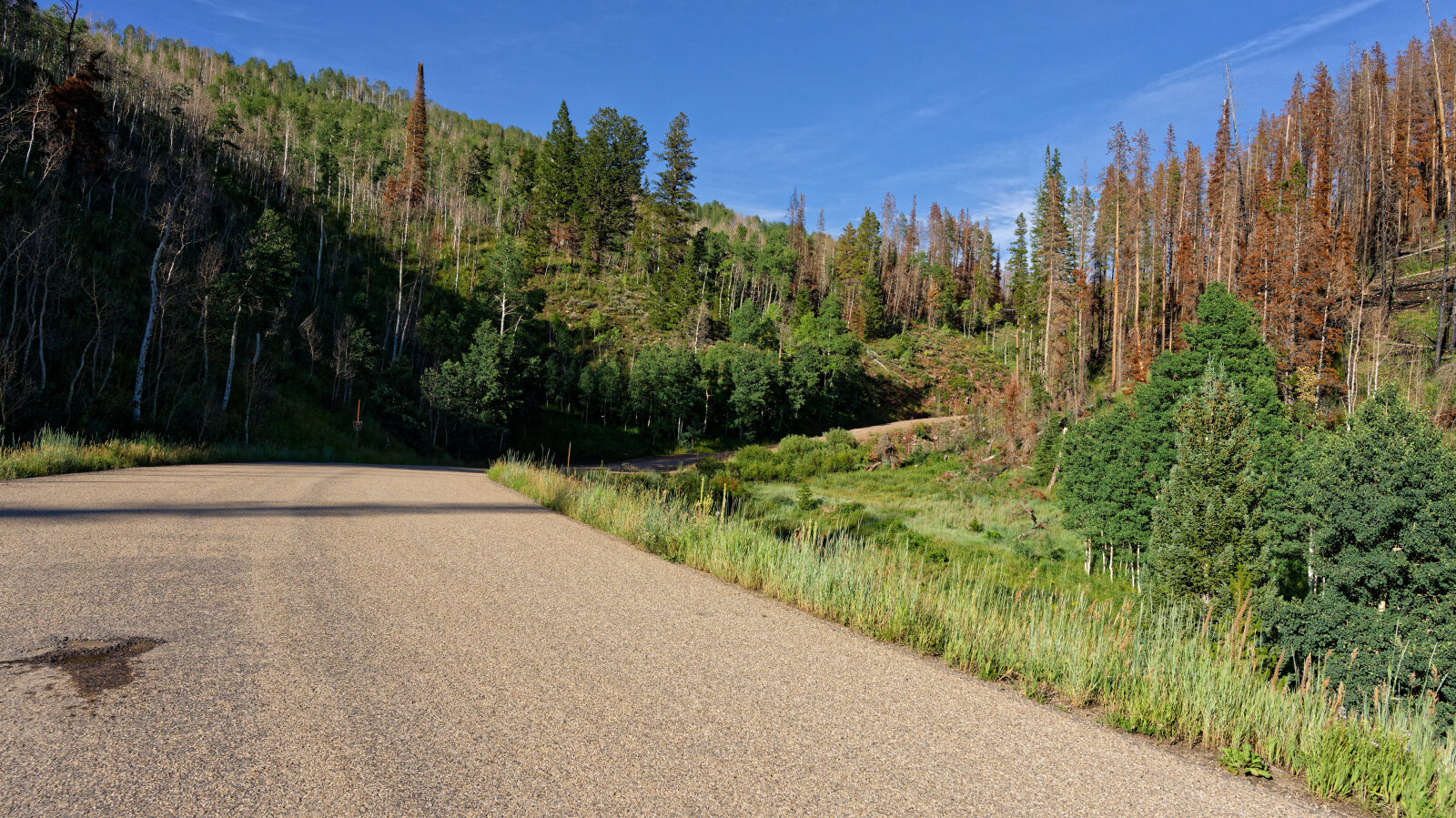
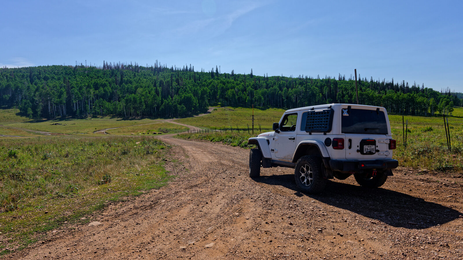
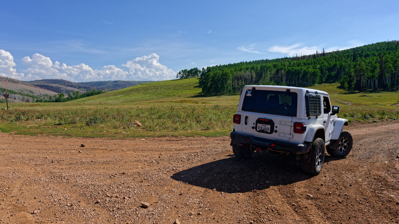
The route runs along a creek that is usually dry, through open meadows and patches of dense forest. The surface is native dirt road with rocky stretches, and it can rut or turn soft after rain. Aspen, fir and pine cover much of the area, and the road stays in the subalpine zone of the western Uintas for its whole length.
Highlights
The Soapstone Basin area has plenty of dispersed camping on dirt spurs south of Soapstone Campground, and the Lower Provo River nearby is known for trout fishing. The meadows are a good place to watch for birds and wildlife in summer. The season is short. Higher forest roads in the Uintas are generally best from early summer into autumn, and snow can linger late. A forest road conditions page is posted by the ranger district, so check it before you go.
Trail GPS File
Map
The interactive map needs JavaScript. Every waypoint is also listed below.
Waypoints
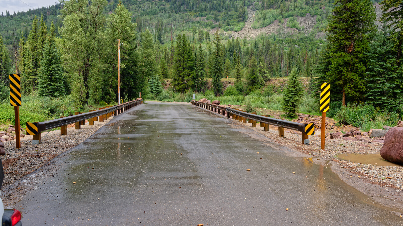
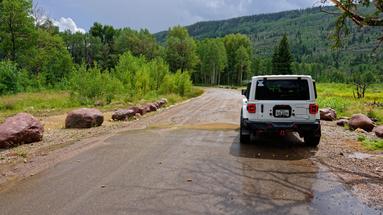
Waypoint 1 (40.57928, -111.04785)
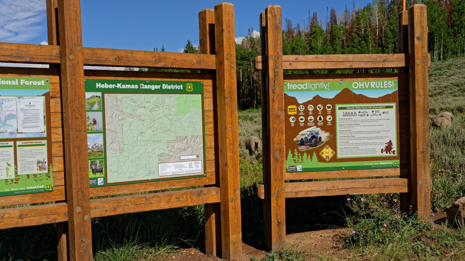
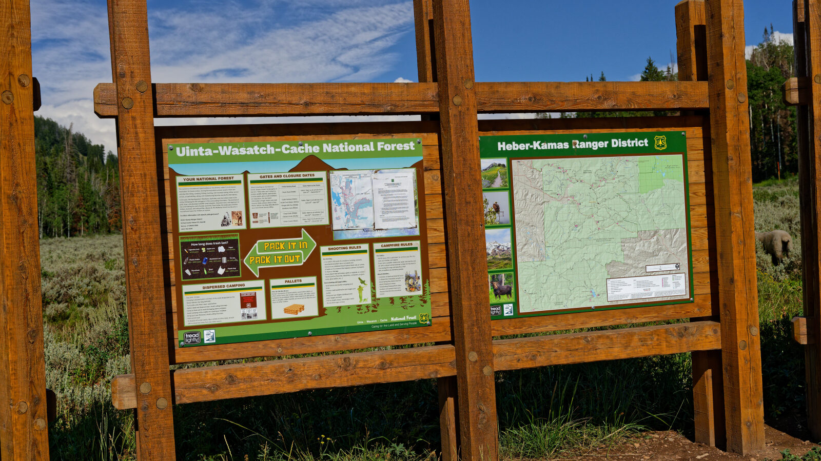
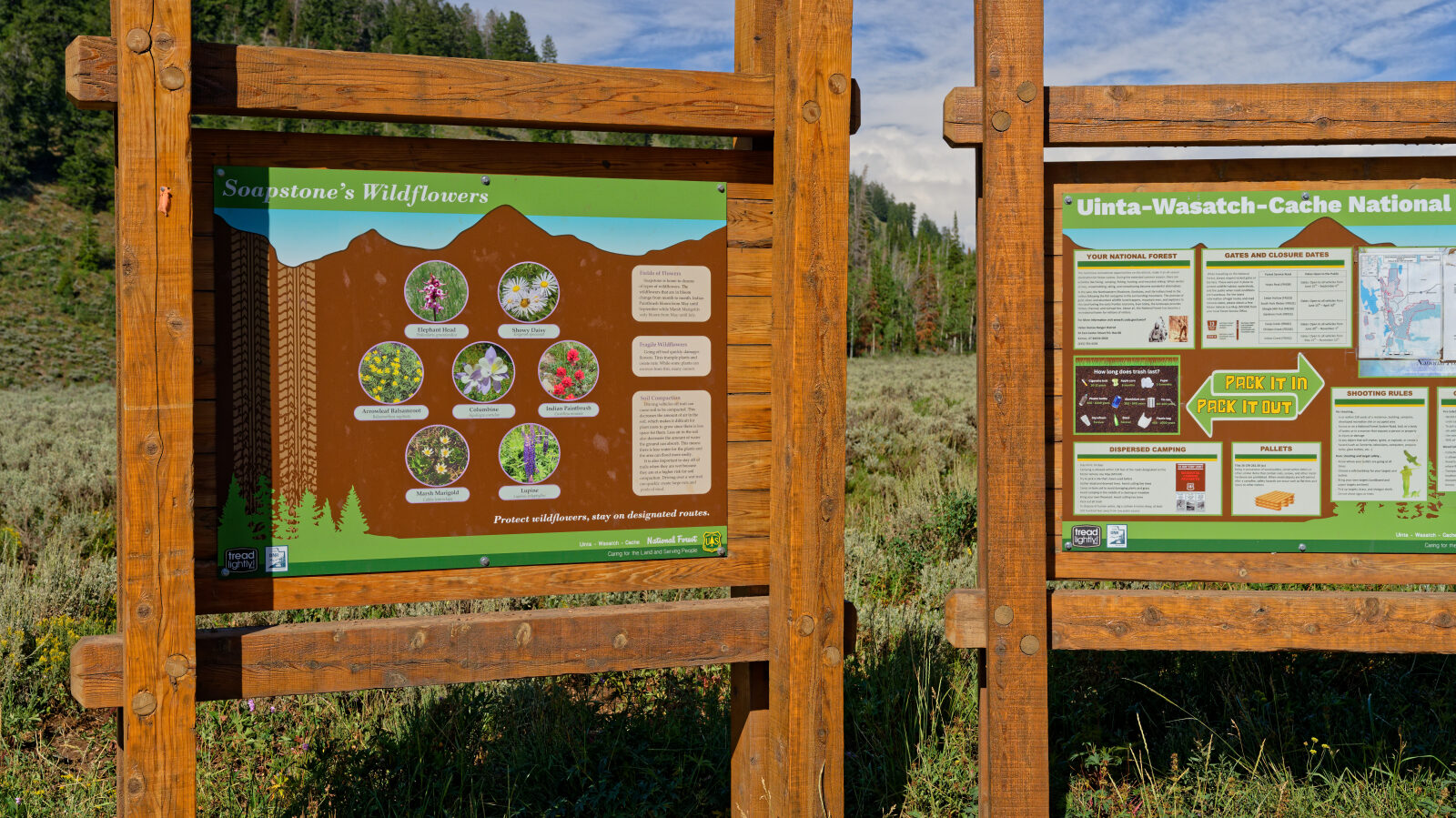
Waypoint 2 (40.54148, -111.02878)
Waypoint 3 (40.53182, -111.03192)