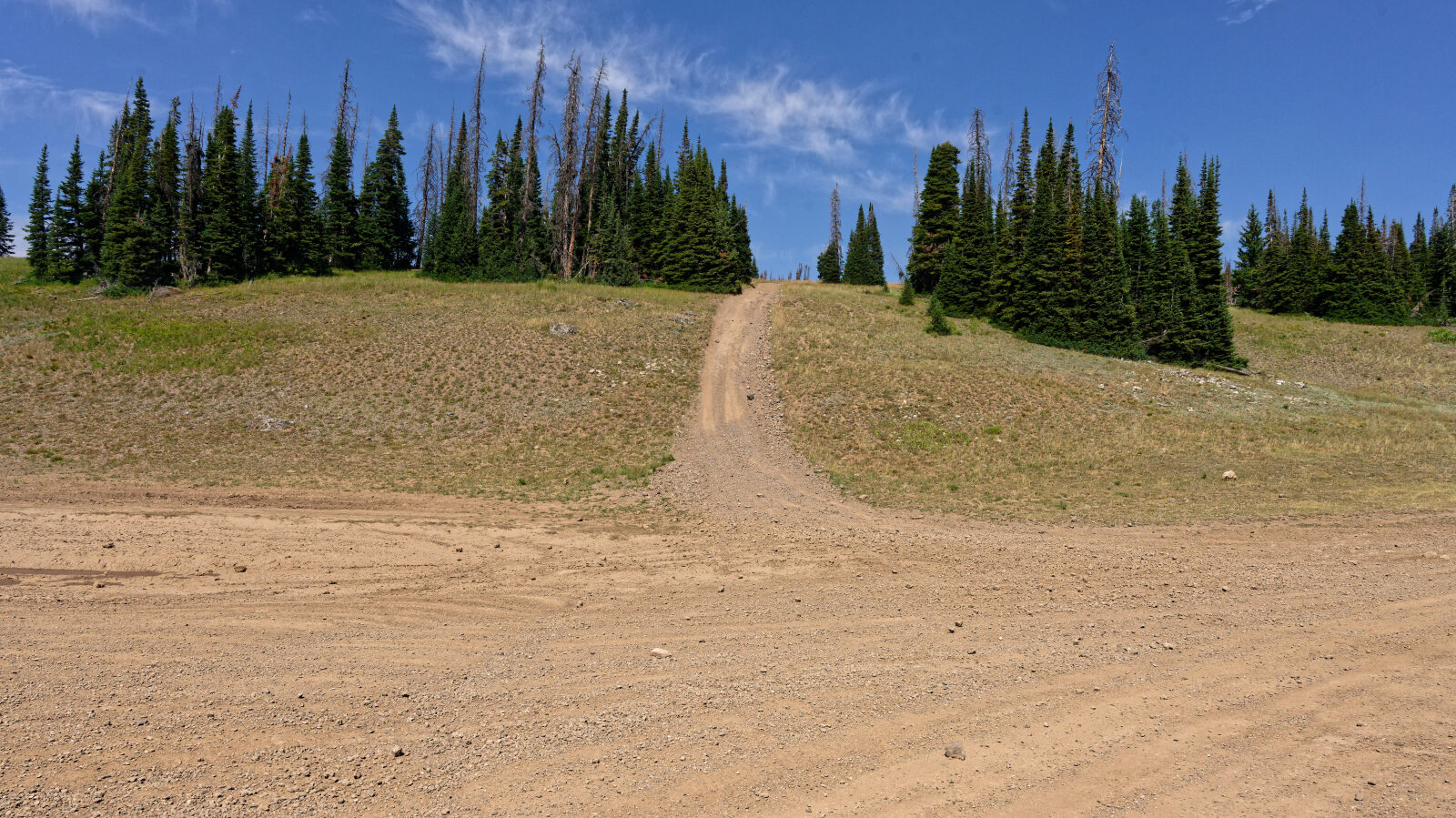
Soapstone Creek Level - Level 2
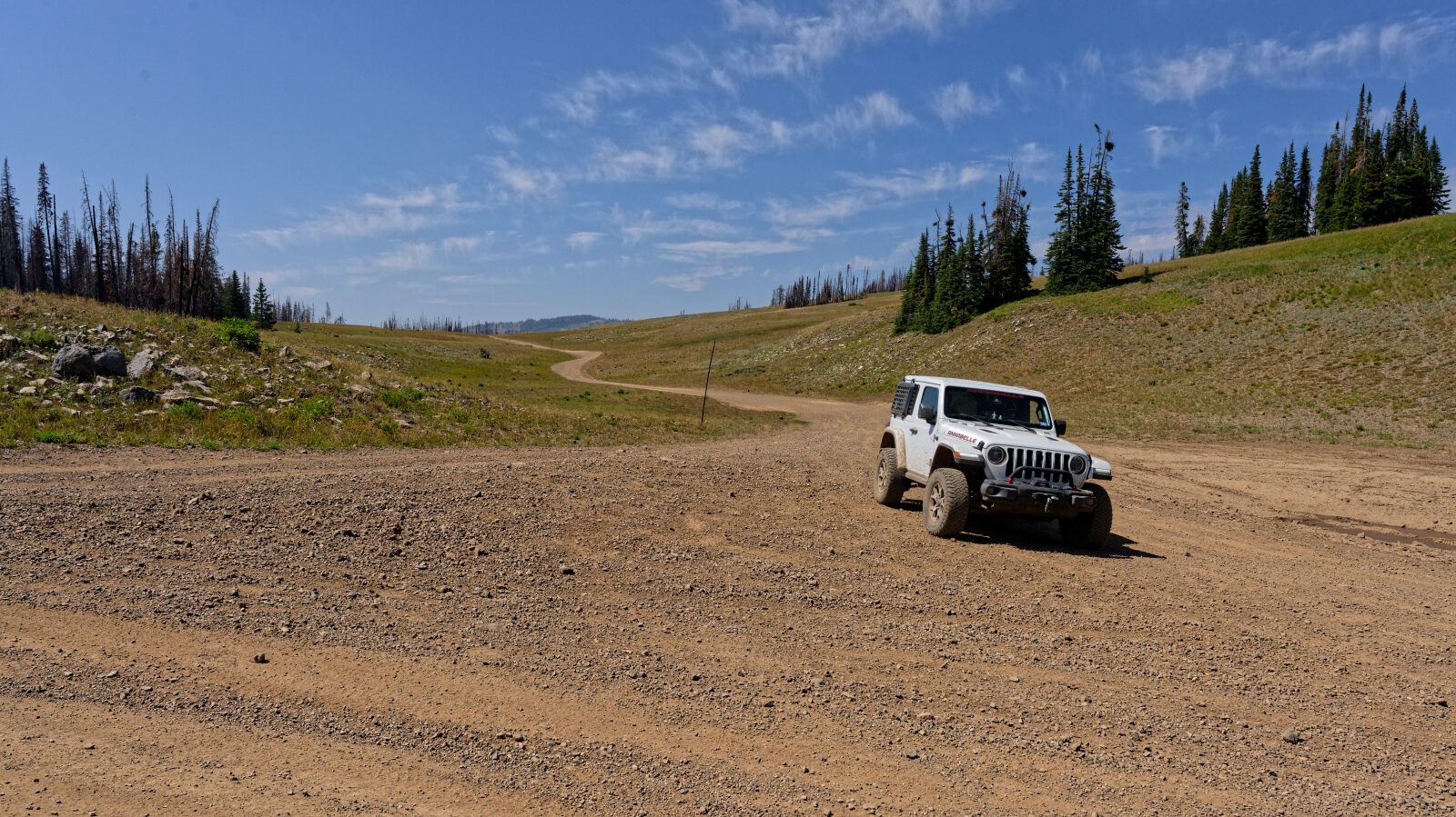
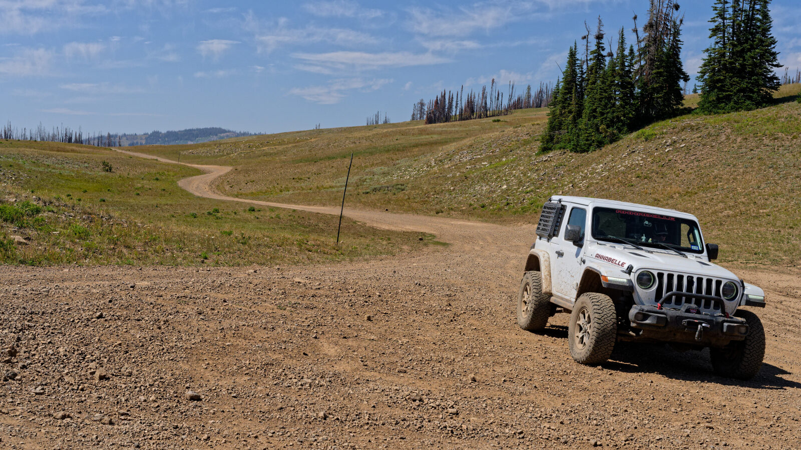
This route crosses the Soapstone Basin area of the Uinta Mountains in Wasatch County, on the Heber-Kamas Ranger District of the Uinta-Wasatch-Cache National Forest. It is a forest dirt road through the high country east of the Wasatch Front, used by 4x4 drivers, ATV and side-by-side riders, campers and mountain bikers.
The basin is a popular place to get out of the summer heat. Forest roads and spur tracks branch off in many directions, so it helps to carry a map and stay on the route you planned. The route follows Soapstone Basin Road (FR 037) the whole way. Seasonal closures can apply to FR 037 and the Soapstone Bridge area, so check current Forest Service orders before you go.
Trail Summary
- LocationKamas, Utah
- Distance5.9 miles
- DifficultyLevel 2
- Elevation8,533 ft to 9,723 ft with a 1,190 ft change
- Travel Time36 minutes
Difficulty
Typically suitable for high clearance 2WD
This route is rated Easy, level 2, which suits a high clearance 2WD vehicle in dry conditions. Stock equipment is enough, but the surface will test tire traction and ground clearance in places. Expect dirt and rocky road with ruts, dips, rocks and small ledges, with obstacles generally under 9 inches. Shallow water crossings are possible. The road is typically not maintained after rain or snow, and it is usually one to two vehicles wide. The level 2 rating applies in dry conditions only. The driver's log does not call out any spot that needs special attention.
Terrain
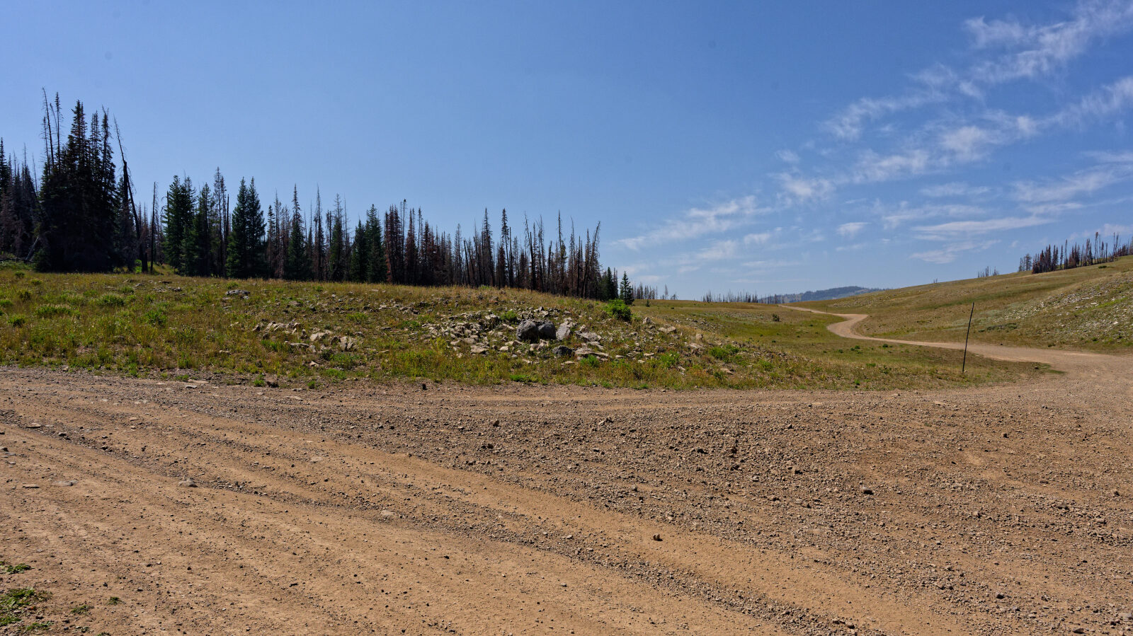
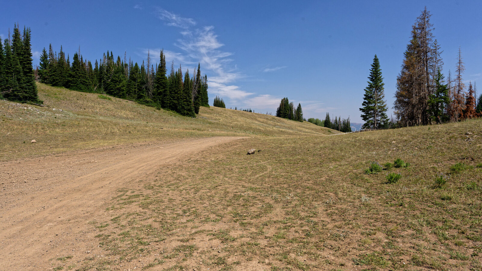
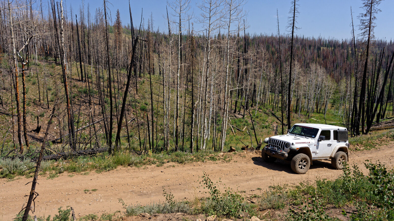
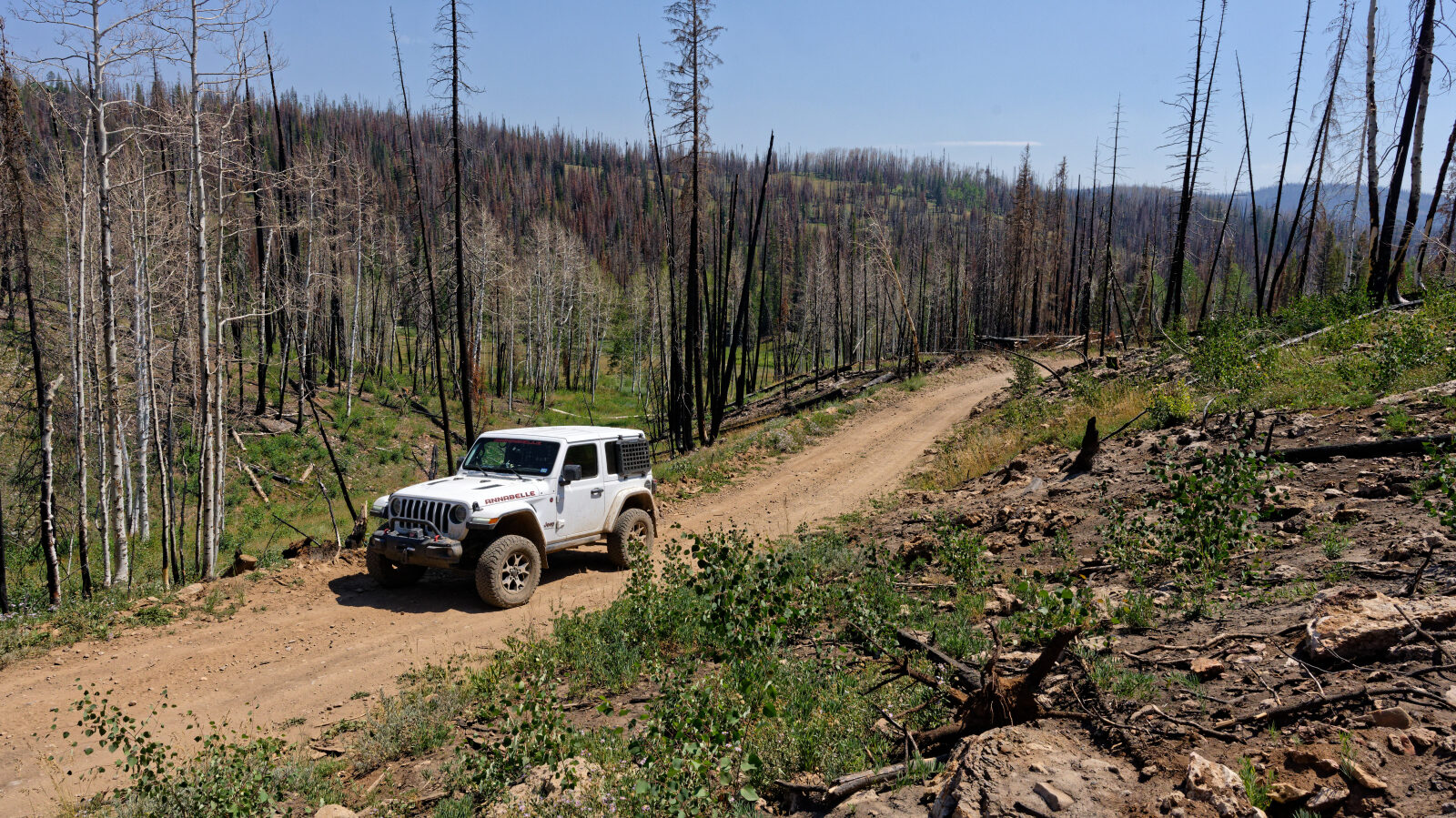
The road runs through high Uinta country, with conifer and aspen forest broken up by open meadows and small drainages. The surface is mostly native dirt with some rocky stretches. Forest Service reports for the main Soapstone Basin road (FR 037) describe it as generally good, while side roads and meadows hold mud and snow longer in spring. Dirt sections can rut up after rain.
Highlights
Soapstone Campground and Soapstone Basin dispersed camping are close by, and the Mirror Lake Scenic Byway gives access to alpine lakes and trailheads into the High Uintas Wilderness. The area is also used by mountain bikers and, in winter, by snowmobilers and fat bikers.
Trail GPS File
Map
The interactive map needs JavaScript. Every waypoint is also listed below.
Waypoints
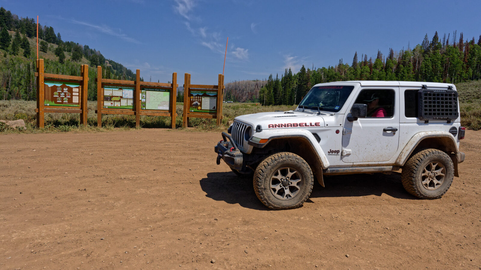
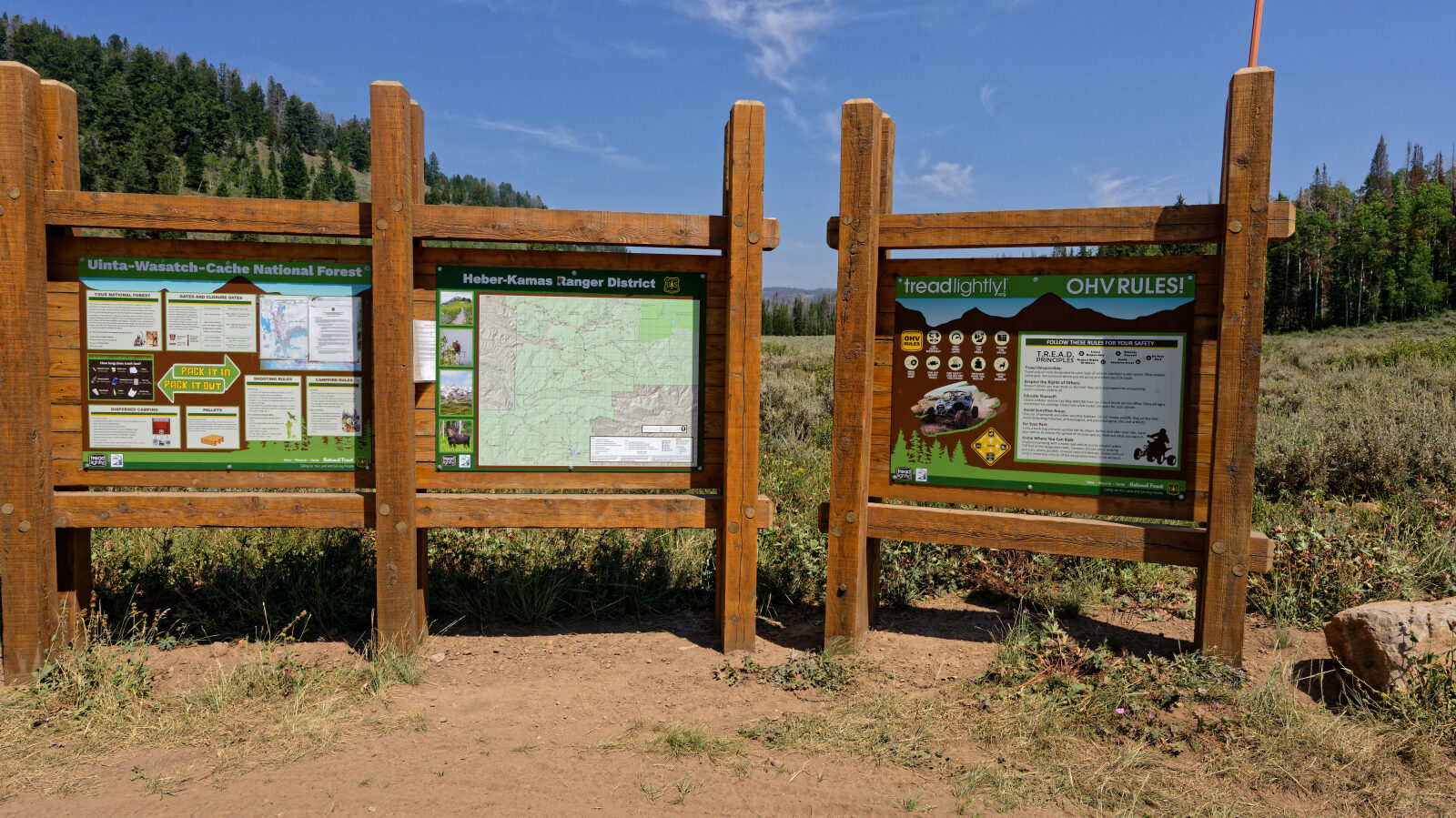
Waypoint 1 (40.54144, -111.02858)
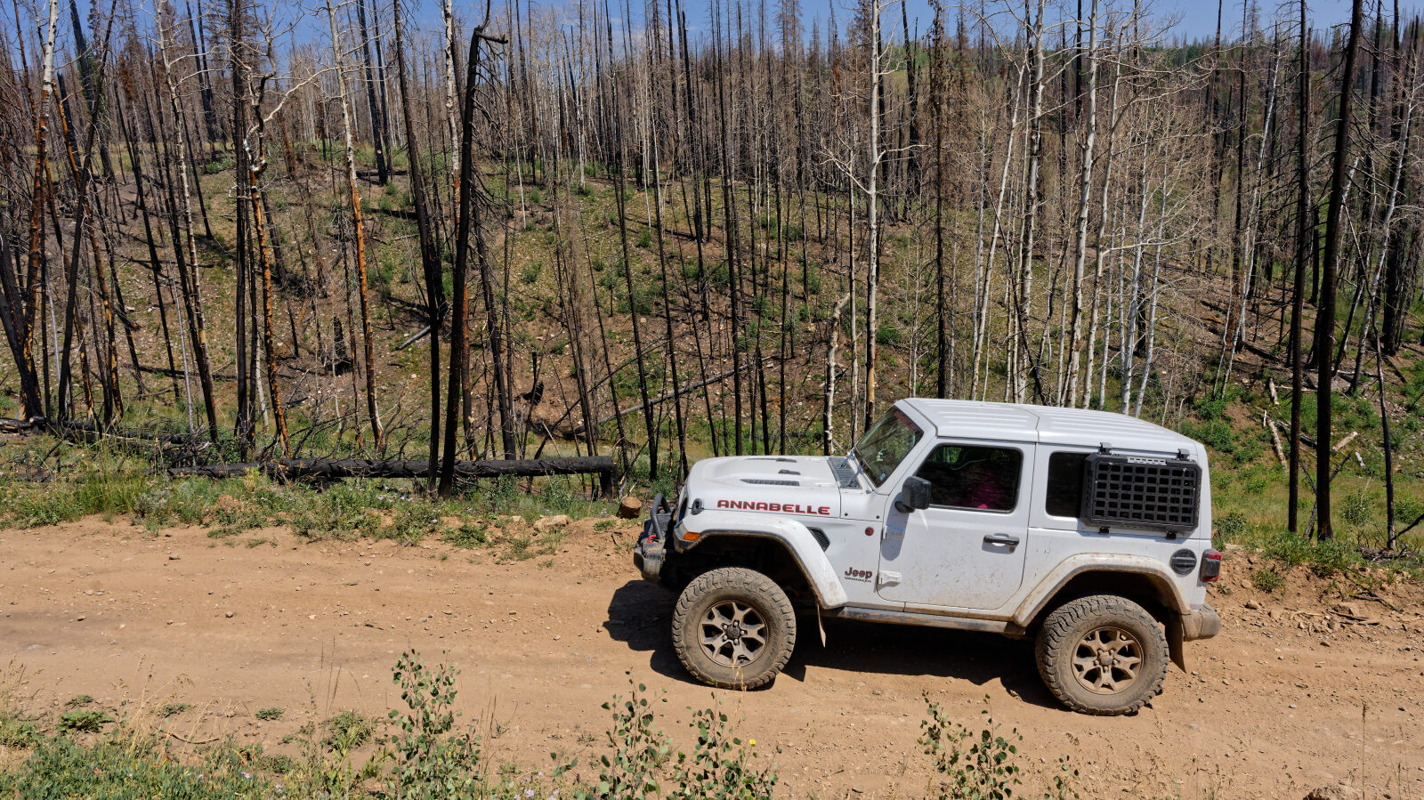
Waypoint 2 (40.55190, -110.97865)