Soapstone Mtn - Level 2 (optional 3)
This short spur climbs to the top of Soapstone Mountain, a forested summit in the western Uinta Mountains. It sits in the Soapstone Basin area of the Uinta-Wasatch-Cache National Forest, on the Wasatch County side of the Heber-Kamas Ranger District.
The area is popular with off-highway vehicle riders and drivers. Many dirt roads cross it, and it is a common summer escape from the Wasatch Front heat. The summit trail is a quick add-on to a longer day in the basin.
Trail Summary
- LocationWasatch County, Utah
- Distance0.5 miles
- DifficultyLevel 2, with an optional Level 3
- Elevation9,227 ft to 9,454 ft with a 227 ft change
- Travel Time9 minutes
Difficulty
Typically suitable for high clearance 2WD
Rated Easy (Level 2), typically suitable for a high clearance 2WD vehicle. Stock equipment is enough, but expect rocks, dips or ruts under about 9 inches that can test tire traction and ground clearance. Small ledges under 12 inches and shallow water are possible, and the road is not maintained after rain or snow. It is one to two vehicles wide. The log does not call out any obstacle needing special attention. Drivers who want more challenge can take an optional harder line at Moderate (Level 3), which suits a high clearance 4x4. That means more rock or uneven surface, ledges or drops up to 12 inches, and careful tire placement. Otherwise, stay on the easier line.
Terrain
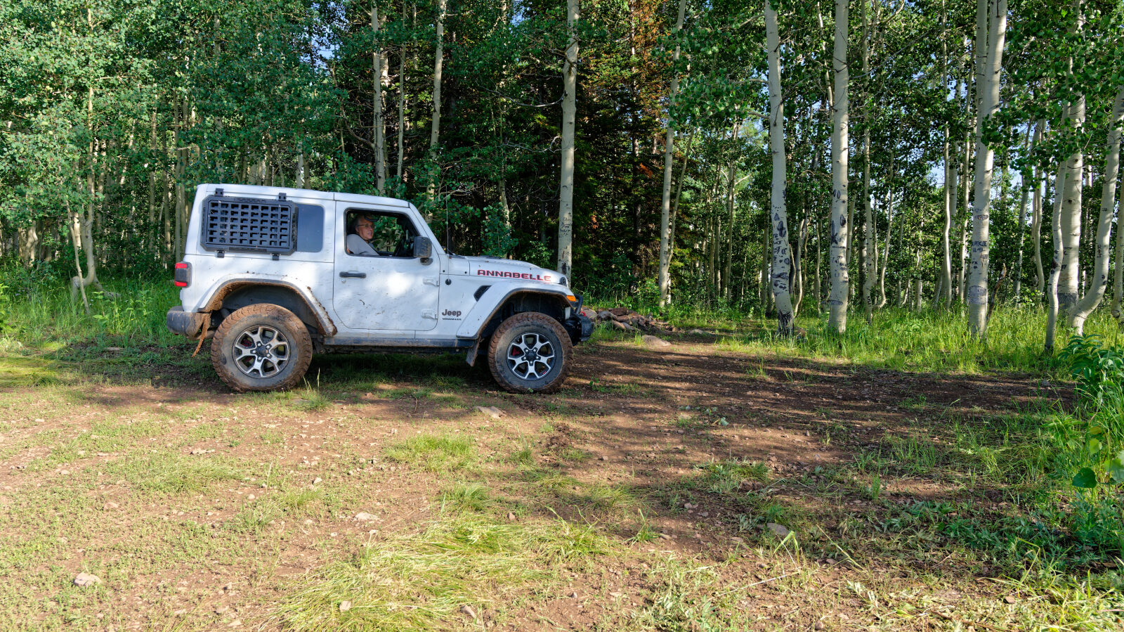
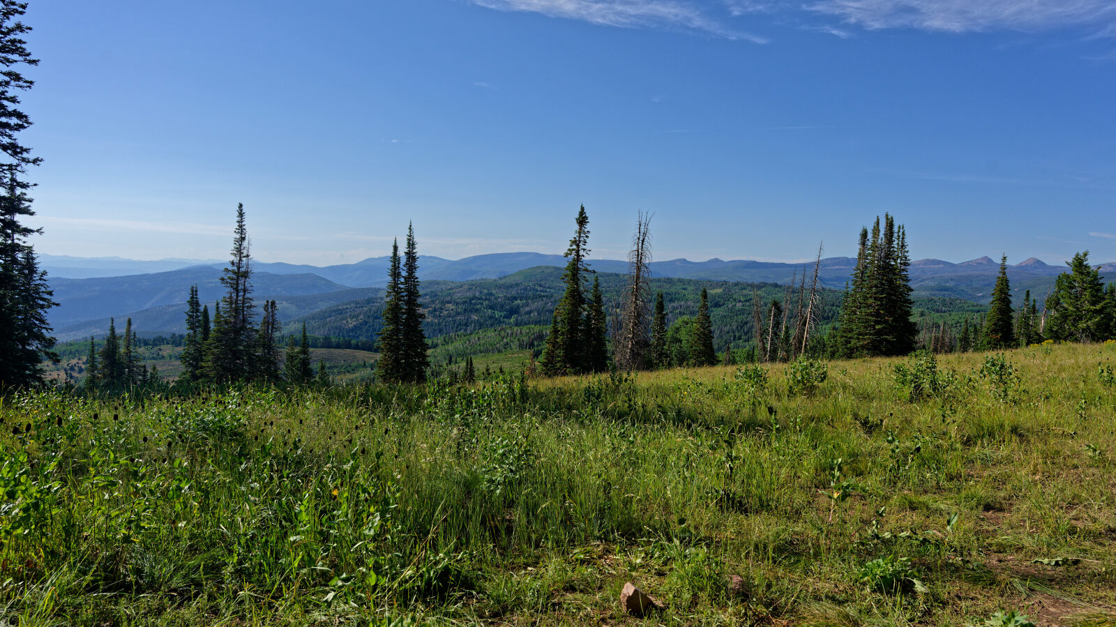
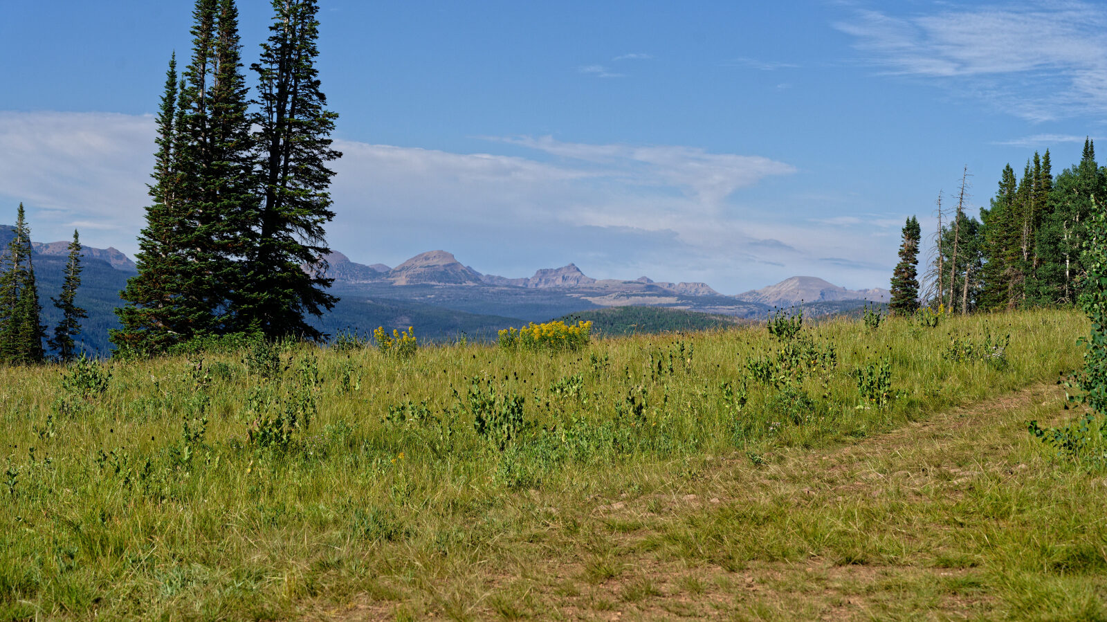
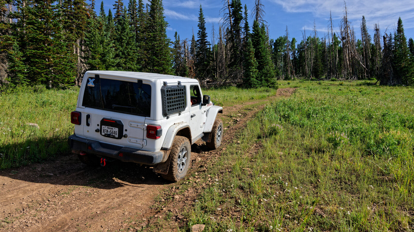
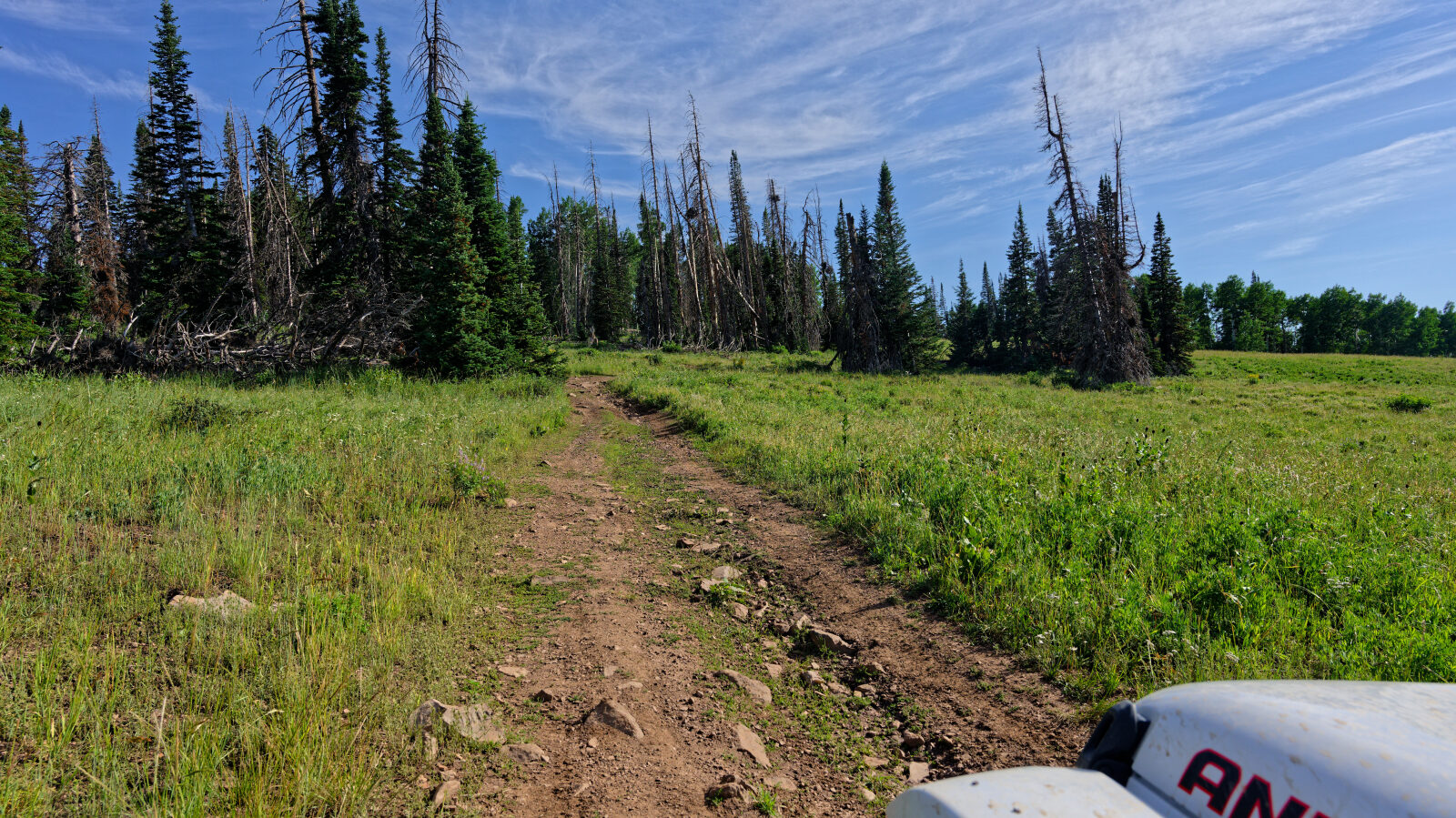
The route runs on dirt and rock through a high-elevation forest of conifers and aspen, typical of the western Uintas. Nearby roads in Soapstone Basin are mostly gravel and dirt, and the surface here can be loose or rutted, especially after wet weather. The summit is wooded, so views come in glimpses through the trees rather than from an open top.
Highlights
Soapstone Mountain is one of the higher points in the basin, at roughly 9,470 feet on USGS maps, and the trail ends close to the summit. Soapstone Campground lies a few miles away on the Mirror Lake Scenic Byway beside the Provo River, which makes it a handy base. Dispersed camping is also found south of the campground. Summer and early fall are the main season, and snow can keep the higher roads closed for much of the rest of the year.
Map
The interactive map needs JavaScript. Every waypoint is also listed below.
Waypoints
Waypoint 1 (40.53459, -111.05681)