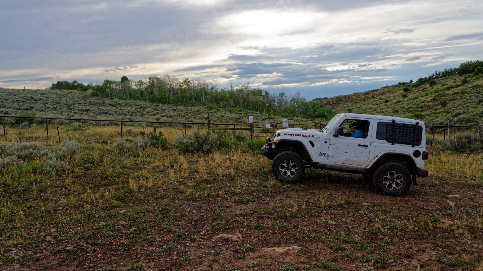
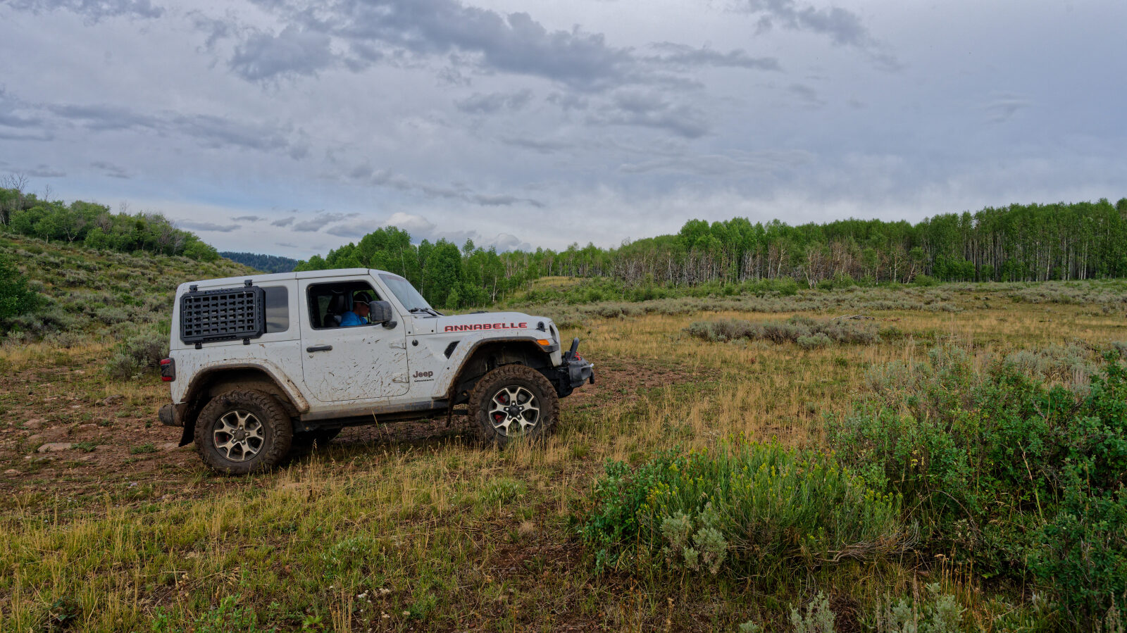
Upper Cedar Hollow - Level 3
Upper Cedar Hollow is an OHV route in the Uinta-Wasatch-Cache National Forest in Summit County, on the Heber-Kamas side of the Wasatch Mountains east of Park City. It climbs through forested hollows and ridges, and it is part of the Cedar Hollow network of motorized trails that also serves ATV and side-by-side riders.
The route is a point-to-point run on forest trail rather than a graded road. It makes a good half-day outing for a stock high clearance 4x4 that stays on the designated route.
Trail Summary
- LocationSummit County, Utah
- Distance5.6 miles
- DifficultyLevel 3
- Elevation7,665 ft to 8,672 ft with a 1,007 ft change
- Travel Time1 hour 15 minutes
Difficulty
Best suited for a high clearance 4x4
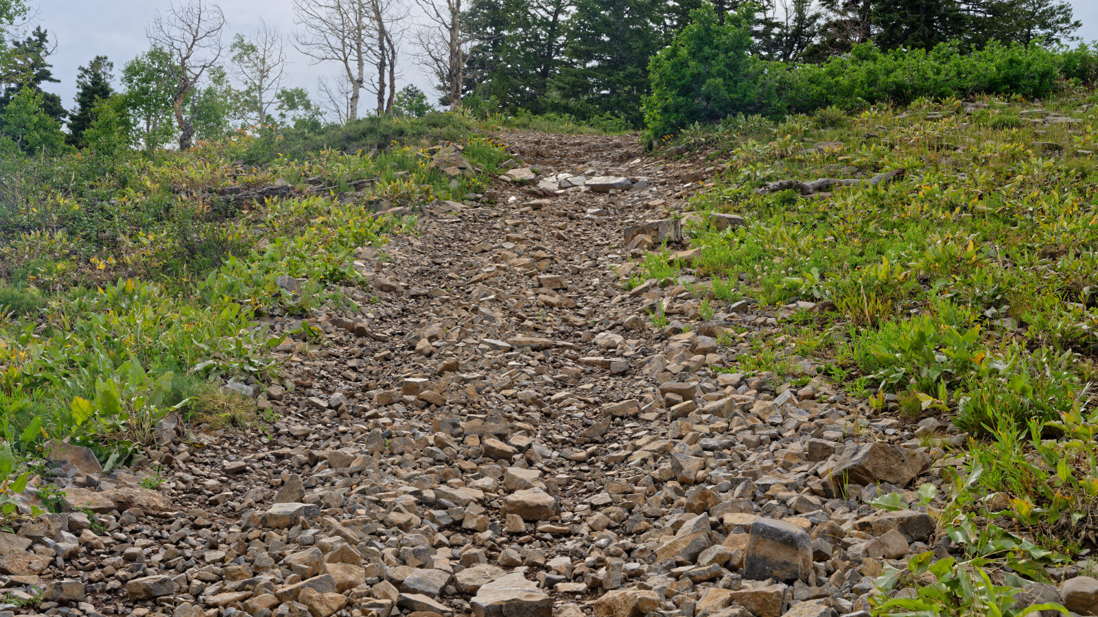
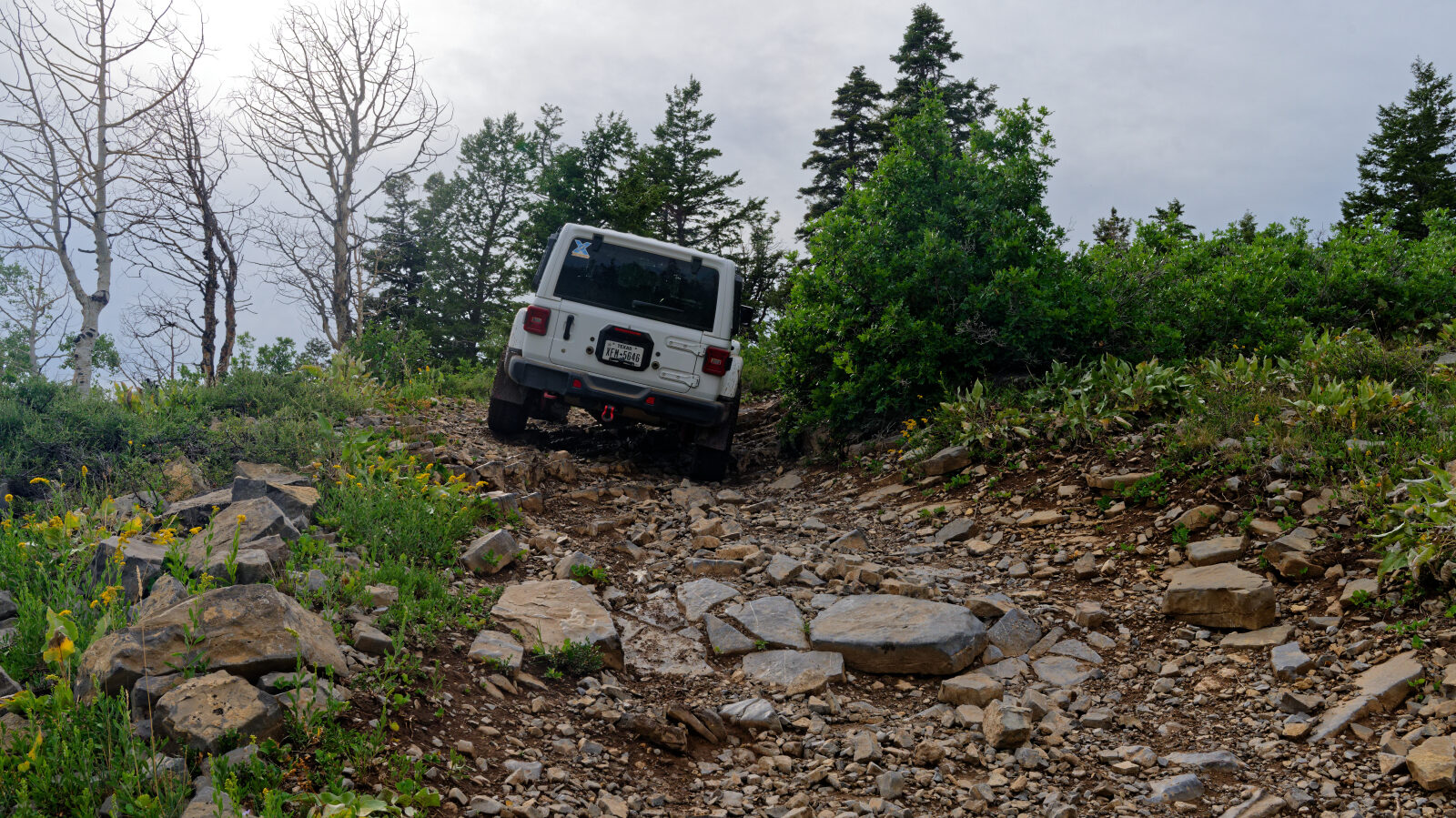
This is a Moderate (level 3) trail, suited to a stock high clearance 4x4 with 4WD and all-terrain tires. Expect an uneven, rutted dirt surface with some loose rock and possible sandy or muddy spots. Ledges, short steep pitches or water crossings, if present, should stay under about 12 inches, and careful tire placement may be needed. The trail is generally one vehicle wide with places to pass. The driver's log does not call out any specific obstacle, so nothing here needs special attention beyond normal care on loose or wet ground. Conditions change after rain and snowmelt, so check with the Forest Service before you go.
Terrain
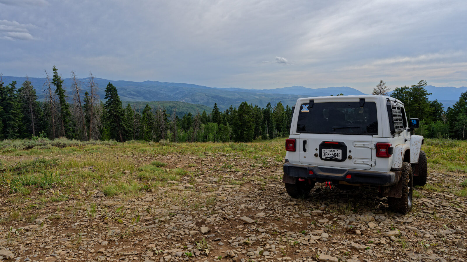
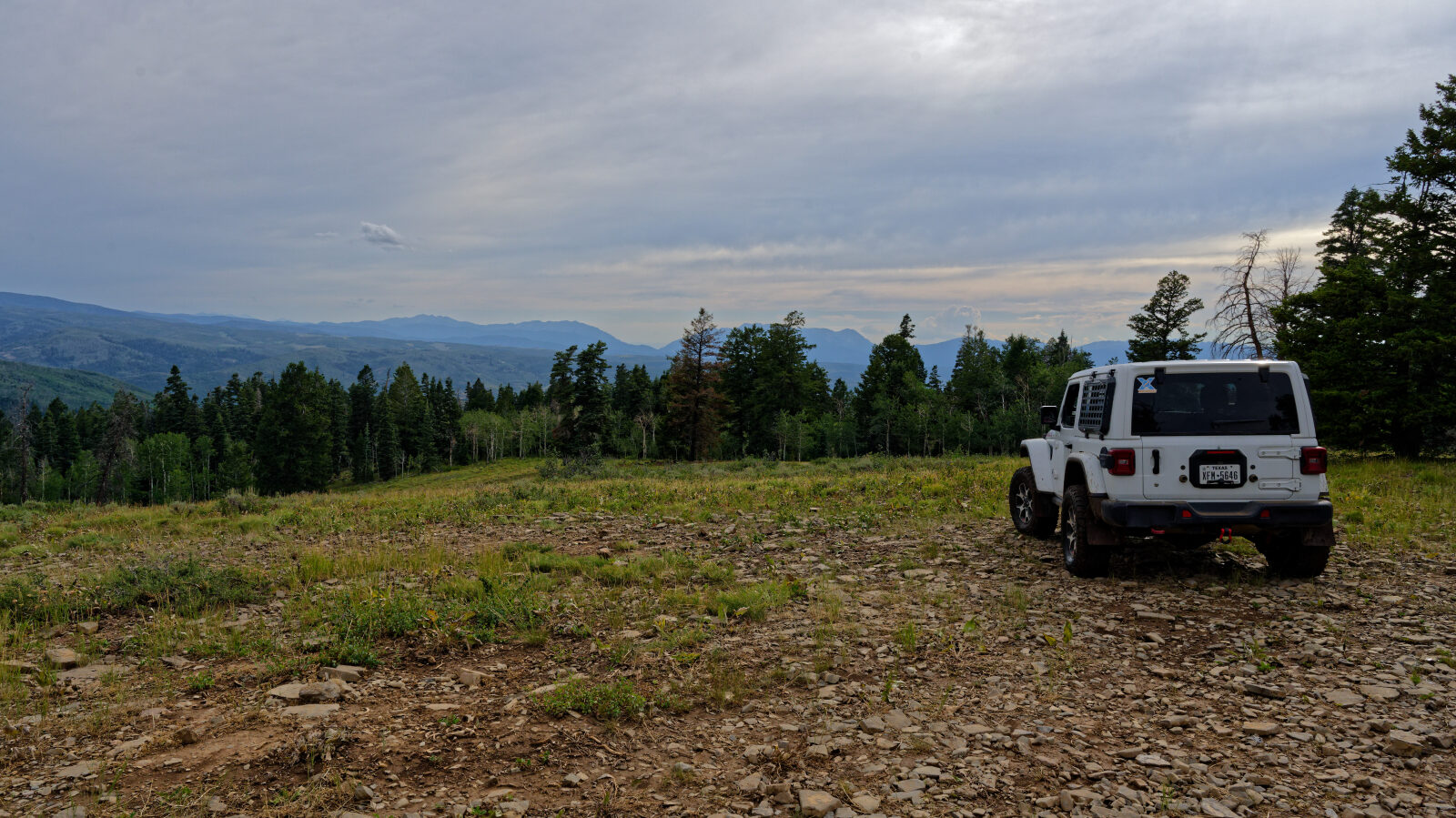
The route is dirt forest trail that runs through aspen and conifer stands and across more open hillsides. Surfaces are mostly packed dirt with rutting and scattered rock, and they soften when wet. Other users describe the wider Cedar Hollow network as having a mix of rocky sections, smooth dirt and repeated short ups and downs. Cattle graze parts of this area in summer, so expect to meet cows on or near the trail.
Highlights
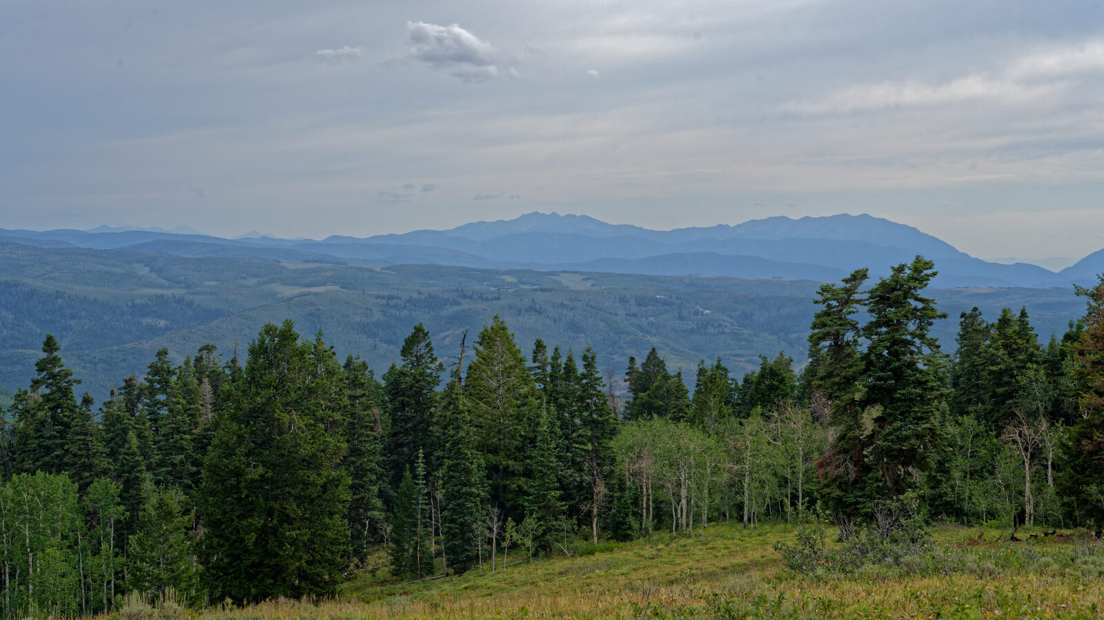
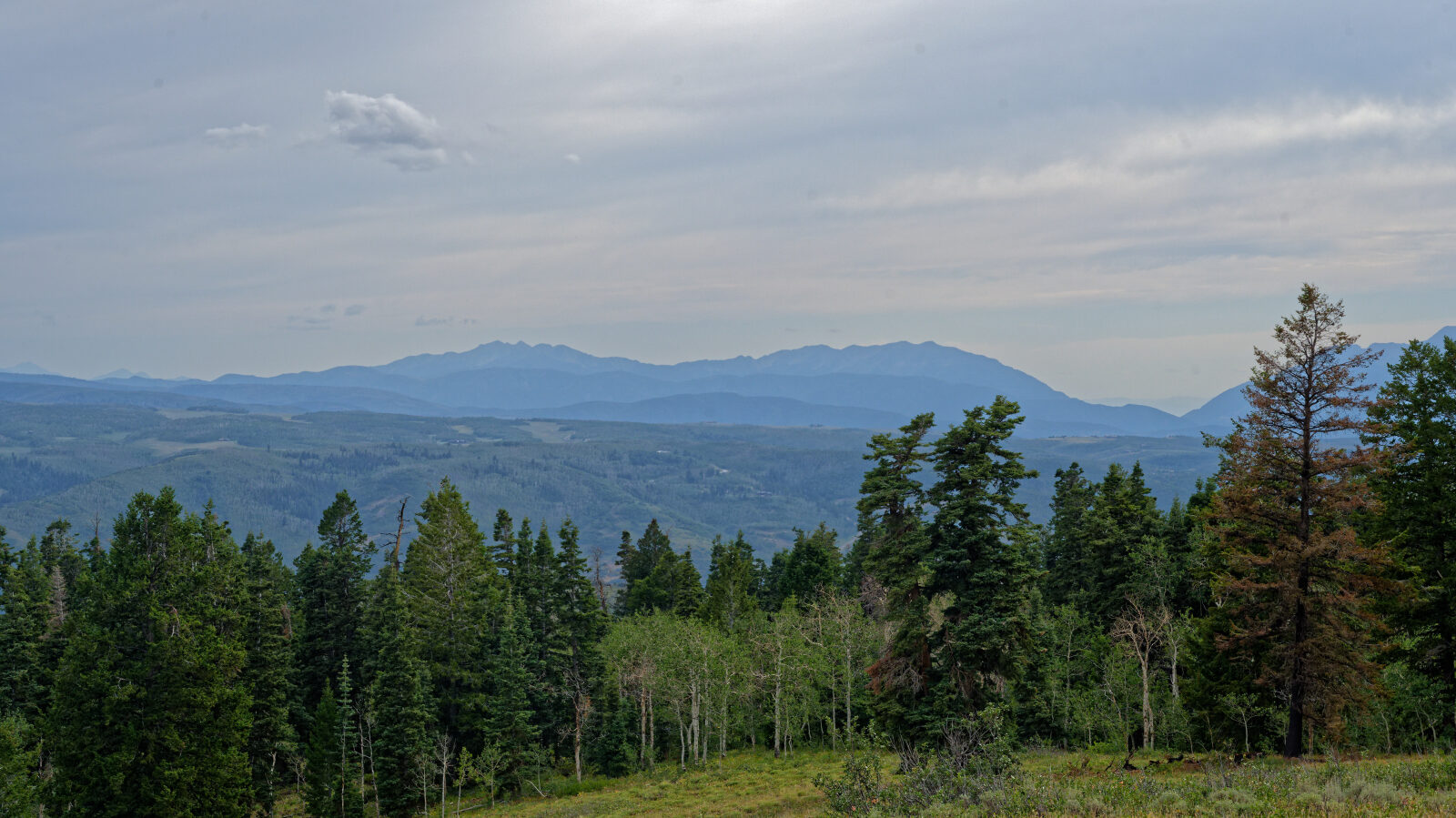
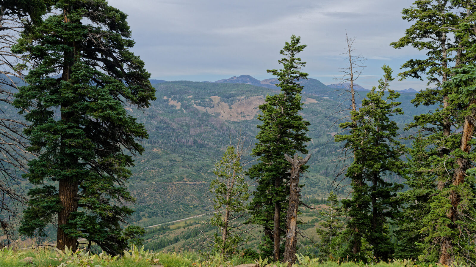
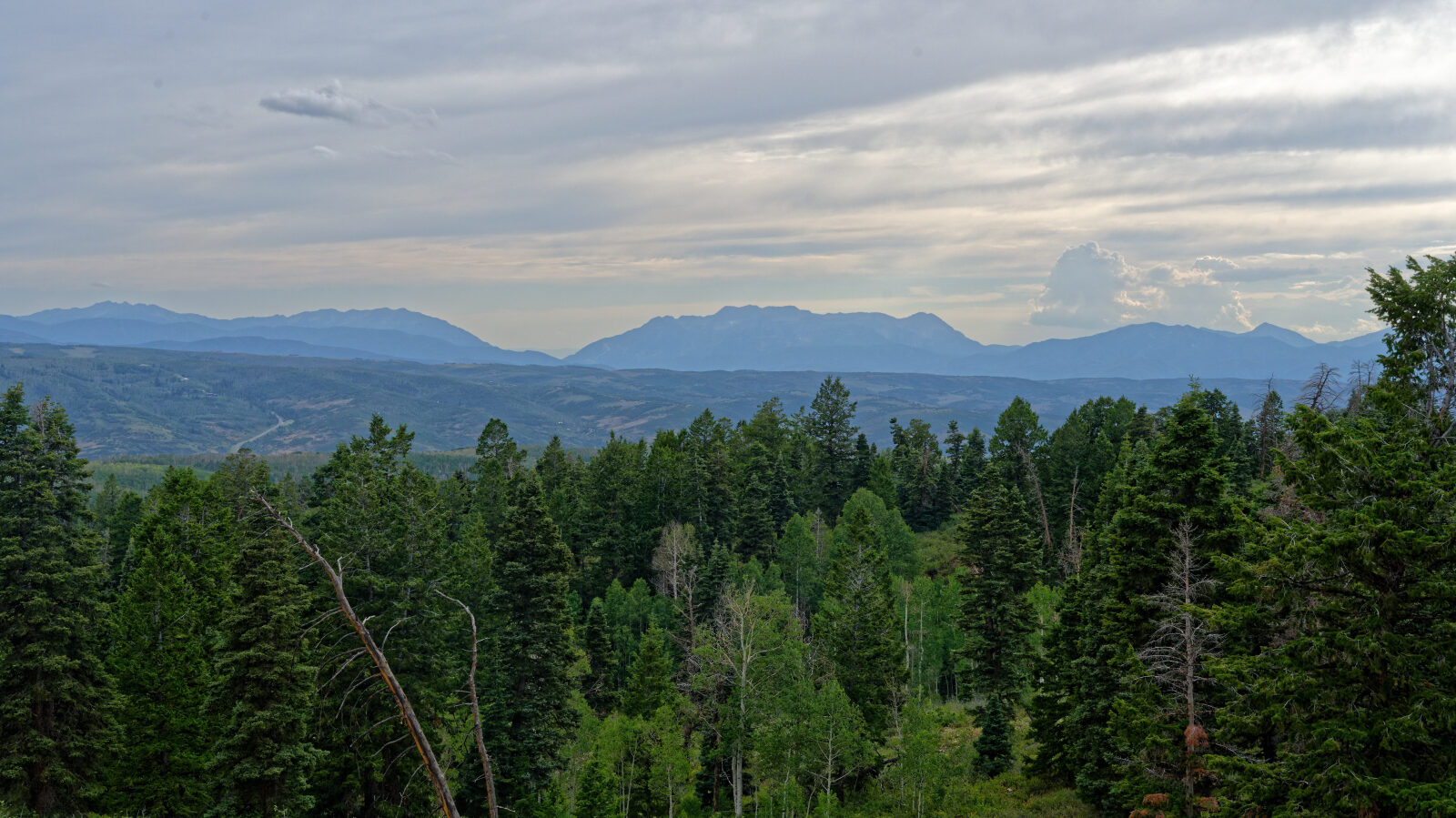
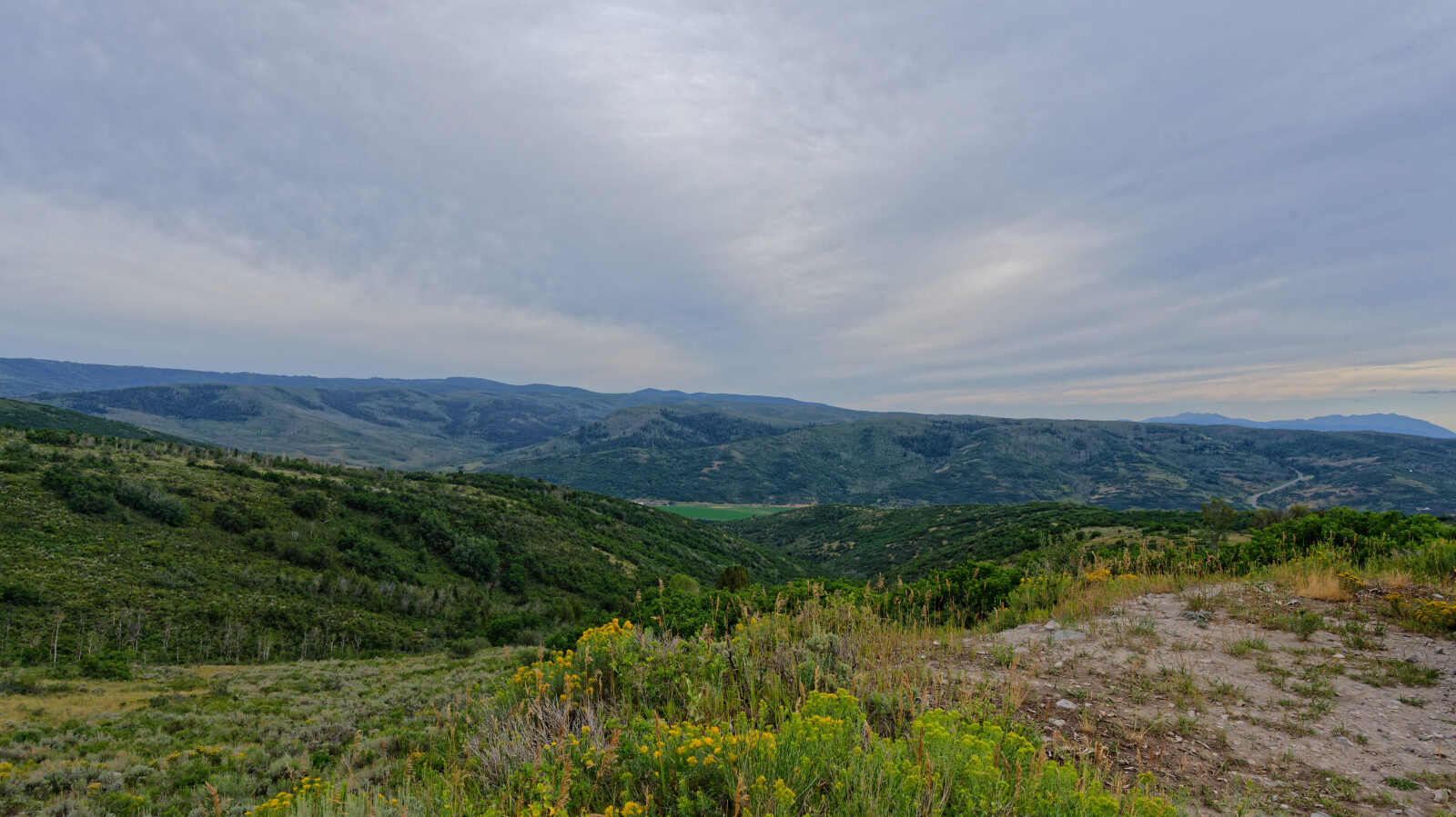
Upper Cedar Hollow links with the rest of the Cedar Hollow OHV trails and the nearby campground, so it can be combined with other routes in the area. Aspen groves along the way are a draw in early fall. Ridge sections in the surrounding network are reported to have views toward Heber Valley. The area is also used by hikers, mountain bikers and ATV riders, so keep speeds down and be ready to yield.
Map
The interactive map needs JavaScript. Every waypoint is also listed below.
Waypoints
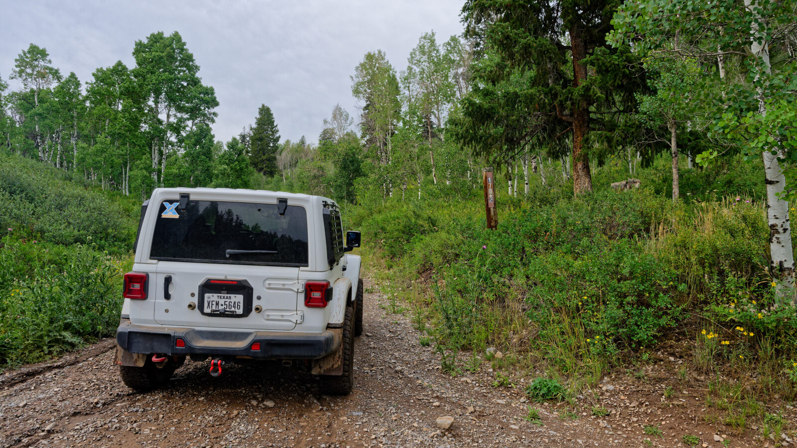
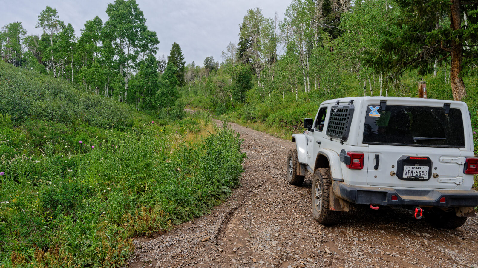
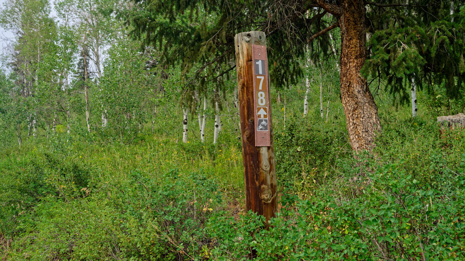
Waypoint 1 (40.58962, -111.14612)
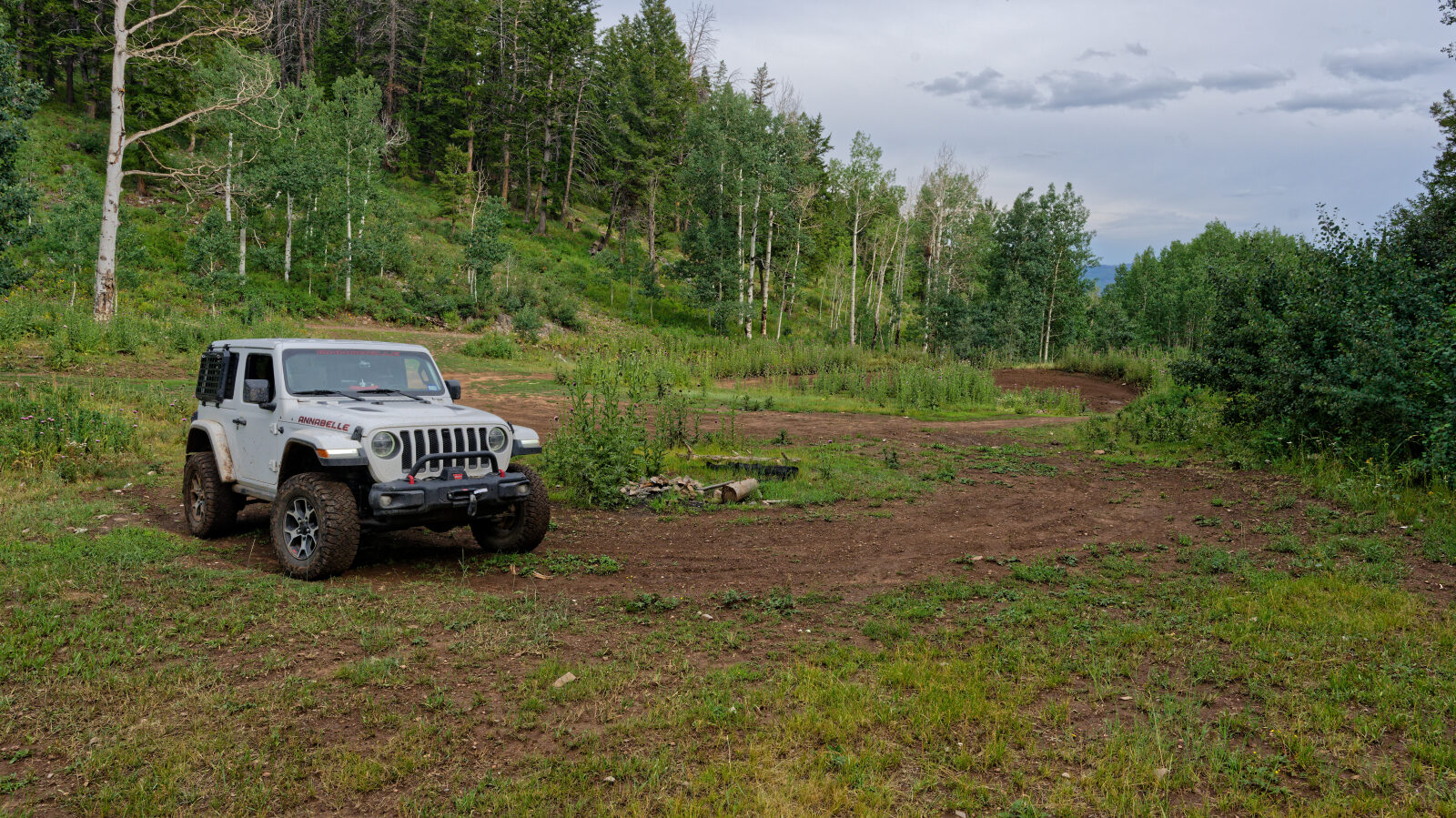
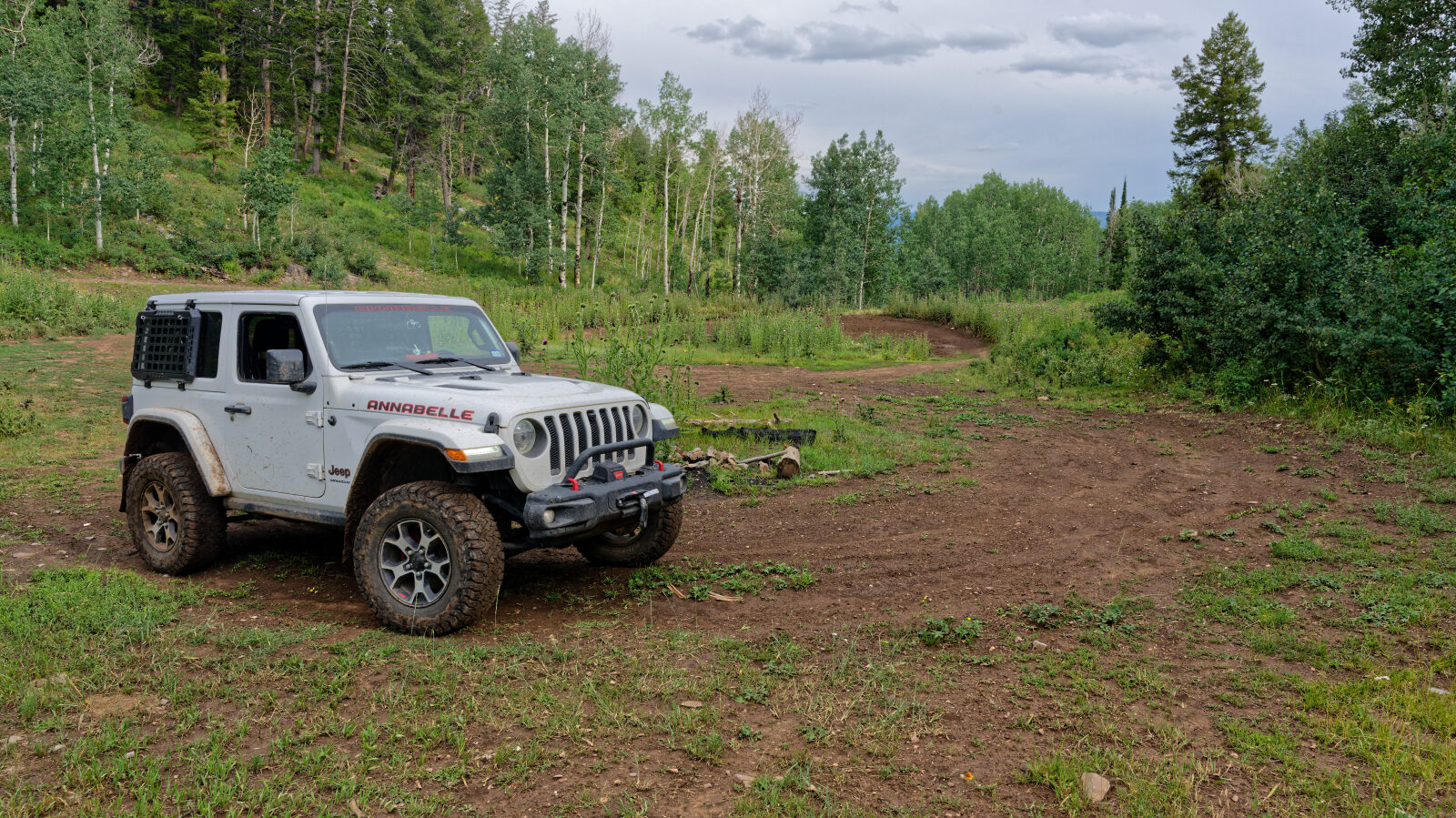
Waypoint 2 (40.59481, -111.14764)
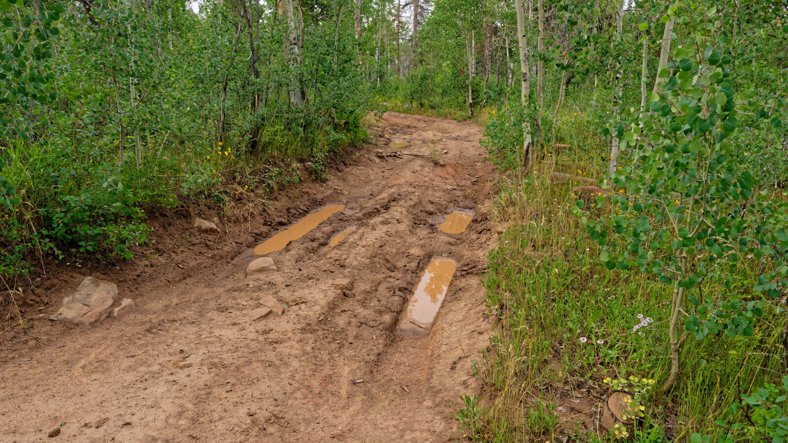
Waypoint 3 (40.59870, -111.15282)
Waypoint 4 (40.60561, -111.16130)
Waypoint 5 (40.60668, -111.16551)
Waypoint 6 (40.60414, -111.16955)
Waypoint 7 (40.58902, -111.18905)
Waypoint 8 (40.58766, -111.19005)