Trail Hollow West - Level 3
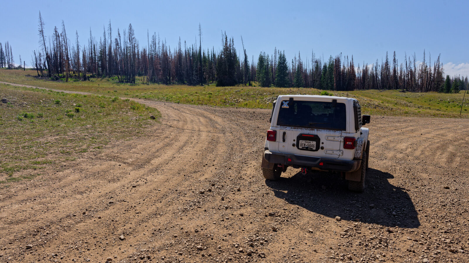
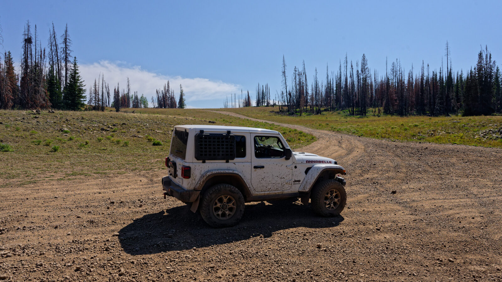
Trail Hollow West is a loop on the Uinta Mountains side of Utah, reached from the top of Rhodes Canyon near Soapstone Basin. It is also known locally as Lightning Ridge. It is an unmaintained Forest Service road that sees far less traffic than the main routes in the basin.
The loop can be driven in either direction. Many drivers go to the overlooks and come back the same way. Camping along the route is limited.
Trail Summary
- LocationKamas, Utah
- Distance4.1 miles
- DifficultyLevel 3
- Elevation9,516 ft to 10,057 ft with a 541 ft change
- Travel Time43 minutes
Difficulty
Best suited for a high clearance 4x4
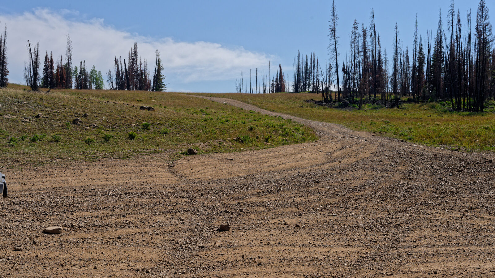
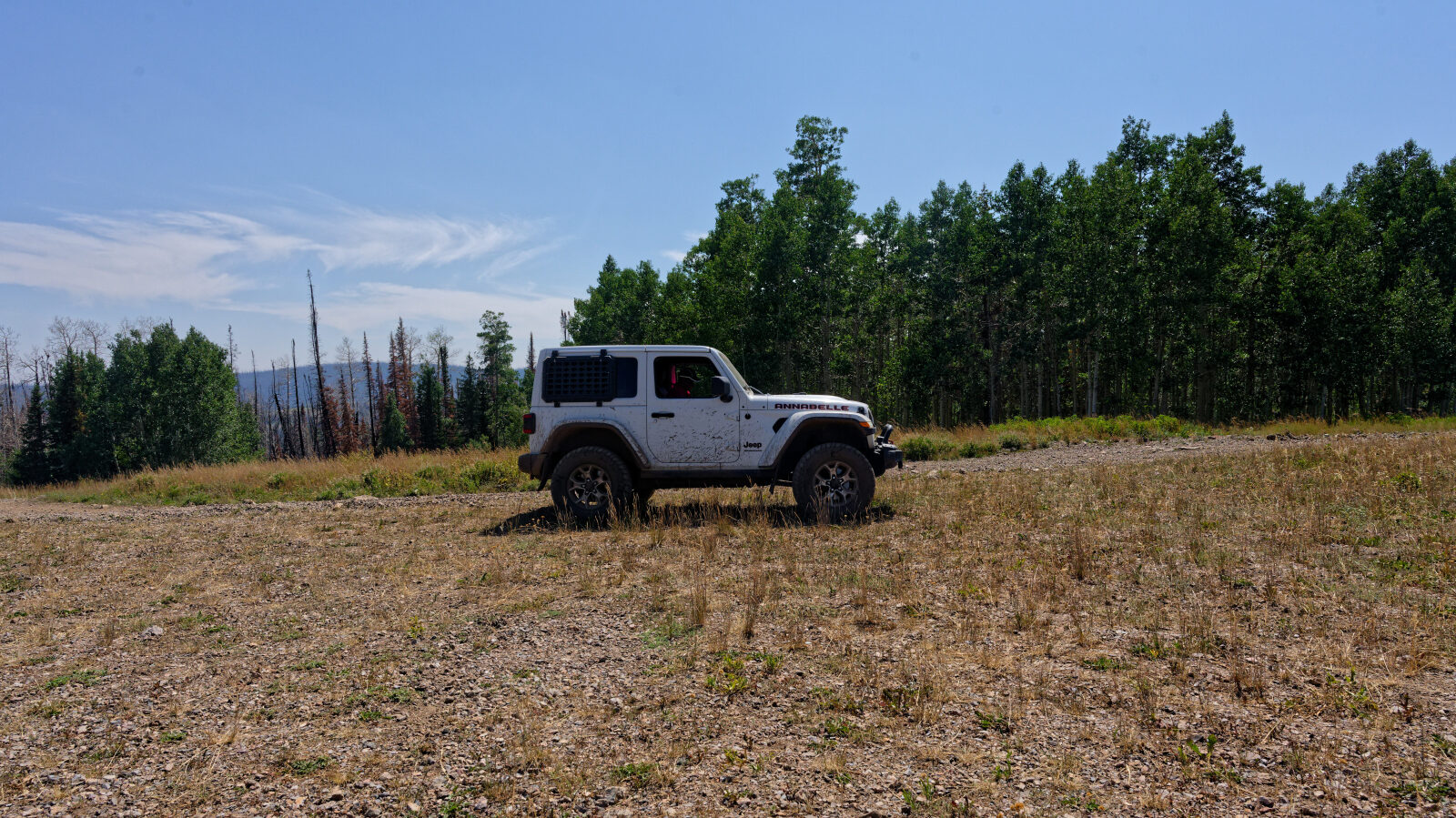
This trail is rated Moderate (level 3), best suited to a stock high clearance 4x4 with off-road tires. The rating applies to the whole loop, in either direction. Expect an uneven, rutted dirt road with loose rocks and the occasional ledge or short steep grade, with obstacles up to about 12 inches. Careful tire placement may be needed in places. The road is generally one vehicle wide with places to pass.
Terrain
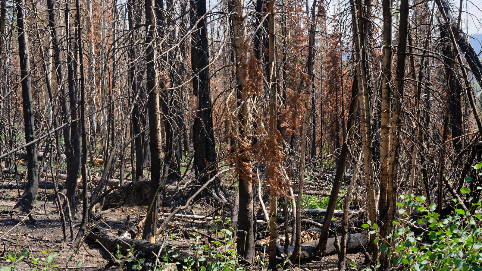
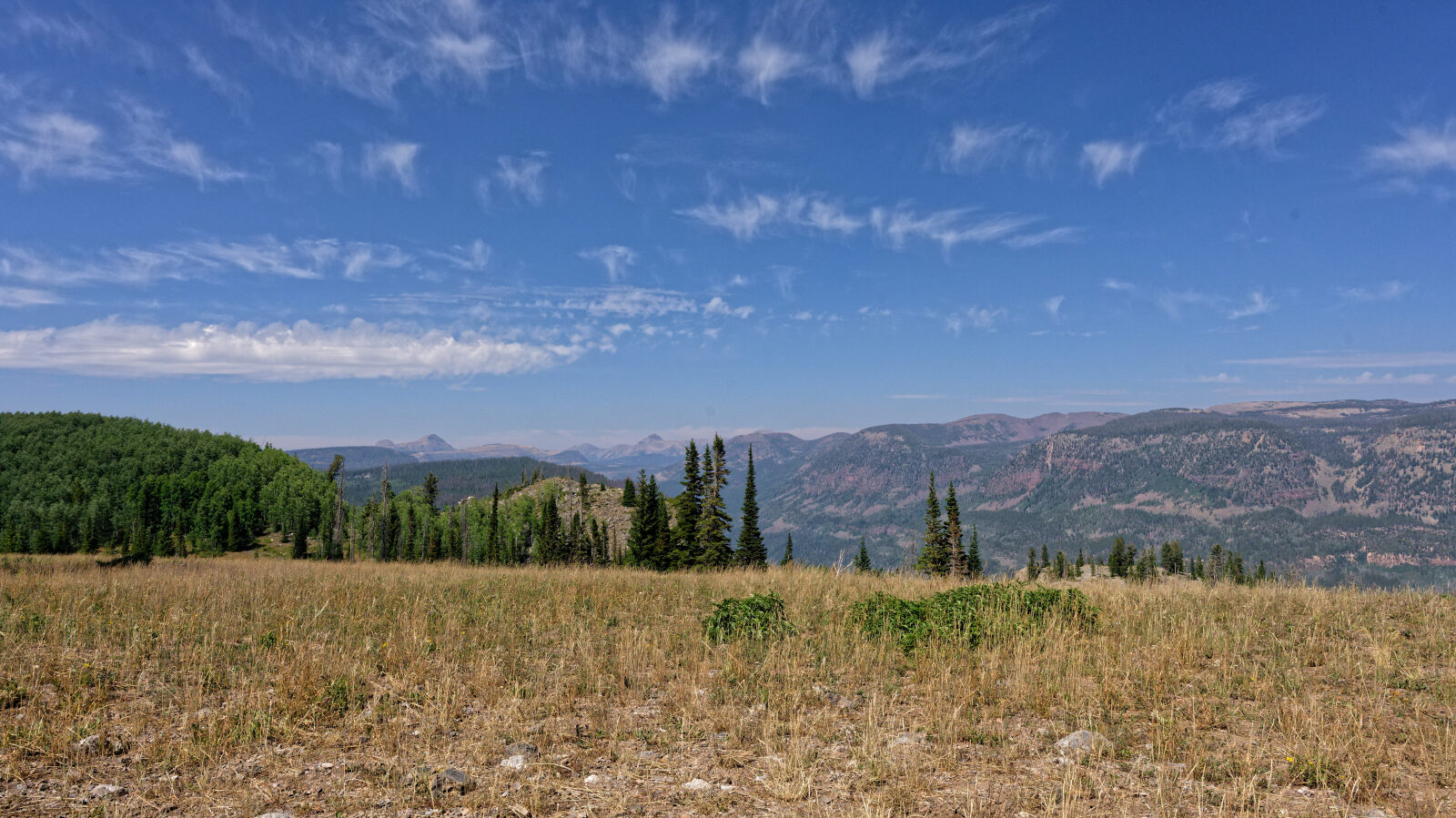
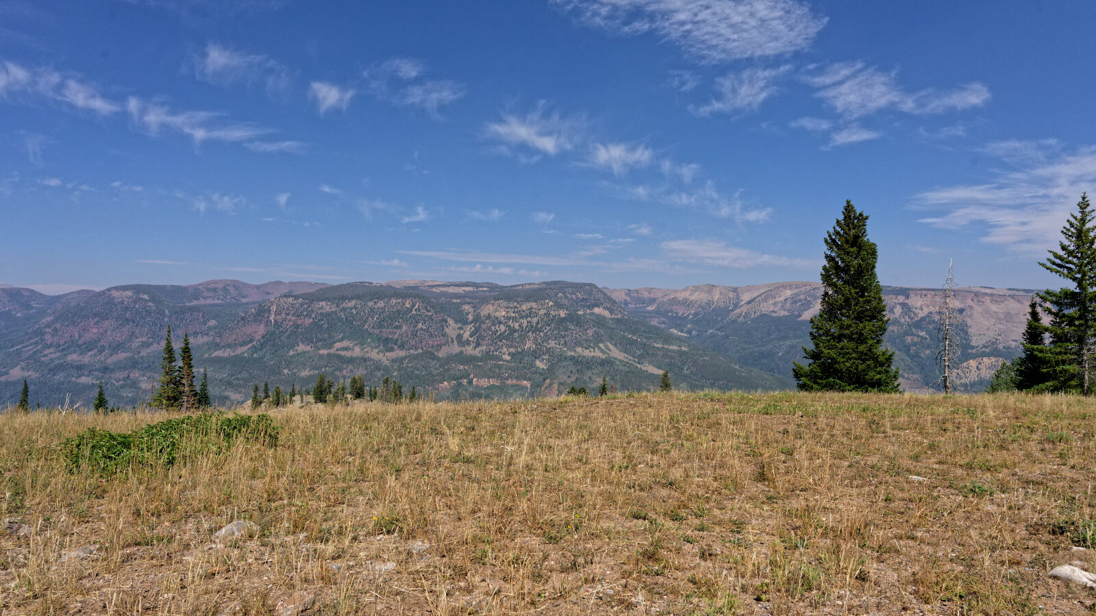
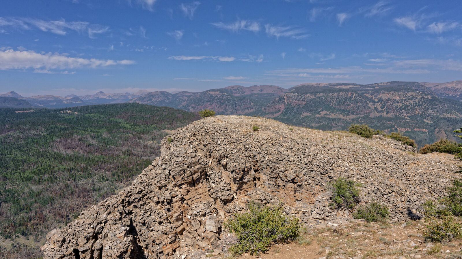
The road is dirt with rocky patches, some loose and some embedded. Other trail guides describe most of the rock as no larger than softball size, with one short steep climb. Rocky hills with somewhat larger loose rock and a rock shelf of about a foot are reported on the other side of the loop. The route runs through high conifer and aspen country above 9,500 feet and ends on exposed cliff tops above the surrounding drainages.
Highlights
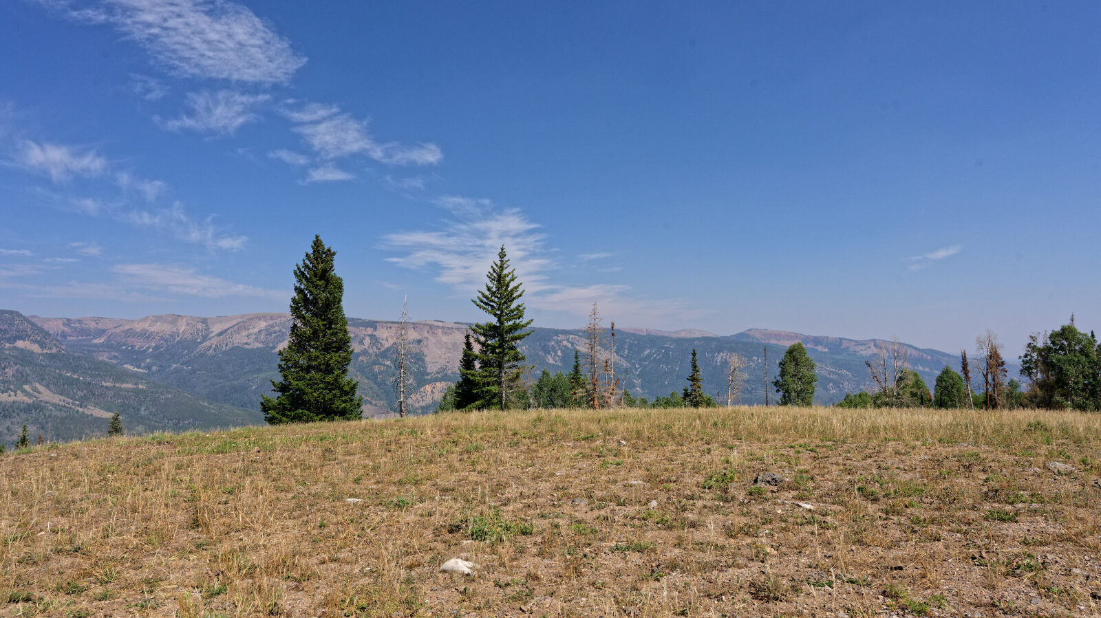
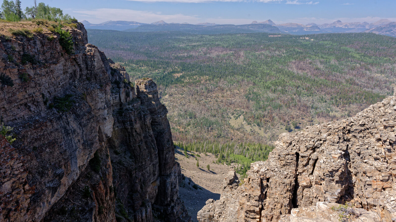
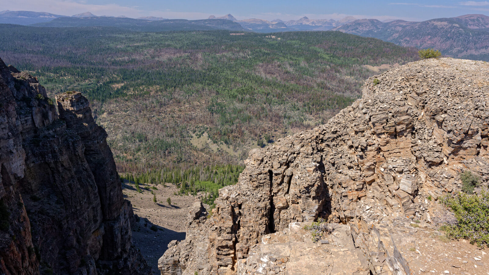
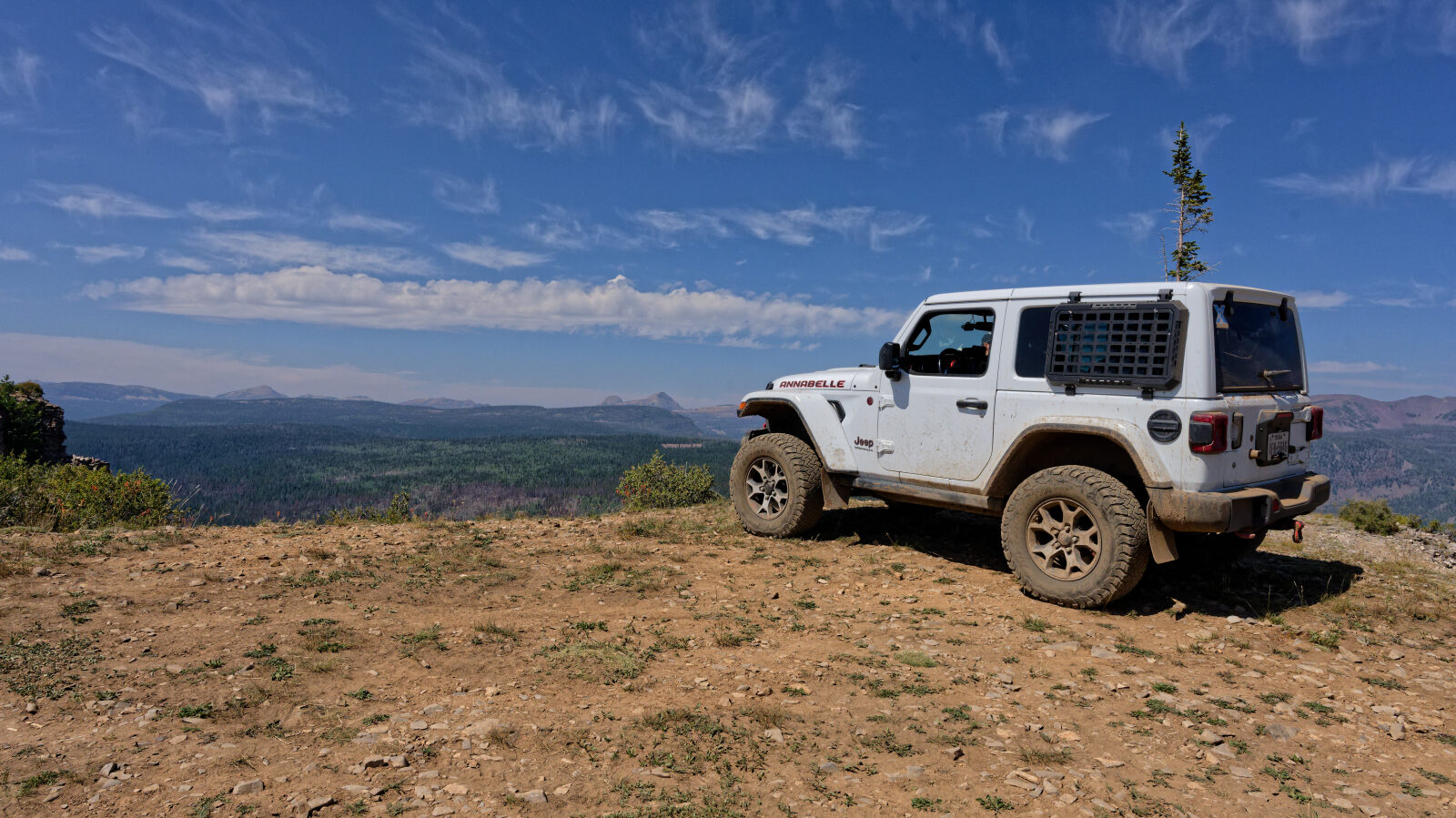
The main draw is the view from the cliff edge, where the ground drops away sharply and you look out over ridges and peaks above 10,000 feet in the Uintas. A few flat spots near the rim can fit a small number of rigs, though none are soft or large. Weather can change quickly at this elevation, so plan to be off the exposed ridge if a storm builds.
Trail GPS File
Map
The interactive map needs JavaScript. Every waypoint is also listed below.
Waypoints
Waypoint 1 (40.54019, -110.91221)
Waypoint 2 (40.54127, -110.91022)
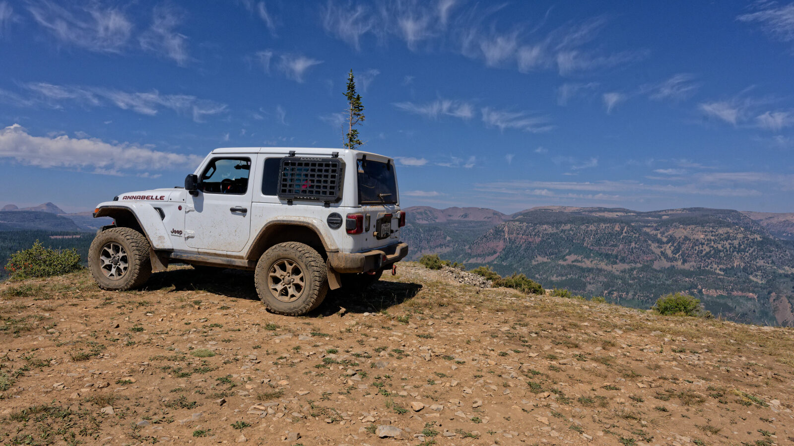
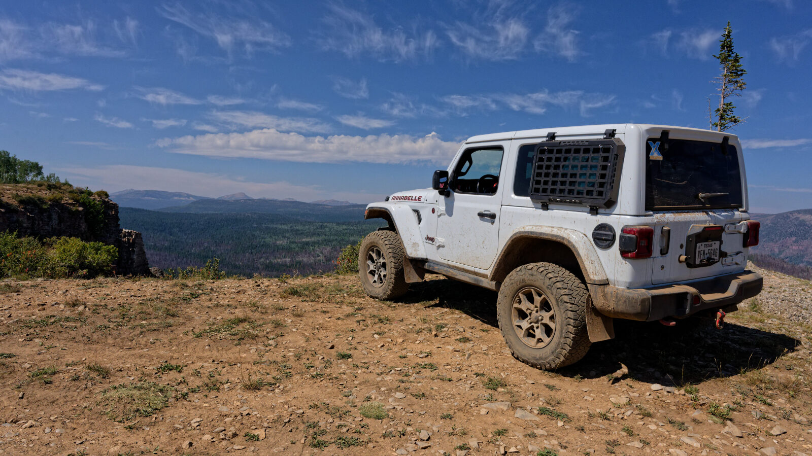
Waypoint 3 (40.54883, -110.91833)
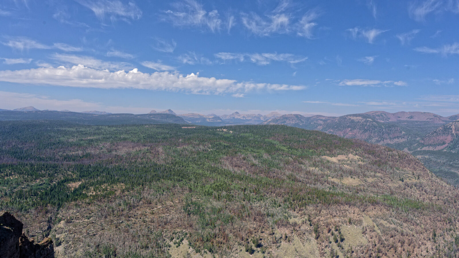
Waypoint 4 (40.55056, -110.91999)