Spring Canyon 2 - Level 2
Spring Canyon 2 is a short backcountry road in the high country of Summit County, Utah, on the Uinta-Wasatch-Cache National Forest. It follows a canyon drainage on a dirt road and is a quick side trip rather than a full-day outing.
The road is simple to follow and suits drivers who want an easy outing at altitude. It is part of, or a spur of, the Spring Canyon/Trial Lake route, so it also works well as an add-on to other roads in the area.
Trail Summary
- LocationSummit County, Utah
- Distance0.8 miles
- DifficultyLevel 2
- Elevation9,281 ft to 9,482 ft with a 201 ft change
- Travel Time20 minutes
Difficulty
Typically suitable for high clearance 2WD
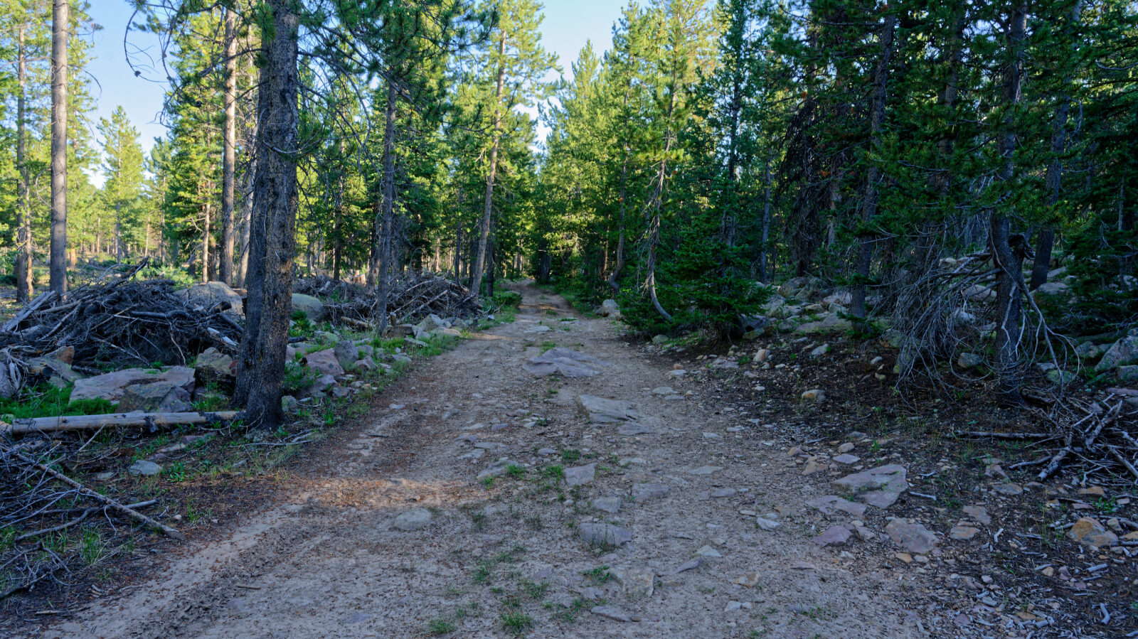
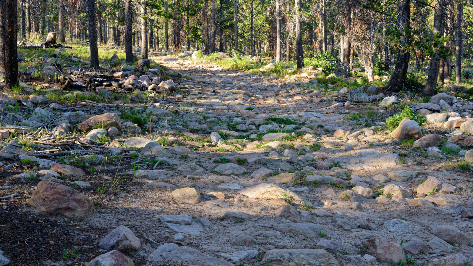
This trail is rated Easy (level 2), typically suitable for a high clearance 2WD vehicle. Stock equipment is enough, but the surface can still test tire traction and ground clearance. Expect dirt and some rocky sections, with possible dips, ruts or rocks under about 9 inches. Small ledges and shallow water crossings under about 12 inches are possible. The road is typically unmaintained after rain or snow, and it is usually one to two vehicles wide. The driver's log does not call out any obstacle that needs special attention, and the road is straightforward. It can be rougher in wet or snowy conditions.
Terrain
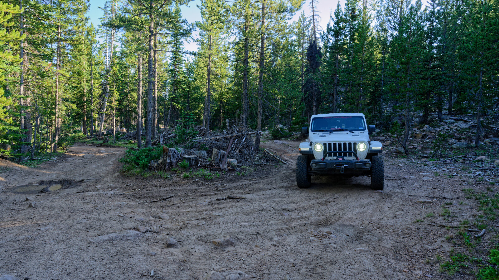
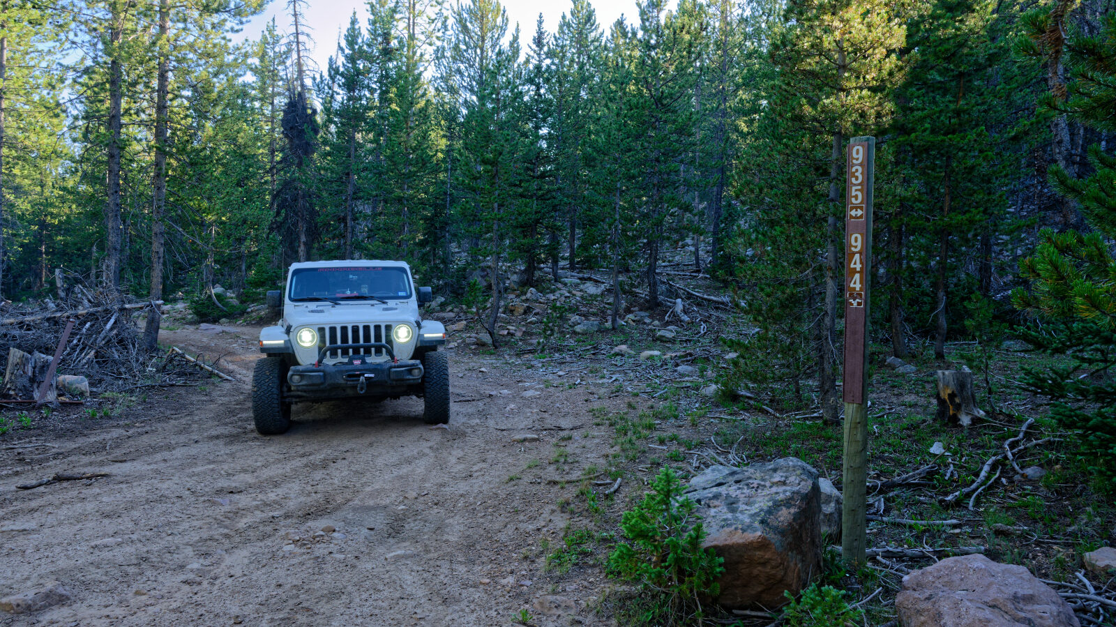
The route is a dirt road that climbs gently through a canyon at roughly 9,300 to 9,500 feet. At this elevation the surroundings are typically conifer and aspen forest with open meadow pockets. The surface can soften or rut after rain and snowmelt, and snow can linger into early summer.
Map
The interactive map needs JavaScript. Every waypoint is also listed below.
Waypoints
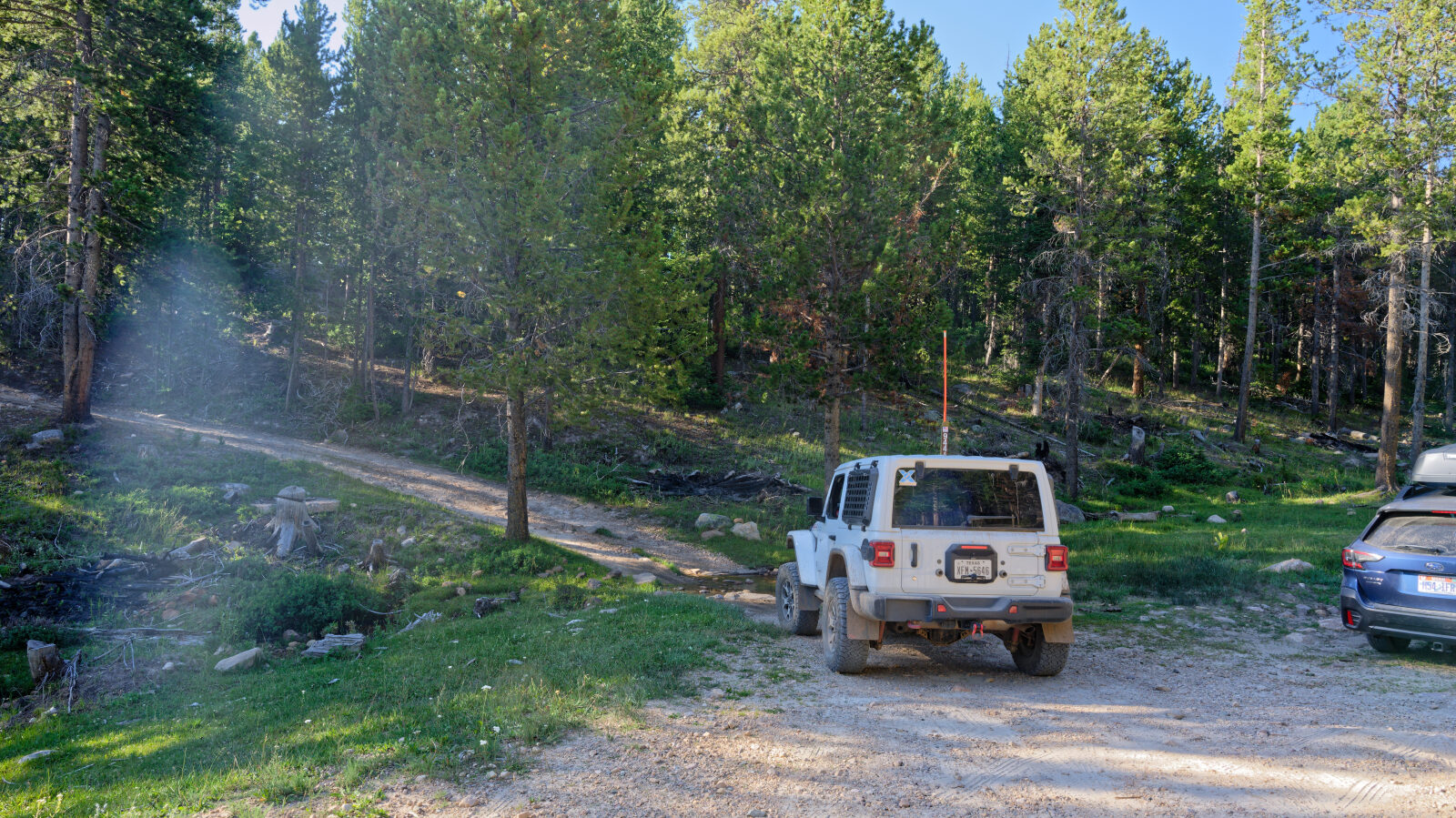
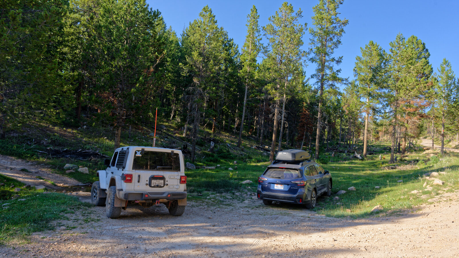
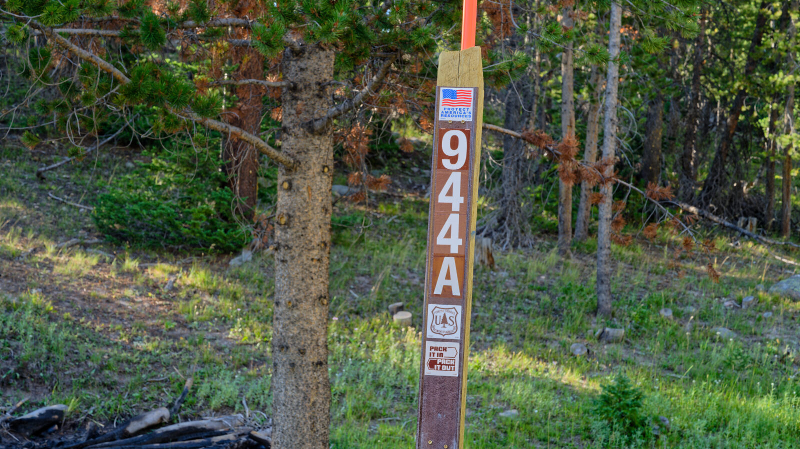
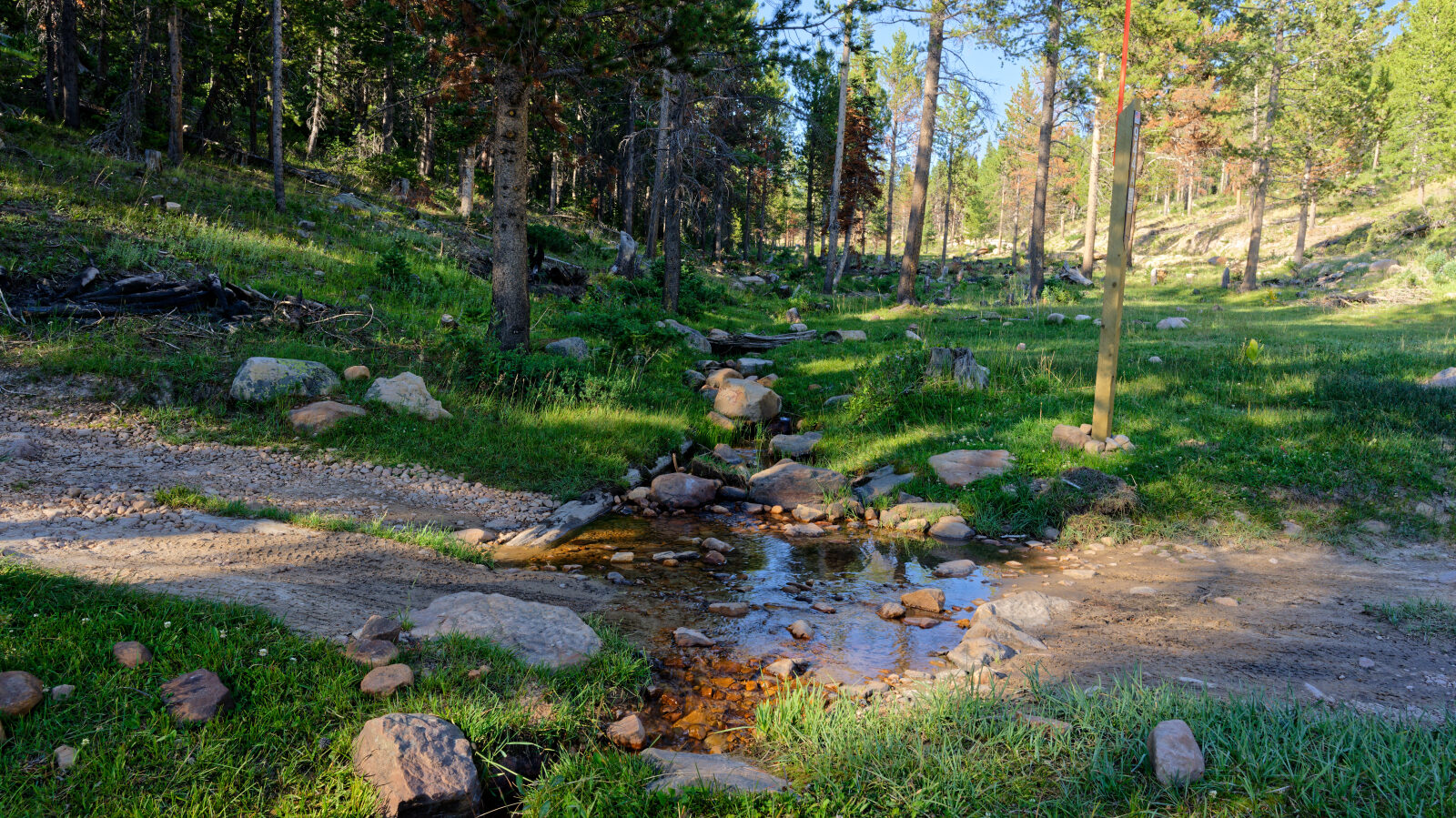
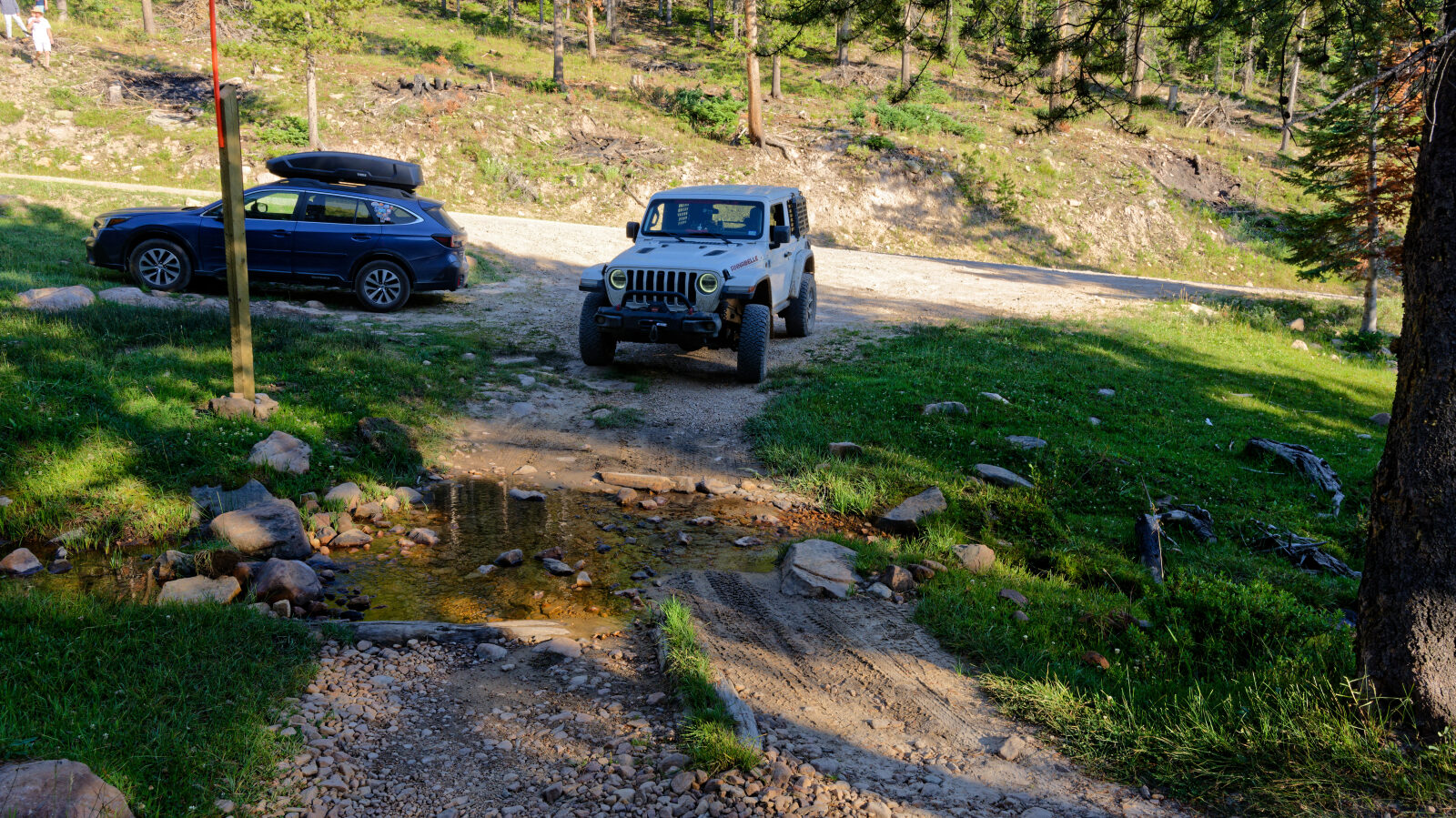
Waypoint 1 (40.61187, -110.98201)
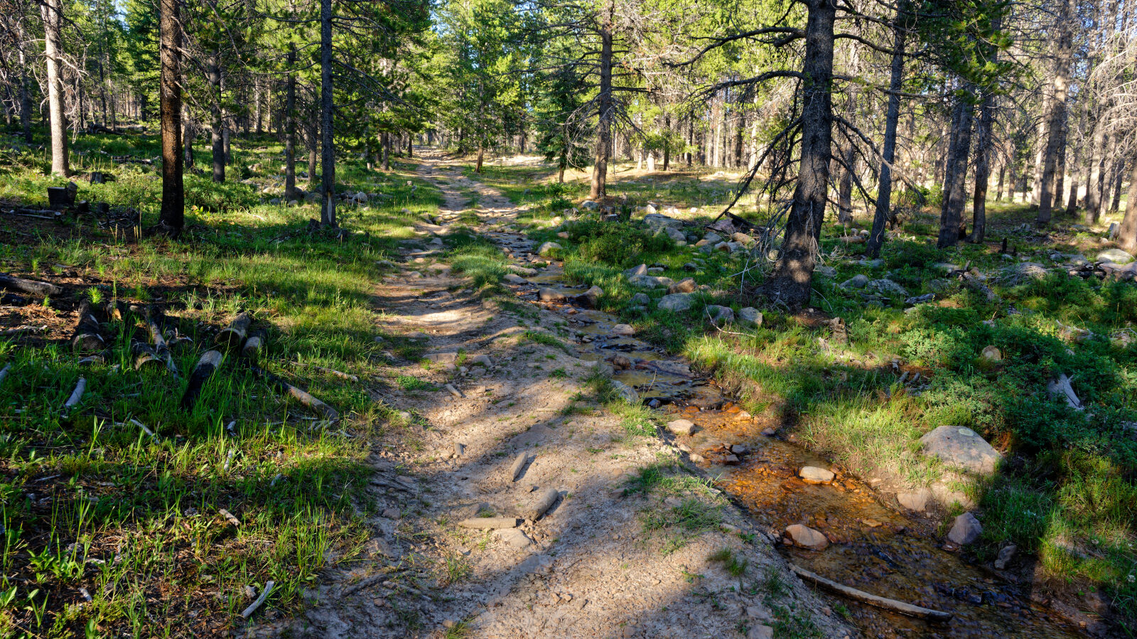
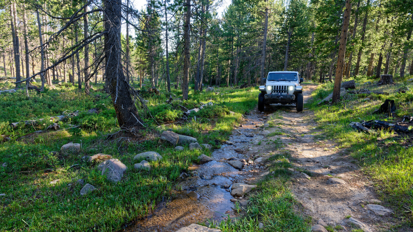
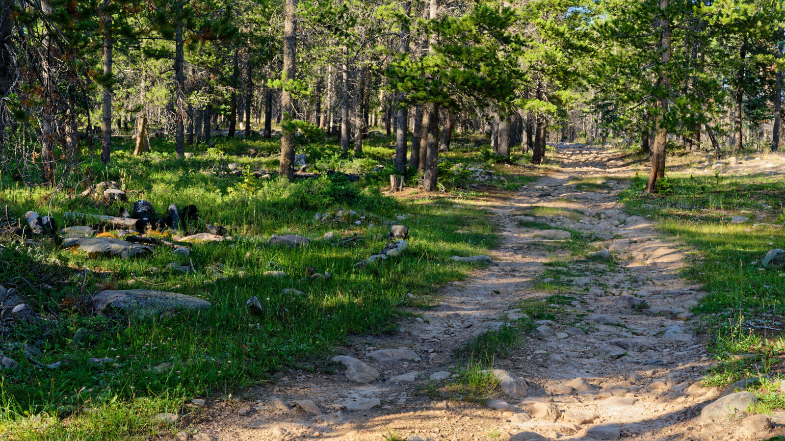
Waypoint 2 (40.61535, -110.97970)
Waypoint 3 (40.61690, -110.97813)