Spring Canyon 1 - Level 3
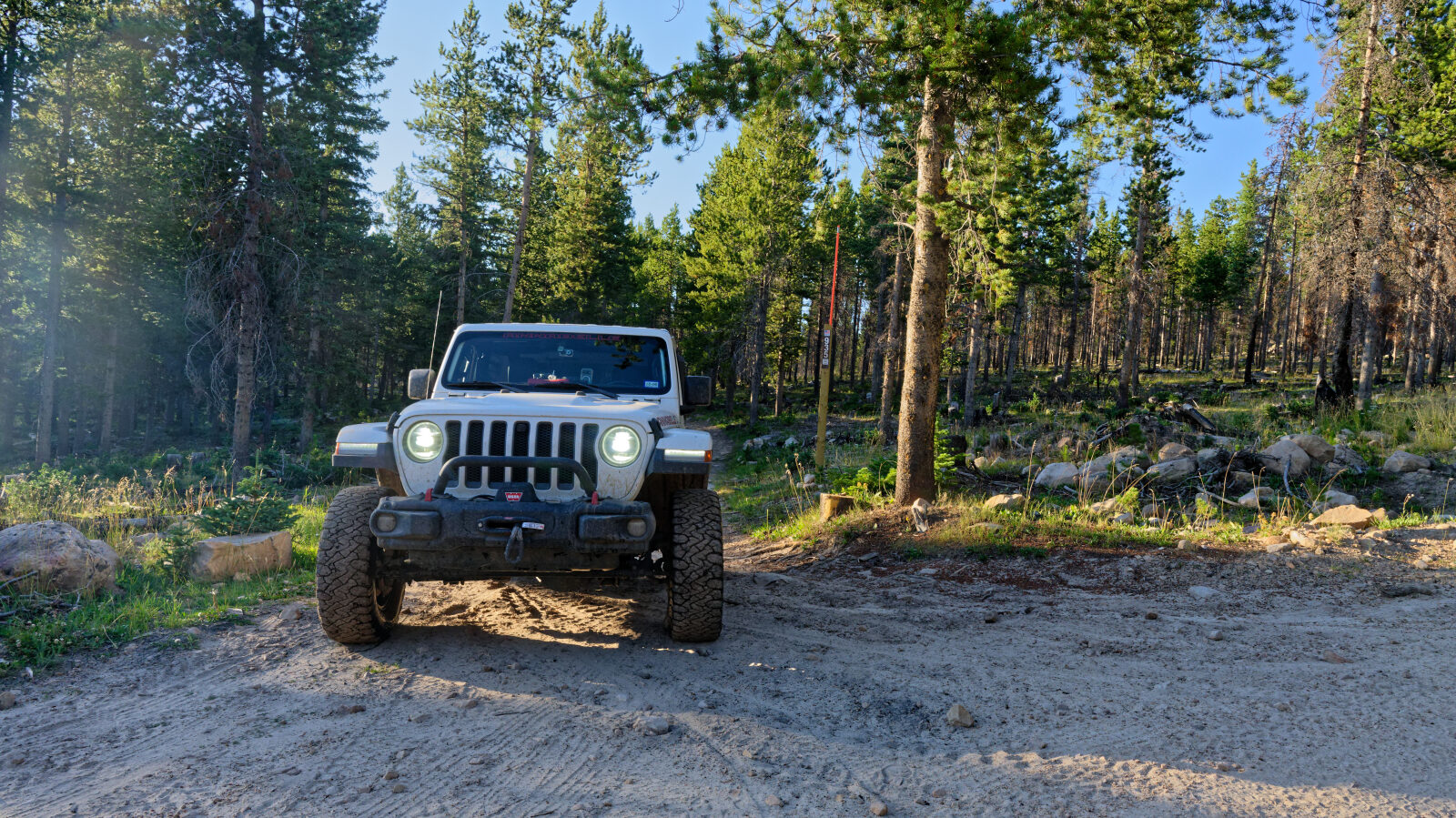
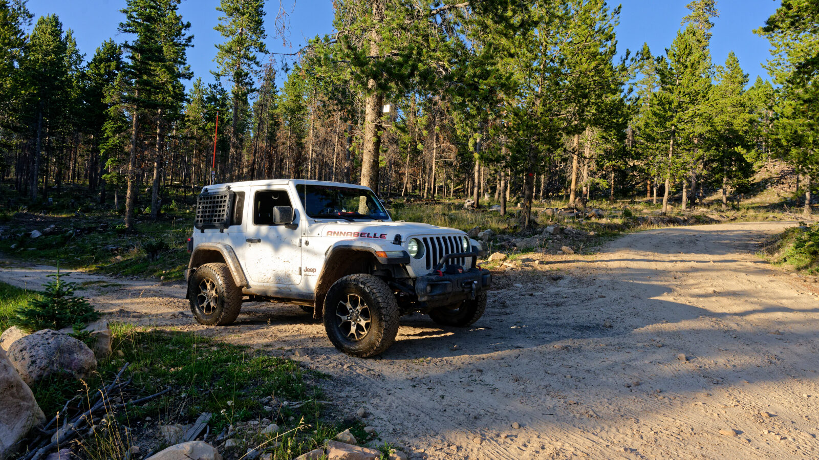
Spring Canyon 1 is a short spur off the main Spring Canyon/Trial Lake route. It runs into the pine forest of the high Uinta Mountains, on the Heber-Kamas Ranger District of the Uinta-Wasatch-Cache National Forest east of Kamas.
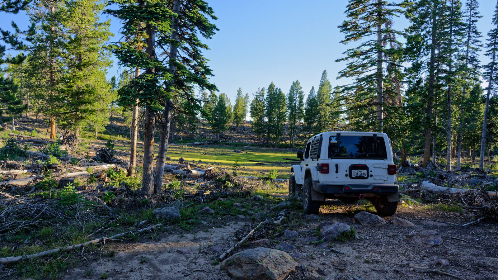
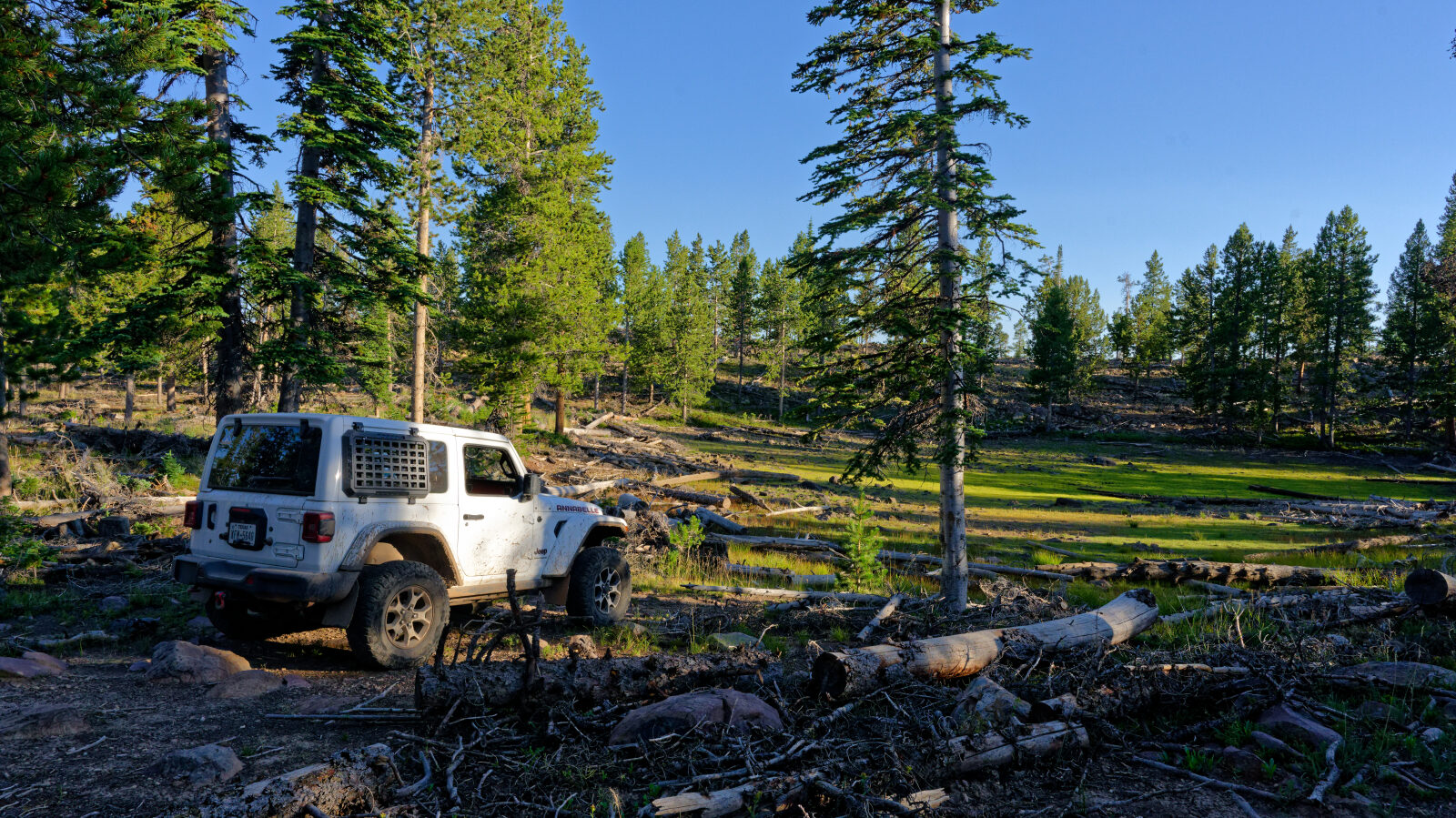
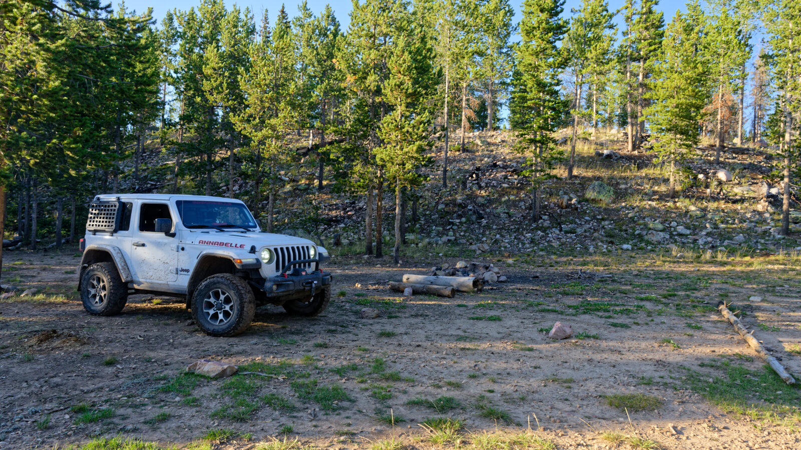
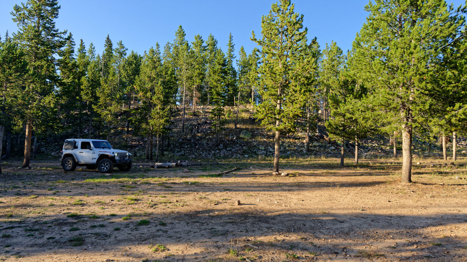
The road ends high on the ridge and is used mostly by people looking for a quiet place to camp, picnic or take in the view. You return the way you came.
Trail Summary
- LocationKamas, Utah
- Distance1.4 miles
- DifficultyLevel 3
- Elevation9,489 ft to 9,679 ft with a 190 ft change
- Travel Time36 minutes
Difficulty
Best suited for a high clearance 4x4
Moderate (level 3), best suited to a high clearance 4x4. Expect an uneven, rutted dirt road with some loose rock and a few bumpy stretches. Obstacles such as ledges or short steep grades should stay under about 12 inches. Any water or mud should be shallow, under about a foot deep. The road is generally one vehicle wide, with places to pull over and pass. The driver's log did not call out any specific obstacle or section needing special attention, so it is a matter of picking your line and tire placement on the rougher bumps. A stock 4WD with good ground clearance and all-terrain tires is enough.
Terrain
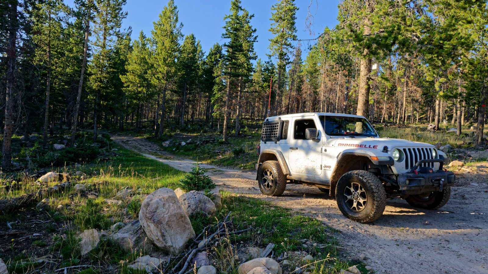
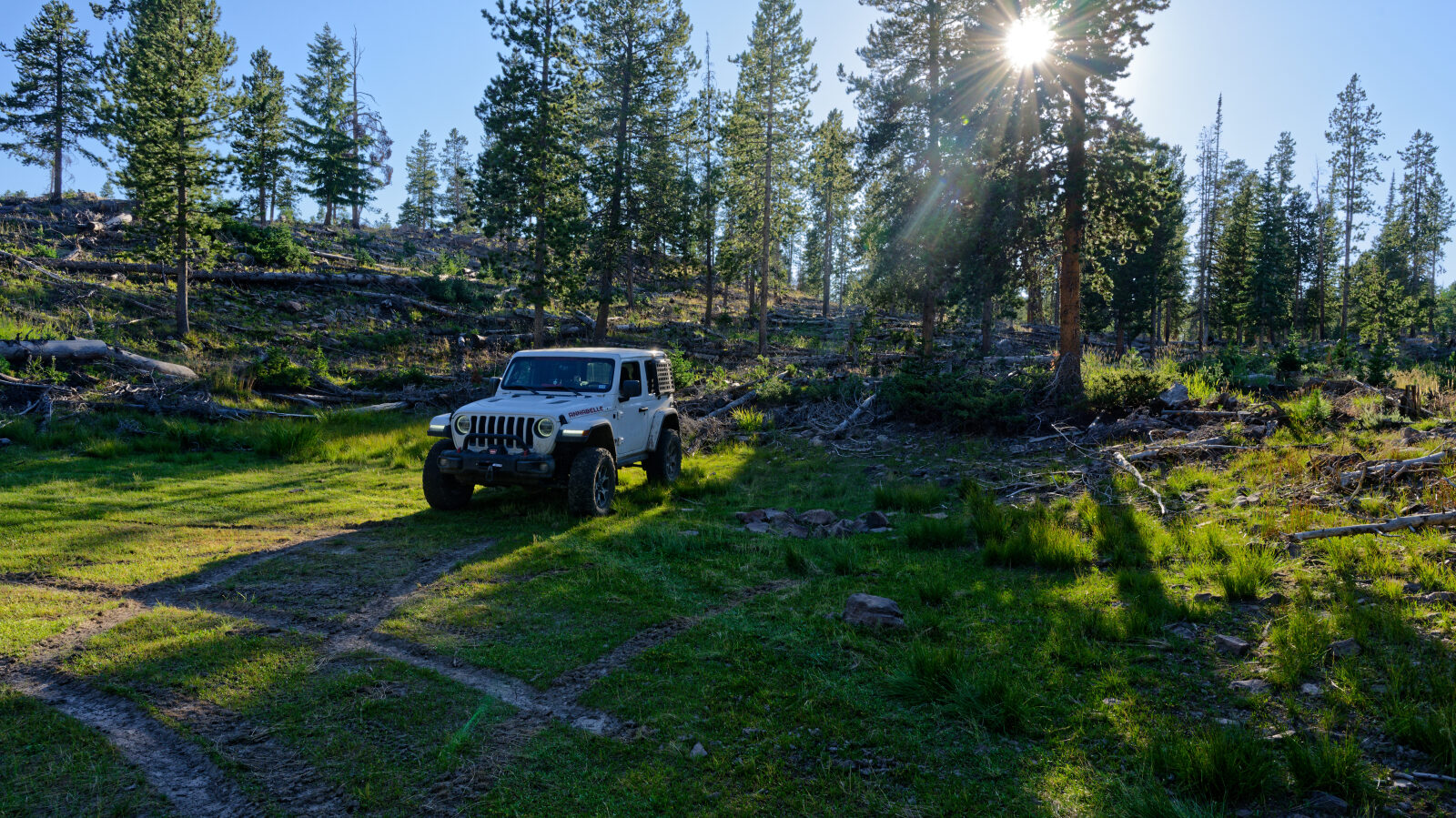
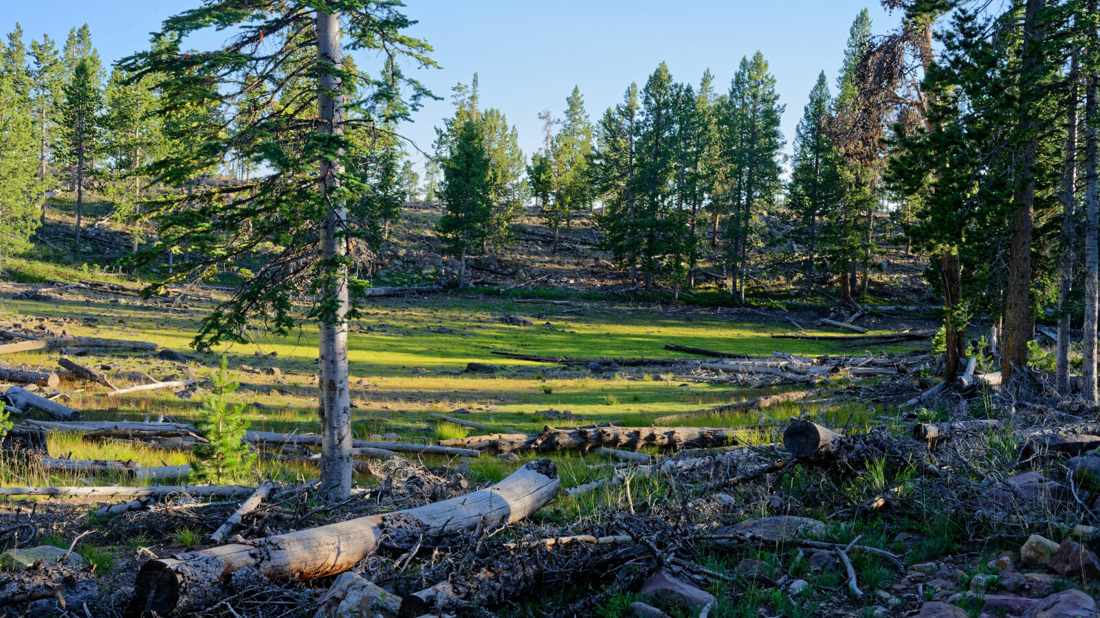
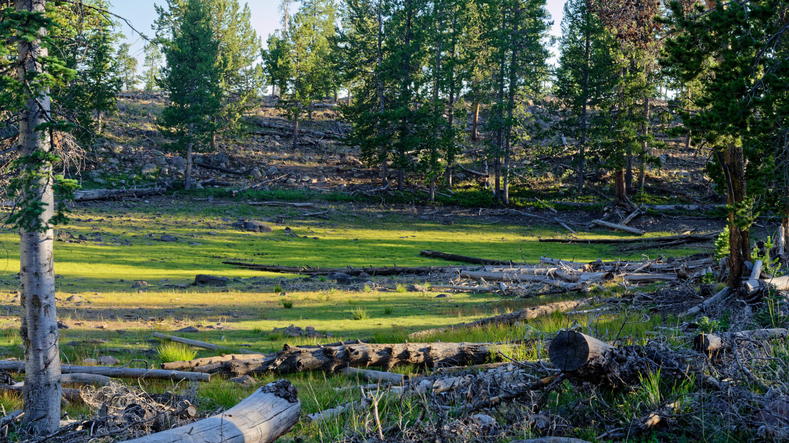
The road climbs gently through lodgepole pine forest at roughly 9,500 to 9,700 feet. The surface is native dirt with ruts and washboard-style bumps. Rocks are scattered along the way, and the Uinta Mountains are known for quartzite boulders left by glaciers. The road is lined with trees and has small clearings and meadow-like openings where people stop. Cattle graze in the area, so expect cow pats at the pull-offs and at the lunch spots.
Highlights
Spring Canyon 1 is a good base for a night out. Several spots along the road can take either a large group or a single small camp. Because it branches off Spring Canyon/Trial Lake, it connects easily to the many other forest roads, lakes and trailheads in that area. The road is typically open from about June 1 to November 1, and snow can linger in shaded patches early in the season. Check conditions with the Heber-Kamas Ranger District before you go.
Map
The interactive map needs JavaScript. Every waypoint is also listed below.
Waypoints
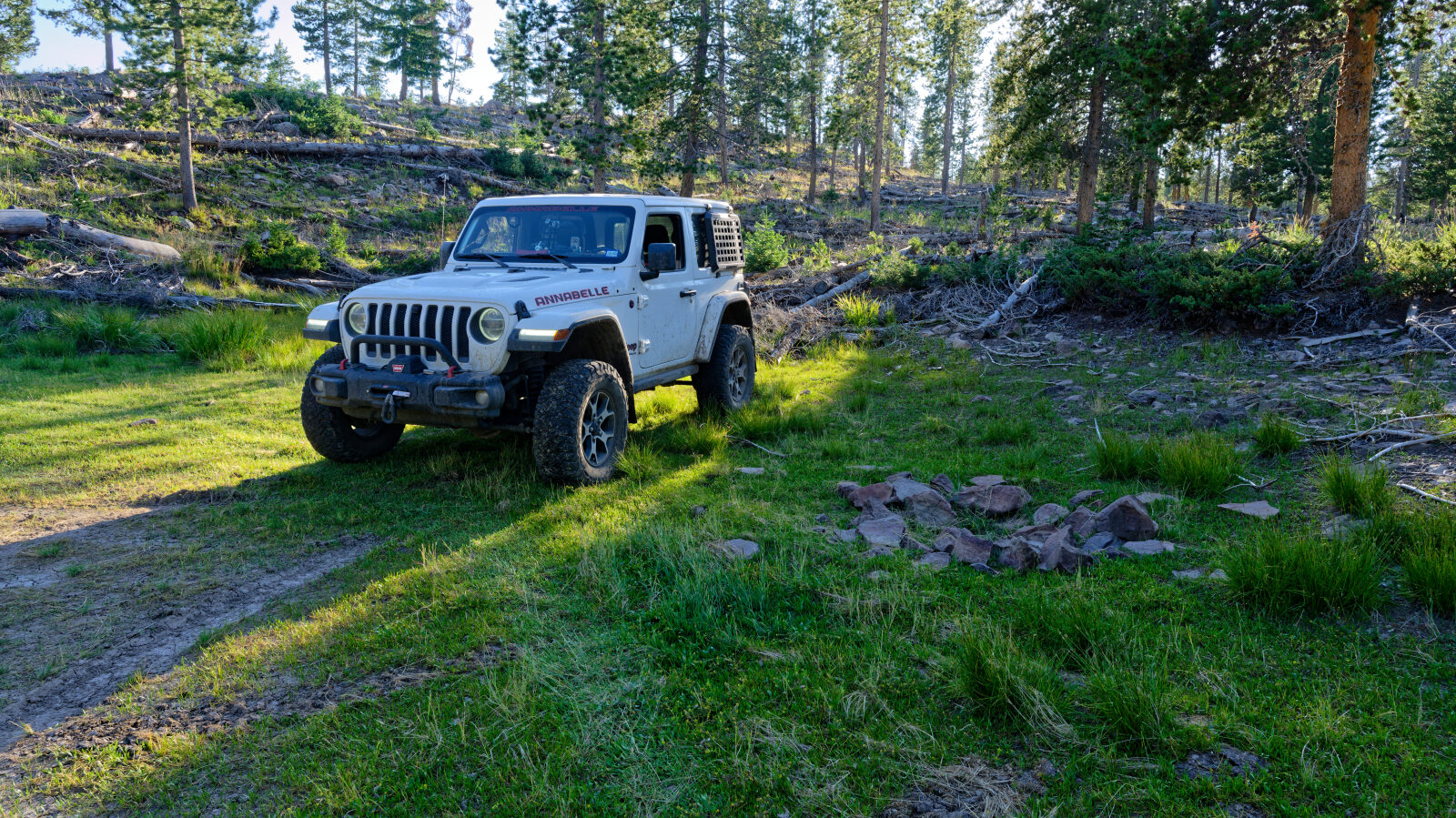
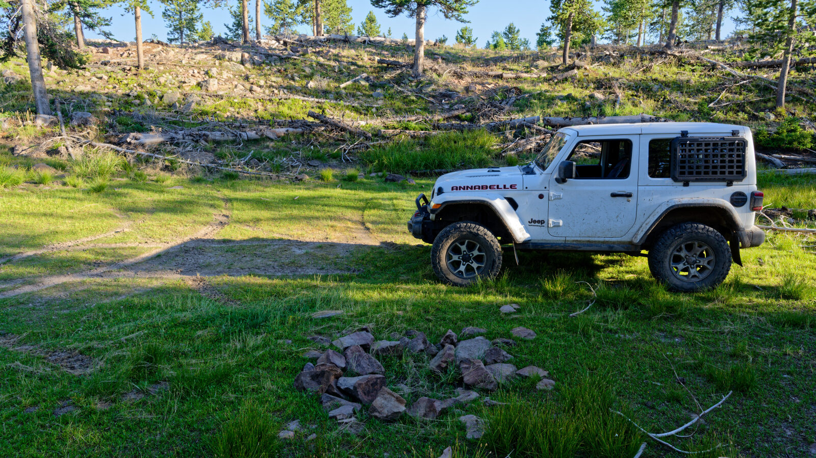
Waypoint 1 (40.61997, -110.98270)
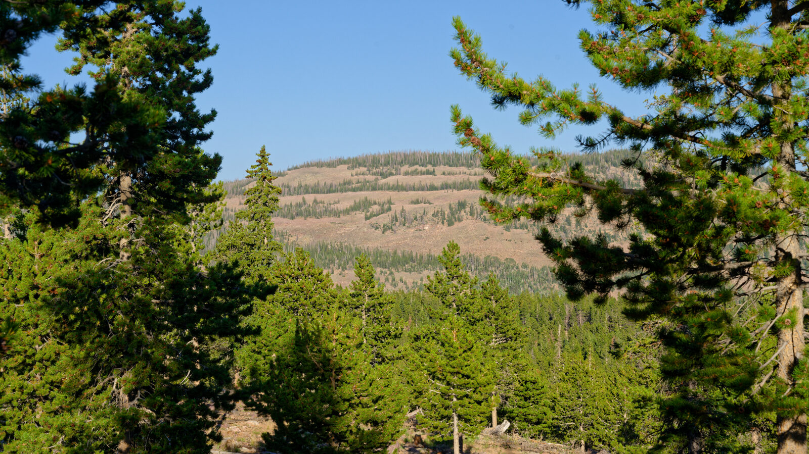
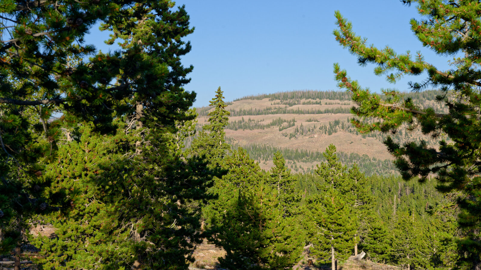
Waypoint 2 (40.62008, -110.98201)
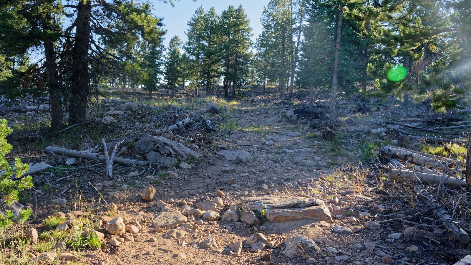
Waypoint 3 (40.62091, -110.97977)
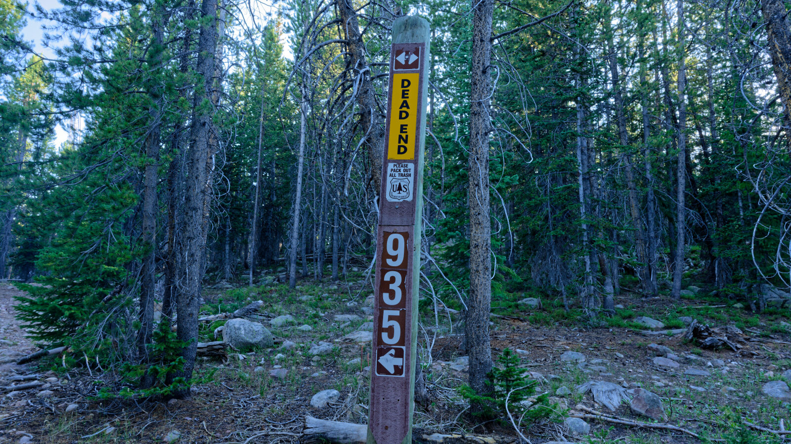
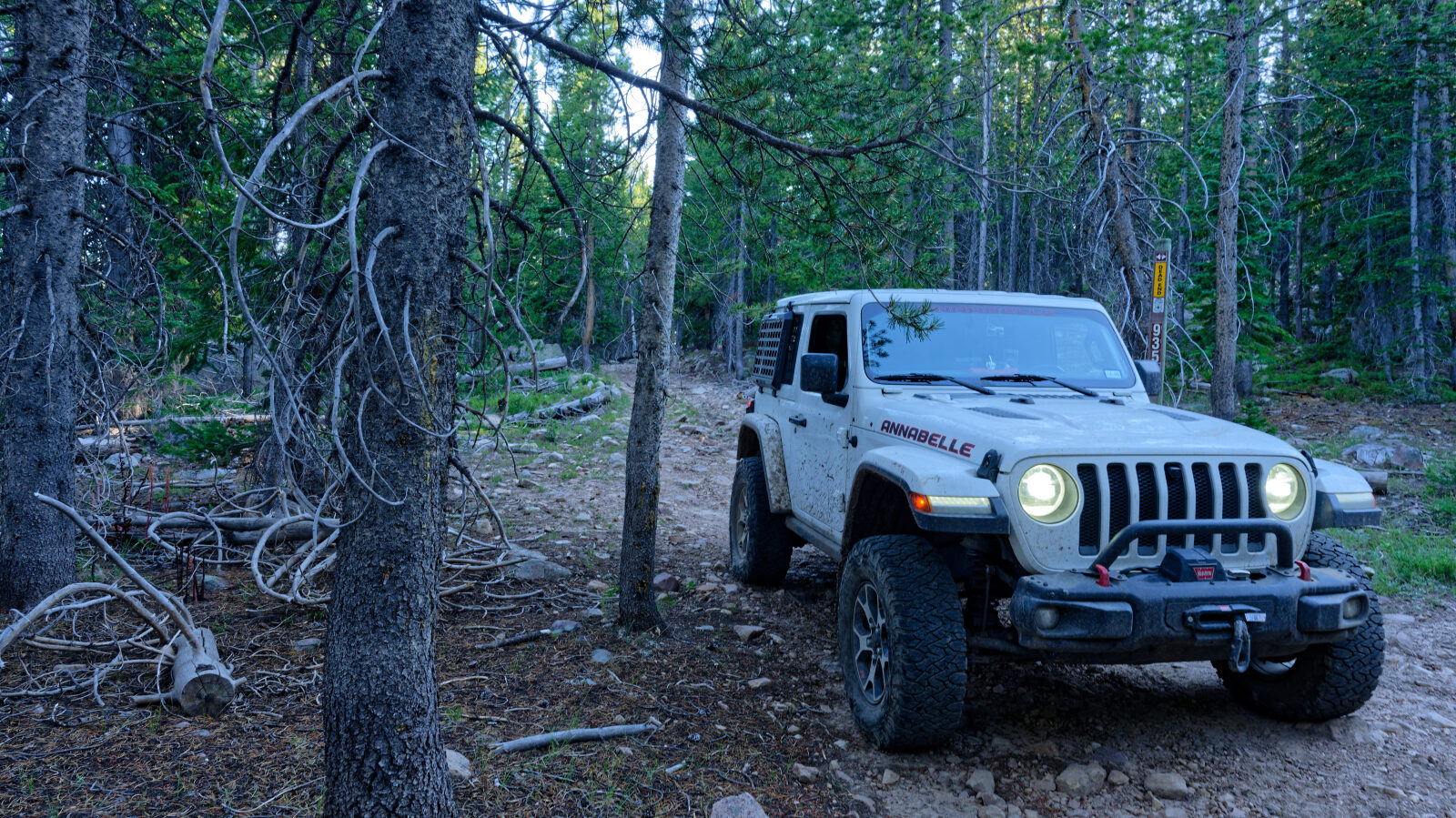
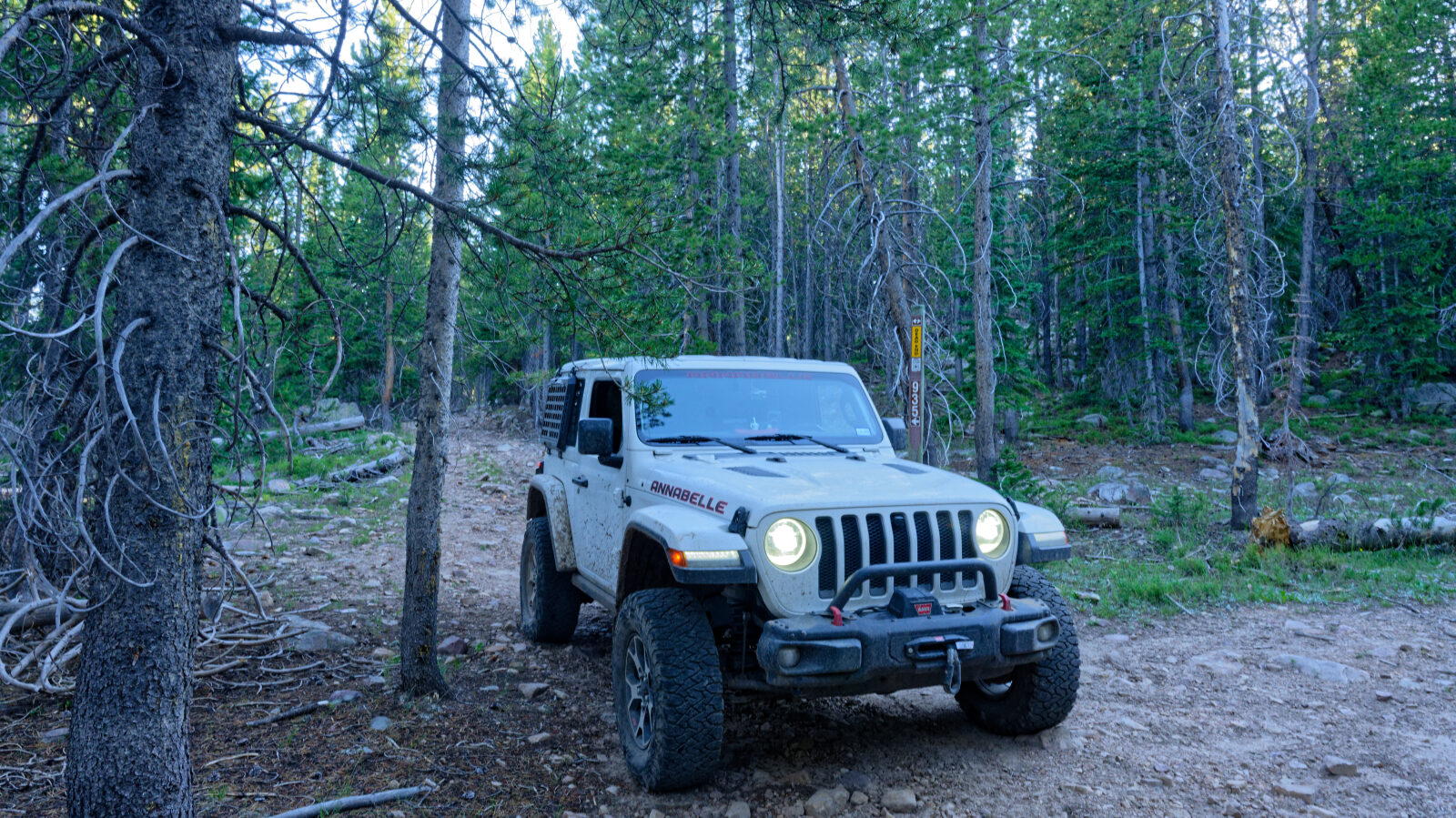
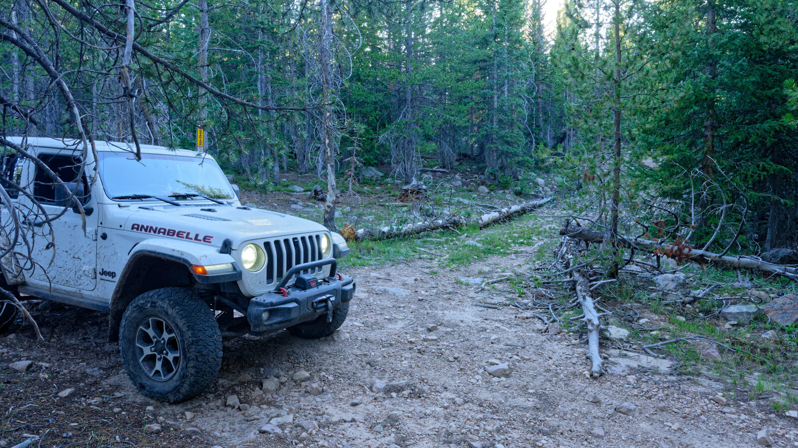
Waypoint 4 (40.62157, -110.97896)
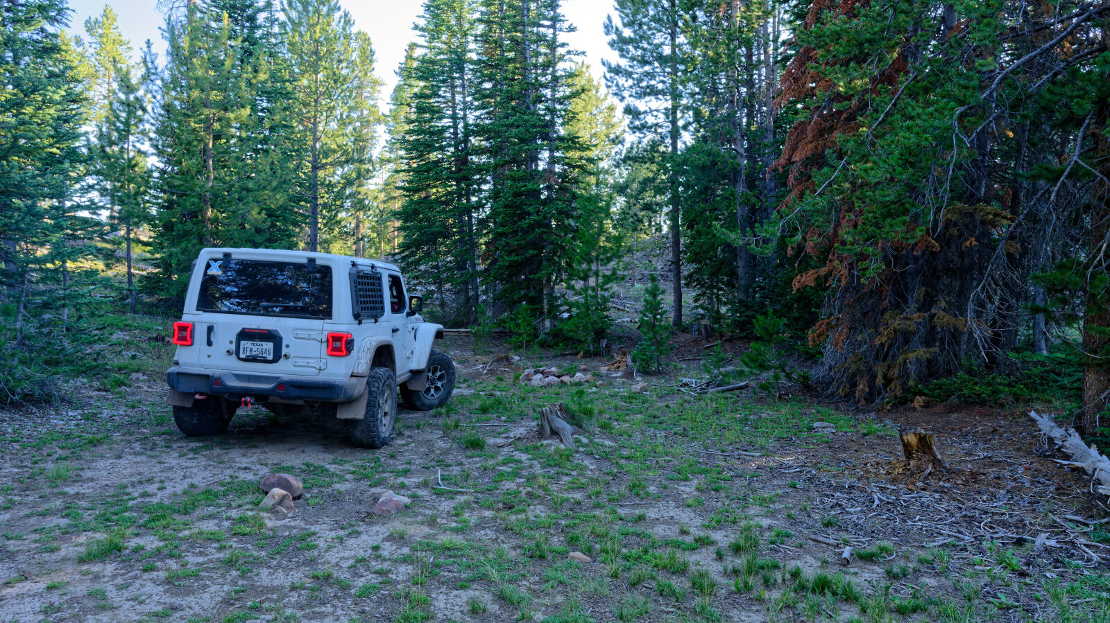
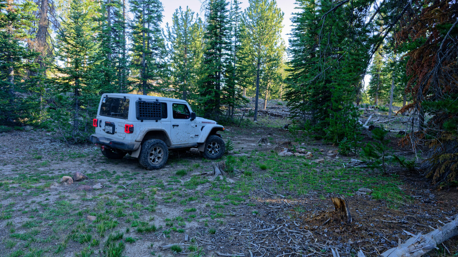
Waypoint 5 (40.62178, -110.98289)
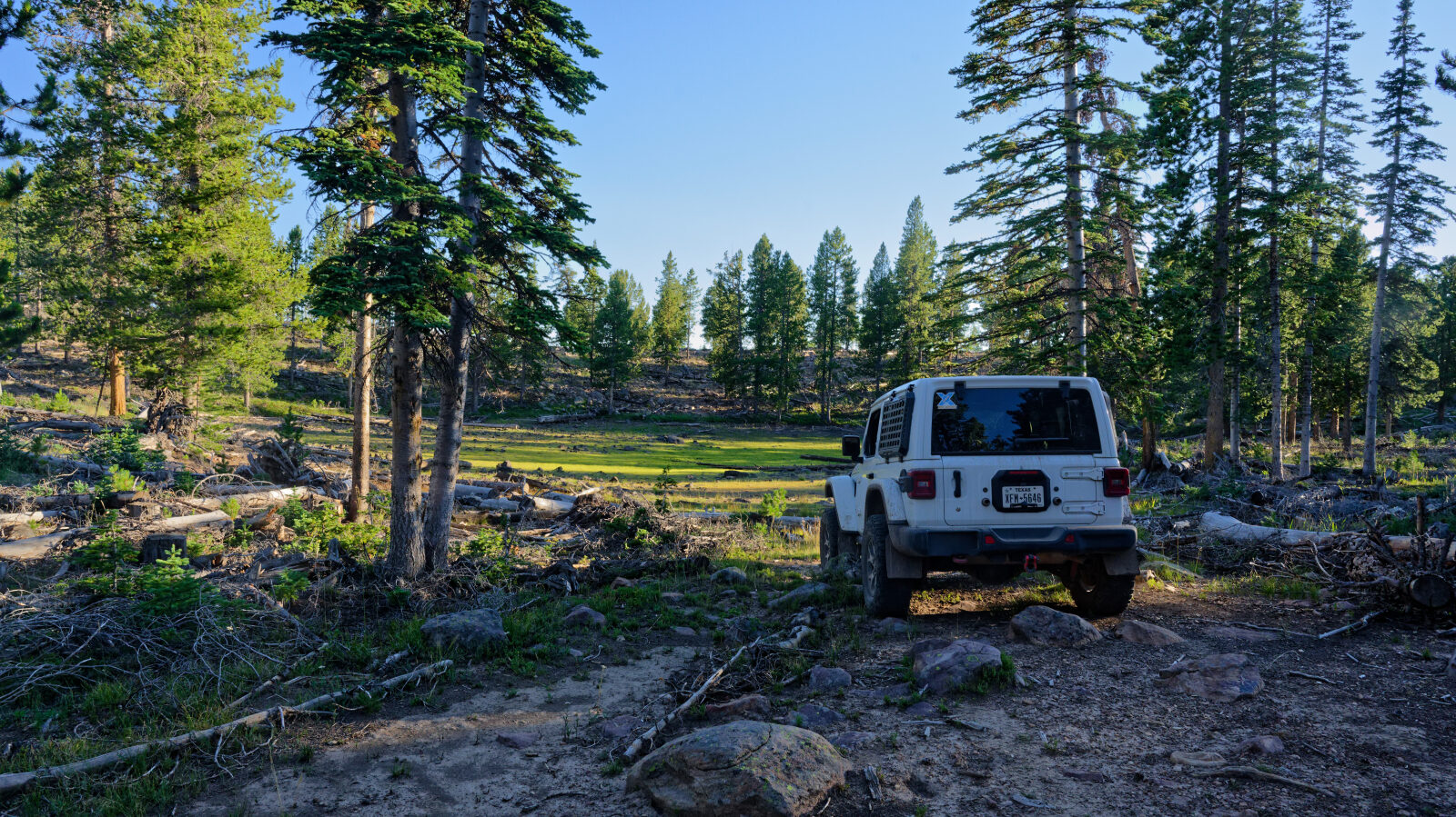
Waypoint 6 (40.62066, -110.98412)
Waypoint 7 (40.62041, -110.97707)