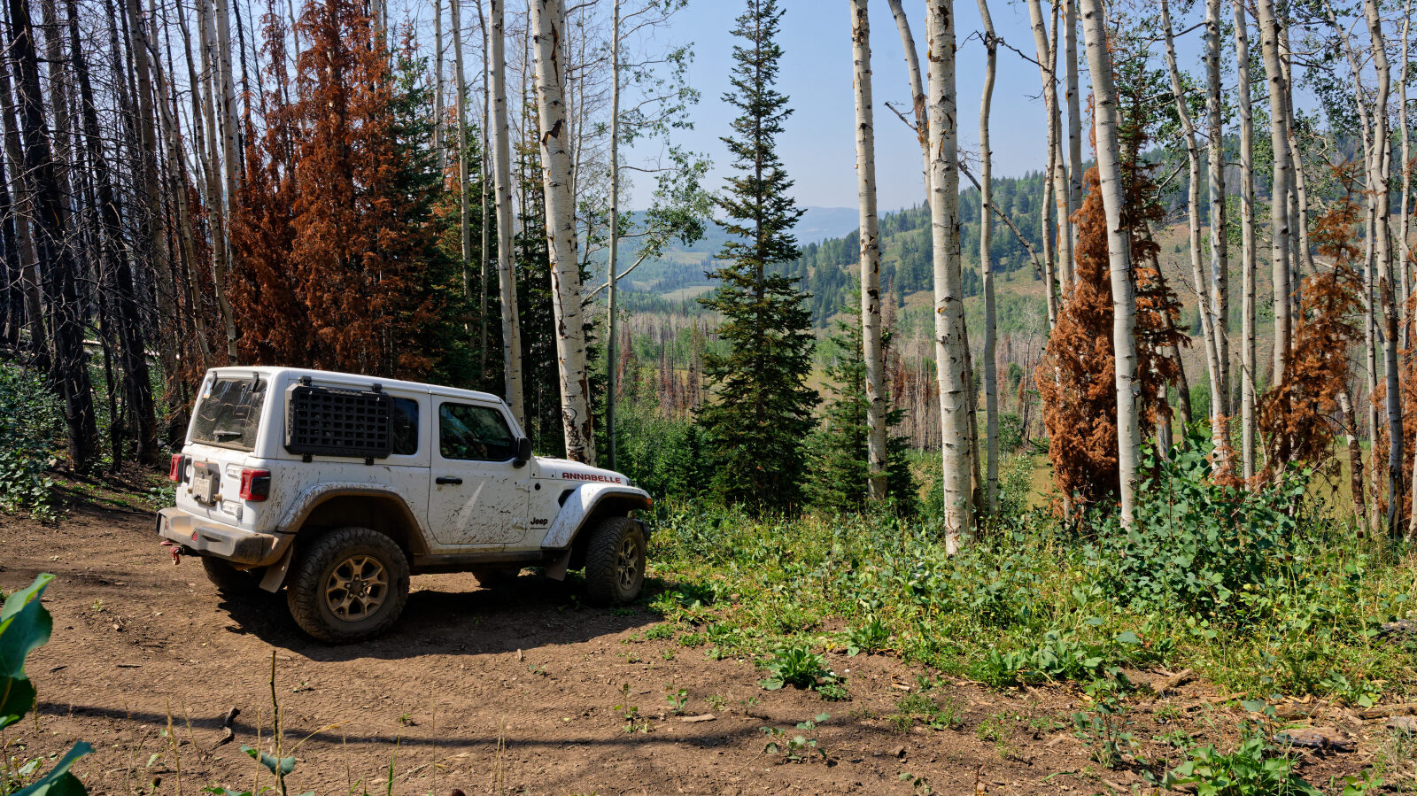
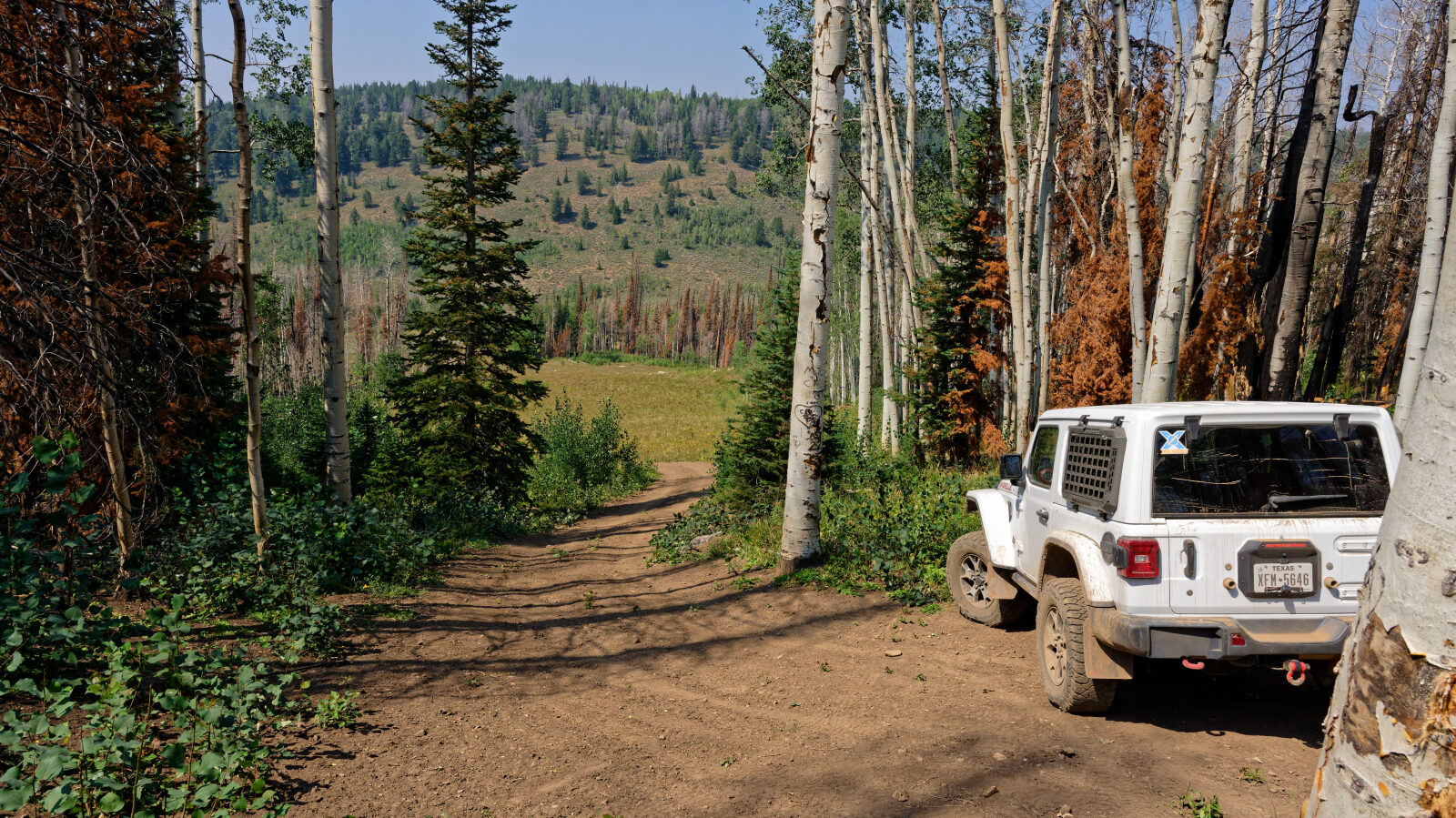
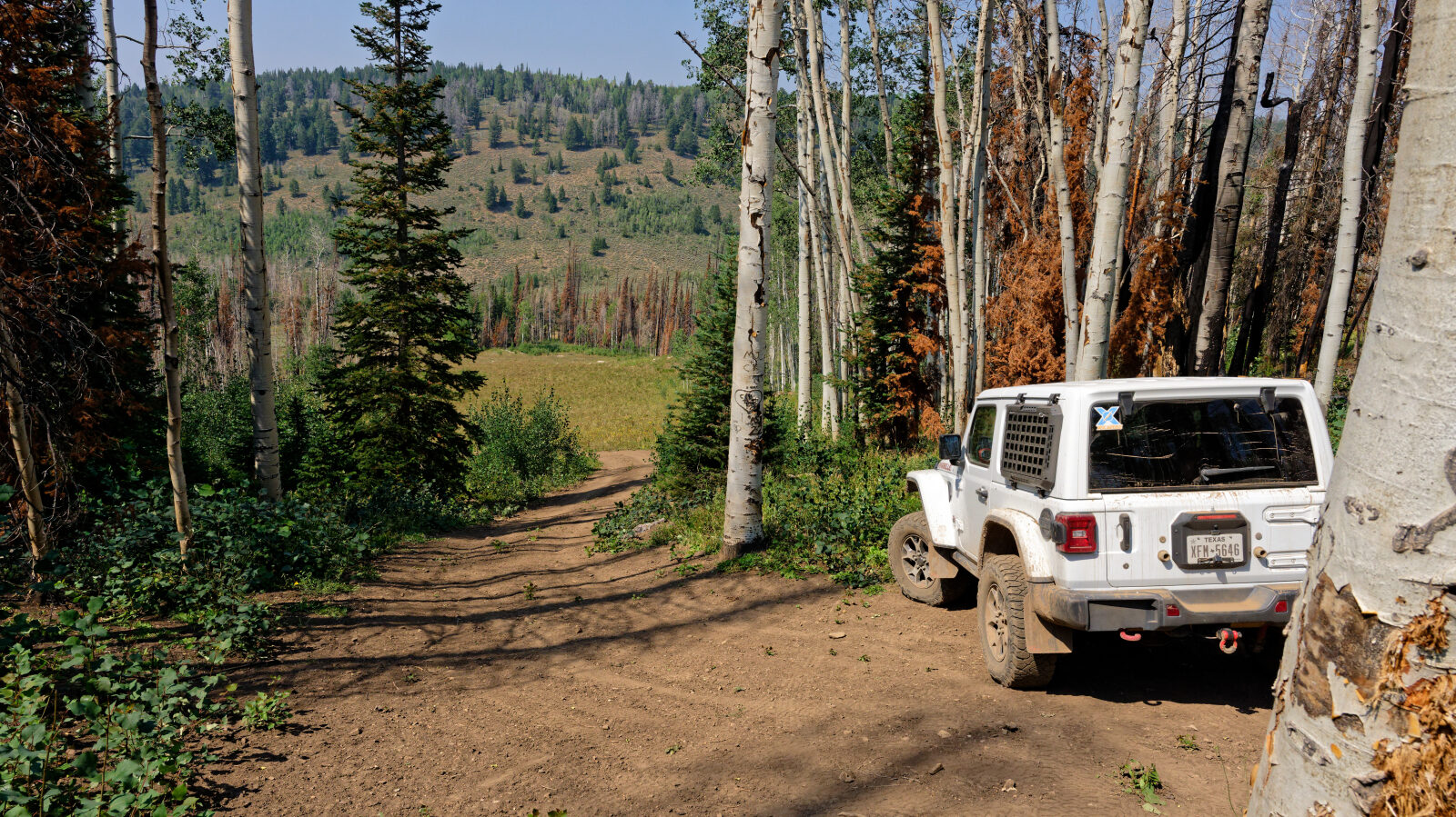
South Draw Soapstone - Level 3
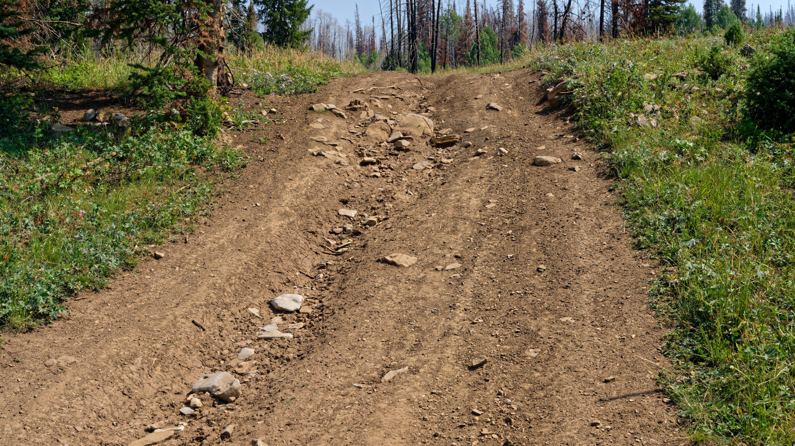
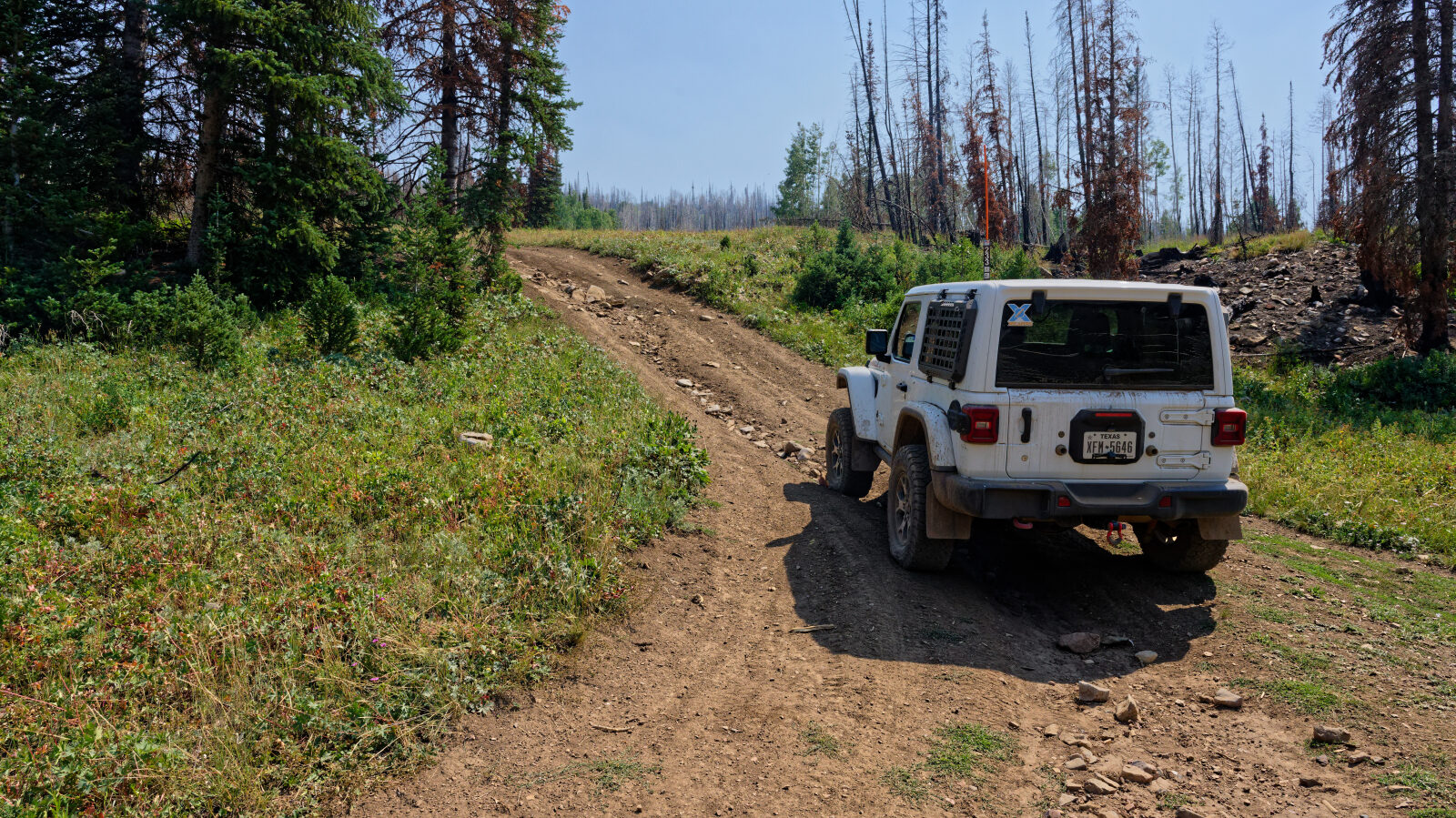
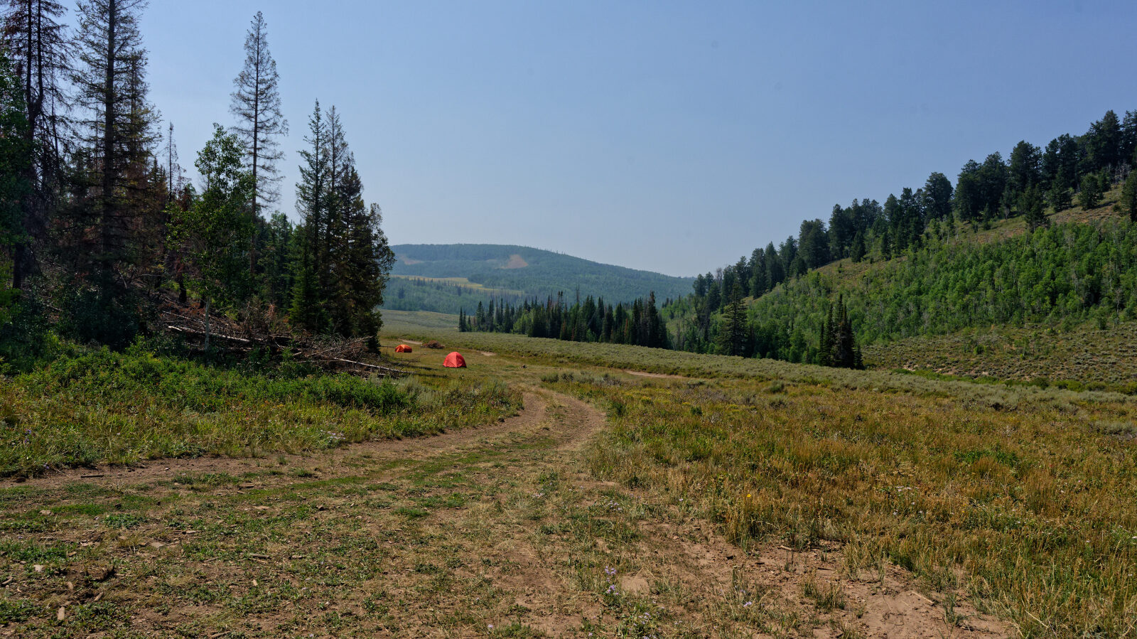
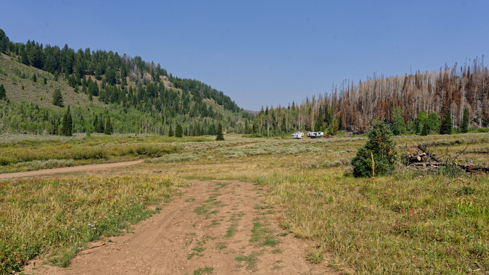
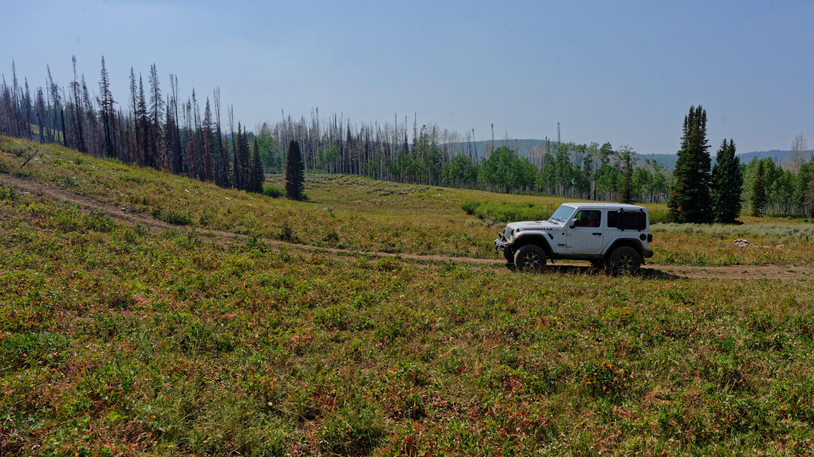
South Draw Soapstone is a short spur in the Uinta Mountains of Wasatch County, Utah, within the Uinta-Wasatch-Cache National Forest. It is reached from the forest road network east of Kamas and climbs through high country timber and meadows on a narrow route.
The driver's log has no notes for this route, so this report sticks to what the recorded track and photos show.
Trail Summary
- LocationKamas, Utah
- Distance0.3 miles
- DifficultyLevel 3
- Elevation8,593 ft to 8,858 ft with a 265 ft change
- Travel Time11 minutes
Difficulty
Best suited for a high clearance 4x4
Moderate (level 3) suits a stock, high clearance 4x4 with off-road tires. Expect uneven, rutted dirt with possible loose rock, sandy washes and short steep grades. Obstacles up to about 12 inches, such as ledges or drops, may call for careful tire placement. Water crossings should be under a foot deep, and the road is generally one vehicle wide with places to pass. The log does not call out any specific obstacle on this route.
Map
The interactive map needs JavaScript. Every waypoint is also listed below.
Waypoints
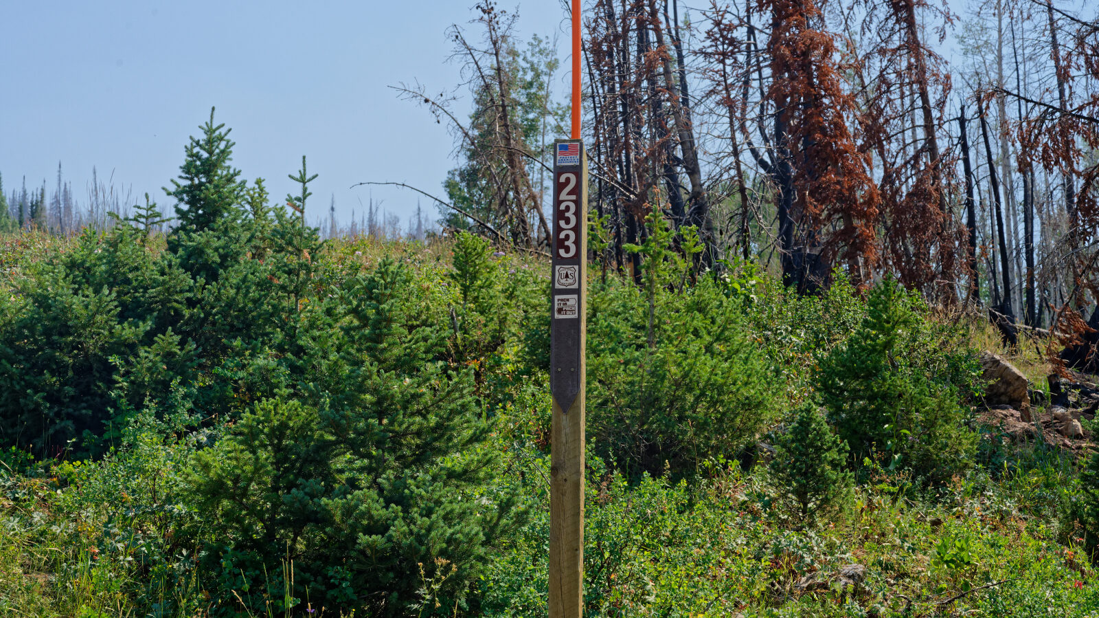
Waypoint 1 (40.54127, -111.02253)
Waypoint 2 (40.53942, -111.02270)